Point 4251 - 2.25.2022
|
I parked at the Turkey Flats message board in the Pinto Basin area of Joshua Tree National Park... and that is Pinto Mountain out there... but I will be hiking in the opposite direction.
|
Hiking cross country from where I parked at Turkey Flats... Mary Peak stands out on the right... but I will be heading for Point 4251 which is the high point on the far left horizon.
|
After hiking 1.5 miles it is time to leave the desert floor and head for Point 4251 which is the high point in the center of the photo.
|
My target is on the far left... at least I think it is.
|
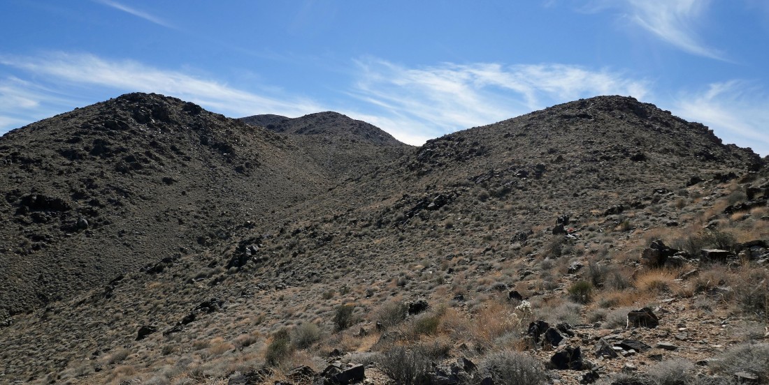
Point 4251 is barely visible in the left center of the photo... looks like several more ups and downs will get me over there.
|
|
Nope this isn't Point 4251... but it will be the last bump I cross over before tagging Point 4251.
|
Finally Point 4251 is in my face... and there are no more ups and downs to get there... just an up!
|
After hiking a total of 4.6 miles cross country I have reached Point 4251... here looking SE to the Eagle Mountains.
|
From Point 4251 I am looking SW to Monument Mountain... which is roughly 3 miles away as a crow flies.
|
From Point 4251... looking north (left) to SE (right)... across Pinto Basin... with Pinto Mountain standing our in the left center of the photo.
|
|
A closeup of Pinto Mountain... looking across Pinto Basin from Point 4251.
|
Leaving Point 4251 and heading toward Mary Peak in the foreground... with Queen Mountain on the left horizon.
|
More or less tracing my steps back down to the desert floor... with Pinto Mountain in the center of the photo.
|
After hiking a total of 7.8 miles I have returned to the desert floor... heading in the direction of Pinto Mountain.
|
I have returned to Turkey Flats... with Pinto Mountain displaying its many colors... the total hike was 9.3 miles, gaining 2911 feet of elevation.
|
