Lang Mine Peak and Lang Mine - 3.3.2022
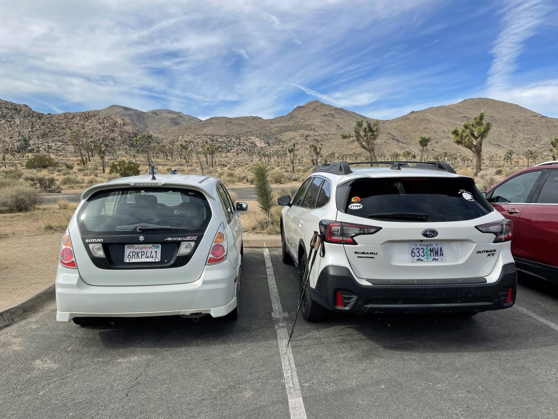
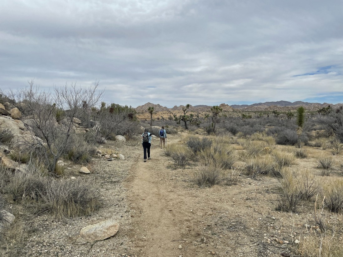
We parked at the Quail Springs Picnic Area in Joshua Tree National Park... and started hiking SW on the obvious, but unsigned 'Johnny Lang Connector' Trail... heading in the direction of Mount Minerva Hoyt and Quail Mountain... the two peaks way out there on the left horizon.
|
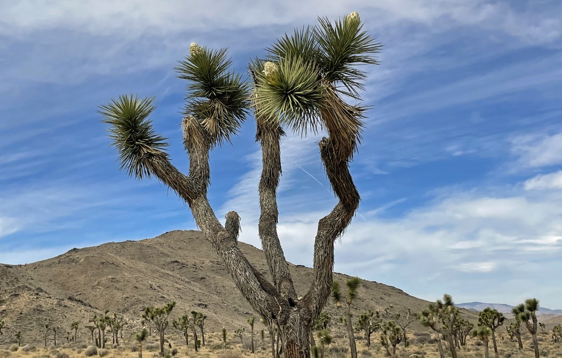
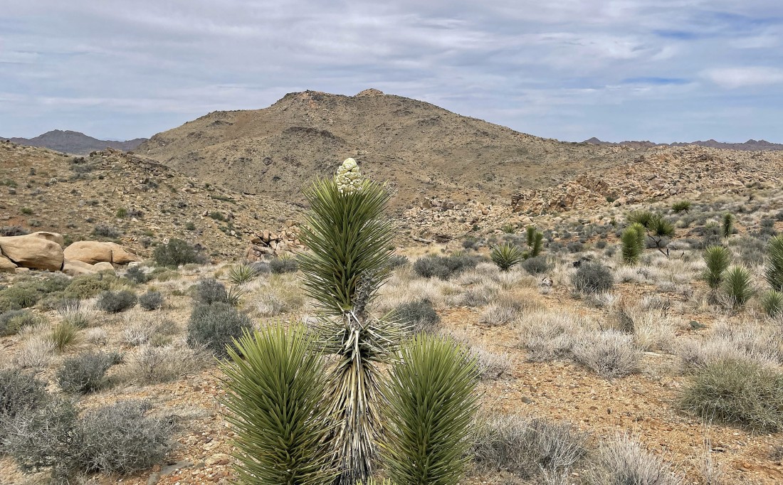
Some of the joshua trees are blooming.
|
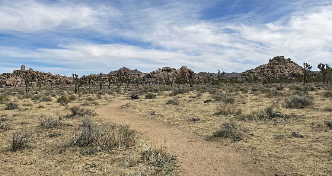
Looking back at the Quail Springs Picnic Area... as we continue hiking SW on the 'Johnny Lang Connector' Trail.
|

Part of the trail is on a sand dune.
|
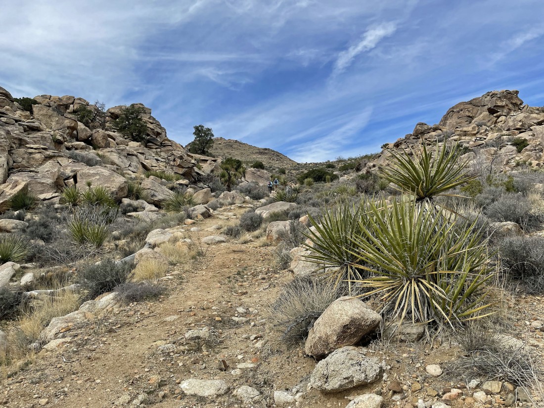
Off of the sand dune and leaving the desert floor as the connector trail takes us uphill.
|

Nice steps on the connector trail.
|
Lang Mine Peak is way out there in the left-center of the photo... with Mount Minerva Hoyt in the right-center of the photo.
|
Getting closer to Lang Mine Peak in the left-center of the photo... and with Mount Minerva Hoyt in the right-center of the photo.
|
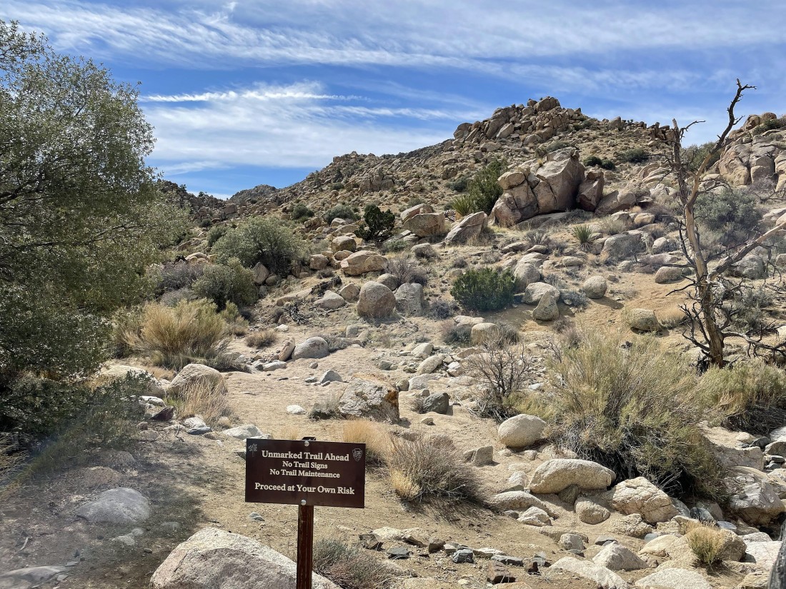
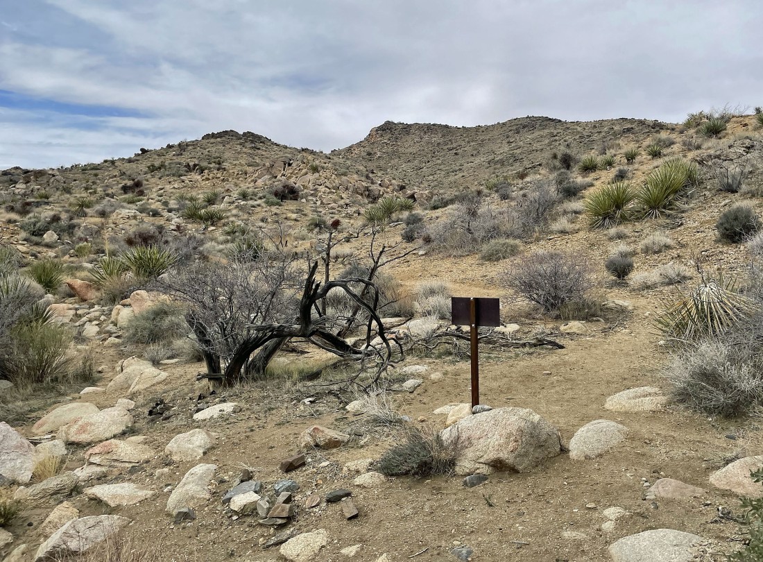
After hiking 2 miles we have dropped down into Johnny Lang Canyon... we will continue up the canyon for a bit... proceeding at our own risk according to the sign.
|
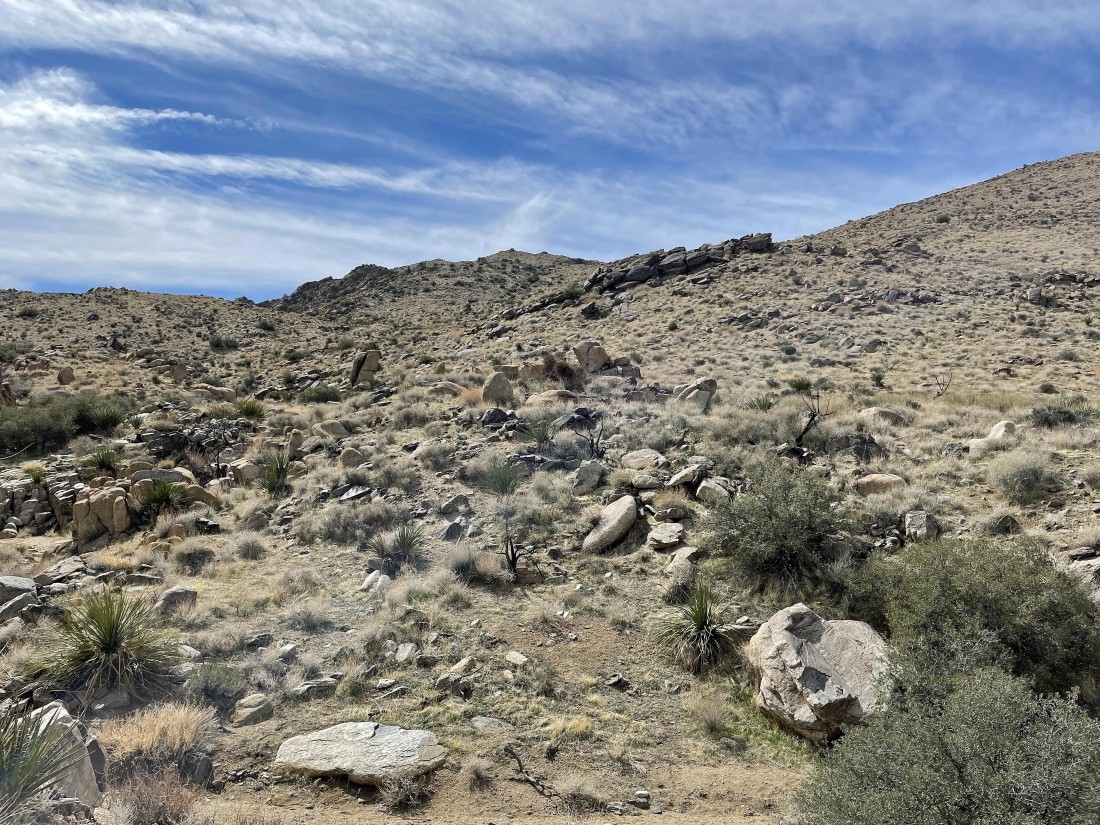
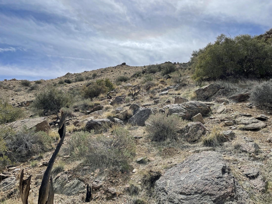
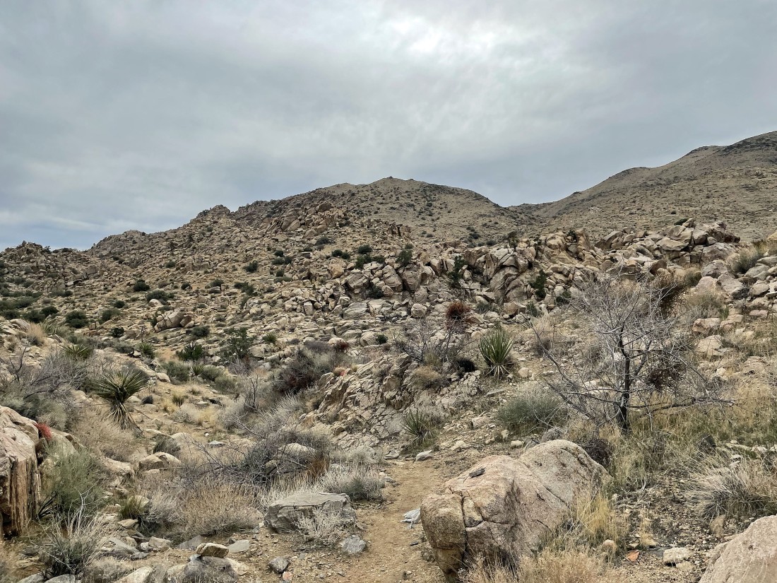
We have left the canyon and are heading uphill to the south... heading for the little bump up there in the center of the photo.
|
|
Denali Girl hiking cross country... heading south for the lang mine.
|
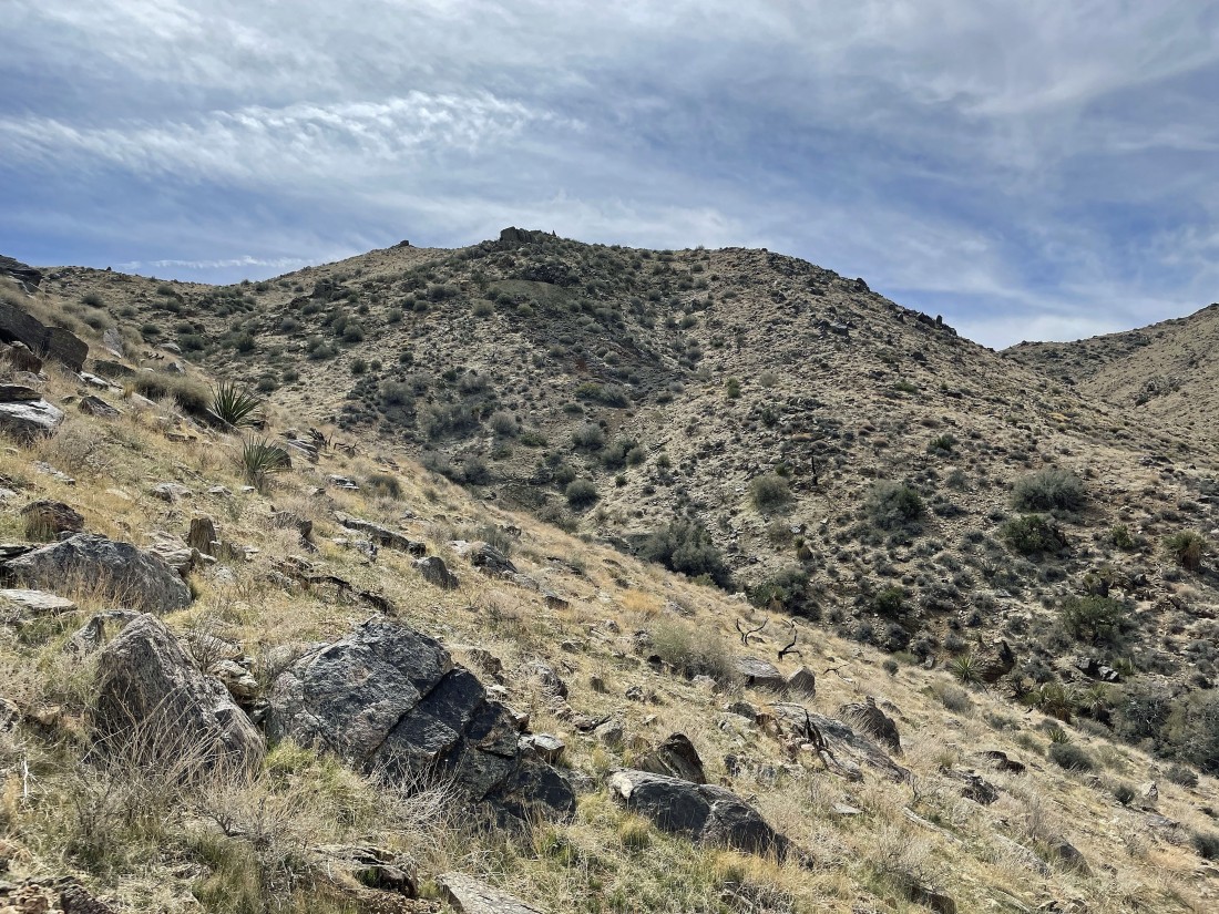
After hiking a total of 2.5 miles I have rounded a bump on the ridge... and I can see the Lang Mine (center of the photo, 200 feet below the ridge) and Lang Mine Peak (the high point on the horizon).
|
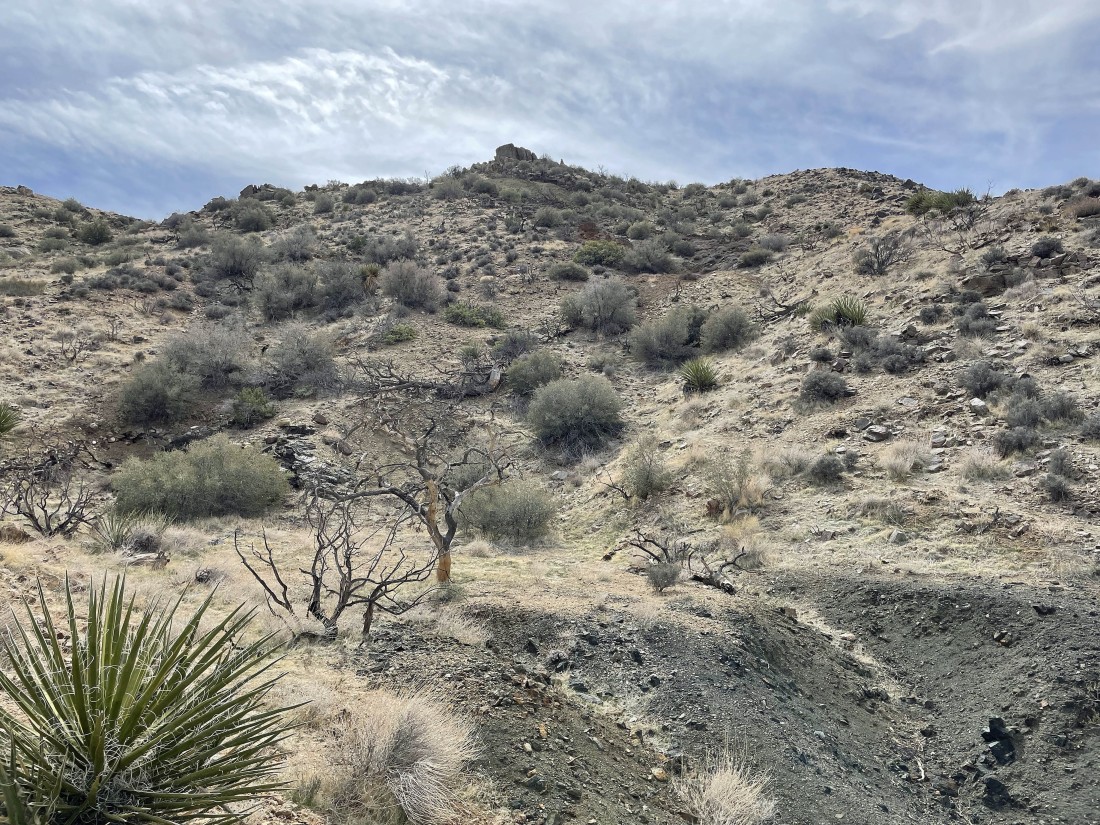
Nearing the mining area.
|
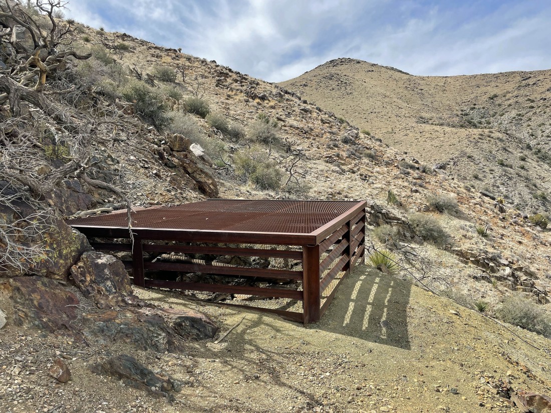
After hiking a total of 2.8 miles I have reached the Lang Mine at 4780 feet.
|
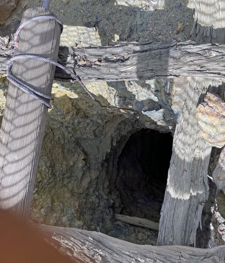
I was able to get my camera through the mine grate cover... and this one was very deep... and covered for a very good reason.
|
|
Looking north from the Lang Mine... down Johnny Lang Canyon to the left... and across Quail Springs to the Wonderland of Rocks on the right.
|
I still need to gain 250 feet of elevation to get up to Lang Mine Peak.
|
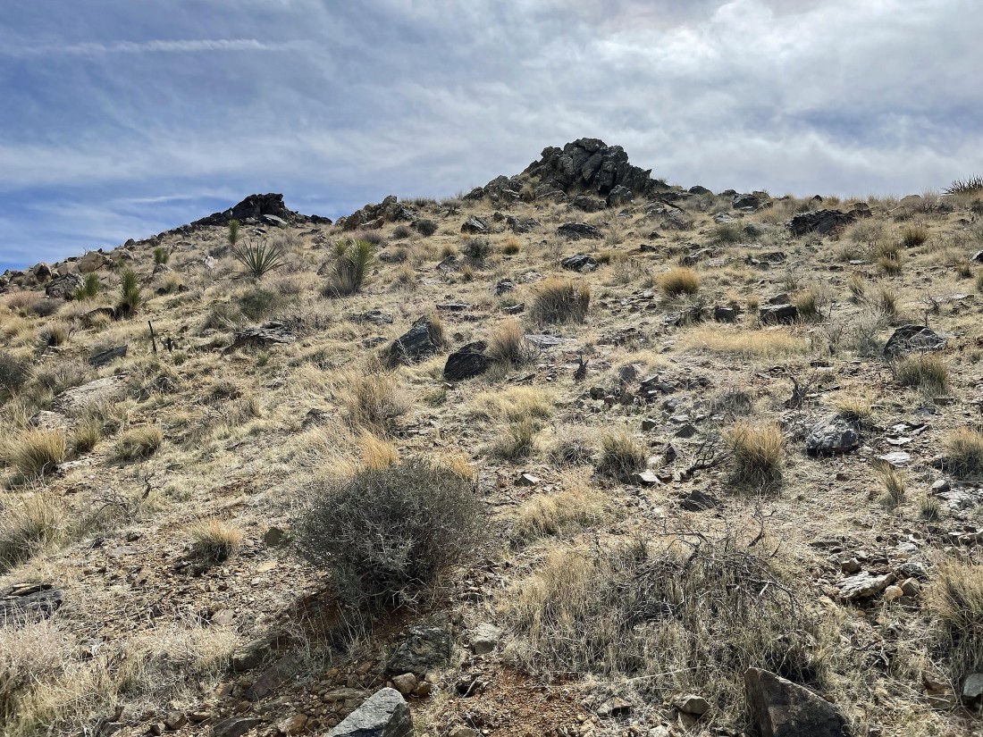
Getting closer to Lang Mine Peak on the left.
|
After hiking a total of 2.9 miles I'm at 5,041 feet... here looking NE at Queen mountain on the left horizon... and looking SE at Ryan Mountain on the center horizon.
|
Looking north from Lang Mine Peak with Quail Springs, Quail Wash and the Wonderland of Rocks in the distance... and Queen Mountain on the far right horizon.
|

Looking back at Lang Mine Peak as we head down the ridge looking for Johnny Lang Canyon.
|

Looking back at Lang Mine Peak as we head down the ridge looking for Johnny Lang Canyon... the mining operation is over at the right edge of the photo... a little more than halfway up the right edge.
|
A bloomer as we head down for the floor of Johnny Lang Canyon.
|
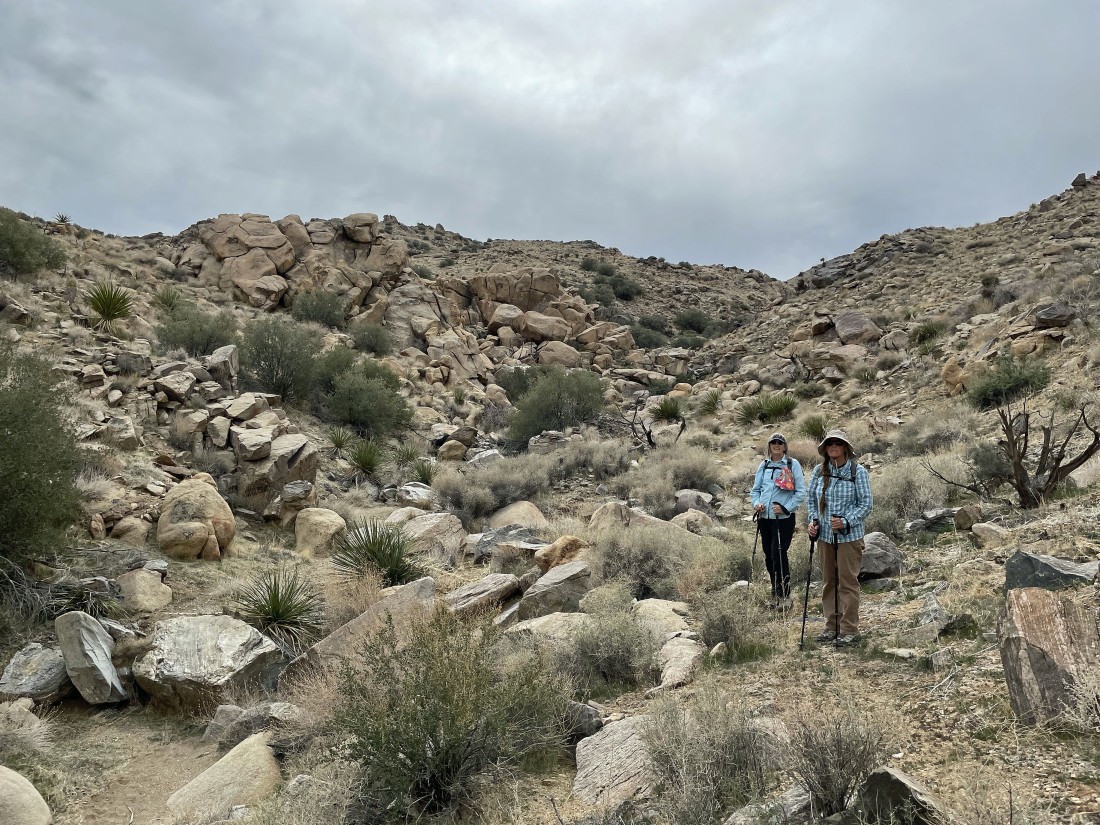
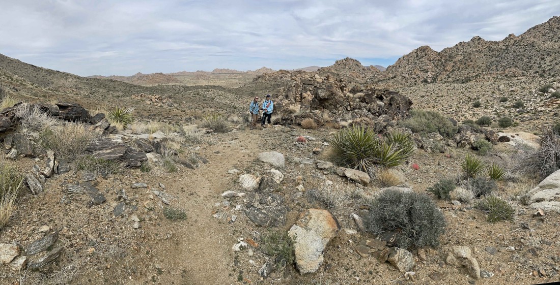
Denali Girl and Star Dancer are back in the floor of Johnny Lang Canyon.
|
After hiking a total of 3.9 miles we are getting ready to rejoin the 'Johnny Lang Connector' Trail.
|
Looking back up at Lang Mine Peak in the center of the photo as we reconnect with the 'Johnny Lang Connector' Trail.
|
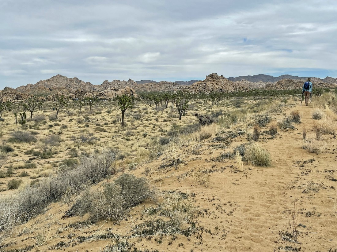
Still hiking on the connector trail... heading for the great wide open over there in the distance.
|
After hiking a total of 5.3 miles we have reached the desert floor and heading for the sand dune in the distance.
|

Getting ready to hike up onto the sand dune.
|
We are hiking along the sand dune... and can see the Quail Springs Picnic Area a stone's throw away... the total hike was 5.9 miles, gaining 1531 feet of elevation.
|
