Vagmarken Hill - 3.12.2022
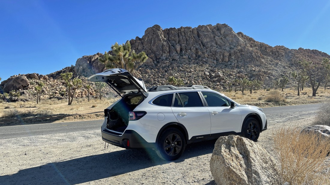
From the west entrance pay station to Joshua Tree National Park... I drove Park Blvd for 4.9 miles and parked in an unpaved pull-out next to the road... that is Vagmarken Hill in the distance... however, the summit is not visible in this photo.
|

I am hiking around the west side of Vagmarken Hill in order to find much easier terrain than you saw in the first photo.
|
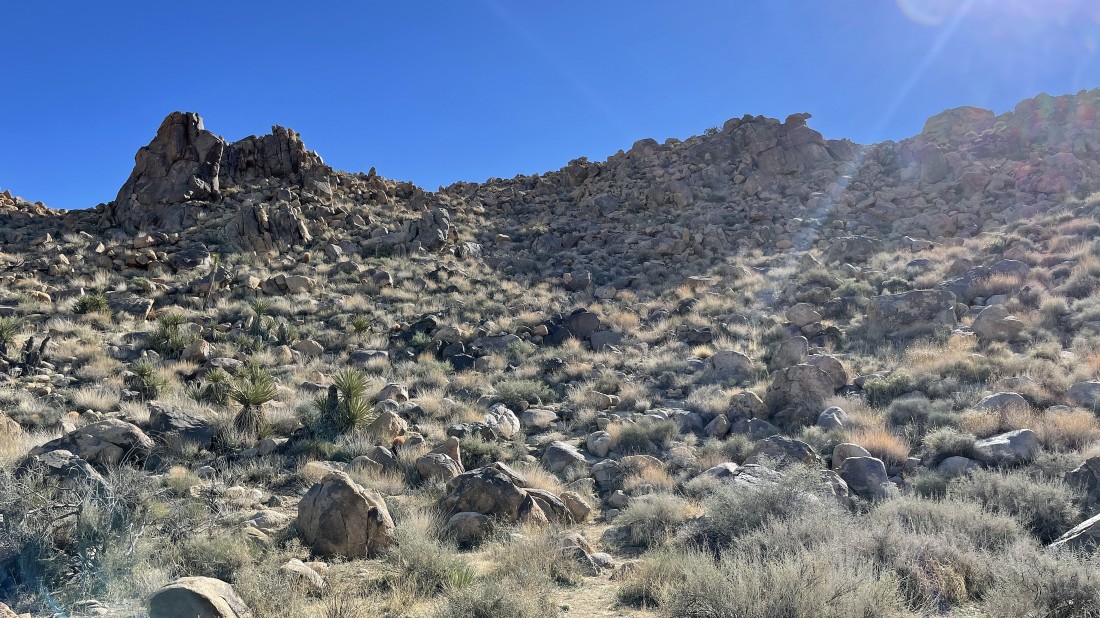
After hiking a quarter-mile I have found the path (middle of photo) that will get me up to my target.
|
As I gain elevation I'm looking back to the NW... across the desert floor toward the west entrance to JTNP... with the Little San Bernardino Mountains on the left horizon... and San Gorgonio Mountain (snow capped) on the left-center horizon... with 'The Maze' in the right foreground.
|
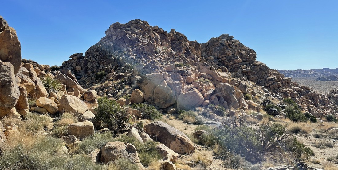
After gaining roughly 300 feet of elevation I can see the summit area of Vagmarken Hill... but I'm still uncertain where the actual summit is... but I will head over toward the bump on the left to see what I can find.
|

As I got closer to the bump I could see the cairn above... and knowing that the cairn wasn't on the high point, I assumed that it was telling me the route to use in order to reach the summit.
|
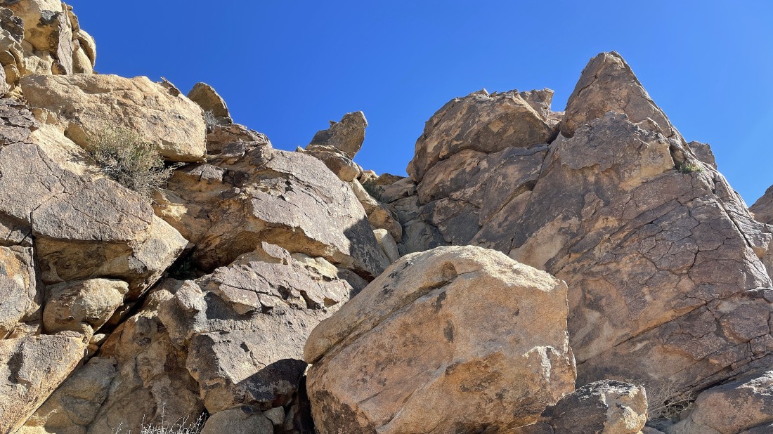
Okay... now it is time to head up toward the cairn which is on top of the finger sticking out above.
|
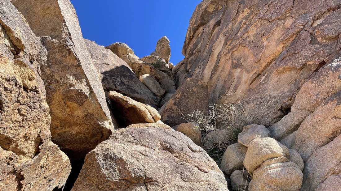
There was some Class 3/4 climbing in this gully... but it is definitely the best route to the summit.
|
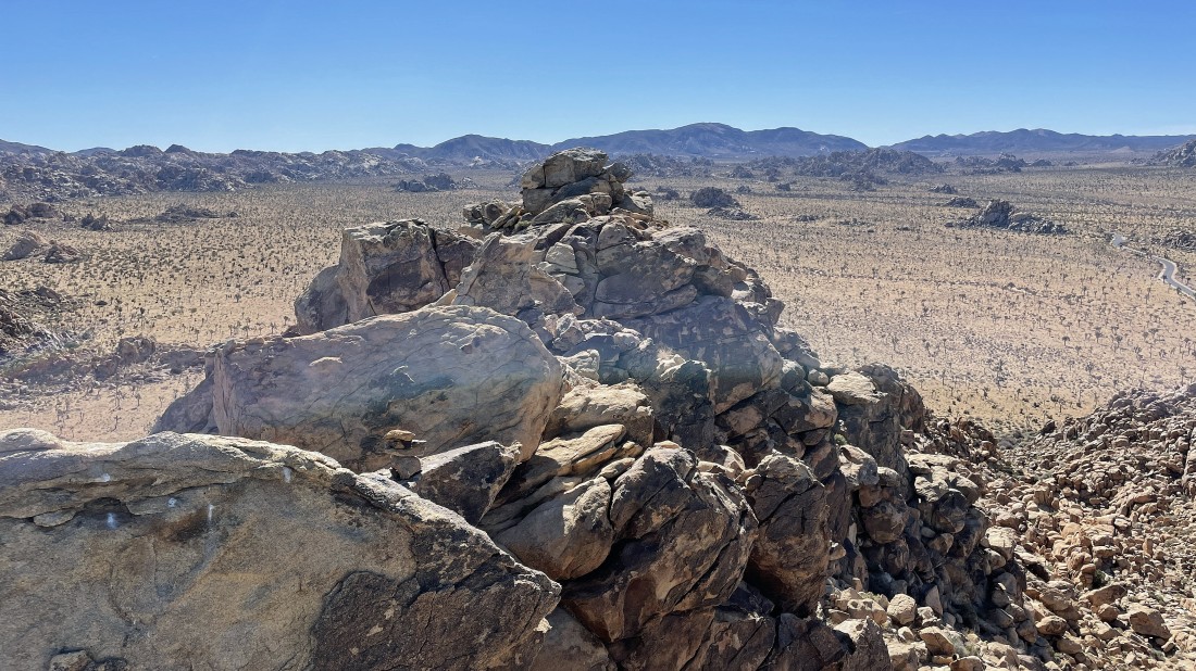
After a half-mile I'm on the summit (4349 feet) of Vagmarken Hill and looking SE... the very helpful cairn is in the foreground of the photo... with 'The Wonderland of Rocks' on the left horizon... and looking across Quail Springs and Hidden Valley to Ryan Mountain in the center horizon.
|
Looking SW from the Vagmarken Hill summit across Quail Springs to Lang Mine Peak, Mount Minerva Hoyt and Quail Mountain in the right center of the photo... and looking SE to the Lost Horse Mountain area on the left horizon.
|
|
Still on the Vagmarken Hill summit... here looking east beyond 'The Wonderland of Rocks' in the foreground to Queen Mountain on the horizon.
|
On my way back to the car now... here with a nice look at San Gorgonio Mountain on the center horizon.
|
Heading down now... here looking back at the summit of Vagmarken Hill.
|
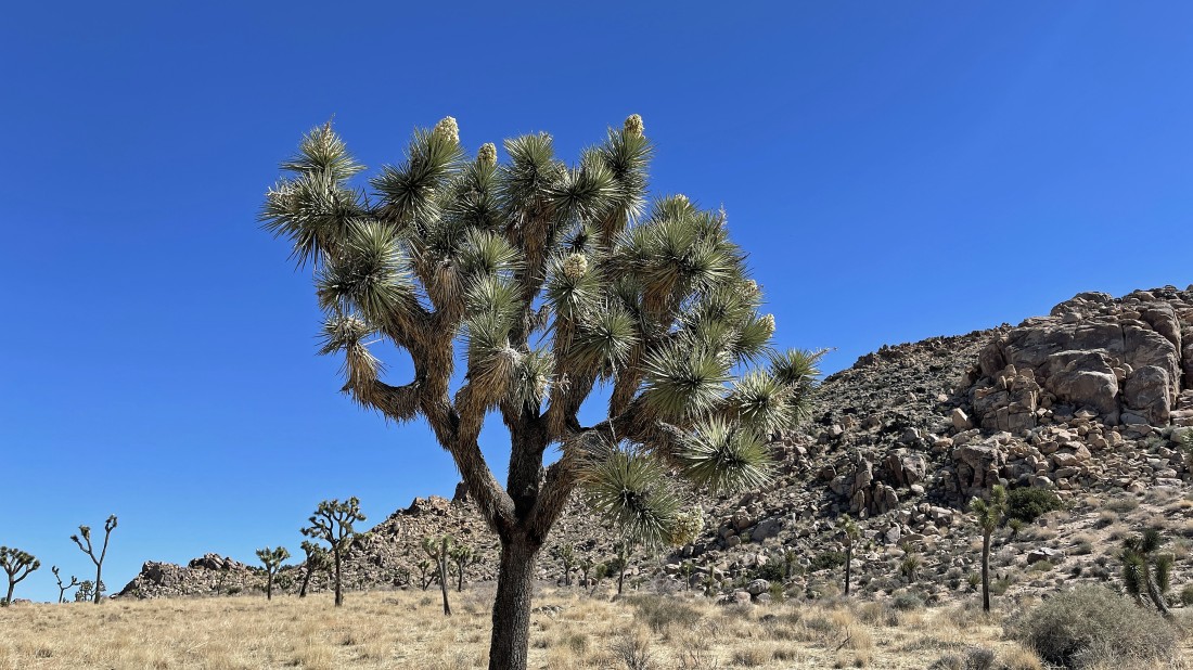
Back on the desert floor and enjoying one of many blooming joshua trees.
|
Almost back to the car... with Lang Mine Peak the little point on the horizon between the two joshua trees in the foreground... the total hike/scramble was one mile, gaining 396 feet of elevation.
|
