Valhalla Dome - 3.15.2022
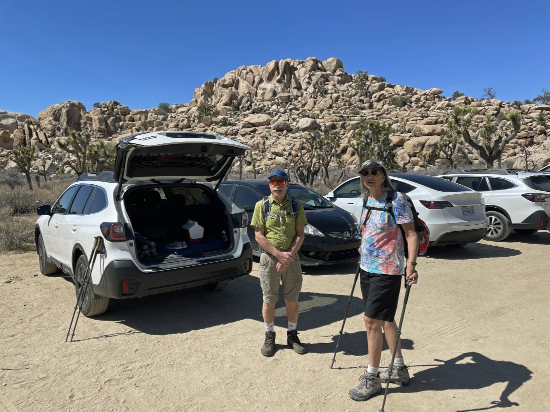
For this hike we would normally park at the paved Barker Dam parking lot... but today we got a late start and had to park at the unpaved parking lot for the Wall Street Mill Trailhead... located a quarter mile NE of the paved parking lot for the Barker Dam Trailhead.
|
Hiking back toward the paved Barker Dam parking lot after leaving the unpaved parking lot for the Wall Street Mill Trailhead.
|
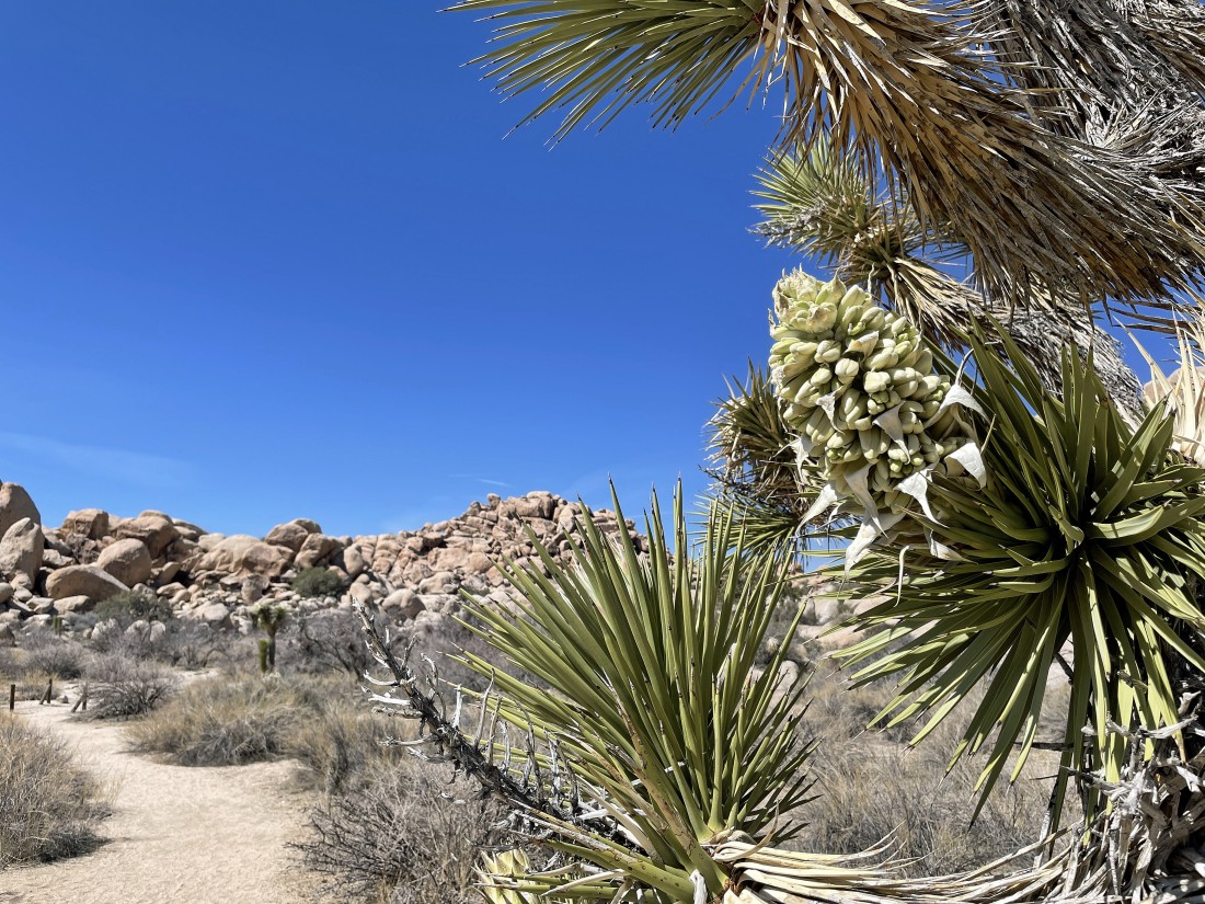
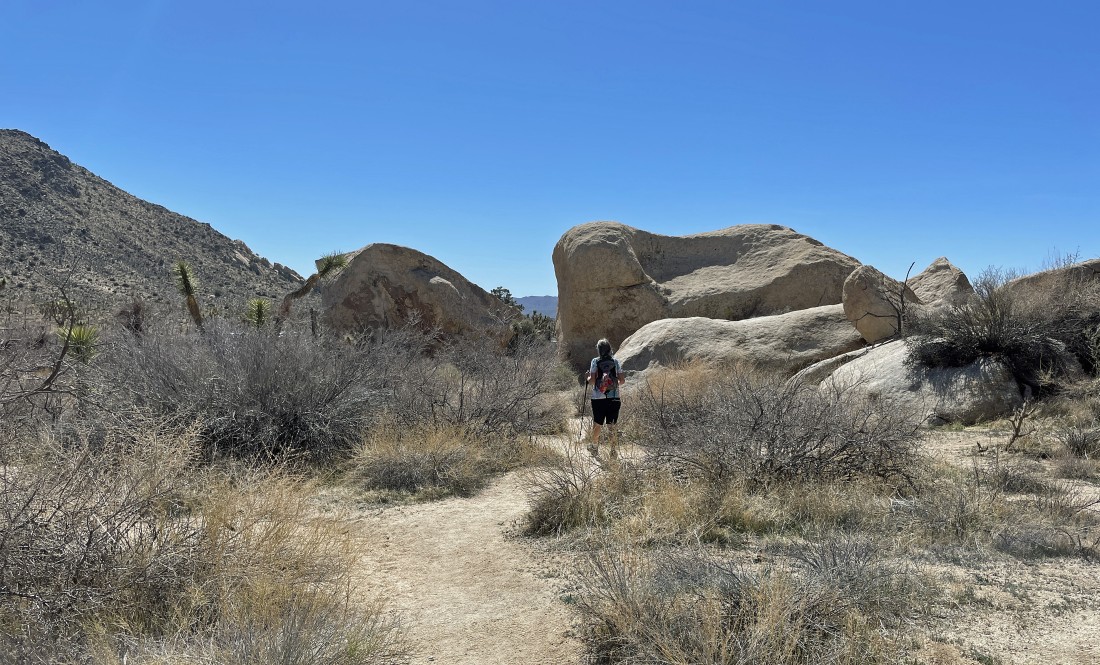
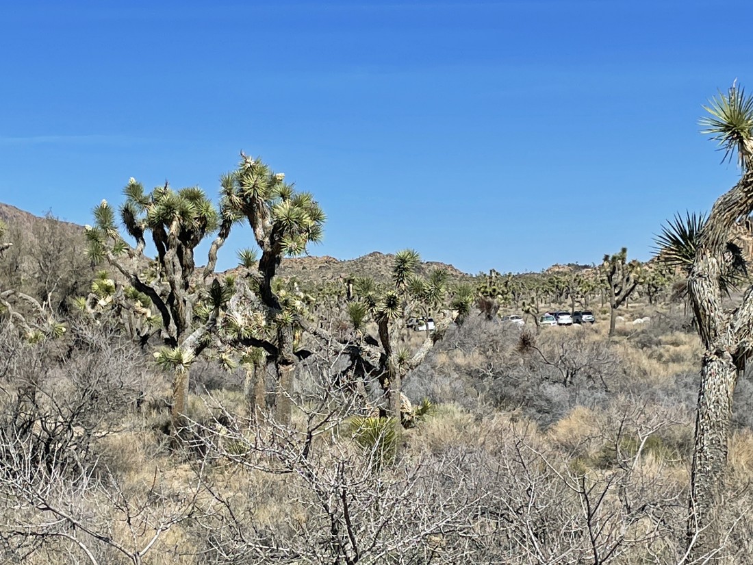
After hiking a quarter-mile we have arrived at the Barker Dam Trailhead... lots of the joshua trees are blooming!
|
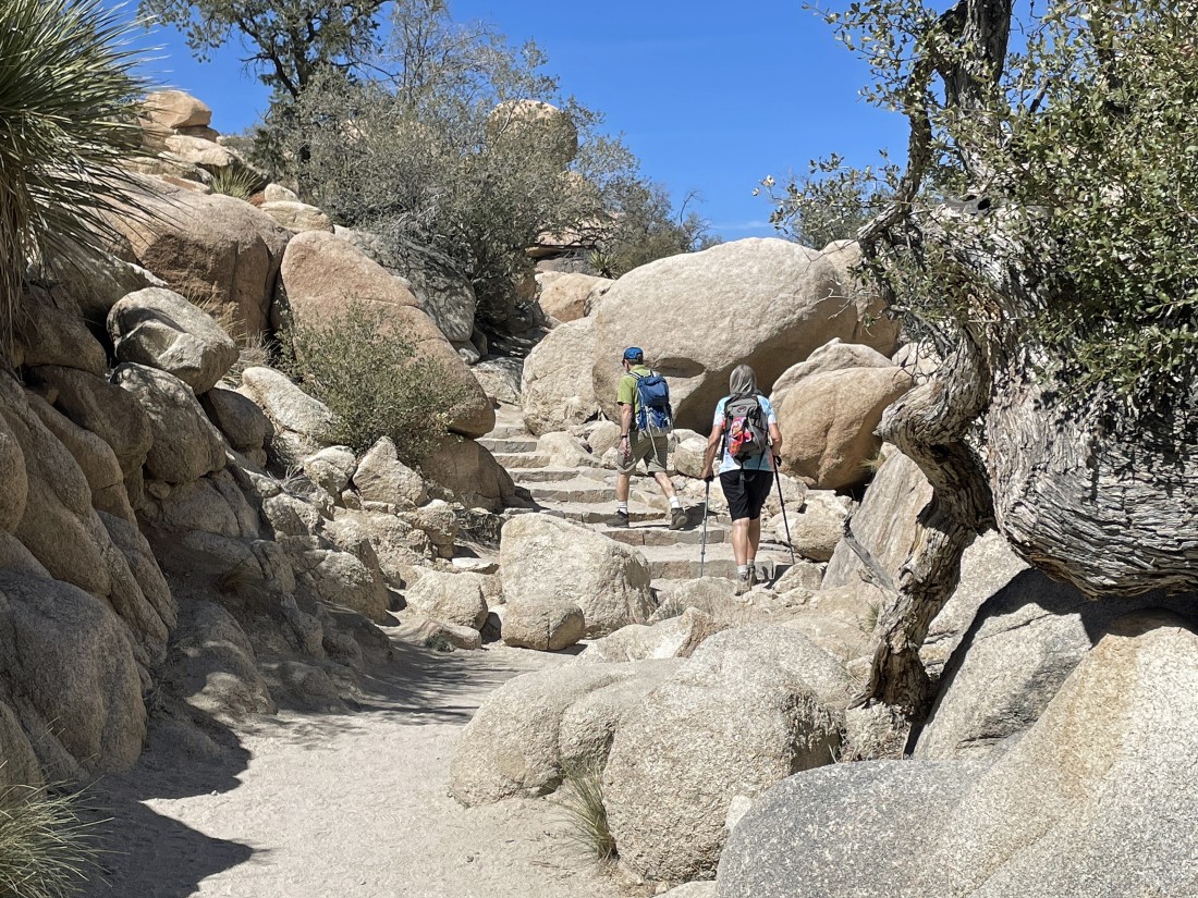
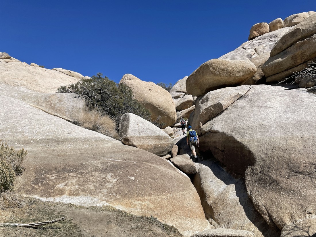
The entrance area to Barker Dam narrows fairly quickly... and nice steps help with the heavy traffic that the Barker Dam Loop hike gets every year.
|
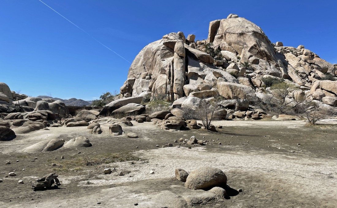
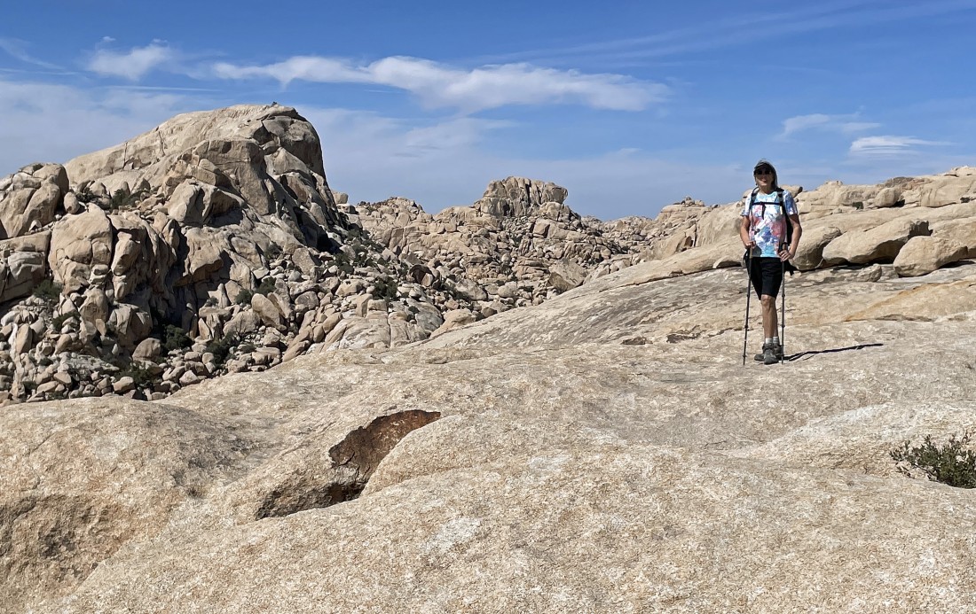
After hiking a total of two-thirds of a mile we have reached Barker Lake... but there is no water this year... and it has been a couple of years since we have seen any water here... Valhalla Dome is on the horizon directly above iraman.
|
Standing in Barker Lake... with Barker Dam over there on the left.
|
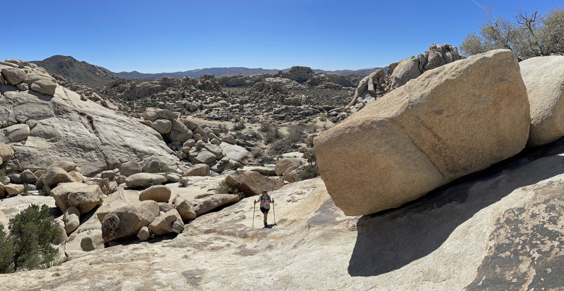
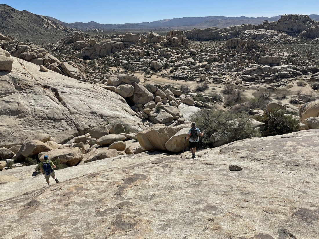
After hiking a total of three-quarters of a mile, we have left the lake area and are getting ready to scramble up toward the high point on Valhalla Dome... note the water mark on the rocks... if the lake was full, only iraman's head would be above water.
|
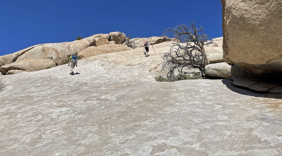
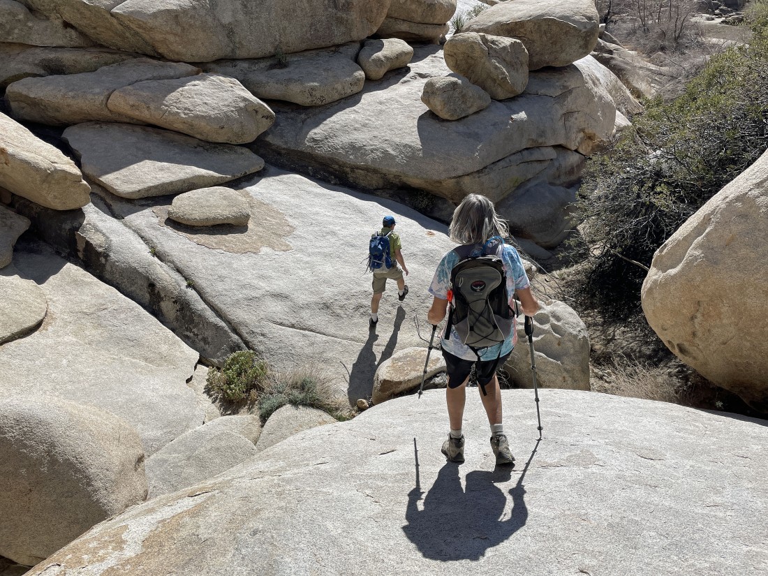
The terrain is steeper than it looks in the photo... but very sticky rock and little rock steps help a lot here... and this section just above the lake is the steepest terrain on the hike.
|
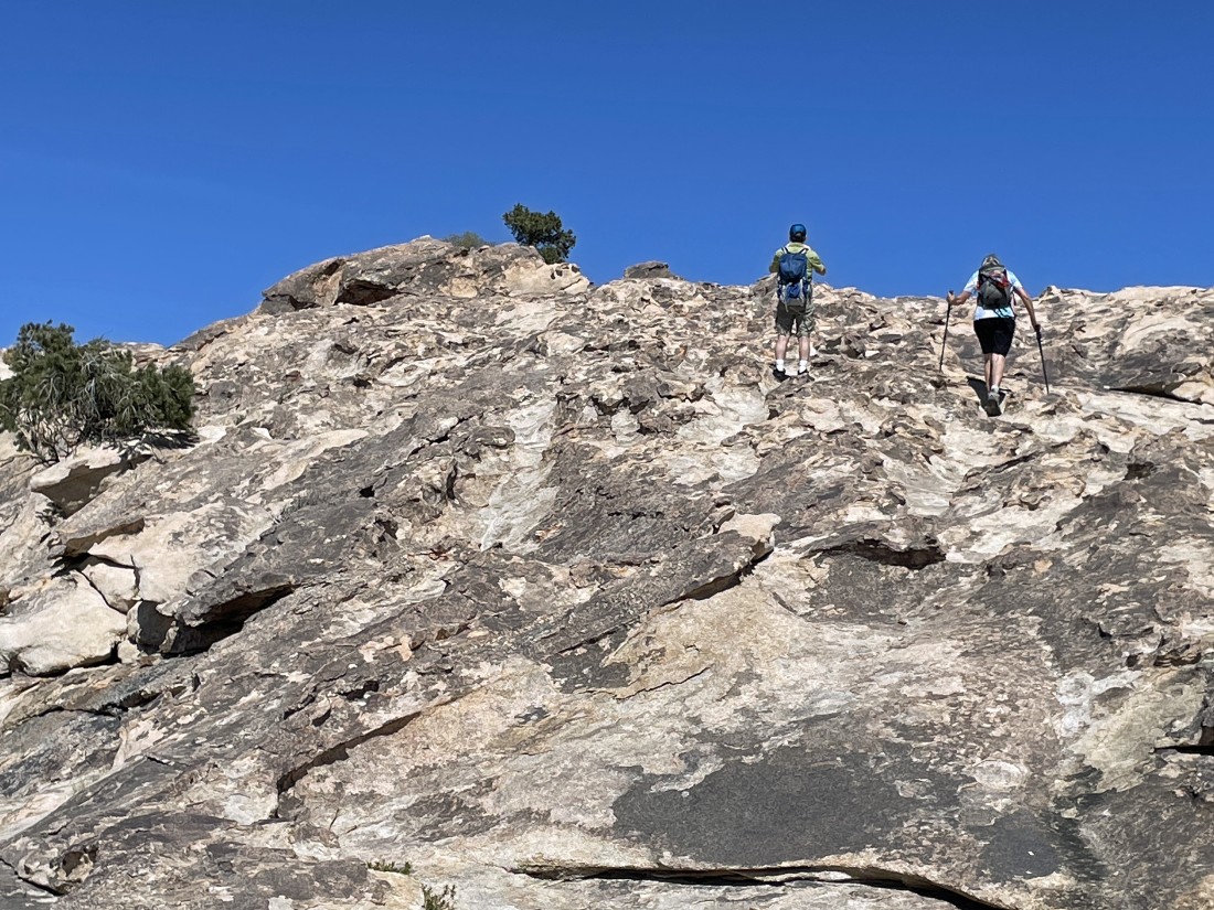
Denali Girl is almost done with the steep section... I'm looking back down at the 'dry' Barker Lake.
|
Denali Girl and iraman are getting close to the summit of Valhalla Dome... and the little pinyon pine that sits on the summit.
|
Picturesque erosion near the summit of Valhalla Dome.
|
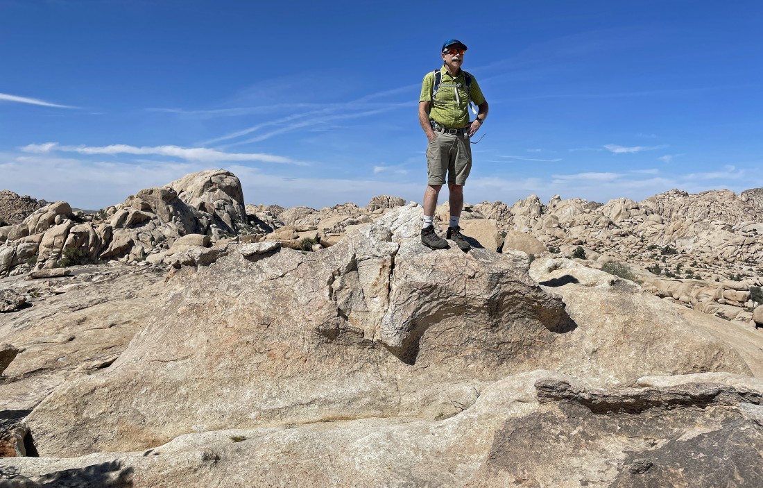
After hiking a total of one mile iraman is standing on the summit (4501') of Valhalla Dome... with the Astro Dome standing out in the distance on the left.
|
On the summit and looking NE across part of 'The Wonderland of Rocks' to Queen Mountain on the center horizon of the photo... with Queen Valley on the right.
|
On the summit... here looking west (left) to Quail Mountain (the high point in the park)... north (center) to the Astro Dome as we watch 'The Wonderland of Rocks' stretch for miles toward the northern border of JTNP.
|
A closer look at the Astro Dome in the left foreground... with 'The Camel' in the distance on the right.
|
|
On the summit... with Queen Valley and part of Queen Mountain on the left... Ryan Mountain would be in the center of the photo, but it is blocked by some of the foothills... and Lost Horse Valley on the far right.
|
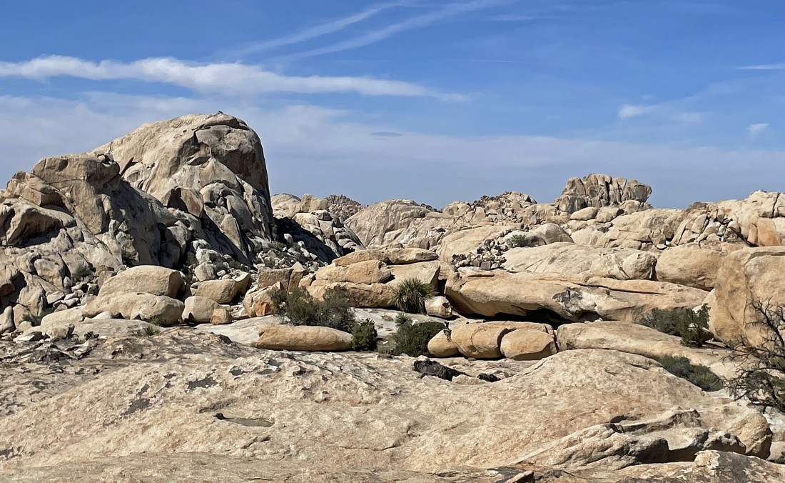
We have left the summit area of Valhalla Dome... but there is plenty of areas to explore on the dome.
|
Exploring Valhalla Dome... iraman on the far right puts things in perspective.
|
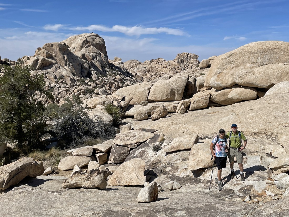
Left to right... the Astro Dome, the Camel and Denali Girl.
|
Roaming around on some of the rock formations here... looking down at the dried up Barker Lake area.
|
Back on the steep terrain as we trace our steps back down toward Barker Lake.
|
Almost back to the lake.
|
After hiking a total of 1.4 miles we are back down to the dried up lake and heading for our car.
|
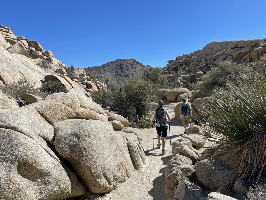
Back in the narrow passage that leads out of the Barker Dam area as we trace our steps back to the car.
|
Nearing the unpaved parking lot for the Wall Street Mill... the total hike was 2.2 miles, gaining 307 feet of elevation.
|
