Crown Prince and Point 4558 - 3.22.2022
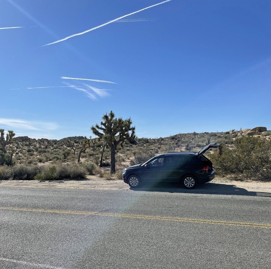
We parked on the side of Park Blvd approximately a quarter-mile SW of the entrance to Jumbo Rocks Campground in Joshua Tree National Park.
|
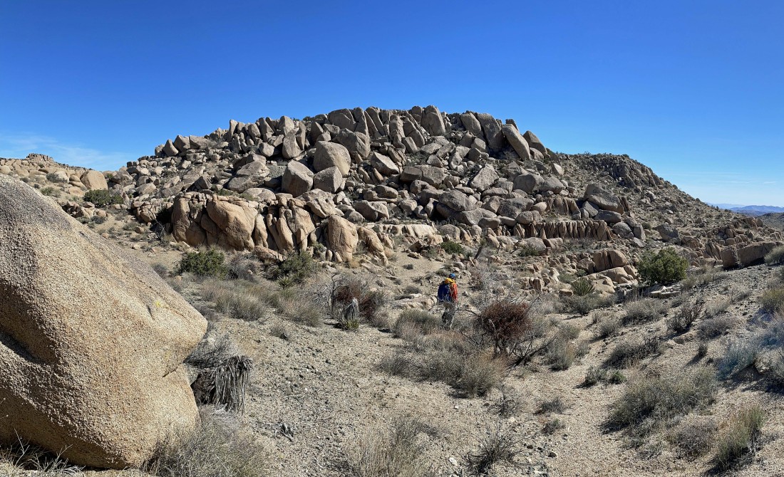
Hiking SE from where we parked... and it doesn't take very long to see Crown Prince... the rock formation on the horizon in the center of the photo... and we will get to it after only hiking one mile.
|
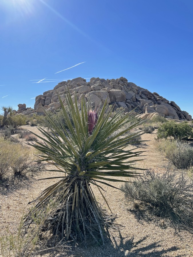
A nice bloom on this Yucca plant... with the Crown Prince in the distance... and yes, it is a plant and not a cactus.
|
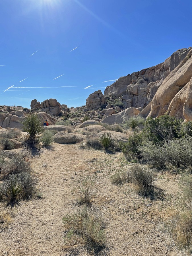
We are on the NE side of Crown Prince looking for a good place to get up to the top.
|

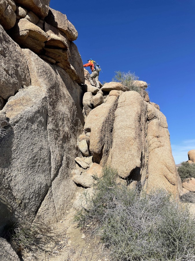
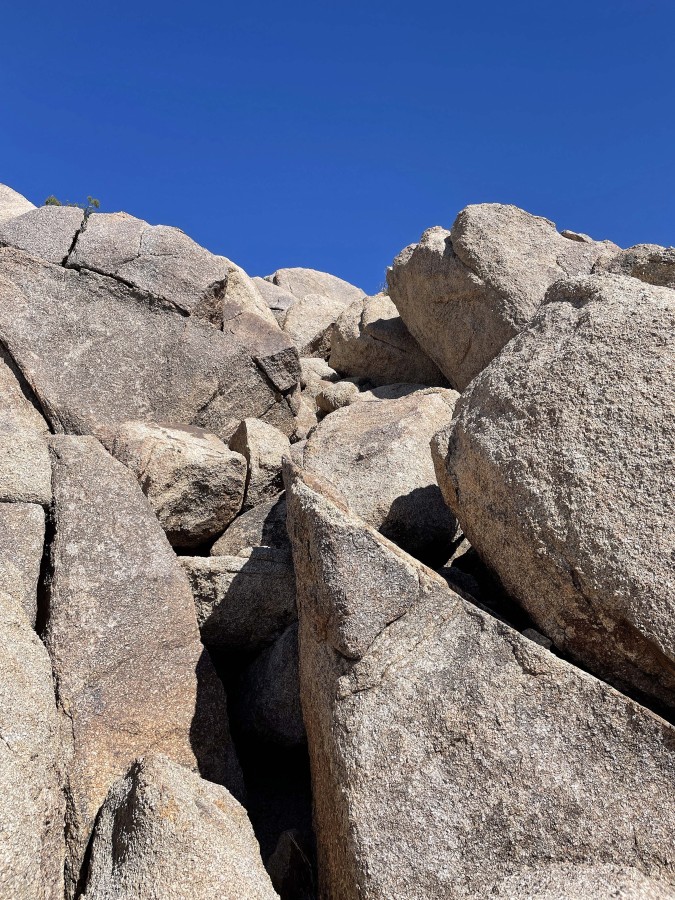
Still looking for a route to get up to the top of Crown Prince... back in the 1940's and 1950's there was a wooden staircase that helped a person get up to the top.
|

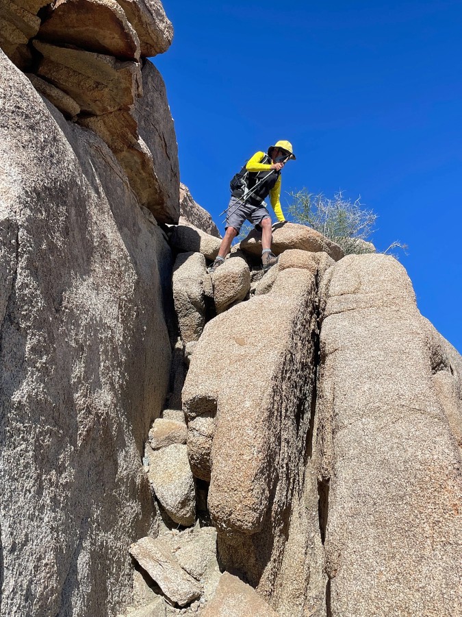
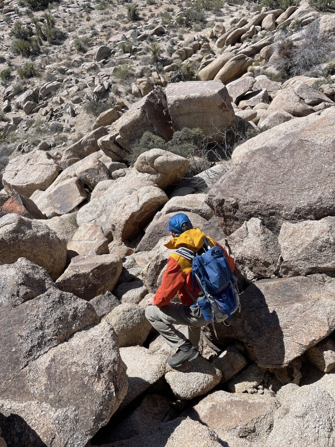
iraman begins the scramble portion of this hike... starting up where the wooden staircase used to be.
|
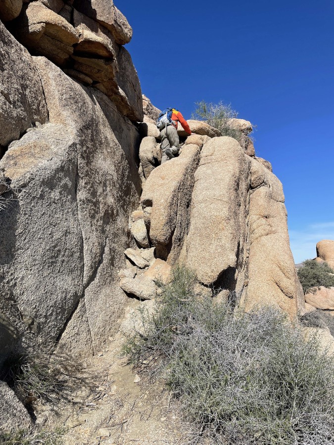
iraman scrambling up.
|
Done with the scramble portion of the hike to Crown Prince.
|
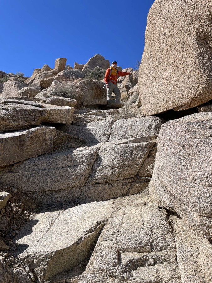
There were a few nice rock steps.
|
iraman looks out toward the summit of Crown Prince... with Lost Horse Mountain and the Little San Bernardino Mountains on the left horizon... with Queen Mountain on the right horizon.
|
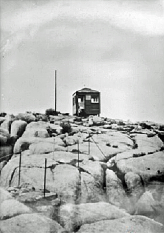
The 10 foot square Crown Prince Lookout was constructed in February, 1943... and was destroyed in 1961 by vandals.
|
After hiking a total of 1.1 miles we are on the Crown Prince summit (4581')... here looking NW beyond the Jumbo Rocks area to Queen Mountain on the left horizon... the mountains on the right-center horizon are parts of the Pinto Mountains and Twentynine Palms Mountains that are outside the boundary of Joshua Tree National Park.
|
On the summit looking east toward the Pinto Mountains on the left... and south to Pinto Basin and the Hexie Mountains in the center of the photo.
|
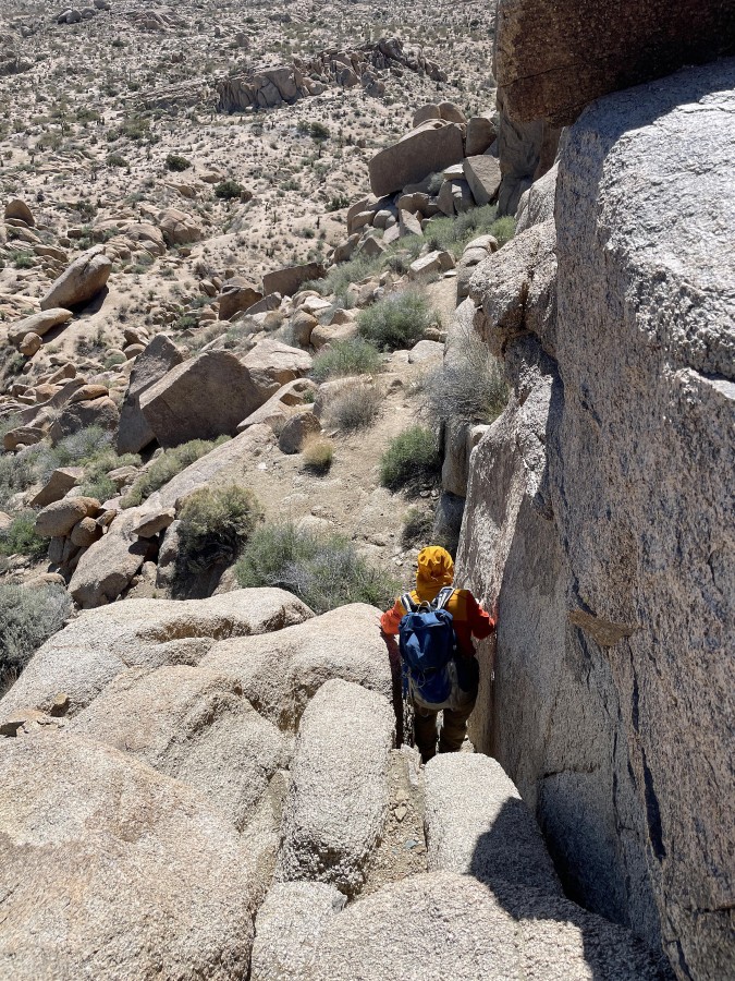
iraman heads down from Crown Prince where the wooden staircase used to be.
|
iraman took this photo of me coming down what used to be a wooden staircase.
|
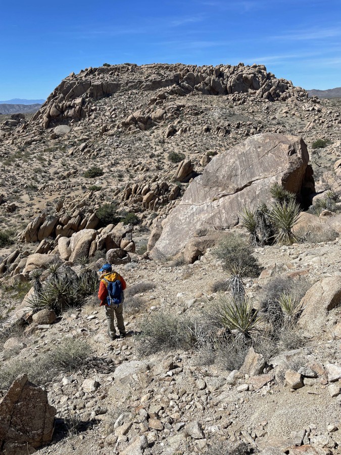
Back down on the desert floor and heading for point 4558... we will head up to the little plateau on the far right of the rock formation.
|
Heading for the plateau up there on the right.
|
We are on the little plateau on the SE side of Point 4558... now we will do a little scrambling to get up on top of Point 4558.
|
Scrambling up to the top of Point 4558.
|
Very near the summit of Point 4558.
|

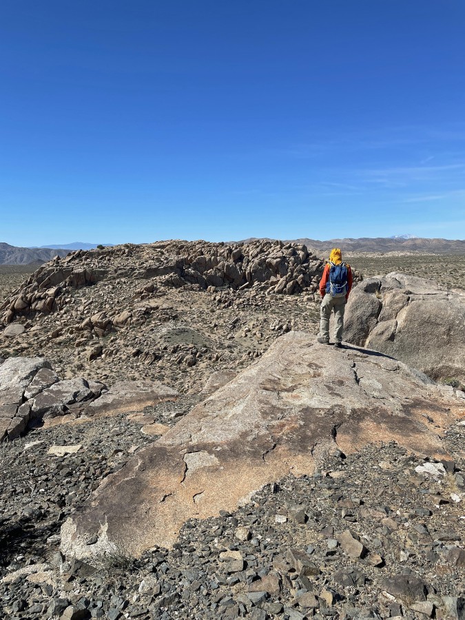
After hiking a total of 1.5 miles we are on the summit of Point 4558... iraman is standing on the other side of the little labyrinth... and yes, the wind is trying to blow his jacket away!
|
On the summit of Point 4558 and looking NW at Queen Mountain on the horizon.
|
iraman is looking SW at Crown Prince where we were earlier.
|
On the summit of Point 4558... looking SE toward Pinto Basin in the left center of the photo... south to the Hexie Mountains in the center of the photo... with Ryan Mountain in the right center of the photo.
|
Tracing our steps back down to the little plateau on the SE side of Point 4558.
|
On the little plateau... where we will trace our steps back down to the desert floor... Crown Prince is over there on the horizon.
|

Back on the desert floor... we will head over to the abandoned mining operation above iraman's head... but all we found were some tailings... with no visible mine shaft.
|
We found a very large labyrinth on the NW side of Point 4558... with Crown Prince on the right.
|
Heading back to the car... here hiking on some very interesting terrain.
|
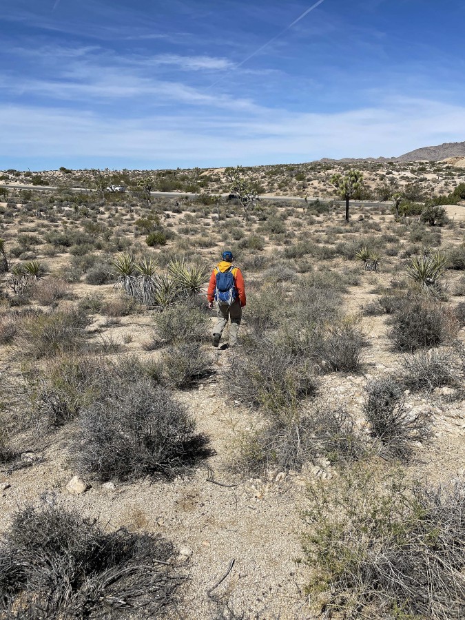
Almost back to the car... the total hike was 3 miles, gaining 500 feet of elevation.
|
