Mount Bailey - 7.21.2022
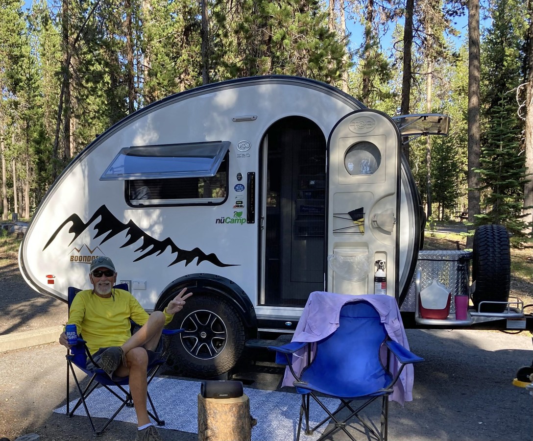
We camped in our teardrop trailer at the Broken Arrow Campground... located at the south end of Diamond Lake... several miles north of Crater Lake National Park.
|
Mount Bailey from the east side of Diamond Lake... we will hike in the trees on Bailey's SE ridge (left)... then come out of the trees and connect with Bailey's south ridge and follow it from left to right to the summit.
|
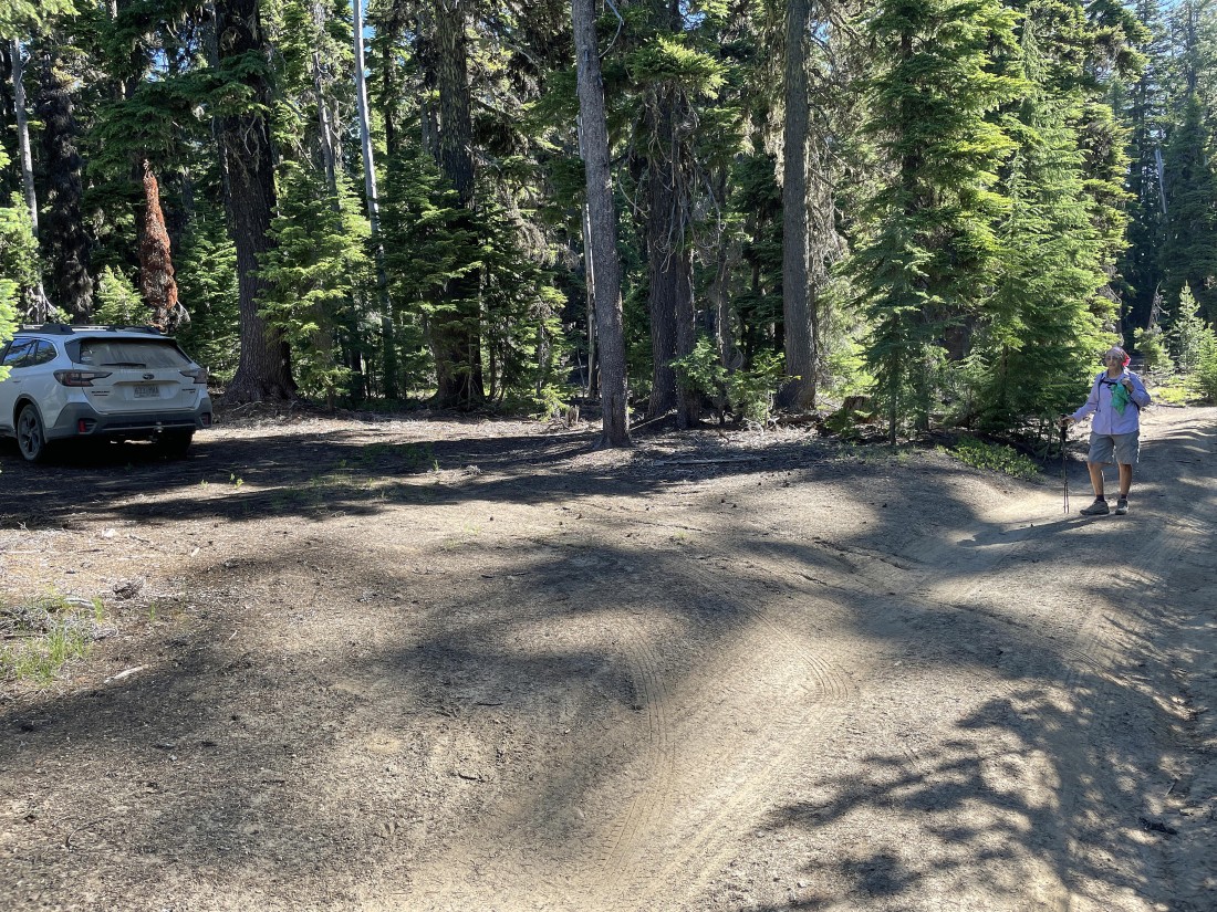
The official trailhead for Mt. Bailey is Trail #1451... located just off of Road 4795-300... however, we chose to save 4.4 miles of hiking and 800 feet of elevation gain by continuing to drive Road 4795-300 for another 2.5 miles beyond the trailhead... then turned right onto Road 4795-380 and drove it for 1.4 miles... then parked on the side of the road where the official trail crosses Road 4795-380... I recommend that you have a high clearance vehicle if you choose to drive beyond the official trailhead.
|
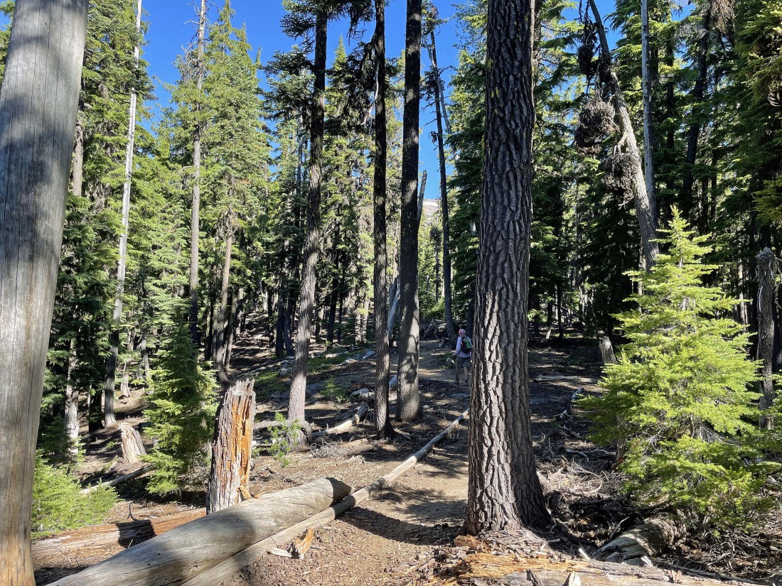
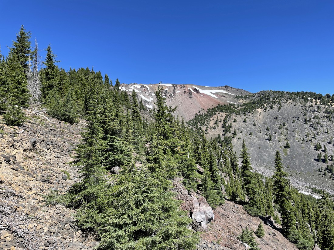
The first 1.5 miles (3.7 miles if you started at the official trailhead) are in the trees... we can see a small piece of the summit area up there in the center of the photo.
|

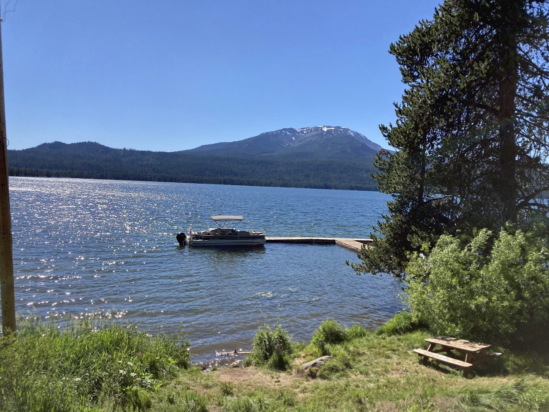
Occasionally we got a peek-a-boo view of Mount Thielsen on the other side of Diamond Lake.
|
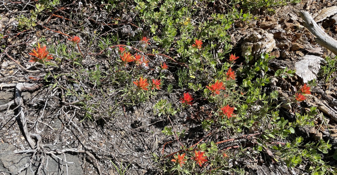
Always nice to see some Indian Paintbrush.
|
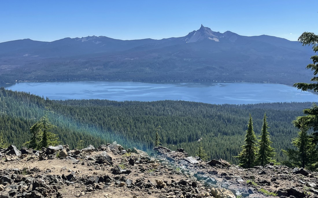
Views open up after hiking a couple of miles... here looking east across Diamond Lake at Mount Thielsen on the right and Howlock Mountain on the left.
|
The Mount Bailey summit is up there somewhere.
|
Pretty much out of the trees after hiking 2 miles (4.2 miles if you started from the official trailhead)... with Diamond Lake and Mt. Thielsen on the left... and Mt. Scott and the Crater Lake Peaks on the right.
|
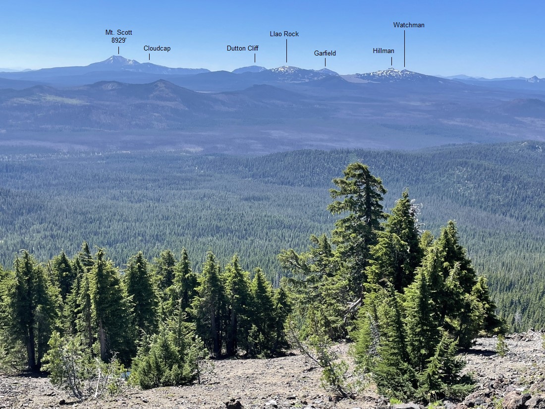
Looking south... with a closer look at Mt. Scott and the peaks that are on the rim of Crater Lake.
|
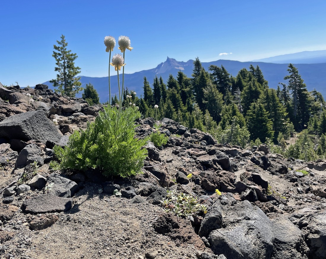
Continuing to gain elevation on the Mt. Bailey Trail... with lots of Western Anemones in this area.
|

This Western Anemone has not given up yet... like those in the previous photo... nicknames for this flower include 'mop-tops', 'tow-headed babies', 'hippy heads' and 'mouse on a stick'.
|
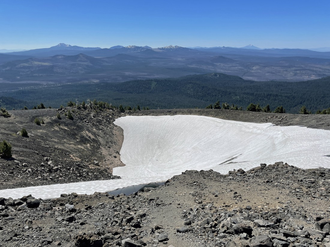
After hiking a total of 2.5 miles (4.7 miles if you started from the official trailhead) we have connected with Bailey's south ridge... where a good sized crater is located.
|
We have hiked around the crater at the end of Bailey's south ridge... here looking south at Mt. Scott and the Crater Lake Peaks on the left and middle... with Mt. McLoughlin on the right horizon.
|
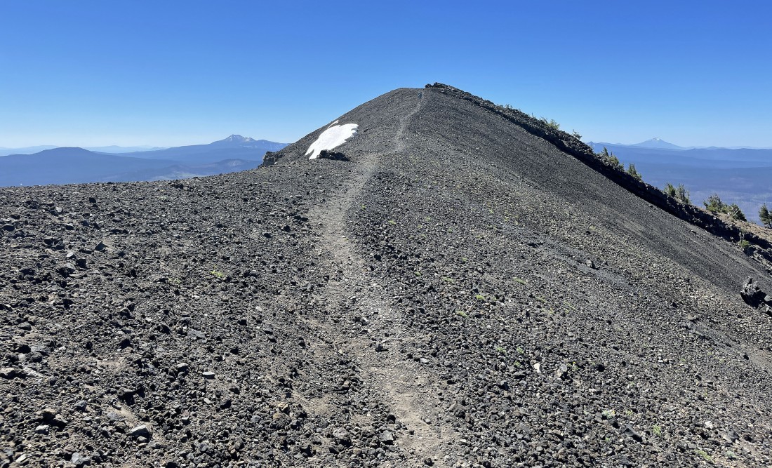
After hiking a total of 2.7 miles (4.9 miles if you started from the official trailhead) we are at 8100 feet... and we got our first really good view of the Mount Bailey summit... with Howlock and Thielsen on the other side of Diamond Lake.
|

Continuing along Bailey's south ridge... where we will follow a good path that goes along the left (west) side of these gnarly rock formations.
|
Looking back as Denali Girl comes along Bailey's south ridge to join me at the gnarly rock formations... Mount Scott is on the left horizon... and Mount McLoughlin is on the right horizon.
|
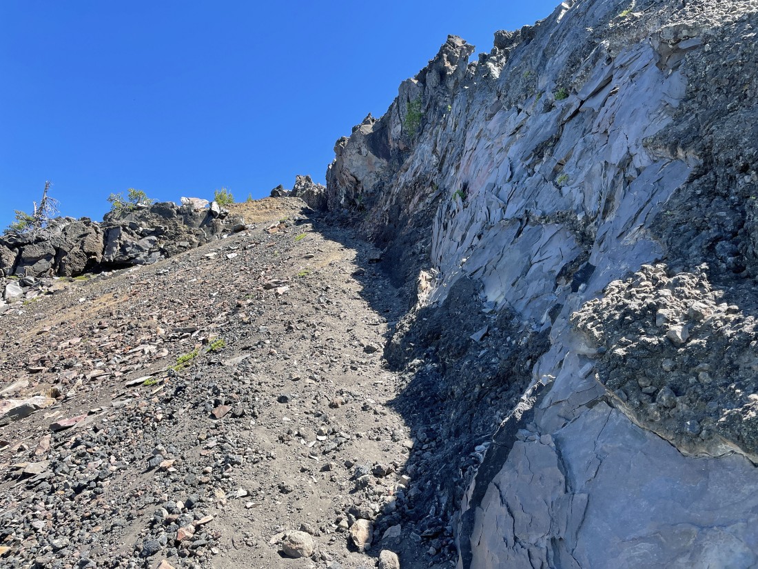
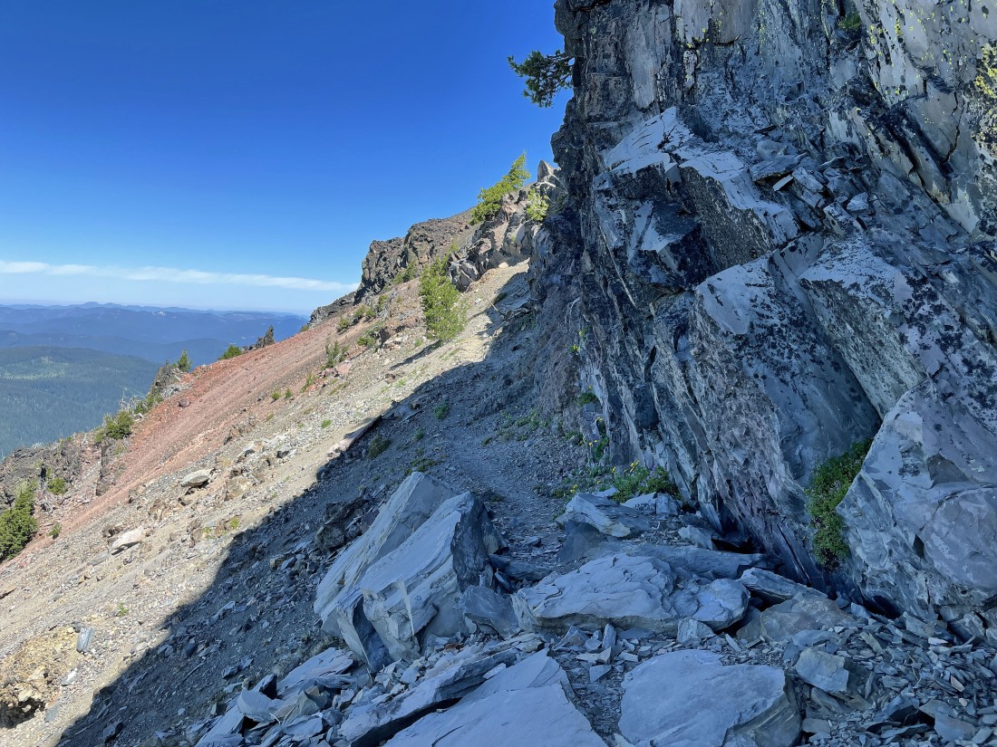
There are a few ups and downs as we continue along the west side of the gnarly rock formations on the south ridge of Mt. Bailey.
|
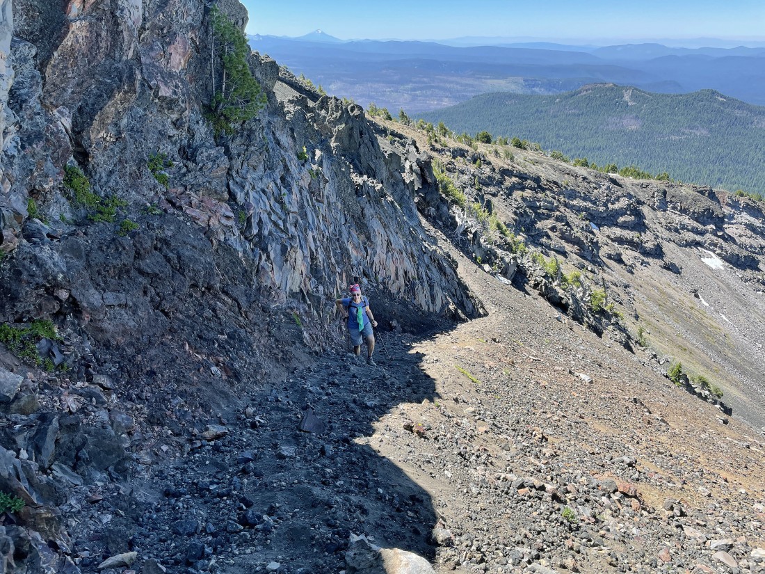
Denali Girl works her way along the west side of the gnarly rock formations on Bailey's south ridge.
|
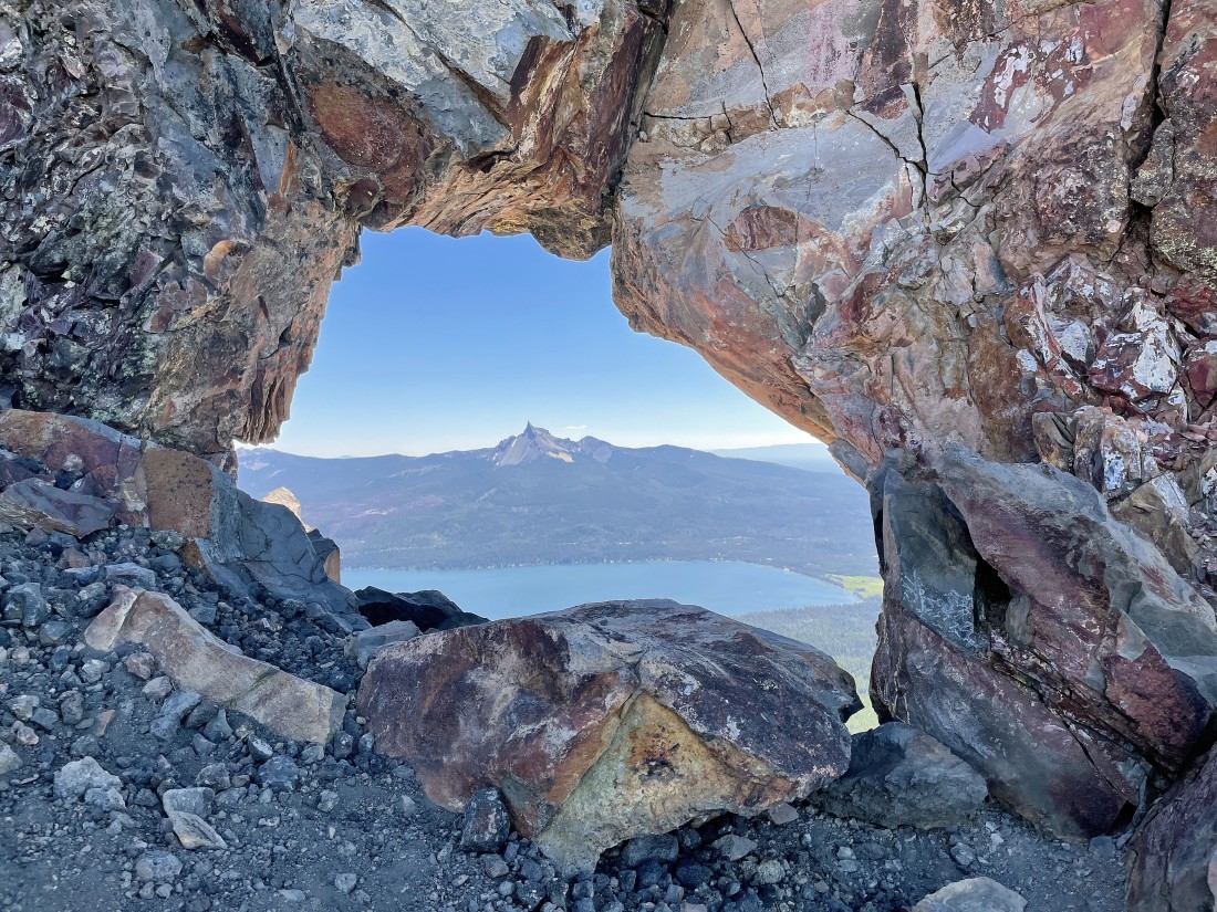
Whoa baby!... we didn't see this coming... an incredible window in the gnarly rock formations... framing Diamond Lake and Mount Thielsen.
|

Continuing to gain elevation on Bailey's south ridge.
|
Continuing to gain elevation on Bailey's south ridge.
|
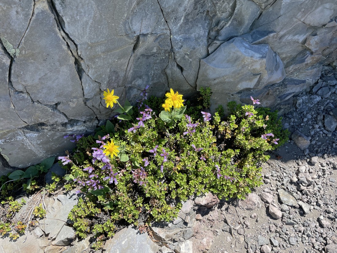
Some sunflowers and penstemon along the trail on the west side of the gnarly rock formations.
|
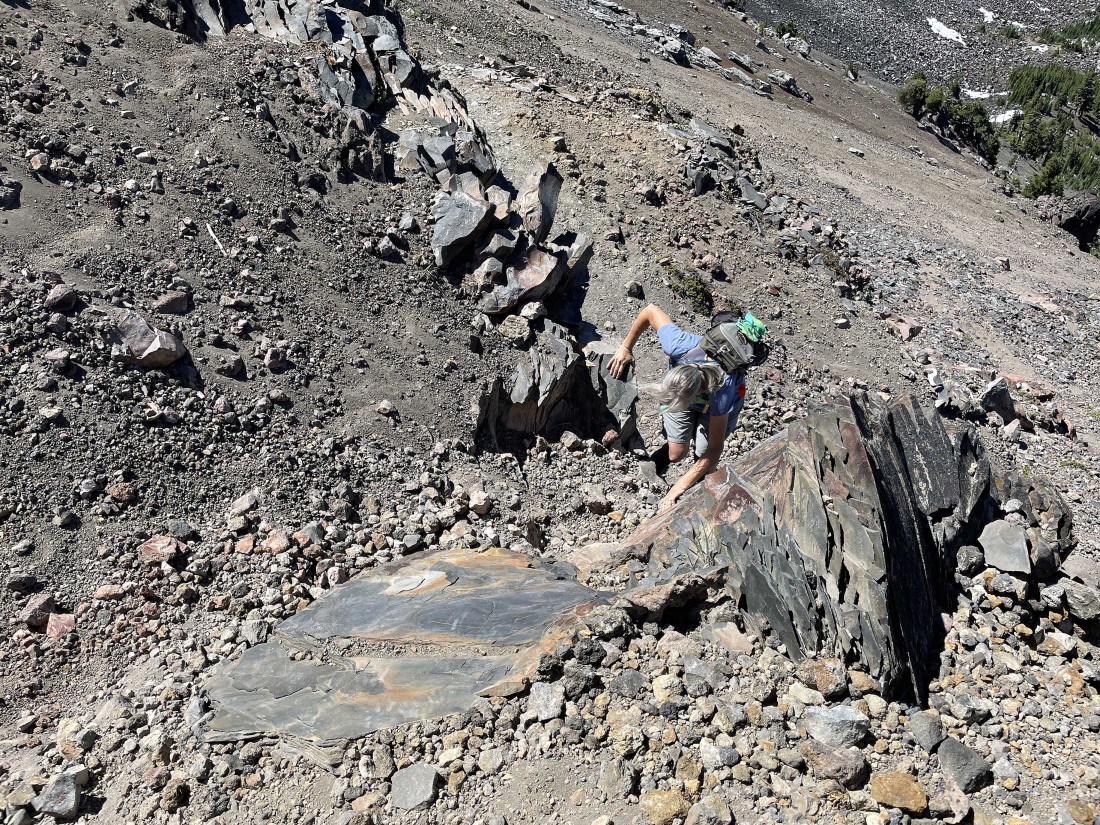
Denali Girl deals with the crux section of the hike... an extremely short Class 3 section.
|
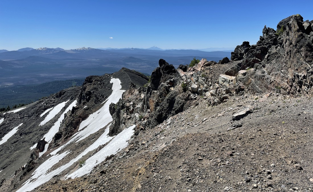
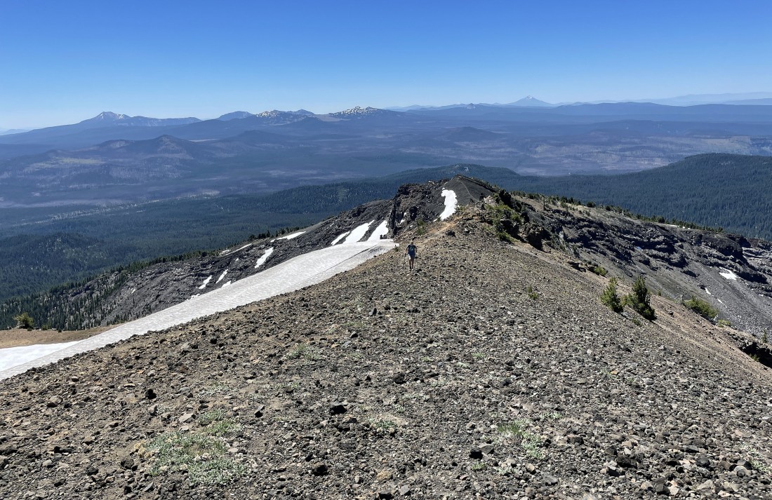
We have made it past the gnarly rock formations on Bailey's south ridge... here looking back to the south at most of Bailey's south ridge... with Mount Scott, the Crater Lake Peaks and Mount McLoughlin on the horizon.
|
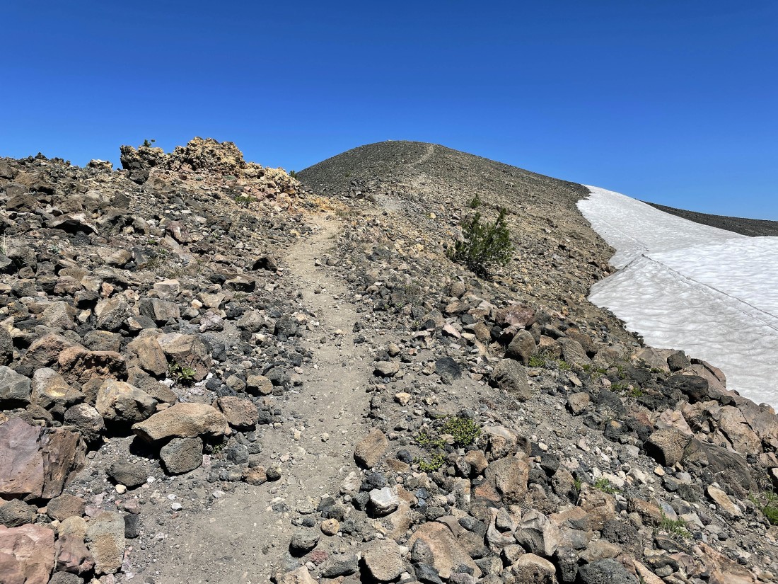
Continuing to hike north on Bailey's south ridge... only a stone's throw from the Bailey summit.
|
After hiking a total of 3.1 miles (5.3 miles if you started from the official trailhead) I'm on the Mount Bailey summit (8368')... here looking south and watching Denali Girl handle the last few feet of elevation gain.
|
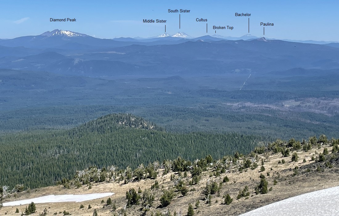
Looking north from the summit of Mount Bailey.
|
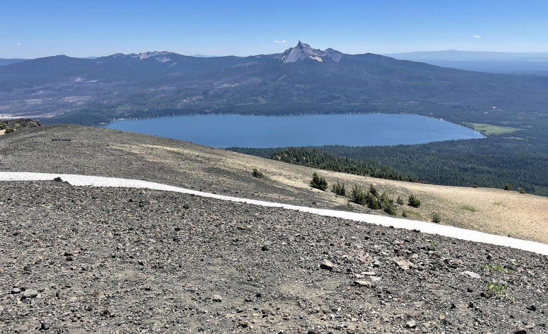
Looking east from the Mount Bailey summit at Diamond Lake... with Howlock Mountain on the left horizon and Mount Thielsen on the right horizon.
|
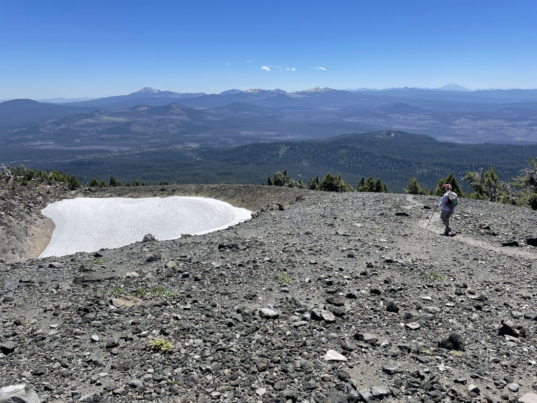
We are tracing our steps back to the car... here passing by the crater at the end of Bailey's south ridge... our hike was a total of 6.2 miles, gaining 2340 feet of elevation... if you do this hike from the official trailhead, the hike will be a total of 10.6 miles, gaining 3140 feet of elevation.
|
