Broken Top South Peak - 7.25.2022
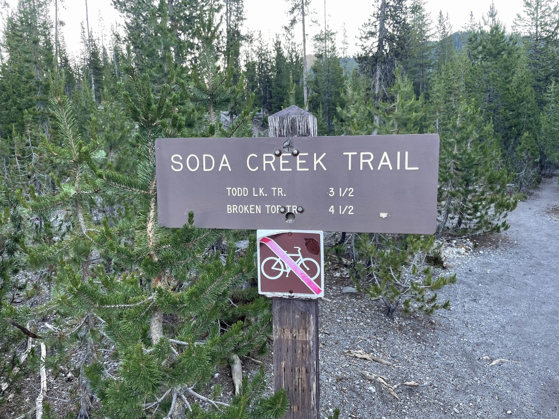
I started hiking on Soda Creek Trail #11... this trailhead begins from the shared parking lot with the much more popular Green Lakes Trail #17.
|
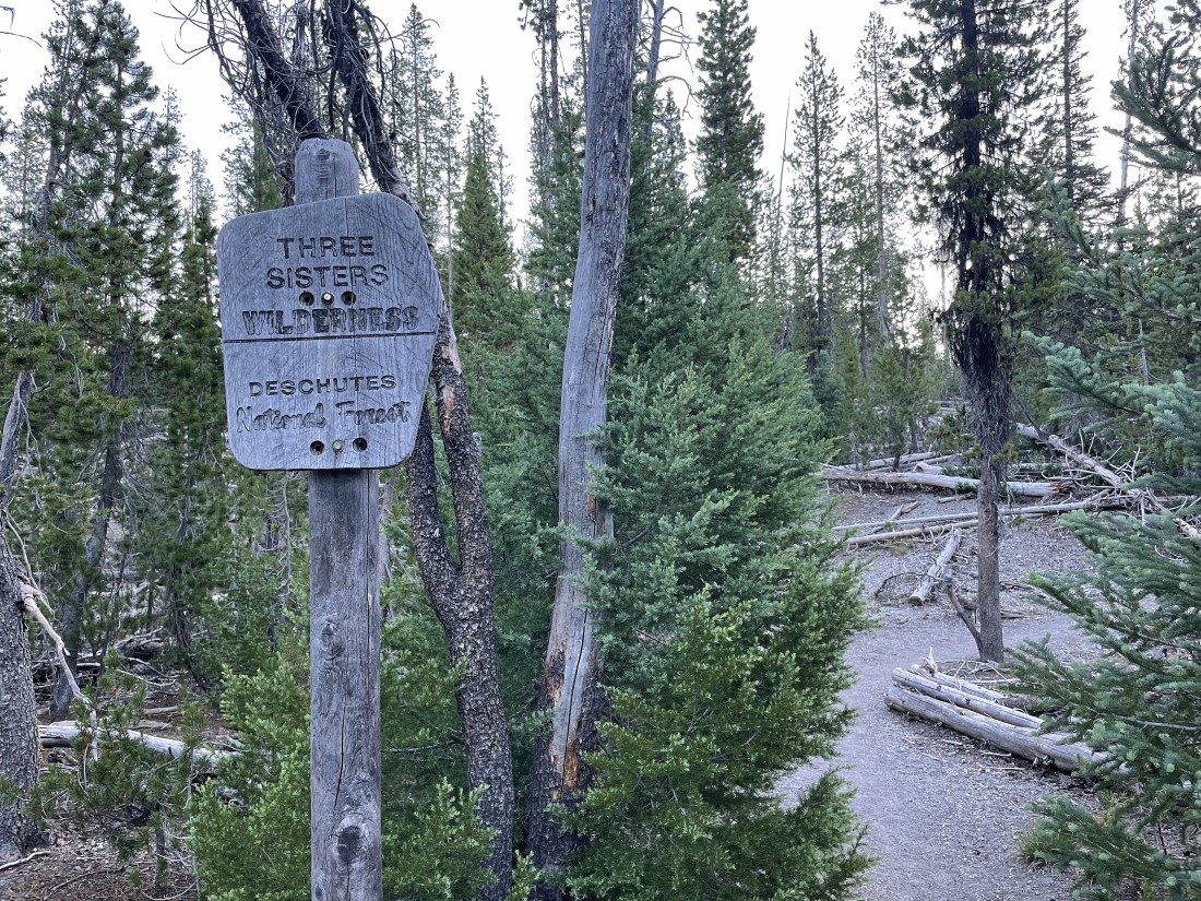
After hiking for less than a quarter mile I am entering Three Sisters Wilderness.
|
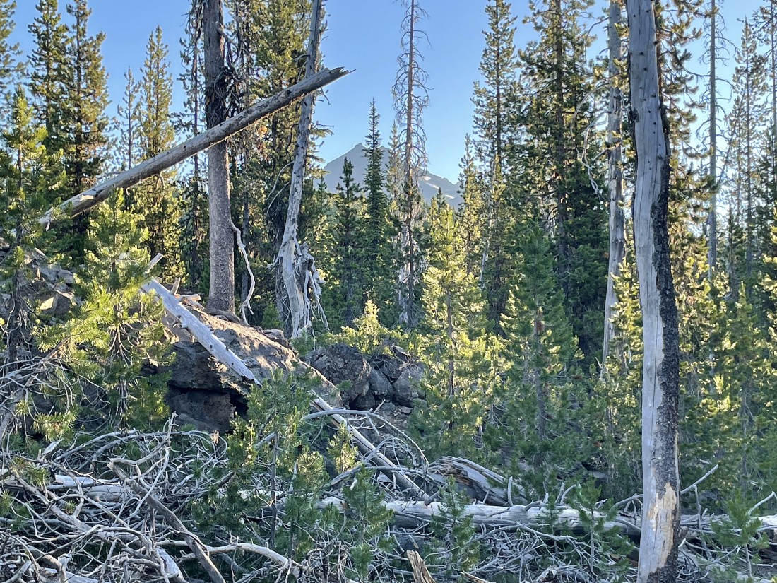
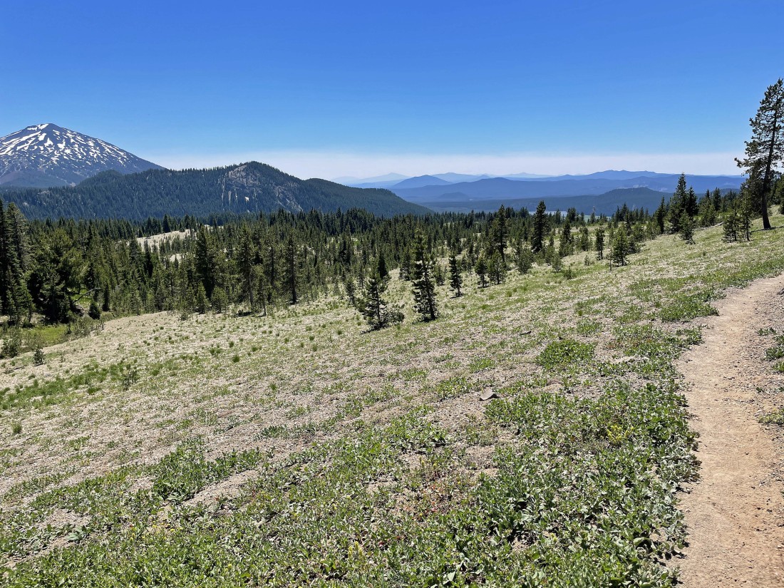
Continuing to hike on the Soda Creek Trail... with occasional peek-a-boo views of Broken Top.
|
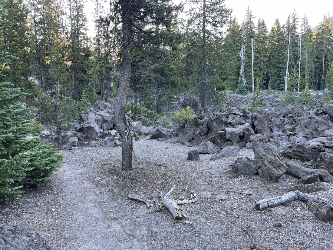
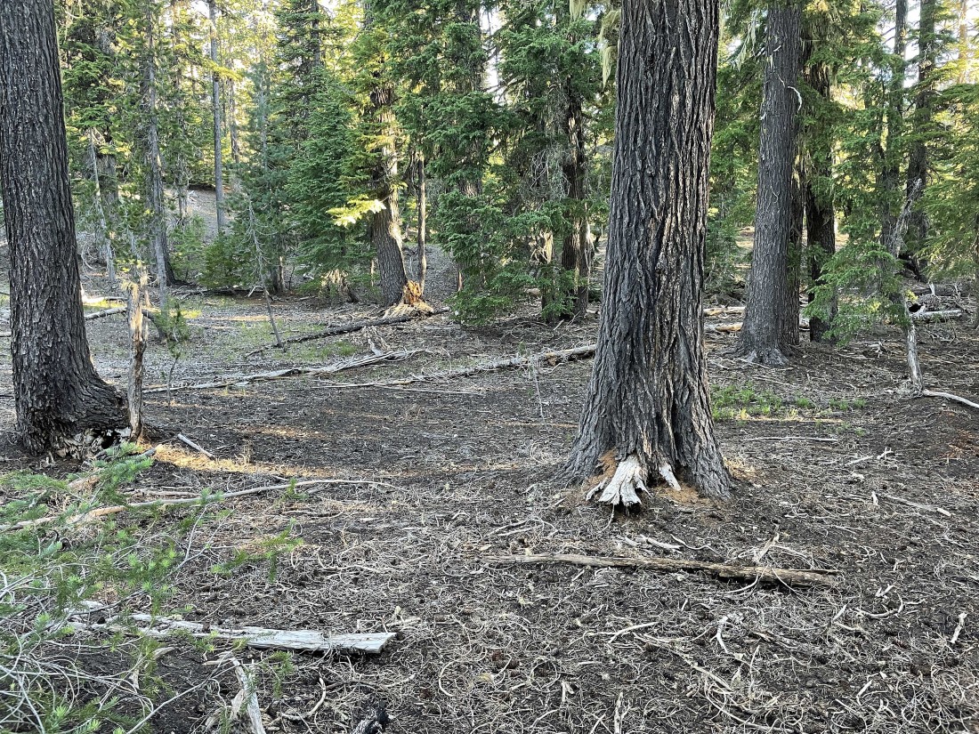
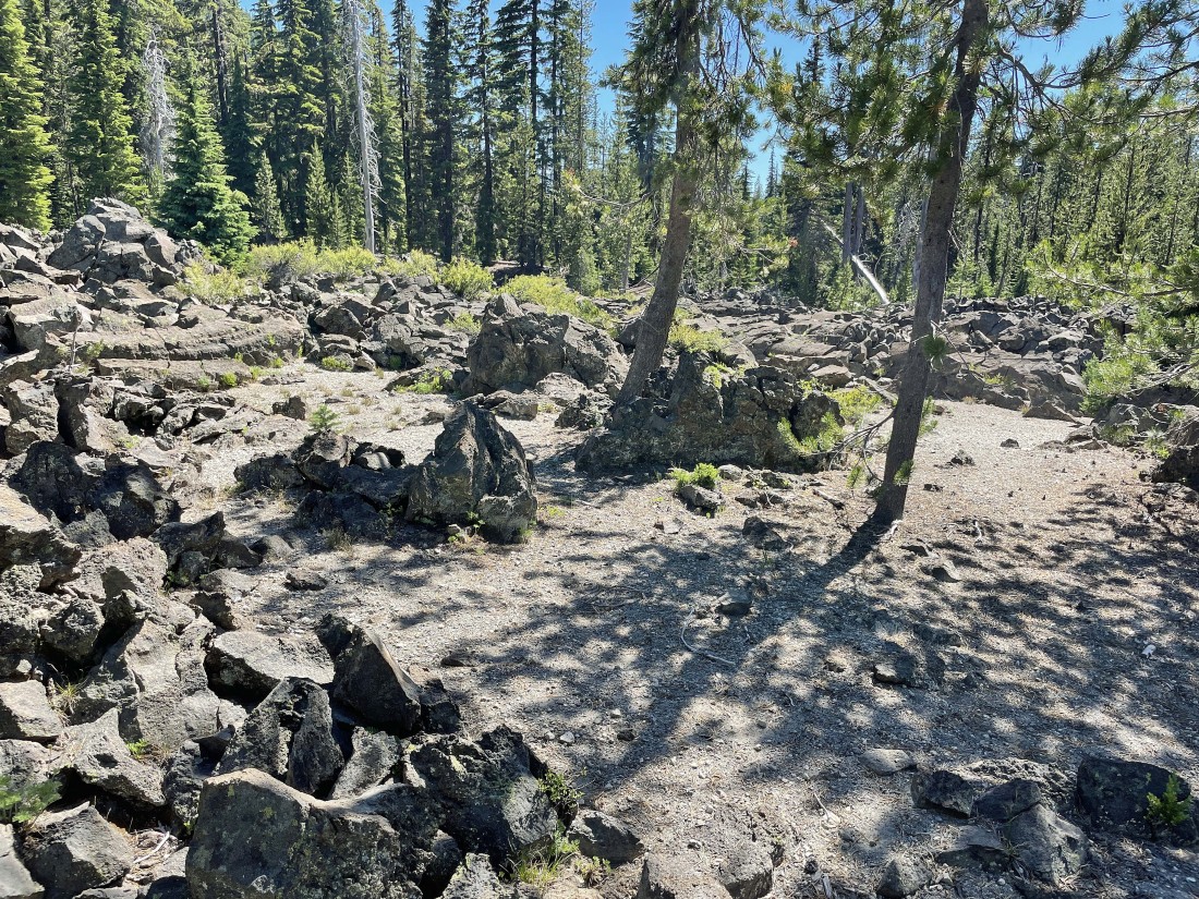
After hiking a total of 1.4 miles I found this large area of unusual rocks... and this is where I'm looking for a good place to leave the trail and head cross country toward Broken Top.
|
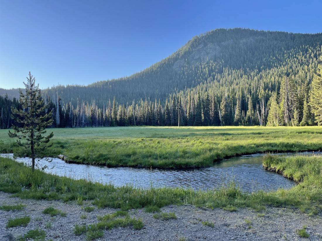
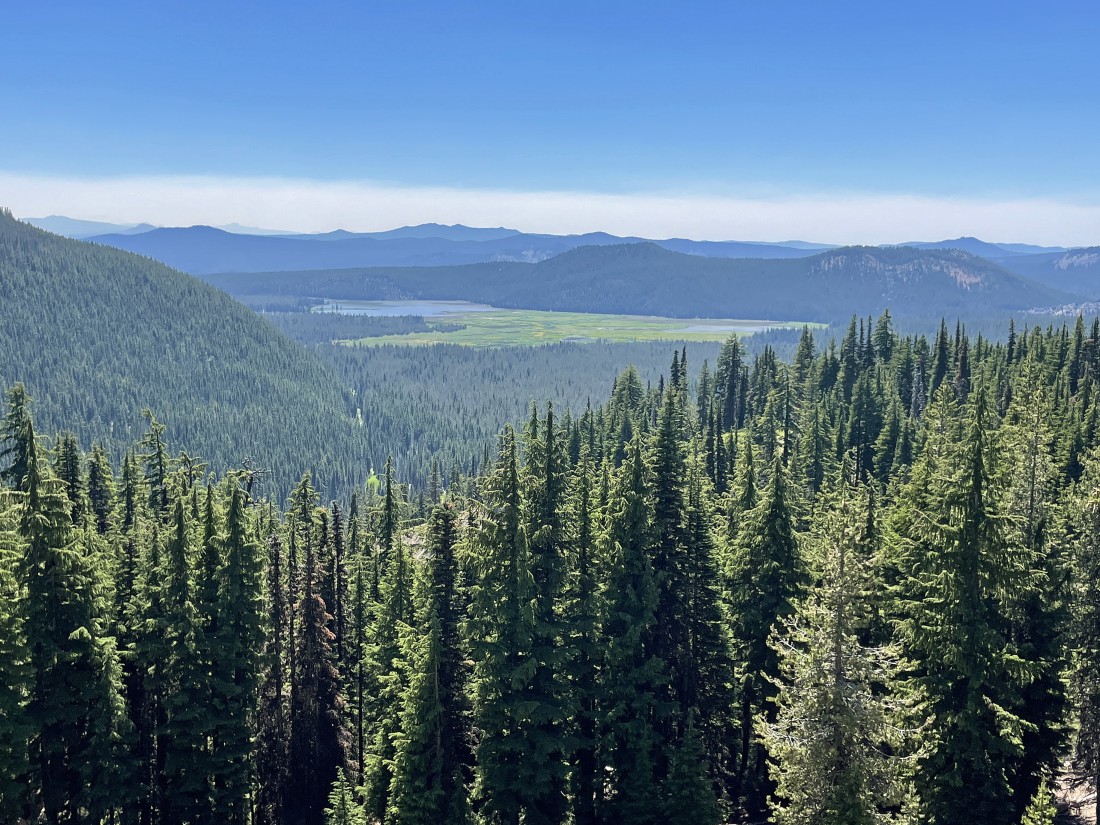
After hiking a total of 1.5 miles I found this huge meadow... and this is where I decided to leave the Soda Creek Trail and head north toward Broken Top.
|
Heading cross country to the north in pretty easy terrain... one really nice advantage to this cross country route is that it follows one of the several Soda Creek tributaries... and while I could rarely see the creek, I could always hear it.
|

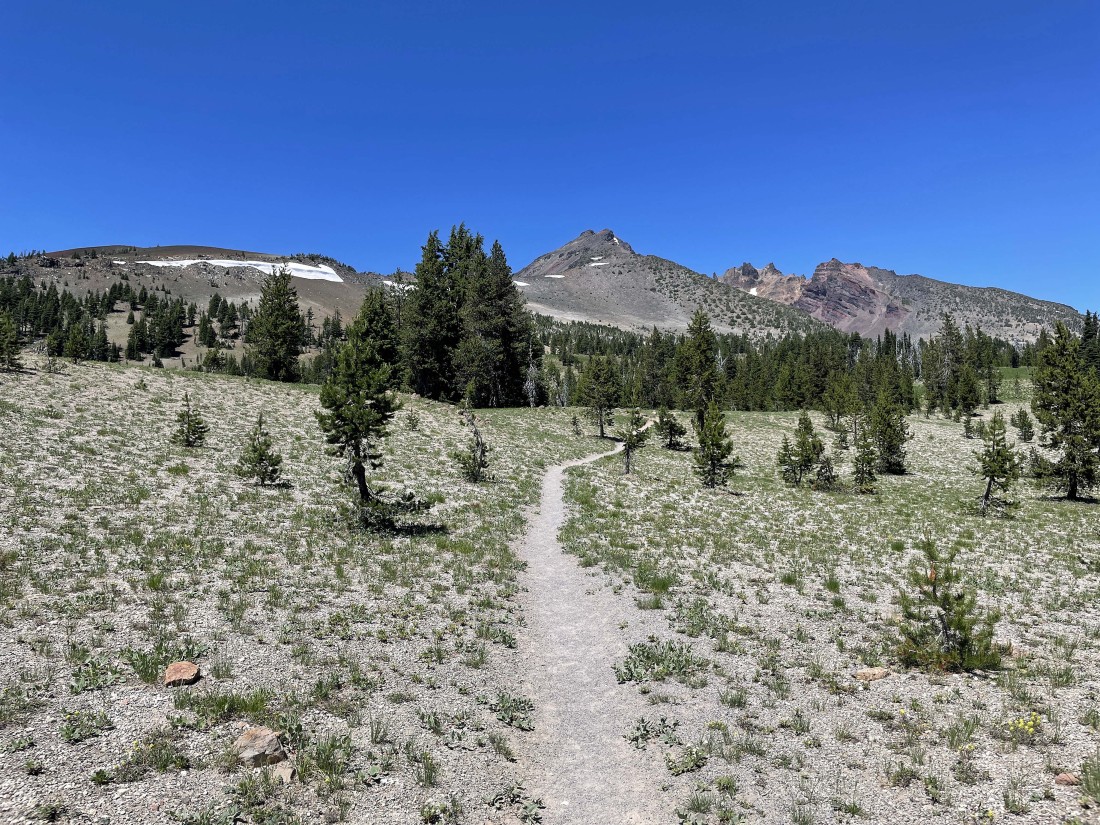
After hiking a total of 3 miles I'm starting to come out of the trees... and I can see a small part of the Cayuse Crater rim above.
|
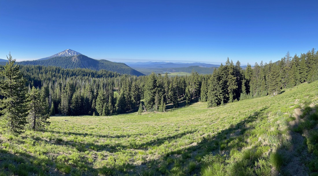
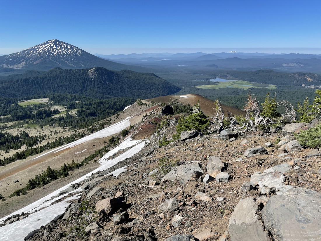
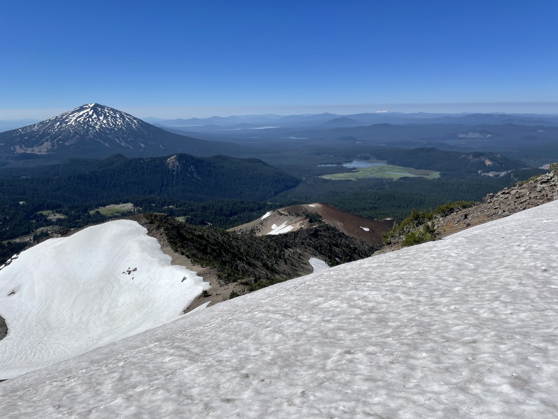
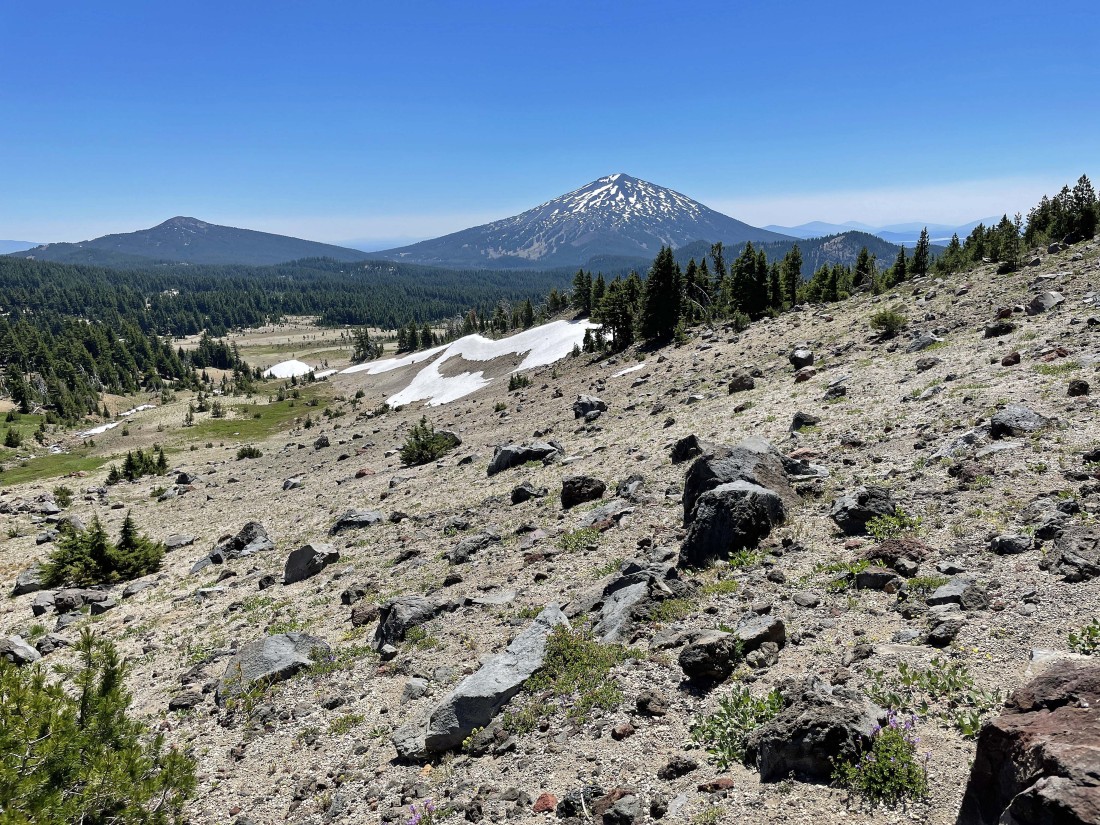
Continuing to gain elevation on my way to Cayuse Crater... here looking back to the south at Mount Bachelor and Sparks Lake.
|

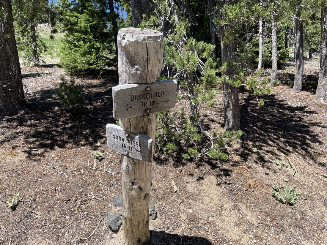
After hiking a total of 3.3 miles I will step across Broken Top Trail #10 and continue up steep terrain toward the top of Cayuse Crater.
|
Heading north for the top of Cayuse Crater... with South Sister visible on the far left.
|
|
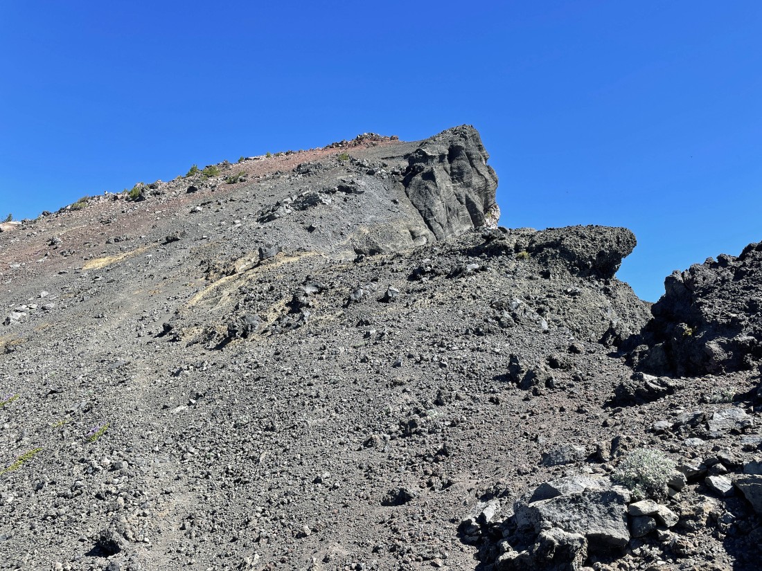
After hiking a total of 3.7 miles I am on top of the Cayuse Crater (7354')... here looking NW at the Three Sisters... and looking north at the ridge route that will take me up to the south peak of Broken Top.
|
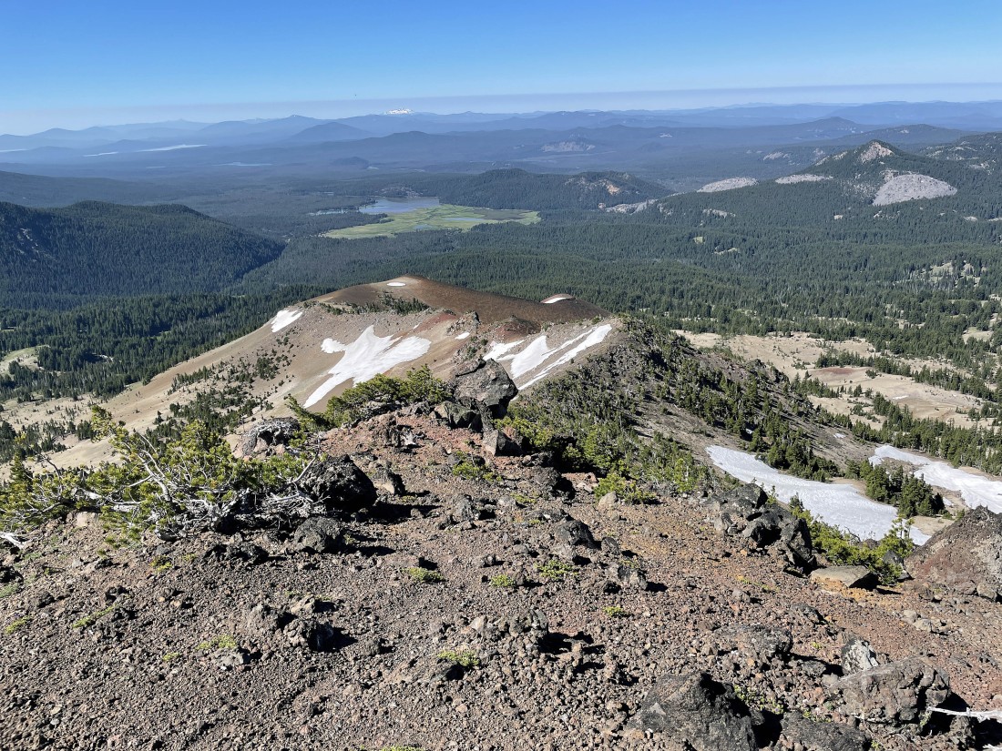
On top of the Cayuse Crater... looking south to Mount Bachelor and Sparks Lake... with the snow capped peak on the far right horizon being Diamond Peak.
|

Leaving the top of Cayuse Crater and continuing north along the ridge toward the south peak of Broken Top.
|
Continuing to gain elevation on the ridge... with Point 8107 in the distance on the right... and the south peak of Broken Top way up there.
|
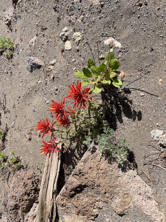
Indian Paintbrush.
|
|
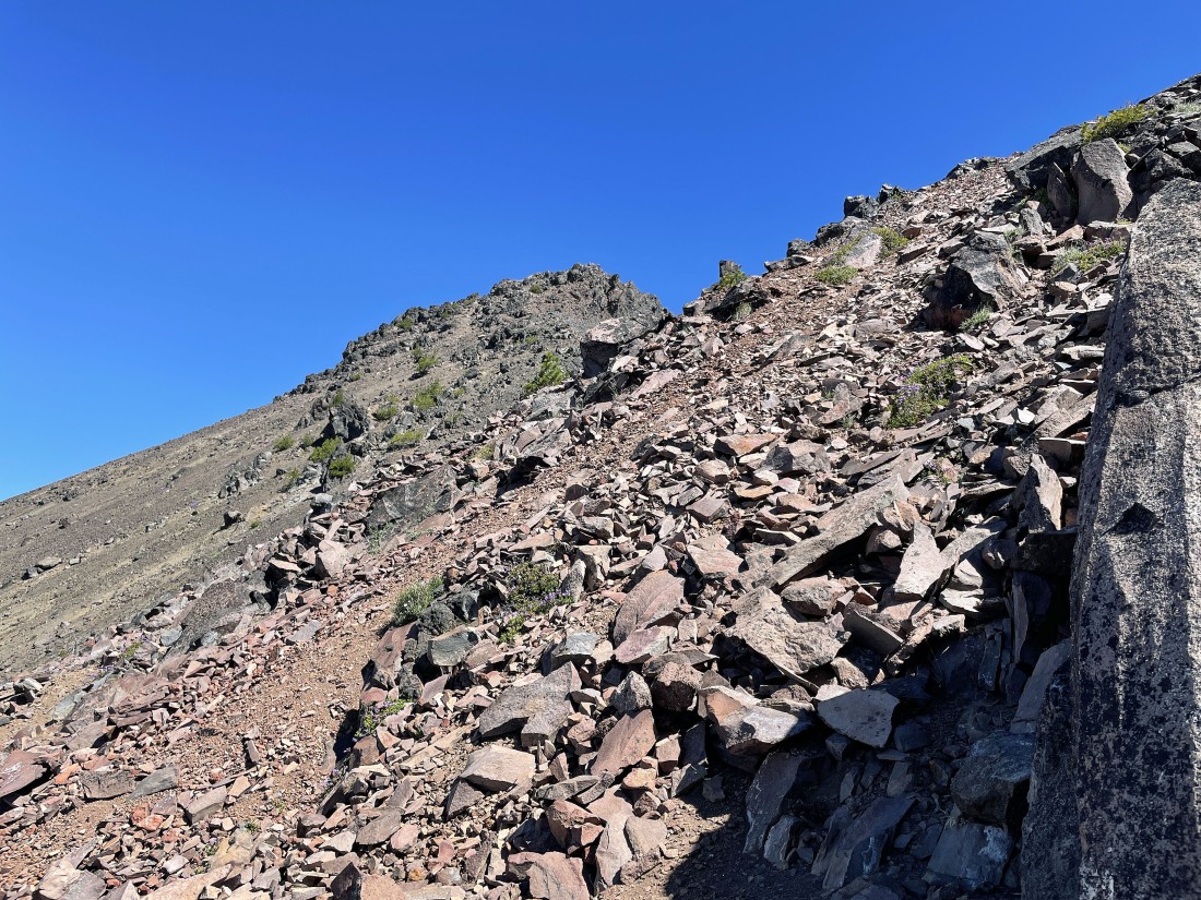
Continuing to hike north along the ridge that will get me up to the south peak of Broken Top.
|
After hiking a total of 4.3 miles I have reached Point 7810 on the ridge... here looking back to the south at my ridge route up from the Cayuse Crater.
|
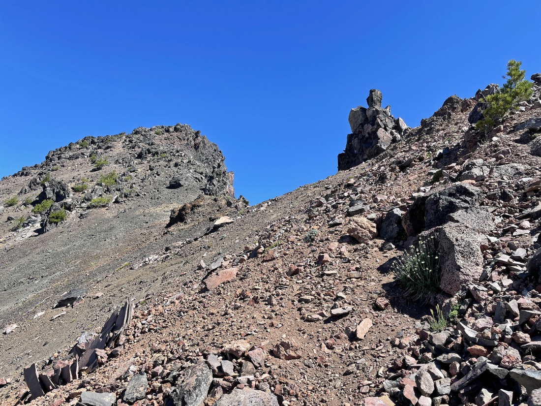
Leaving Point 7810 on the ridge and heading for Point 8107 above.
|

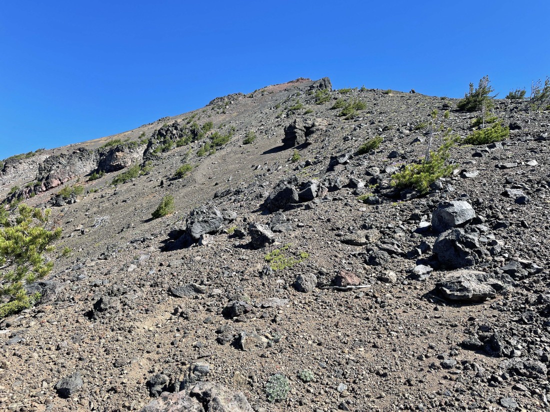
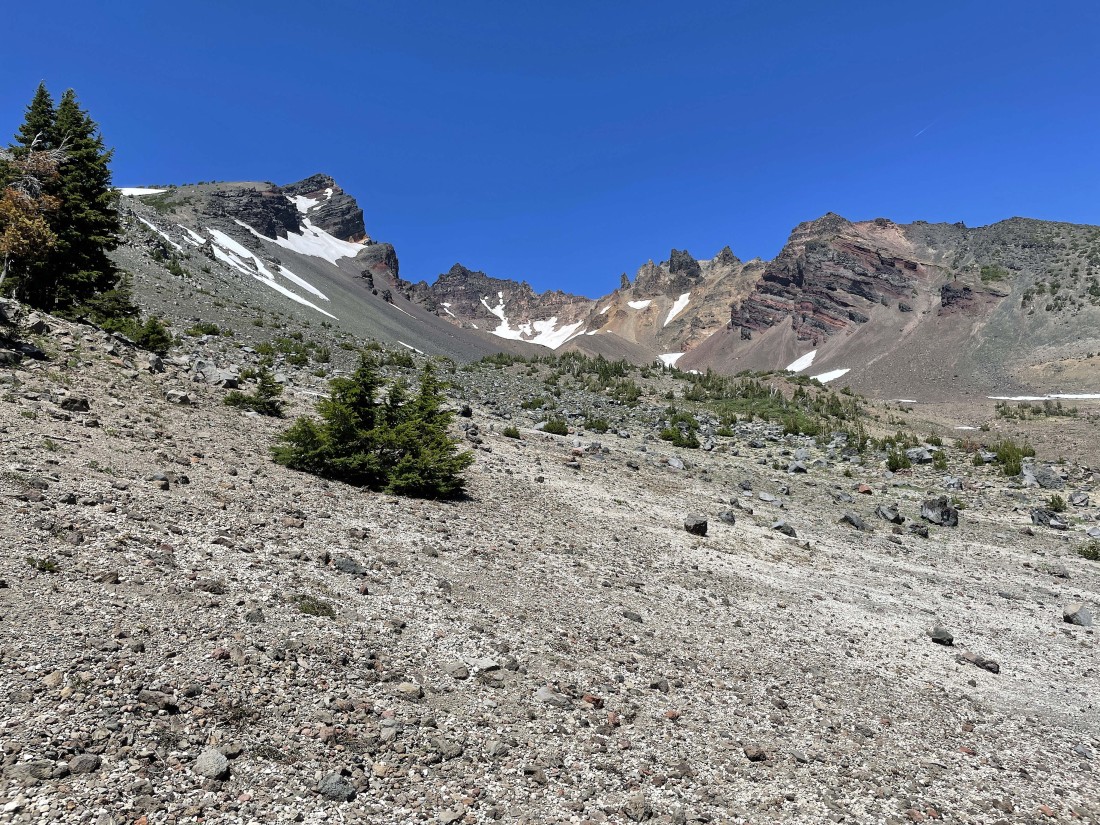
Nearing Point 8107... the terrain is steep and loose... with the south peak of Broken Top up there on the left.
|
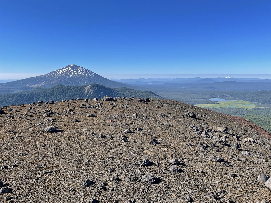
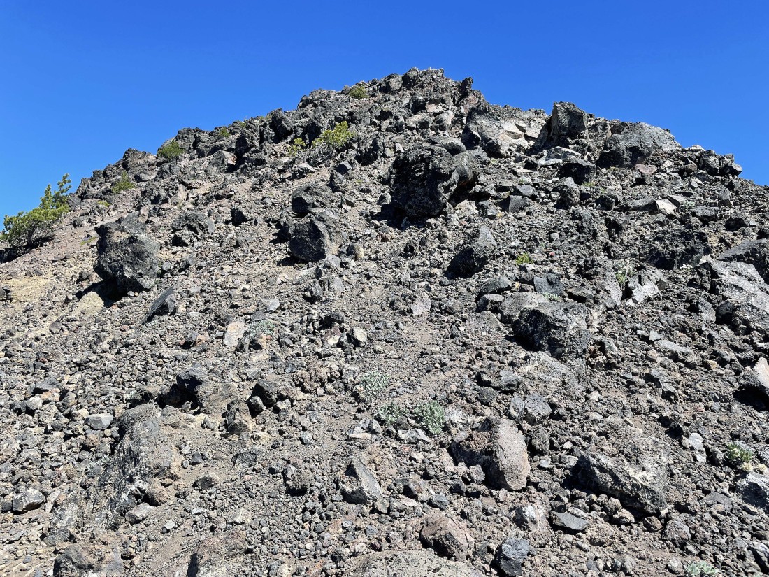
After hiking a total of 4.5 miles I have reached Point 8107... where I can see more of the Broken Top Mountain... with South Sister and Middle Sister visible on the far left... still lots of work to do!
|
Standing on Point 8107... looking back at my ridge route up from the Cayuse Crater... with Sparks Lake and several other of the lakes along the Cascade Lakes Highway in the distance.
|
Leaving Point 8107... another .7 miles of hiking and another 1000 feet of elevation gain will put me on the south peak of Broken Top.
|
Continuing up the ridge... here looking back at Point 8107... with Moon Mountain and Tumalo Mountain to the left of Point 8107 and Mount Bachelor to the right of Point 8107... and you can see a good portion of the ridge route I used to get from the Cayuse Crater up to Point 8107.
|
Continuing to gain elevation on the ridge leading up to the south peak of Broken Top... here looking back at the ridge route leading up from the Cayuse Crater.
|

Continuing to gain elevation on steep and loose terrain... with the south end of the largest of the Green Lakes coming into view below South Sister.
|
Continuing to gain elevation on steep and loose terrain... for each step up you will come back down a third of a step!
|
Looking back at my ridge route up from the Cayuse Crater... Point 8107 has the snow to the left... with Mount Bachelor and Sparks Lake beyond... Todd Lake is also visible out there on the far left.
|
Continuing to gain elevation on steep and loose terrain.
|
Continuing to gain elevation on steep and loose terrain... with the summit of the south peak of Broken Top visible on the left.
|
Reeling in the south peak of Broken Top.
|
|
Continuing to gain elevation on steep and loose terrain.
|
Continuing to gain elevation on steep and loose terrain.
|
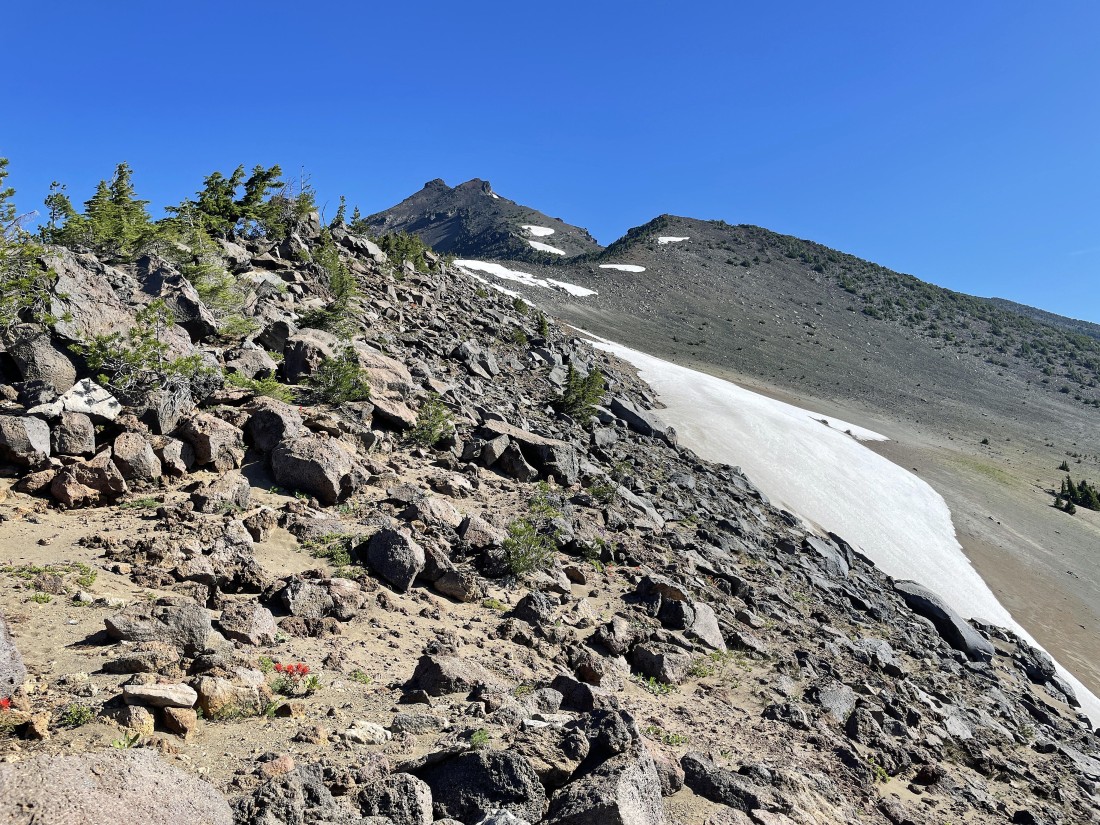
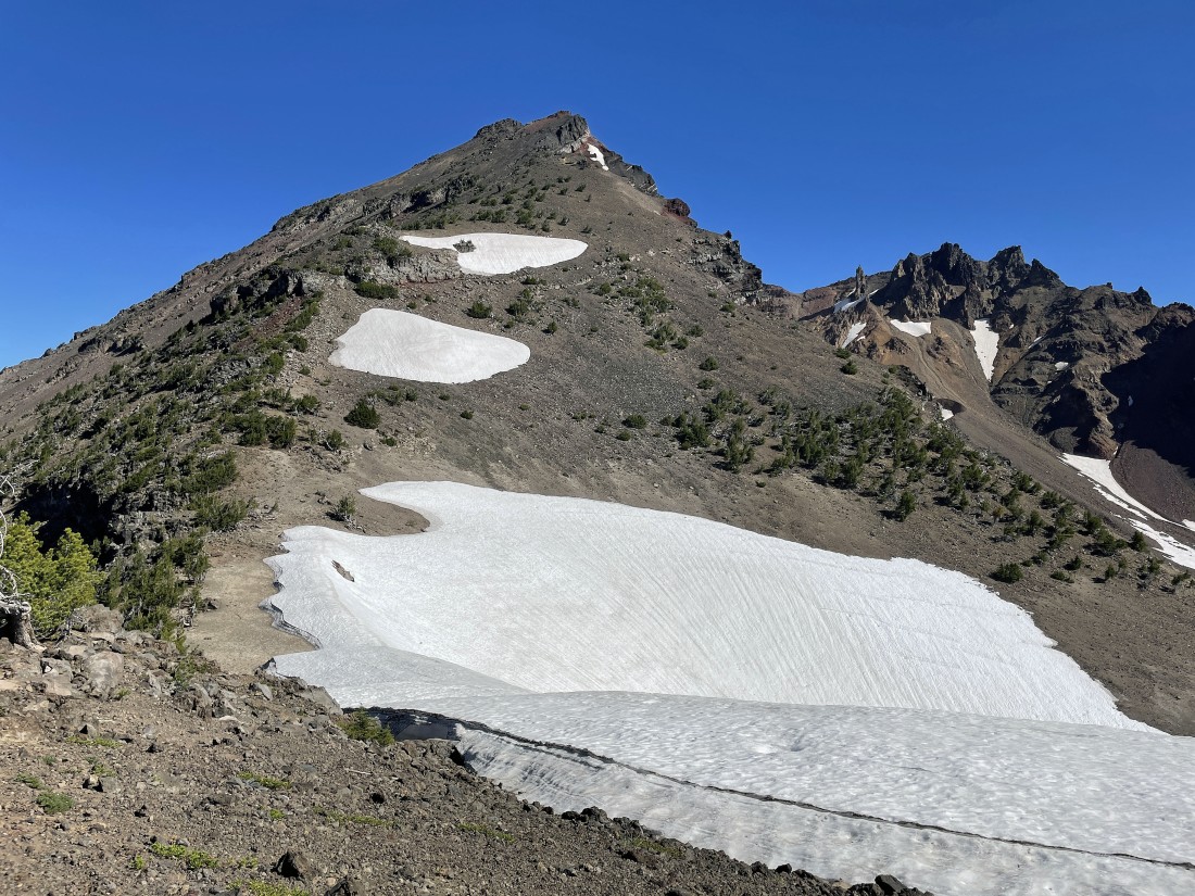
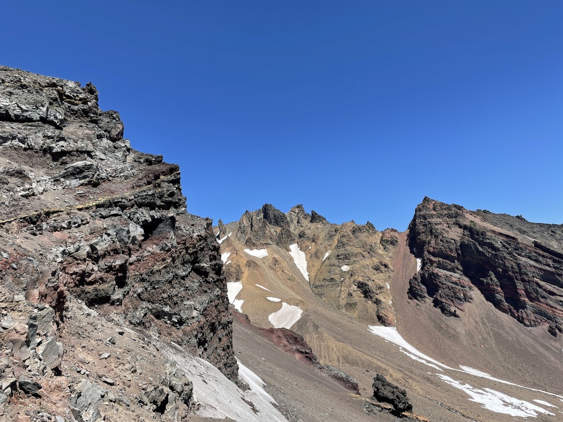
Nearing the summit of the south peak of Broken Top as I look back at what I call the 'false summit of the south peak of Broken Top'... with Ball Butte in the far left foreground... and Tumalo Mountain, Todd Lake and Mount Bachelor in the distance to the right of the false summit.
|
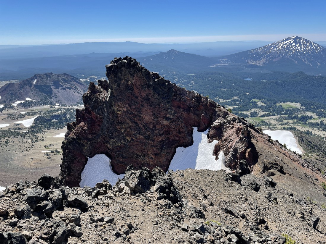
Finally... after hiking a total of 5.2 miles I am standing on the summit (9094') of the south peak of Broken Top... looking north to the true summit (9175') of Broken Top in the foreground... with two of the three Green Lakes visible below... then left-to-right... South Sister, Middle Sister, North Sister, Mount Washington, Three Fingered Jack, Mount Jefferson and Mount Hood.
|
Broken Top from the south peak of Broken Top... with Ball Butte on the far right.
|
|
From the summit of the south peak of Broken Top I am looking south at the ridge route I used to get up here from the Cayuse Crater.
|
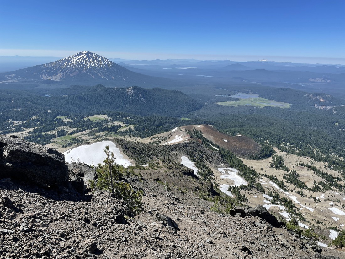
A pano shot from the south peak of Broken Top... from Mount Bachelor (south) to the Three Sisters (NW).
|

Tracing my steps back down my ridge route... here nearing Point 8107 in the foreground... instead of going back down to the Cayuse Crater I will go down to the left of Point 8107.
|
Looking back at Broken Top as I descend... and just like going up, the terrain is steep and loose going down... but now for each step down I continue to slide down another third of a step... made me think of Paul Simon and 'Slip Sliding Away'.
|
Continuing to descend... and looking back up at Broken Top.
|
|
Nearing Point 8107 in the far right foreground and looking for the best route down to some flat terrain... Ball Butte on the far left... then Moon Mountain, Tumalo Mountain and Mount Bachelor.
|
So ready to get back on a real trail... with Tumalo Mountain and Mount Bachelor on the horizon.
|
Looking back at Broken Top as I continue to look for a trail.
|
After hiking a total of 6.7 miles I have found Broken Top Trail #10... and I will hike west on the trail.
|
After hiking a total of 7.5 miles I have found the trail junction of Broken Top Trail #10 and Soda Creek Trail #11... where I will take the Soda Creek Trail... I am still 5 miles from the parking lot, but at least I am on a trail.
|
Looking back at the Cayuse Crater (far left) and Broken Top as I continue hiking on the Soda Creek Trail.
|

After hiking a total of 8.5 miles I have reached the trail junction of Soda Creek Trail #11 and Todd Lake Trail #34... where I will continue on the Soda Creek Trail for another 4 miles to get back to the parking lot.
|
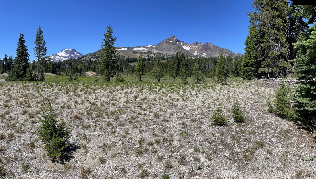
Continuing to hike on the Soda Creek Trail... with South Sister, Cayuse Crater and Broken Top in the distance.
|
Sparks Lake from the Soda Creek Trail.
|
Back to those unusual rock formations that I had found 9 hours earlier in the day... more or less closing the loop portion of this hike... the hike was a total of 12.5 miles, gaining 3701 feet of elevation.
|
