South Sister - 8.15.2022
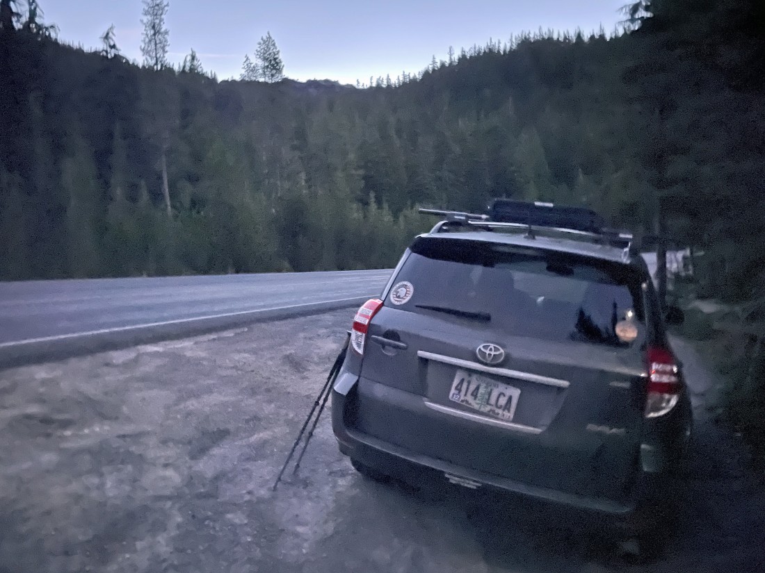
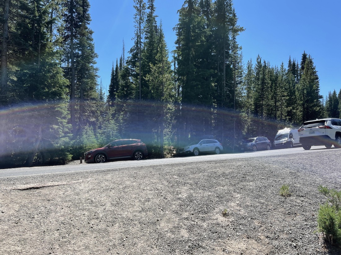
It's 5:30am and 47 degrees... while I park just off of the Cascade Lakes Highway near the Devils Lake Parking Lot... where I will cross the highway and start hiking on South Sister Climber Trail #36... the elevation here is 5450 feet.
|
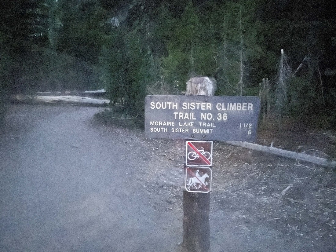
This sign is on the north side of the Cascade Lakes Highway... less than 100 feet from where I parked on the other side of the highway.
|
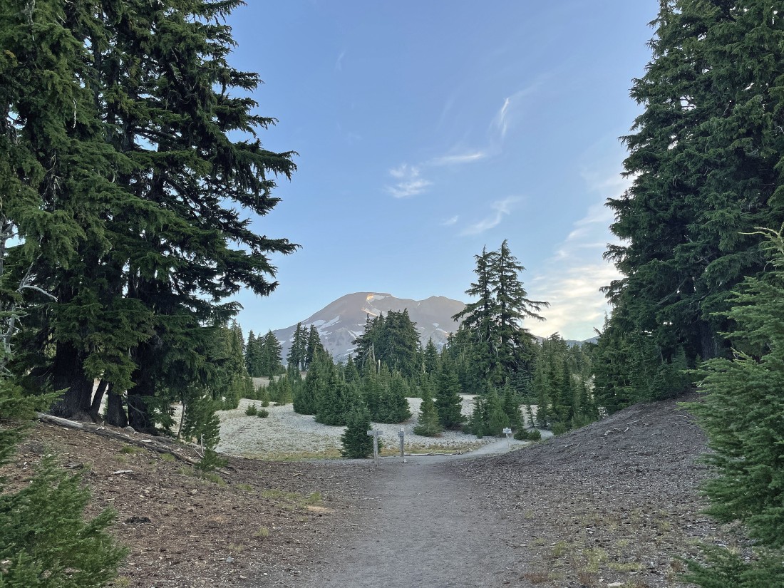
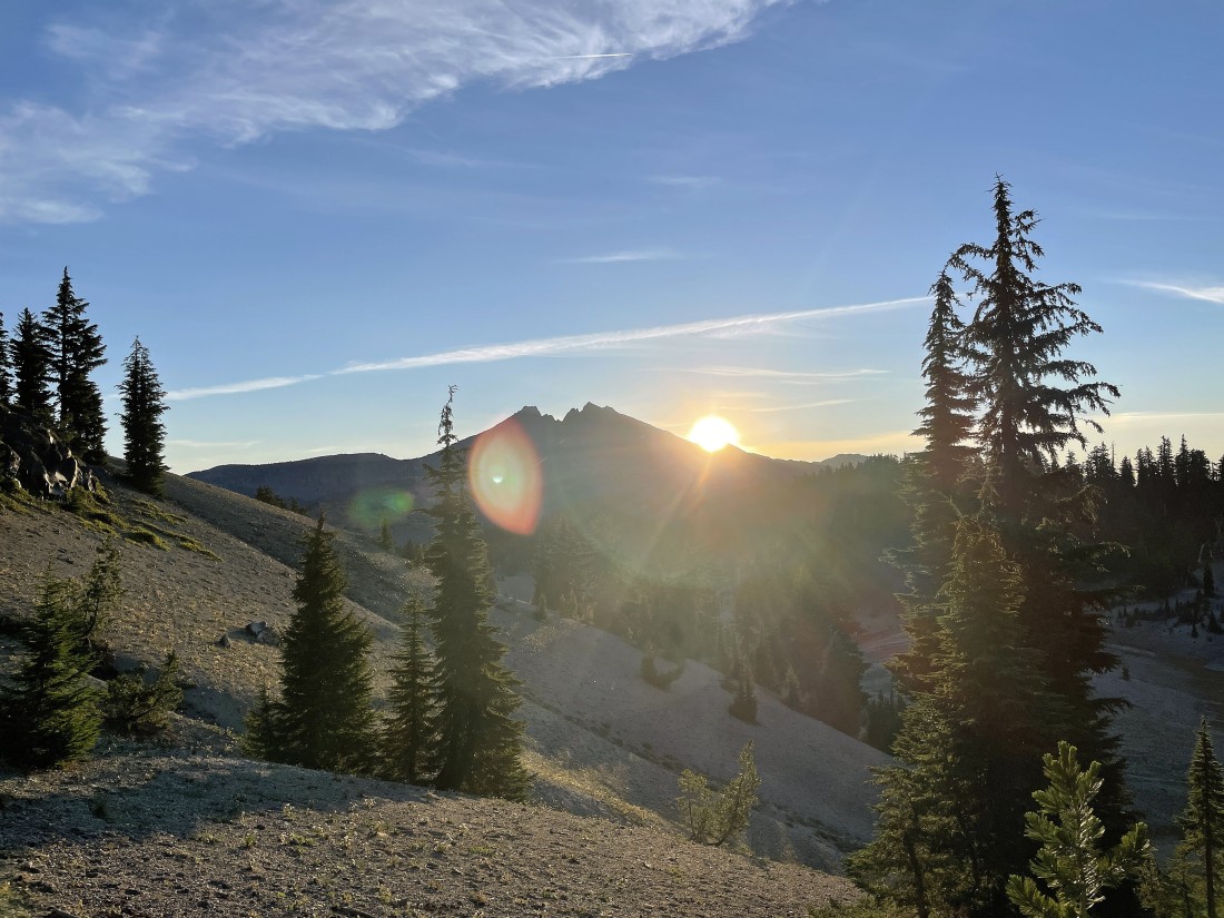
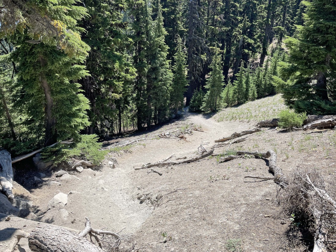
After hiking a total of 1.7 miles I have come up out of the forest and got my first good look at South Sister... elevation is 6680 feet.
|
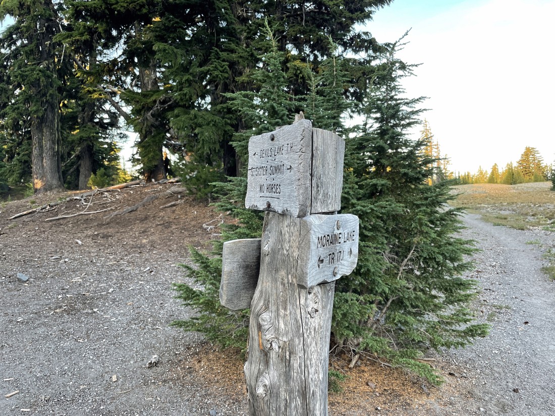
The trail junction with Moraine Lake Trail #17.1 is only a stone's throw from the previous photo... I will continue hiking on South Sister Climber Trail #36.
|
Looking over to the east at Broken Top as I continue hiking north on the South Sister Climber Trail #36.
|

After coming up out of the forest the terrain is fairly flat for the next 1.2 miles... gaining only 250 feet of elevation in that distance... I call it hiking along the 'Moraine Lake Plateau'.
|
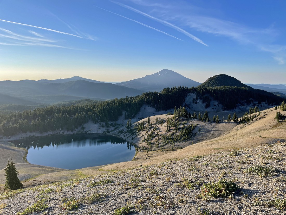
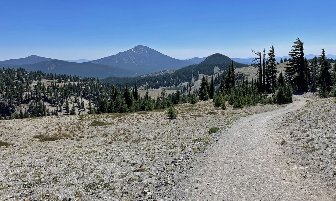
Looking down on Moraine Lake as I continue hiking along the 'Moraine Lake Plateau'... with Tumalo Mountain directly above the lake on the horizon... Mount Bachelor in the right center of the photo... and Devils Hill in the right foreground.
|
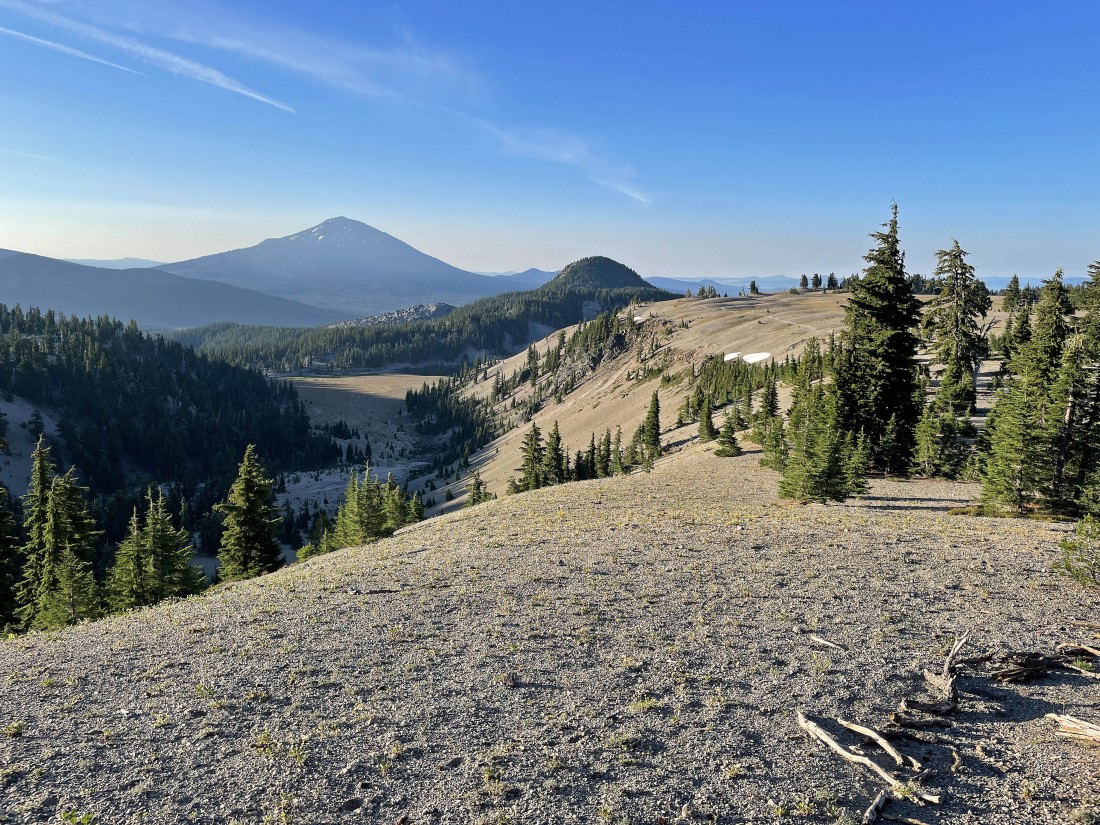
After hiking a total of 2.9 miles I have finished crossing the 'Moraine Lake Plateau'... here looking back at Mount Bachelor and Devils Hill... elevation is 6930 feet.
|
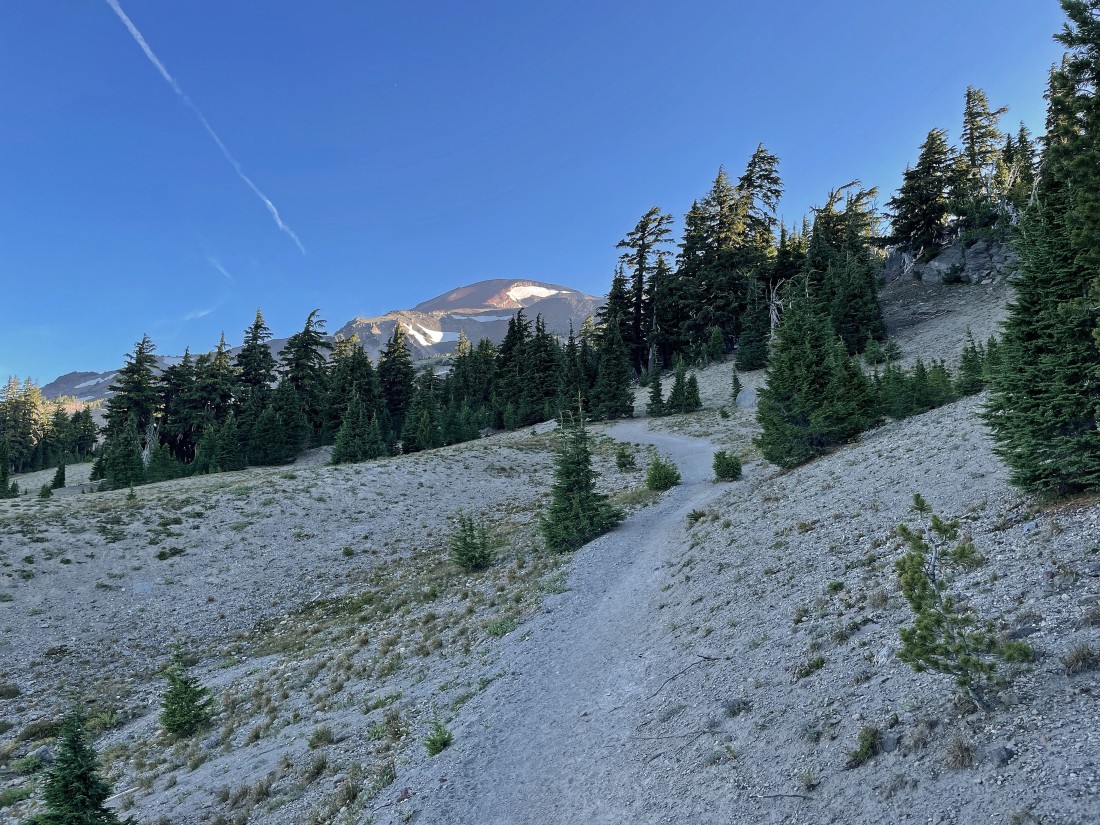
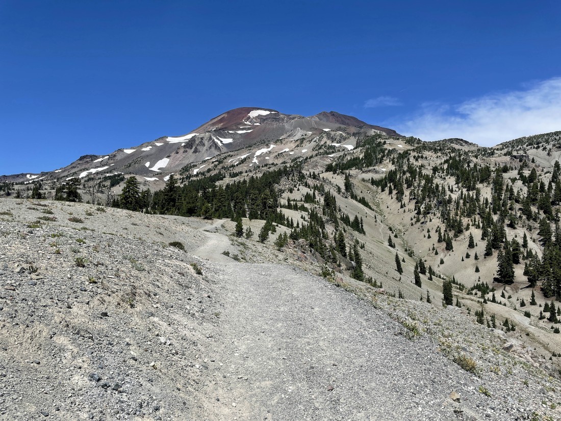
After crossing the 'Moraine Lake Plateau' the elevation gain begins to increase.
|
Gaining elevation on South Sister Climbing Trail... here looking back to the south... with the views increasing with every step up... with the red line showing the approximate route across the 'Moraine Lake Plateau'.
|
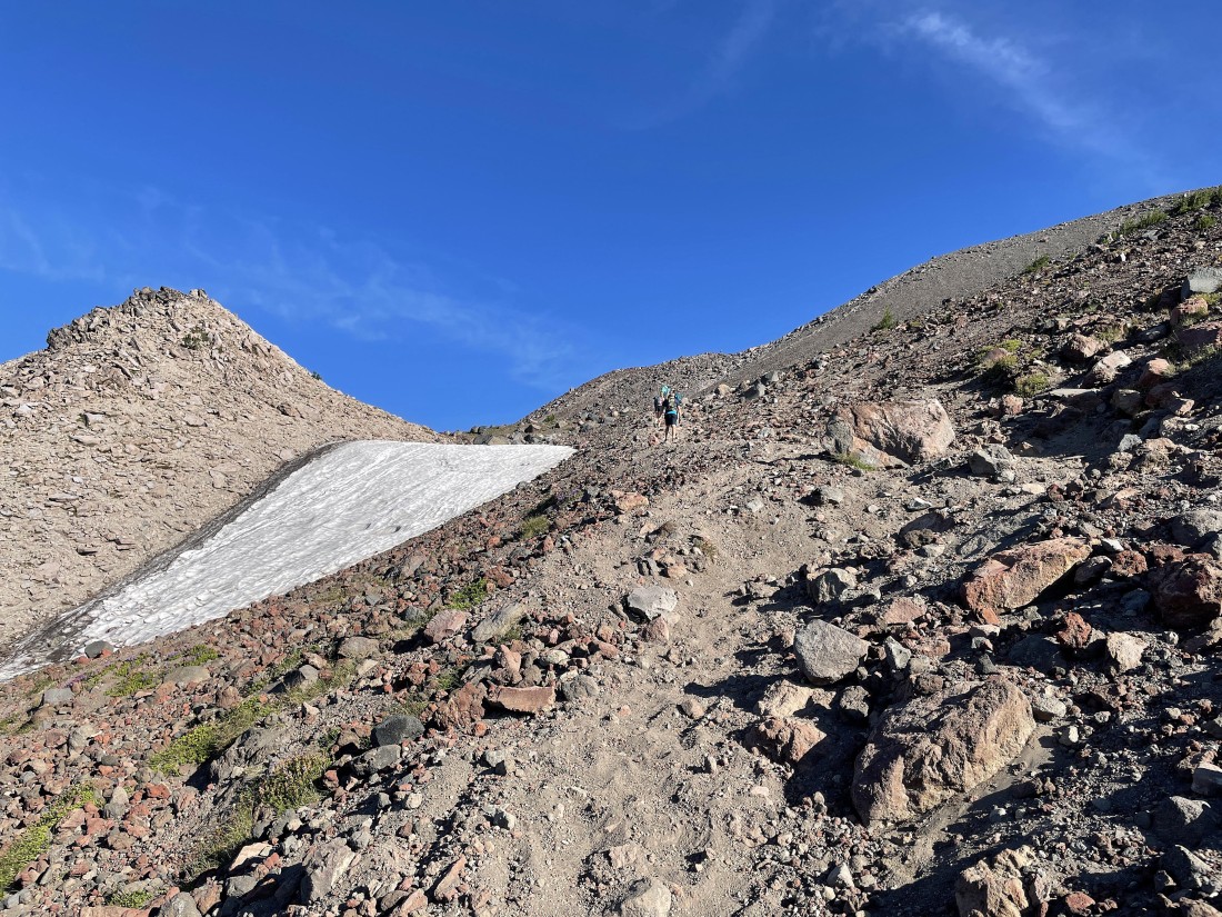
Nearing the Lewis Glacier Tarn.
|
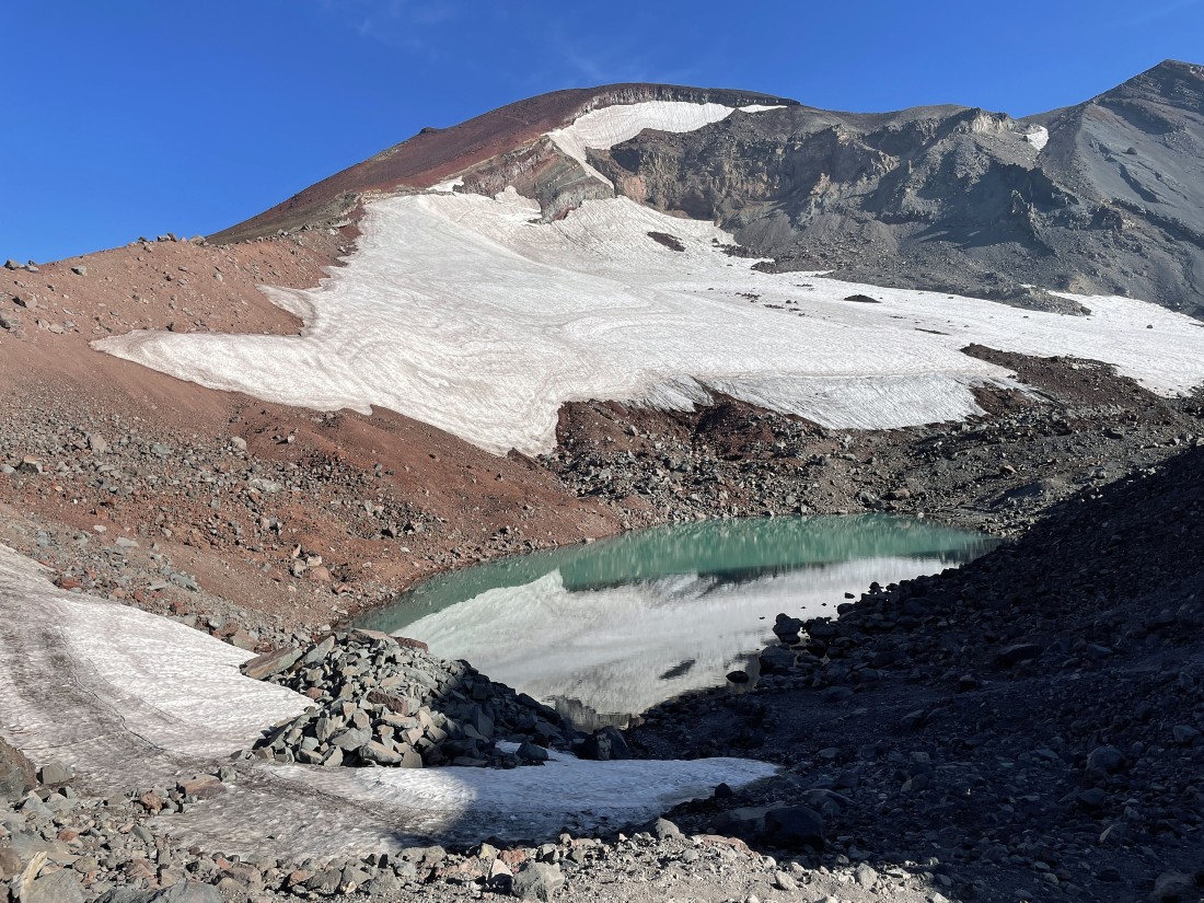
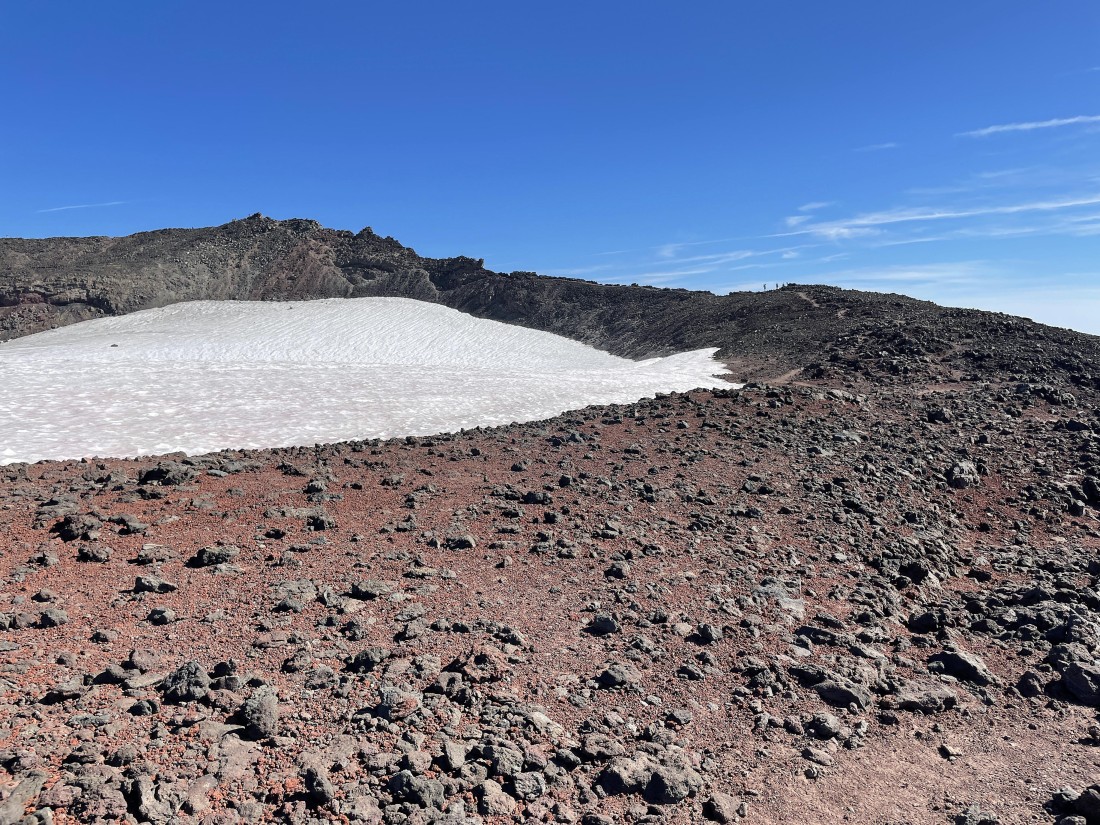
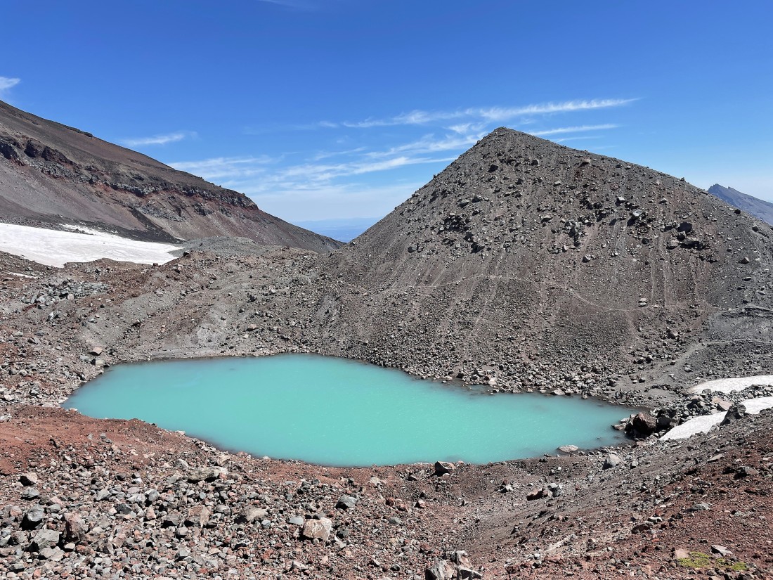
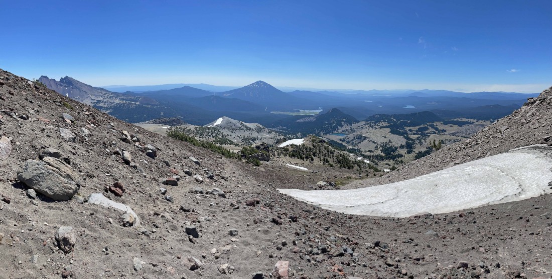
After hiking a total of 4.5 miles I am standing at an elevation of 8840 feet and looking down at the Lewis Glacier Tarn... obviously located below the Lewis Glacier.
|
Continuing to gain elevation as I hike along the west side of the Lewis Glacier... here looking down at the tarn and Point 9017 which sits above the tarn... with Broken Top to the left of Point 9017 and Tumalo Mountain to the right of it.
|
Continuing to gain elevation along the west side of the Lewis Glacier.
|
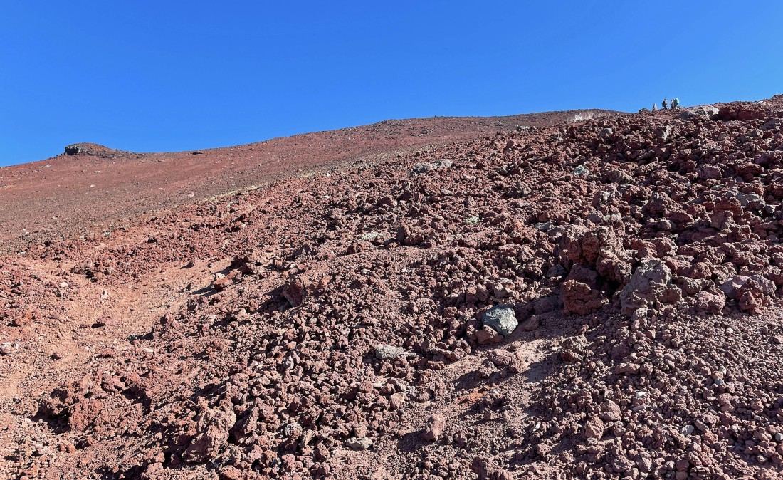
After hiking a total of 5.3 miles I have reached the southern rim of the South Sister crater... elevation is 10,200 feet... the summit is directly across the crater, but I will follow the trail to the right (counter clockwise) and follow it over to the summit.
|
|
Hiking along the South Sister crater rim and looking SE (left) to the SW (right).
|
Continuing to hike along the crater rim... with every step getting me closer to the summit over there on the left.
|
Looking across Hodge Crest in the foreground to Broken Top in the distance... with Mount Bachelor standing out in the right center of the photo.
|
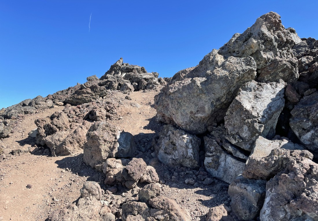
Nearing the summit of South Sister up there on the left.
|
After hiking a total of 5.7 miles I am on the summit (10,358') of South Sister... here looking across Hodge Crest in the left foreground to Broken Top and Mount Bachelor... and I had initially reached the crater rim over on the far right.
|
|
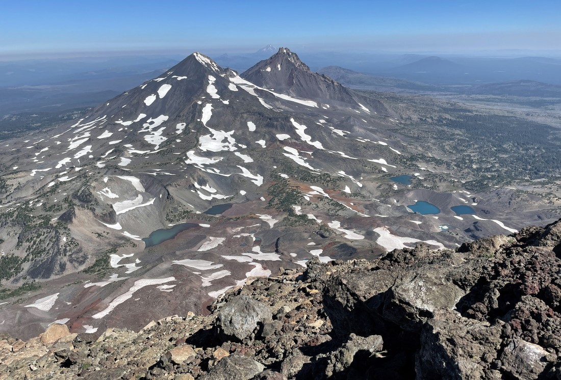
This photo was taken from the summit area... looking north to Middle Sister and North Sister... and looking down on Chambers Lakes.
|
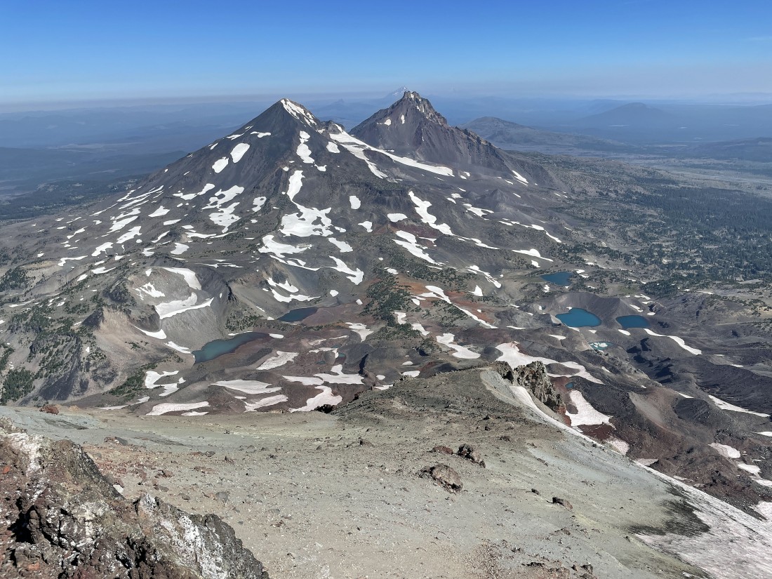
A closer look at Middle Sister, North Sister and Chambers Lakes.
|

I bumped into this incredibly interesting dude on the summit.
|
I am continuing to hike counter clockwise around the crater rim... here looking back at the South Sister summit on the left.
|
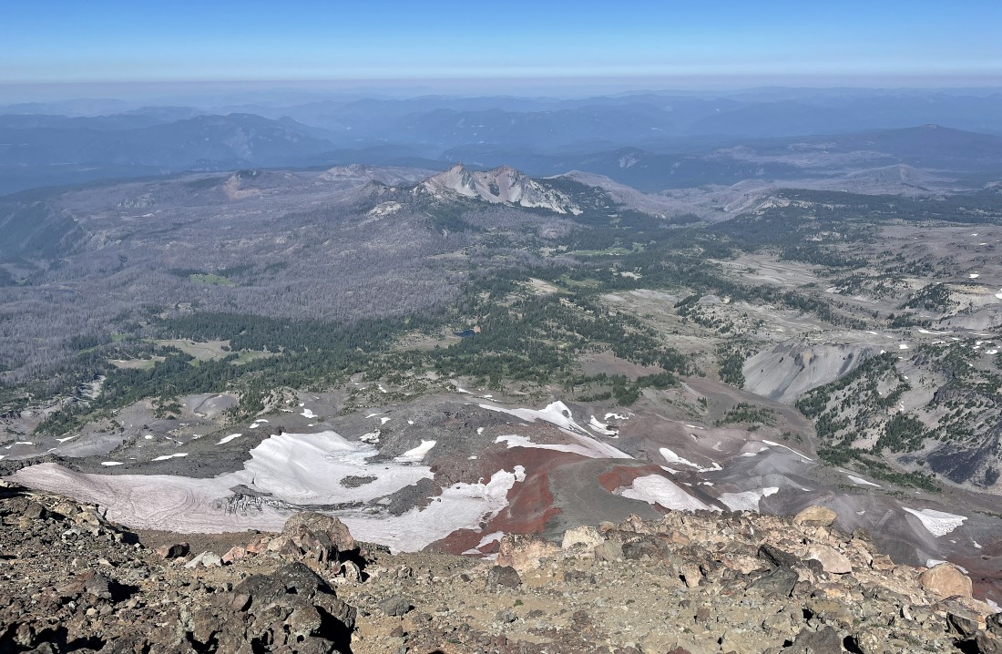
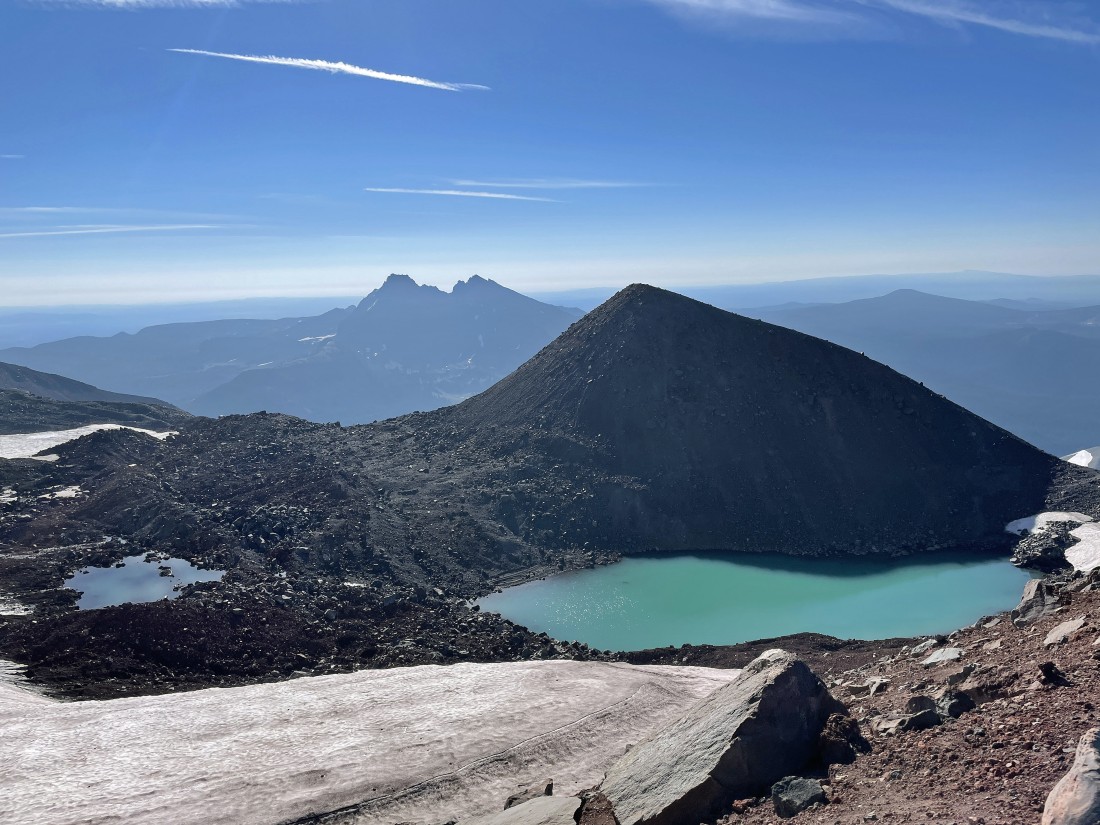
Continuing to hike counter clockwise around the crater rim... here looking NW... down to the Lost Creek Glacier and out to 'The Husband' in the center of the photo.
|
Looking back at Middle Sister, North Sister and Chambers Lakes as I continue to hike around the crater rim.
|

Continuing to hike around the crater rim... looking down at a kind of dirty 'Teardrop Pool' on the left.
|
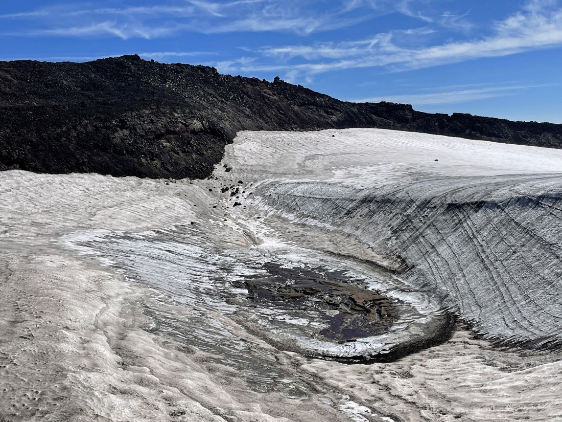
A closer look at the 'Teardrop Pool'... with the South Sister summit above.
|
I have almost completed my circumnavigation of the crater rim... with Mount Bachelor on the far left... and 'The Husband' on the far right... and it looks like there is a fire out there near Diamond Peak in the middle of the photo.
|
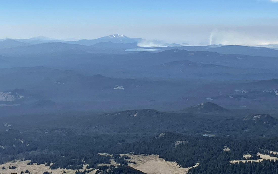
A closer look at the fire over by Diamond Peak.
|
|
After hiking a total of 6.2 miles I have finished circumnavigating the crater rim of South Sister... and it is time to more or less trace my steps back down to the car.
|
Tracing my steps back down from the crater rim... returning to the Lewis Glacier Tarn by following the trail that goes between the Lewis Glacier and Clark Glacier.
|
Back down to the Lewis Glacier Tarn... with Point 9017 (aka Lewis Glacier Peak) above the tarn... with the south summit of Broken Top barely visible on the extreme far right in the photo.
|
Leaving the Lewis Glacier Tarn and continuing down... pretty much taking as much time going down as the time it took coming up.
|
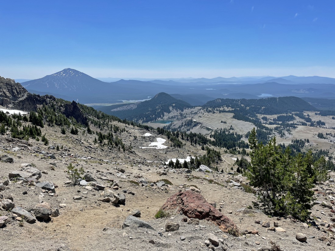
Continuing down... with Moraine Lake and the 'Moraine Lake Plateau' in the middle of the photo... and Mount Bachelor on the distant left.
|
After hiking a total of 8.6 miles I am back down to the 'Moraine Lake Plateau'... leaving only 3 more miles of hiking to get back to my car.
|
Looking back at South Sister as I continue hiking along the 'Moraine Lake Plateau'.
|
Continuing to hike along the 'Moraine Lake Plateau'... looking down on Moraine Lake... with Broken Top on the far left... with Mount Bachelor and Devils Hill to the right of the lake.
|
After hiking a total of 9.9 miles I am leaving the 'Moraine Lake Plateau' and getting ready to reenter the forest... leaving a 1.7 mile hike to get back to my car.
|
After hiking a total of 11.6 miles I have made it back to my car... with the hike gaining a total of 5037 feet of elevation.
|
