Broken Hand West - 8.22.2022
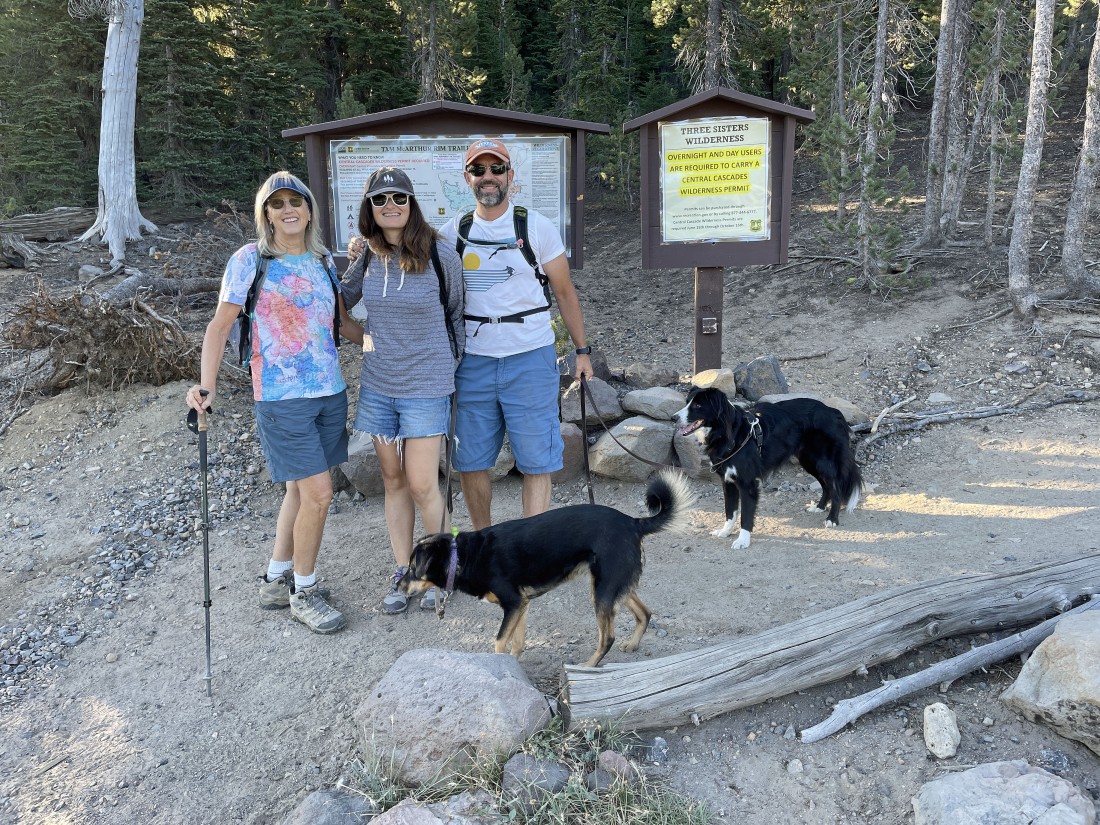
We drove Forest Service Road 16 from the town of Sisters, Oregon out to Three Creek Lake and parked at the trailhead for Tam McArthur Rim Trail #4078... Lindsay (one of my nieces), her husband Josh and their two dogs... Sam and Lucy... joined Denali Girl and me on this hike.
|
In less than a half mile of hiking we started to get views of Three Creek Lake... and we can see Point 7732 up there on Tam McArthur Rim on the left... with North Sister on the middle horizon in the photo.
|
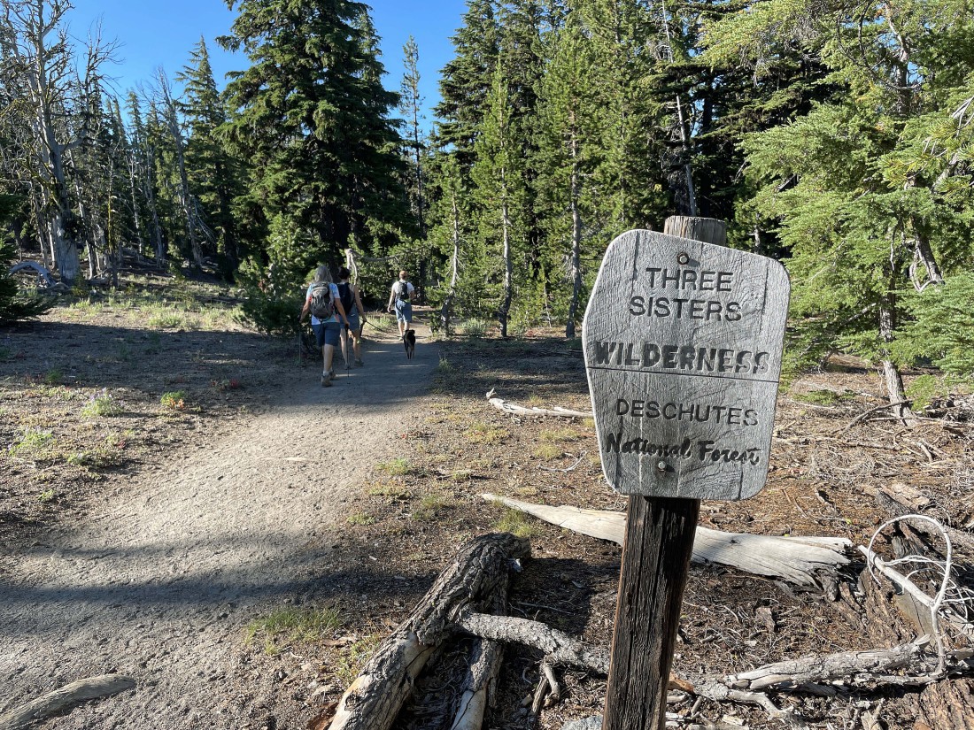
After hiking a total of one mile we are entering Three Sisters Wilderness.
|
After hiking a total of 2 miles we can see Point 7732 out there on the right... and Broken Top on the horizon between the trees on the left.
|
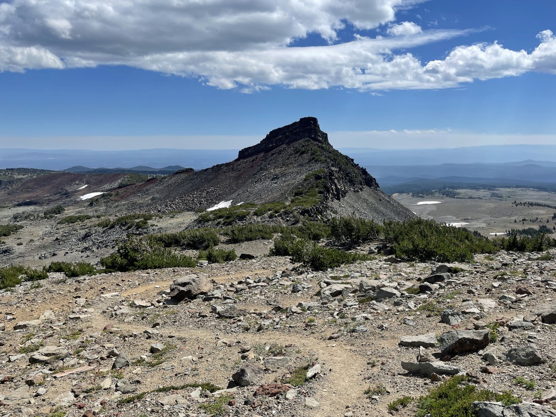
Nearing Point 7732 on the left... with Little Three Creek Lake below... and Three Creek Lake (where we parked) in the distance on the right.
|
|
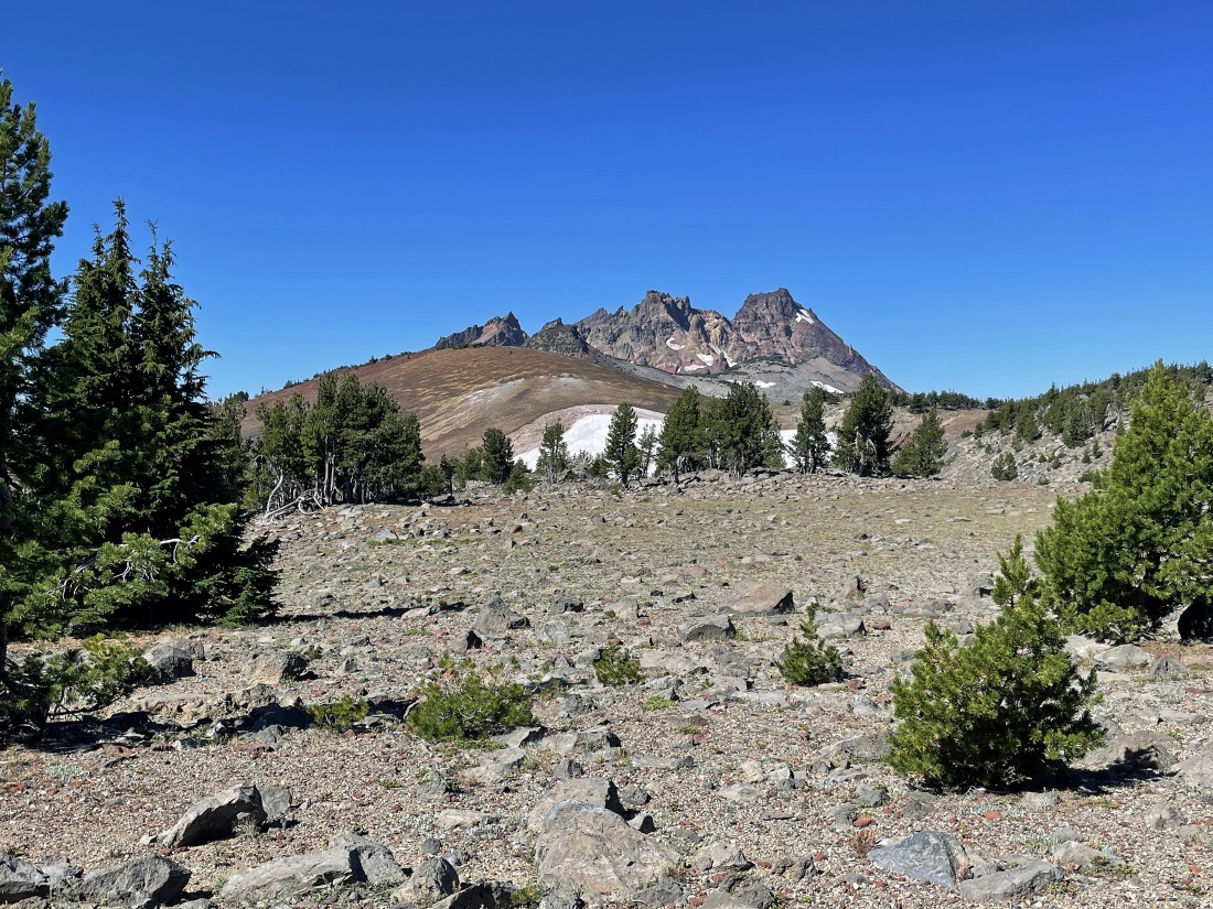
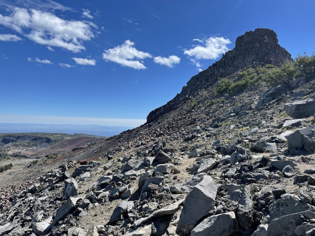
After hiking a total of 2.75 miles we have reached Point 7732... Broken Top and the Three Sisters are very visible now.
|

Lindsay and Josh with Sam posing on Point 7732.
|

Looking back at Point 7732 as we continue hiking along Tam McArthur Rim on our way toward Broken Top... with Little Three Creek Lake below Point 7732... Three Fingered Jack, Mount Jefferson and Mount Hood are visible on the left horizon.
|

Continuing to hike along Tam McArthur Rim toward Broken Top in the center of the photo... with South Sister visible on the right.
|
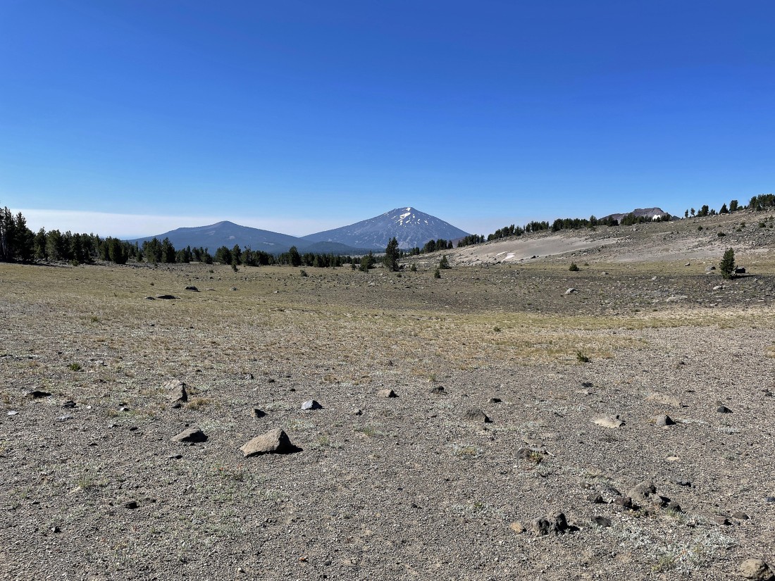
Looking south at Tumalo Mountain and Mount Bachelor in the center of the photo... and we can see the top of Ball Butte on the right horizon.
|
Every step takes us closer to Broken Top.
|

Continuing to hike along Tam McArthur Rim on our way to Broken Top... with Mount Bachelor and Ball Butte on the left.
|
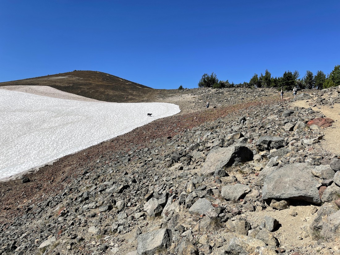
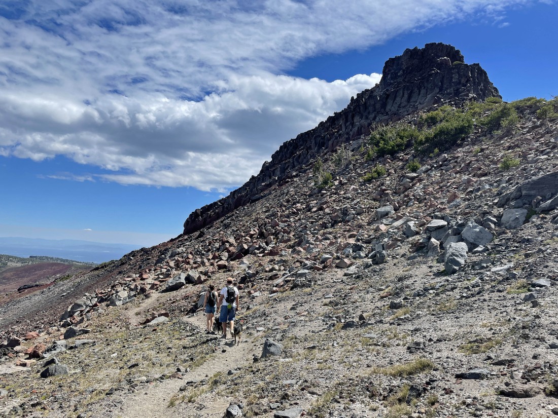
Sam is waiting for Josh to come over and join him on the snowfield.
|
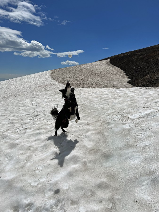
Sam shows us how to snag a snowball.
|
Continuing to hike along Tam McArthur Rim... with Broken Top and the Three Sisters getting closer... with Mount Jefferson on the extreme far right horizon in the photo.
|
|
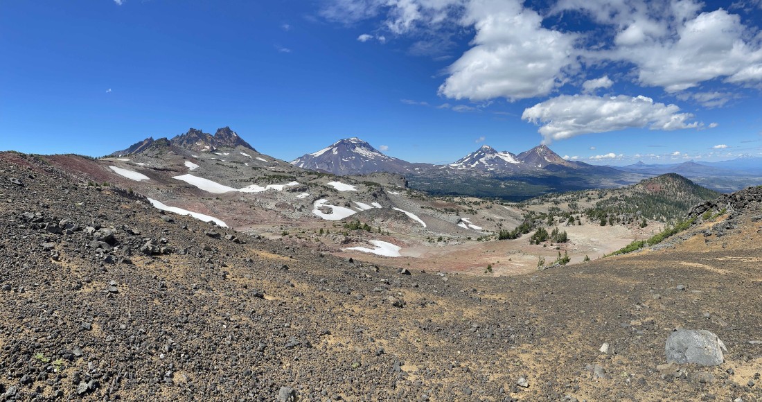
Continuing to hike along Tam McArthur Rim... with Tumalo, Bachelor and Ball Butte on the far left... Broken Top in the middle... with the Three Sisters to the right of Broken Top.
|
Gonna have to give up a little elevation as we continue to hike toward Broken Top.
|
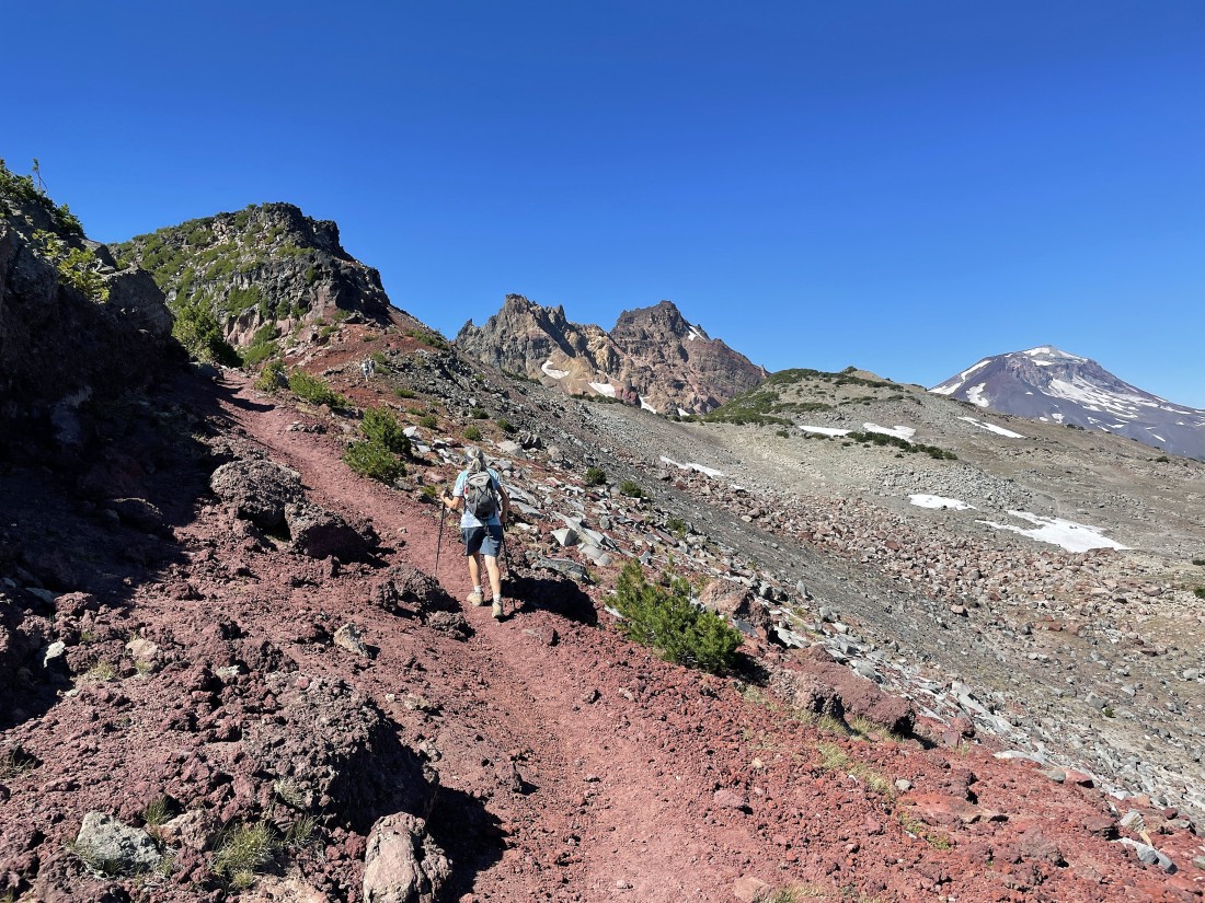
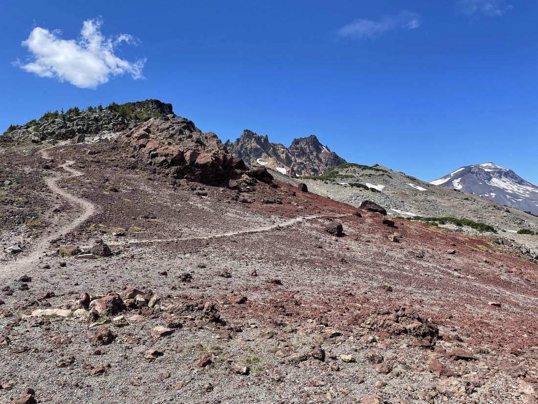
Regaining the lost elevation as we near Broken Hand in the left foreground... with Broken Top, Broken Hand West (our final destination) and South Sister beyond.
|
After hiking a total of 5 miles we have reached the north side of Broken Hand... and are heading for Broken Hand West... the little bump out there in front of Broken Top and South Sister.
|
Looking back at the west end of Broken Hand as we continue hiking toward Broken Hand West... with Tam McArthur Rim and Point 7732 back there in the distance on the left.
|
|
Our first peek at 'No Name Lake' sitting over there on the east shoulder of Broken Top... with Ball Butte, Tumalo and Bachelor on the far left... Broken Hand West in the right foreground... and Middle Sister and North Sister on the far right.
|

Broken Hand West in the foreground (blocking part of South Sister)... with Middle Sister and North Sister on the right.
|
Josh and Sam posing on the summit of Broken Hand West... with the summit of Broken Top in the distance on the right.
|
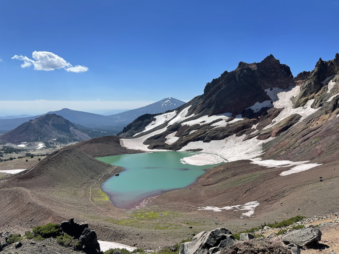
'No Name Lake' from the summit of Broken Hand West.
|
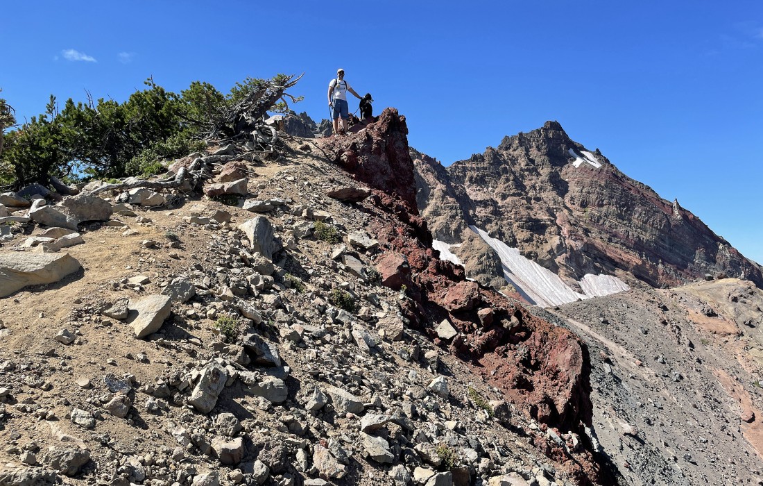
After hiking a total of 5.5 miles we have reached the summit (8388') of Broken Hand West... where Josh took this photo of me taking a photo in my 'Molokai' shirt... a gift from my longtime friend Ranger Steve.
|
|
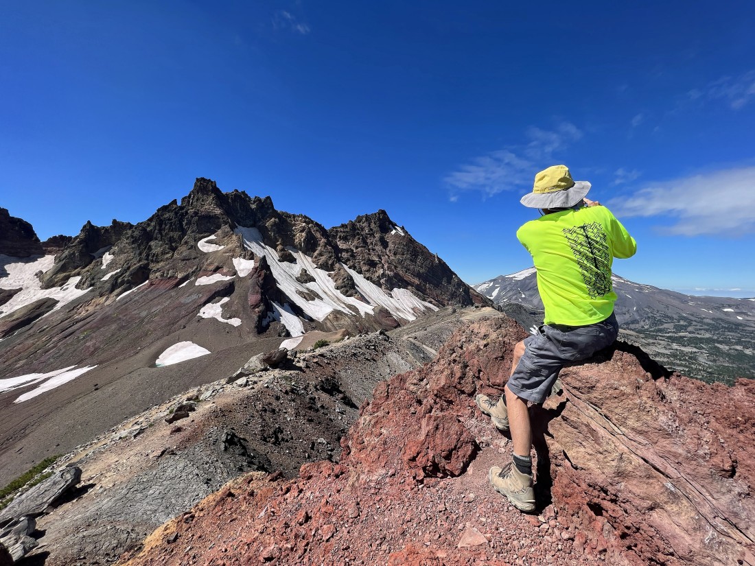
Josh and Sam on the summit of Broken Hand West.
|
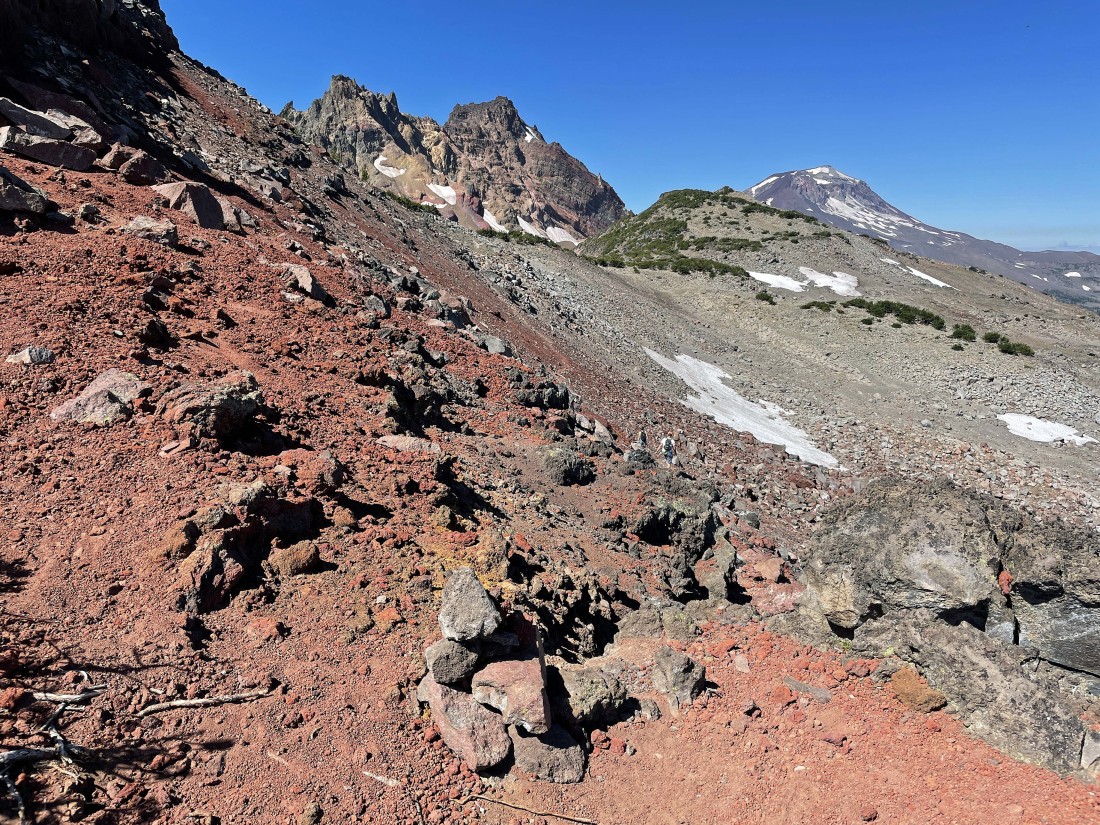
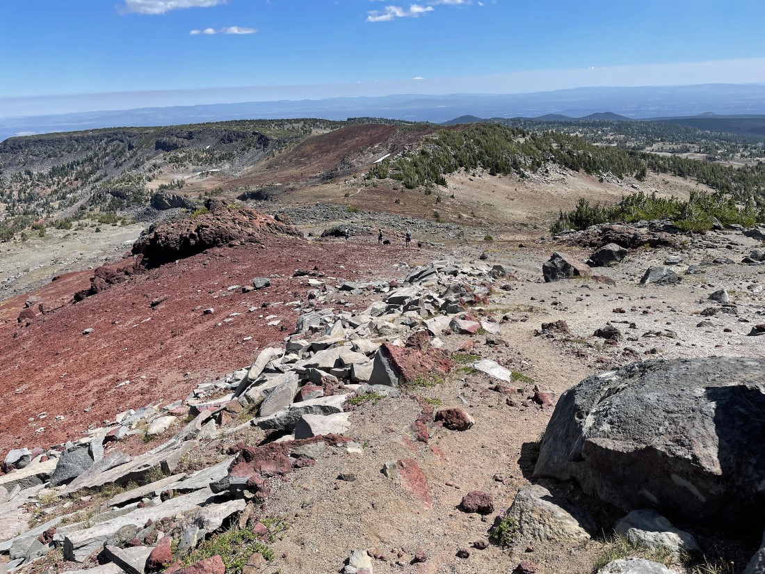
The variety of color is amazing!... truly the palette of an artist.
|
We have left the summit of Broken Hand West and are tracing our steps back toward Broken Hand.
|
Preparing to trace our steps along the north side of Broken Hand.
|
We have passed Broken Hand and will continue tracing our steps back to the car.
|
Looking back at Broken Hand (left foreground), Broken Top, Broken Hand West and South Sister.
|

Continuing to trace our steps back along Tam McArthur Rim as we head for our car.
|
Continuing to trace our steps back along Tam McArthur Rim as we head for our car.
|
One last look at Broken Top and the Three Sisters before losing our view.
|

Almost back to our car... the total hike was 10.8 miles, gaining 2242 feet of elevation.
|
