Valhalla Dome - 12.19.2022
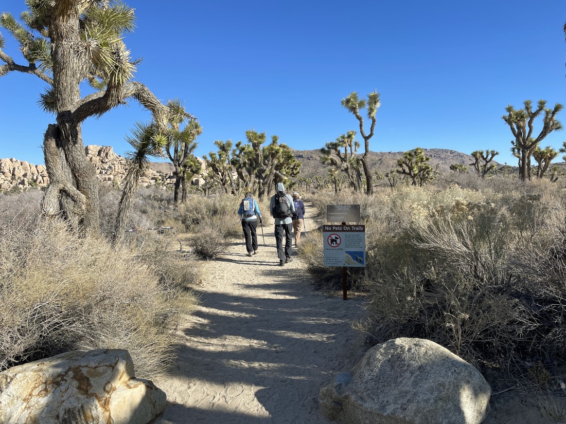
We parked at the unpaved parking lot for the Wall Street Mill Trailhead. This unpaved parking lot is located a quarter mile NE of the paved parking lot for Barker Dam.
|
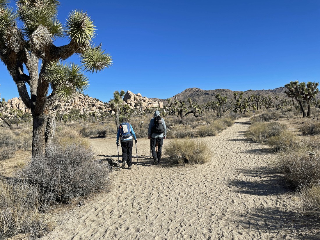
The Wall Street Mill Trail splits after hiking an eighth of a mile... the trail to the right goes on out to the Wall Street Mill... we will take the left fork and head over to the Pink House.
|
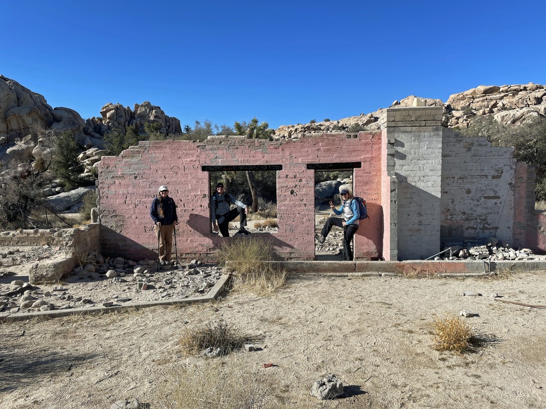
It didn't take very long to reach the Pink House... also known as the 'Wonderland Ranch' and 'Worth Bagley Homestead'.... Star Dancer and Crazy Horse have joined me and Denali Girl on this hike.
|

From the Pink House we have entered the 'Wonderland of Rocks' from the south.
|
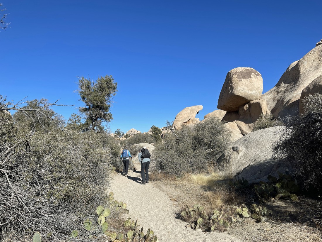
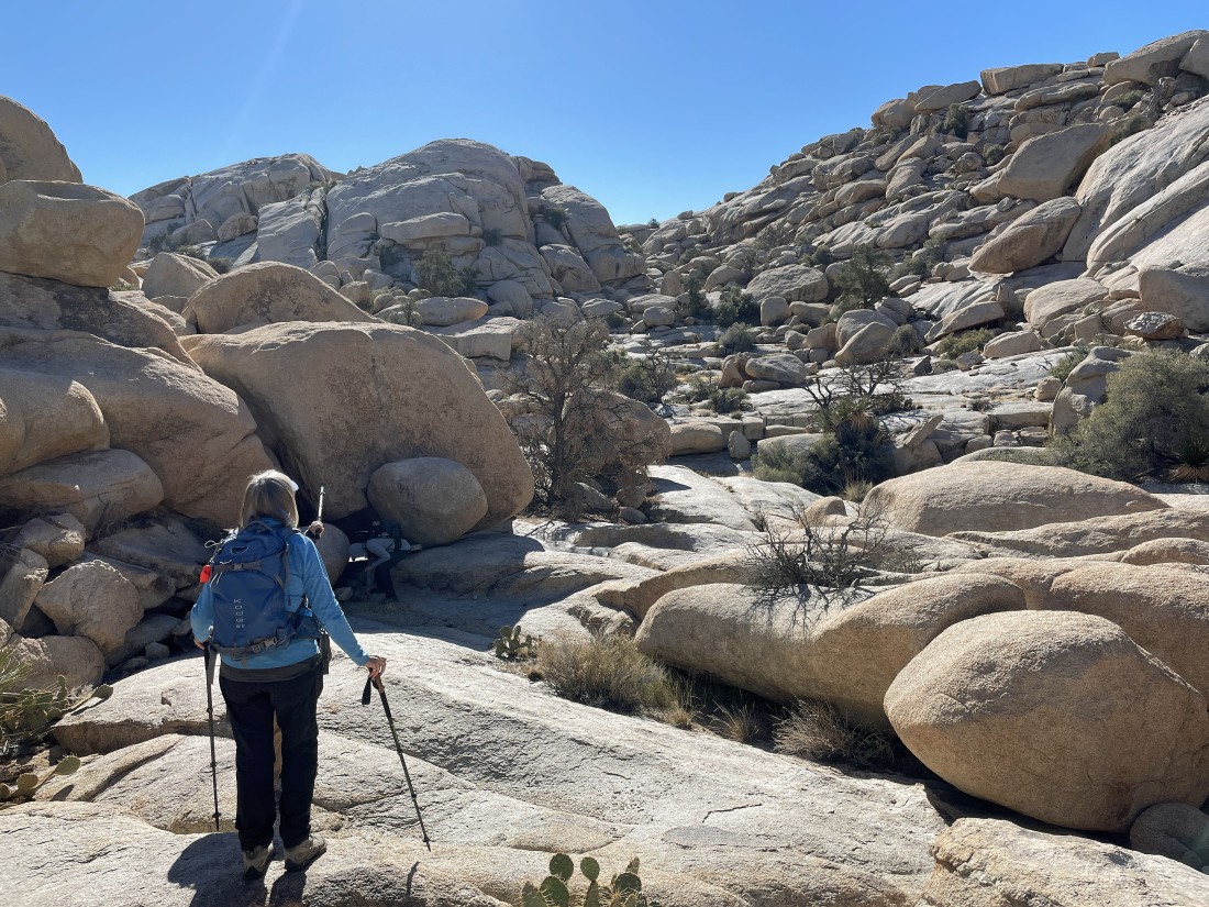
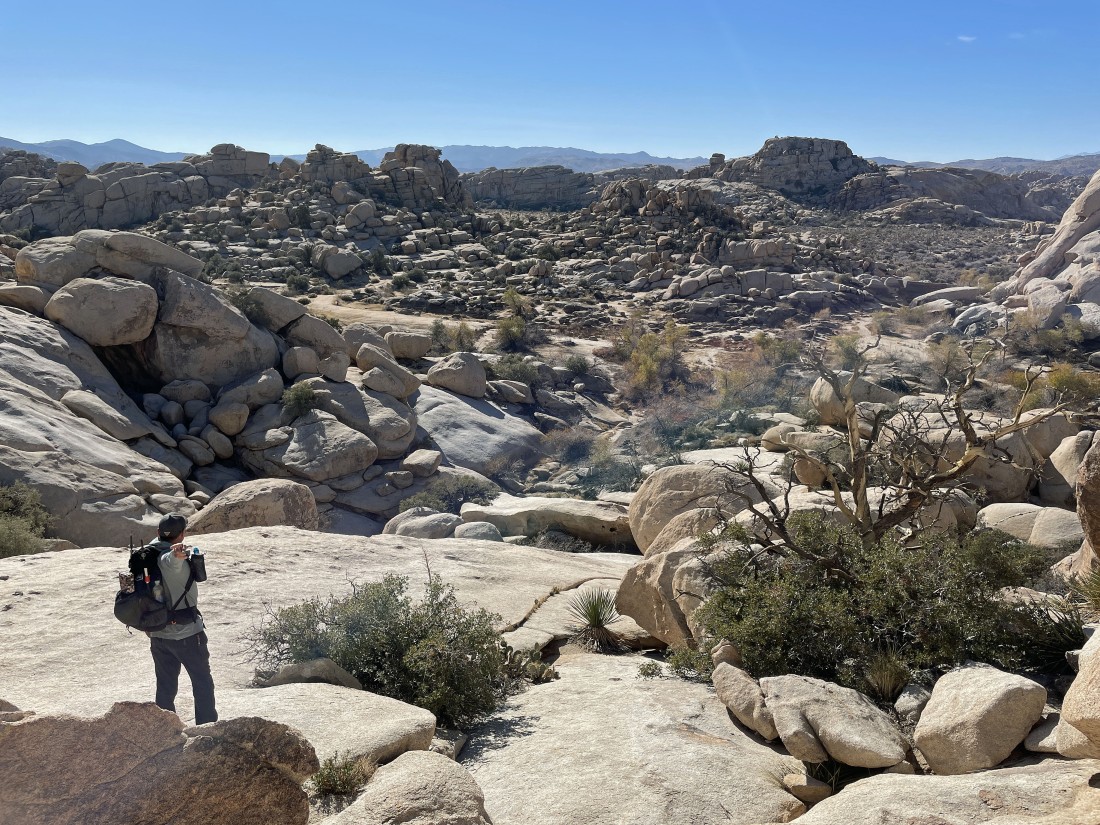
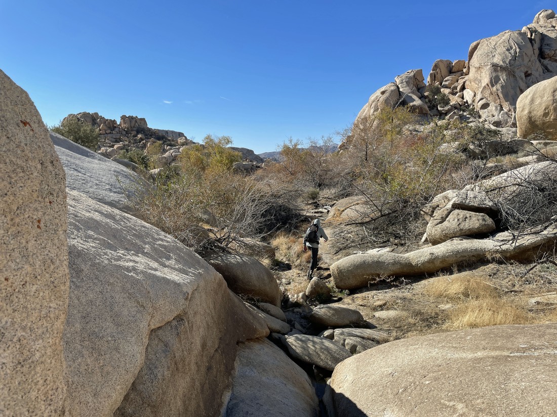
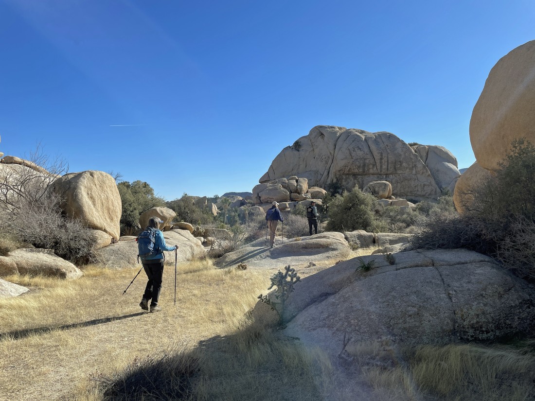
The Wonderland of Rocks is a bit narrow for the first half-mile... and we can see the 'Shark Rock' out there in the distance.
|
The Wonderland has opened up after hiking a half-mile and the South Astro Dome really stands out in the distance... this is where we will turn to the west after hiking .8 miles and fairly quickly start hiking to the south.
|
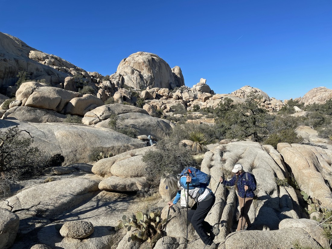
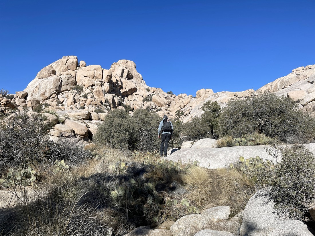
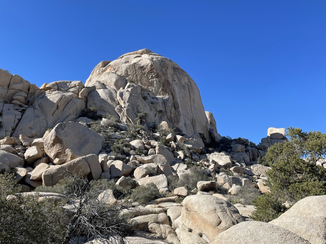
Hiking south now... Valhalla Dome is up there on the right somewhere... so lets find a route.
|
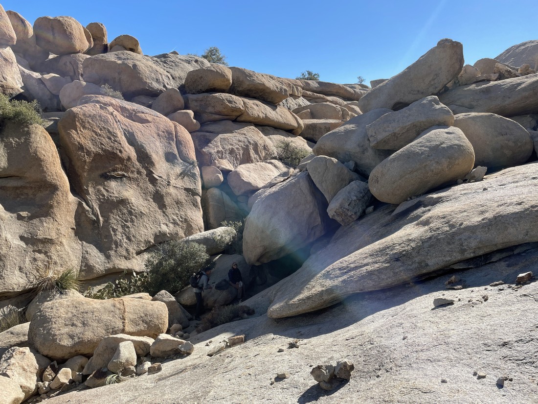
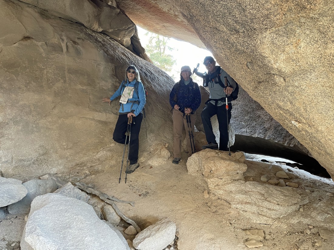
Crazy Horse and Star Dancer have found a little cave.
|
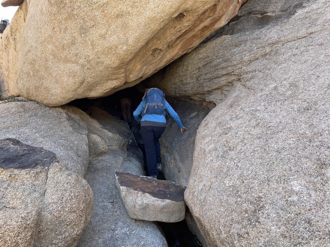
Denali Girl enters the little cave.
|
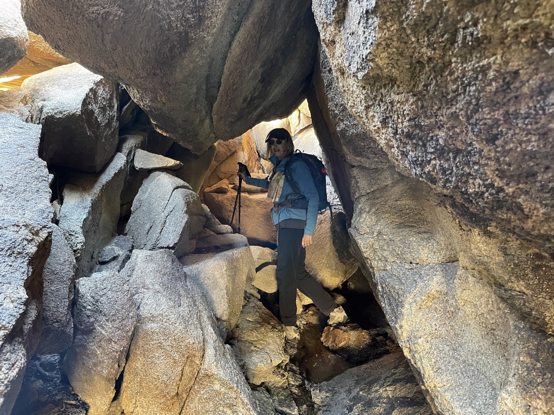
Denali Girl heads into the cave.
|

Denali Girl leaves the cave.
|
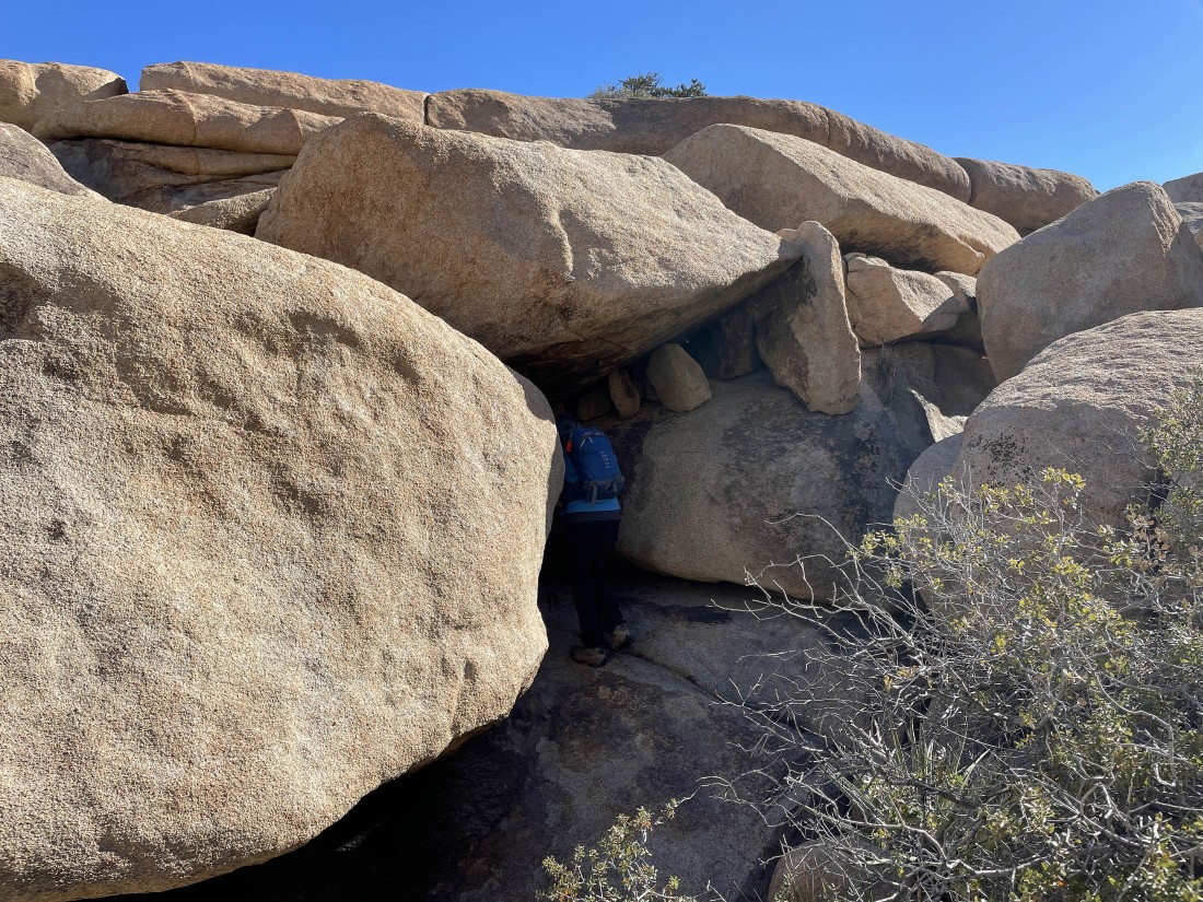
Another cave.
|
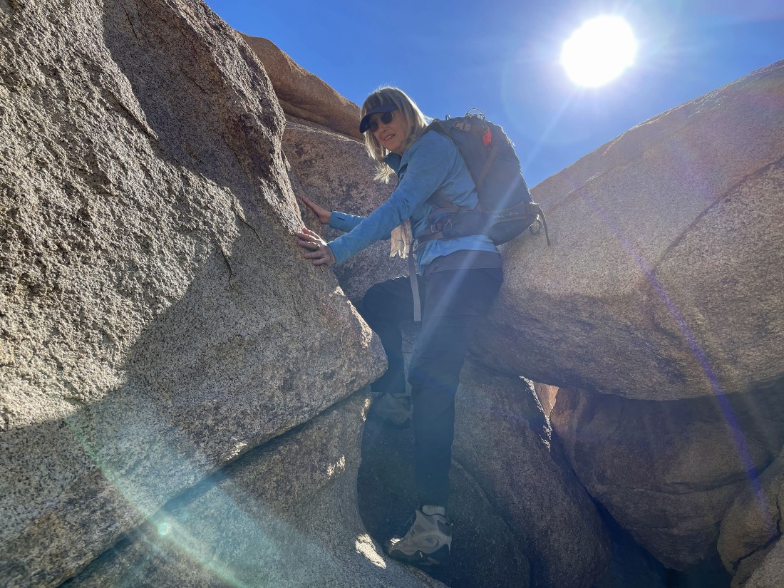
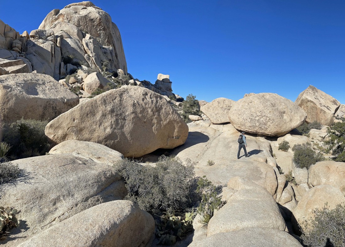
Leaving the cave... the crux move of the hike.
|
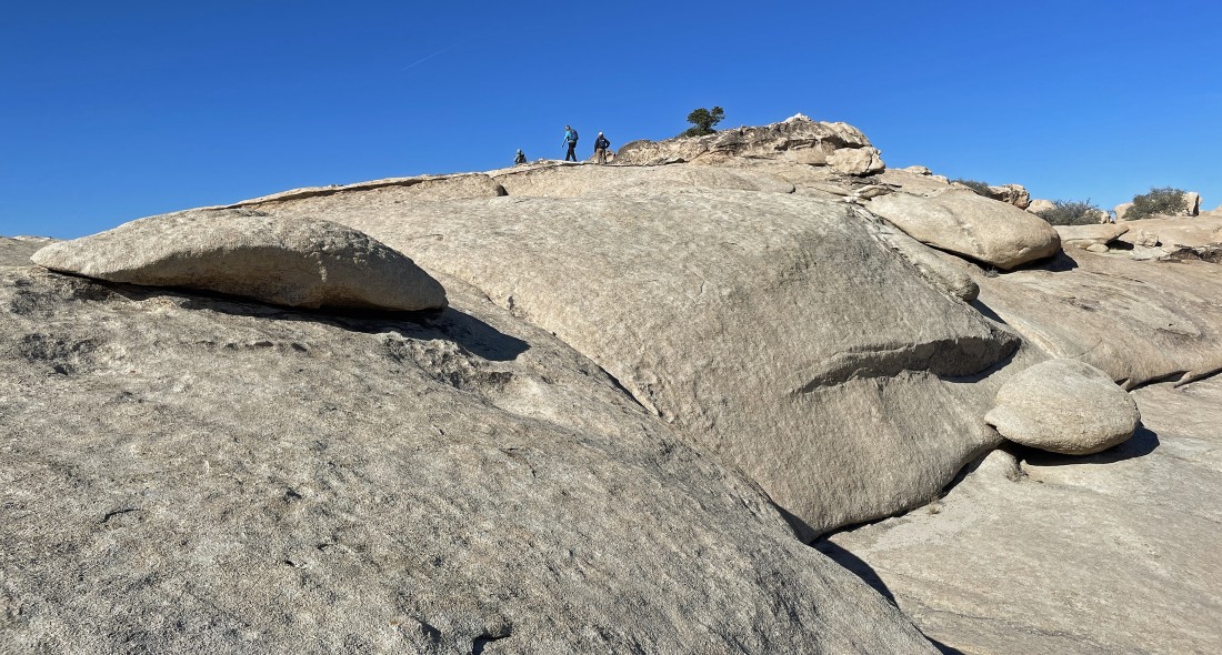
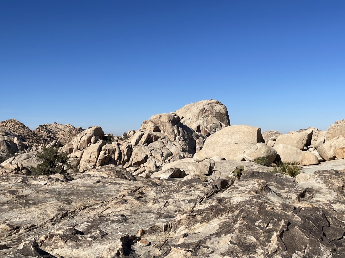
The gang is close to the summit (4502') of Valhalla Dome.
|
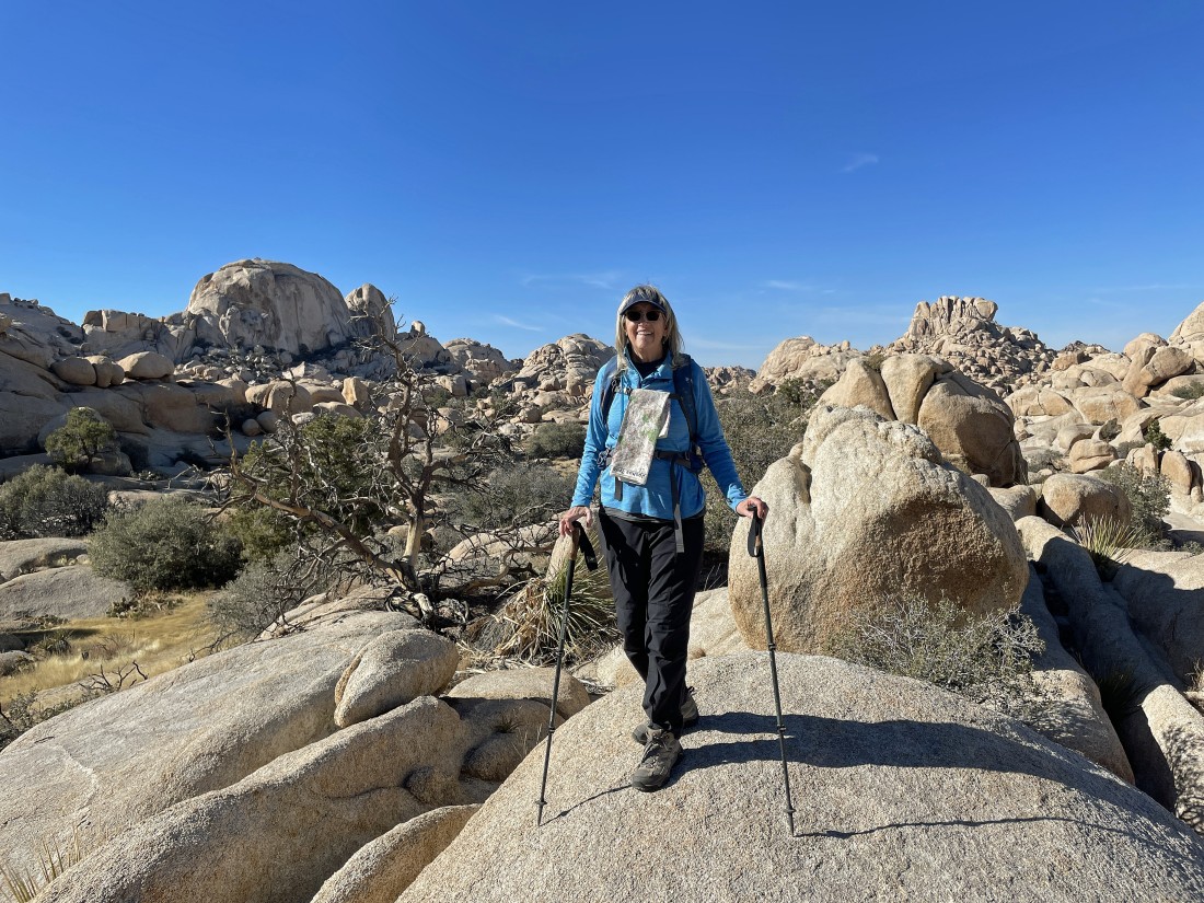
After hiking a total of 1.3 miles I'm standing on the summit of Valhalla Dome... looking north to the South Astro Dome in the left center of the photo. The Valhalla Dome summit is on the border of Riverside County and San Bernardino County... and we crossed the border of these two counties 6 times on this hike.
|
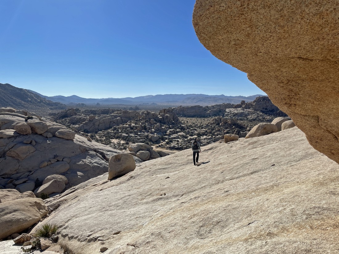
A closer look at the South Astro Dome as we leave the Valhalla Dome summit area and head down toward Barker Lake.
|
Crazy Horse leads the way down to Barker Dam and Barker Lake.
|
Getting closer to Barker Lake... but there is no water down there.
|
After hiking a total of 1.7 miles Crazy Horse has reached the dry Barker Lake.
|
Time to head north again in what I would call the Barker Lake Wash... heading toward South Astro Dome which is not in the photo.
|
After hiking a total of 2 miles we got this nice view of the South Astro Dome... with the famous 'Don Juan Boulder' on the far right edge of the photo.
|
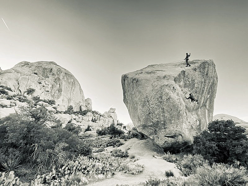
Not sure when this photo was taken... but you can see two climbers on the 'Don Juan Boulder'... with the South Astro Dome on the left.
|
Leaving the Don Juan Boulder area... looking back at the South Astro Dome and heading south for the second time today.
|
Continuing to hike south for the car... here looking back to the north at the two Astro Domes on the left... with 'The Camel' on the right horizon.
|

Another nice cave as we head for the car.
|
Continuing to hike south out of the 'Wonderland of Rocks'.
|
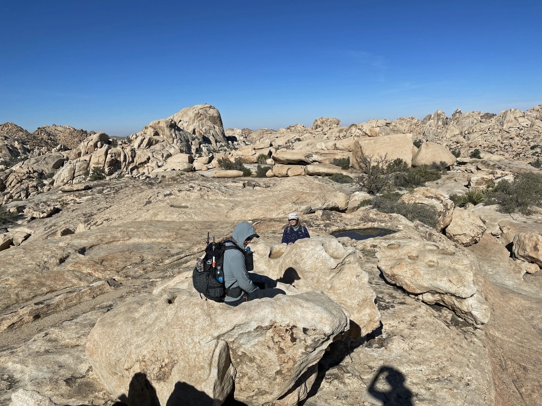
Taking a break before exiting the Wonderland.
|

Out of the Wonderland and almost back to the car.
|

No... this is not our car... probably belonged to the Worth Bagley family.
|
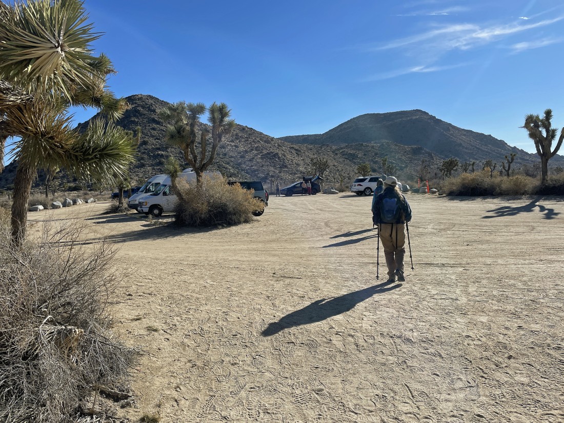
Back to the unpaved parking lot for the Wall Stree Mill Trailhead... the total hike was 3.7 miles, gaining 405 feet of elevation... no, it isn't a lot of elevation gain, however, there was a lot of scrambling and bouldering.
|
