Crown Prince Lookout - 12.26.2022
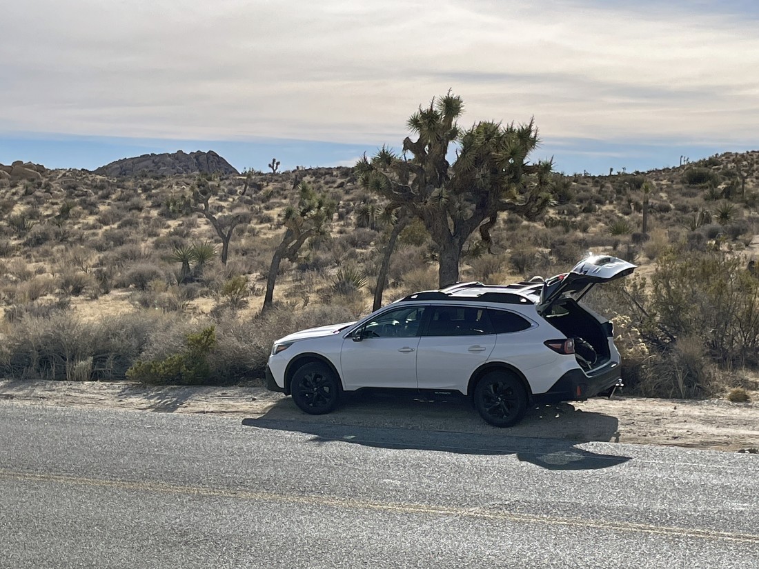
We parked on the side of the Park Blvd Road in Joshua Tree National Park... approximately an eighth of a mile west of the entrance to the Jumbo Rocks Campground... this photo is slightly enlarged and you can see the Crown Prince Lookout rock formation out there on the left horizon.
|
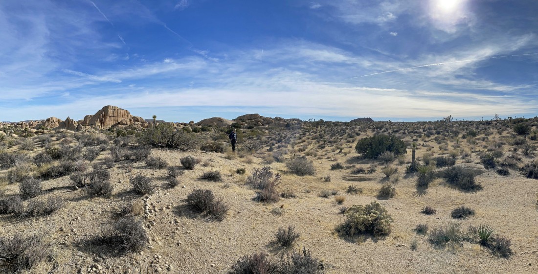
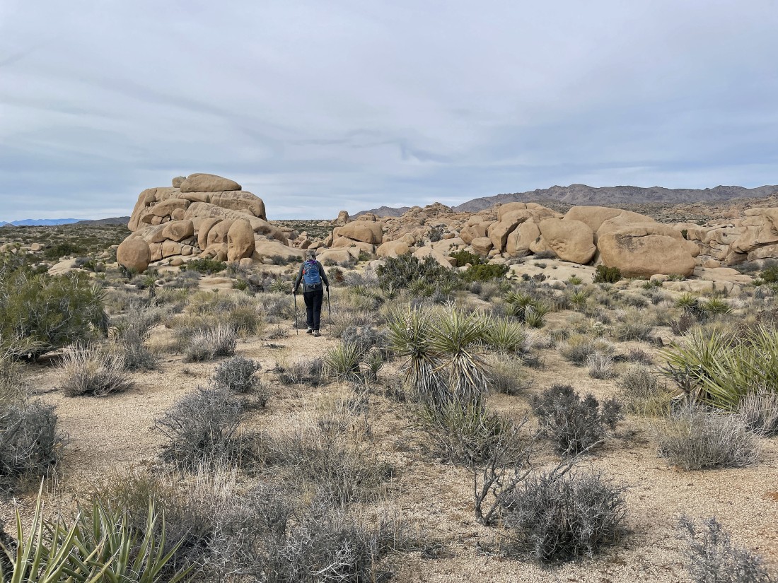
We have left the car and are heading for Crown Prince Lookout on the right center horizon.
|

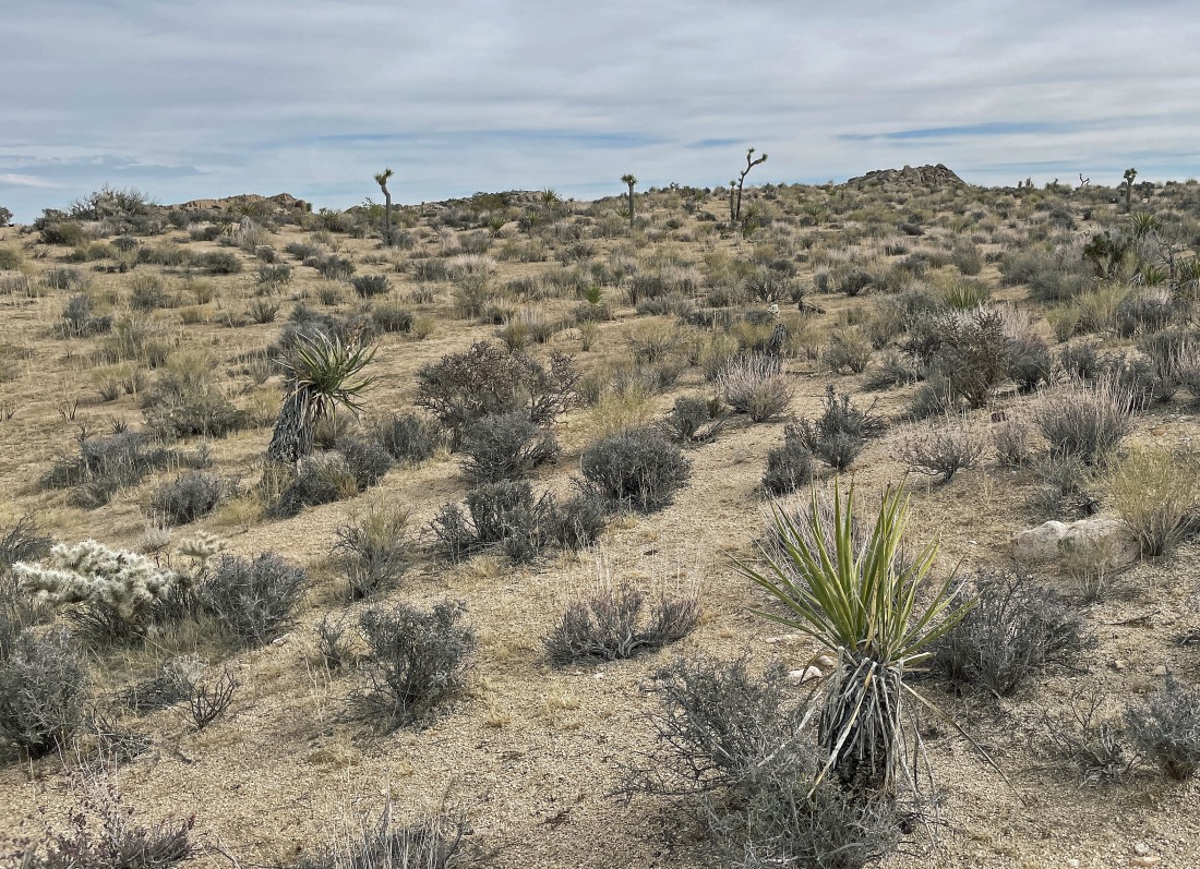
Getting closer to Crown Prince Lookout.
|
After hiking .8 miles we have reached the NE end of Crown Prince Lookout.
|
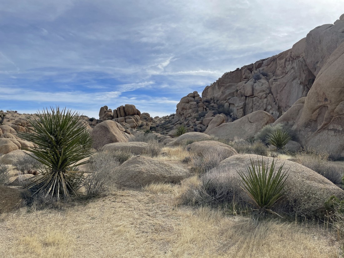
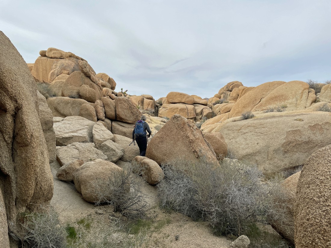
Starting to hike along the NE side of Crown Prince Lookout.
|

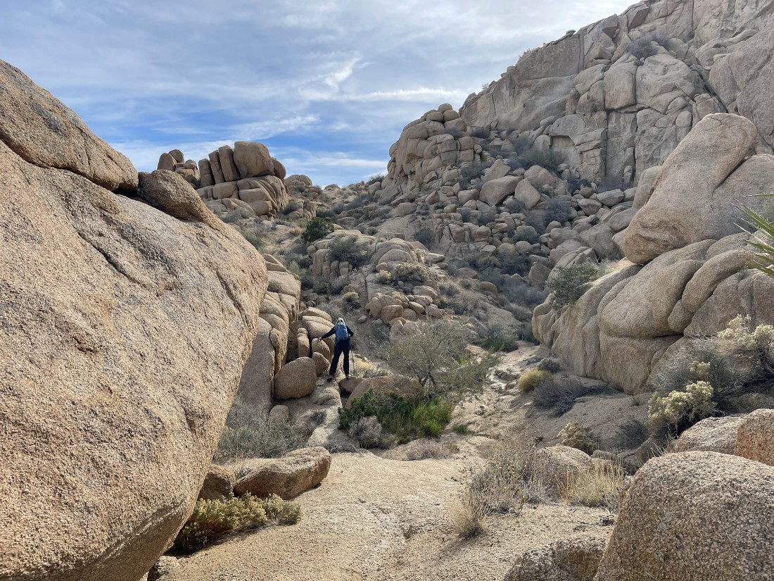
After hiking 1 mile we have reached the scramble route on the NE side of Crown Prince Lookout.
|
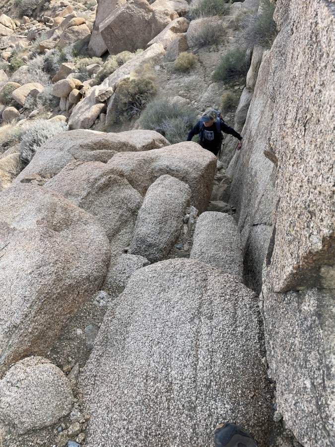
Denali Girl begins the scramble route.
|
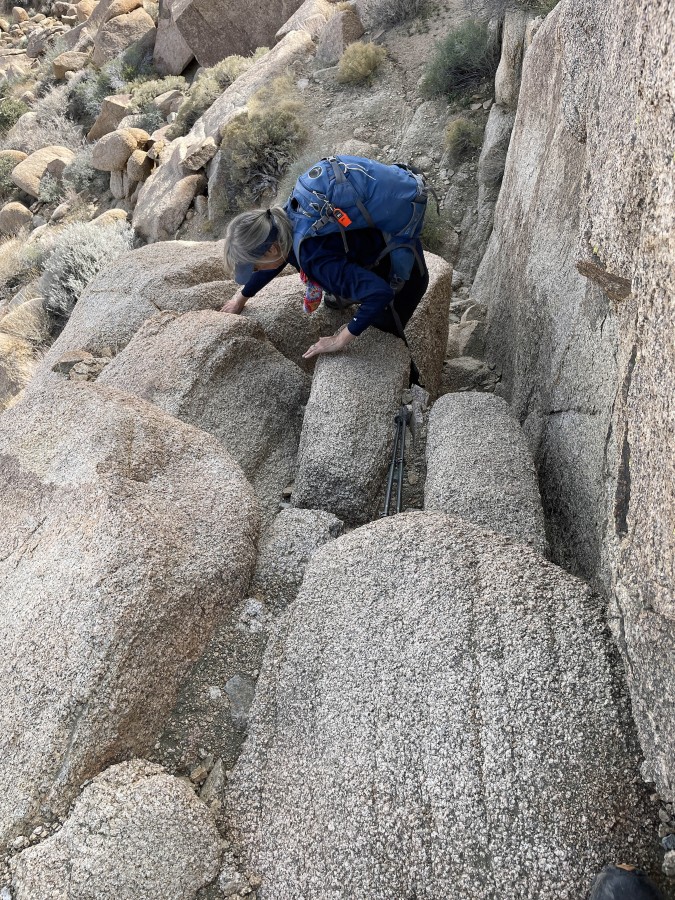
Almost done with the scramble... this short scramble is the crux of the trip.
|
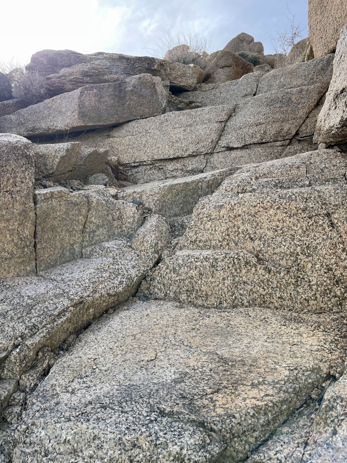
After the scramble there is a natural staircase.
|

Above the natural staircase and continuing up.
|
|
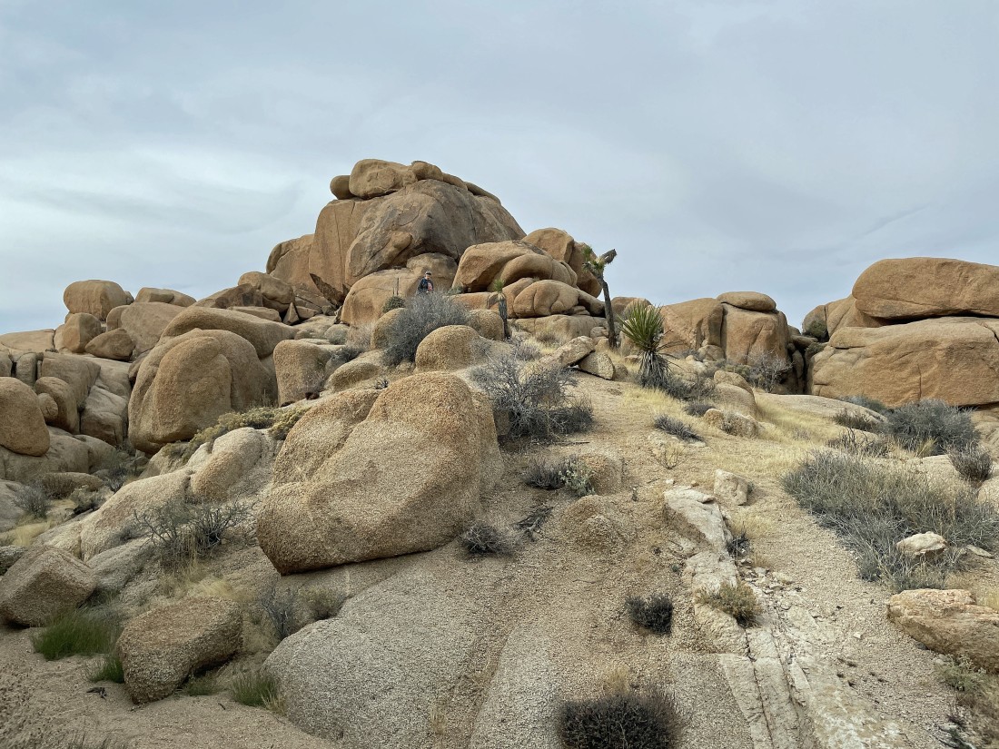
Now we can see the summit out there in the middle of the photo.
|
Denali Girl nears the summit of Crown Prince Lookout.
|
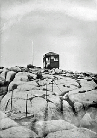
In February, 1943, the lookout was built by the Army as a World War II aircraft warning station.
|
After hiking 1.1 miles we are on the summit (4581') of the Crown Prince Lookout... here looking SE (left) to the Pinto Mountains and Pinto Basin... south to the Hexie Mountains in the right foreground... and SW (far right) to part of the Little San Bernardino Mountains.
|
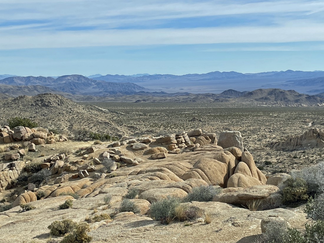
A closer look at the Pinto Mountains (left) and Pinto Basin (center).
|
|
Denali Girl is looking NW toward the 'Wonderland of Rocks'... with Ryan Mountain and Lost Horse Mountain to the west in the center of the photo... and NW to part of Queen Mountain on the far right.
|
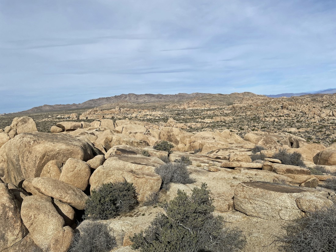
Looking north to Queen Mountain.
|
Heading back down... looking over at Point 4558 which is shown as 'Prospect' on the USGS Map... probably because there are at least 3 abandoned mines in the rocks.
|
Coming down the scramble portion of the trip.
|
Heading back to the car and looking back at Crown Prince Lookout.
|
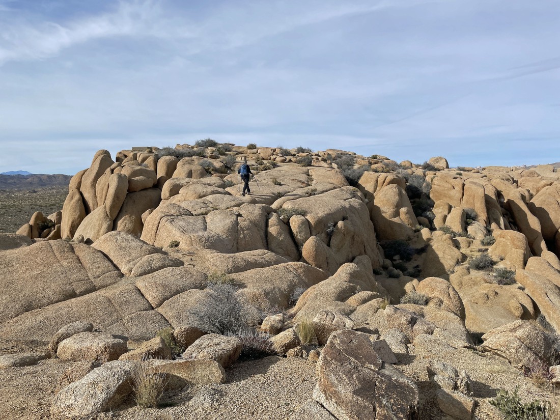
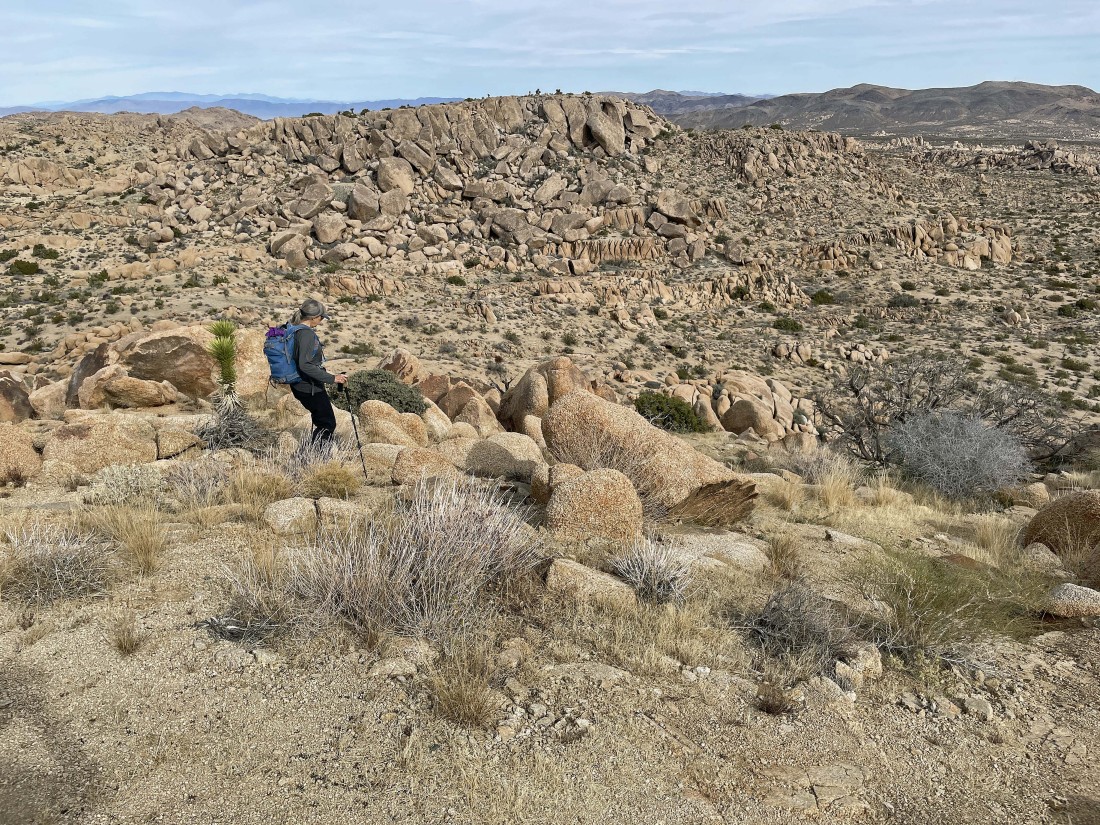
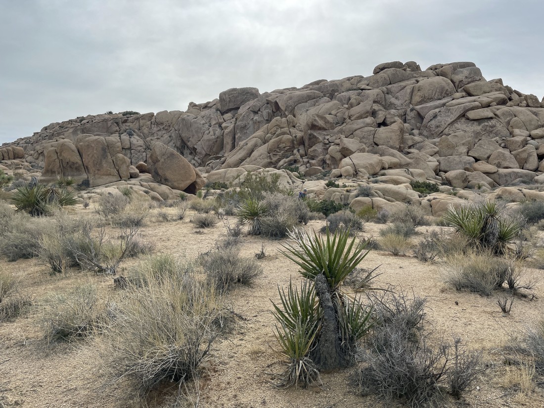
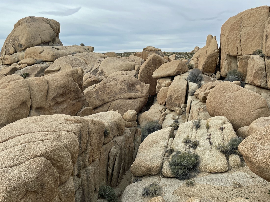
Denali Girl leads me over to some rock formations.
|

Taking Denali Girl's route back to the car.
|
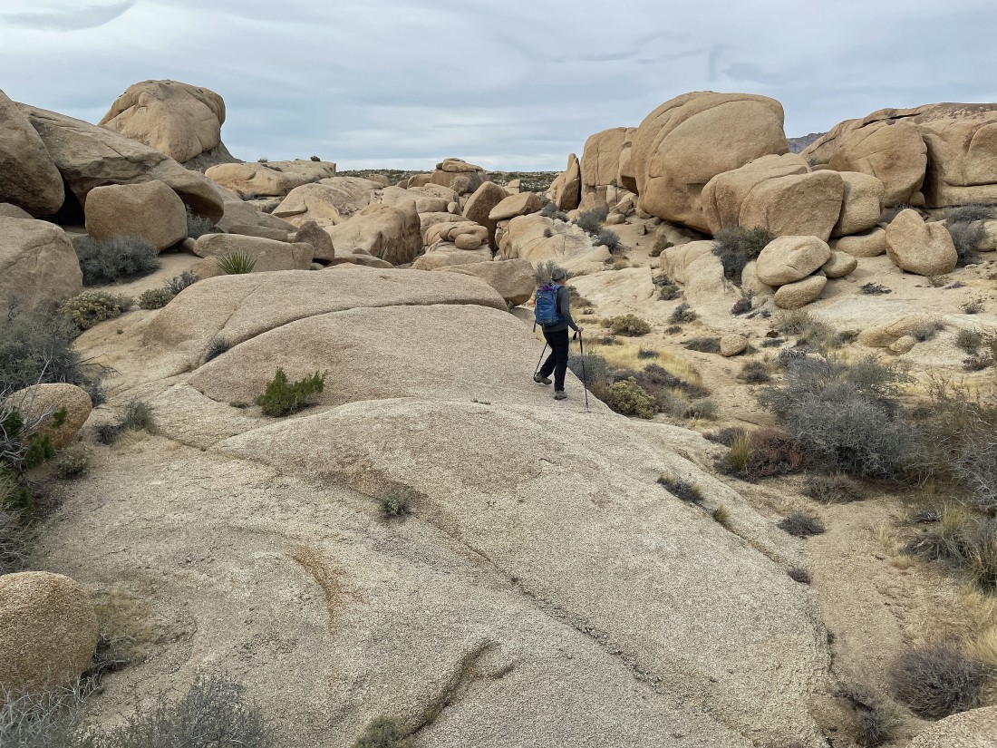
Taking Denali Girl's route back to the car.
|
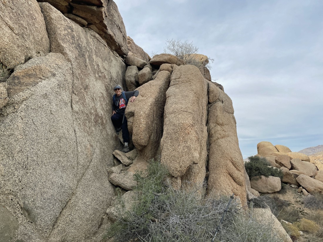
Denali Girl says that we are going to go through this narrow passage.
|
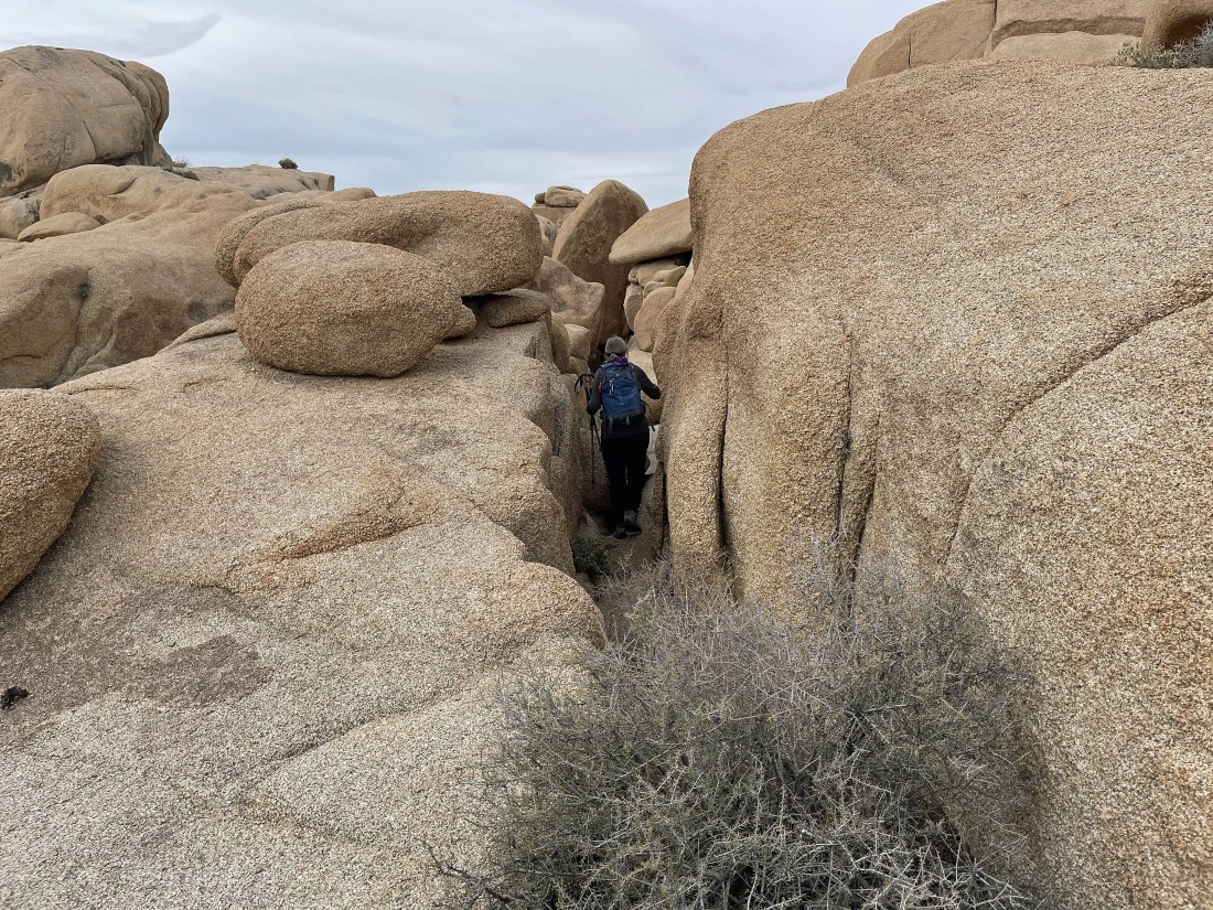
Denali Girl's narrow passage through the rocks.
|
Denali Girl's narrow passage through the rocks.
|
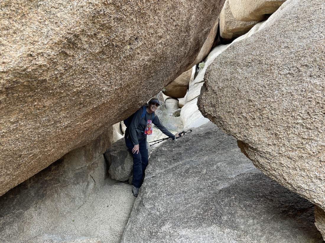
Make yourself small.
|

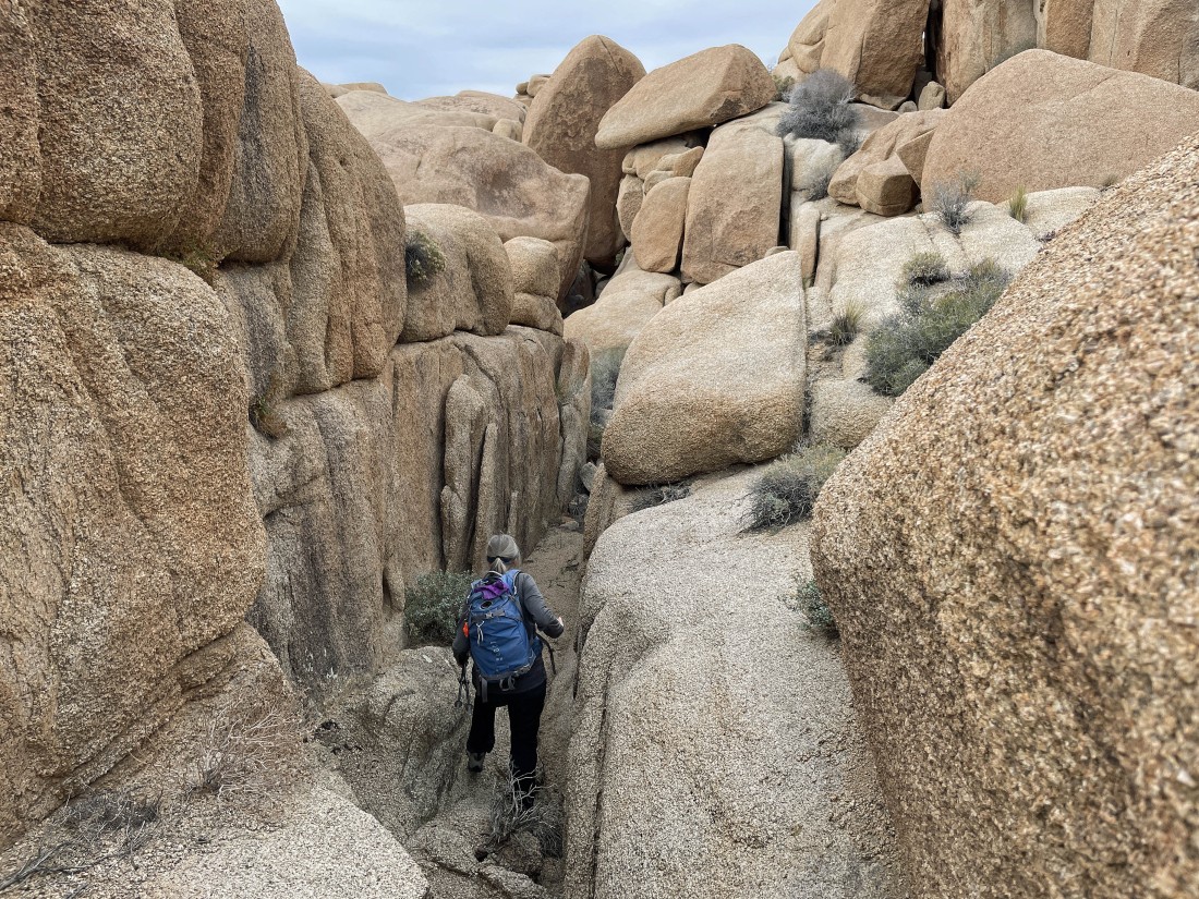
Denali Girl's narrow passage through the rocks.
|
Denali Girl's route through the rocks.
|
Denali Girl's route through the rocks.
|
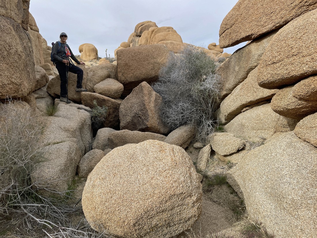
Denali Girl's route through the rocks.
|
Out of the rocks now... looking back where we came from... but I don't know where we exactly came out of the rocks.
|
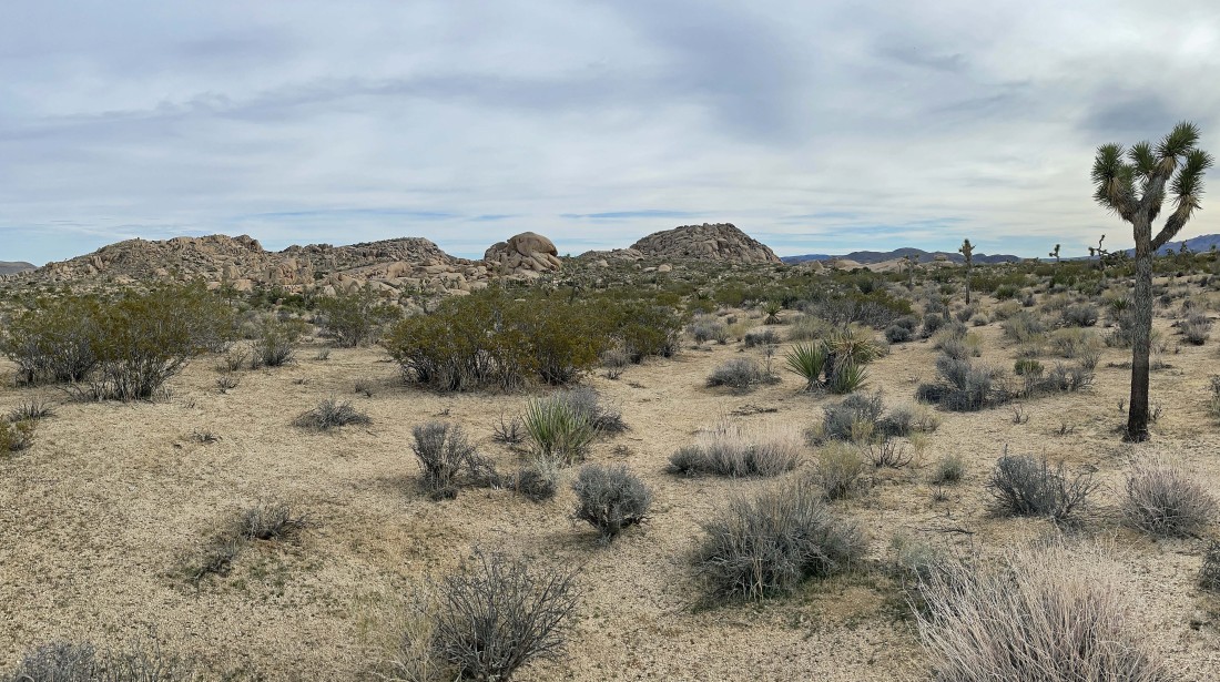
Back in the open desert now... here looking back at the Crown Prince Lookout in the center of the photo.
|
Almost back to the car... with Crown Prince Lookout on the far right horizon.
|

We have a quarter mile left to reach the car... the hike was a total of 2.3 miles, gaining 247 feet of elevation.
|
