Warren Peak and Panorama Peak - 1.2.2023
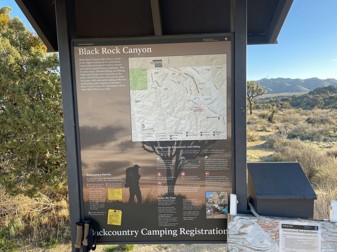
I parked at the Black Rock Canyon Campground in Joshua Tree National Park. This is one of the two dead-end entrances to the park. Indian Cove is the other dead-end entrance.
|

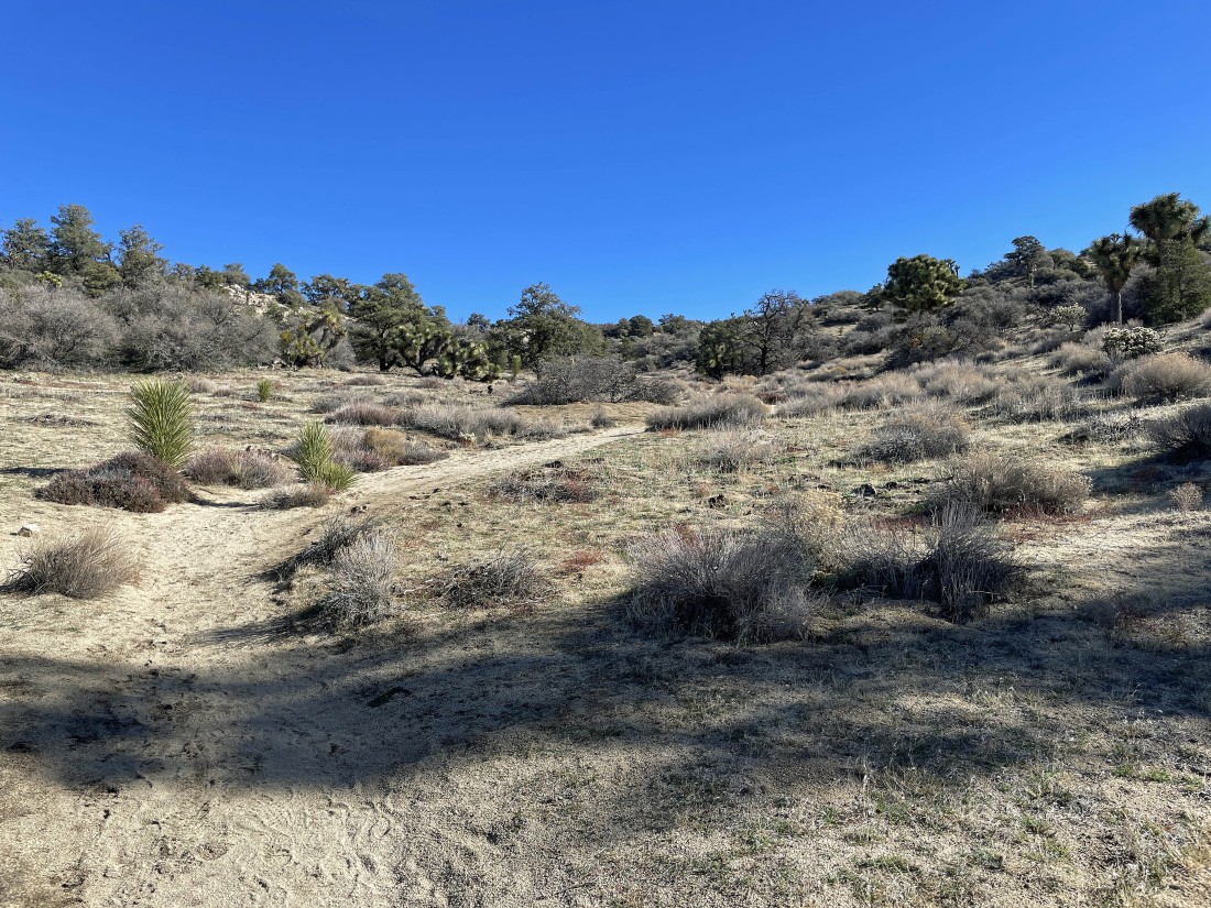
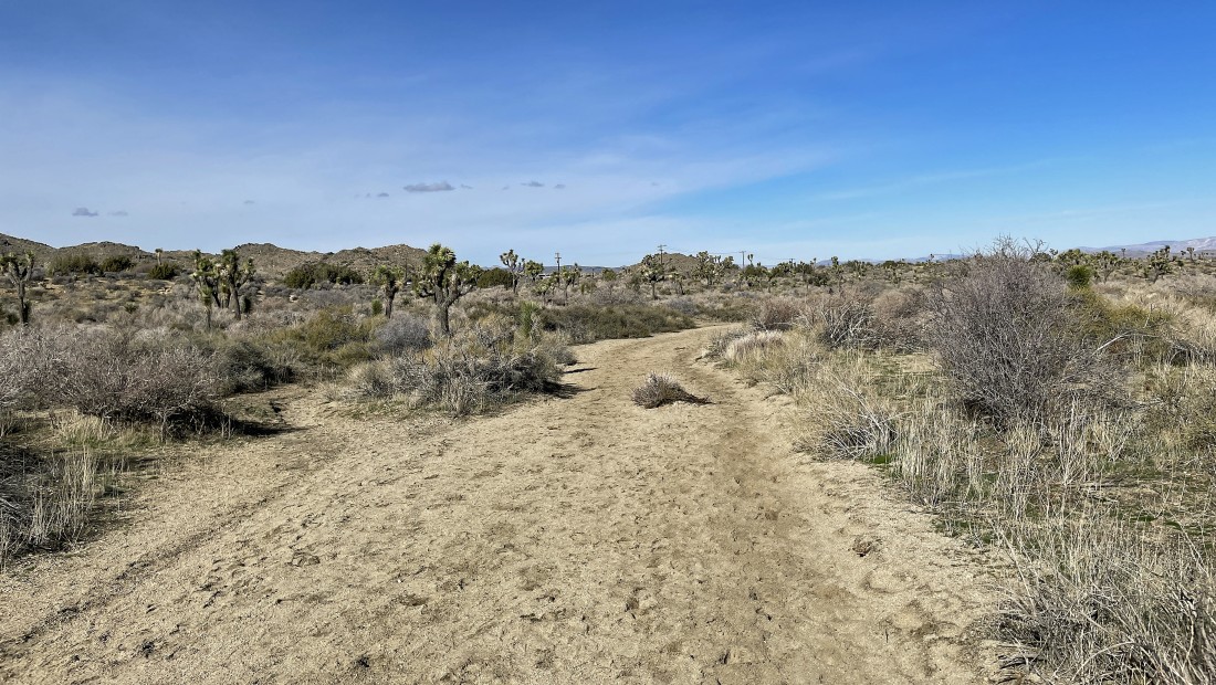
Hiking south on the Black Rock Canyon Trail... 37 degrees at 8:00am... and the wash is kind of frozen... which actually makes it easier to walk on.
|
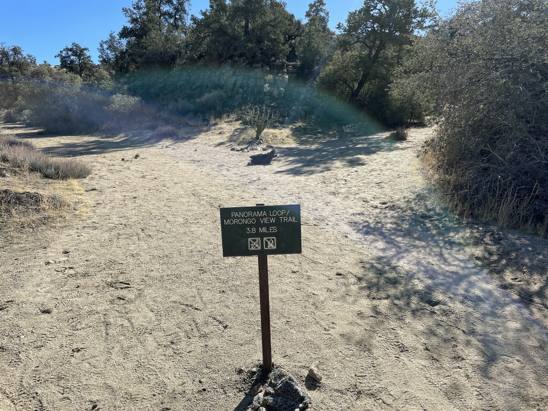
After hiking a total of 1.8 miles I have reached a trail junction for the Panorama Loop Trail... I will go to the right and do Warren Peak before doing the Panorama Loop.
|
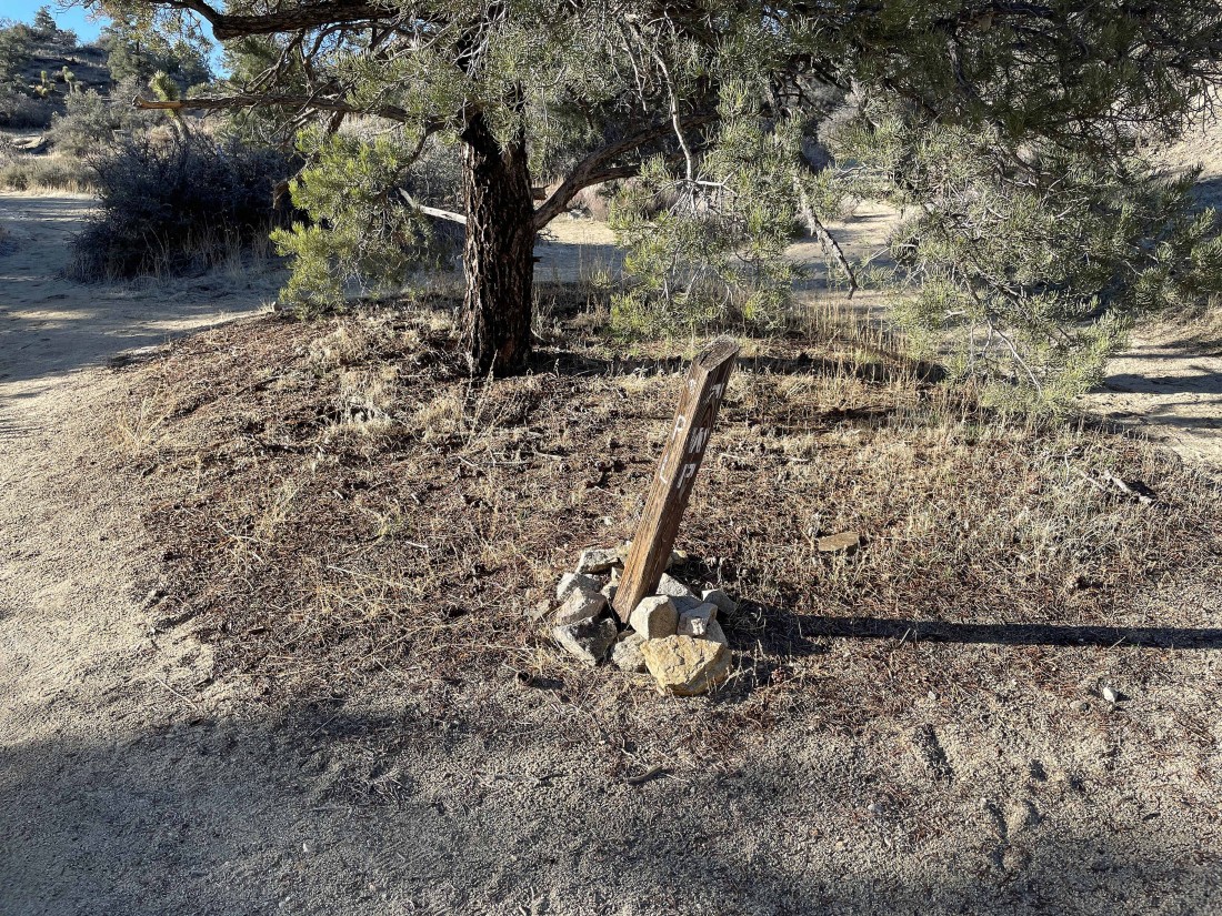
After hiking a total of 2.2 miles I have reached the turnoff for Warren Peak to the right... after doing Warren I will return here and finish up the Panorama Loop.
|
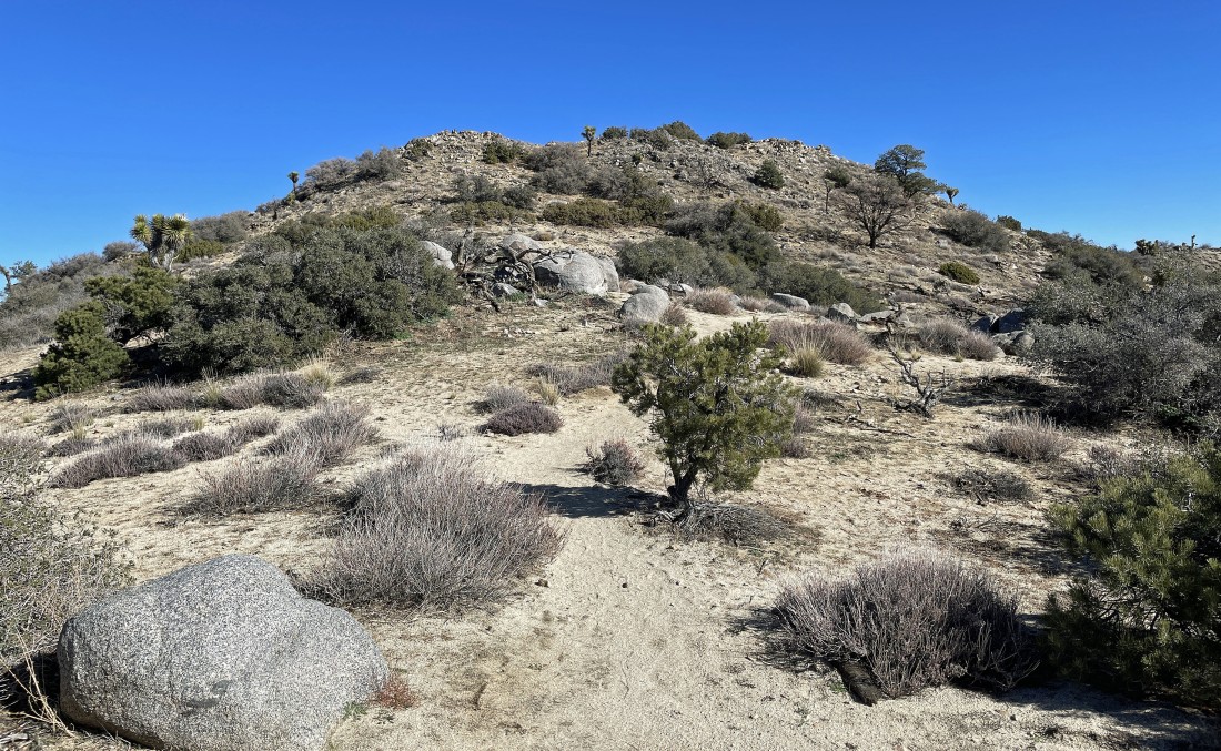
Shortly after the trail junction in the previous photo I got my first look at Warren Peak up there on the horizon.
|
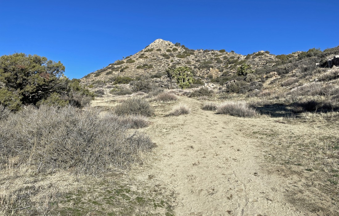
Reeling in Warren Peak.
|
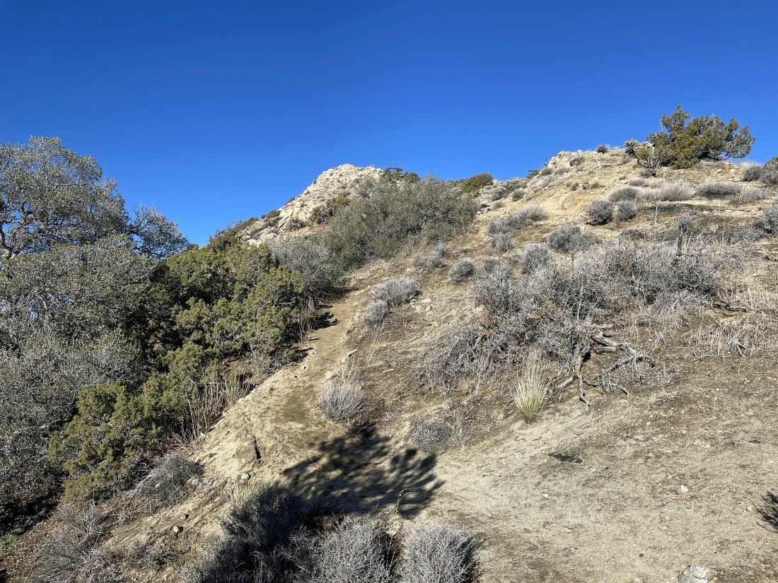
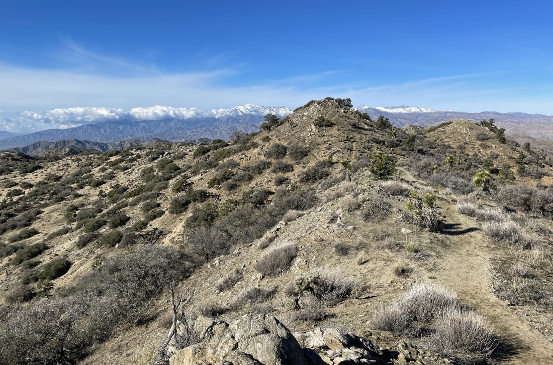
A good trail will get me up to the summit of Warren Peak.
|
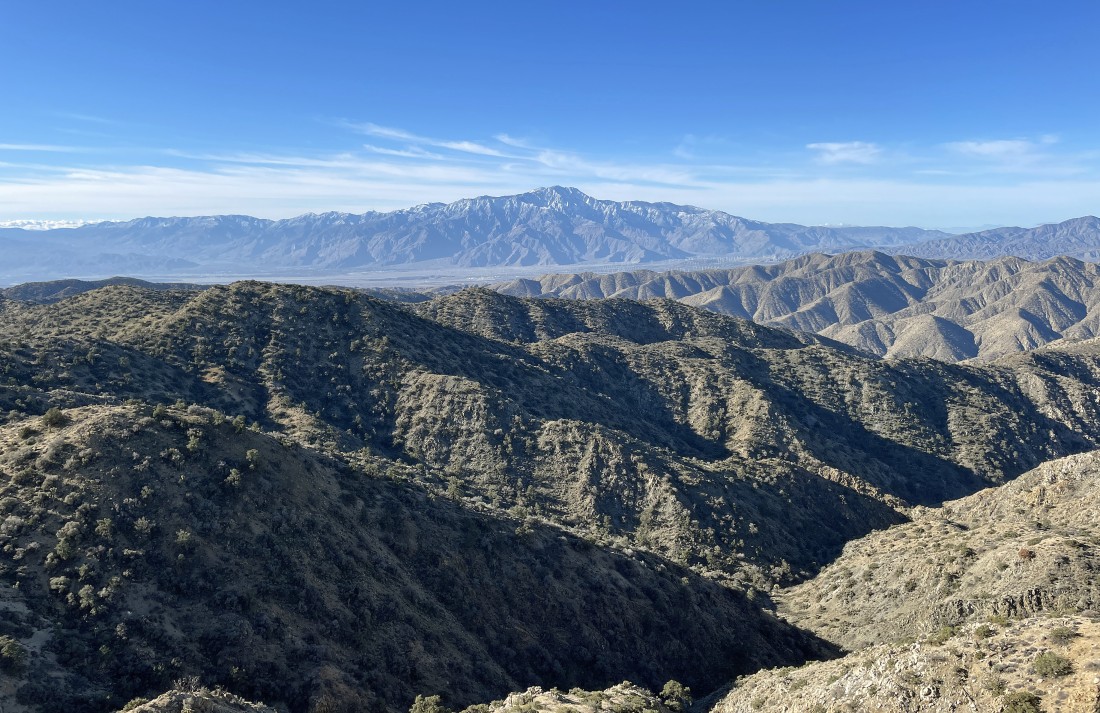
After hiking a total of 2.9 miles I have reached the summit (5103') of Warren Peak... here looking SW across the Little San Bernardino Mountains and Coachella Valley to the Santa Rosa Mountains and San Jacinto Mountains on the horizon... with San Jacinto Peak (10,834') the high point on the horizon.
|
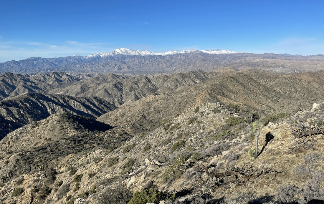
Looking NW from the Warren Peak summit... across the Little San Bernardino Mountains to the San Bernardino Mountains which houses San Gorgonio Mountain (11,503'), the highest peak in Southern California.
|
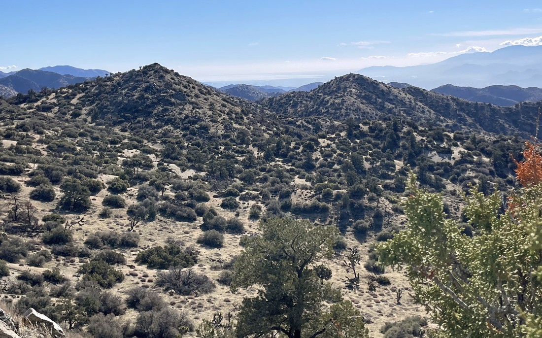
A summit pano shot... looking beyond the Little San Bernardino Mountains in the foreground... SE (far left) down toward the Salton Sea... with the Santa Rosa Mountains, San Jacinto Mountains, San Bernardino Mountains and Yucca Valley (far right).
|
|
Happy New Year (okay, I'm a day late) from the Warren Peak summit... with San Jacinto Peak in the distance.
|
I have left Warren Peak... traced my steps back to the junction with the Panorama Loop... and now hiking on the Panorama Loop.
|
Nearing Panorama Peak.
|
After hiking a total of 4.9 miles I am standing on the summit (5195') of Panorama Peak... here looking SE to the Salton Sea... barely visible in the distance between the two bumps in the foreground.
|
A pano shot from the summit of Panorama Peak... with the Santa Rosa Mountains on the far left horizon... then the San Jacinto Mountains... then the San Bernardino Mountains... and finally Yucca Valley on the far right horizon.
|
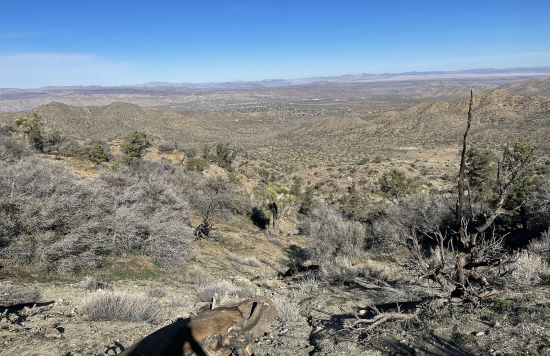
Looking down into Black Rock Canyon from the summit of Panorama Peak... with Yucca Valley in the distance.
|
Continuing to hike the Panorama Loop... here looking back at Panorama Peak with the San Bernardino Mountains on the horizon... with clouds coming in.
|
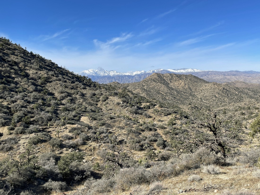
Losing elevation as I continue back down into Black Rock Canyon... here looking beyond Warren Peak to the San Bernardino Mountains on the horizon.
|

After hiking a total of 6.3 miles I have finished up the Panorama Loop... time to trace my steps back down Black Rock Canyon.
|
The trail has thawed out from earlier when I started... and I can see my car... the hike was a total of 8.1 miles, gaining 1752 feet of elevation.
|
