Orocopia Mountain - 1.6.2023
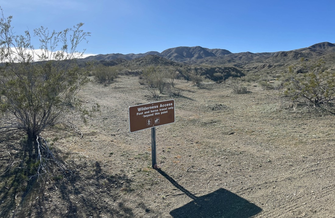
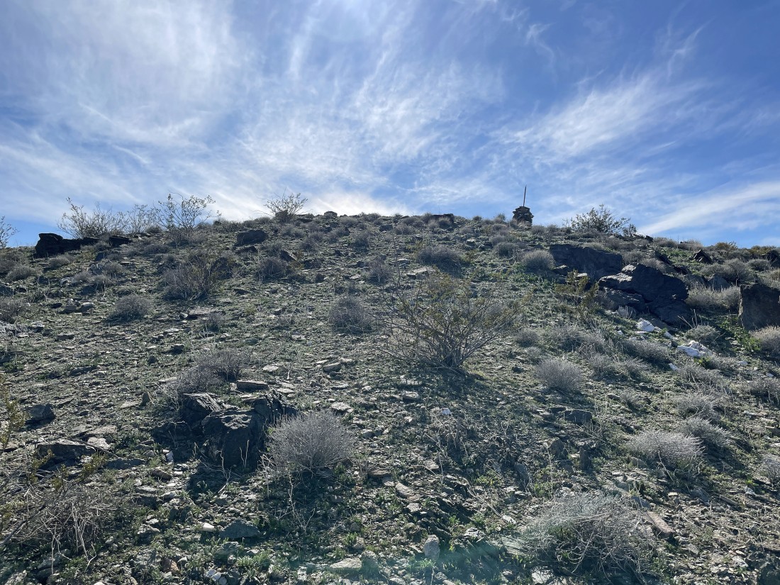
From Exit 168 on Interstate I-10... we drove south on dirt and gravel roads 5 miles to the northern boundary of the Orocopia Mountains Wilderness and began hiking on an abandoned road. Our summit today is pretty much directly above the sign on the horizon... and not the broad high point in the right foreground.
|
Hiking the abandoned road... the Orocopia Mountain summit is not visible in this photo... it is blocked by the little hill in the foreground.
|
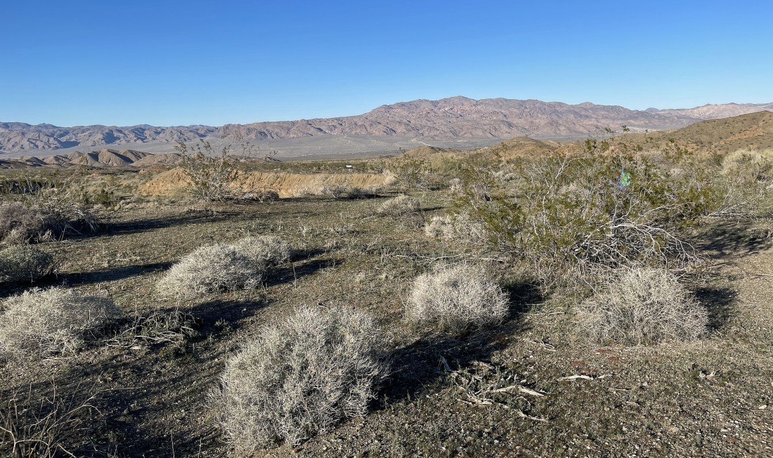
Continuing to hike south on the abandoned road... here looking back to the north from where we came... with the Eagle Mountains on the horizon.
|
Getting close to where we will leave the abandoned road... our summit is barely visible.
|
After hiking a total of 1.1 miles we have left the abandoned road and heading for our summit.
|
|
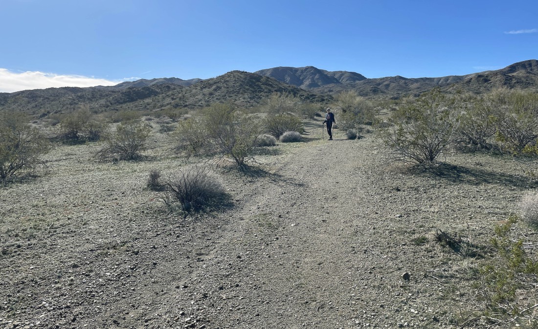
Heading south for our summit... following a fairly good path.
|
Denali Girl took this photo of me on the ridge.
|
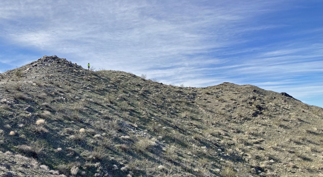
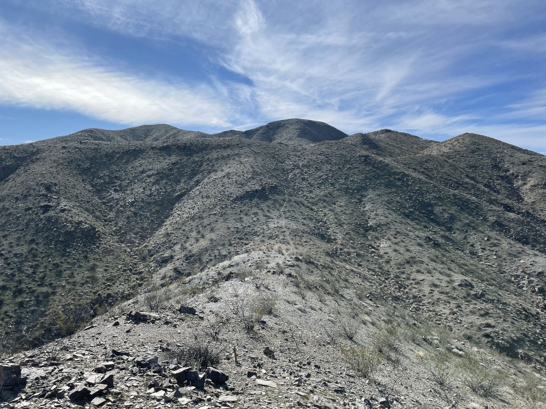
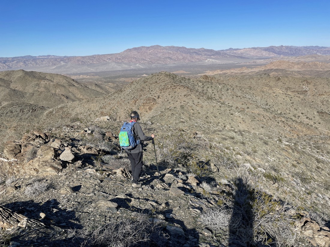
Continuing to hike south on the ridge... and there will be several ups and downs to reach the summit.
|
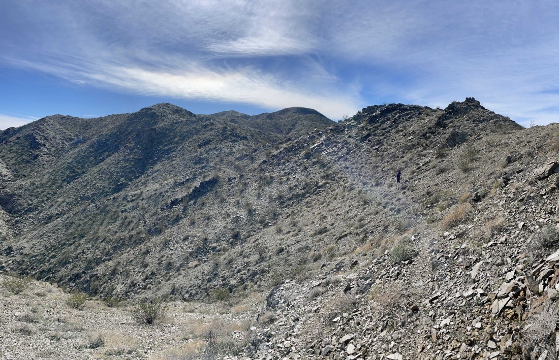
We were able to cut off some of the ridge high points along the way... with our summit up there on the horizon in the center of the photo.
|
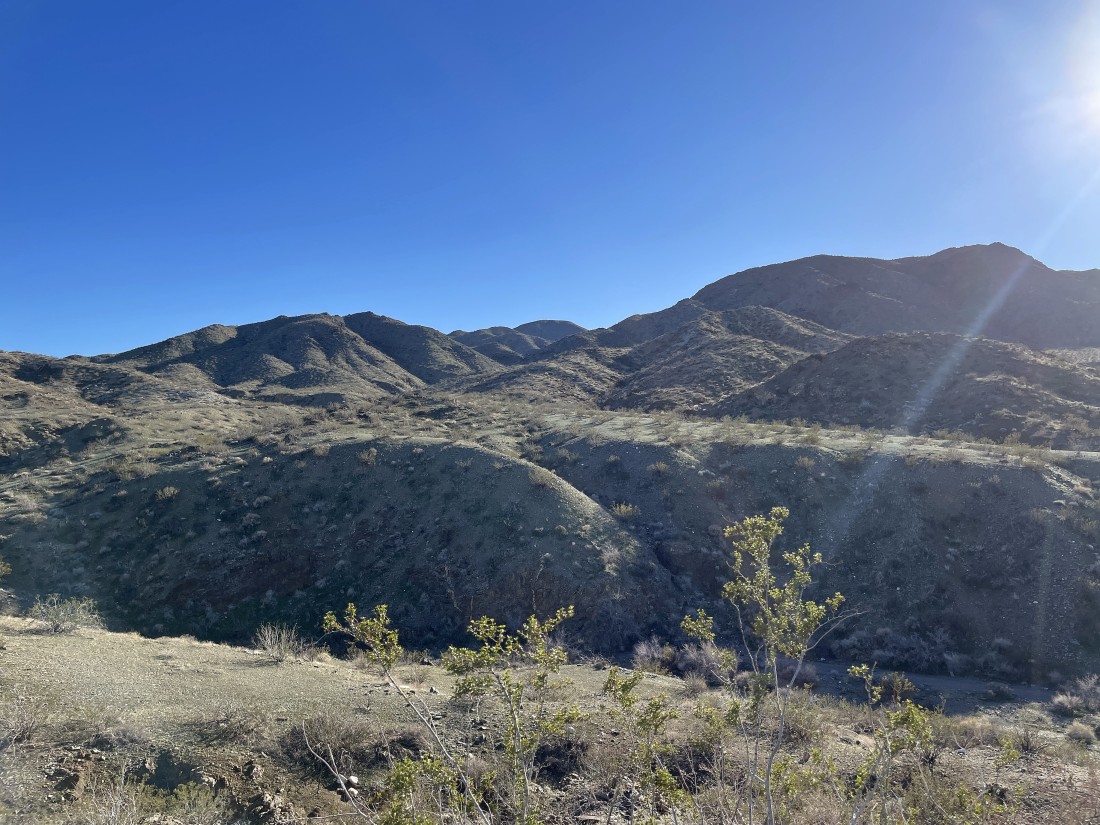
Yes... there will be some ups and downs required to reach the summit.
|
Down here and then back up... heading for the summit in the center of the photo.
|
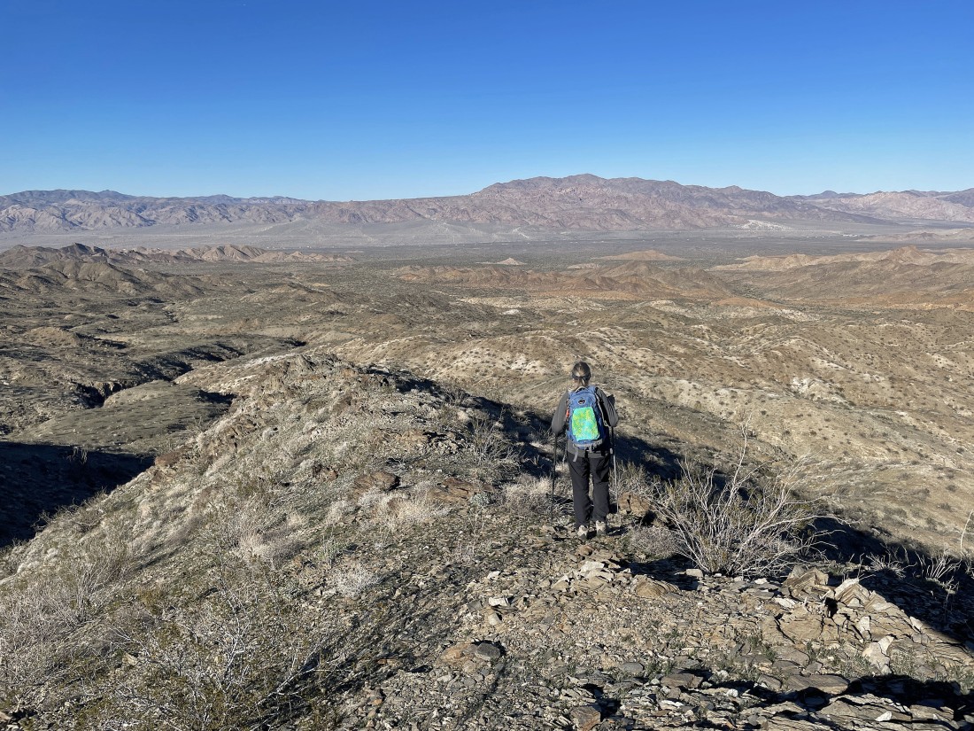
Looking back to the north from where we came... with the Eagle Mountains on the horizon.
|
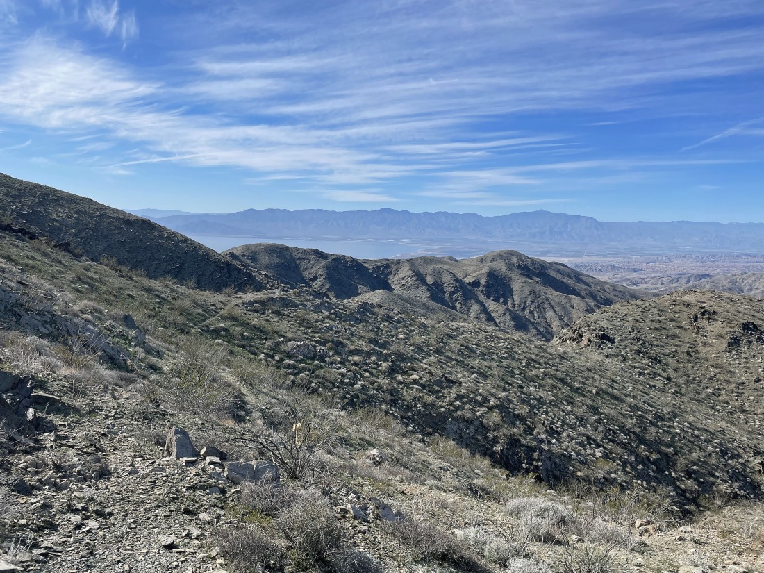
Our first view of the Salton Sea as we see the NW shoreline... with the Santa Rosa Mountains on the horizon... and I have no idea where this trail is coming from.
|
Have to give up a little elevation here... and then no more downs after this one... at least until we trace our steps back to the car.
|
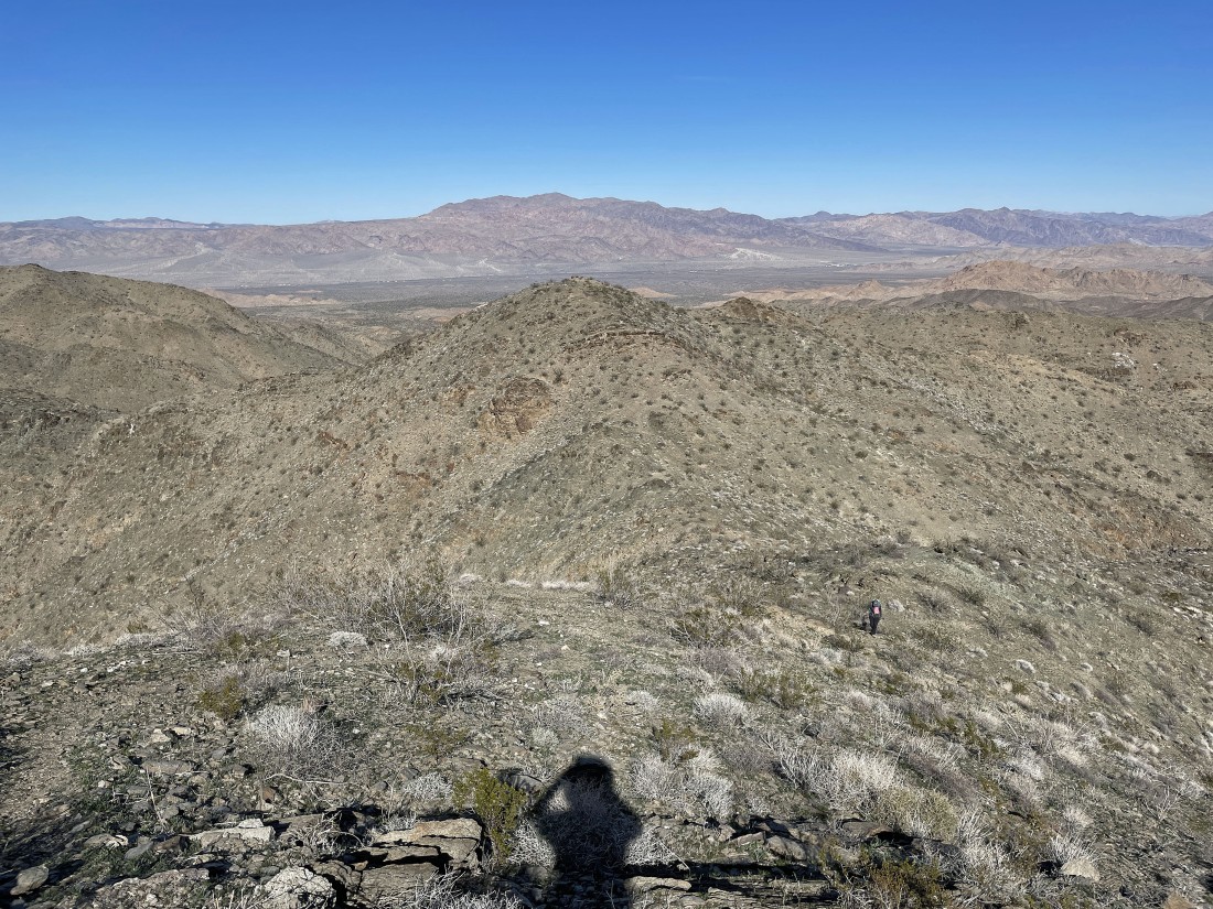
Looking back to the north at the Eagle Mountains on the horizon... you can see Denali Girl coming up from below to join me.
|
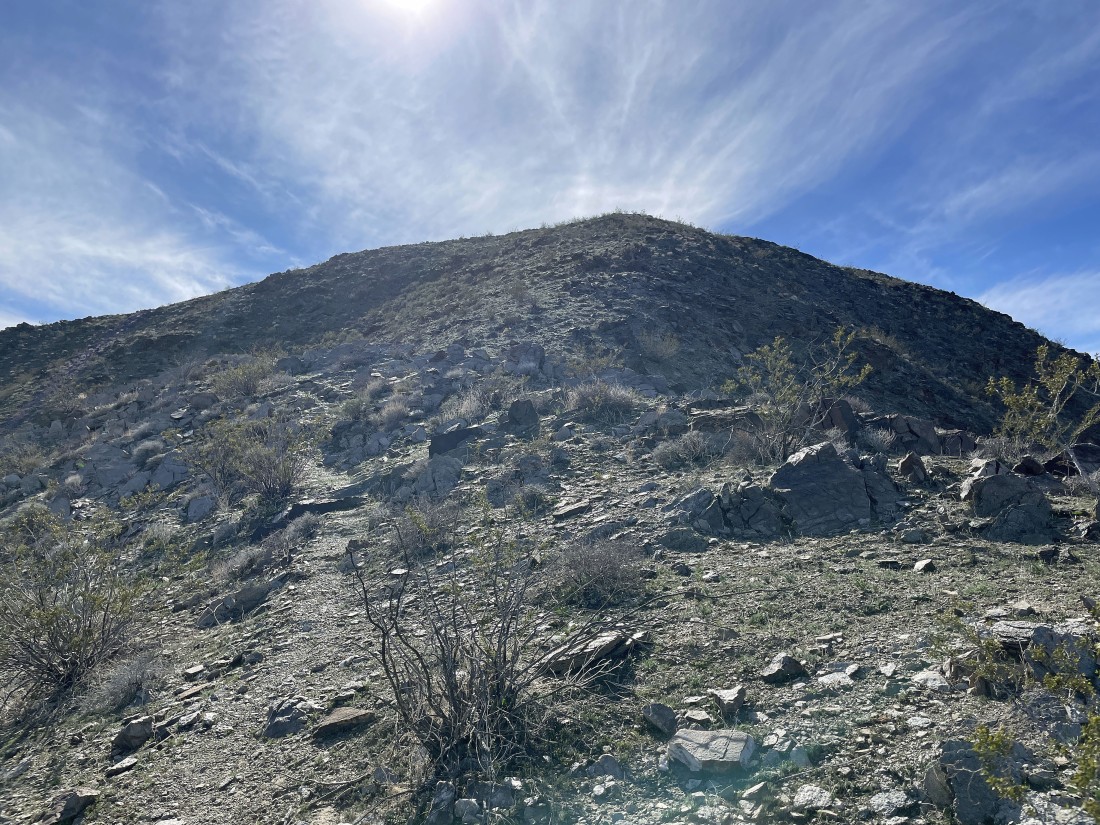
Almost on the summit.
|
I can see the summit cairn up there.
|
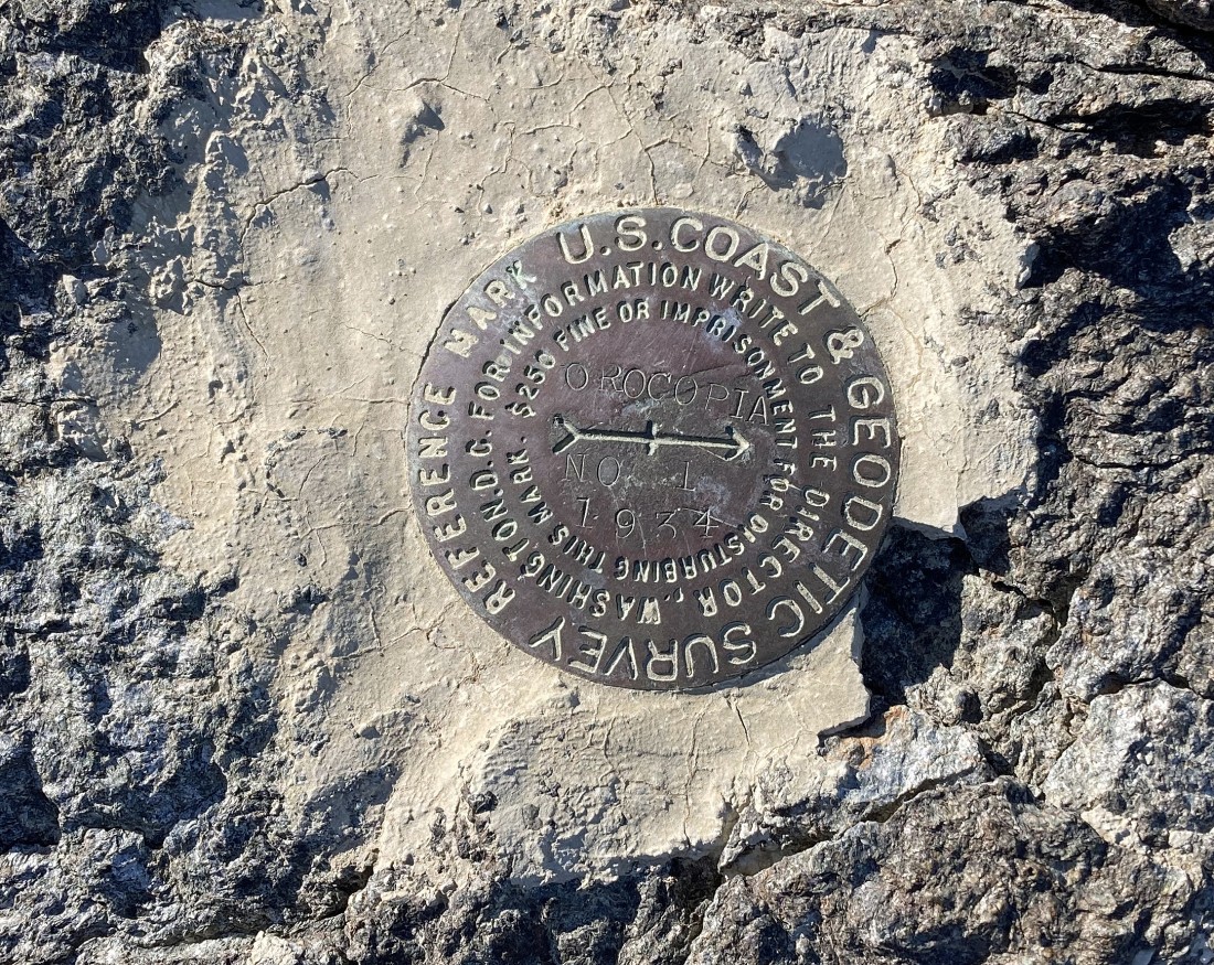
After hiking a total of 2.6 miles we have reached the Orocopia Mountain summit (3815')... the benchmark was placed here in 1934.
|
We can see the entire Salton Sea... by far the best view we have ever had of the sea... with the Santa Rosa Mountains in the right center of the photo... then to the right of the Santa Rosa Mountains are the San Jacinto Mountains and the San Bernardino Mountains.
|
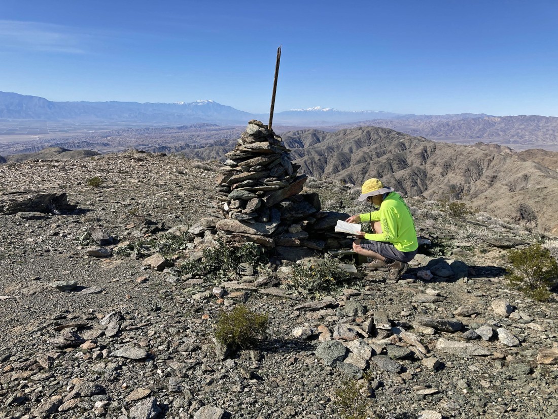
Denali Girl took this photo of me looking at the summit register... with the summit cairn separating the snow covered San Jacinto Mountains on the left... and the snow covered San Bernardino Mountains on the right.
|
|
A little closer look at the Salton Sea.
|
Looking NW (far left) across Coachella Valley to the San Jacinto Mountains and San Bernardion Mountains... then going to the right are the Little San Bernardino Mountains and Cottonwood Mountains... with the Eagle Mountains in the center of the photo... with the Chocolate Mountains in the far right foreground.
|
Denali Girl signs us into the summit register.
|
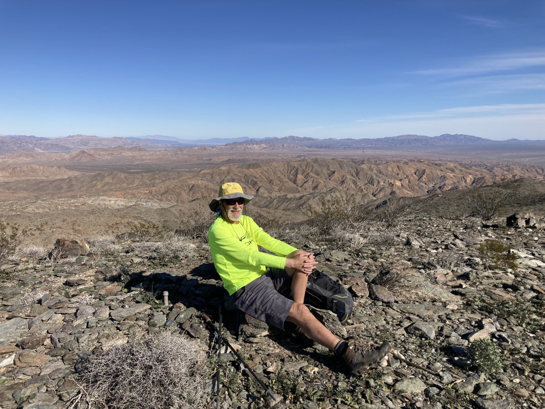
Denali Girl took this photo of me... with the Chocolate Mountains in the foreground... and the Chuckwalla Mountains beyond on the right.
|
Time to head back down to the car... pretty much tracing our steps all the way.
|

Just like on the way to the summit, there are plenty of ups and downs going back to the car.
|
Almost back down to the abandoned road.
|
After hiking a total of 4.1 miles we are back on the abandoned road... here looking back up at the Orocopia Mountain summit on the horizon in the center of the photo.
|
Now an easy stroll back to the car.
|
We can see the car now... the hike was a total of 5.2 miles, gaining 1556 feet of elevation.
|
