Red Canyon - 1.10.2023
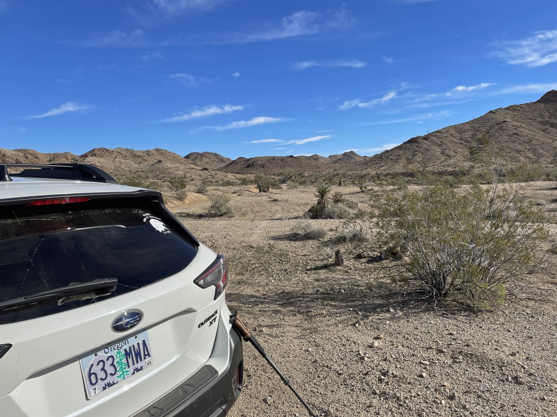
We took Exit 173 off of I-10 at Chiriaco Summit (it is a small town) and then drove into Maniobra Valley on a dirt and gravel road for at least 5 miles to where we parked. It is an unofficial trailhead.
|
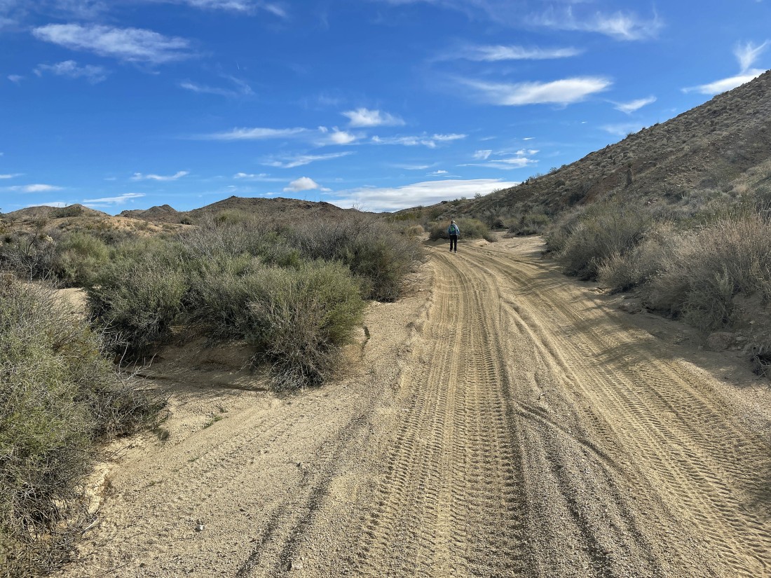
We continued to hike on the dirt and gravel road. In my opinion you should have a vehicle with 4WD or AWD to get as far as we did before parking.
|
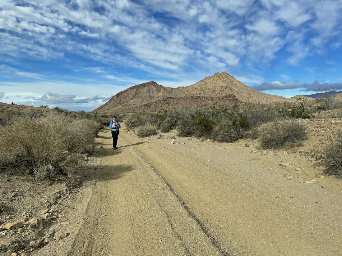
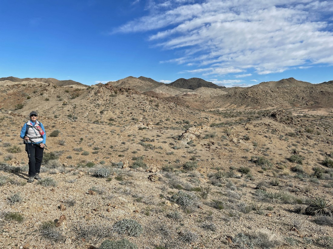
Looking back as we continue hiking on the road... our car is back in the neighborhood of those two peaks in the distance.
|
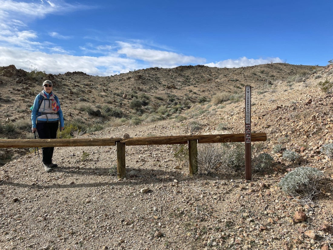
After hiking a total of .9 miles we decided to leave the road and enter the Orocopia Mountains Wilderness.
|
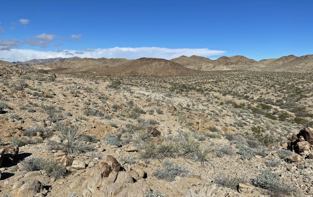
Heading cross country in search of Red Canyon... or any canyon for that matter.
|
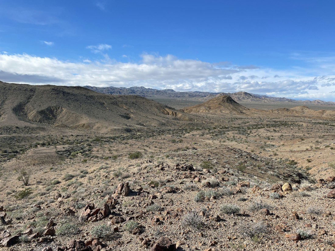
That little bump in the foreground looks like a possible entrance to a canyon... so lets get over there.
|
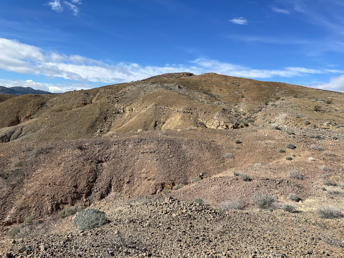
Heading for the bump on the left.
|
We have reached the bump... now lets drop down into the canyon.
|
Looking back at Denali Girl as she gets ready to enter the canyon.
|
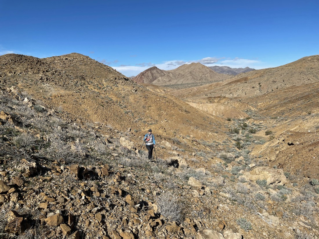
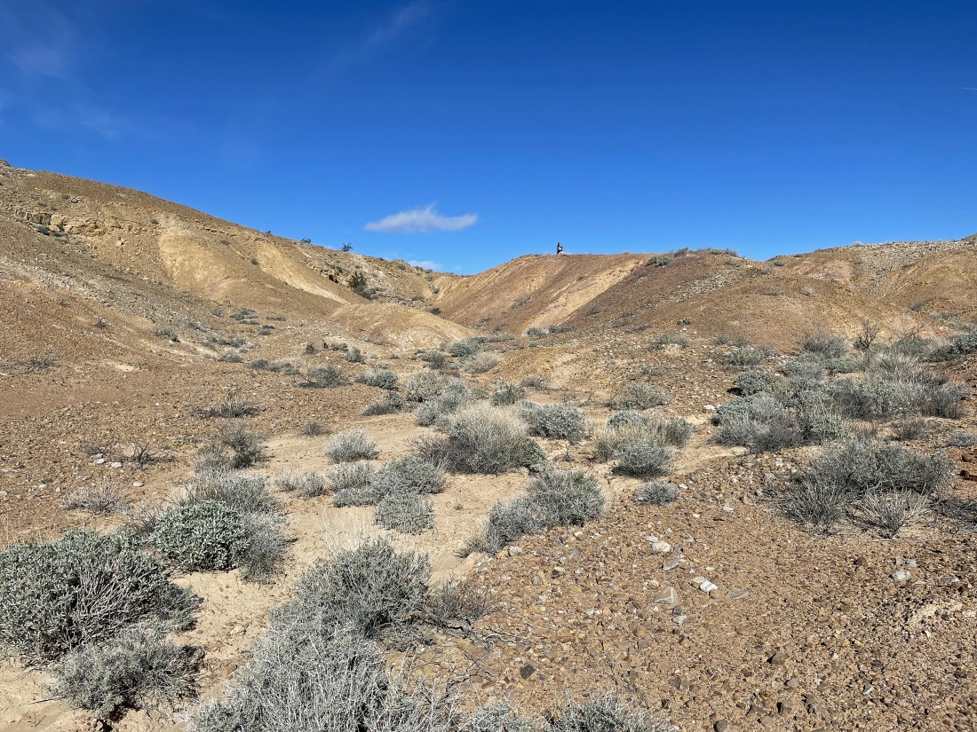
We kind of hit a dead end in the canyon and are climbing our way out of it.
|
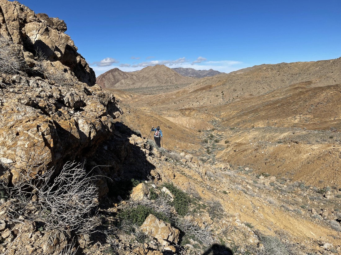
Almost out of the canyon.
|
Out of the canyon now... and looking back at where we came from.
|
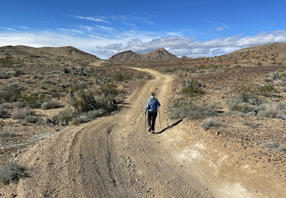
After hiking a total of 2.2 miles we have found another 4WD road... and we can see the real Red Canyon off in the distance on the right... but it doesn't look red from here... and we aren't going to go out there today.
|
After hiking a total of 2.7 miles we have decided to leave our new 4WD road and go connect with the original 4WD road that we can see over there in front of the big bump in the center of the photo.
|
After hiking a total of 3.4 miles we have returned to the original 4WD road that we started hiking on... another 1.2 miles will get us back to our car... the total hike was 4.6 miles, gaining 407 feet of elevation.
|
