Mystery Holes - 1.13.2023
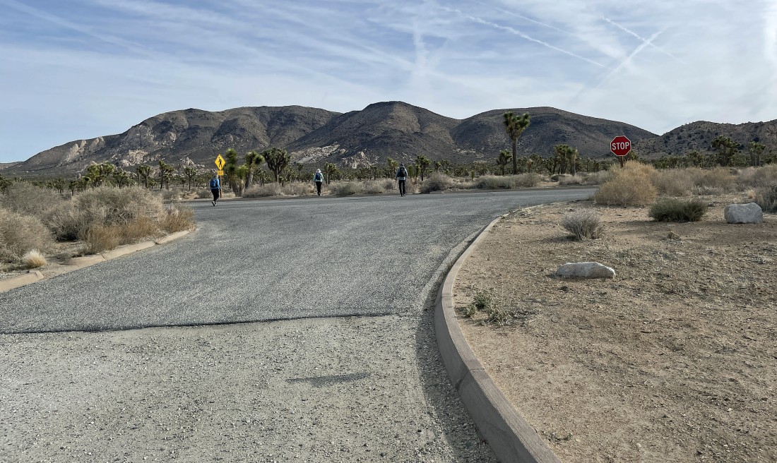
This was a 'two car thru hike'... after parking the first car on the Geology Tour Road we drove back to the Juniper Flats Backcountry Registration and Parking area where we parked... then walked across Keys View Road and headed cross country for the canyon that separates Ryan Mountain (on the horizon) and Lost Horse Mountain... in the distance beyond the stop sign.
|
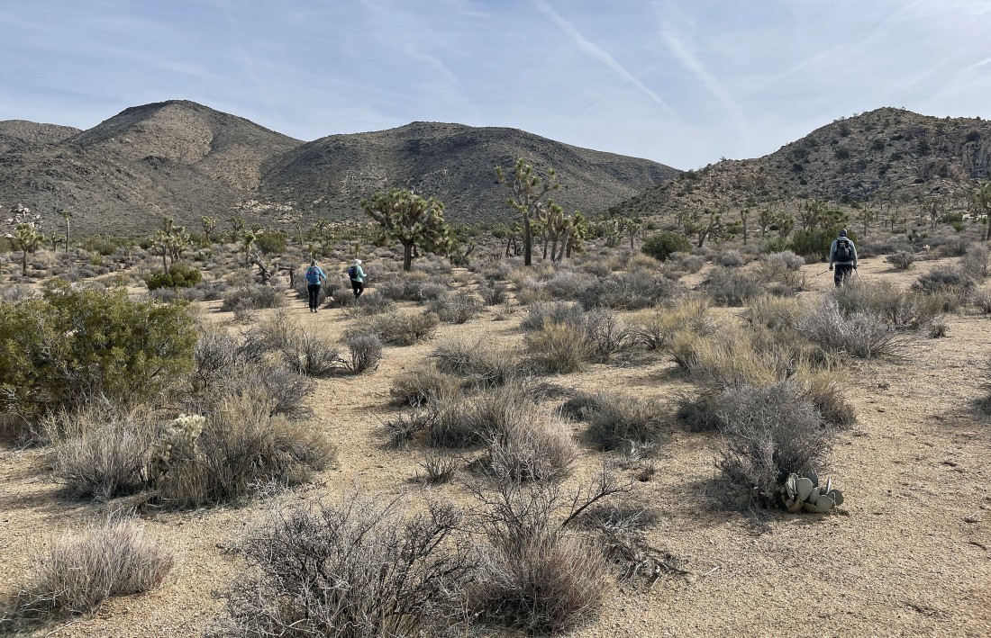
Hiking cross country... heading for the canyon in the right center of the photo.
|
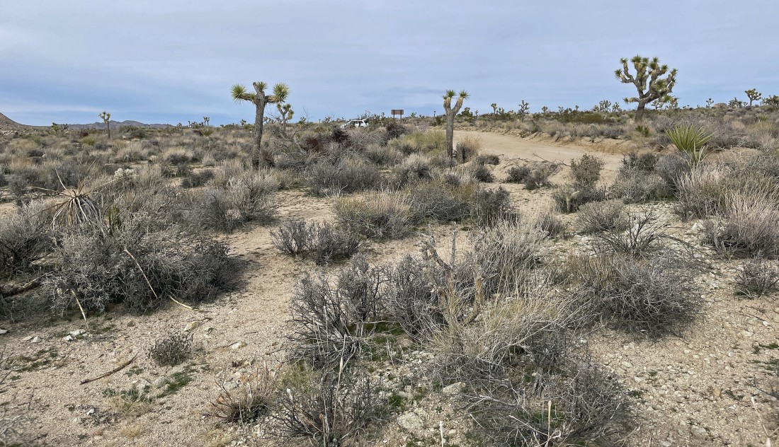
After hiking a total of 1.2 miles we are in the canyon that separates Ryan Mountain and Lost Horse Mountain... and we have connected with the 'California Riding and Hiking Trail'... hiking SE toward Queen Valley.
|
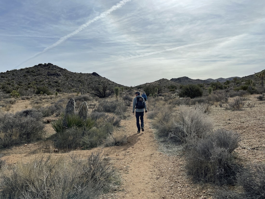
Hiking down into Queen Valley... with Lost Horse Mountain on the right horizon... with part of the Hexie Mountains and Little San Bernardino Mountains in the distance on the left.
|
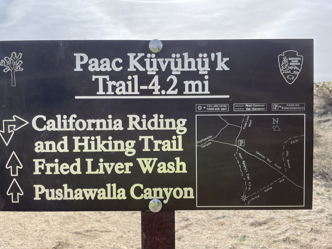
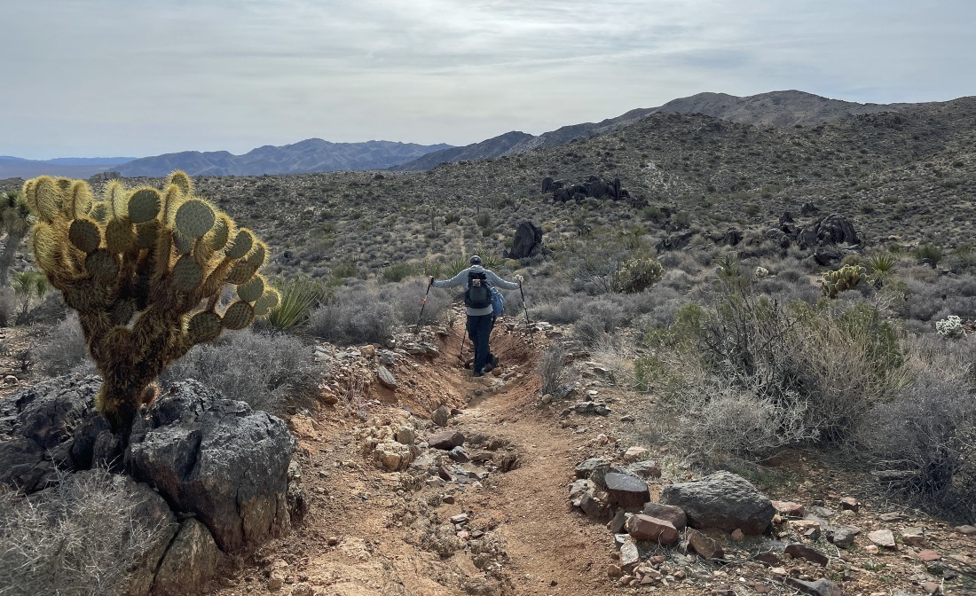
After hiking a total of 2.8 miles we will leave the 'California Riding and Hiking Trail' and begin hiking on the 'Paac Kuvuhuk Trail'... also known as the 'Squaw Tank Trail'.
|
|
Down in Queen Valley now... with lots of awesome rock formations to explore.
|
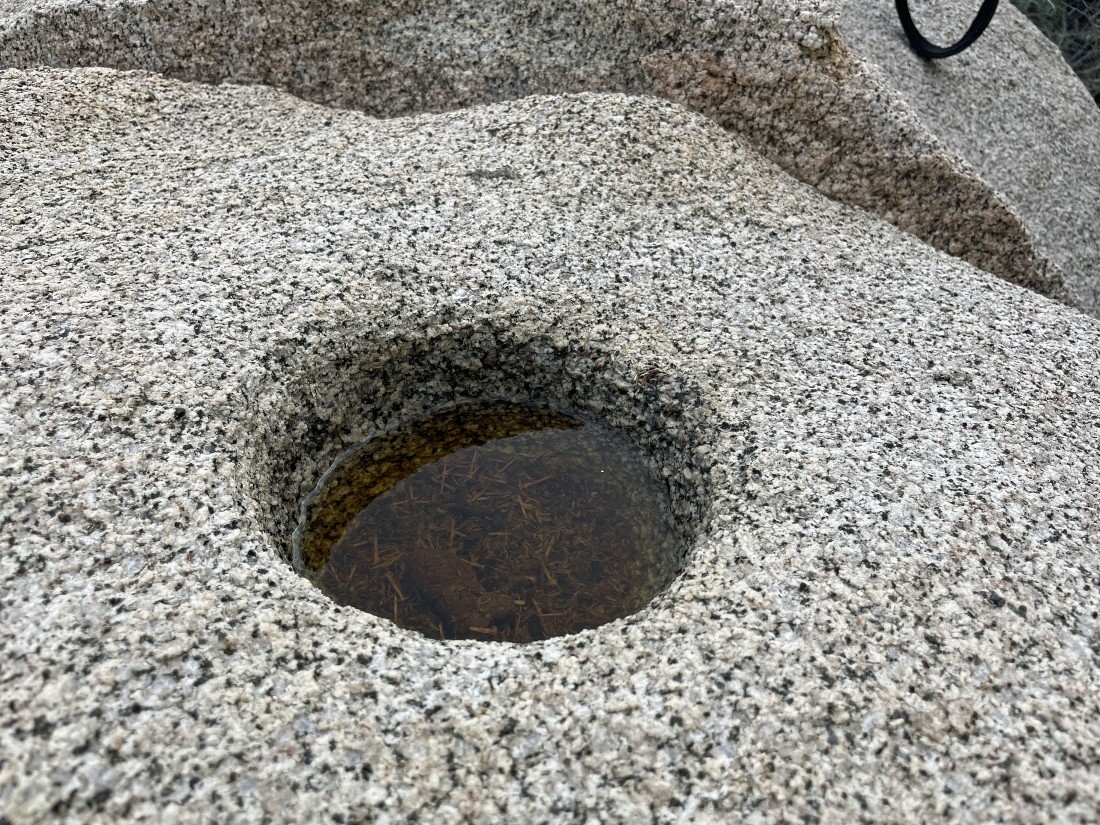
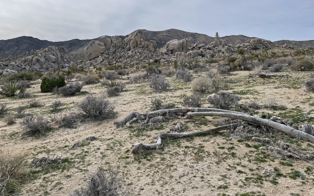
Lots of mystery holes in the area... the depth of the holes increase by one inch every 100 years.
|
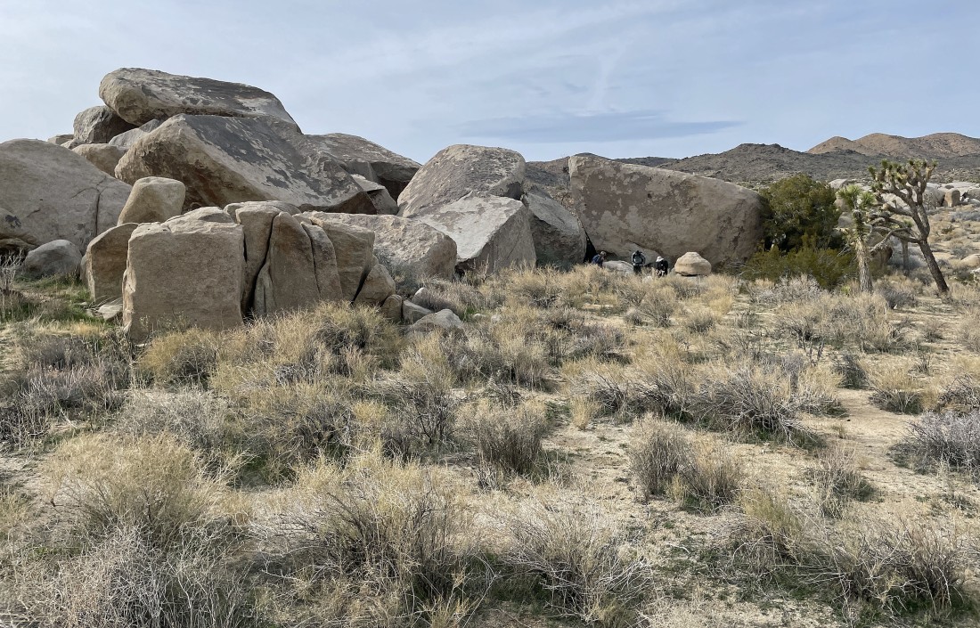
After hiking a total of 3.5 miles we have left the 'Paac Kuvuhuk Trail' and headed cross country... here taking a break and getting ready to explore.
|
Exploring.
|
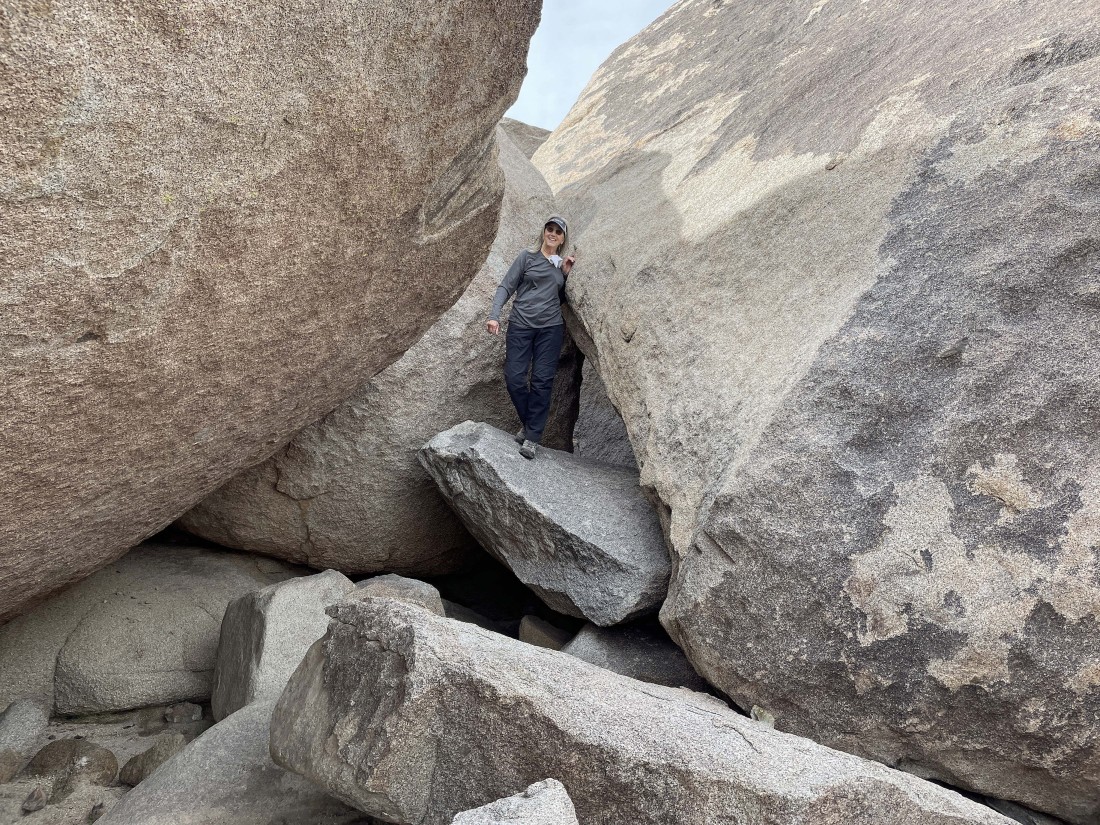
Exploring.
|
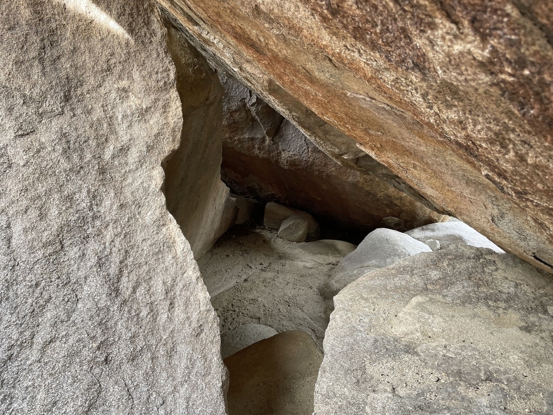
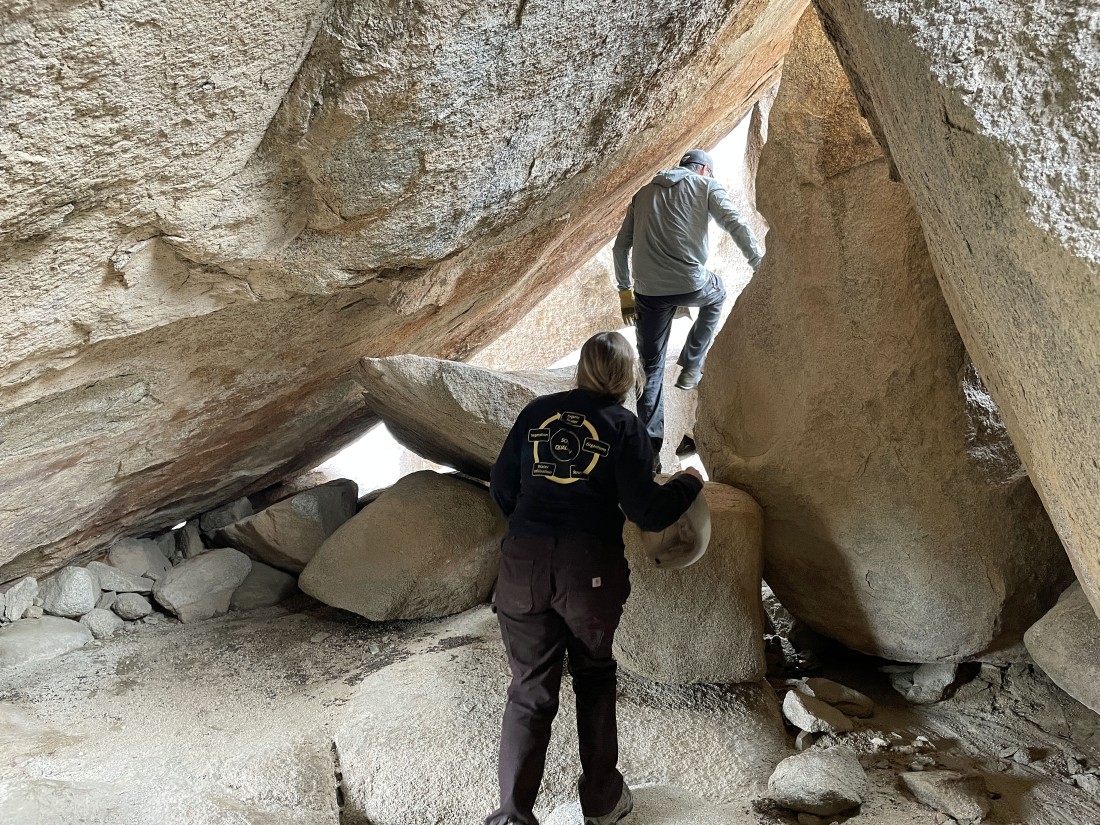
Feels like a cave... very spacious.
|
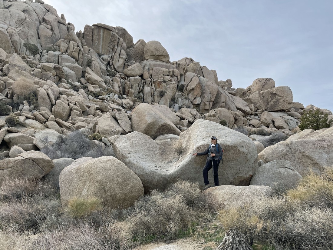
We have left the main trail and are heading over to explore more rock formations.
|
Denali Girl has found her throne.
|
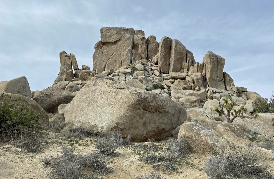
Lots of awesome rock formations.
|
Looking back at some of the rock formations... with Lost Horse Mountain on the horizon behind the rock formations.
|
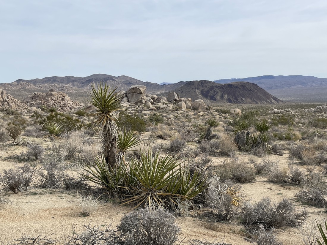
The interesting hill in the right foreground is Malapai Hill... with the Hexie Mountains on the left and Little San Bernardino Mountains on the right.
|
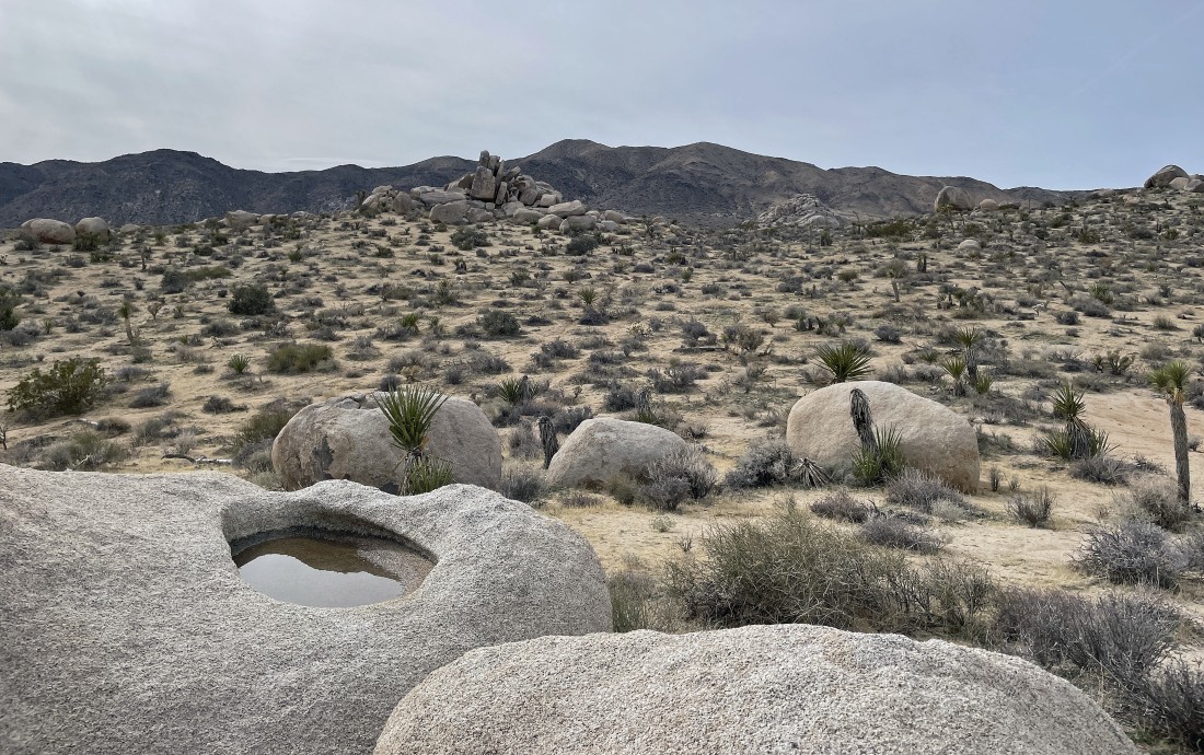
Found a bird bath... or is it a gigantic mystery hole... looking across Queen Valley to Lost Horse Mountain on the center horizon.
|
Hiking through some of the rock formations toward Malapai Hill.
|
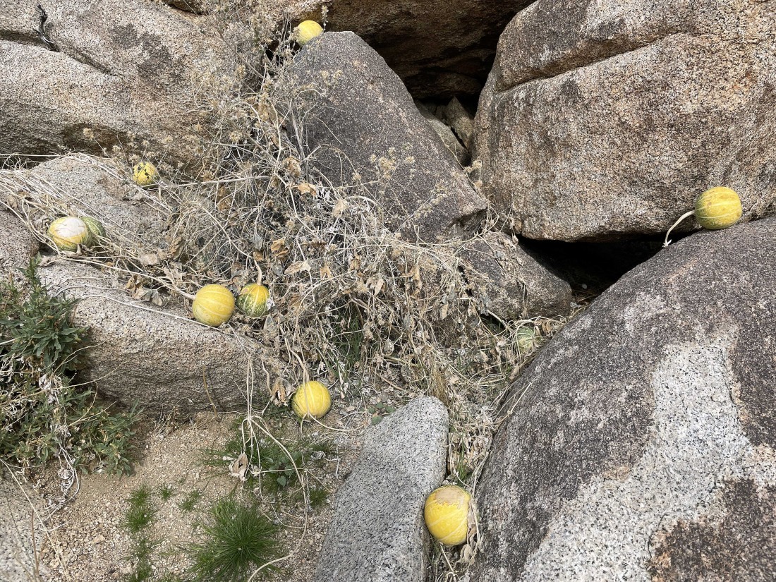
From a distance I thought someone had put a bunch of softballs in the rocks.
|
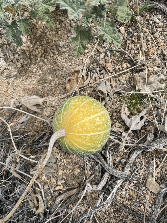
The softball is actually a Coyote Melon... with an official name of Cucurbita Californica.
|
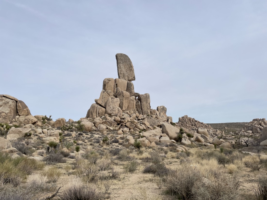
Impressive rock formation that the 'Mountain Project' calls the 'Lost Pencil Area'... with two known routes to the summit... with the routes rated as 5.12b and 5.11... in other words, incredibly difficult routes.
|
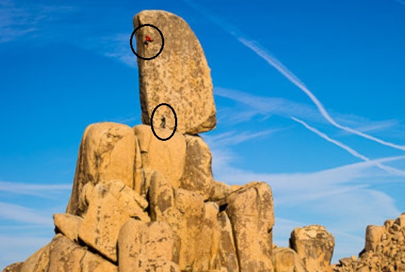
This photo shows two climbers on the 5.12b route. The 'Mountain Project' lists 183 rock climbs in the Geology Tour Road section of Joshua Tree National Park.
|
Looking back at the rock formations that we have passed by as we continue to hike cross country in the massive southern portion of Queen Valley.
|
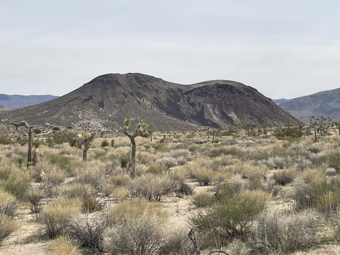
A closer look at Malapai Hill... composed of aphanitic alkaline olivine basalt... and those areas that look like shadows are actually very dark red rock.
|
We have found our second car where we parked earlier in the day on the Geology Tour Road... the total hike was 6.8 miles, gaining a total of 536 feet of elevation.
|
