Joshua Tree Peak and Point 4717 - 1.17.2023
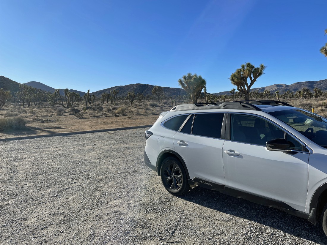
I parked at the 'Juniper Flats Backcountry Registration & Parking Area'... just off of Keys Road in Joshua Tree National Park.... and I plan to hike out to that bump on the horizon... a major error on my part.
|
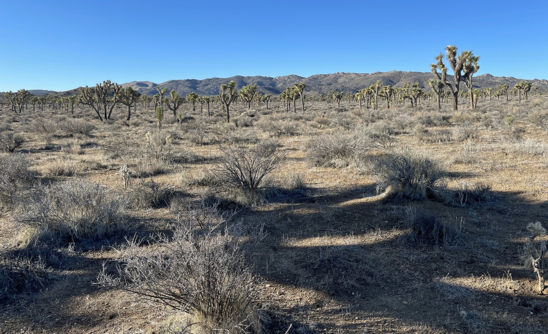
While I head for the bump in the previous photo I look over at that interesting set of bumps... and of course, that is where I should be hiking towards.
|
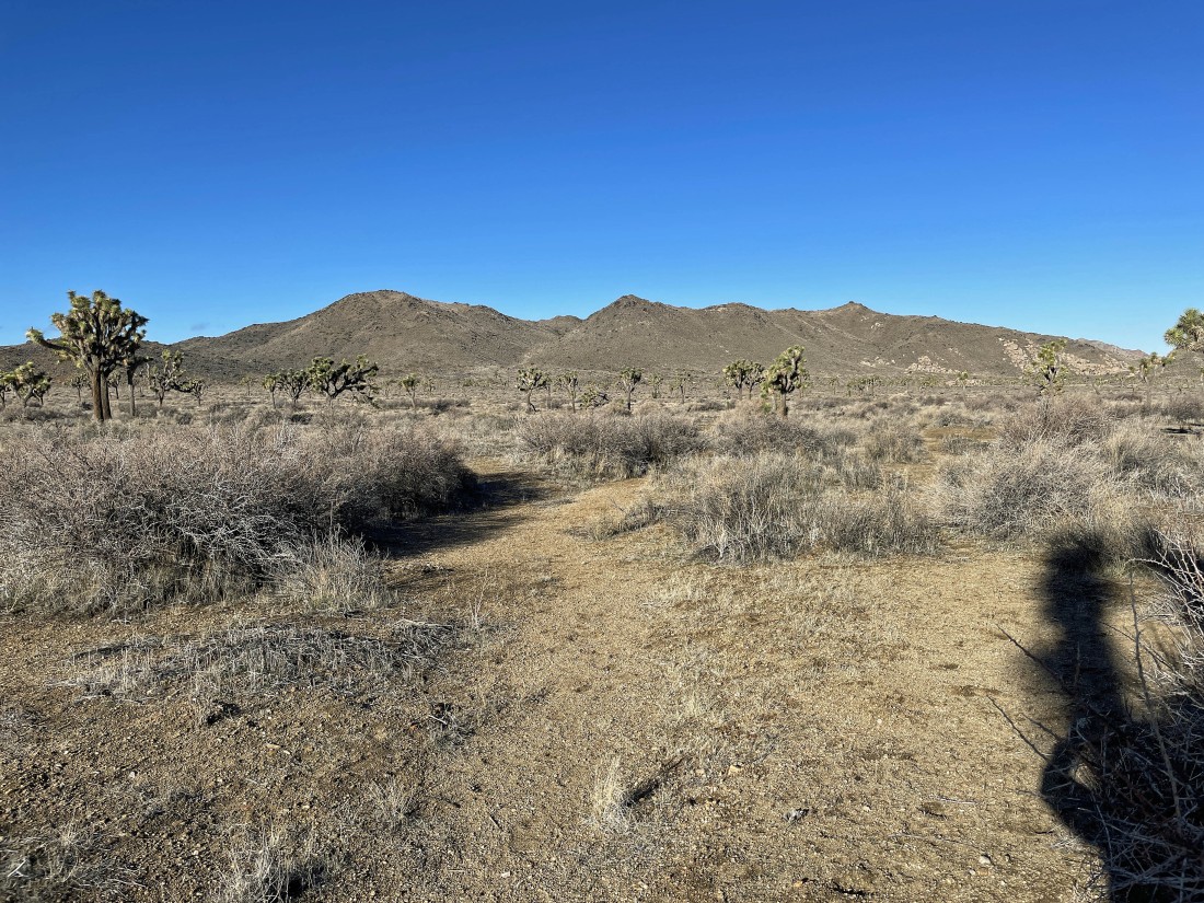
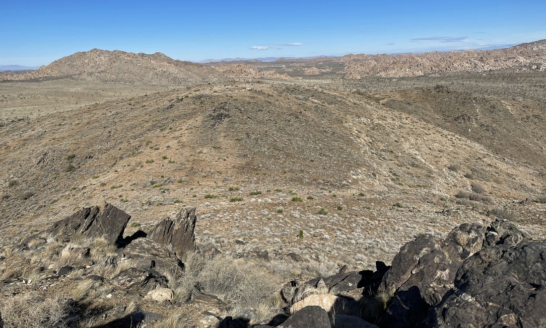
Continuing to hike in the wrong direction... with part of the Little San Bernardino Mountains on the horizon.
|
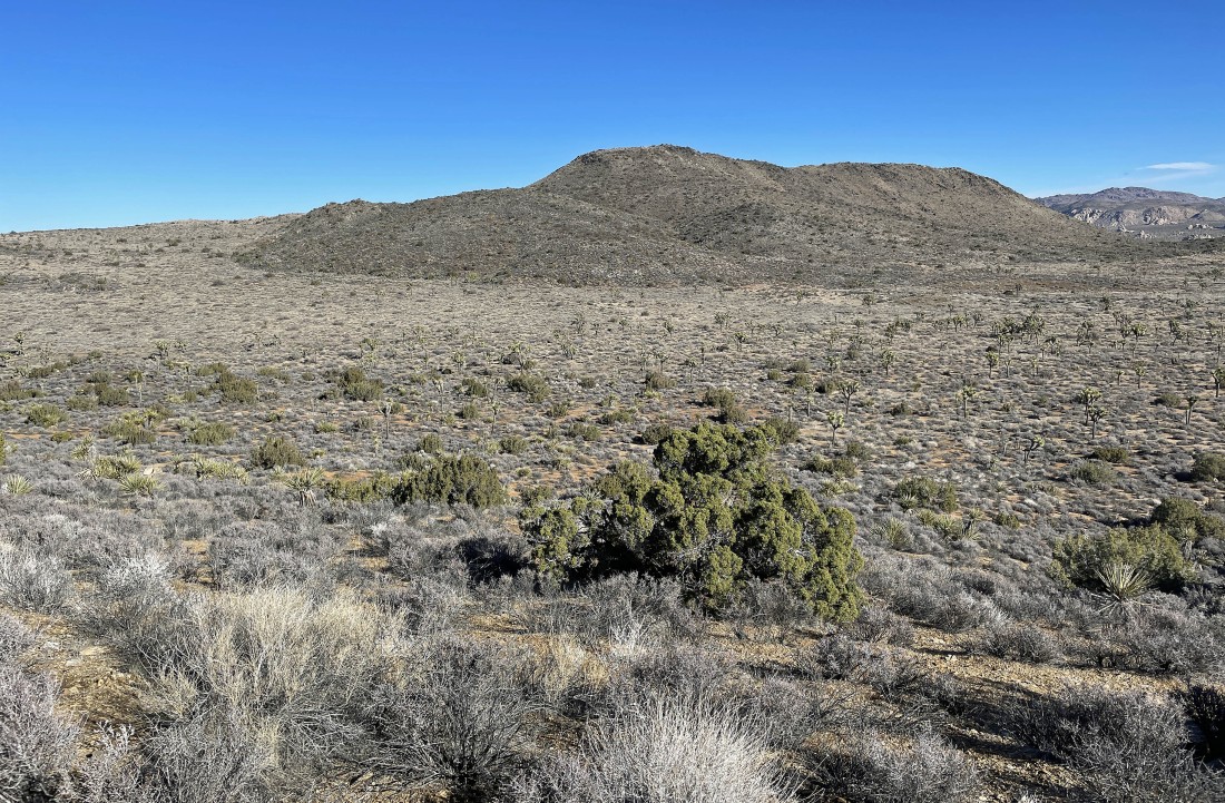
After hiking SW from my parking spot for 1.8 miles... with at least a mile of it completely in the wrong direction... I have figured things out... and am now hiking due north for those bumps that were in my second photo.
|
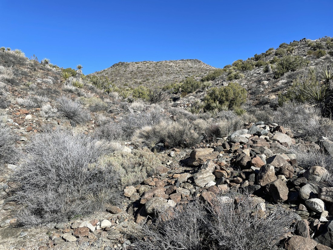
Heading up a gully for the summit of Joshua Tree Peak (aka Point 4928).
|
After hiking a total of 2.8 miles I have reached the summit of Joshua Tree Peak (aka Point 4928)... here looking NE across part of Lost Horse Valley to Ryan Mountain.
|
A pano from the summit of Joshua Tree Peak... looking NW on the left toward San Gorgonio Mountain to the NE to Ryan Mountain on the far right.
|
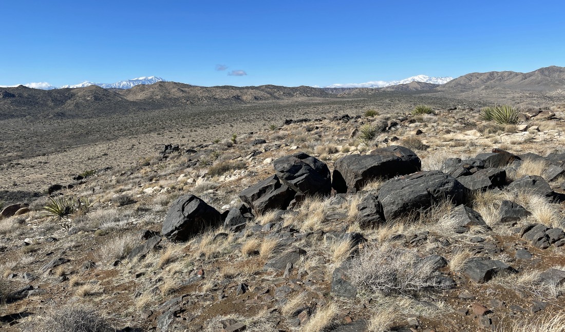
Looking across Juniper Flats and the Little San Bernardino Mountains to the snow covered mountains of San Jacinto on the left... and San Gorgonio on the right... with Quail Mountain (the high point in JTNP at 5816 feet) in the extreme far right foreground.
|
A close up of the snow covered San Gorgonio Mountain (11,503 feet)... with Quail Mountain on the far right foreground.
|
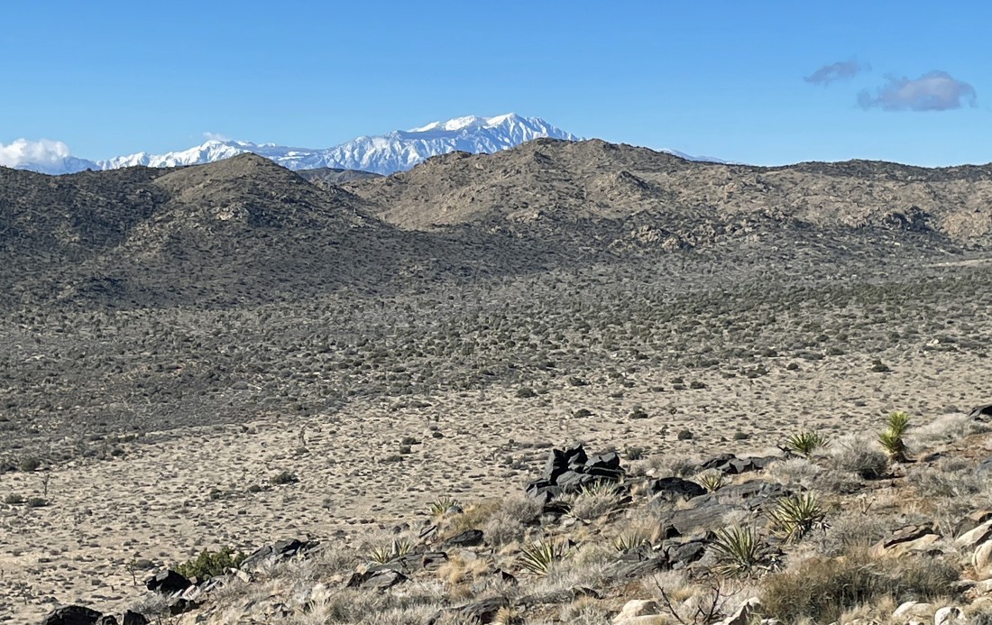
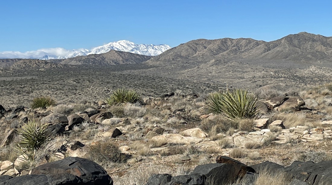
A close up of the snow covered San Jacinto Mountain (10,834 feet)... which sits above the city of Palm Springs.
|
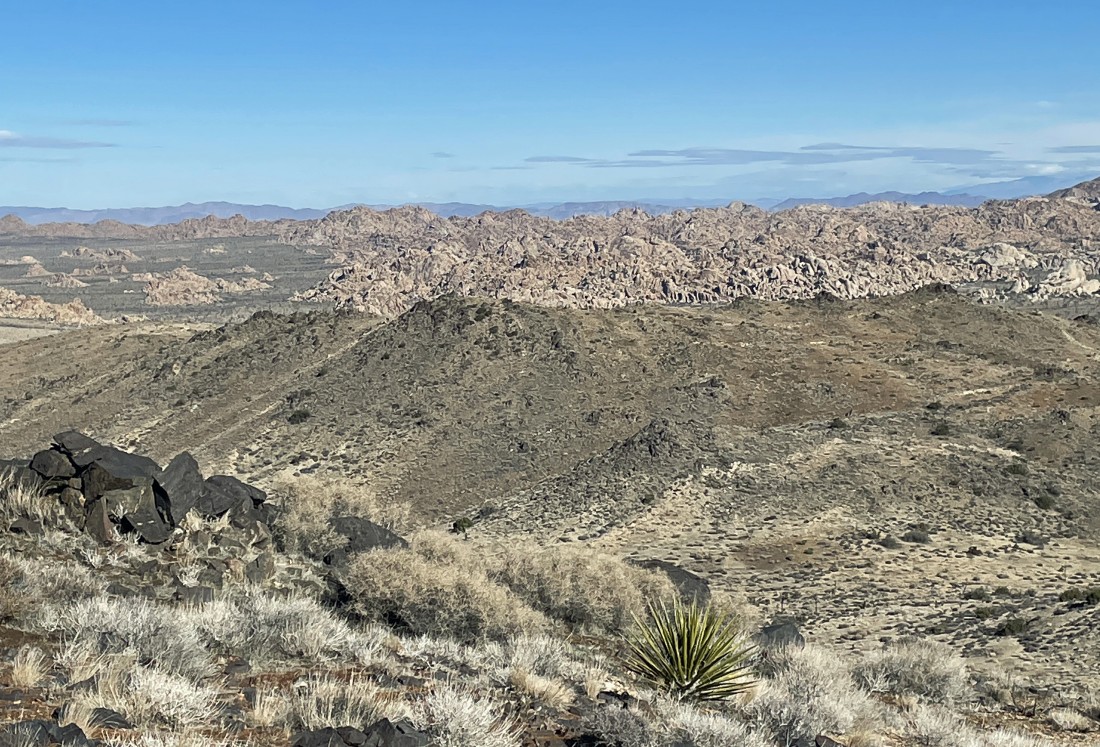
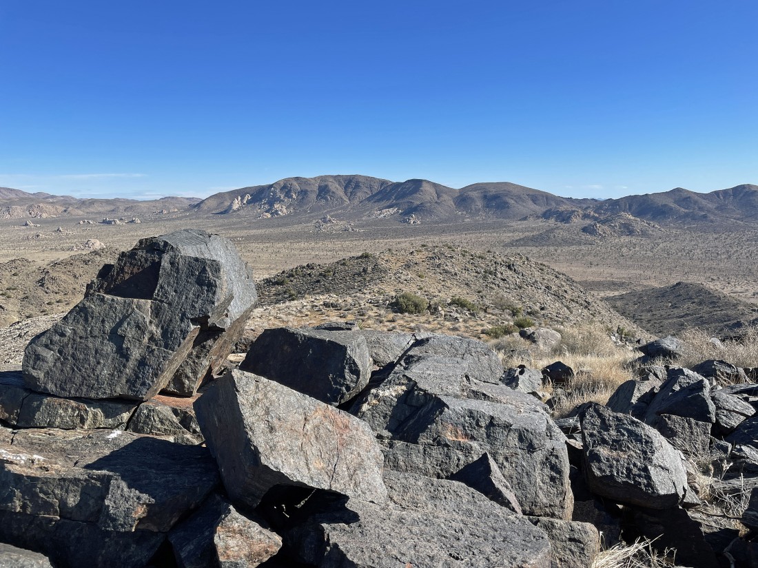
A closeup of the bumps I will travel across to get to Point 4717 in the foreground... with Hemingway and Hidden Valley in front of the Wonderland of Rocks beyond.
|
I have left Joshua Tree Peak and heading for Point 4717 on the left.
|
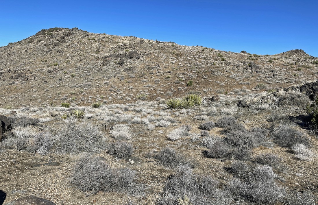
Approaching the summit of Point 4717... which actually turned out to be approximately 4800 feet... and it definitely wasn't Point 4717.
|
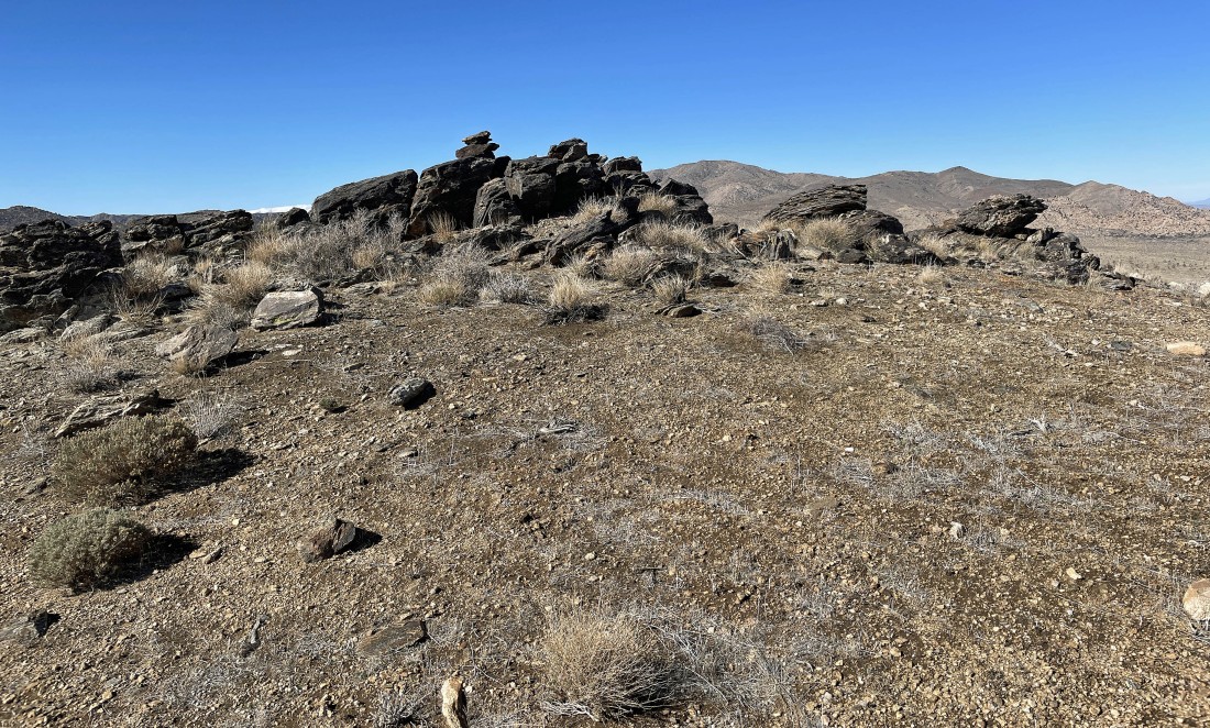
Point 4717 is the very rounded bump in the foreground... so get on over there before heading to the car.
|
This pano was taken from Point 4717... now it is time to get off of the bumps and back down to the desert floor... the total hike was 5.4 miles that gained 956 feet of elevation... and if done properly, the hike would have been closer to 4.4 miles.
|
