The Maze, Point 4508 and Point 4155 - 1.31.2023
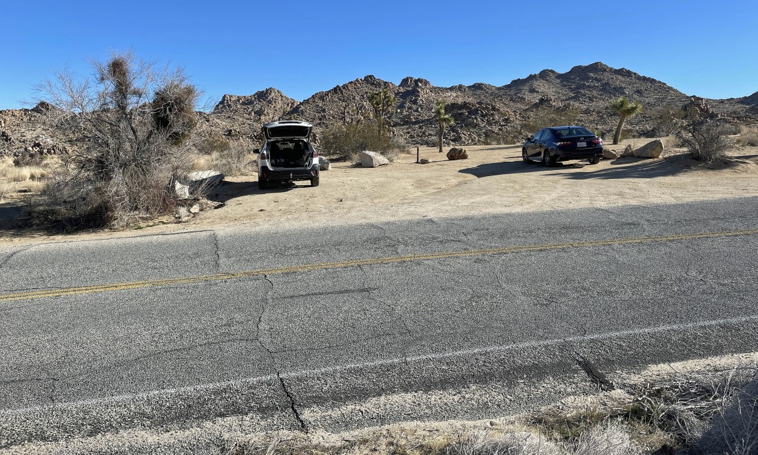
After driving 1.8 miles from the west entrance to Joshua Tree National Park I parked in the very small unpaved parking lot for The Maze, the North View Trail and the North Canyon Trail... it was 38 degrees at 9:30am.
|

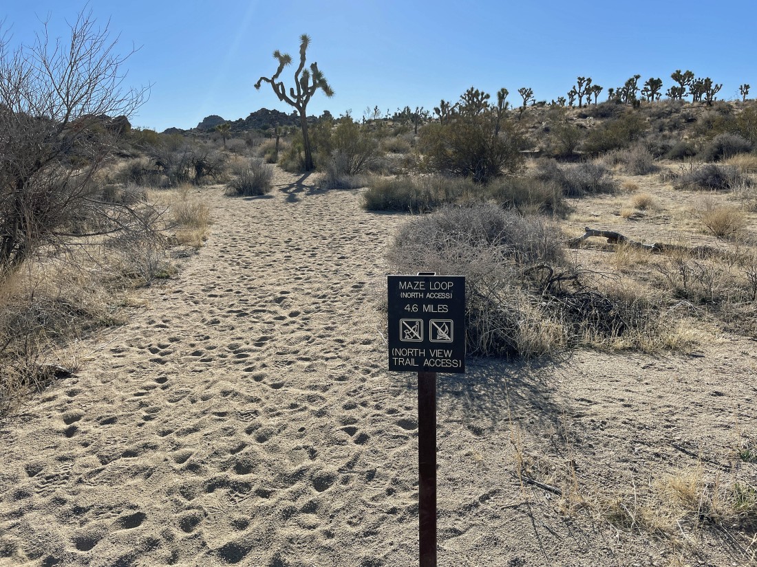
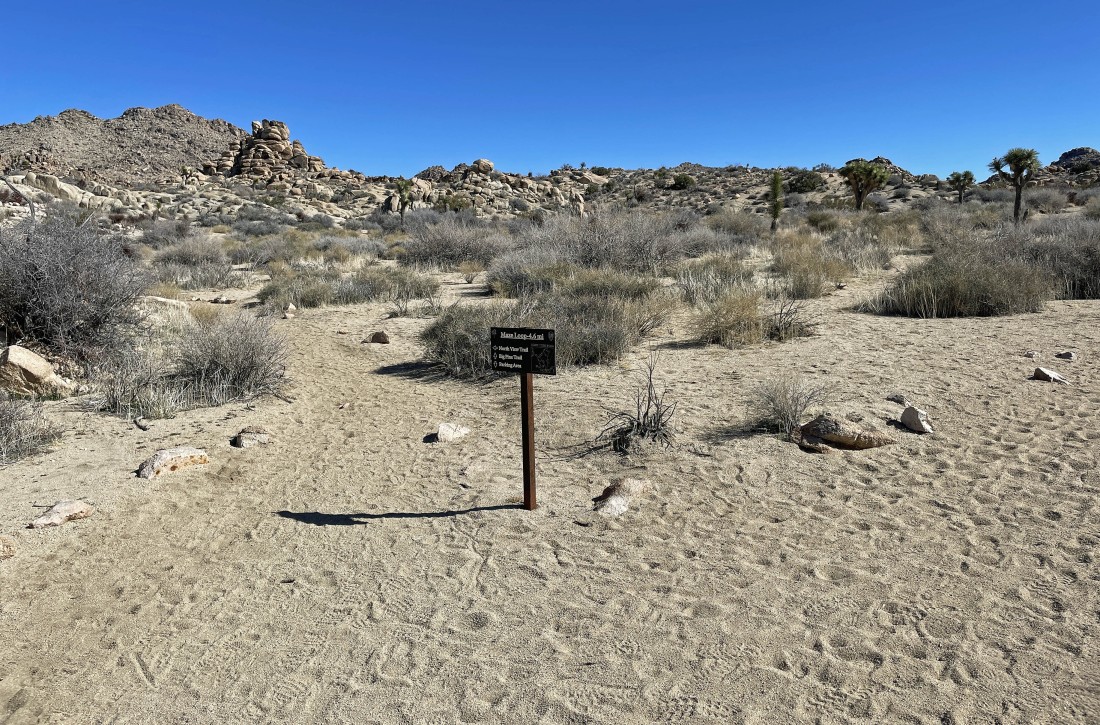
This sign is very close to where I parked... very shortly I will take the shared trail for the Maze and North View Trail... definitely do not take the North Canyon Trail.
|
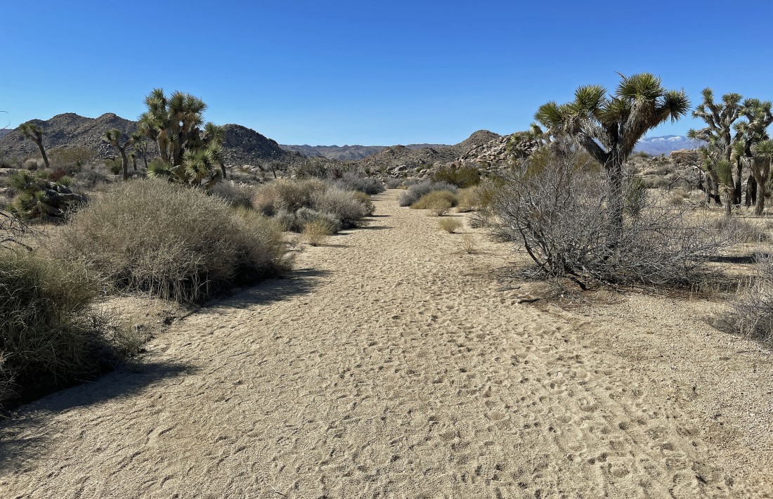
After hiking a tenth of a mile I am now hiking a short section of trail that is shared by the North View Trail and the Maze Loop Trail.
|
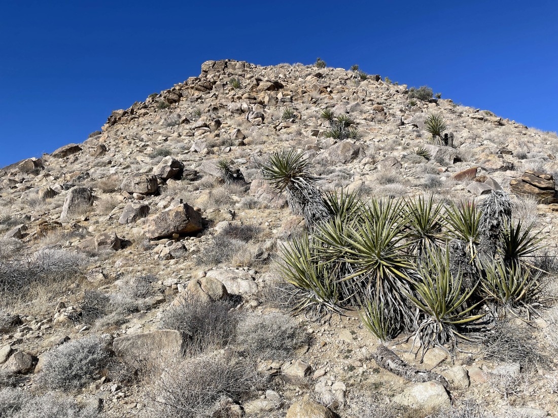
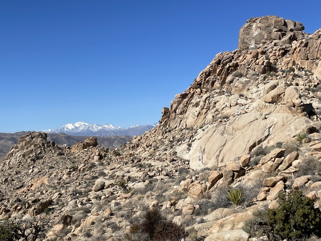
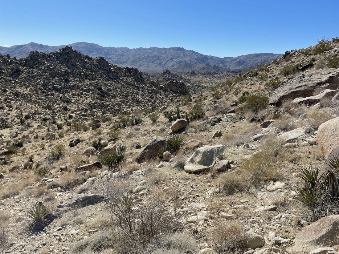
I am hiking on the North View Trail... and the trail will lead me over to the Point 4155 bump in the center of the photo.
|
I left the North View Trail and hiked a very short distance over to Point 4155.
|
|
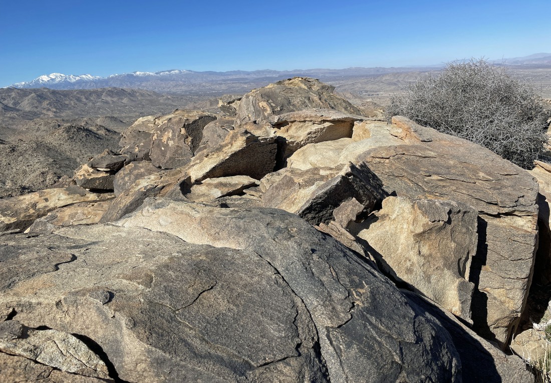
On the summit of Point 4155... here looking NW (far left horizon) out to San Gorgonio Mountain which is located in the San Bernardino Mountains... and north to Yucca Valley in the center of the photo.
|
Back down from Point 4155 and hiking on the North View trail again... the trail is going to take me up to the right edge of the photo... below the two big bumps on the far right.
|
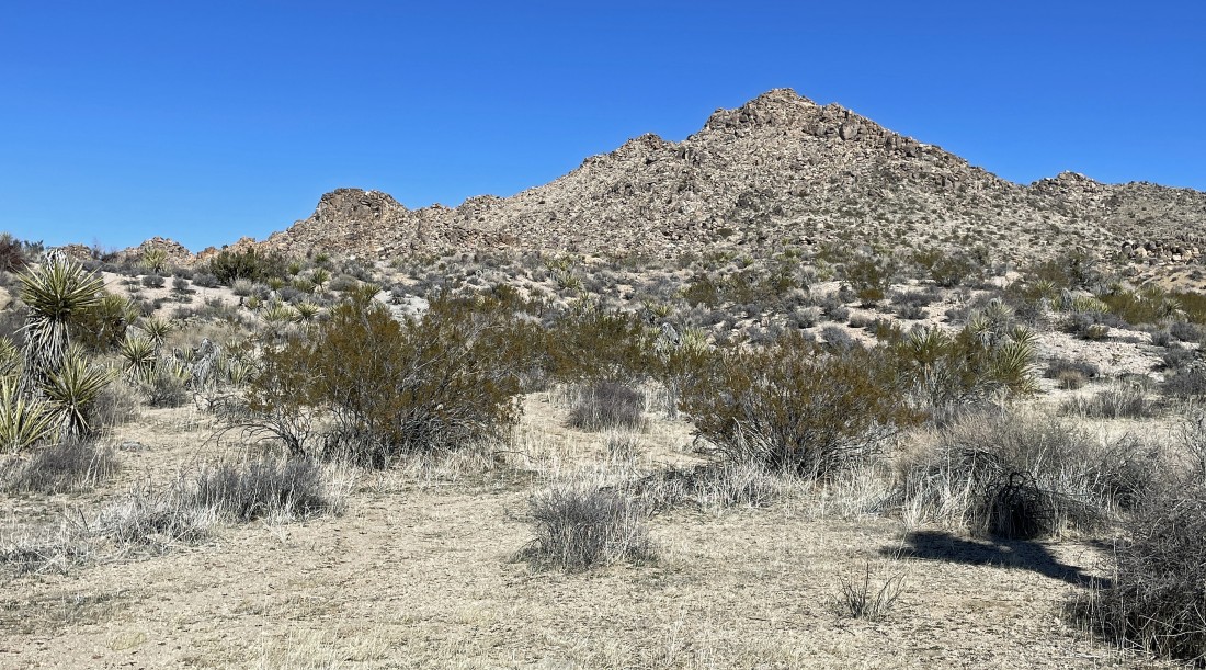
Looking back as I gain elevation on the North View Trail.
|
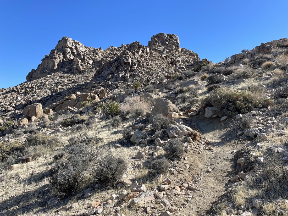
The trail is going up and will pass to the right of the bumps above.
|
I have passed by the bumps in the previous photo... here looking back to the NW at the snow covered San Bernardino Mountains... which houses 11,504 foot San Gorgonio Mountain... the highest peak in southern California.
|
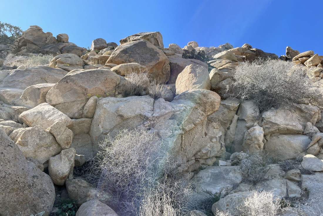
After hiking a total of 1.8 miles I have begun a scramble up to an unknown bump that caught my attention.
|
Working my way up to an unknown bump.
|
Working my way up to an unknown bump.
|
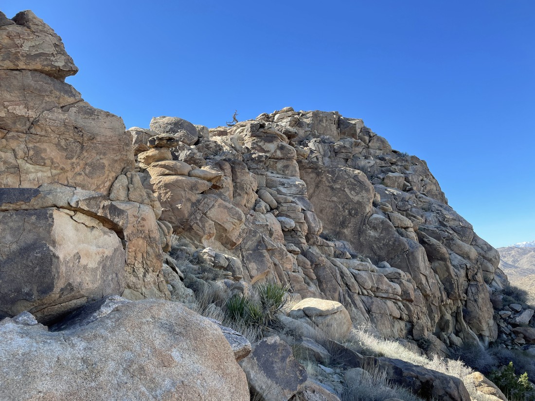
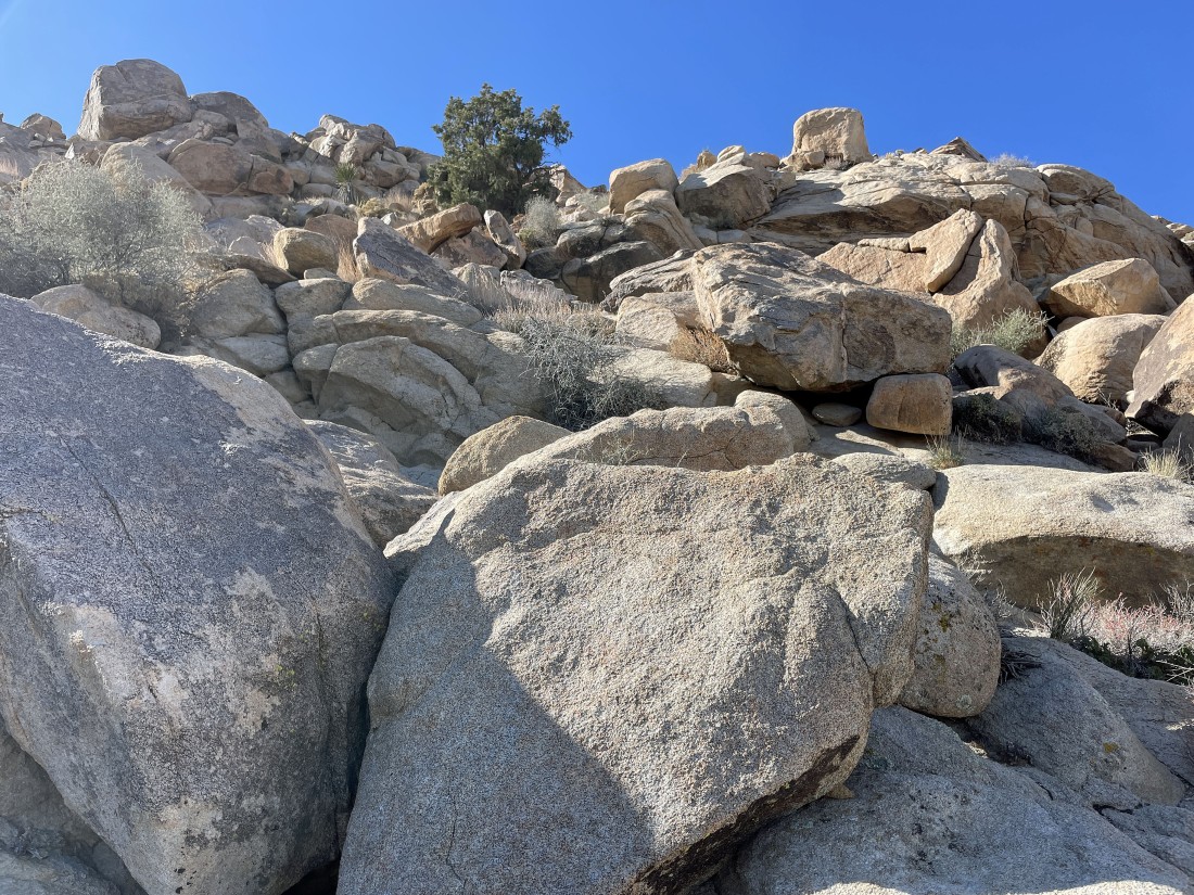
Working my way up to an unknown bump... but I don't think that I will get there unless I can find some friendlier terrain around the corner in the left foreground.
|
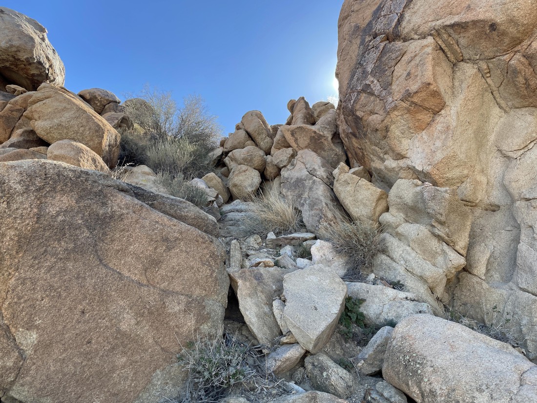
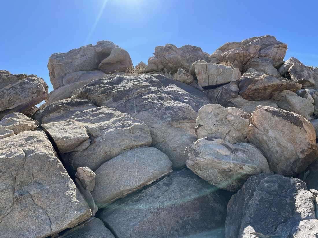
And there was some friendlier terrain around the corner.
|
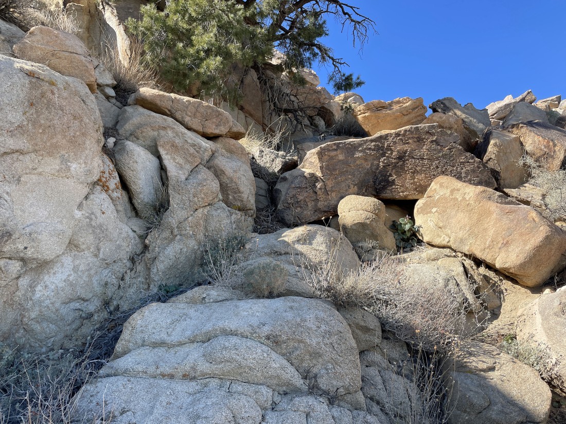
Working my way up to the unknown bump.
|
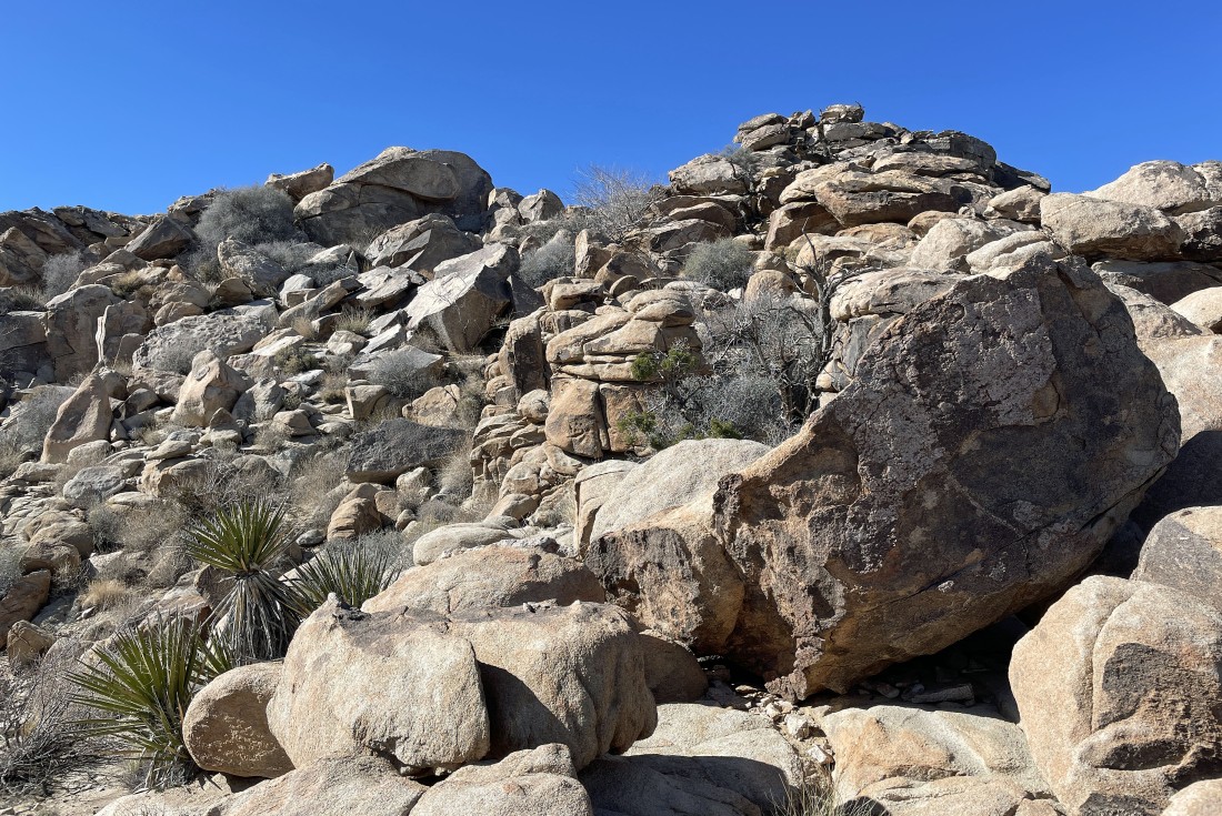
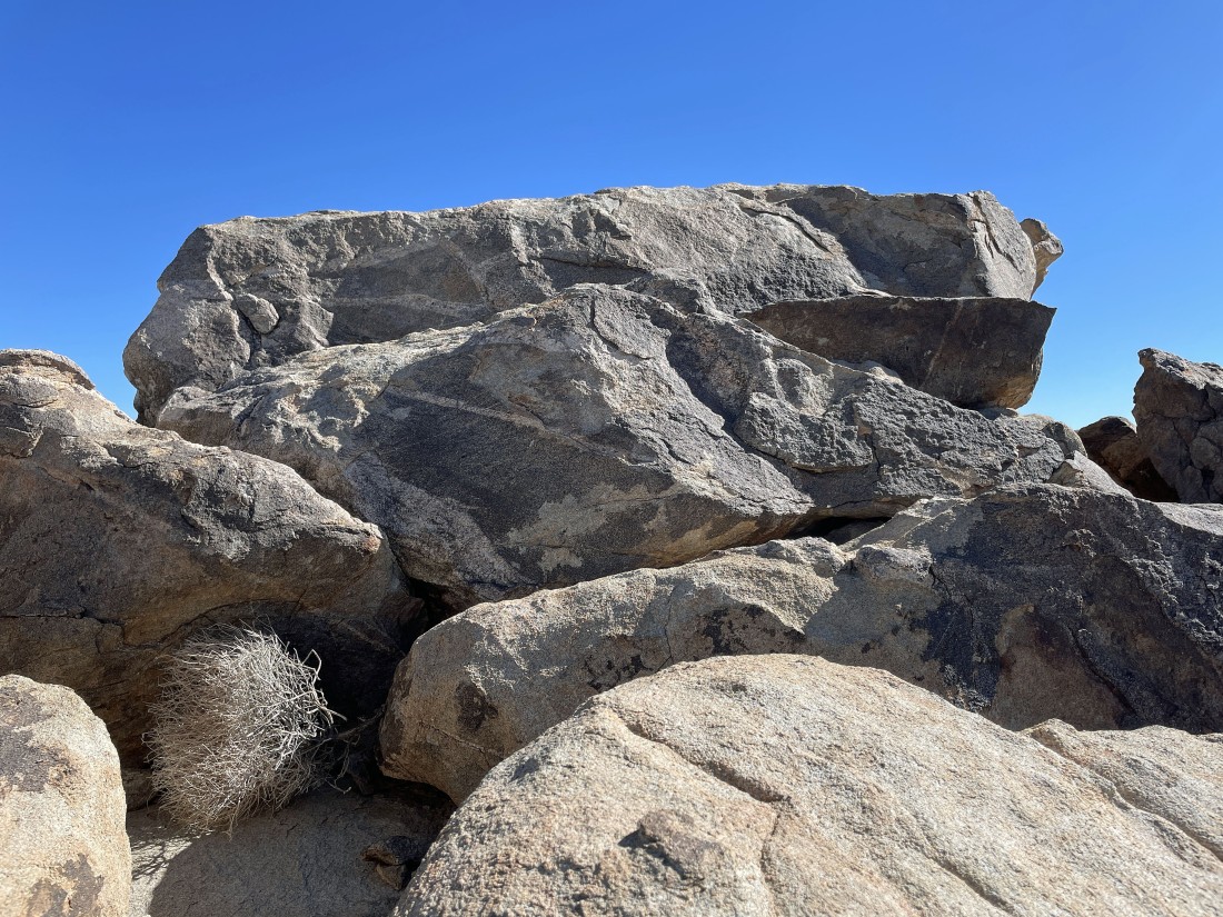
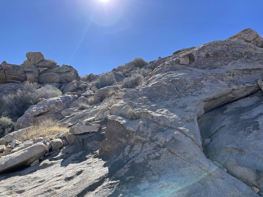
I can see the summit of the unknown bump... and the terrain to the summit is easier than it might appear in the photo.
|
After hiking a total of 1.9 miles I am on the summit of the unknown bump... looking NW to the snow covered San Bernardino Mountains on the left... and north out to Yucca Valley in the middle of the photo.
|
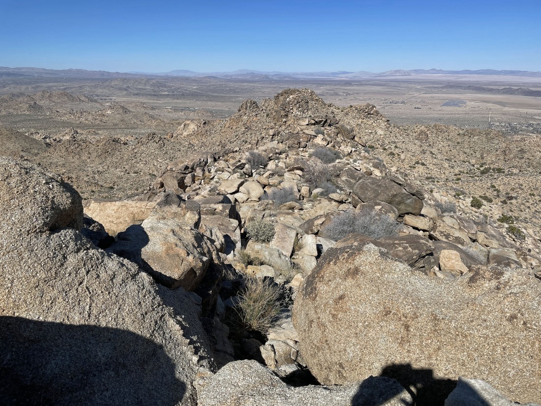
On the summit of the unknown bump... looking east to Queen Mountain and south to Quail Mountain... at 5813 feet, Quail is the high point in JTNP... when I get off this bump I will be heading over to Point 4508 in the foreground.
|
Leaving the unknown bump... with the terrain easier to deal with than it might appear.
|
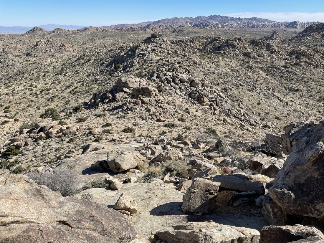
On my way to Point 4508... here looking back at the unknown bump that I was on a few minutes ago.
|
Heading for Point 4508 in the foreground... but it looks like there might be an interesting bump just before I get to Point 4508.
|
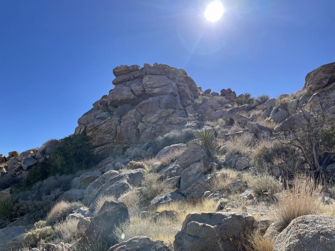
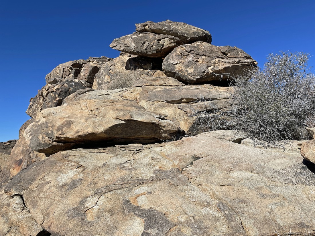
This is the bump in front of Point 4508... and I'm going to see if I can get up there.
|
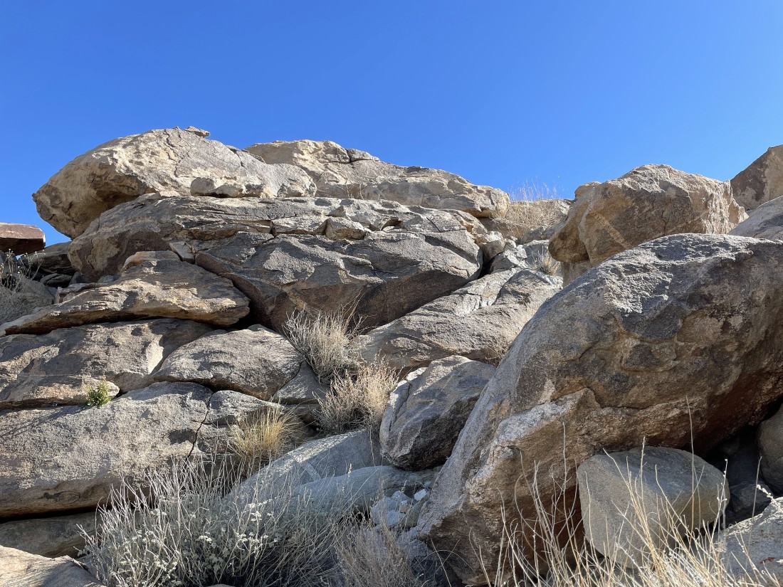
Heading up to the unknown bump in front of Point 4508.
|
Almost on the summit of the bump in front of Point 4508.
|
Looking over at Point 4508 from that little unknown bump.
|
Heading up to Point 4508.
|
Nearing the summit of Point 4508.
|
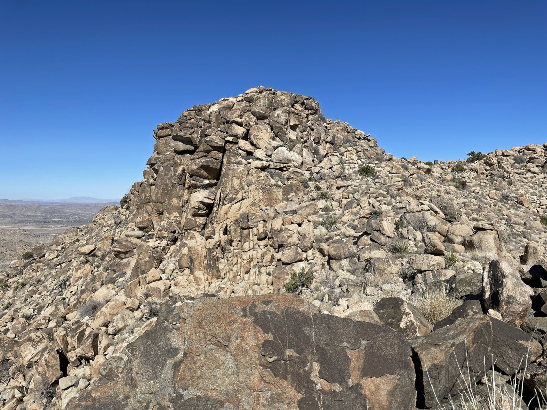
After hiking a total of 2.2 miles I am on the summit of Point 4508... here looking back to the NW at the ridge I have followed from the first unknown bump to where I am now.
|
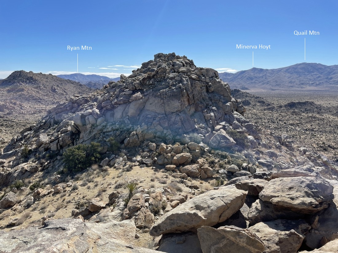
A pano shot from the summit of Point 4508... looking east to Queen Mountain... and SW to San Jacinto Peak.
|
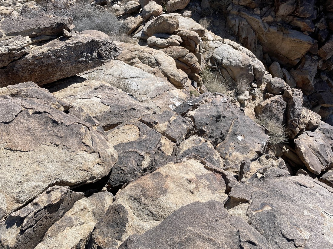
On my way down from Point 4508... nice slabs on the SE side of the peak... time to get off of the ridge and back to the car.
|
On the SE side of Point 4508... and I can see what looks like a passage over there that will get me out of the maze and back to the car.
|
After hiking a total of 2.8 miles I have rejoined the Maze Loop Trail.
|
On the Maze Loop Trail and looking over at Point 4508 as I continue hiking back to the car.
|
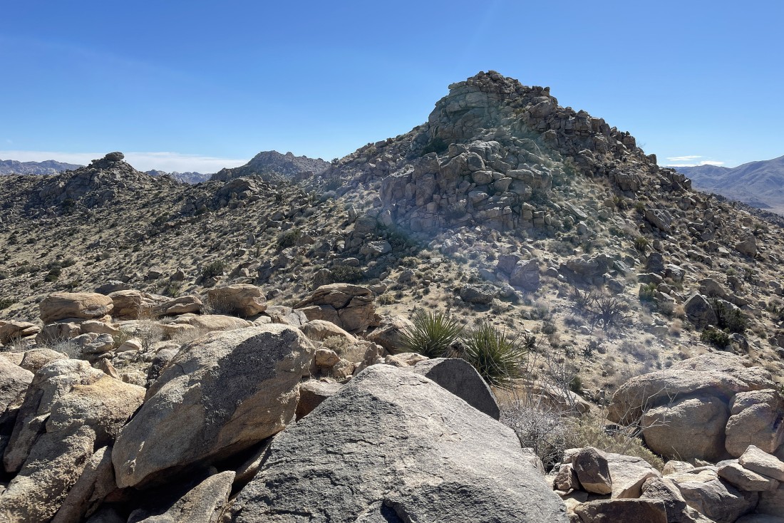
After hiking a total of 3.3 miles I have closed the loop portion of my hike... here looking over at Point 4508 and the two unknow bumps on the far left horizon.... the total hike was 3.5 miles, gaining 876 feet of elevation.
|
