Johns Camp - 2.11.2023
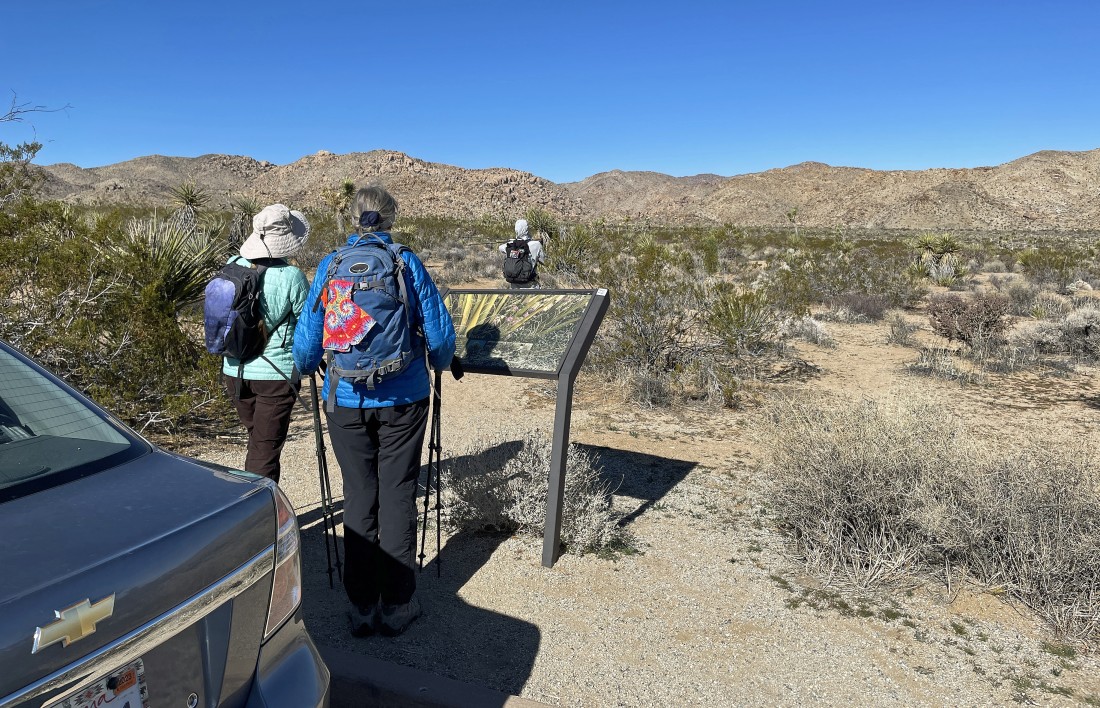
We parked on the side of Park Blvd in a paved pullout... located one mile SW of the Pinto Wye in Joshua Tree National Park... we will be heading for the foothills in the center of the photo.
|
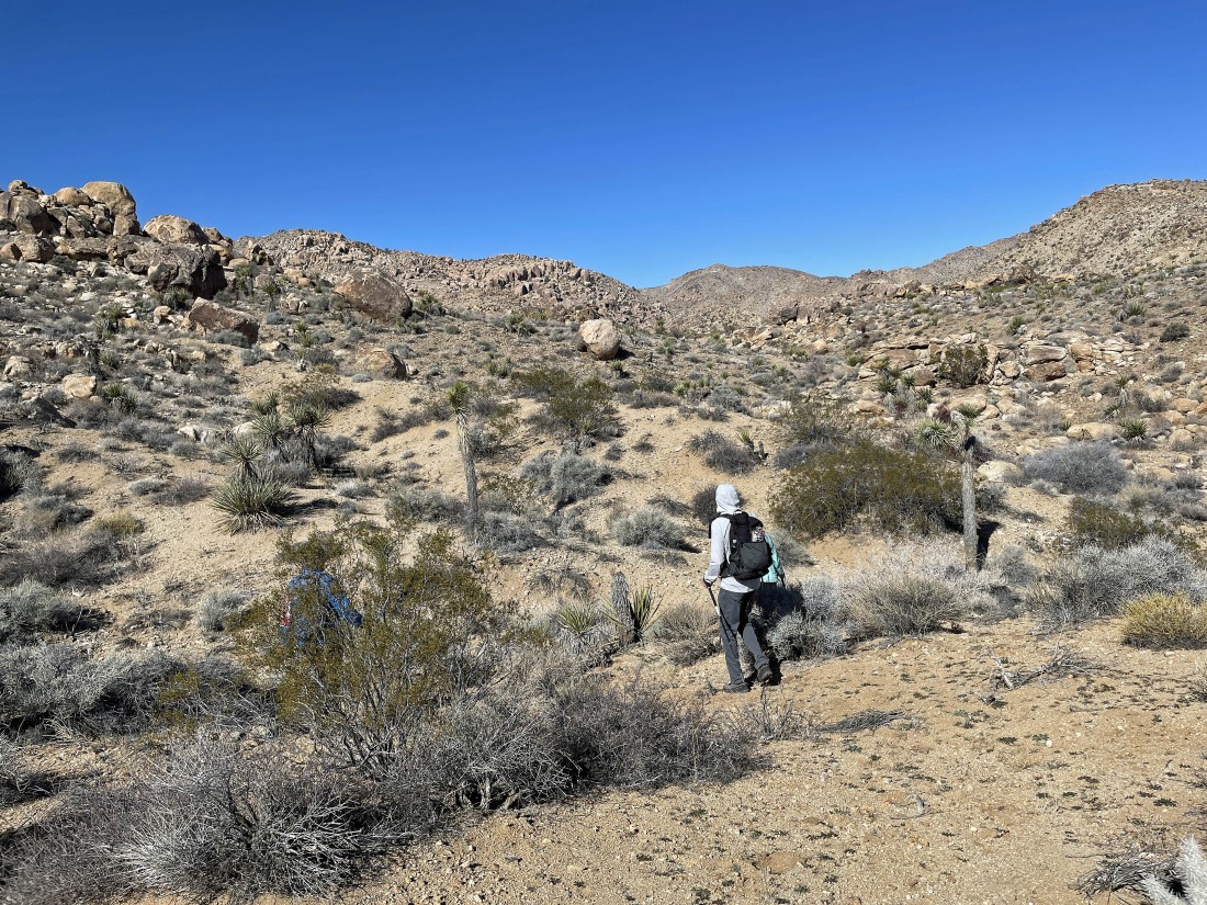
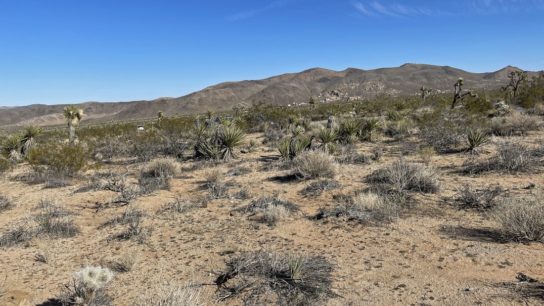
Working our way into the foothills.
|
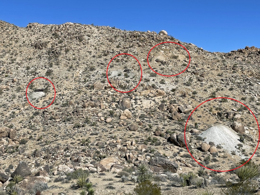
After hiking .8 miles we looked across the wash to see the tailings from at least 4 mines at Johns Camp.
|
Continuing up the wash... with our attention on the rock formations further up the wash on the right.
|
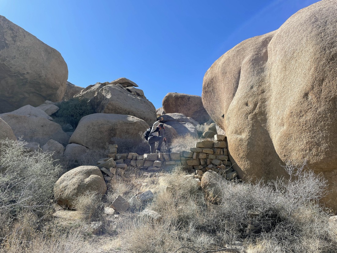
Crazy Horse checks out a rock fence.
|
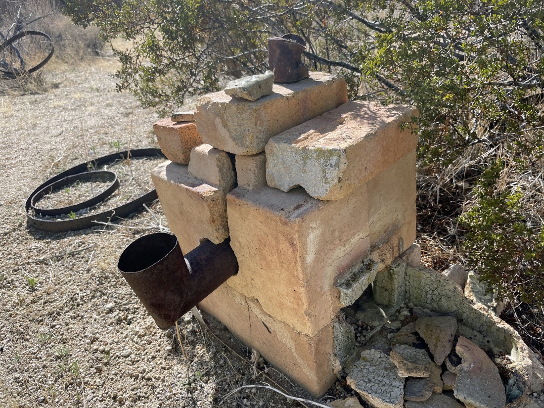
Looks like a kiln... probably belongs to Johns Camp.
|
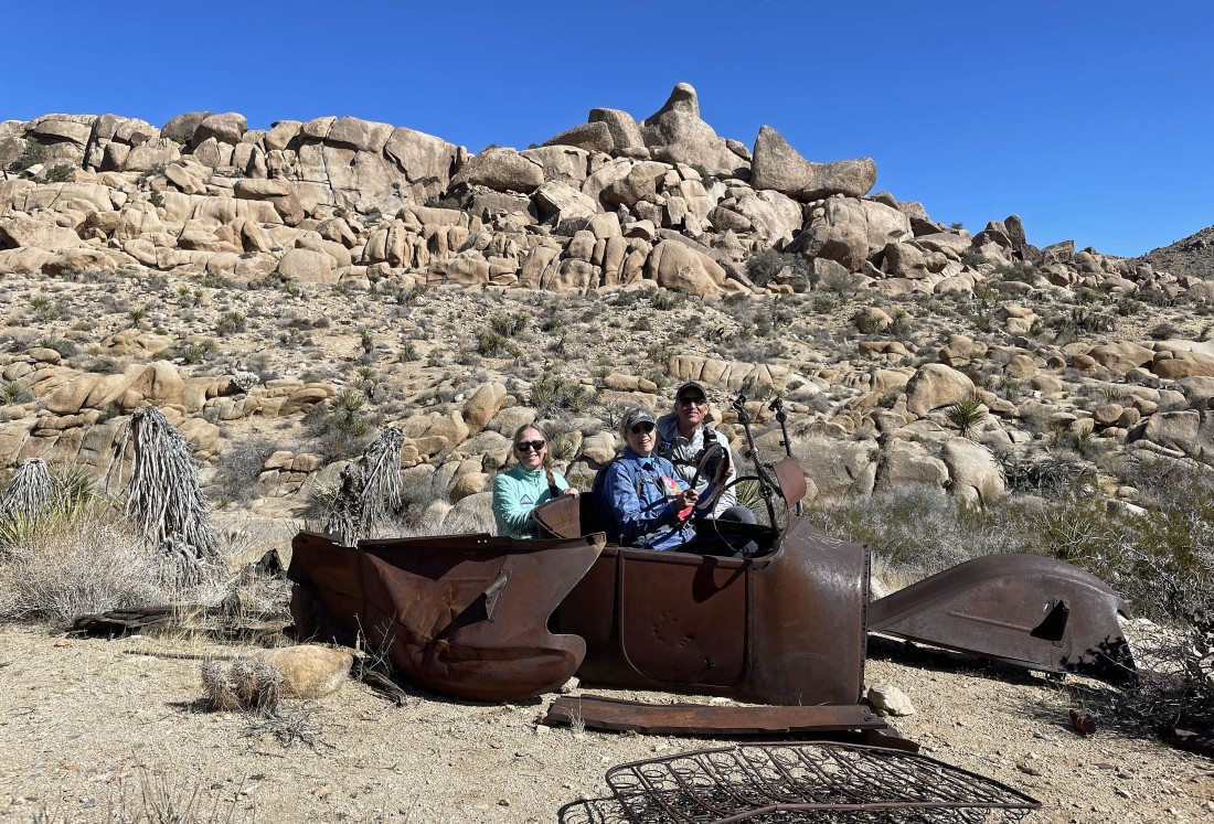
After hiking a total of 1.5 miles we have found an old rusted truck... Denali Girl will be the driver for Star Dancer and Crazy Horse... we will circumnavigate our way around the rock formations in the distance.
|
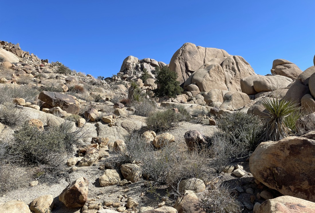
Circumnavigating the rock formations in the distance... the high point is Point 4202 on the USGS Map... and we will see if we can find a route up to the top,
|
Still looking for a route up to Point 4202 as we continue to circumnavigate it.
|
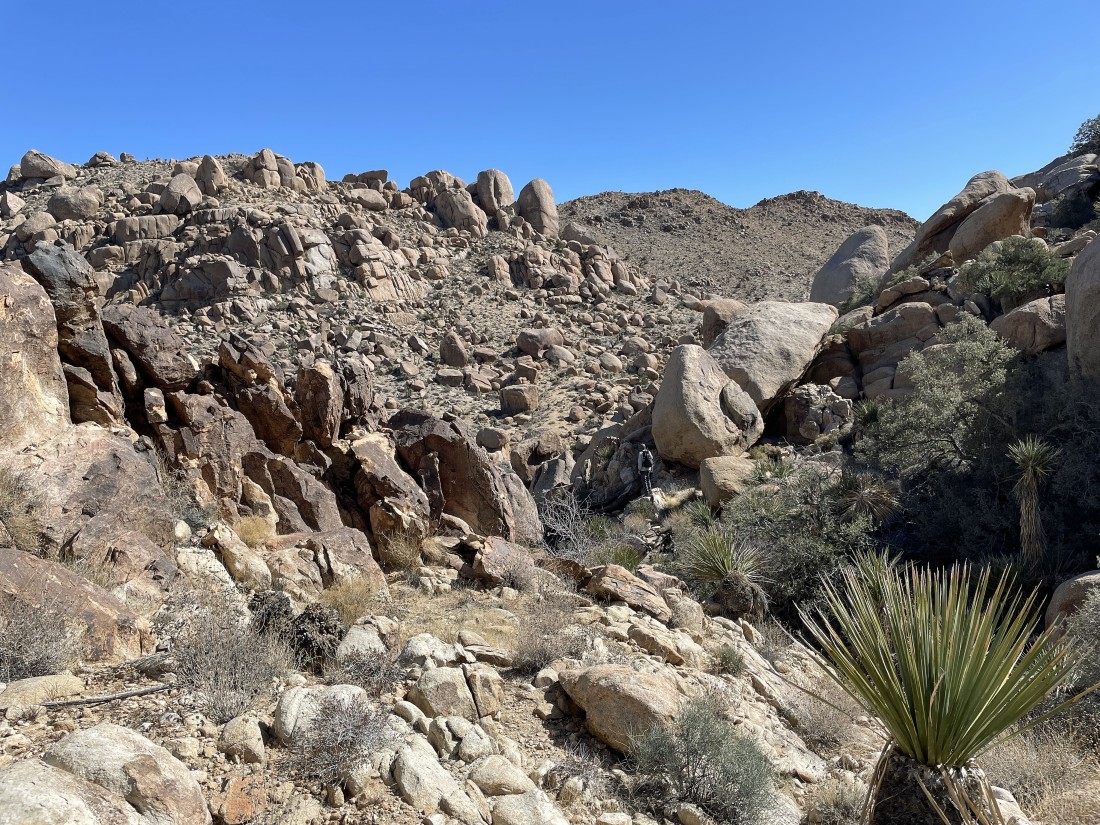
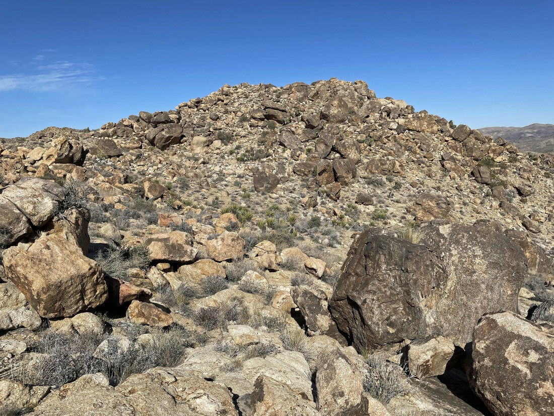
Point 4202 is in the far right foreground... we are half way around it and still haven't found a route to the top.
|
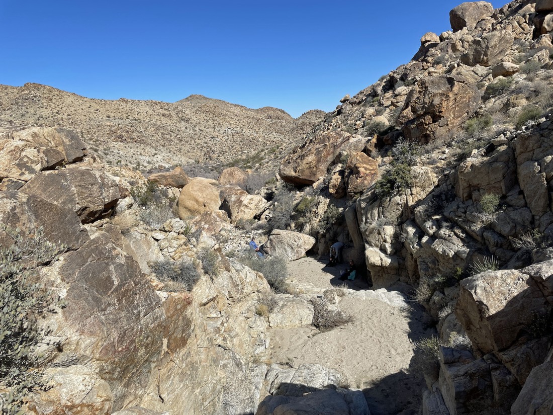
Crazy Horse found a nice resting place... we are now three quarters of the way around Point 4202 and still haven't found a route to the top.
|
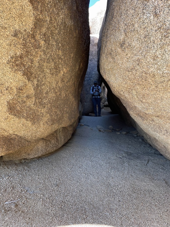
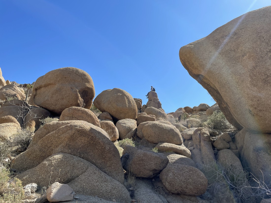
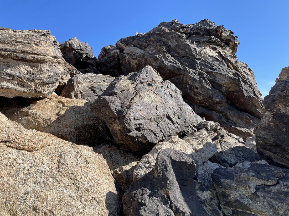
After hiking a total of 2.5 miles we have found some incredible passages in the rocks on the east side of Point 4202... but still no route to the top.
|
We have given up on Point 4202 and now heading back to the car.
|
I decided to explore some unnamed points.
|
Continuing to explore some of the unnamed points... pretty easy travel.
|
|
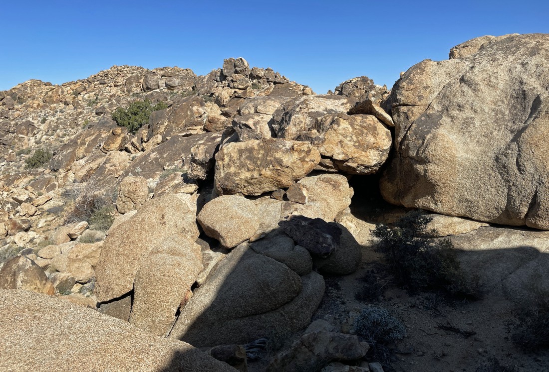
After hiking 3.8 miles I have reached my high point of 4184 feet... but that pile of rocks out there in the far right foreground looks interesting.
|
Nearing the top of the rock fromation in the previous photo... looks kind of gnarly, but actually pretty easy.
|
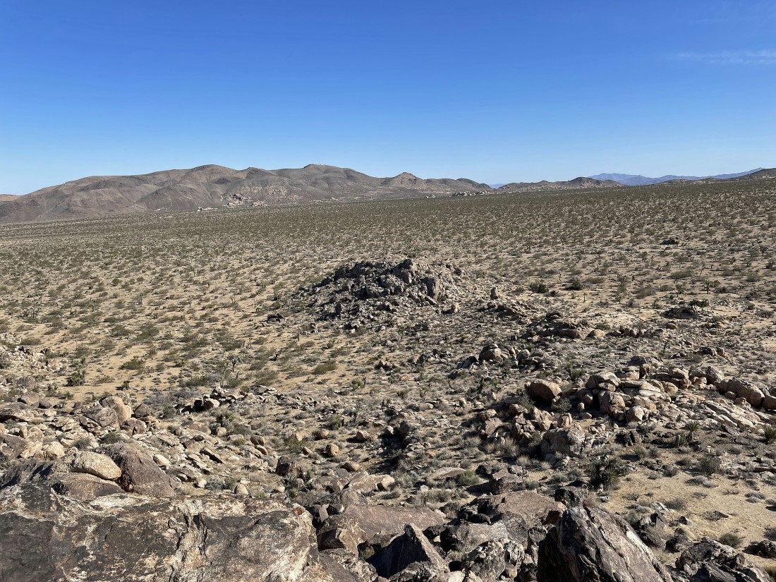
Out of the foothills now... with our car out there approximately one mile away... with the western section of the Pinto Mountains on the horizon.
|
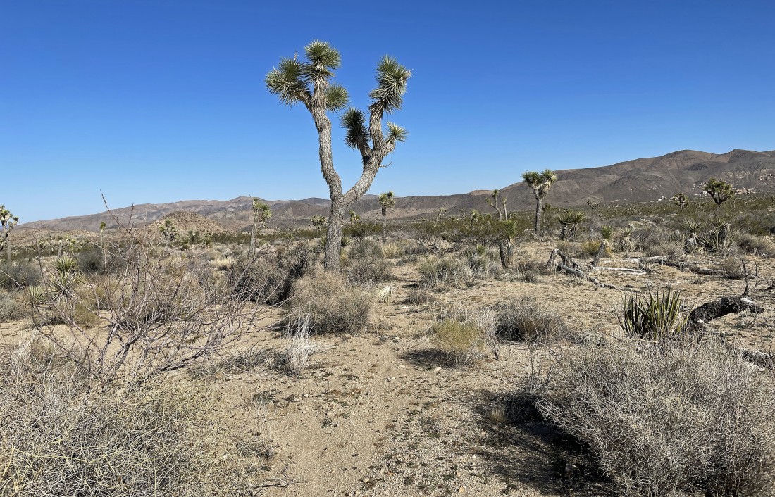
Back on the desert floor as I head for the car.
|
I can see the car... the total hike was 4.9 miles, gaining 712 feet of elevation.
|
