Little Utah Canyon - 2.14.2023
The Coachella Canal (aka All-American Canal) is located just east of the unincorporated community of Mecca, California... from the canal, drive 4.5 miles on Box Canyon Road and park on the left (north) side of the road.
|
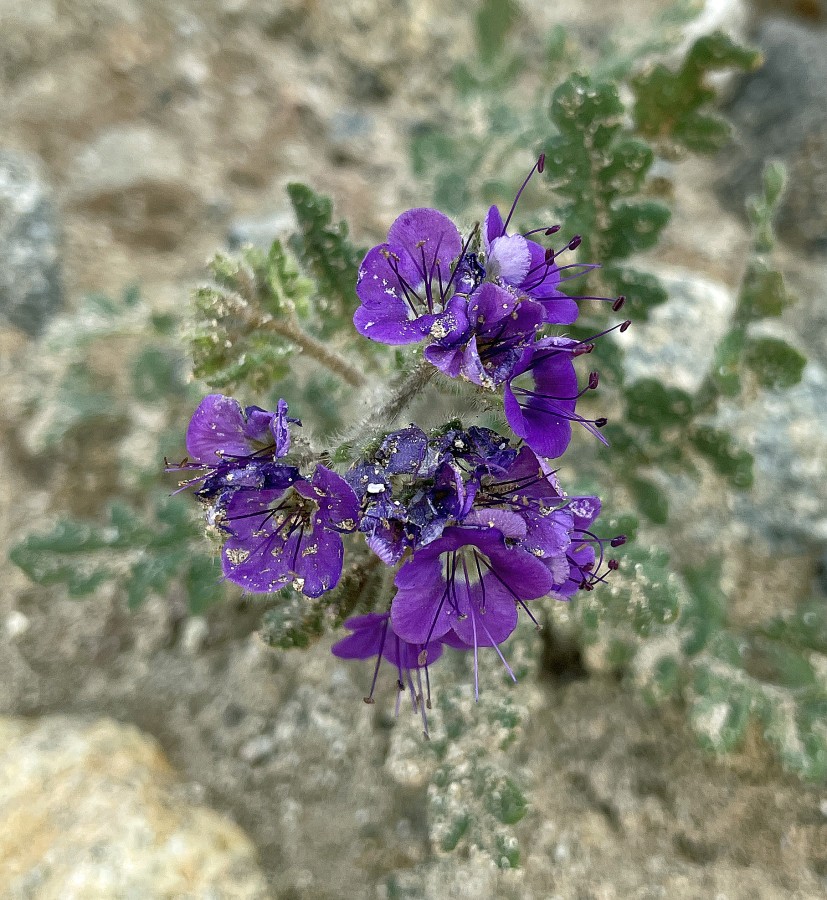
Denali Girl says it is a Cusick's Speedwell.
|
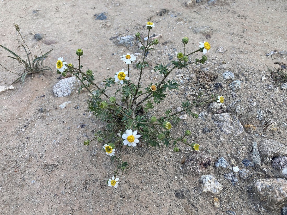
Pretty... but no idea what it is.
|
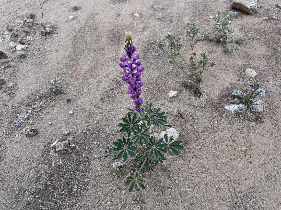
Desert Lupine.
|
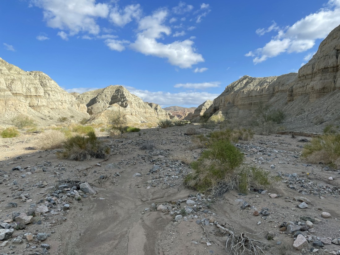
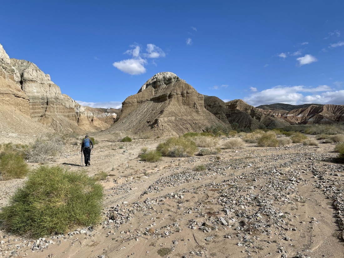
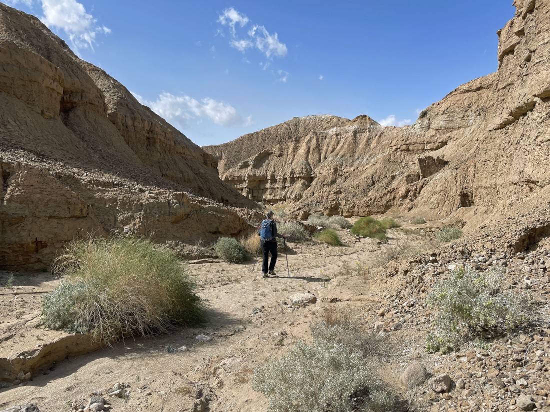
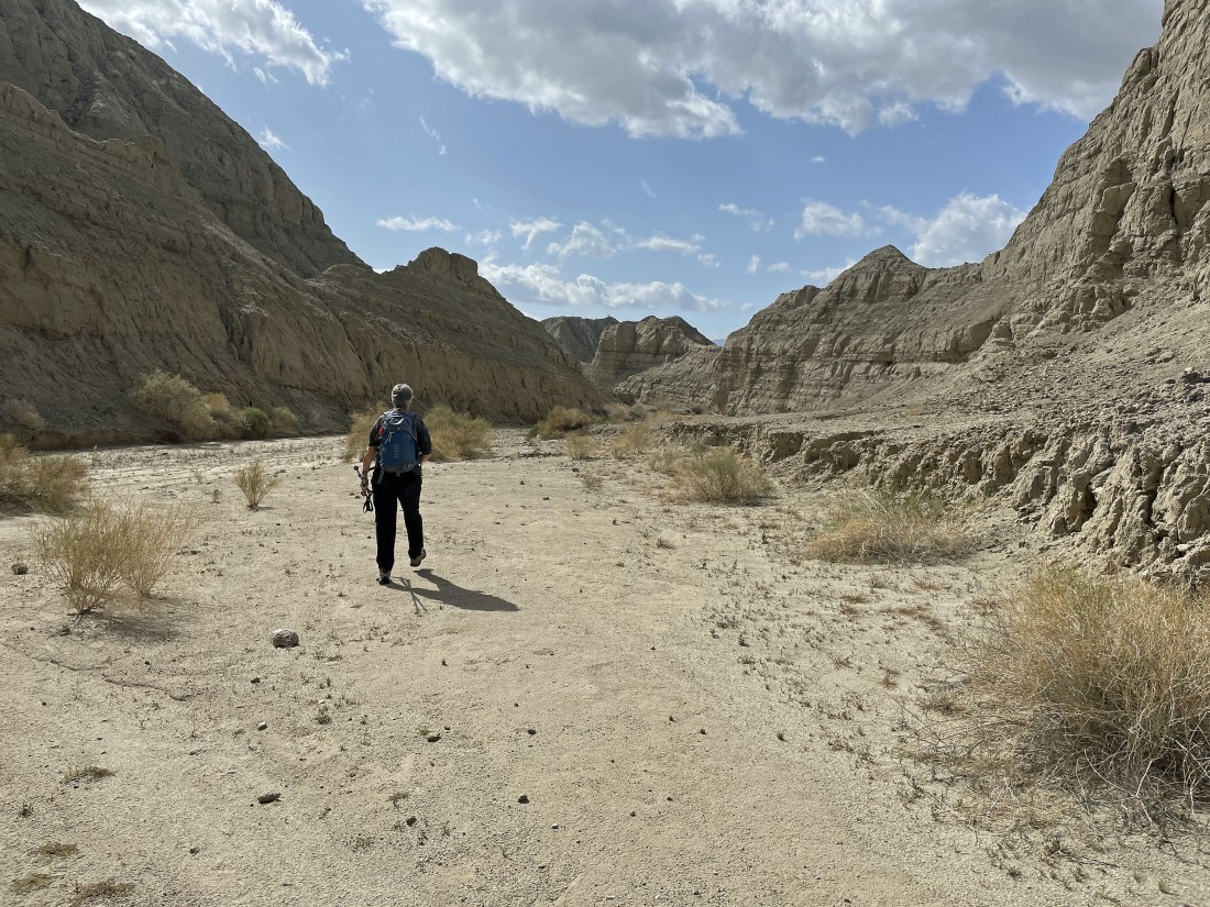
The canyon is very wide at the beginning of our hike.
|
We think it is a Mojave Woddyaster.
|
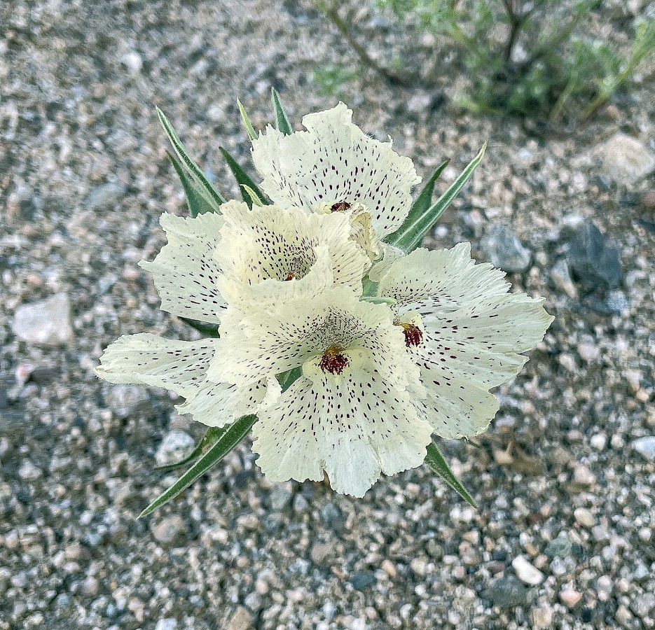
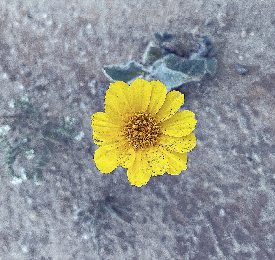
Ghost flower.
|
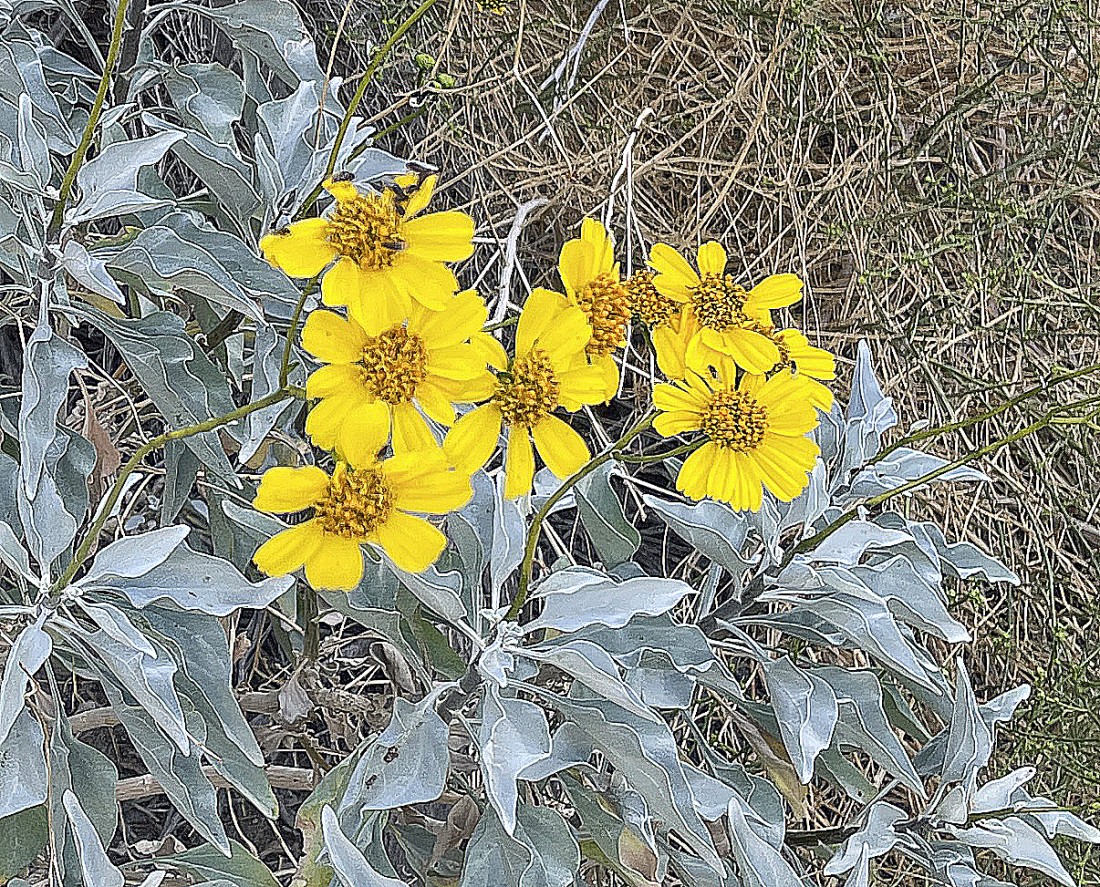
Brittlebush.
|
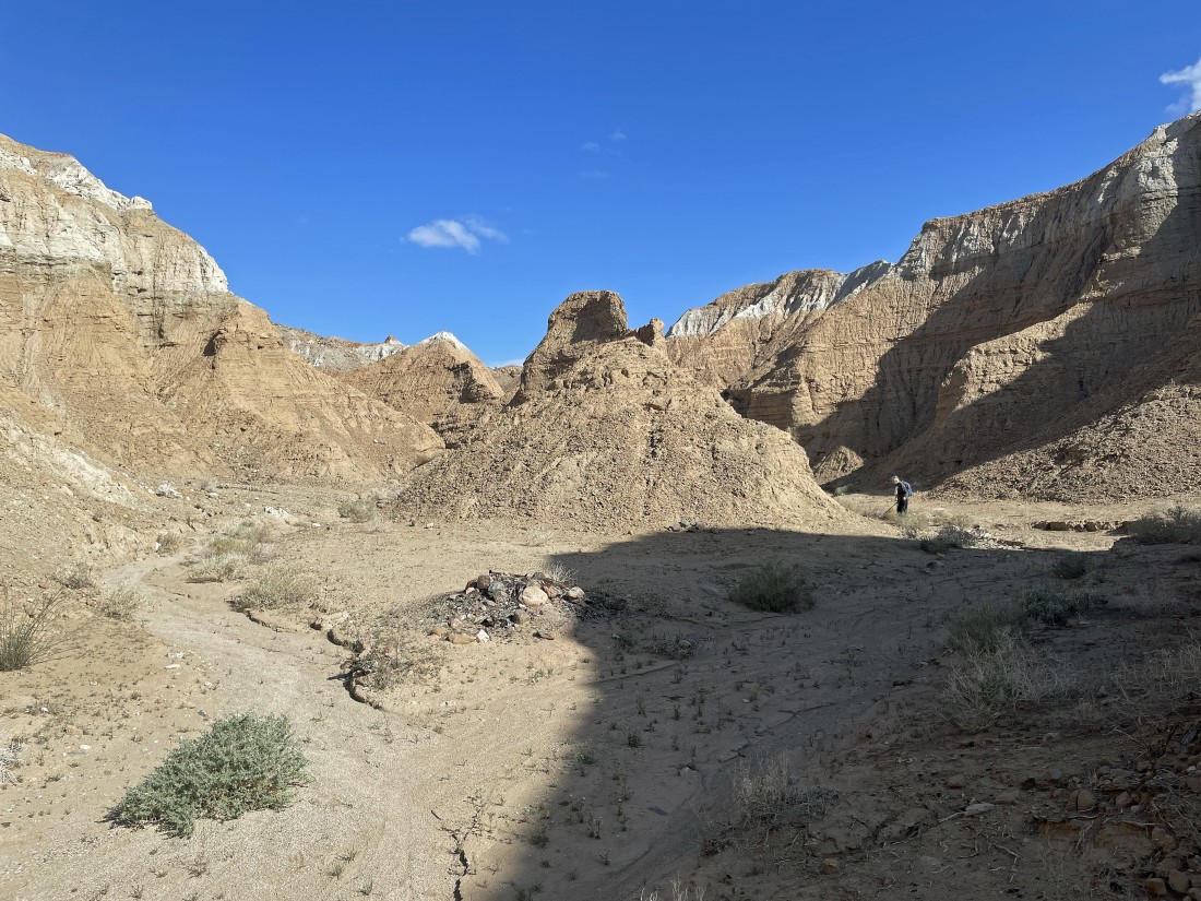
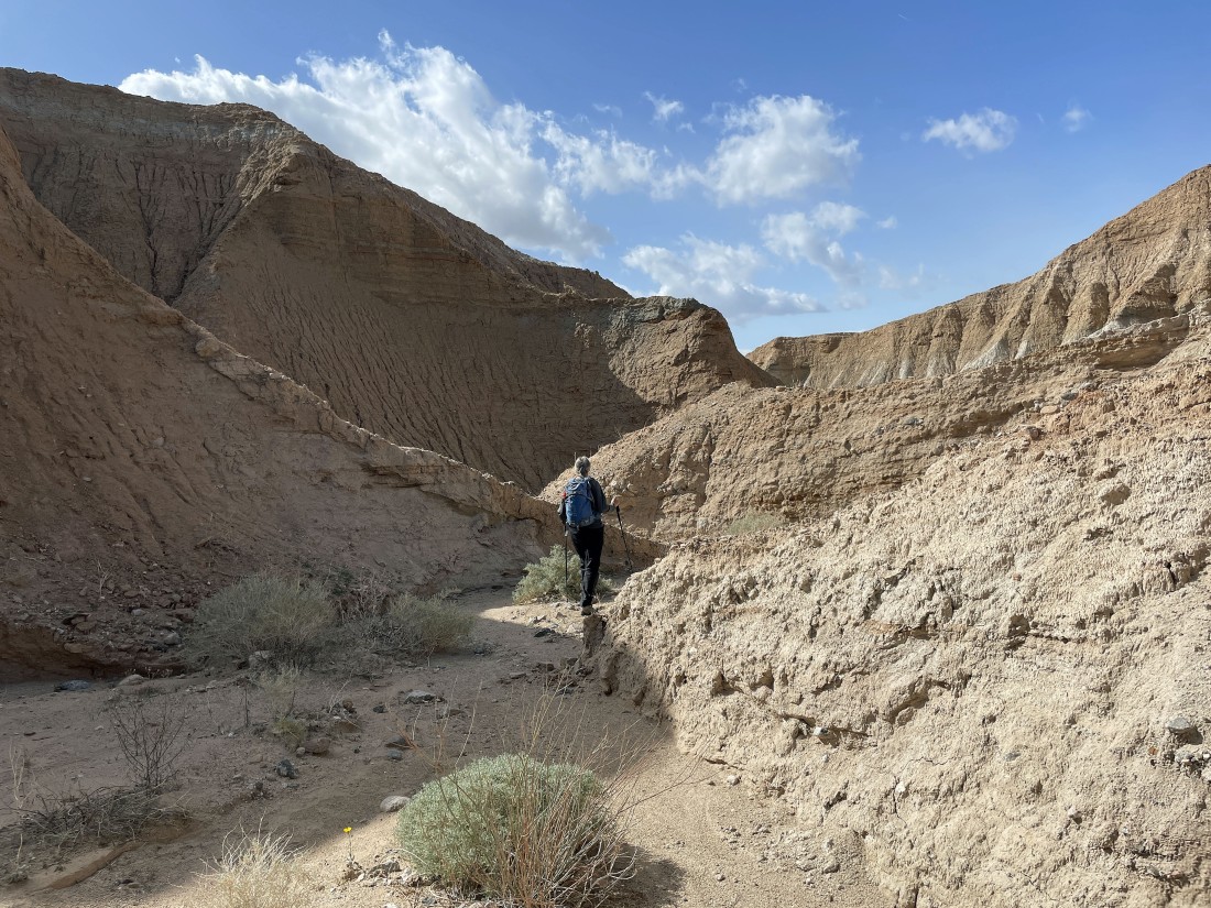
Continuing to walk up the wide canyon... up ahead we will take the left fork.
|
Taking the first left fork... as the canyon narrows some.
|
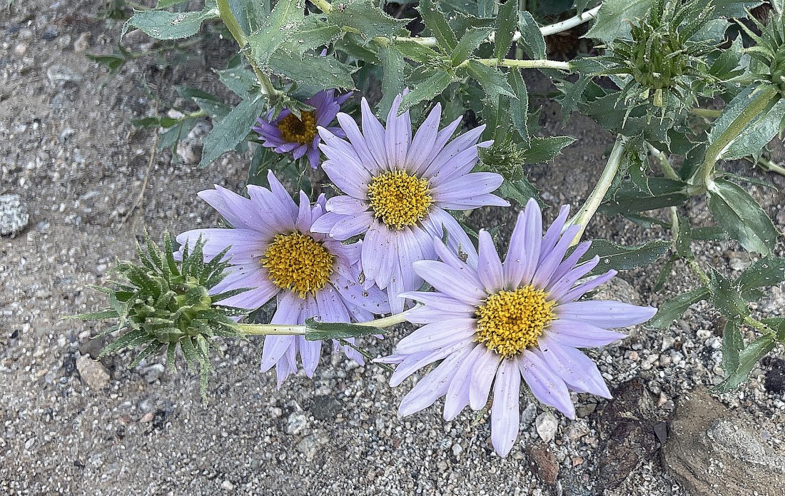
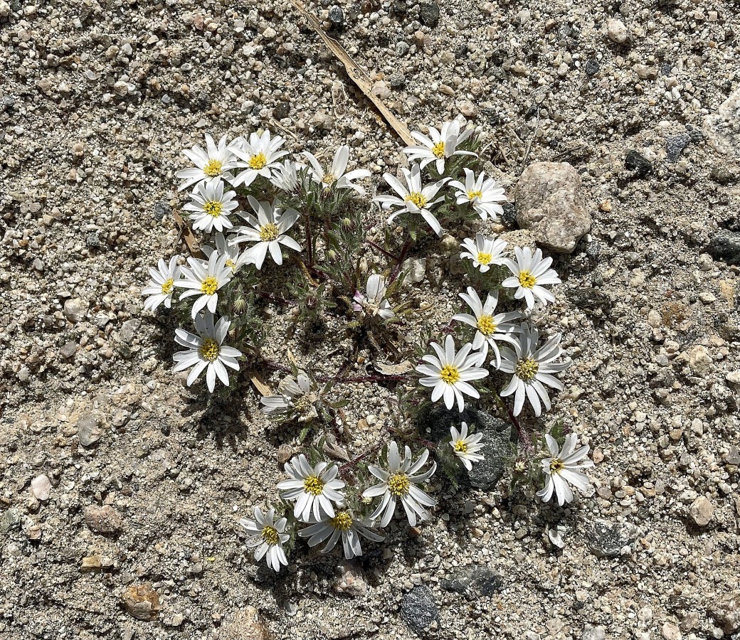
Denali Girl calls it a Rock Daisy.
|
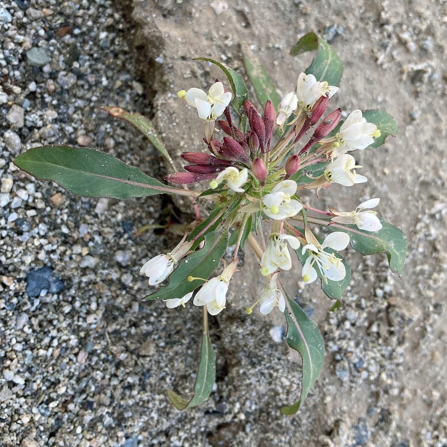
No idea.
|
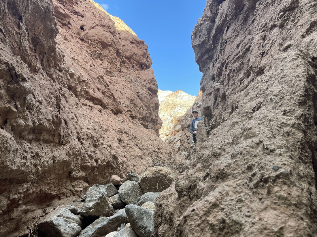
After hiking a total of .8 miles the canyon really narrows.
|
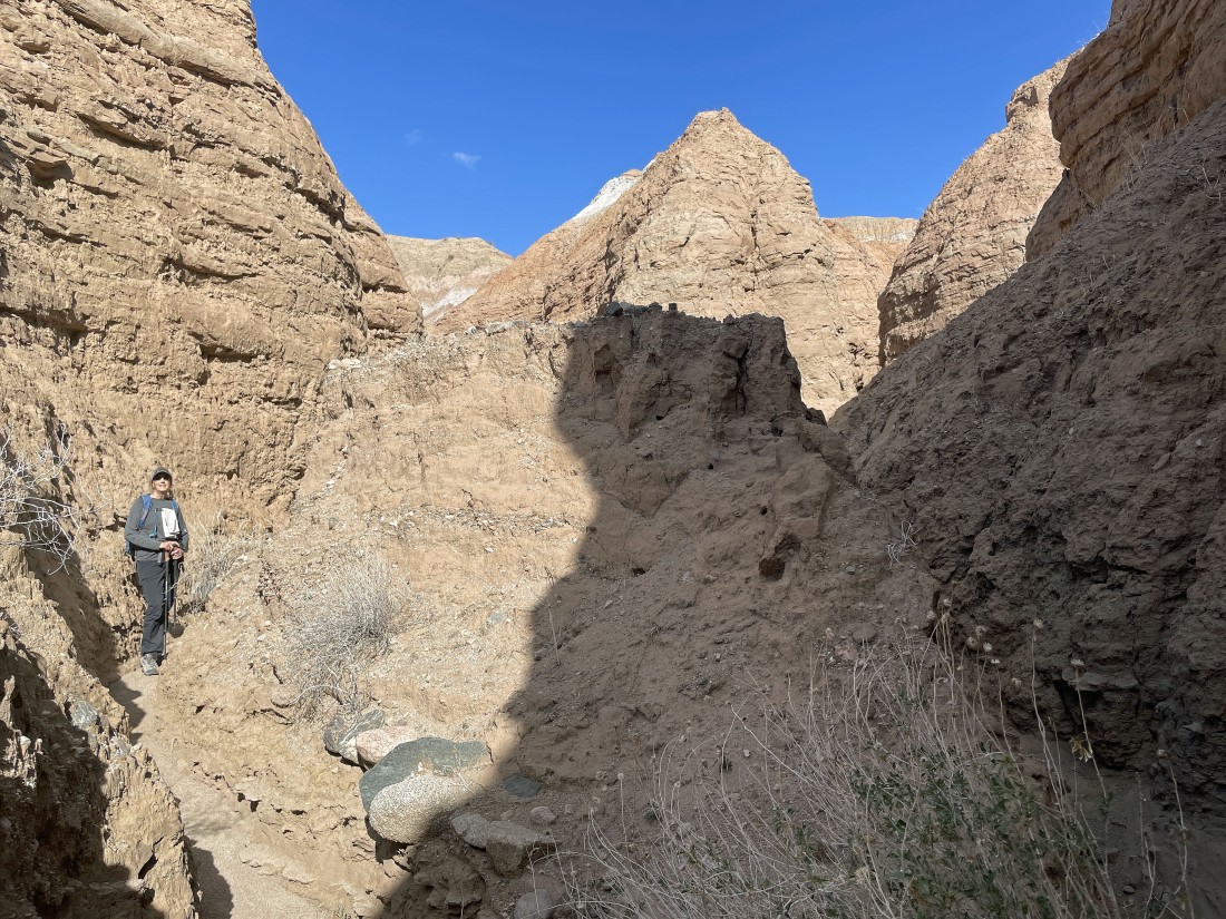
Welcome to the very narrow section of our canyon hike.
|
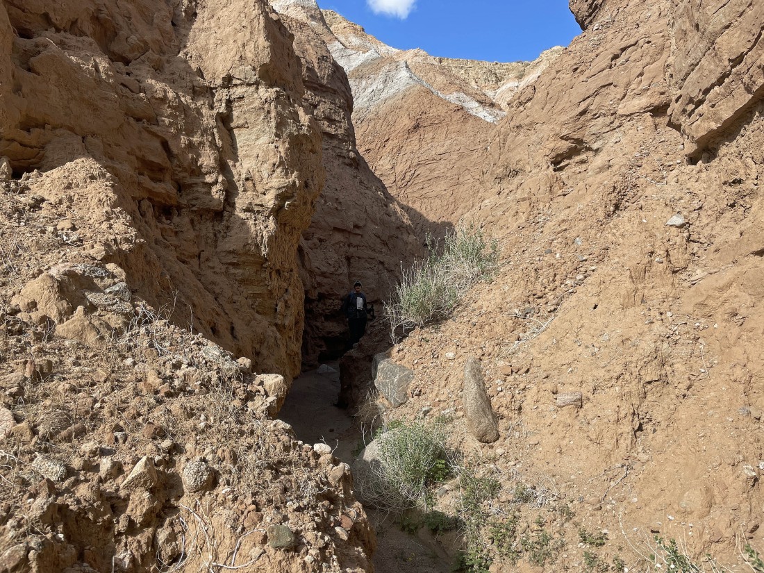
Very narrow.
|
Very narrow.
|
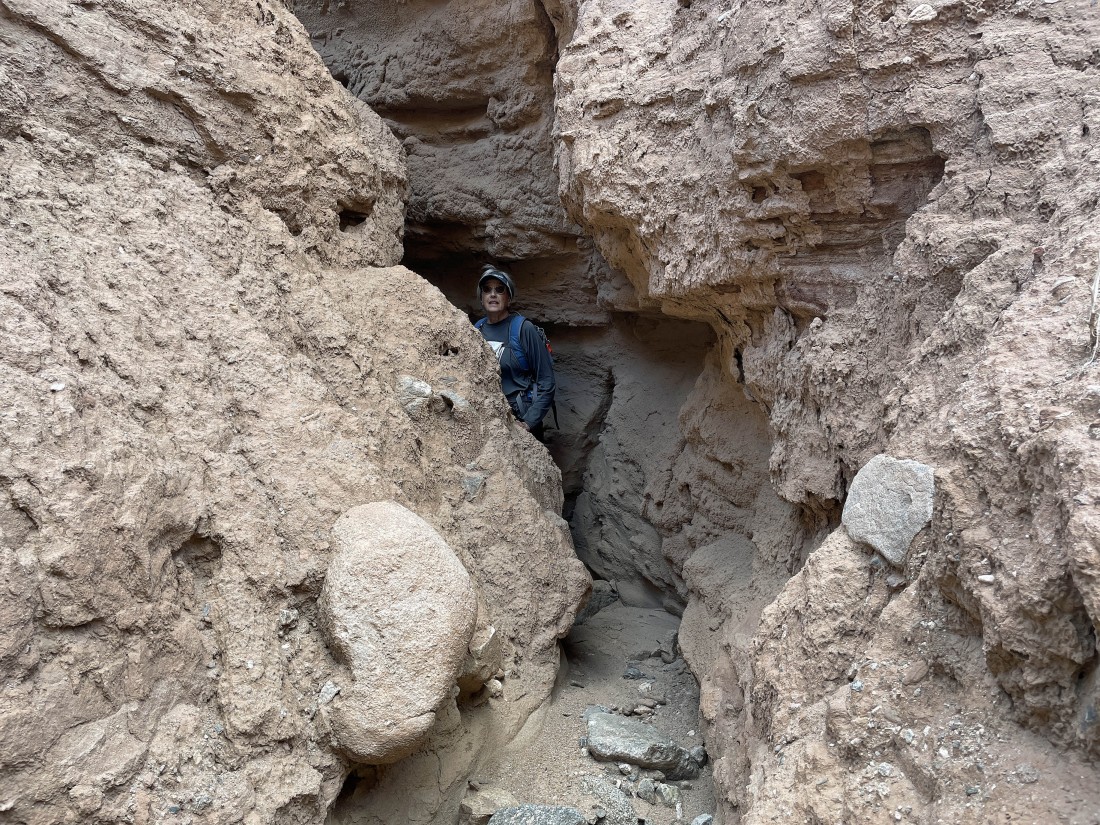
Very narrow... don't want to be here when the water is flowing.
|
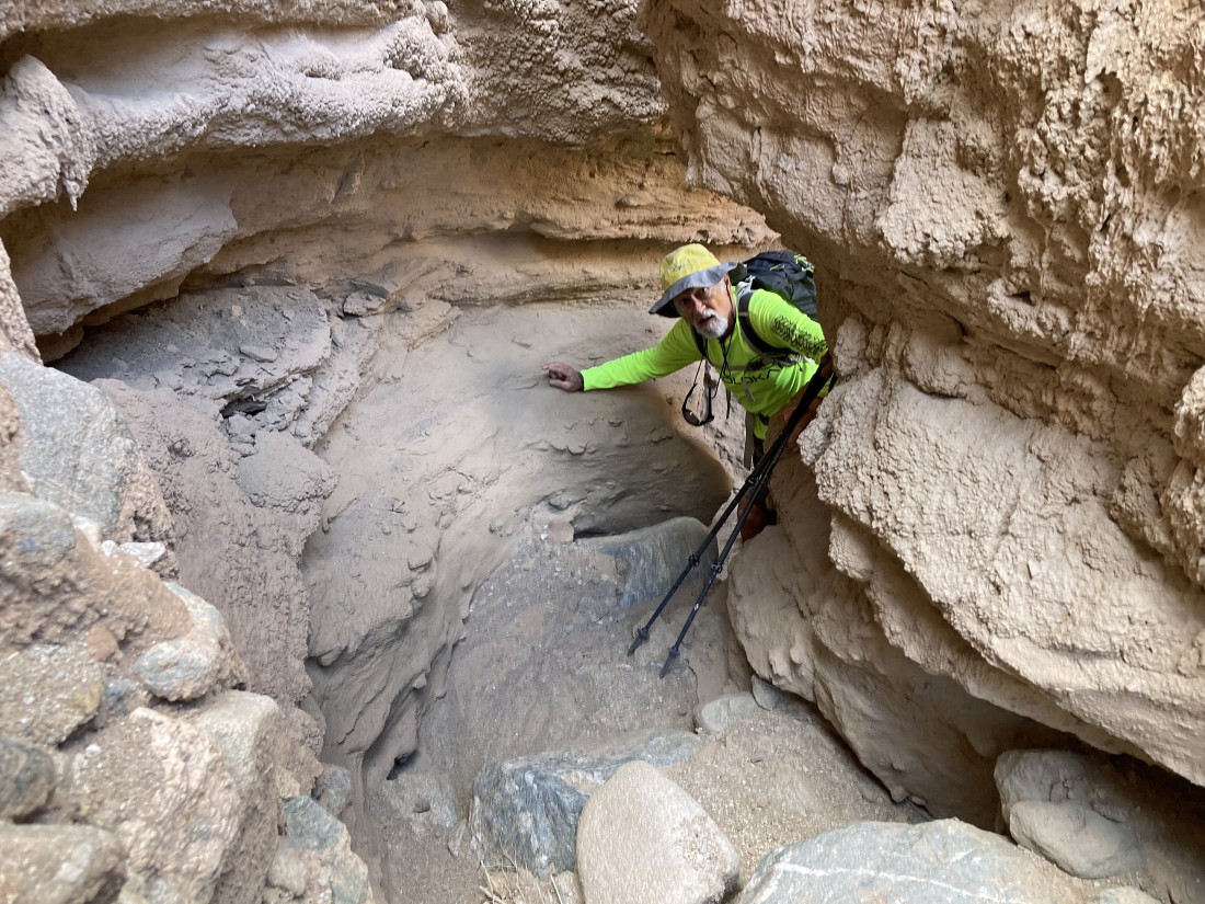
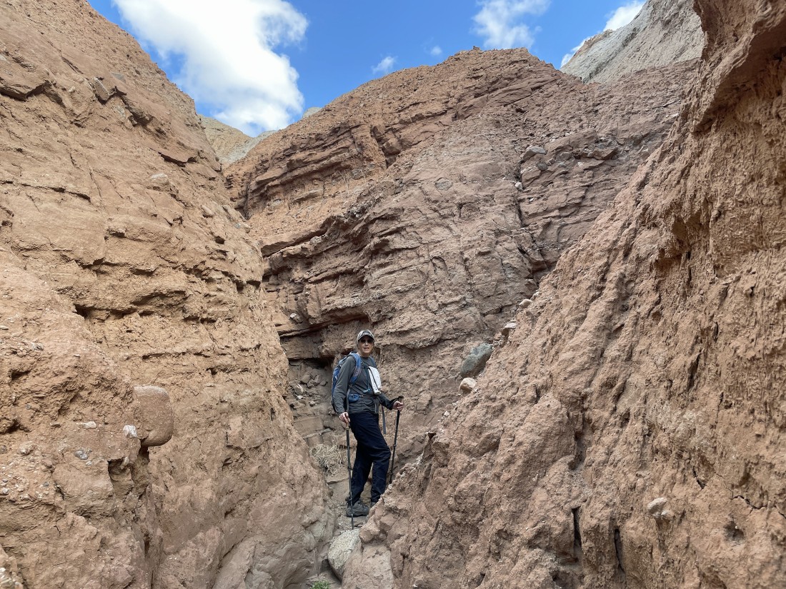
Denali Girl took this photo of me in the narrow section of the canyon.
|
Still gaining a little elevation in the narrow section of the canyon.
|
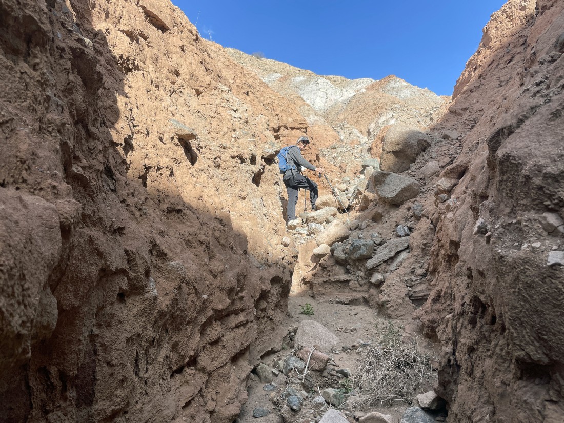
Getting ready to exit the canyon.
|
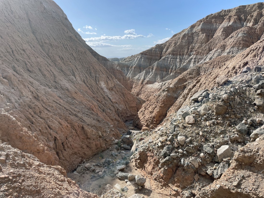
Looking back down the canyon as we begin to exit it.
|
Denali Girl coming up out of the canyon where the canyon has eroded a lot over the years.
|
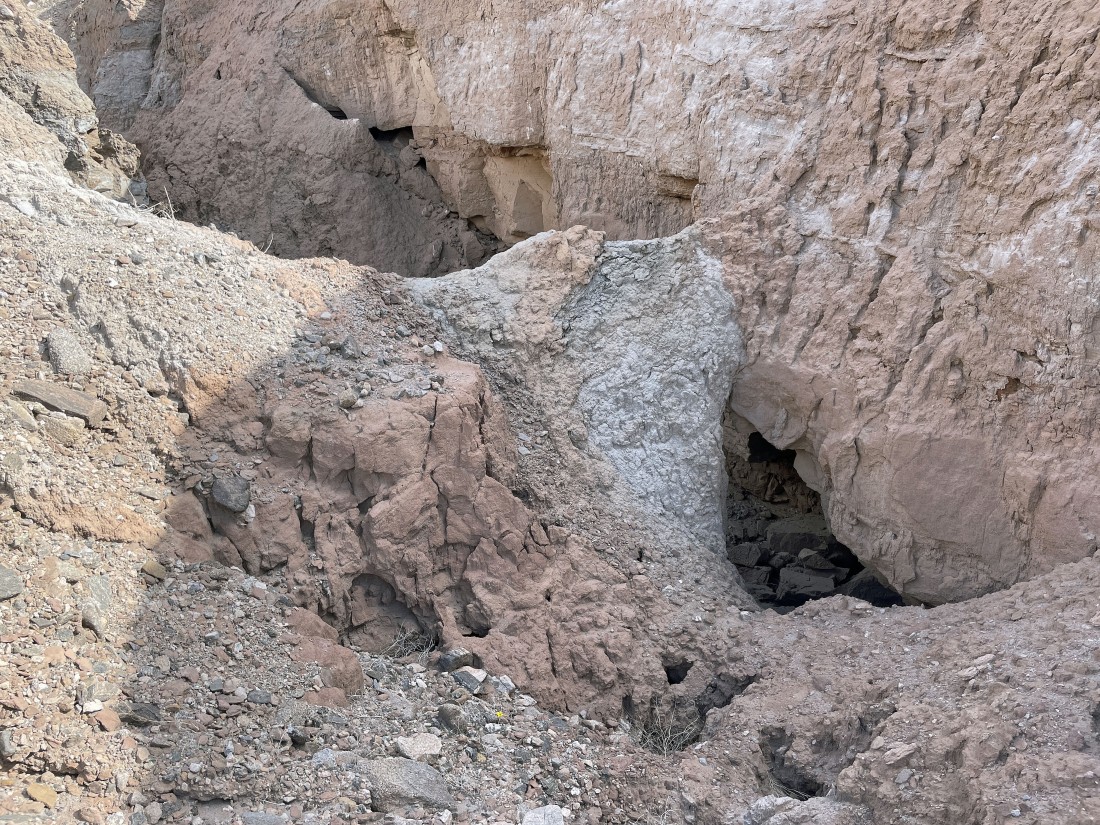
A closer look at some of the canyon erosion mentioned in the previous photo.
|
I'm watching Denali Girl come up out of the canyon to join me... with the Orocopia Mountains on the far left horizon... the Salton Sea in the middle section horizon... and the Santa Rosa Mountains on the right horizon.
|
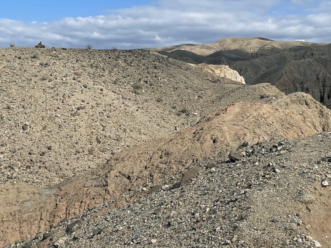
We can see a cairn on the far left horizon... and we are heading over there.
|
|
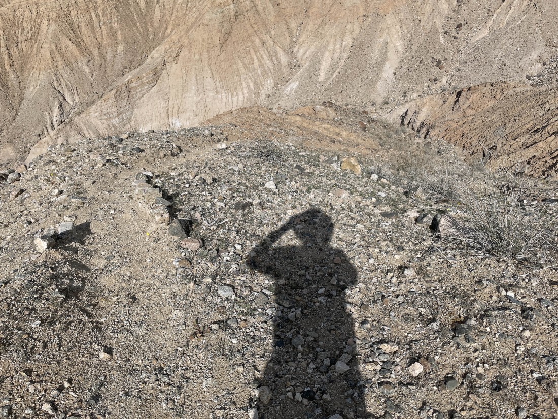
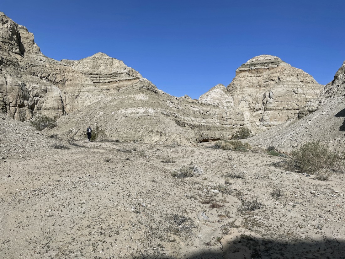
After hiking a total of 1.4 miles we are standing at the cairn shown in the previous photo... at 946 feet it is our high point for the day.
|
Still standing at our high point... exactly 5 years ago we returned to our car via the canyon on the left... but this year we will return to the car via the canyon on our right.
|
A little steep to get down to the canyon... but there is a path to help us get down there... and hiking poles are very helpful.
|
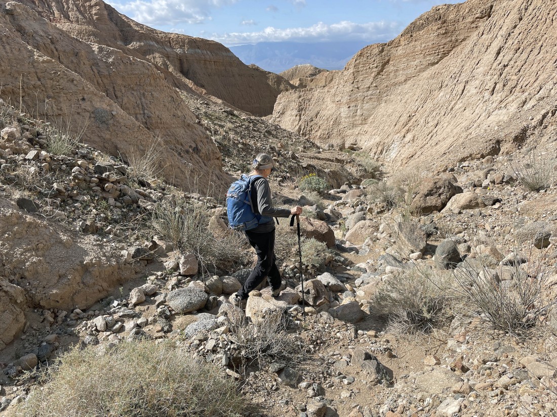
Back down in a canyon... much wider than the short, narrow section that we dealt with earlier.
|
Continuing to exit the canyon.
|
Continuing to exit the canyon.
|
Continuing out of the canyon... and after hiking a total of 2.6 miles we have reached the spot where our current canyon is meeting the canyon we exited 5 years ago.
|
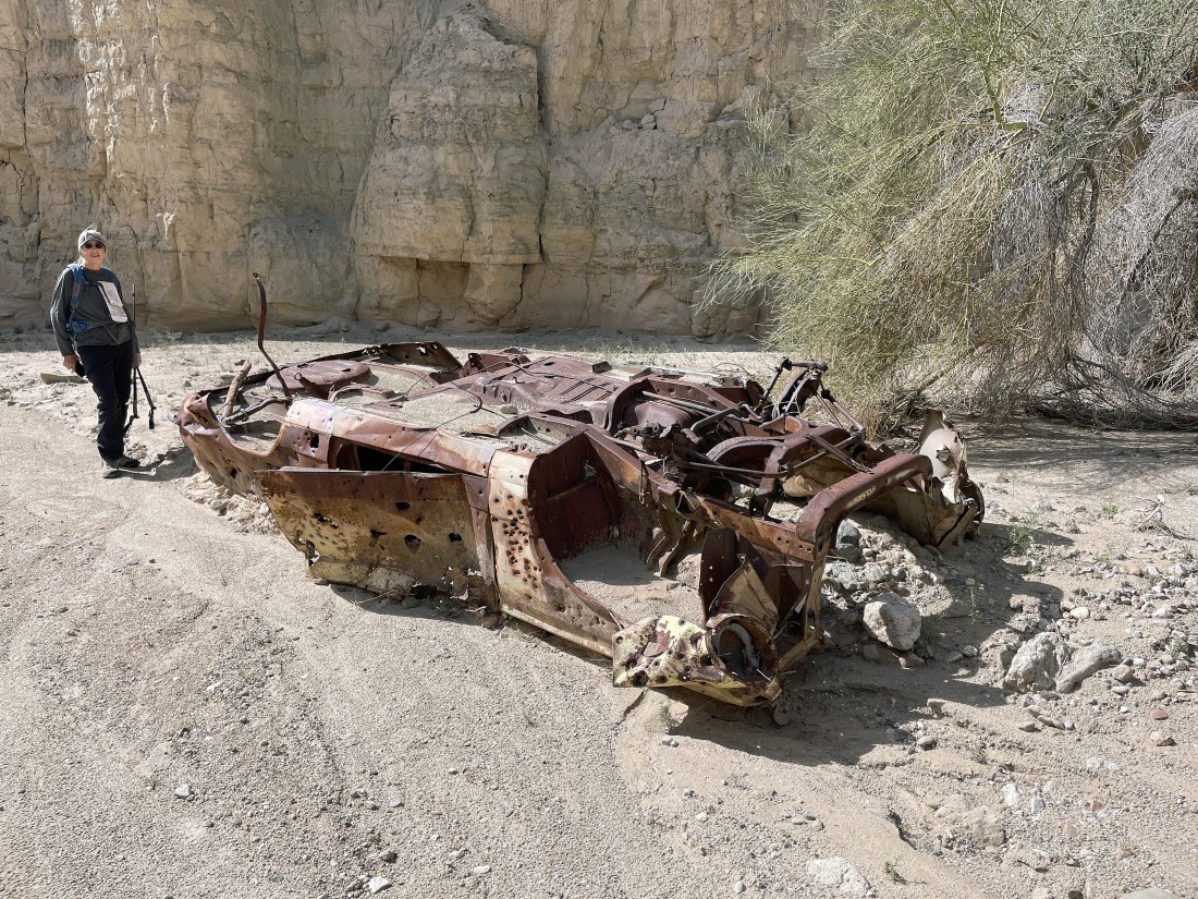
Glad this wasn't our Subaru Outback.
|
Denali Girl says it is a Daisy Desertstar.
|
Continuing to exit the canyon.
|
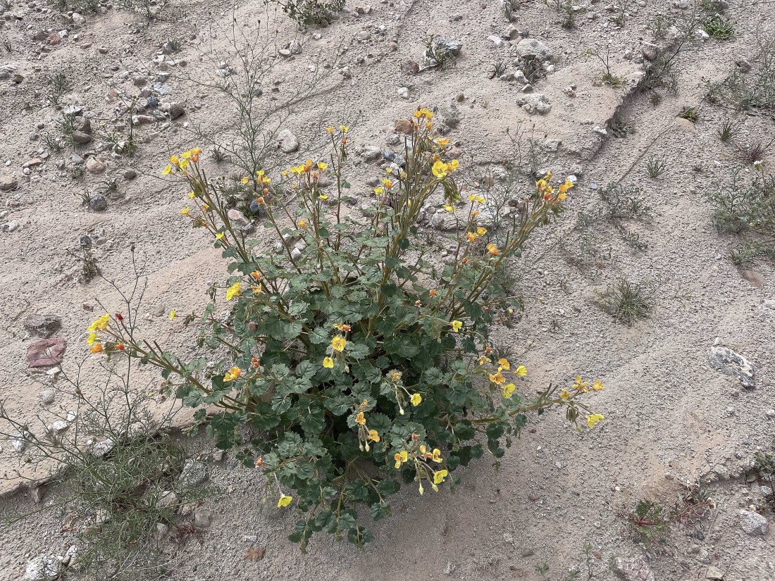
No idea.
|

Jimson Weed... one of Georgia Okeeffe's favorites.
|
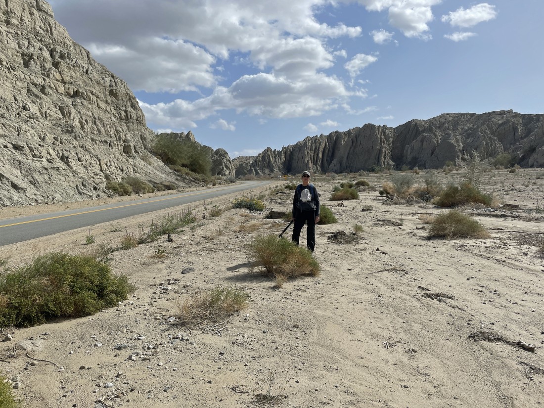
After hiking a total of 3.5 miles we have looped our way back to Box Canyon Road... still have a half mile road walk back to our car.
|
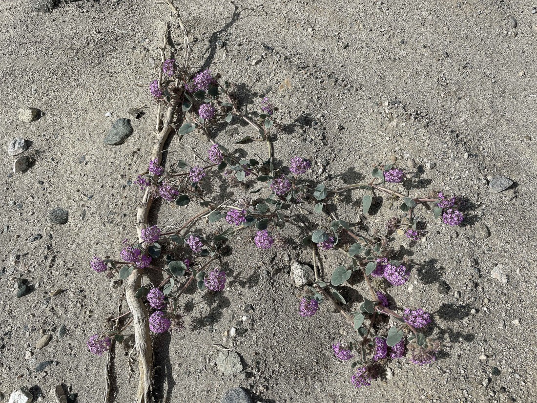
Denali Girl says that it is a Desert Sand Verbena.
|
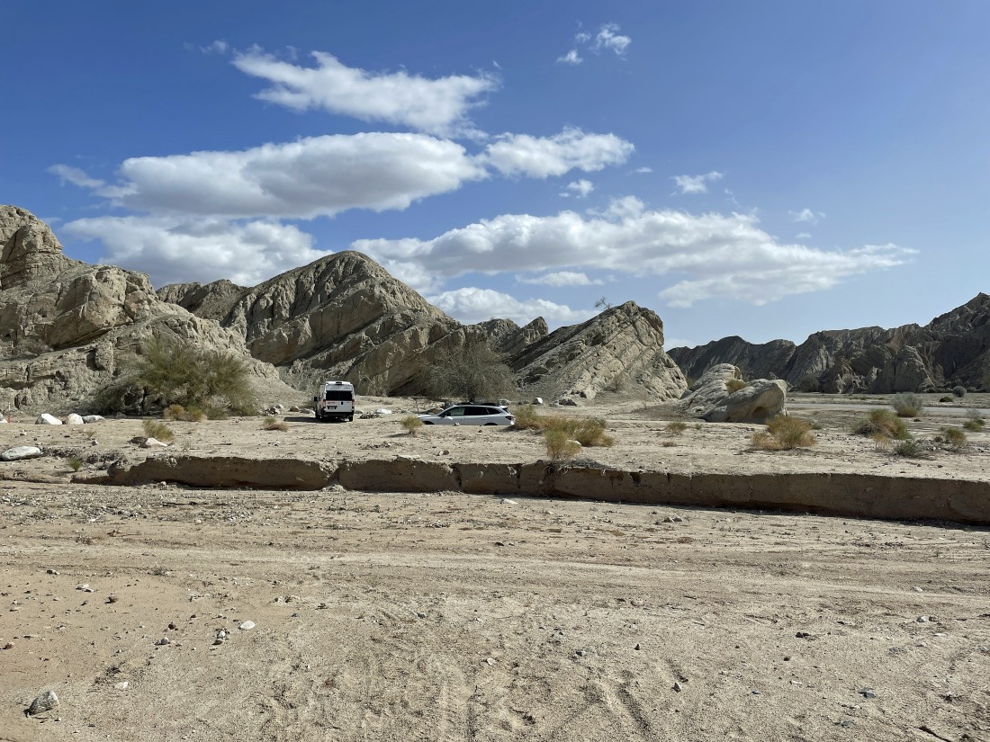
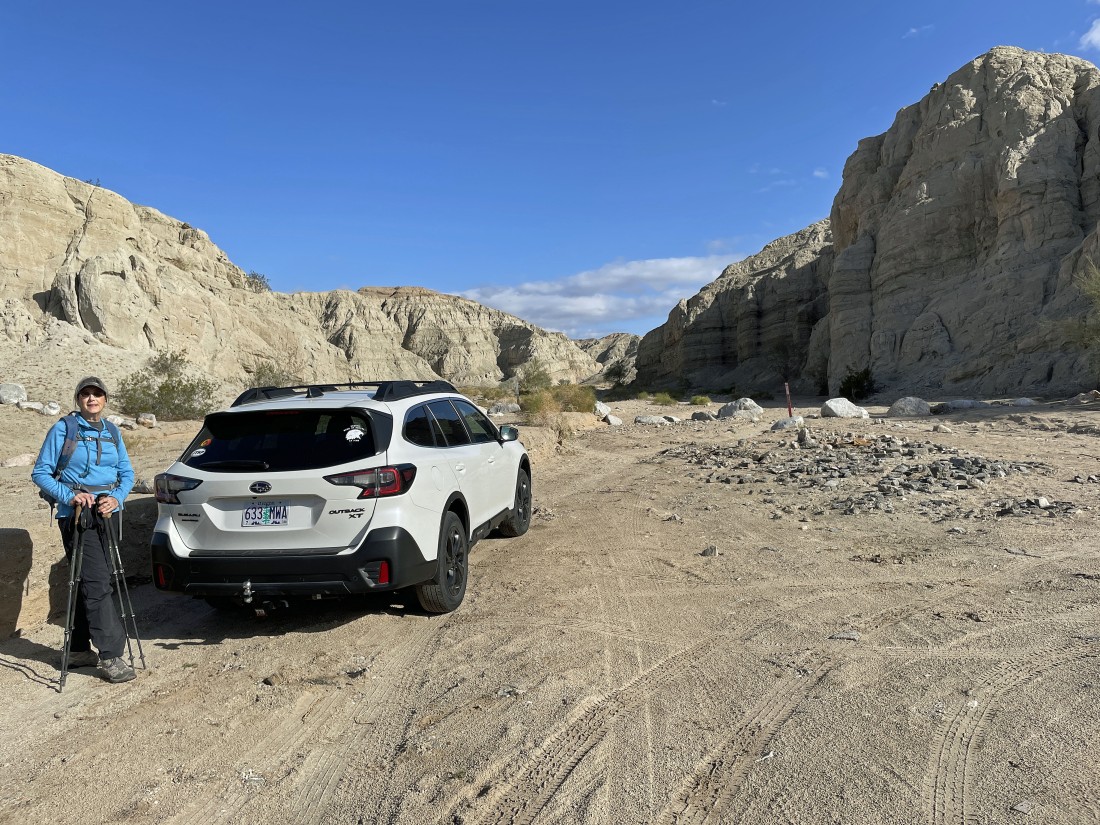
After hiking a total of 4 miles and gaining 399 feet of elevation we have closed the loop hike at our car.
|
