Valhalla Dome - 2.16.2023
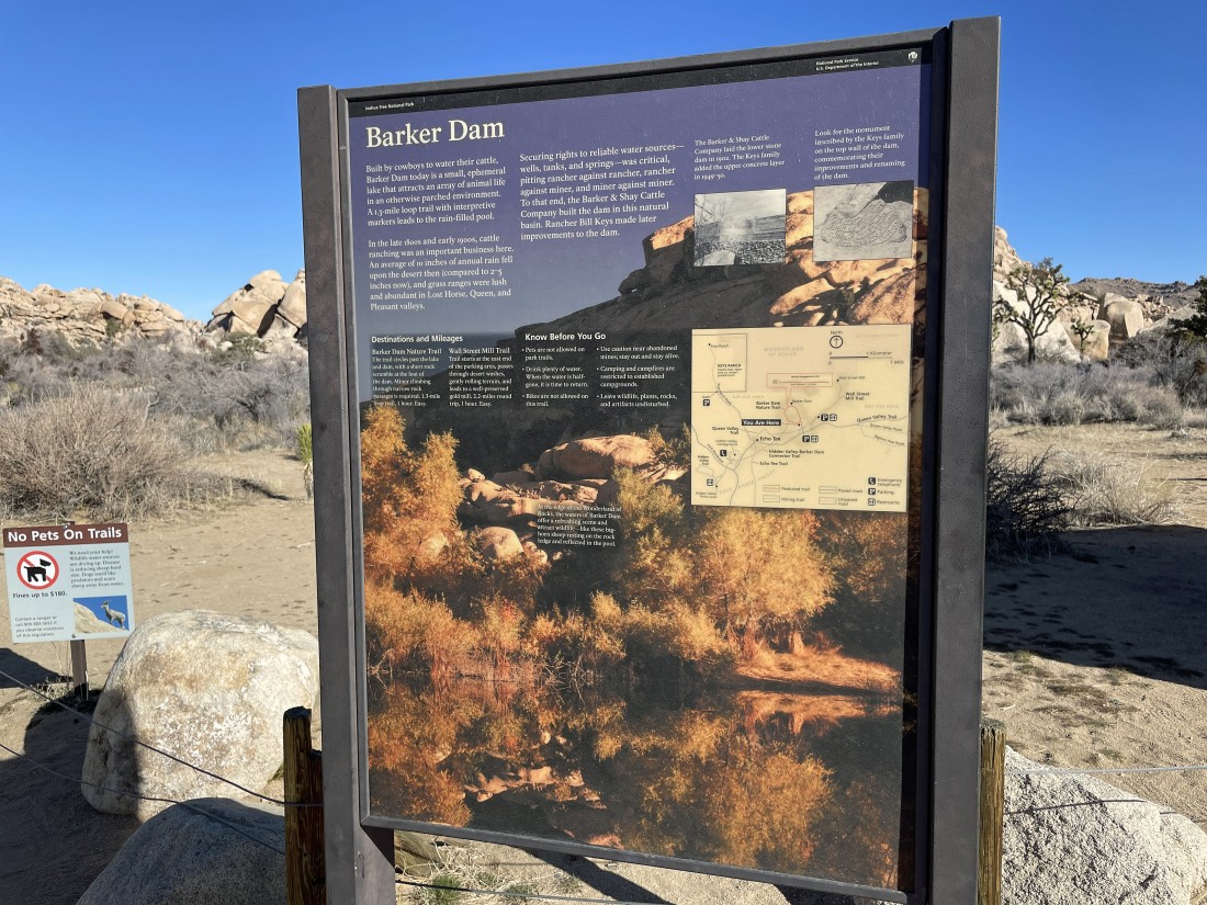
I parked at the paved parking lot for Barker Dam in Joshua Tree National Park... one of the two most popular hikes in the park.
|
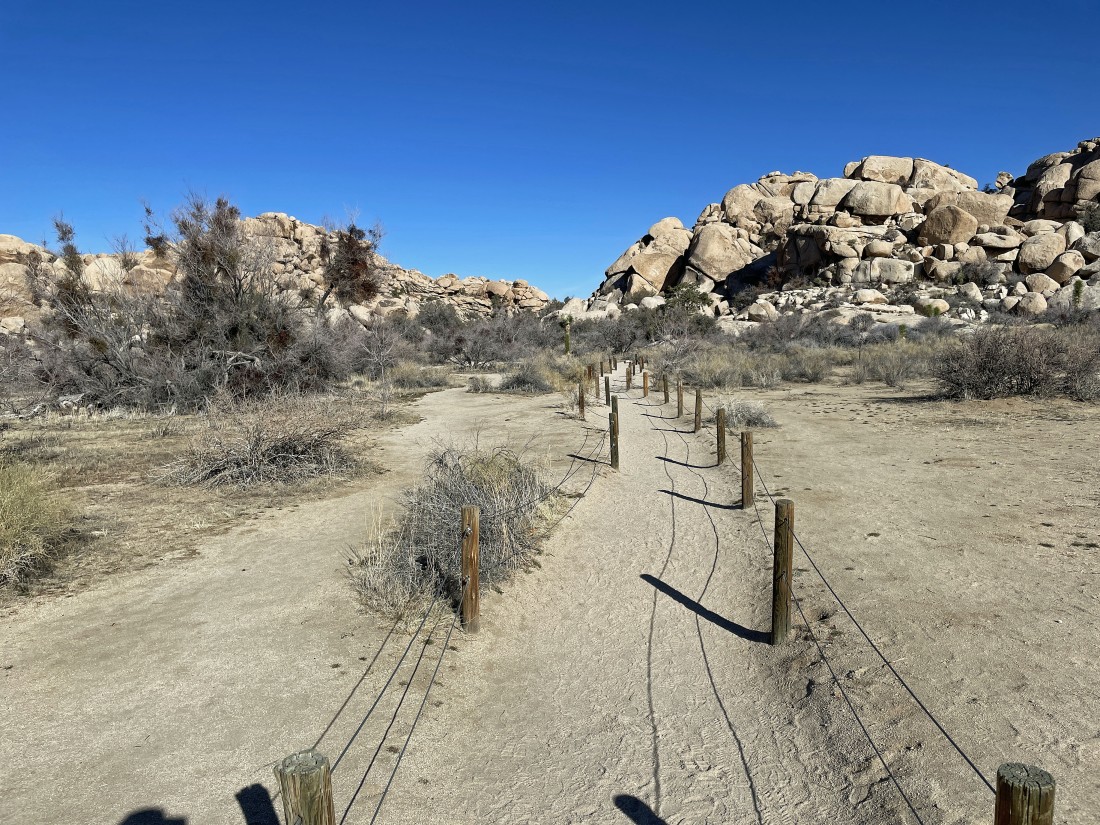
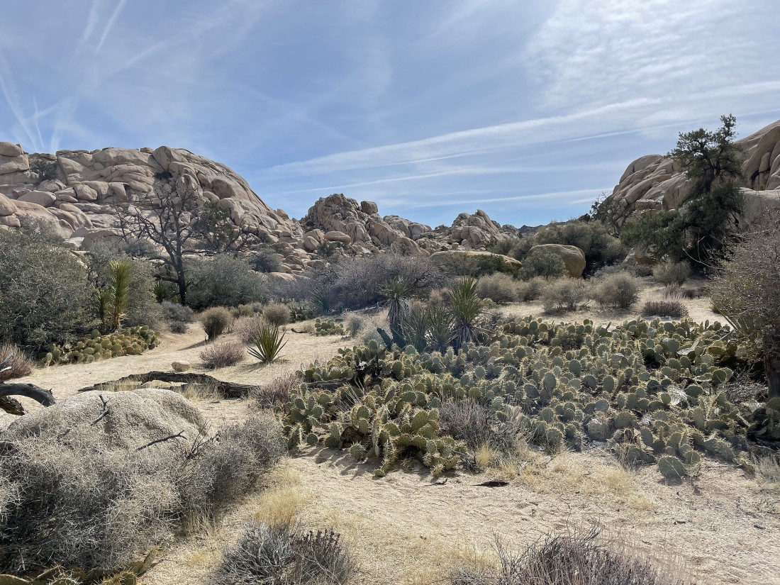
The park is trying to protect the desert some on the first few steps of the Barker Dam Trail.
|
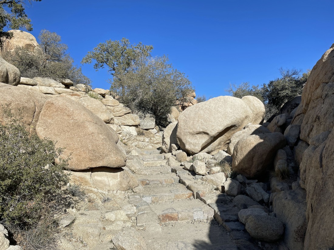
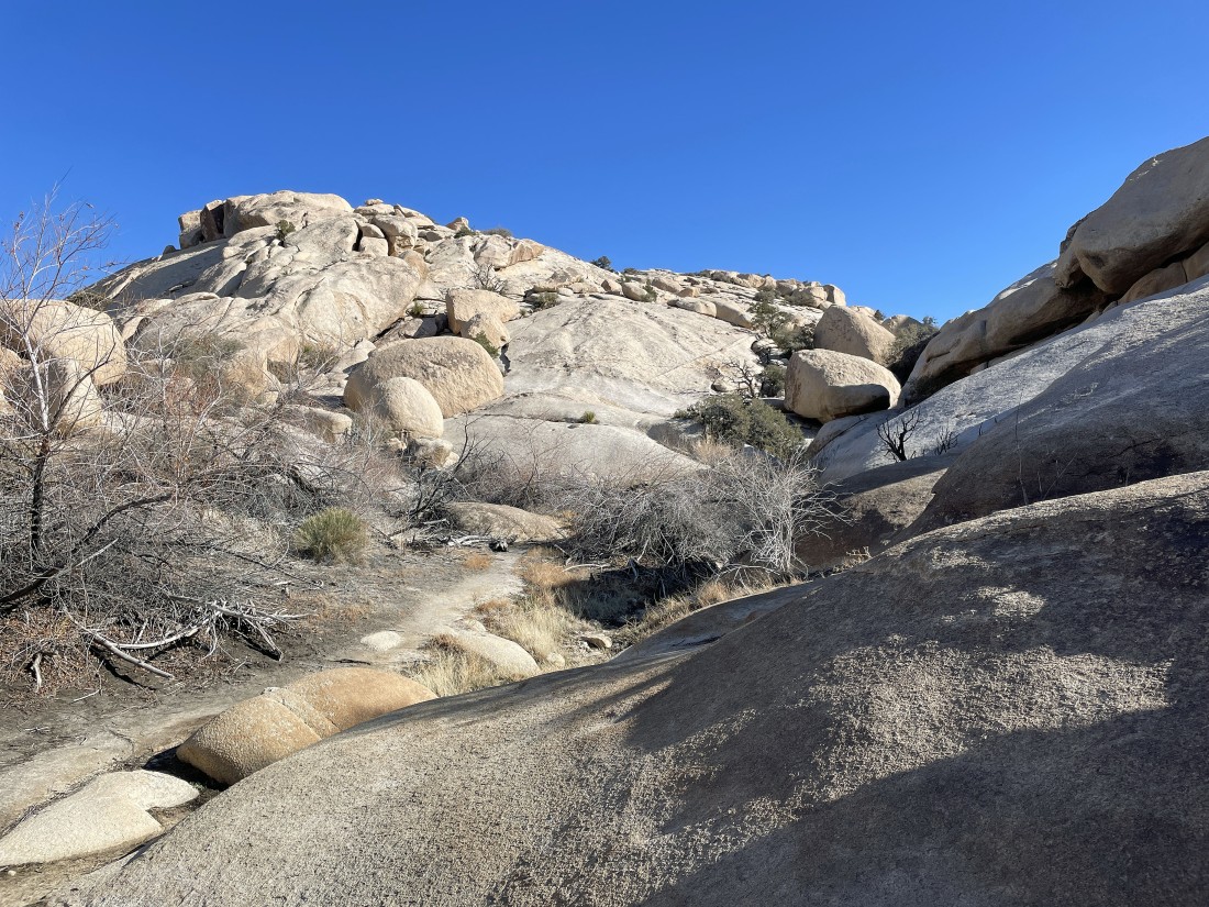
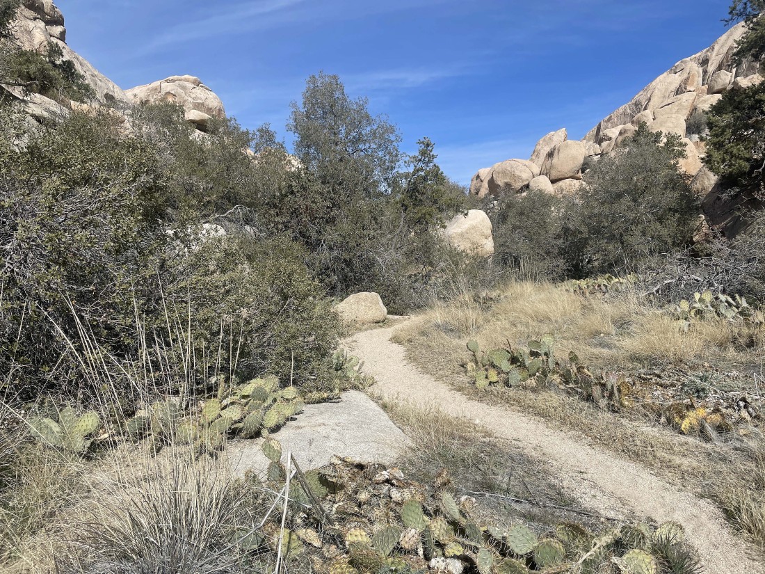
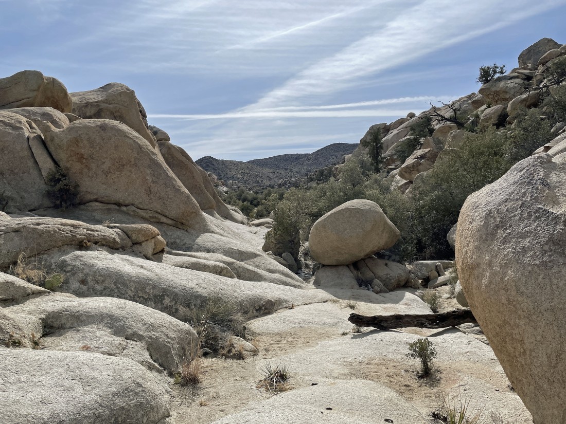
It doesn't take very long for the trail to narrow considerably.
|
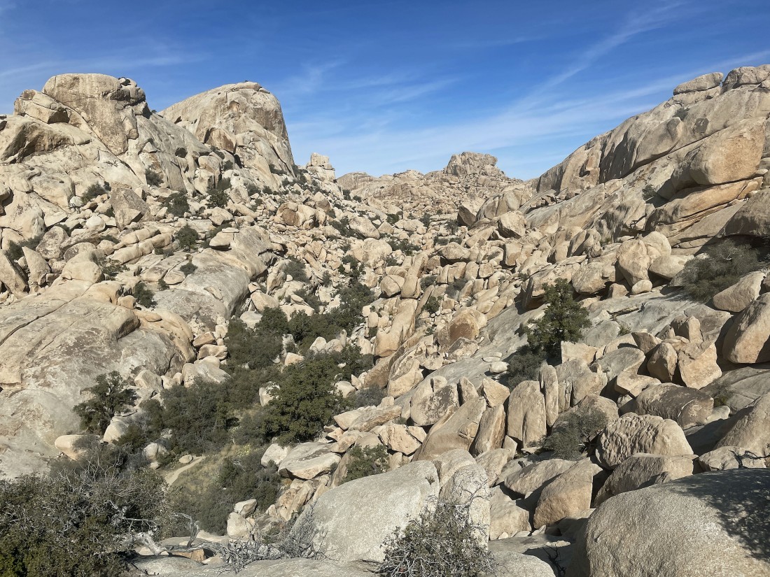
After hiking a total of .4 miles the views broaden considerably... and Barker Lake has no water in it... and over the last several years it hasn't been anything other than a puddle at most.
|
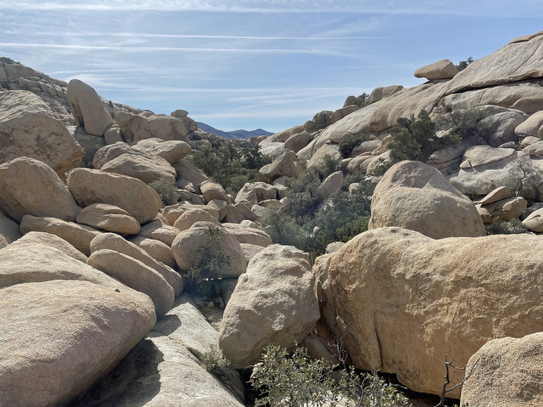
I will hike around what used to be the east shoreline of Barker Lake and head for the nice slabs of rock on the far right... with the South Astro Dome out there in the center of the photo.
|
After hiking a total of .6 miles I am getting ready to go up the slabs in the center of the photo.
|
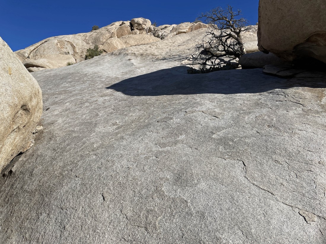
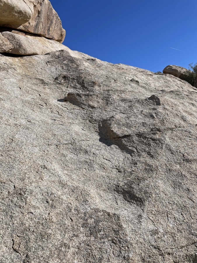
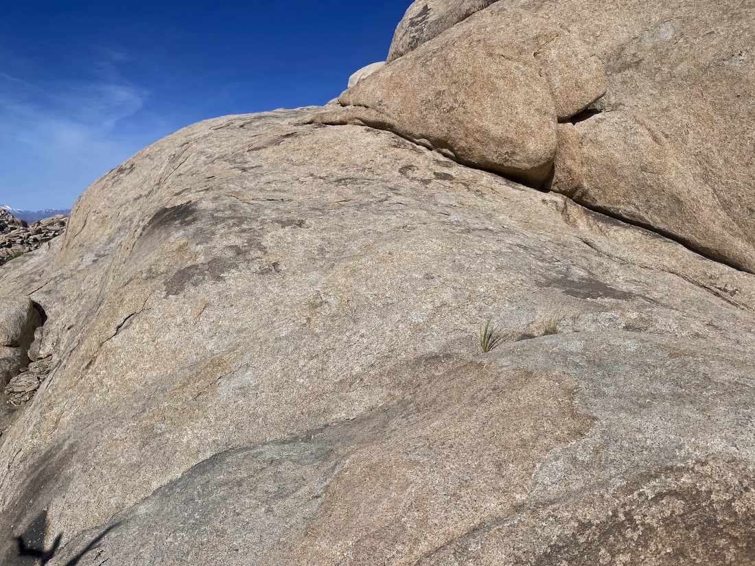
The slabs are pretty steep in places... but they are also very sticky.
|
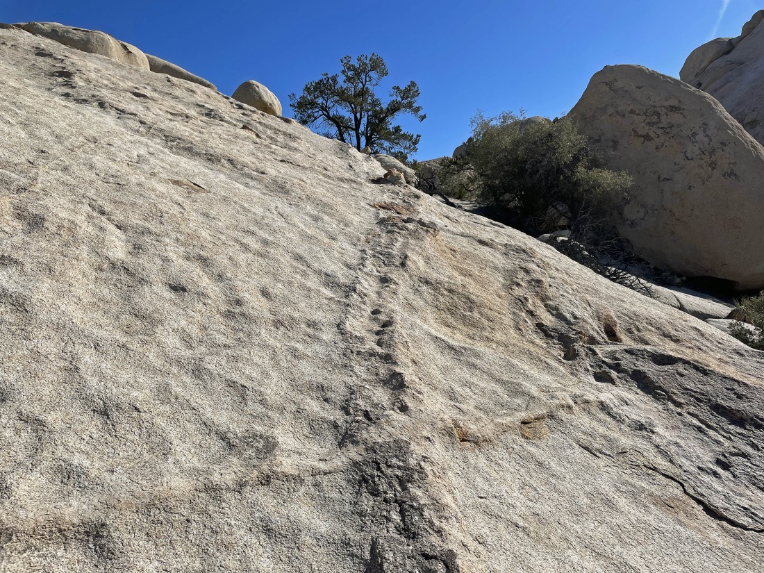
I used this vein to help gain 40 feet of elevation.
|
Looking back at the very dry Barker Lake as I continue to gain elevation up the slabs... it was 36 degrees when I started hiking at 9:00am... and I have never been here when no one else was at Barker Dam.
|
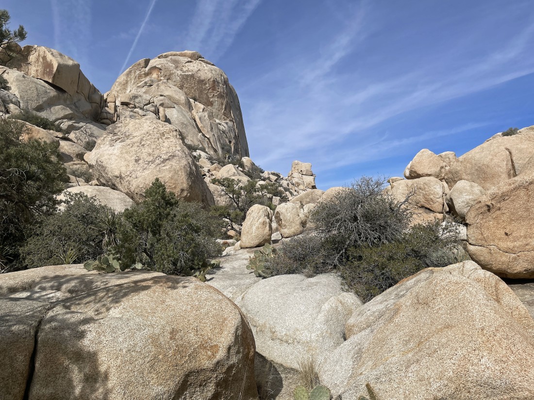
Continuing to go up the slabs toward Valhalla Dome... but there are some pretty nice steps in the rock here.
|
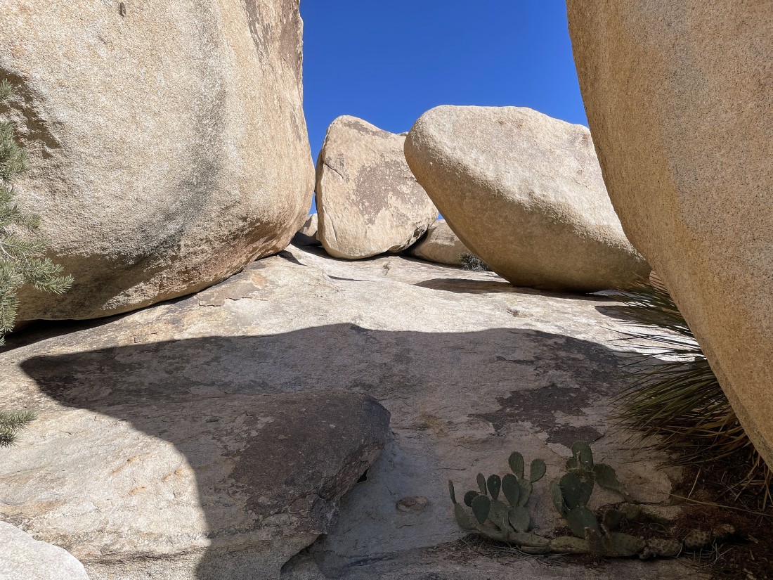
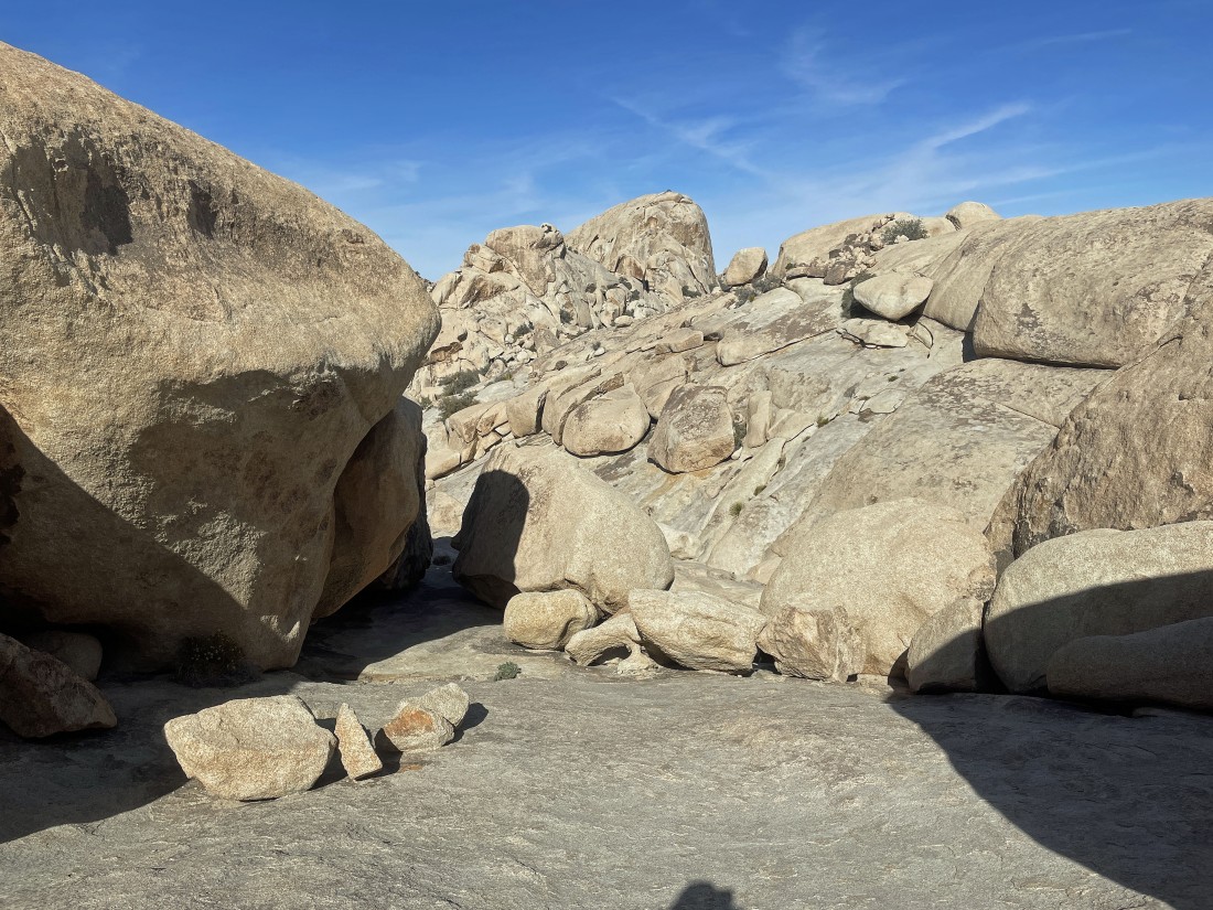
Kind of a hallway of boulders.
|
After hiking a total of .7 miles I can see the summit of Valhalla Dome up there with a little tree on top.
|
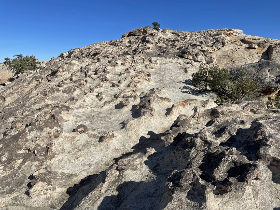
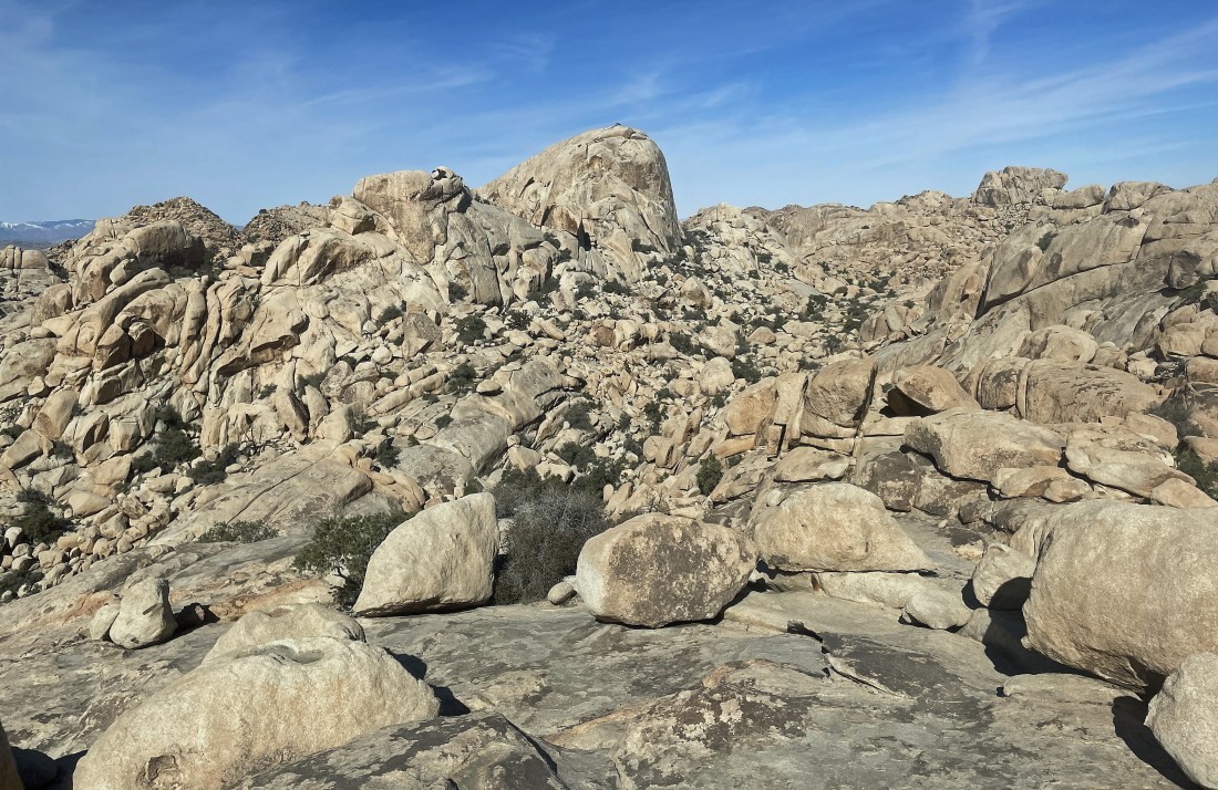
The summit area of Valhalla Dome is actually very broad.
|
Nearing the summit of Valhalla Dome... and this is not to be confused with the Yellow Brick Road.
|
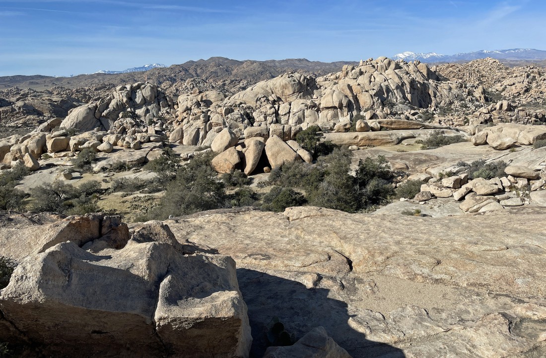
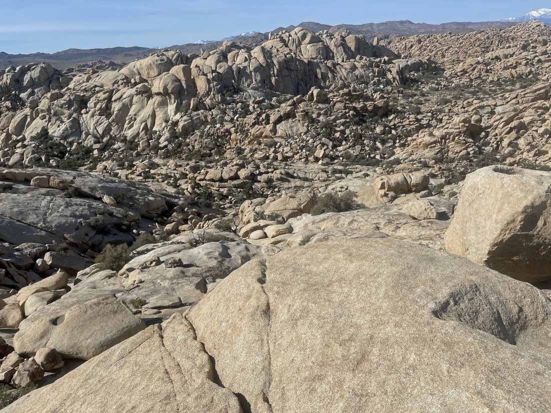
After hiking a total of .8 miles I am on the summit of Valhalla Dome... here looking NE across part of the Wonderland of Rocks to Queen Mountain on the horizon... with the South Astro Dome standing out in the distance out there on the left.
|
|
Still on the summit of Valhalla Dome... looking south to Ryan Mountain on the far left horizon... with Lost Horse Valley to the right of Ryan... Quail Mountain (the high point in the park) is in the center horizon... and looking north to the South Astro Dome and Wonderland of Rocks on the right.
|
A closer look at Quail Mountain on the center horizon... with a snow covered San Jacinto Peak to the left of Quail... and a snow covered San Gorgonio Mountain to the right of Quail.
|
Time to leave the Valhalla Dome summit area and head NW in the direction of the South Astro Dome.
|
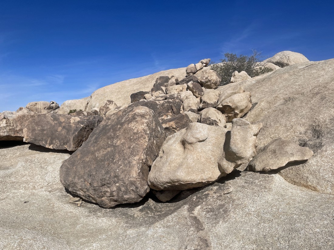
I'm looking for a route off of Valhalla Dome... and I found this gully north of the summit area... but will it go?
|
I am not going to try and go down this gully... so go higher and keep looking for a route down.
|
Heading up higher immediately after crossing the gully in the previous two photos.
|
Looking back at the Valhalla Dome summit area... with the gully I just crossed in the foreground.
|
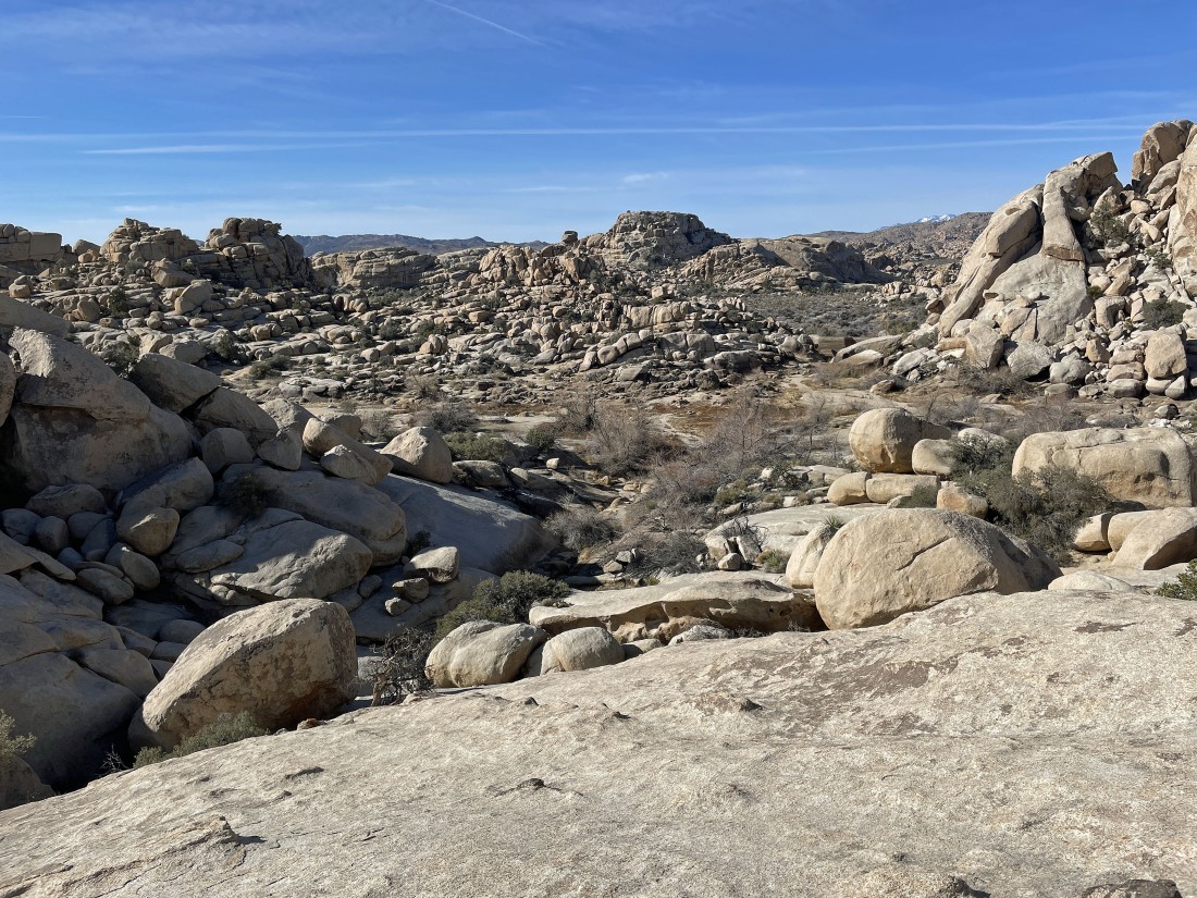
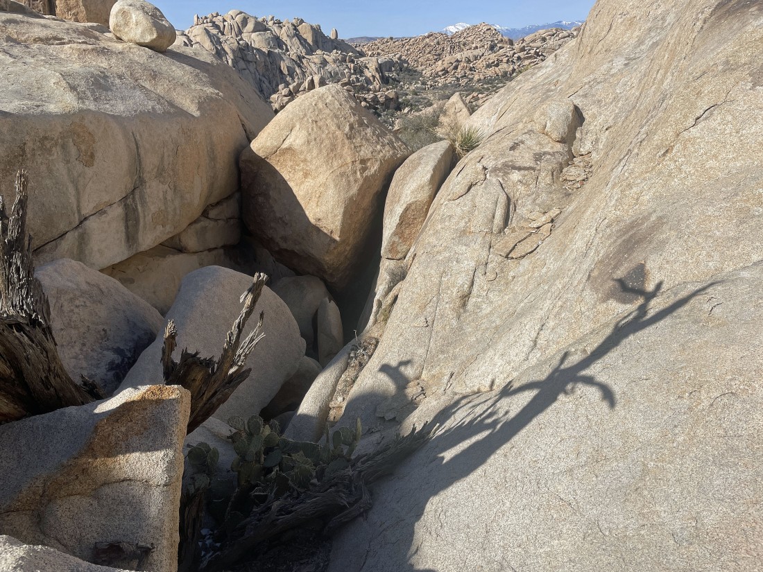
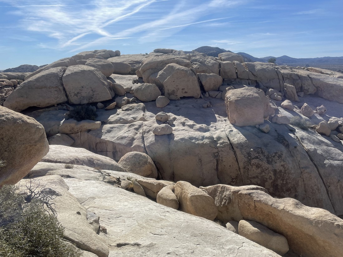
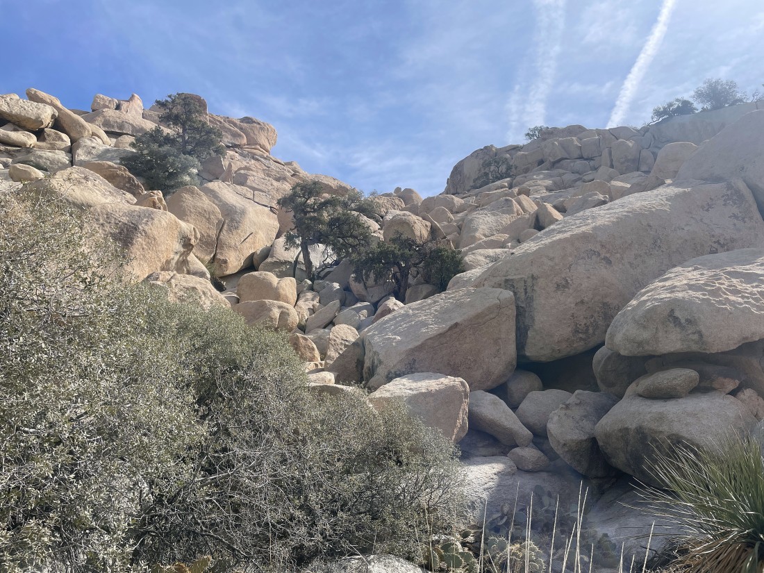
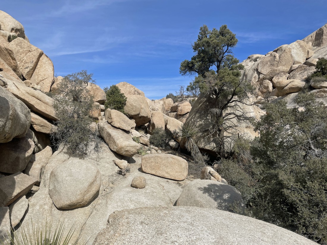
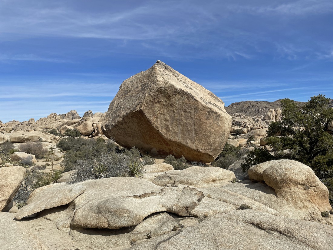
Whoa... a very interesting jumble of rocks... I will keep going up to see what I can find.
|
Looking back at that interesting jumble of rocks from the previous photo... and beyond to the gully I crossed earlier... with Ryan Mountain on the horizon in the center of the photo... and Queen Valley to the left of Ryan... and Lost Horse Valley to the right of Ryan.
|
The South Astro Dome from my second high point of the day... time to get back down to the desert floor.
|
|
Looking north from my second high point... into the Wonderland of Rocks... with Queen Mountain on the right horizon.
|
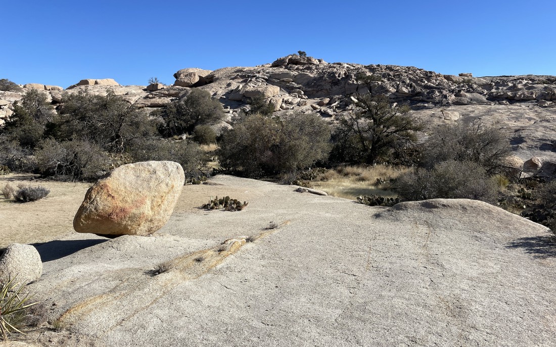
Looks like some nice slabs will help me get back down.
|
Heading down... with the South Astro Dome the second large rock formation on the left... and that is 'The Camel' out there in the distance in the middle of the photo.
|

Working my way down to the desert floor.
|
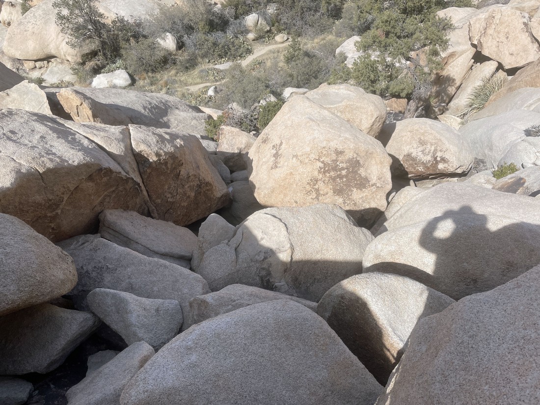
Yep... gotta deal with it.
|
Almost down.
|
Looking back up at my route down from my second high point... time to exhale!
|
After hiking a total of 1.2 miles I am on the desert floor... it is not an official trail... but definitely a nice path that I will continue to hike north on... in the direction of the South Astro Dome.
|
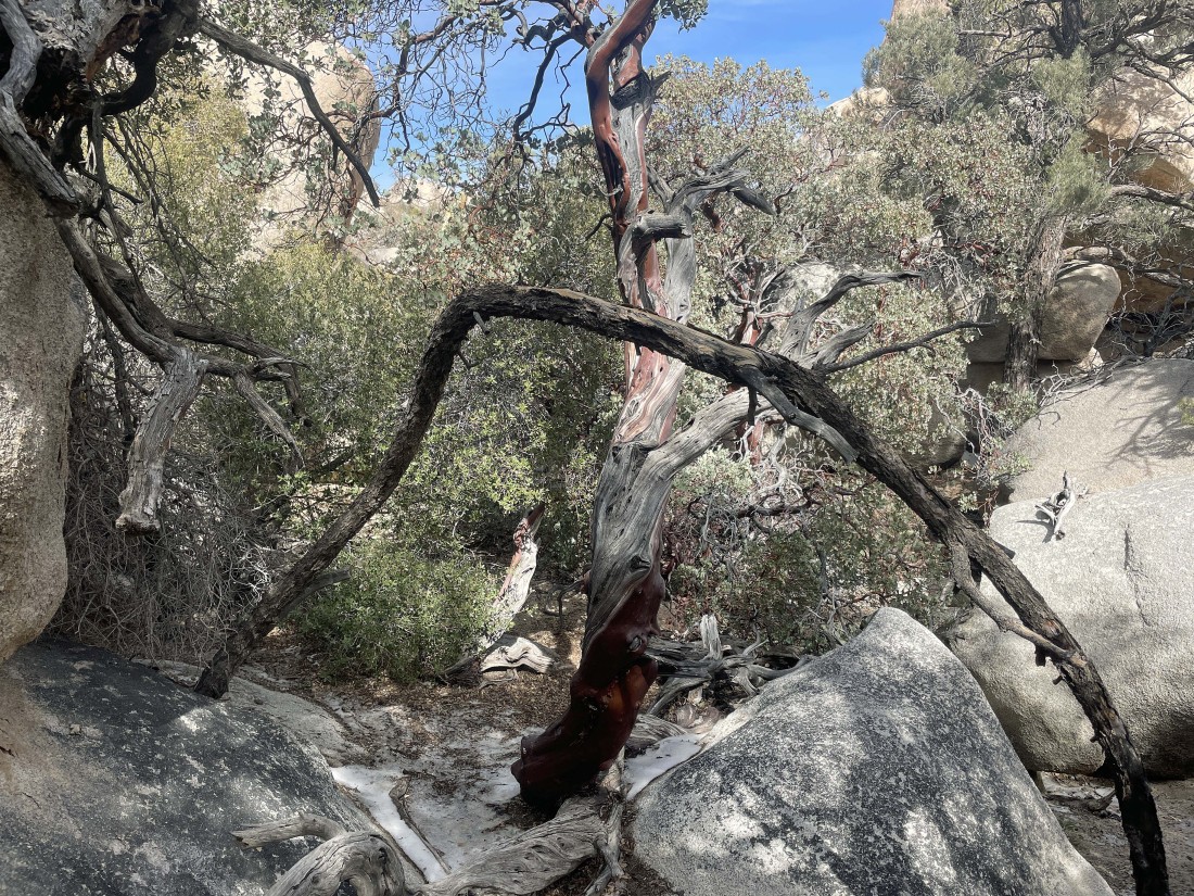
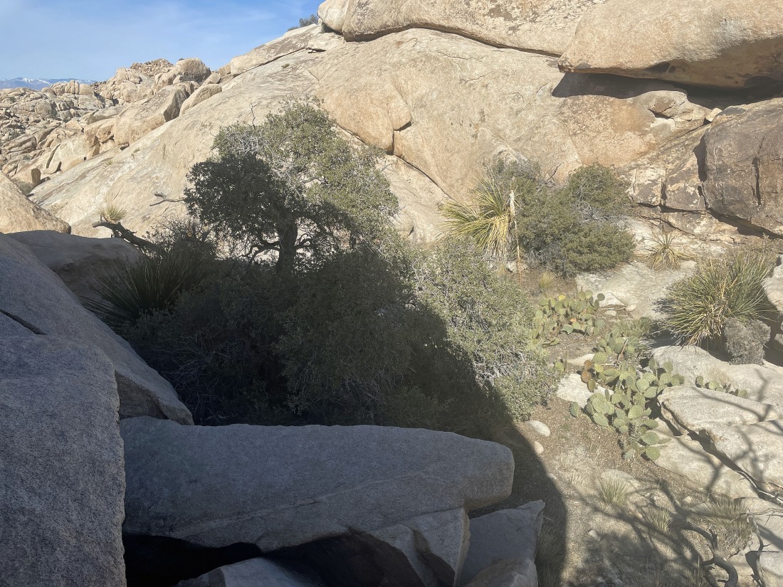
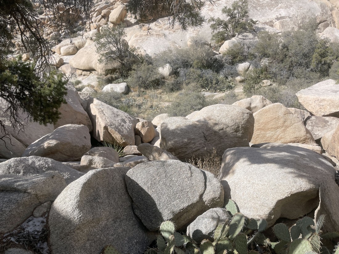
The path does get a little brushy... but there is an obvious route through the brush.
|
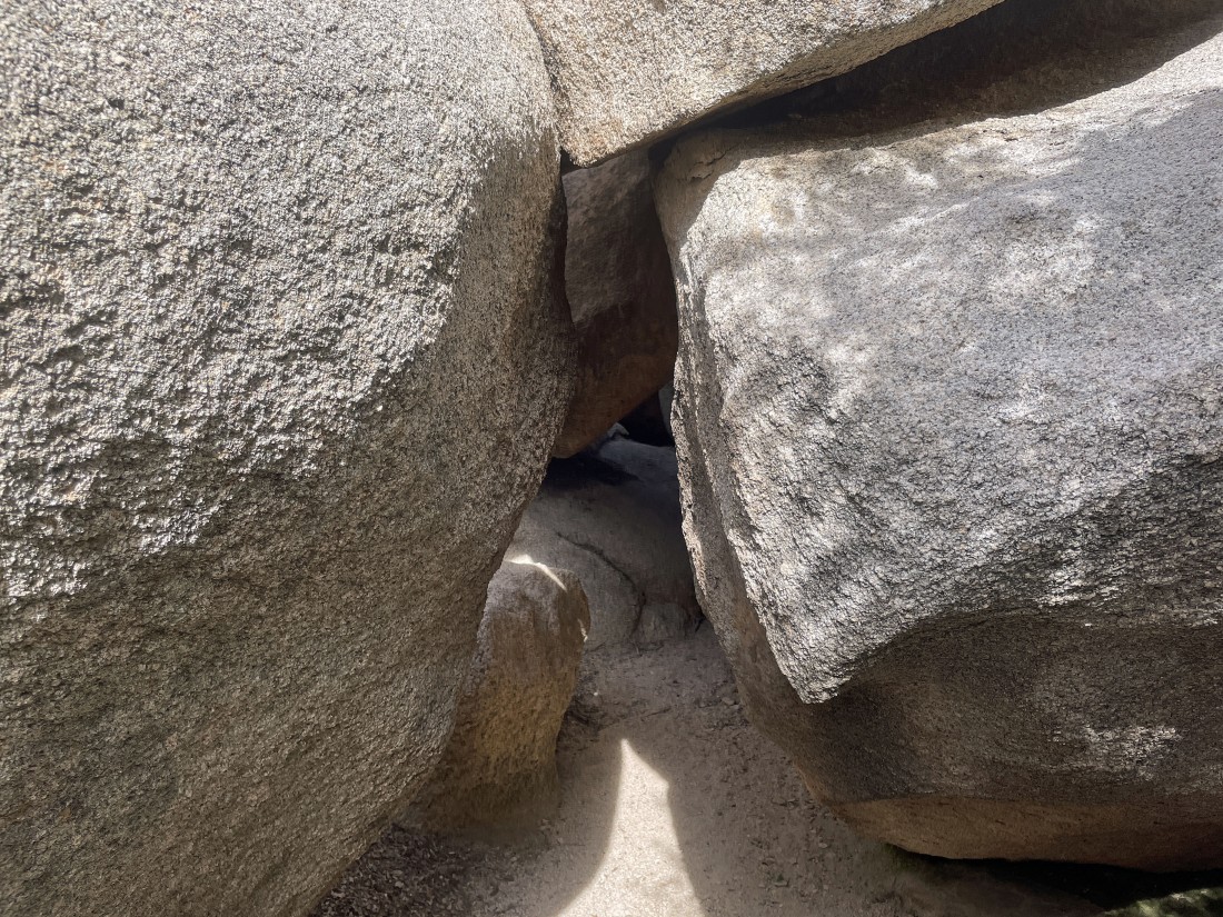
Okay... I did have to make myself small to get through these boulders.
|
Continuing to hike north... looking for a good path back to the car.
|
Looking back at my route.
|
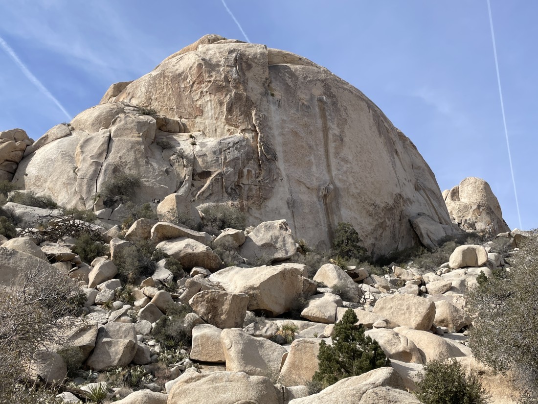
Getting closer to the South Astro Dome.
|
Ah yes... the famous 'Don Juan Boulder'.
|
The NE face of the South Astro Dome... has 9 'Trad' climbing routes... and 3 'Sport' climbing routes.
|
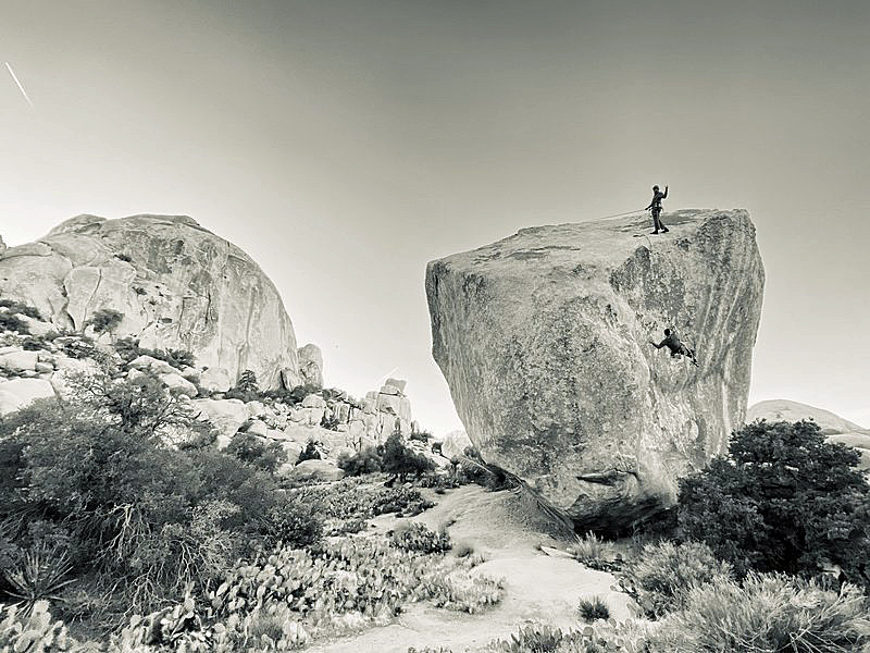
Back in the day this photo shows two climbers on the Don Juan Boulder... with the South Astro Dome in the distance on the far left.
|
After hiking a total of 1.5 miles I am hiking south in the Wonderland of Rocks... and heading for the car.
|
Continuing to hike south in the Wonderland of Rocks.
|

After hiking a total of 2.2 miles I am out of the Wonderland of Rocks... and have arrived at the Wonderland Ranch (aka the Pink House or the Worth Bagley Homestead).
|
I have returned to the Barker Dam parking lot... completing my loop hike after hiking a total of 2.7 miles, gaining 238 feet of elevation.
|
