Peak 5080 - 2.20.2023
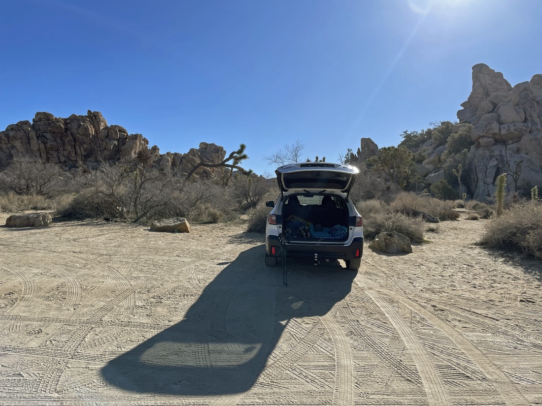
From the west entrance to Joshua Tree National Park I drove on Park Blvd for 7.5 miles and turned right on a dirt road... then drove the dirt road for .2 miles and parked. If you happen to reach the paved parking lot for 'Hemingway' you have driven too far... turn around and drive back to the dirt road on your left.
|
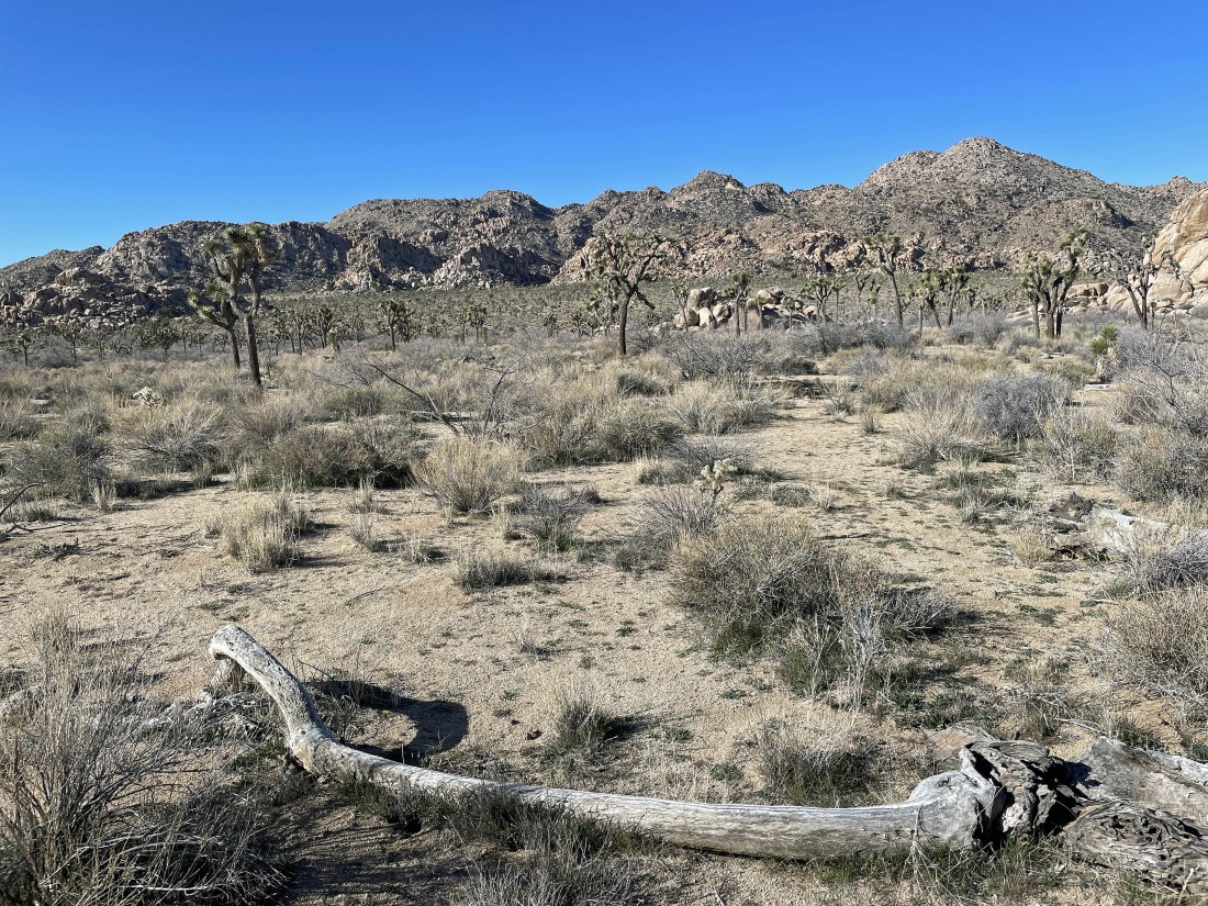
Hiking cross country toward the foothill gully in the middle of the photo... the Lost Horse Ranger Station is over there.
|
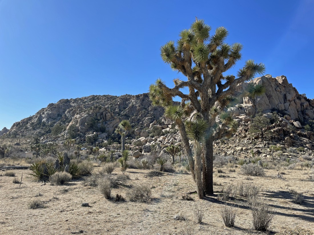
After hiking .9 miles I can see the Lost Horse Ranger Station over there on the left... the white truck is actually more visible than the housing structures.
|
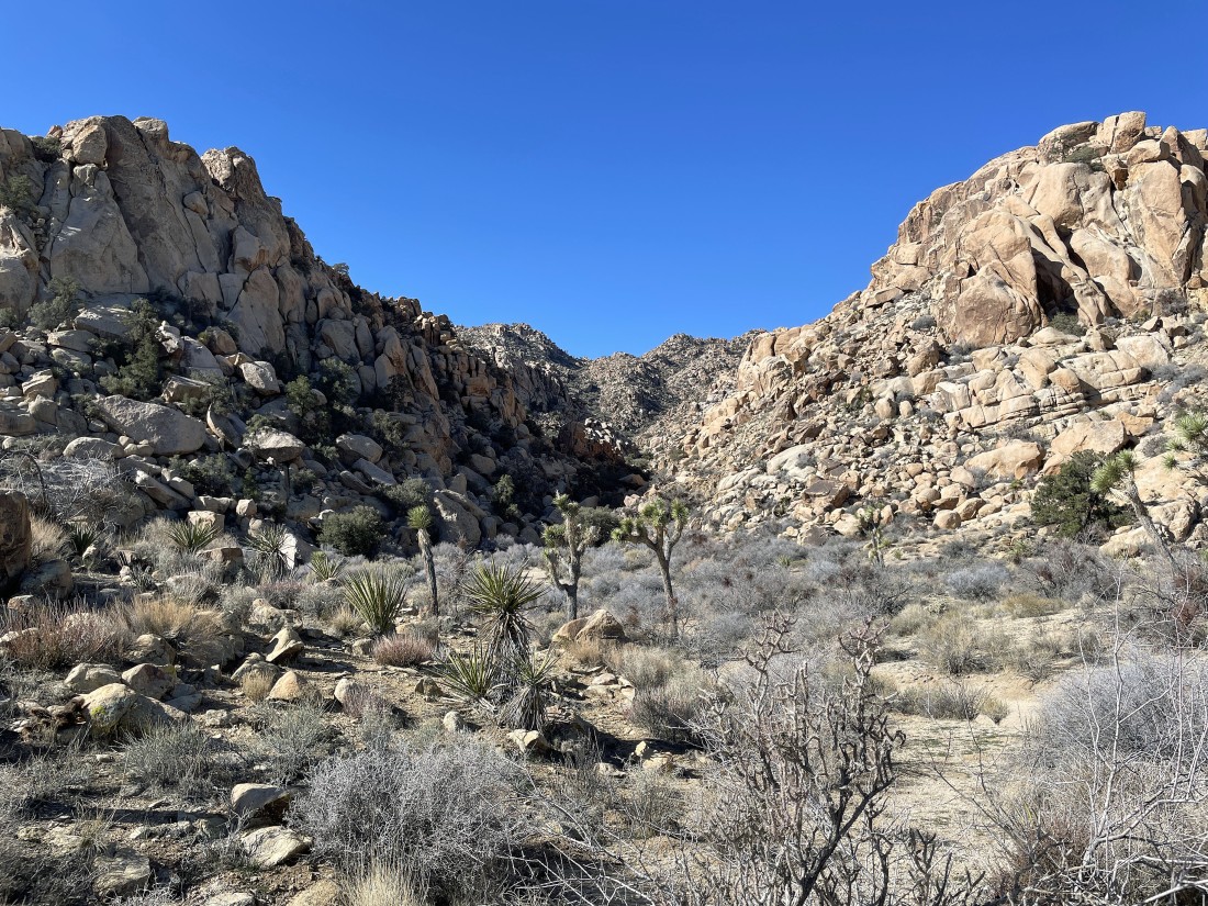
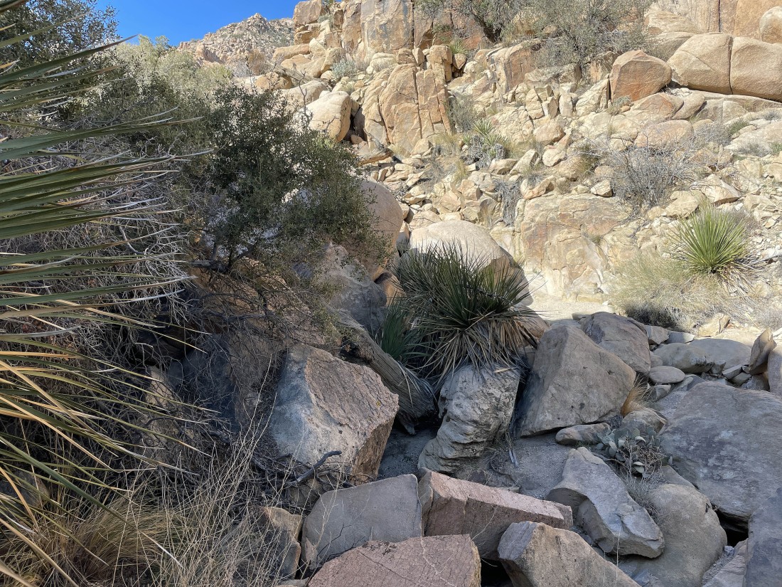
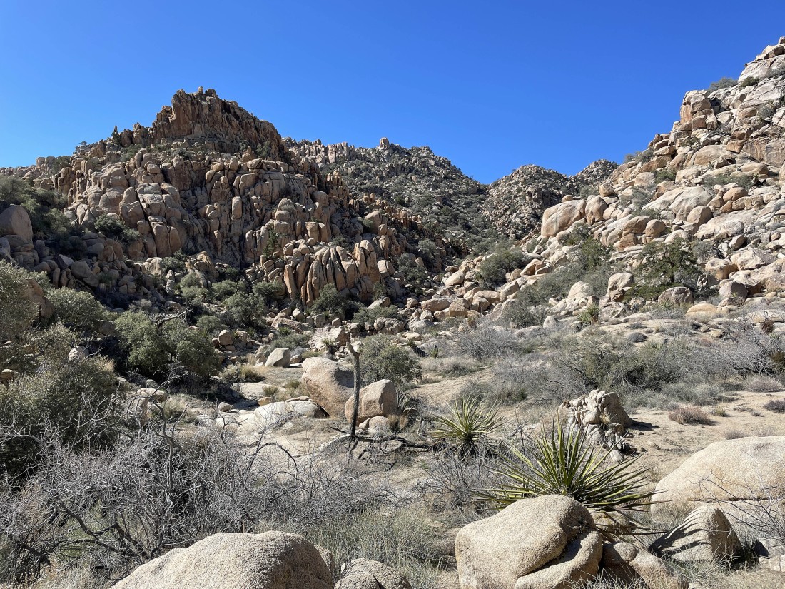
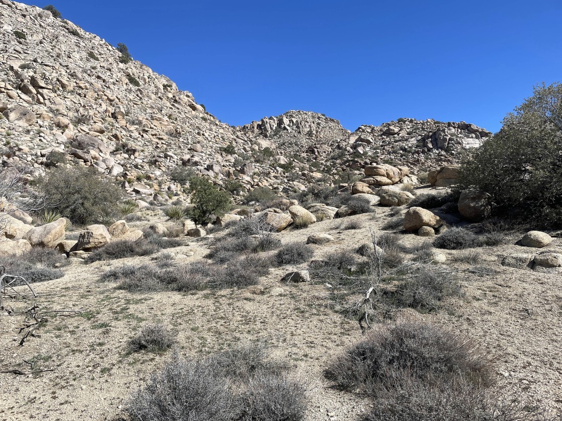
Time to enter my approach gully.
|
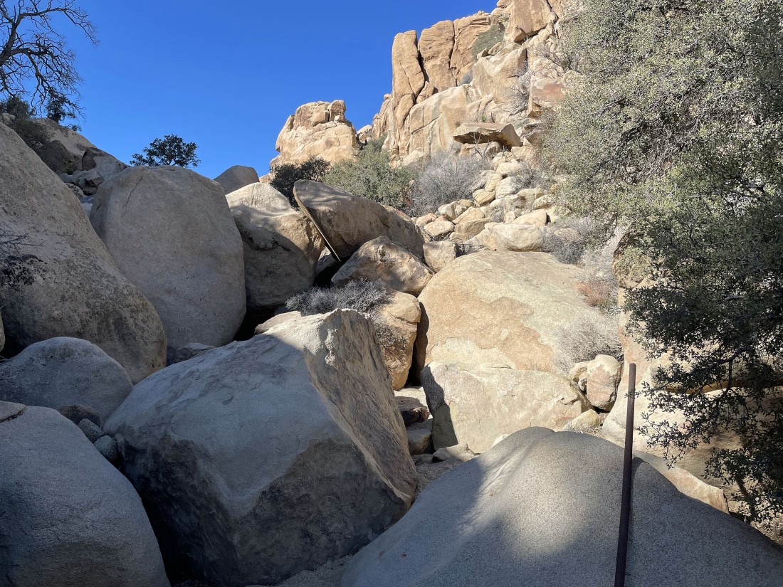
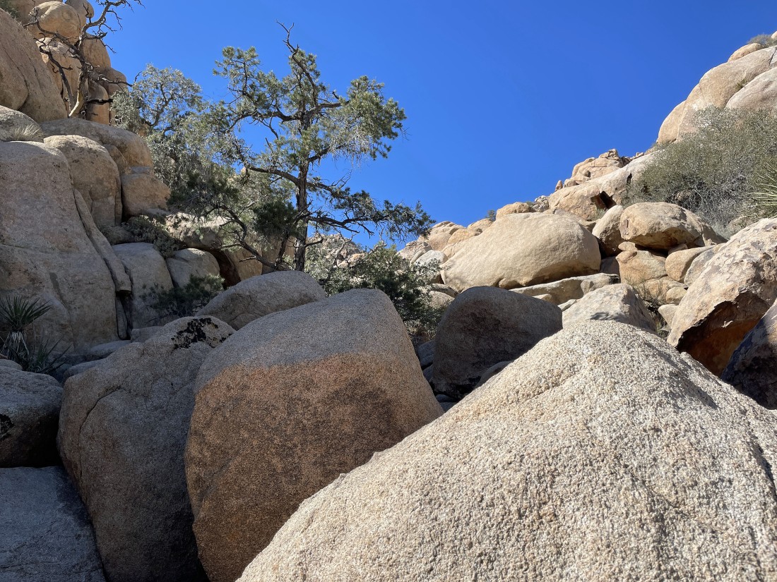
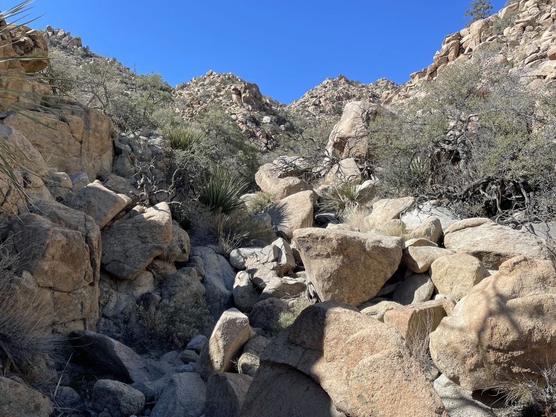
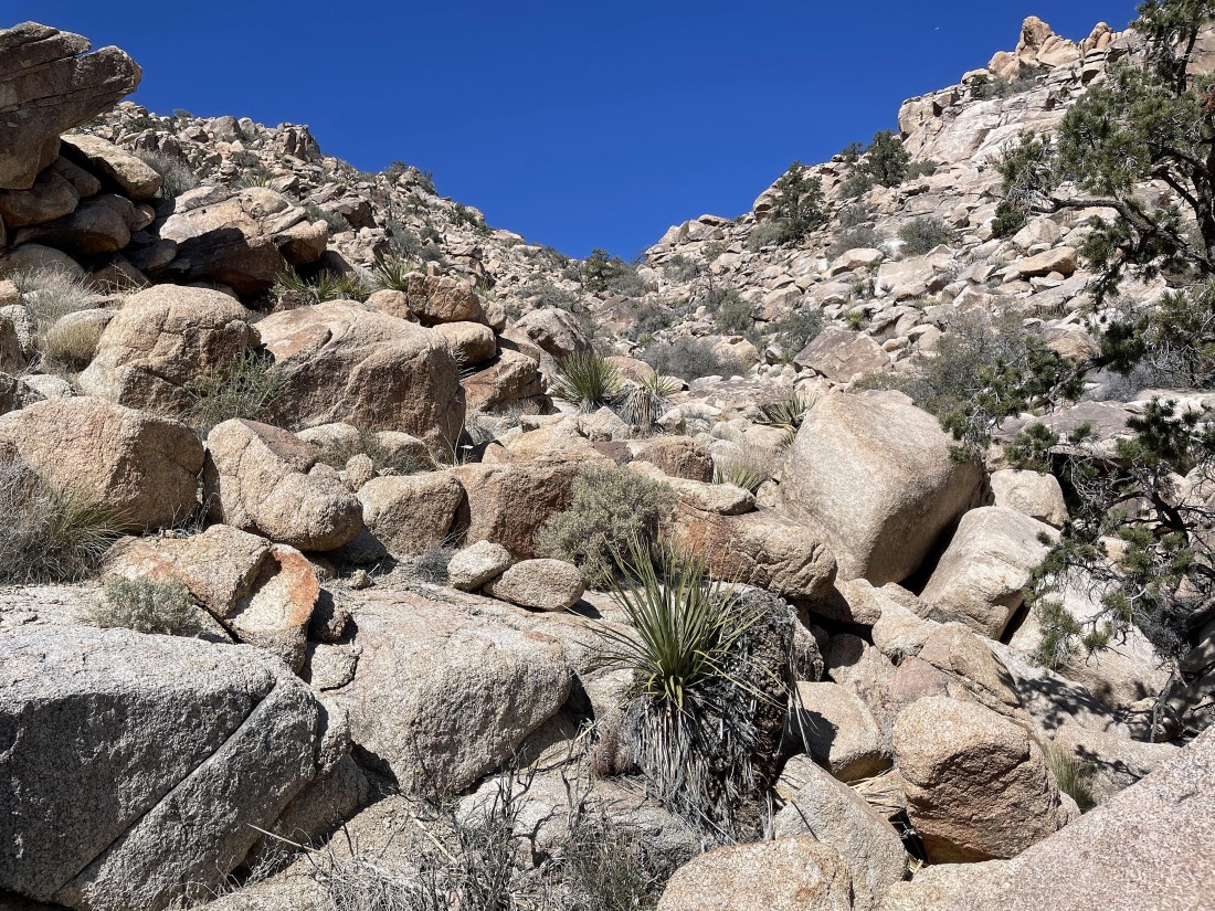
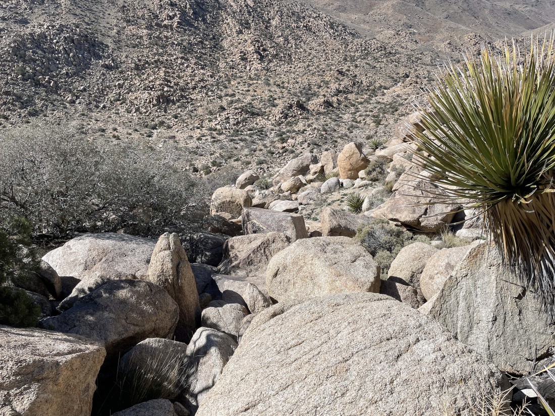
The gully got kind of gnarly very quickly.
|

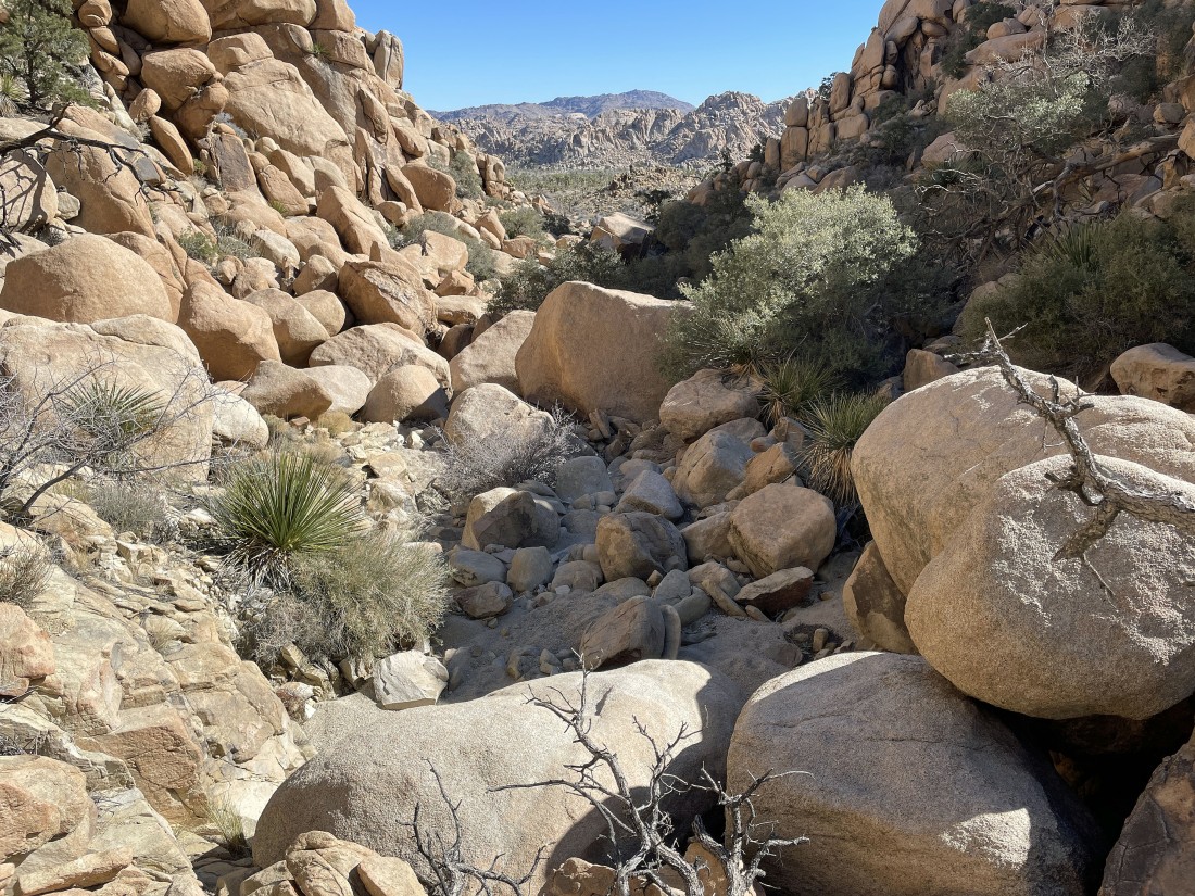
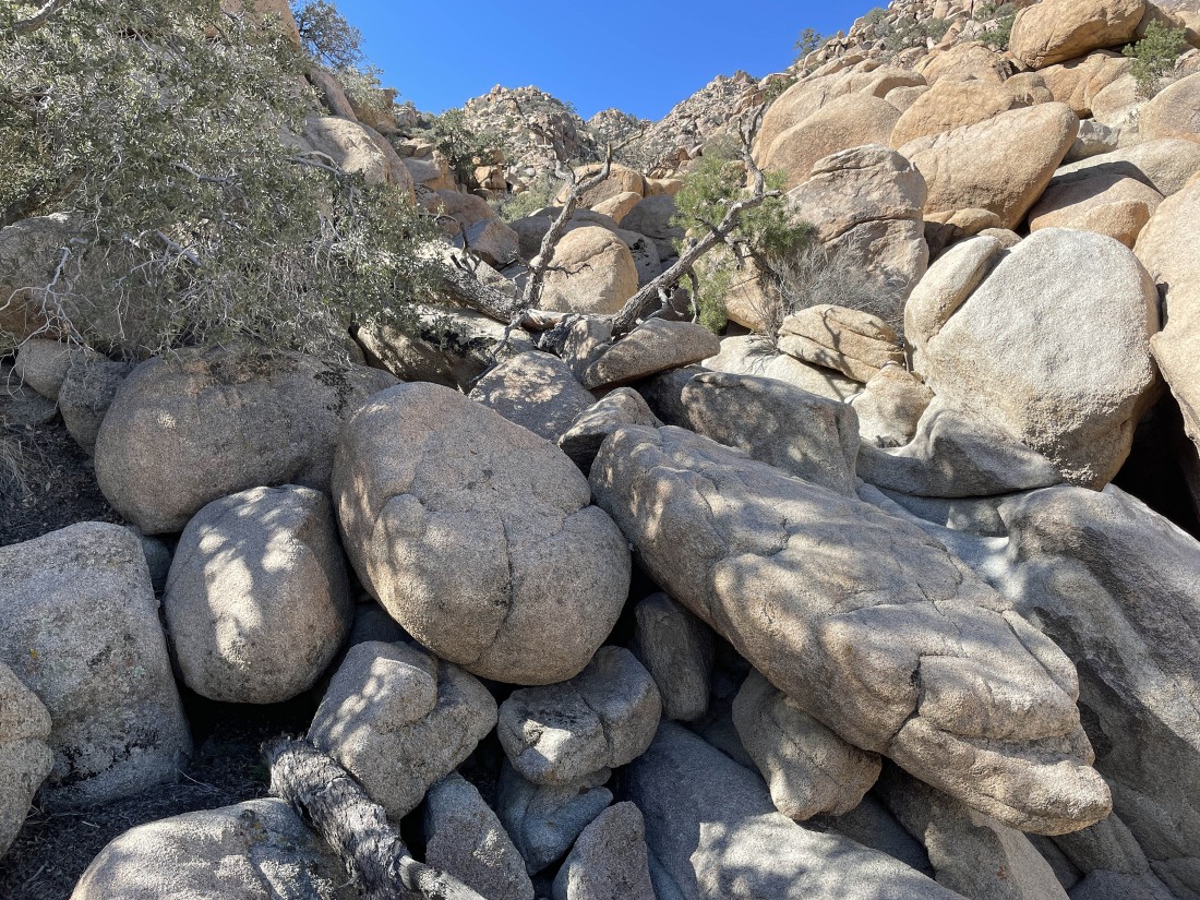
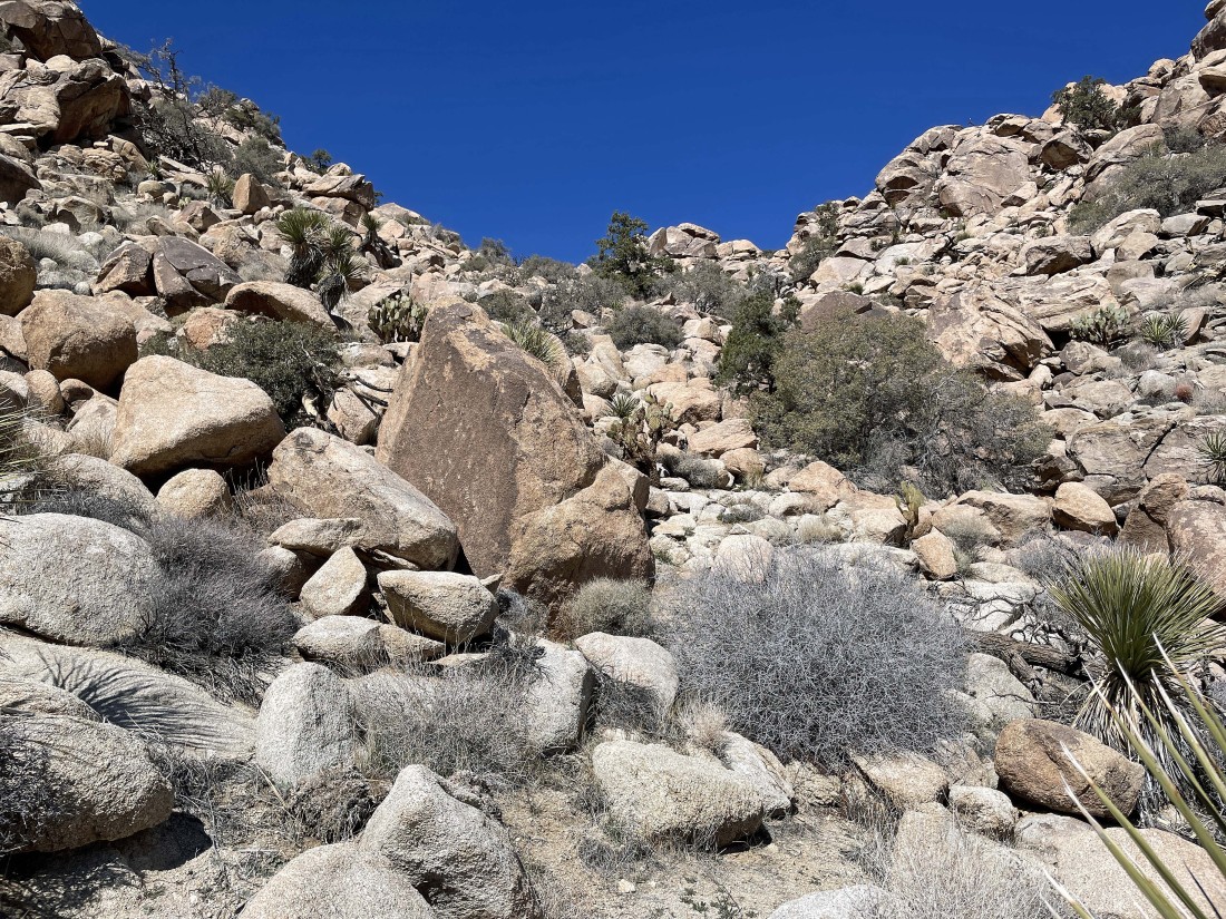
Continuing up the gully.
|
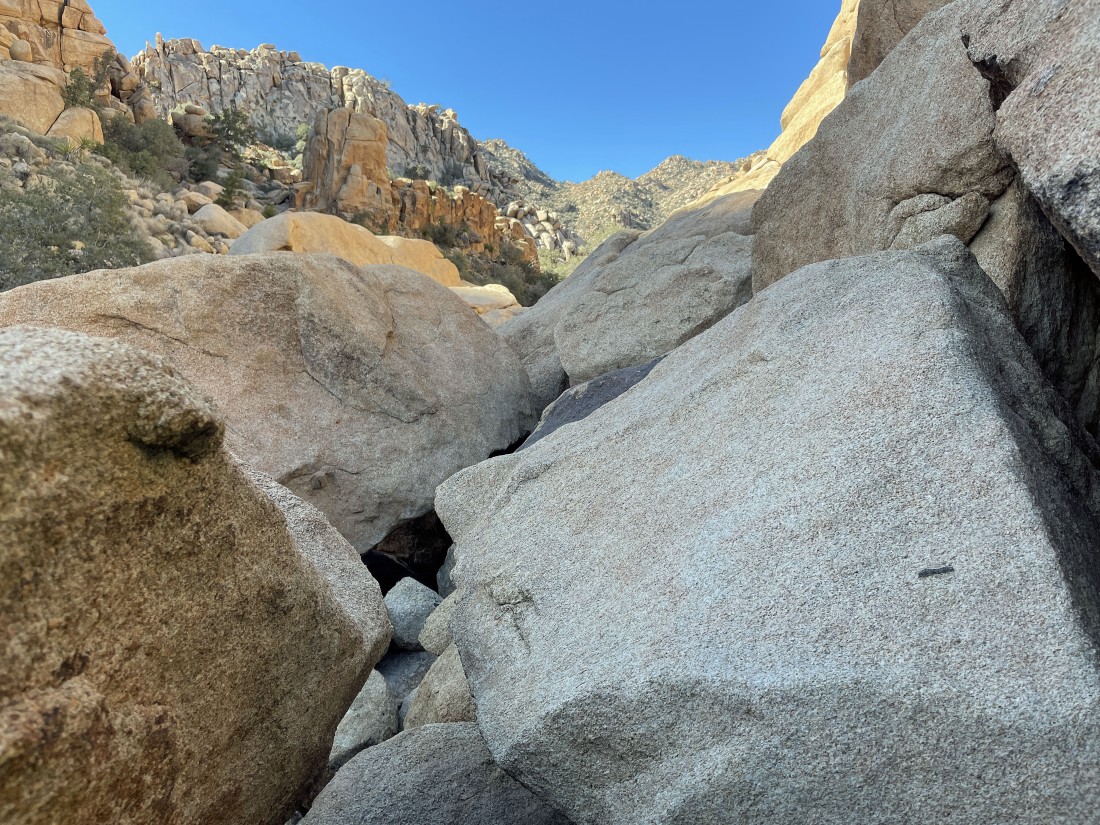
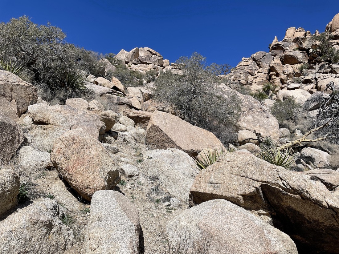
Continuing up the gully.
|
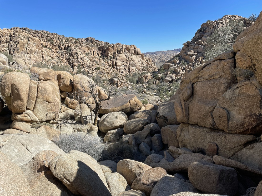
Looking back at my route up the gully.
|
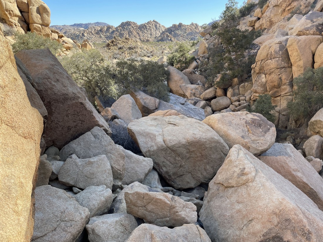
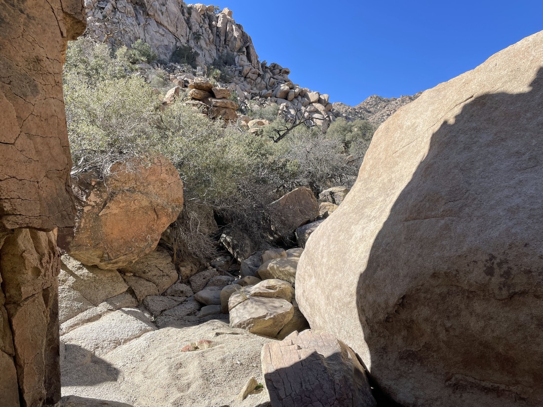
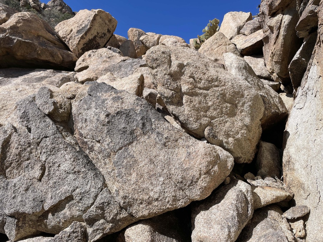
Continuing up the gully... brushy in places.
|
Continuing up the gully.
|
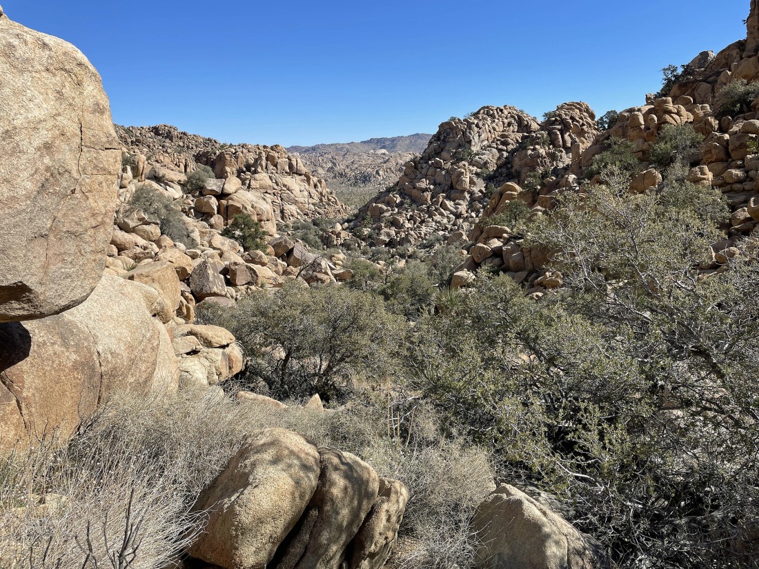
Looking back... Queen Mountain is on the horizon.
|
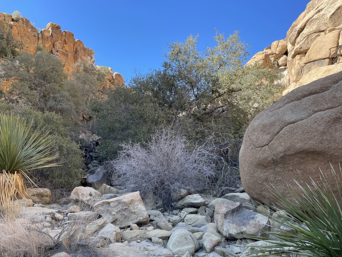
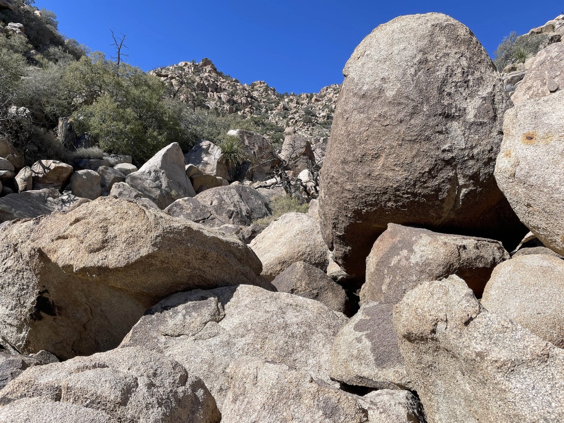
Continuing up the gully.
|
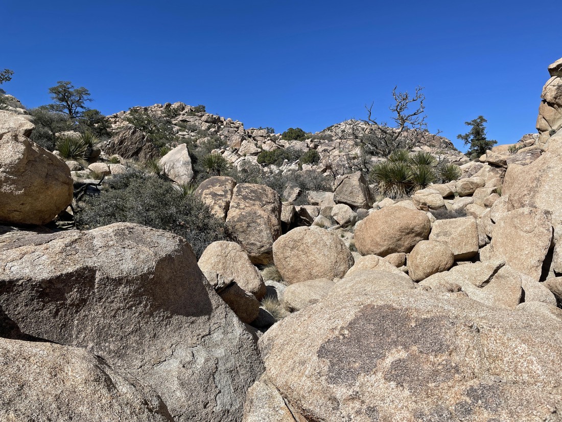
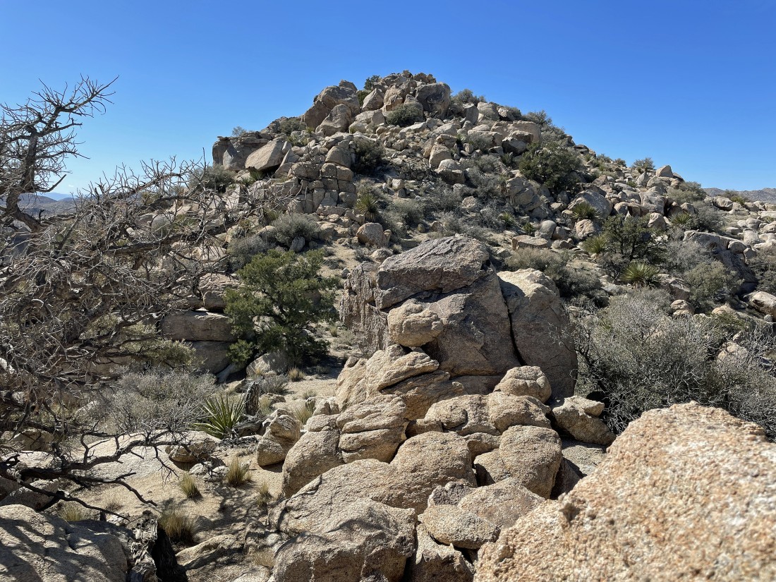
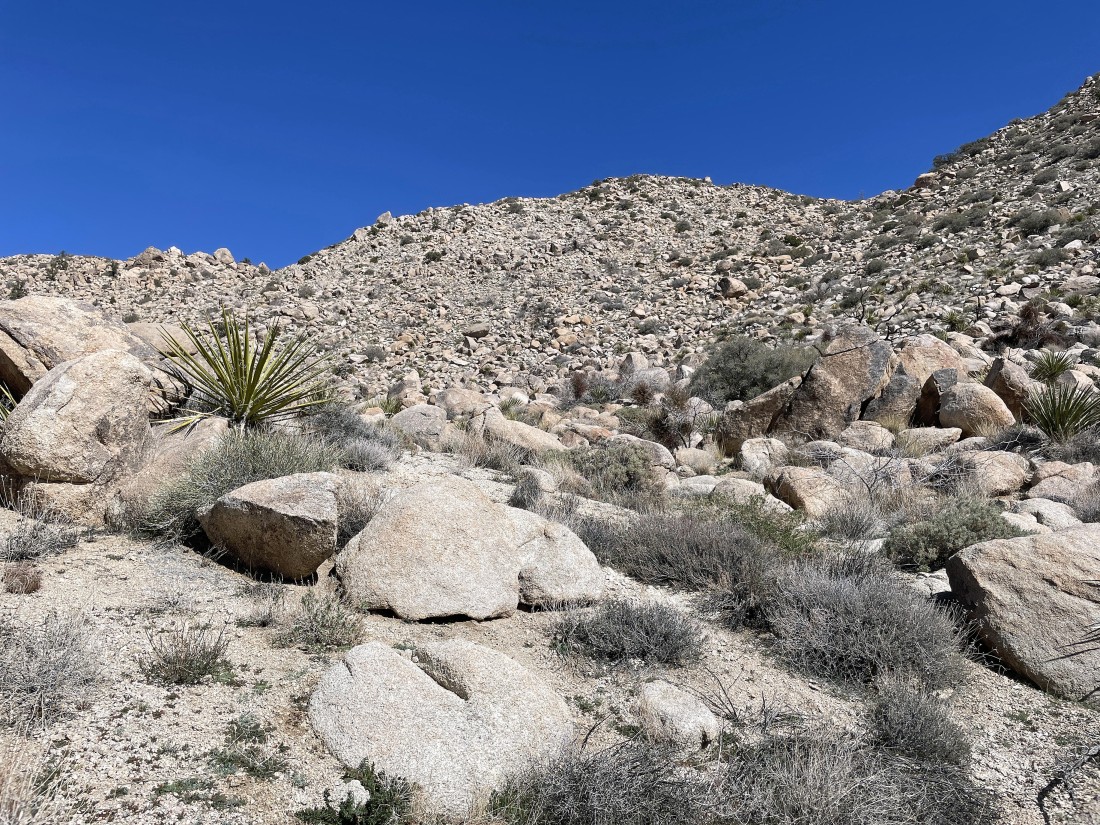
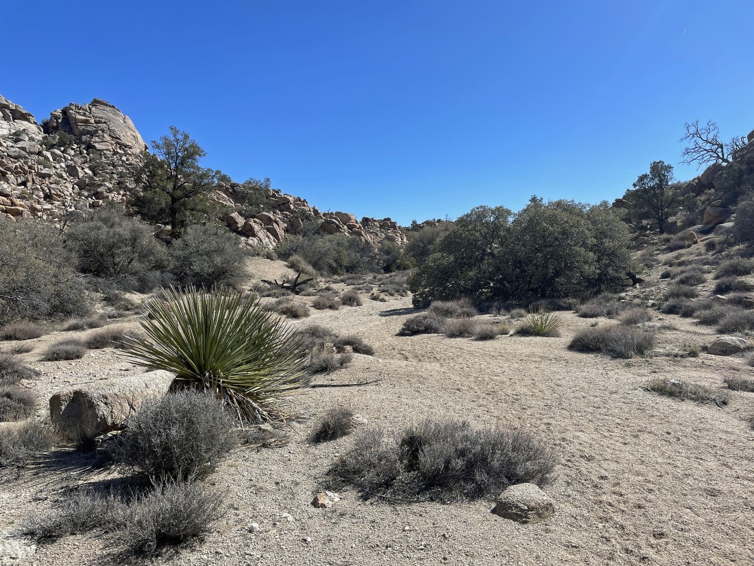
Wow... the terrain got a little easier here... heading for the gully up there in the left-center of the photo.
|
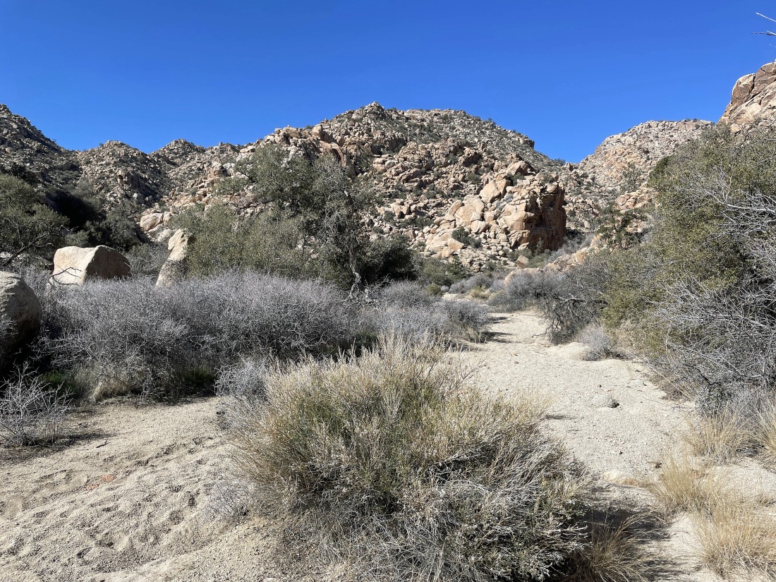
Heading for the gully in the distance on the left.
|
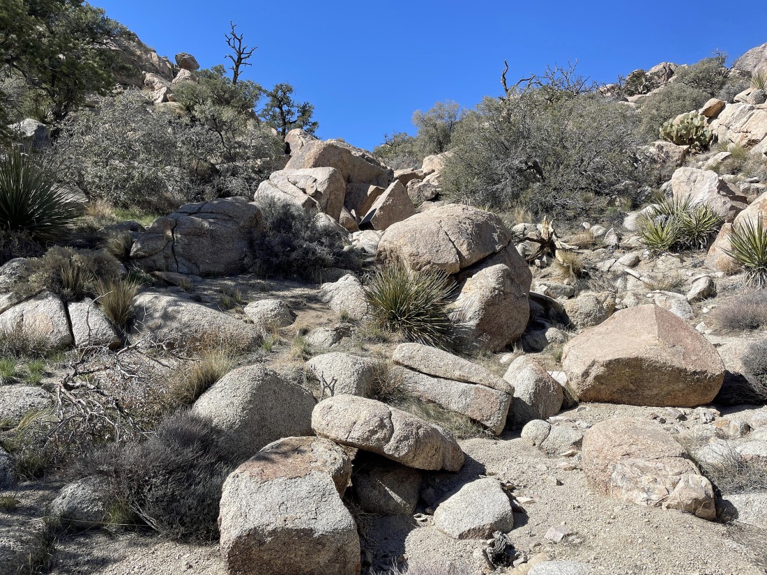
Heading for the gully... and it looks like the terrain will get a bit more difficult.
|
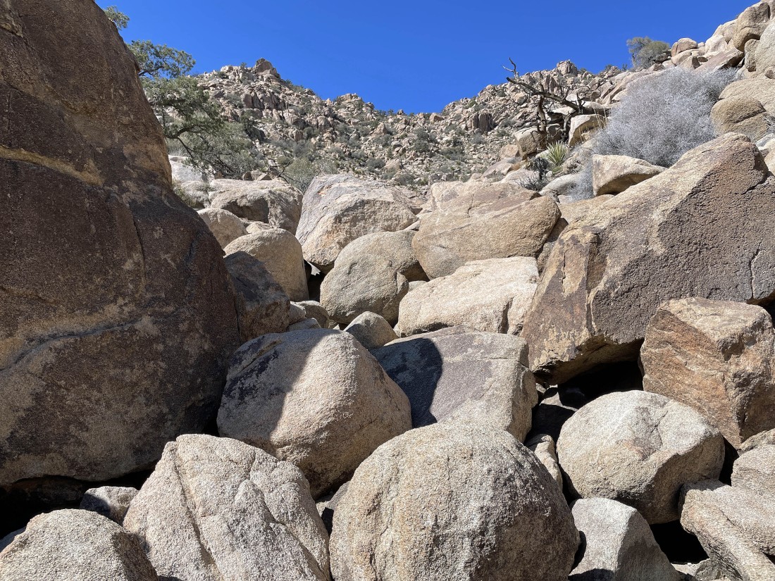
Continuing up the gully.
|
Continuing up the gully.
|
Looking back.
|
Continuing up the gully... still not sure where my target is.
|
Looking back.
|
Continuing up the gully.
|
Continuing up the gully.
|
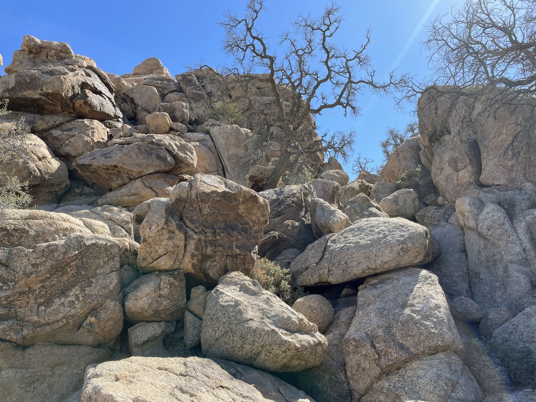
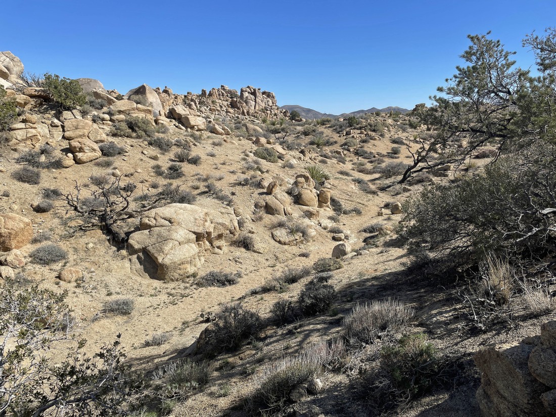
Continuing up the gully... heading for the 'V' up there.
|
Continuing up the gully.
|
Looking back... Ryan Mountain is on the horizon.
|
Continuing up the gully.
|
Continuing up the gully.
|
Continuing up the gully... still not sure where my summit is.
|
Continuing up the gully.
|
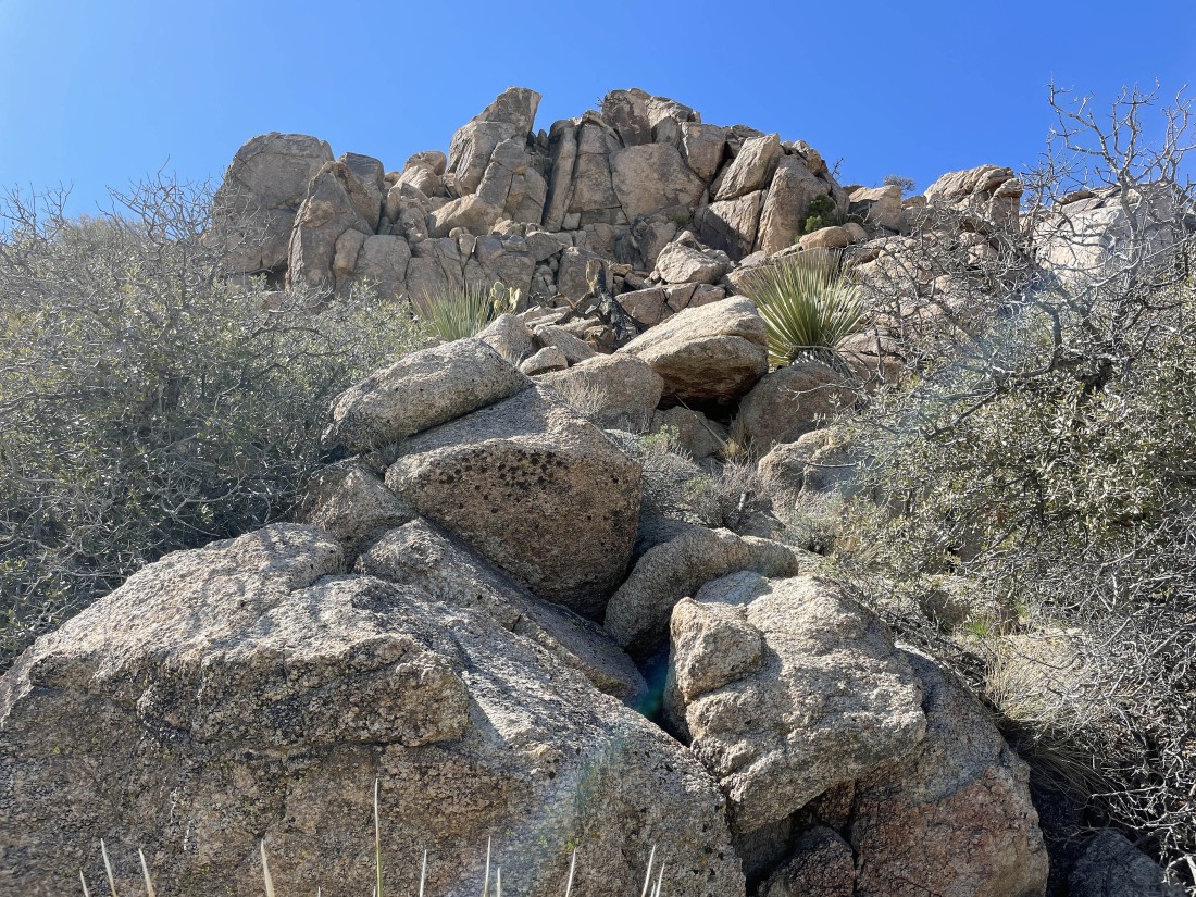
Continuing up the gully... might be my summit up there.
|
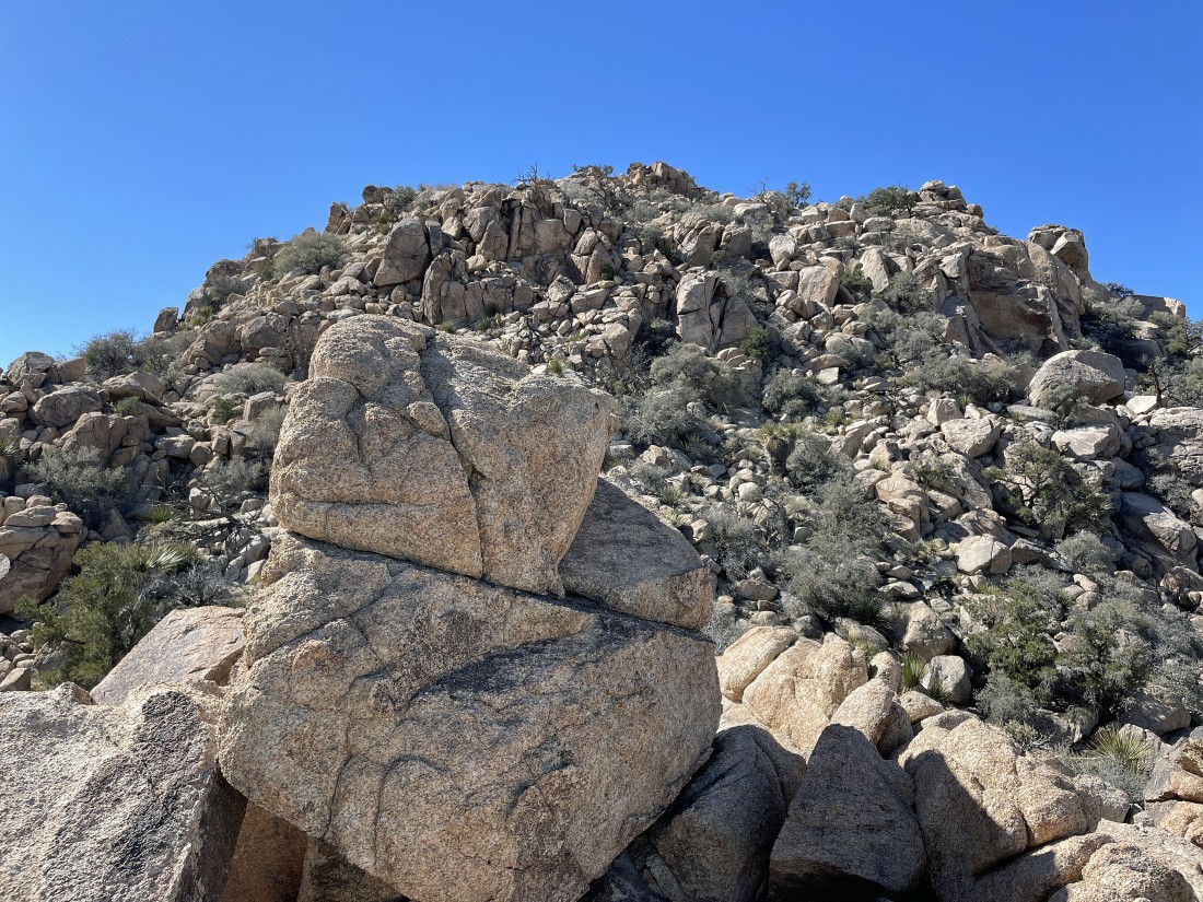
Well... maybe that is my summit.
|
Reeling in the summit... yes?
|
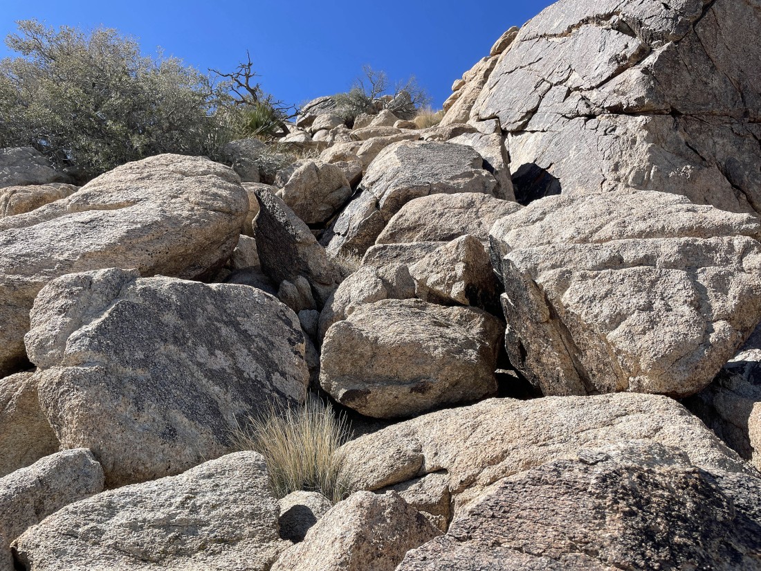
Getting closer to the summit.
|
That has to be my summit... right?
|
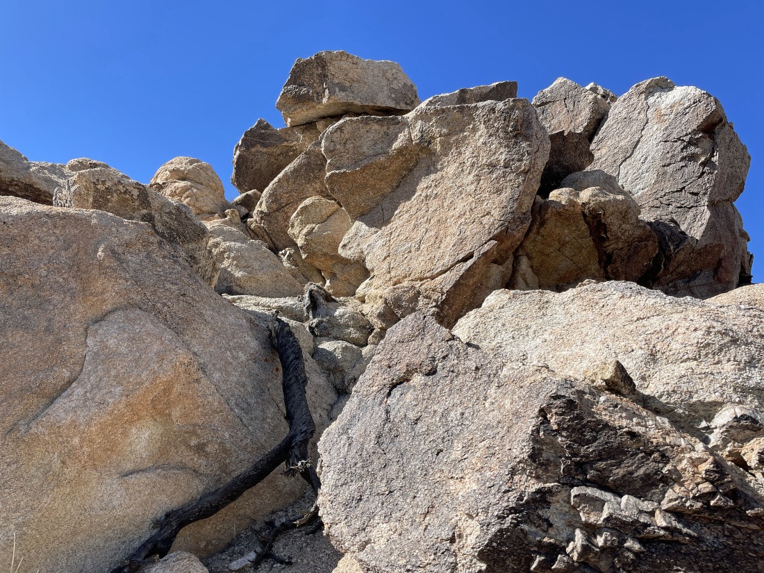
Ugh... more work to do.
|
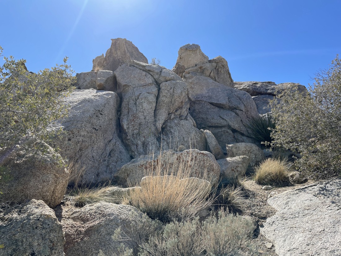
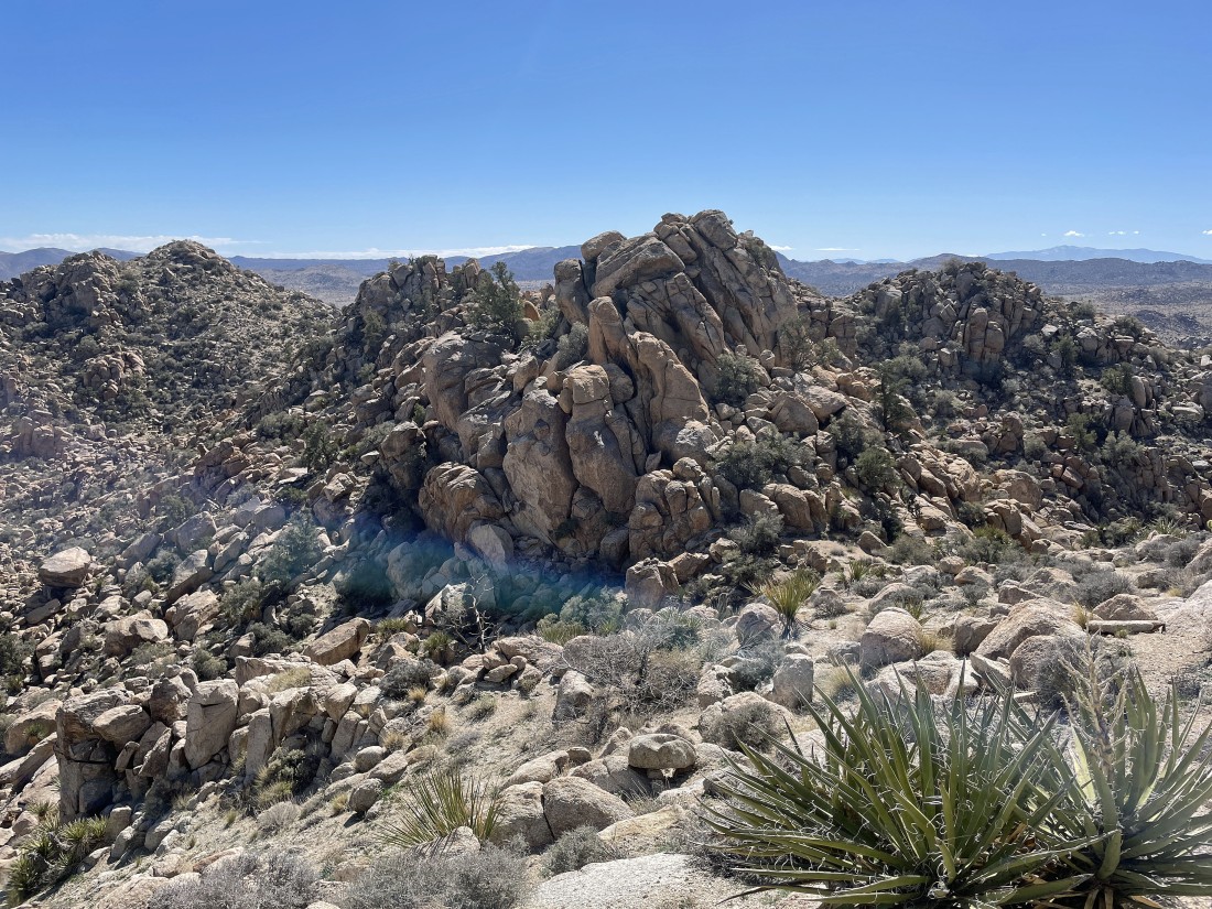
Surely this is the summit of Peak 5080.
|
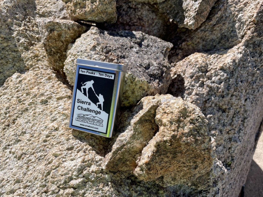
Hallelujah... after hiking a total of two miles I have reached the summit of Peak 5080... and I found a summit register... but I chose not to open it... deciding to investigate the 'Sierra Challenge' when I got back home.
|
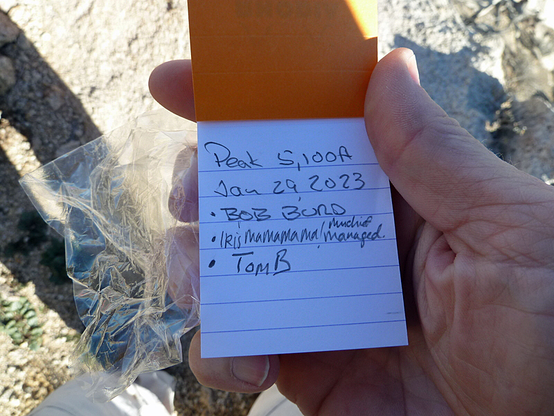
When I got back home I googled 'Sierra Challenge' and found that Bob Burd had placed the summit register 3 weeks before I was there... and as of February 22, 2023, he has done 8,327 unique peaks in the Sierra Mountains... and his website is www.snwburd.com... and his naming the peak 5100 is more accurate than the person who named it Peak 5080 on peakbagger.com.
|
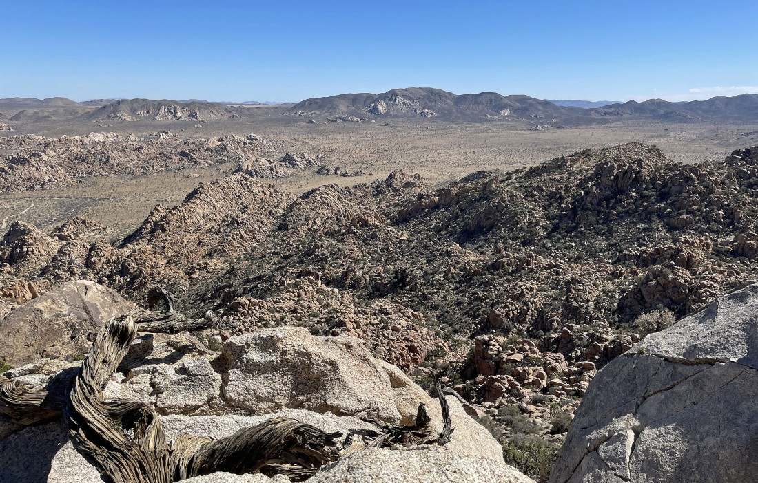
From the summit of Peak 5080 I am looking south over at the 'Flatbush Benchmark'... which Denali Girl and I had done on March 30, 2021.
|
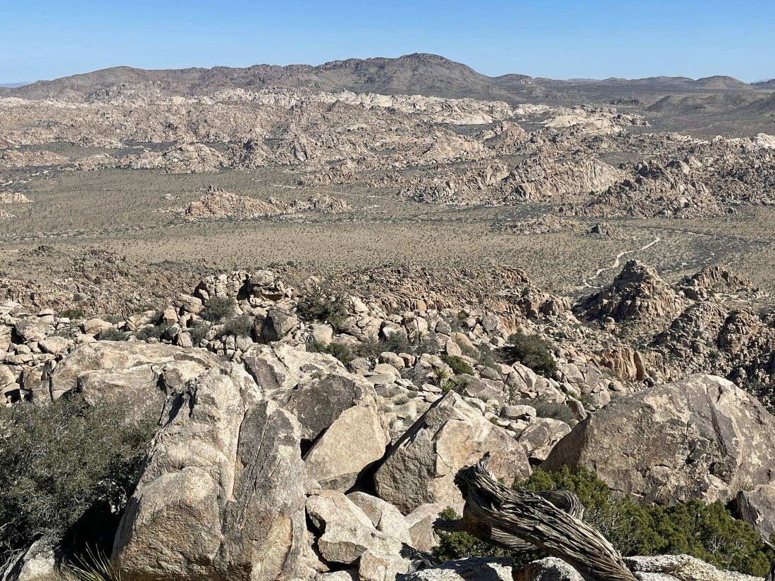
From the summit of Peak 5080 I am looking north to Point 5088... with Yucca Valley on the horizon.
|
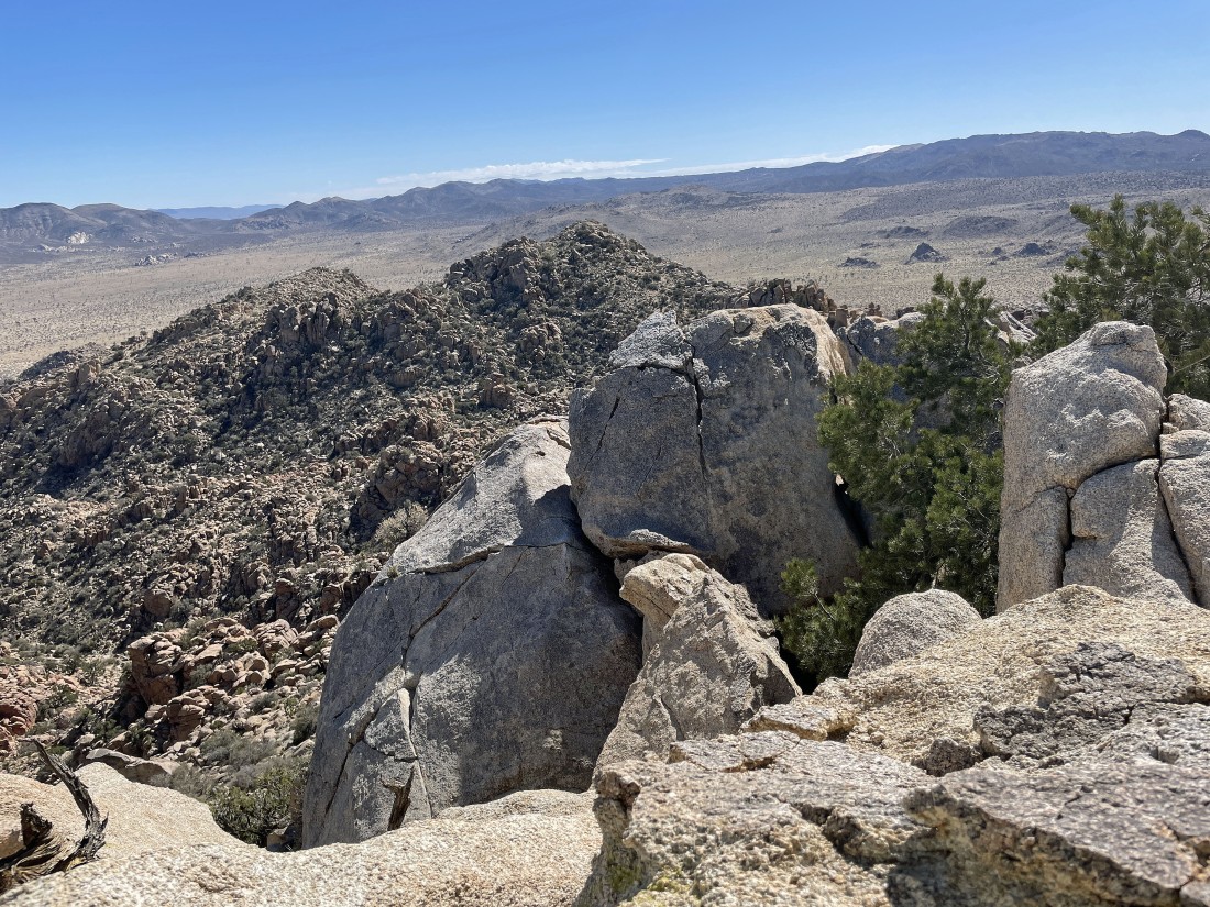
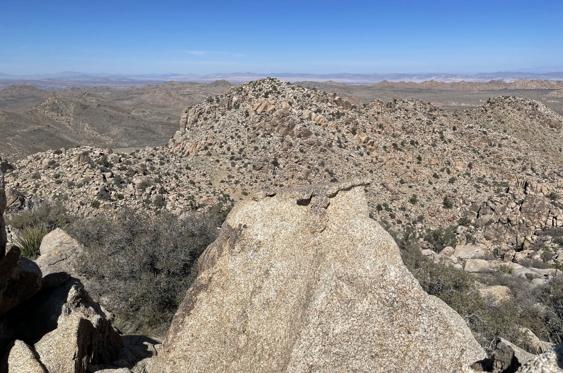
From the summit of Peak 5080 I am looking NE across Lost Horse Valley to the rock formations in Hidden Valley, Hemingway and the Wonderland of Rocks... with Queen Mountain on the horizon.
|
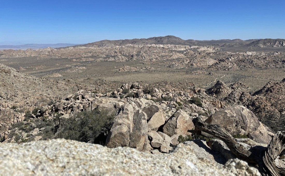
From the summit of Peak 5080 I am looking SE across Lost Horse Valley at Ryan Mountain on the horizon.
|
A pano shot from the summit of Peak 5080... north on the left to Point 5088... NE to Queen Mountain in the center of the photo... SE to Ryan Mountain on the right.
|
A closer look at the rock formations in Hidden Valley, Hemingway and the Wonderland of Rocks... with Queen Mountain on the horizon.
|
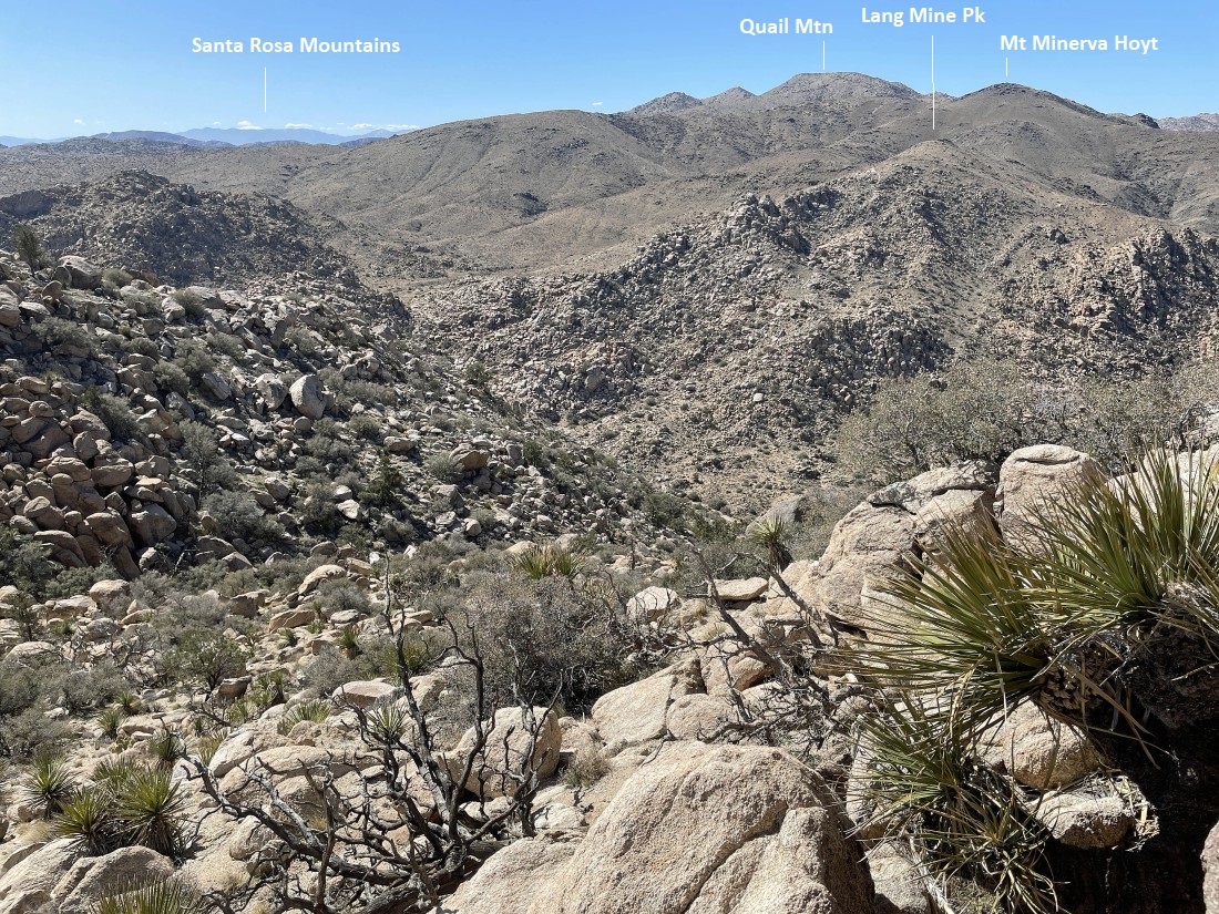
Leaving the summit of Peak 5080... I have chosen to not trace my steps back to the car... if necessary I will scramble over to the Flatbush Benchmark on the far left... but hopefully I will be able to get down to Johnny Lang Canyon when I get down a little lower.
|
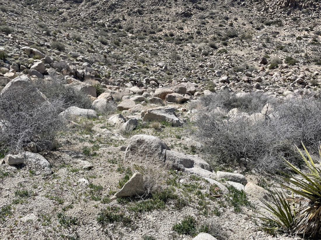
Yes... the terrain leading to Johnny Lang Canyon below looks a lot easier than the terrain I experienced on my way to the summit of Peak 5080.
|
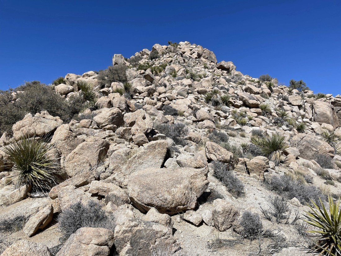
Looking back up at Peak 5080 as I head down to Johnny Lang Canyon.
|
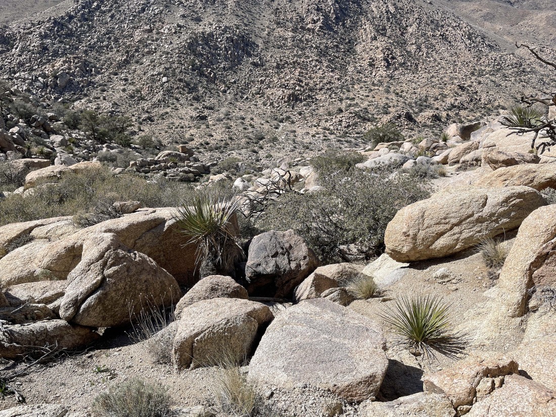
Working my way down to Johnny Lang Canyon.
|
Working my way down to Johnny Lang Canyon.
|
Working my way down to Johnny Lang Canyon.
|
After hiking a total of 2.4 miles I have reached Johnny Lang Canyon... and now I can exhale... here looking back up at Peak 5080... and if I ever do this peak again, I will go up the route I just came down.
|
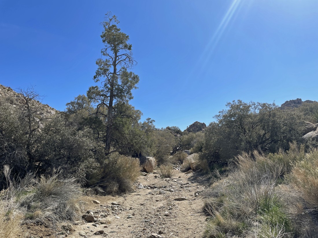
Hiking south in Johnny Lang Canyon... looking for Lost Horse Valley.
|
Hiking south in Johnny Lang Canyon... looking for Lost Horse Valley.
|
Hiking south in Johnny Lang Canyon... looking for Lost Horse Valley.
|
Hiking south in Johnny Lang Canyon... looking for Lost Horse Valley.
|
|
After hiking a total of 3.6 miles I have reached Lost Horse Valley.
|
After hiking a total of 4.3 miles I have reached the 'Randolph Ranch'.
|
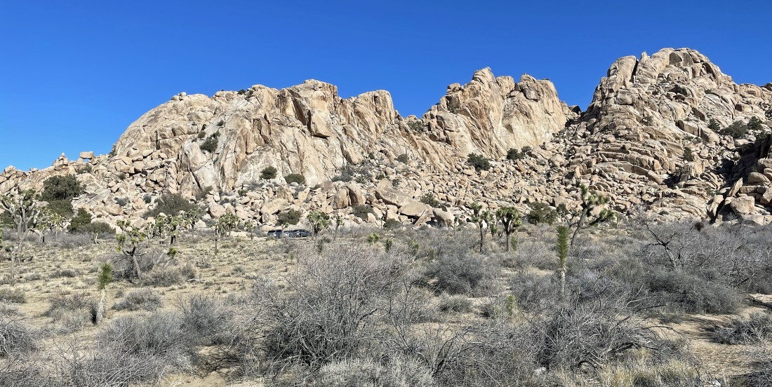
Heading for the car... with the rock formations of Hidden Valley and Hemingway in the foreground.
|
Nearing the car.
|
A stone's throw from the car with the back side of the 'Hemingway Buttress' dominating the photo... the total hike was 6.4 miles with 1208 feet of elevation gain.
|
