Nob, Forks and Point 3678 - 2.26.2023
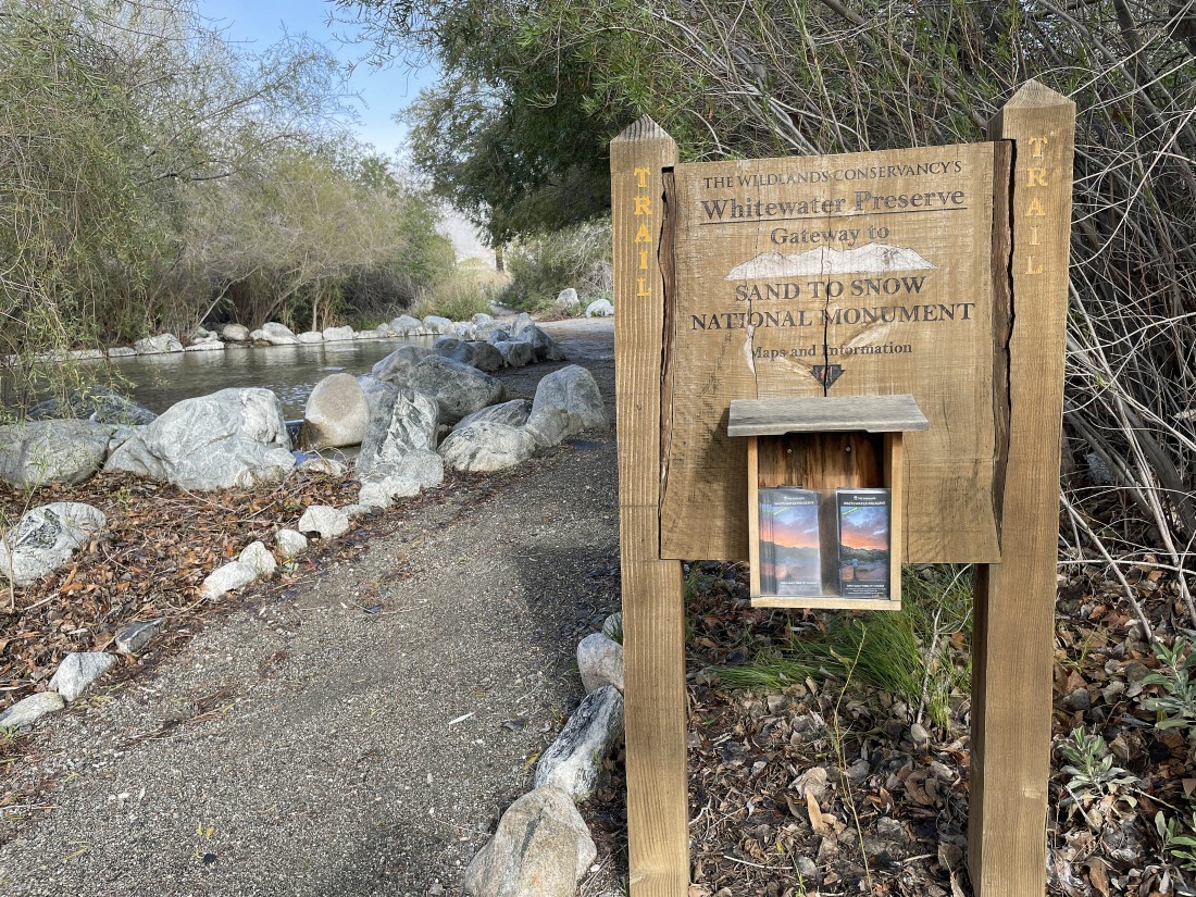
I parked at the Whitewater Preserve in Riverside County, California... a 30 minute drive from Palm Springs... it is the gateway to the 'Sand to Snow' National Monument.
|
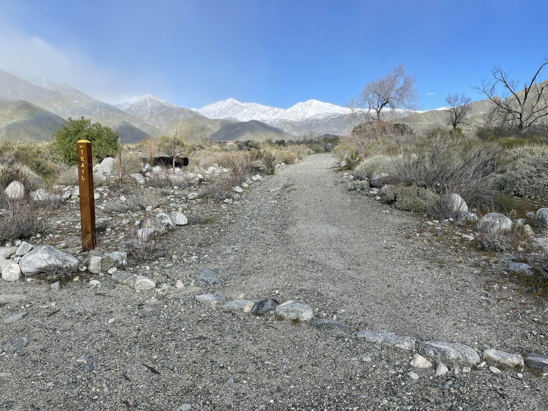
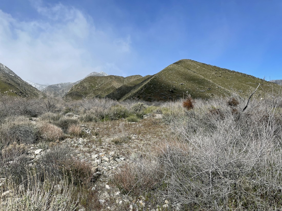
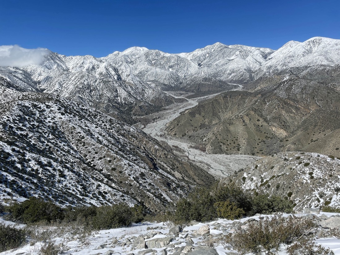
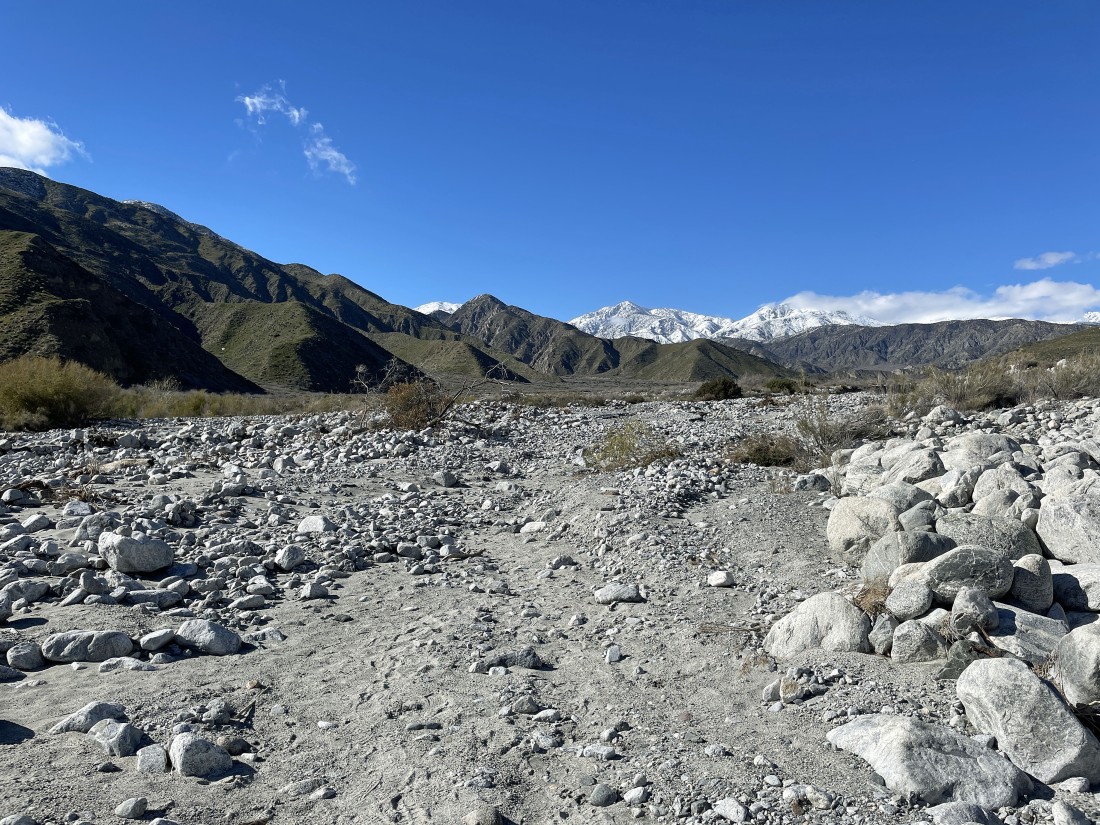
Shortly after starting the hike I got a nice view of some of the San Bernardino Mountains... and I can see the ridgeline that I will hike along in the left center of the photo.
|
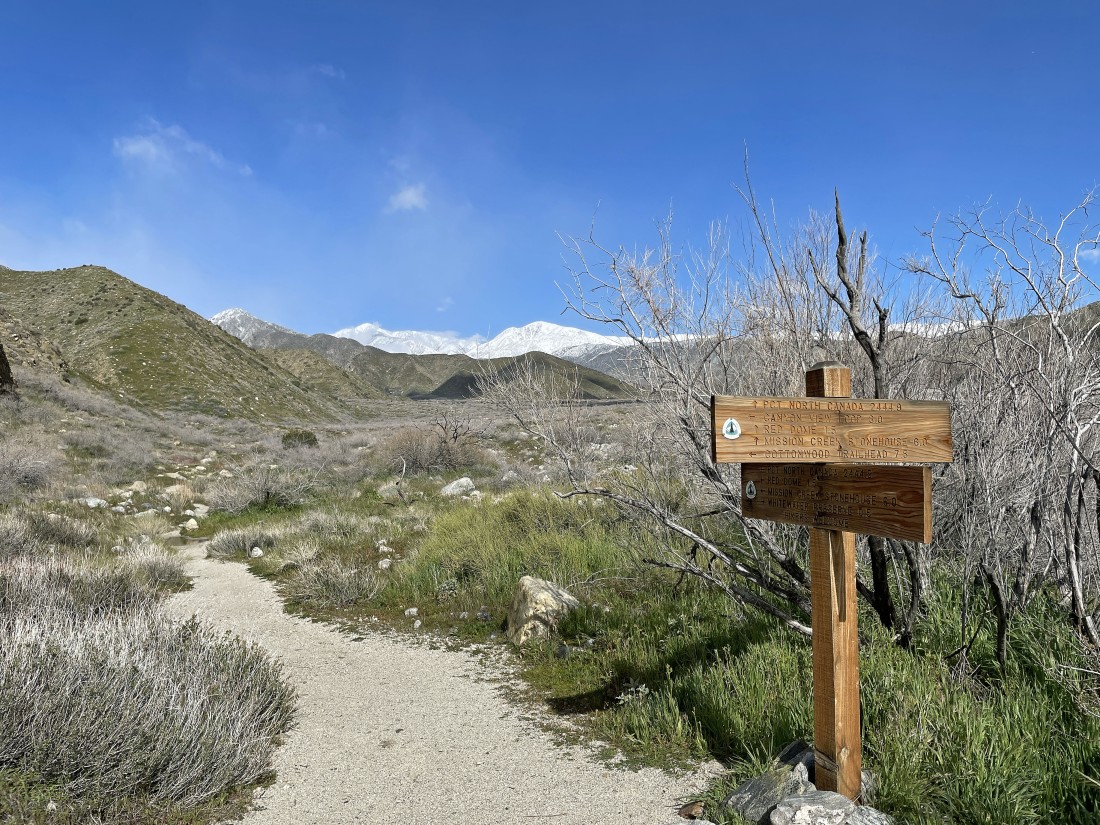
After hiking .8 miles I will join the Pacific Crest Trail for a short distance... following it out to the bump in the center of the photo that is referred to as 'Forks' on the USGS Map... and note that only 2,444 miles of hiking on the PCT will get you to Canada.
|
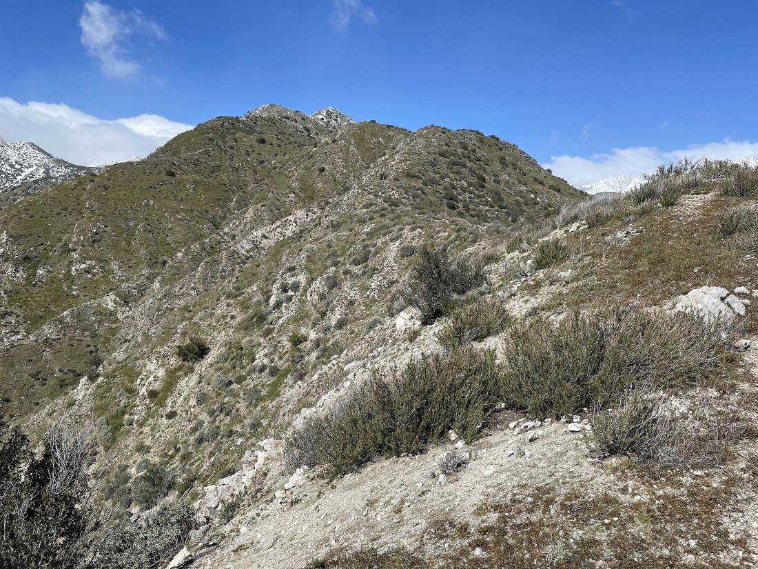
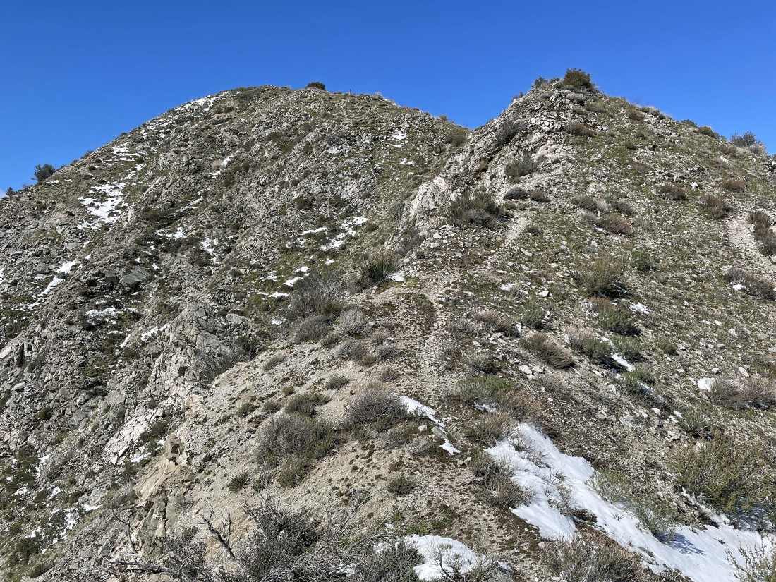
Getting closer to the 'Forks' bump in the shade on the far right... and I get a pretty good look at the ridgeline I will follow from right to left.
|
Nearing 'Forks'.
|

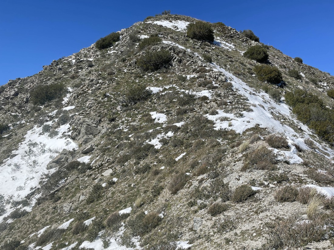
After hiking 2.3 miles I'm on the summit of Forks (aka Point 3028)... and looking at the ridgeline I will follow up to Point 3678 and 'Nob' (aka Point 4455)... there will be lots of ups and downs.
|
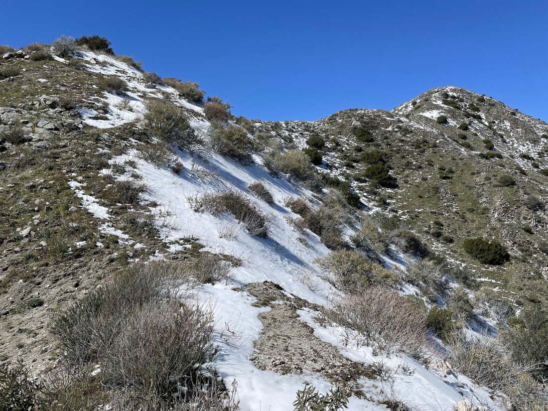
Continuing to gain elevation on the ridge.
|
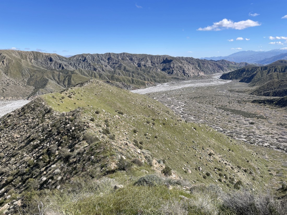
Looking back at my route up the ridge as I get closer to Point 3678... watching the Whitewater River flow through the preserve on its way down to Coachella Valley and the Salton Sea.
|
Continuing to gain elevation on the ridge... with Point 3678 in the left foreground.
|
Reeling in Point 3678.
|
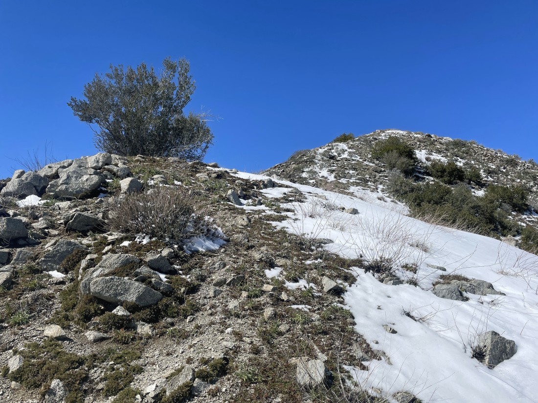
Ups and downs on the way to Point 3678.
|
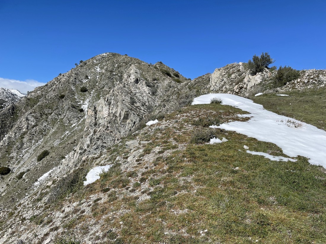
Nearing Point 3678 on the far left... and I think I can see 'Nob' out there on the right.
|
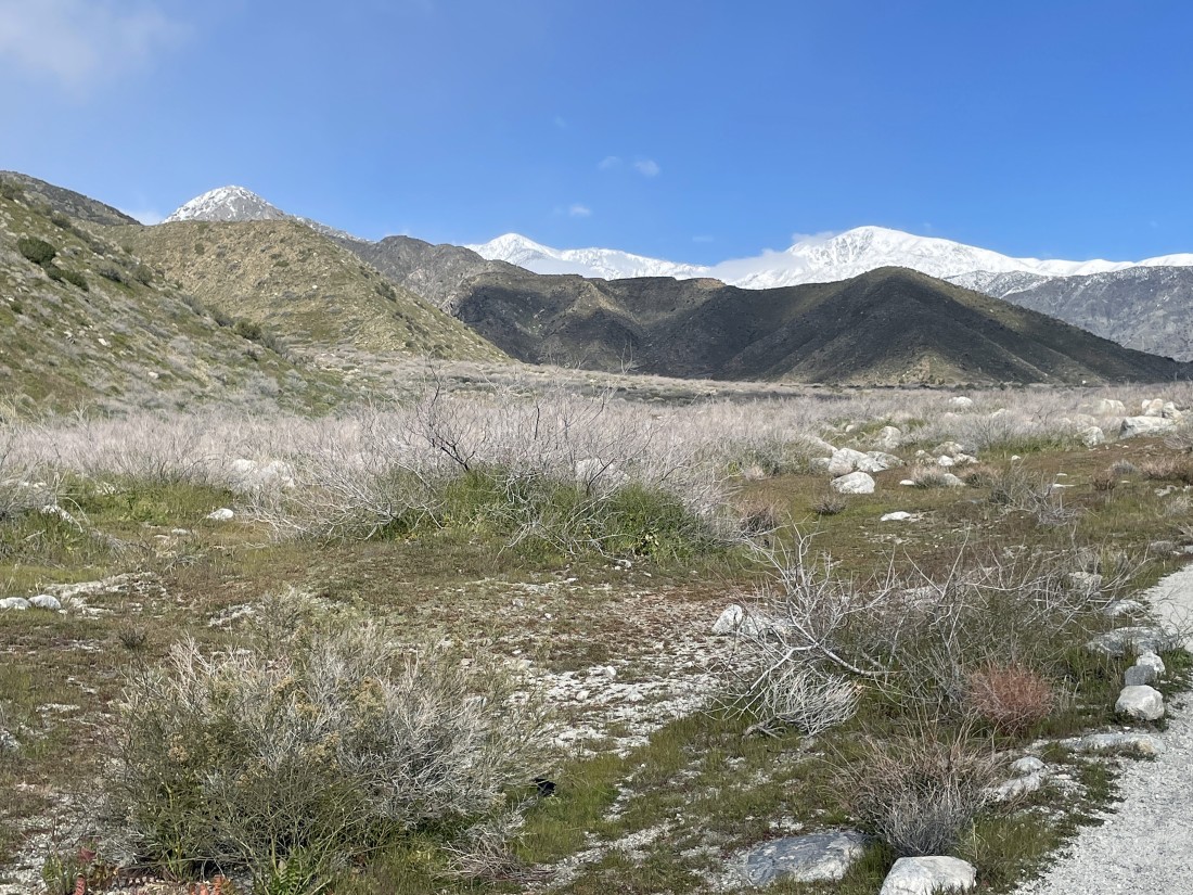
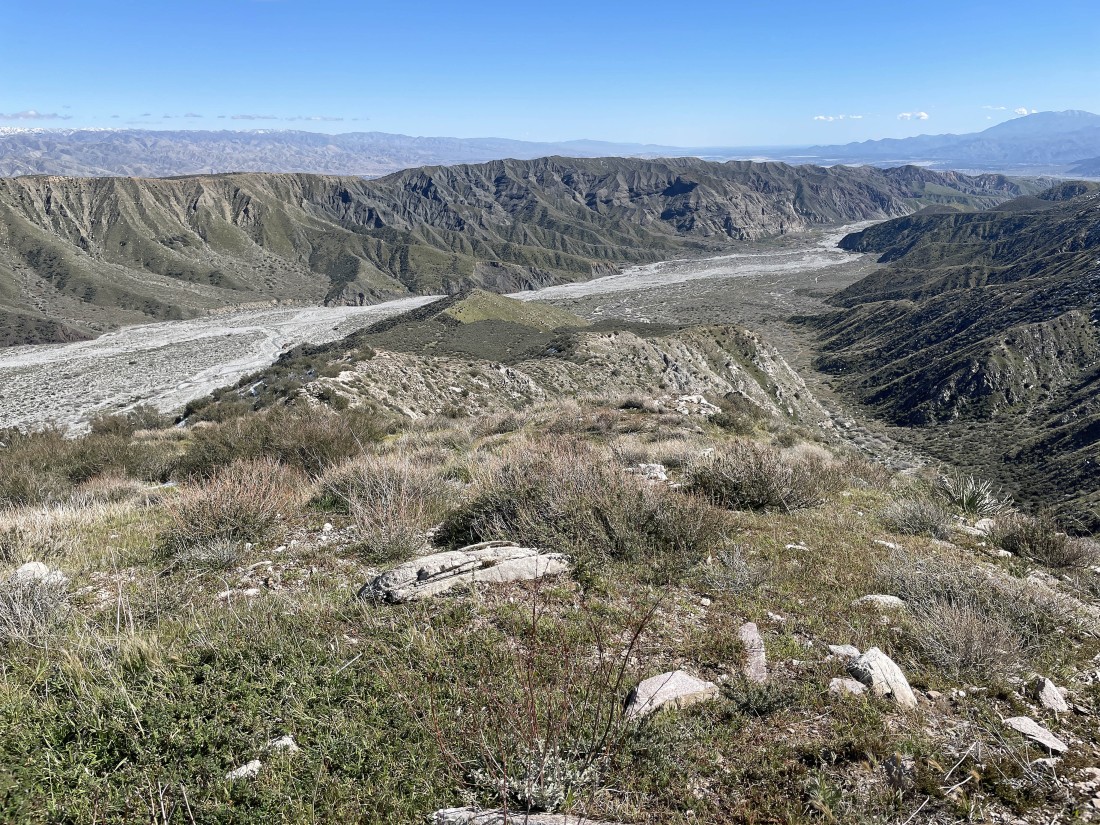
Looking back at my ridge route... and I can see the Salton Sea on the horizon in the middle of the photo.
|
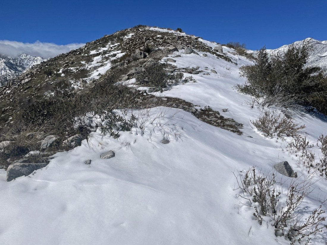
After hiking a total of 3.1 miles I'm on the summit of Point 3678... and I can see 'Nob' out there... at least I think that is 'Nob'.
|
Heading for 'Nob'.
|
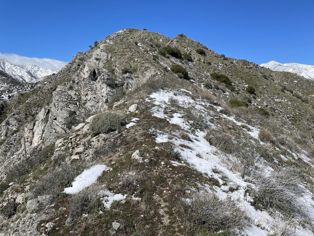
Okay... 'Nob' is further than I thought.
|
Almost on the summit of 'Nob'.
|
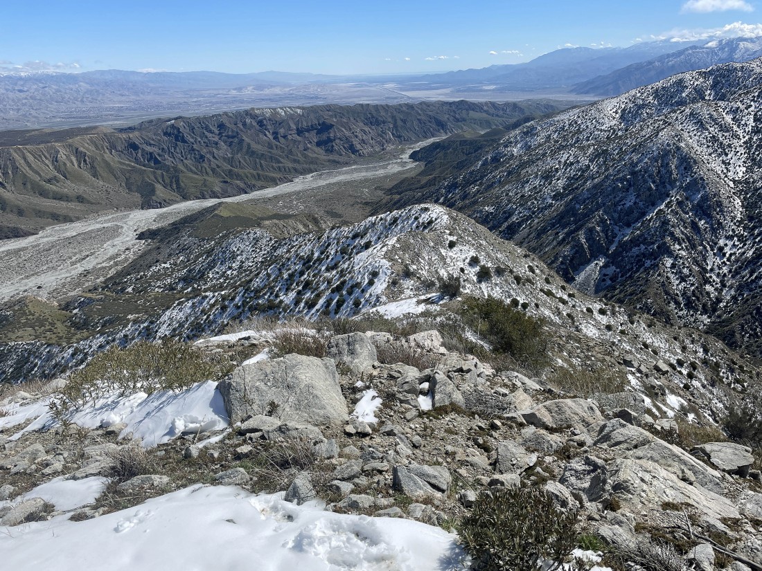
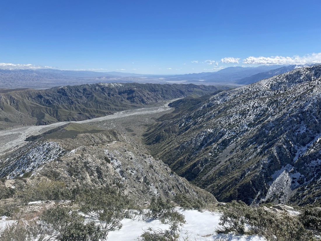
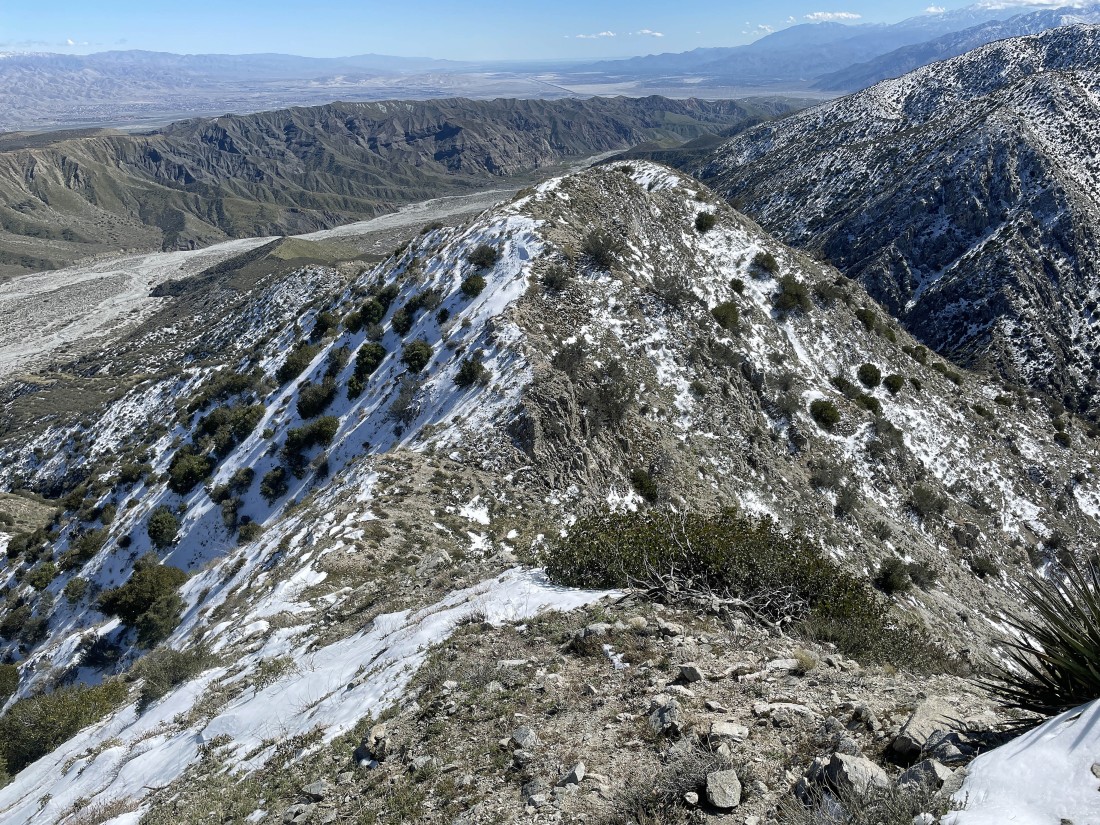
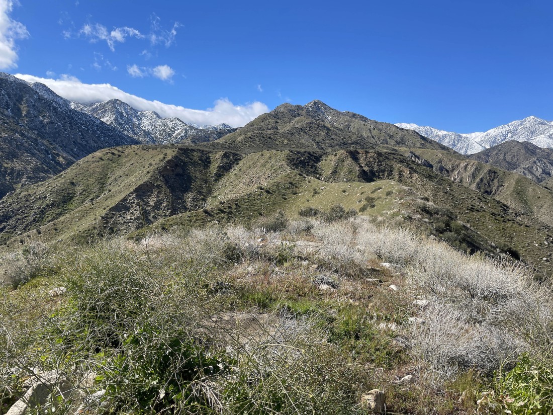
After hiking a total of 3.8 miles I am on the summit of 'Nob' (aka Point 4455)... here looking back at my ridge route that goes down to the Whitewater River... and a nice view of the Coachella Valley (home of Palm Springs and other cities) that leads down to the Salton Sea on the horizon.
|
A pano shot from 'Nob'... looking NW (left) to NE (right) at the San Bernardino Mountains... with the south and middle forks of the Whitewater River joining together in the middle of the photo.
|
A closer look at the south and middle forks of the Whitewater River joining together... with the top of 11,503 foot San Gorgonio Mountain (the highest point in southern California) clearly visible in the left-center of the photo.
|
|
A pano shot from 'Nob'... here looking over to the Little San Bernardino Mountains and Joshua Tree National Park on the left horizon... Coachella Valley and the Salton Sea in the middle of the photo... and if the clouds weren't in the photo we would be looking at the top of 10,834 foot San Jacinto Peak beyond the ridge in the foreground on the right.
|
Leaving the summit and heading back down the ridge.
|
Continuing down the ridge.
|
Continuing down the ridge.
|
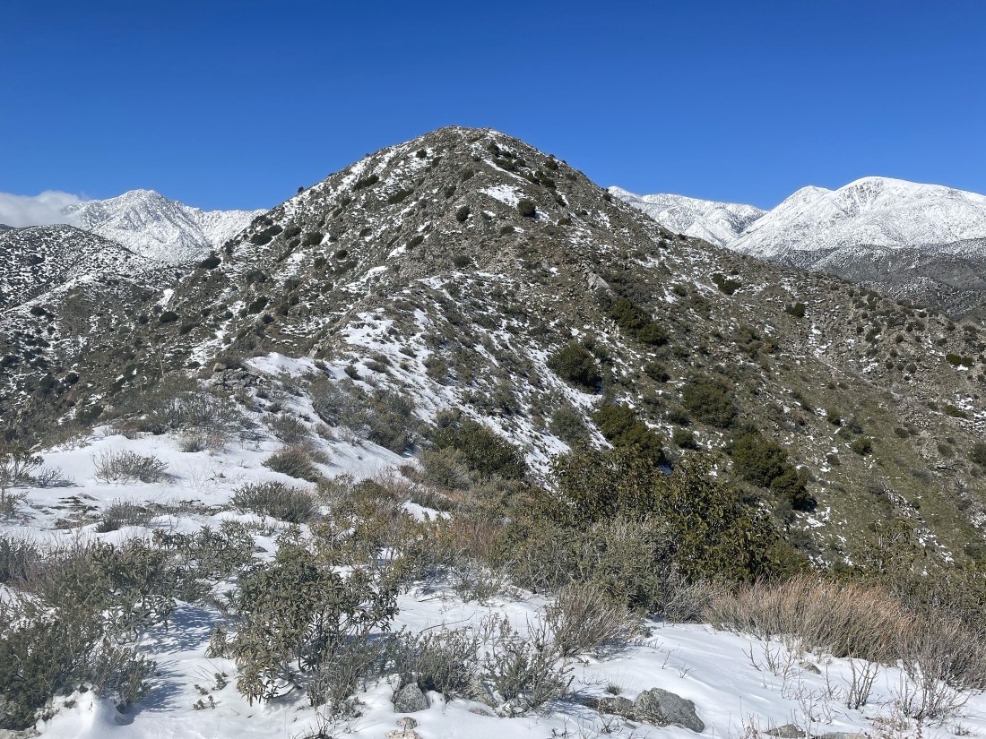
Continuing down the ridge... with 'Forks' out there in the distance.
|
On the summit of 'Forks'... looking back at Point 3678 and 'Nob' in the center of the photo.
|
Heading down 'Forks'... and now I can see San Jacinto Peak on the far right-center horizon.
|
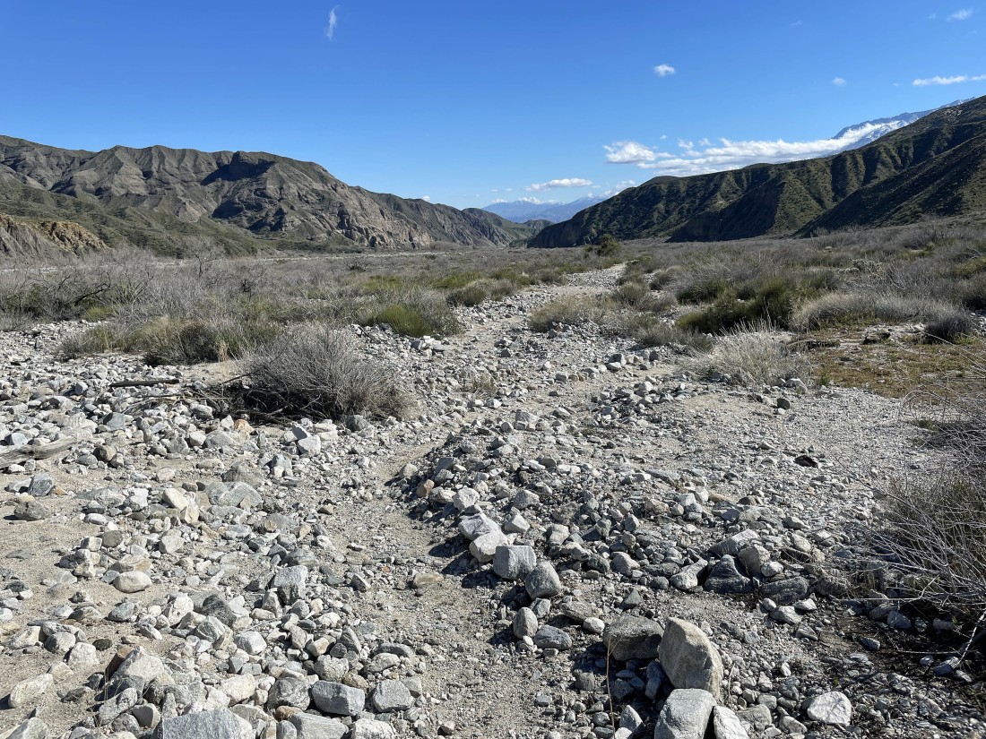
After hiking a total of 5.7 miles I'm off of the ridge and back on a nice trail... continuing to trace my steps back to the car.
|
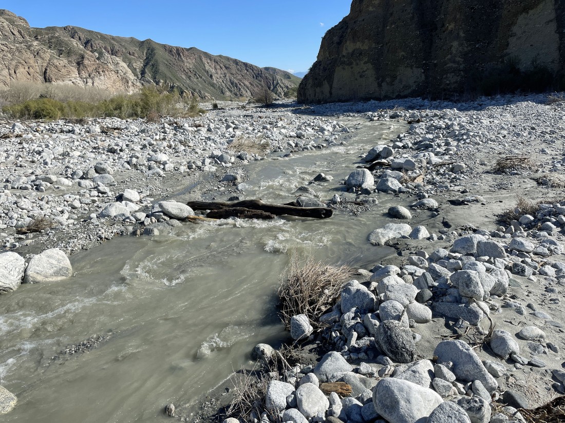
After hiking a total of 7.2 miles I am crossing the Whitewater River... flowing faster than it might appear in the photo.
|
Almost back to my car... here looking back out to the ridge I hiked up to the 'Nob'... the total hike was 7.5 miles, gaining 2302 feet of elevation.
|
