Mount Minerva Hoyt - 3.3.2023
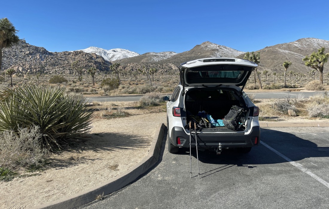
I parked at the Quail Springs Picnic Area in Joshua Tree National Park... here looking at the two snow covered mountains on the horizon... the mountain on the left is Mt. Minerva Hoyt... and the mountain on the right is Quail Mountain... the high point in the park.
|
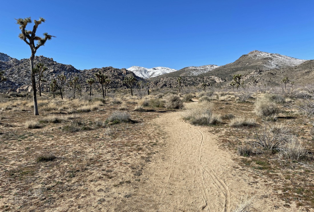
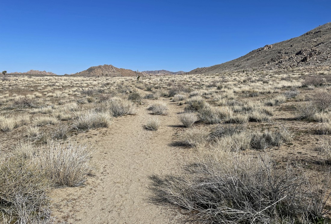
A nice path (unofficial trail) will take me over to the foothills in the center of the photo.
|
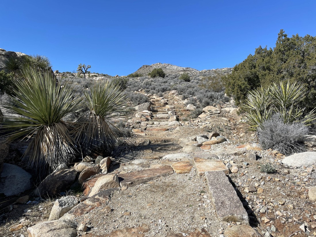
After hiking a total of .7 miles I am leaving the desert floor and heading up the stairway to heaven.
|
Gaining some elevation on a good path... Mt. Minerva Hoyt is the mountain on the right above... with Lang Mine Peak the peak to the left of Minerva Hoyt.
|
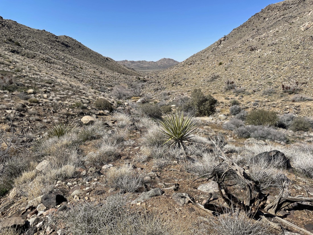
After hiking a total of 2 miles I have entered Johnny Lang Canyon... time to head up a gully toward Minerva Hoyt.
|
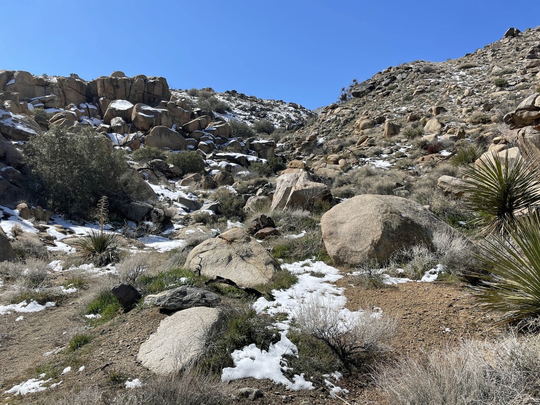
I wasn't in Johnny Lang Canyon very long... now heading up a gully toward Minerva Hoyt.
|
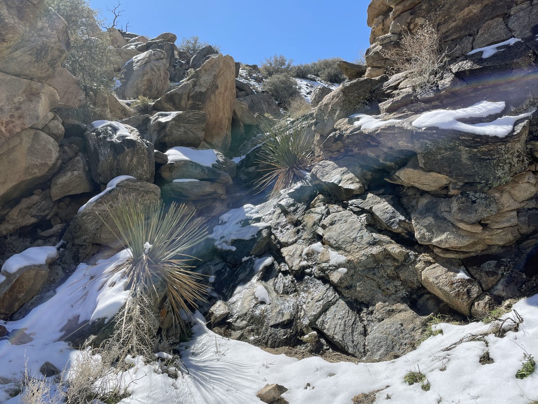
The gully was a bit challenging in some places, but not too bad.
|
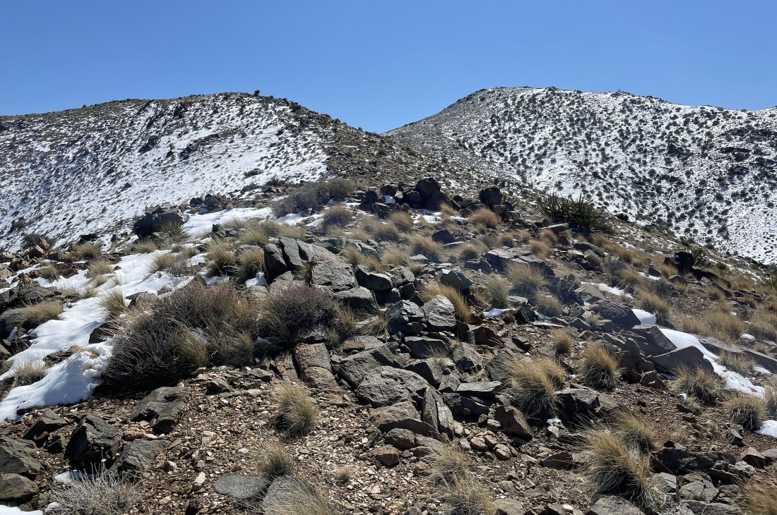
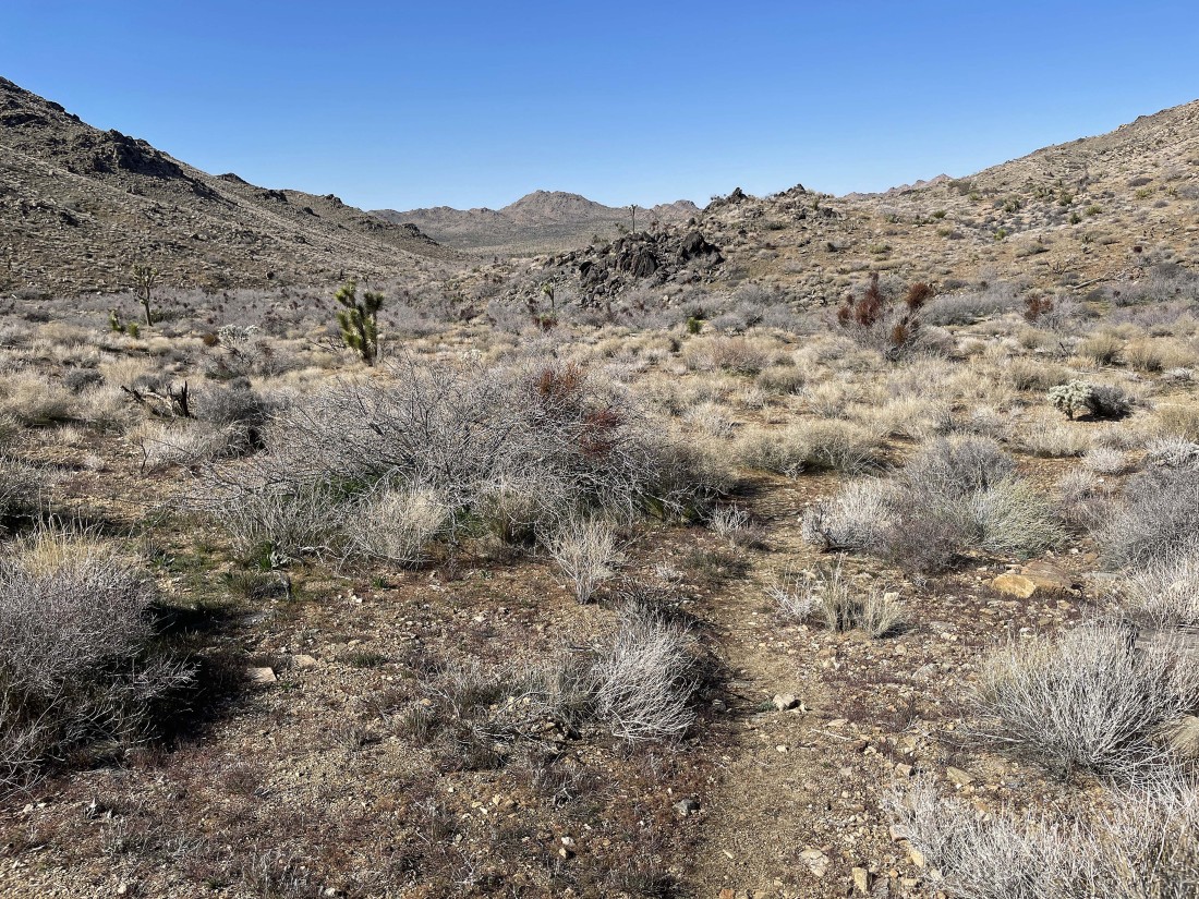
The big bump in the distance on the right is blocking my view of Mount Minerva Hoyt... with Lang Mine Peak the bump on the far left.
|
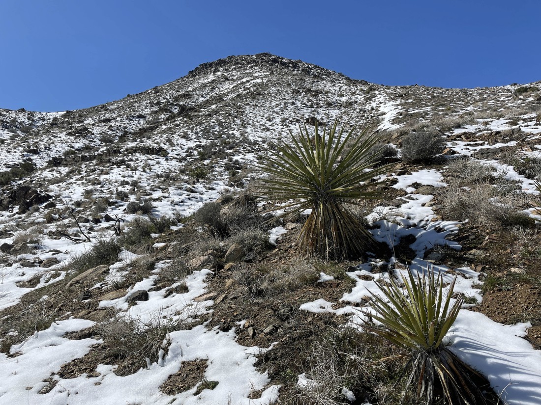
Heading up toward the bump that is blocking my view of Minerva Hoyt... I will continue up toward the top of the bump... and angle to the left as I near the top of the bump.
|
Continuing up to the steep bump in the previous photo... here looking over to Lang Mine Peak... difficult to see here, but the Johnny Lang Mine is located roughly 250 feet below the summit of Lang Mine Peak.
|
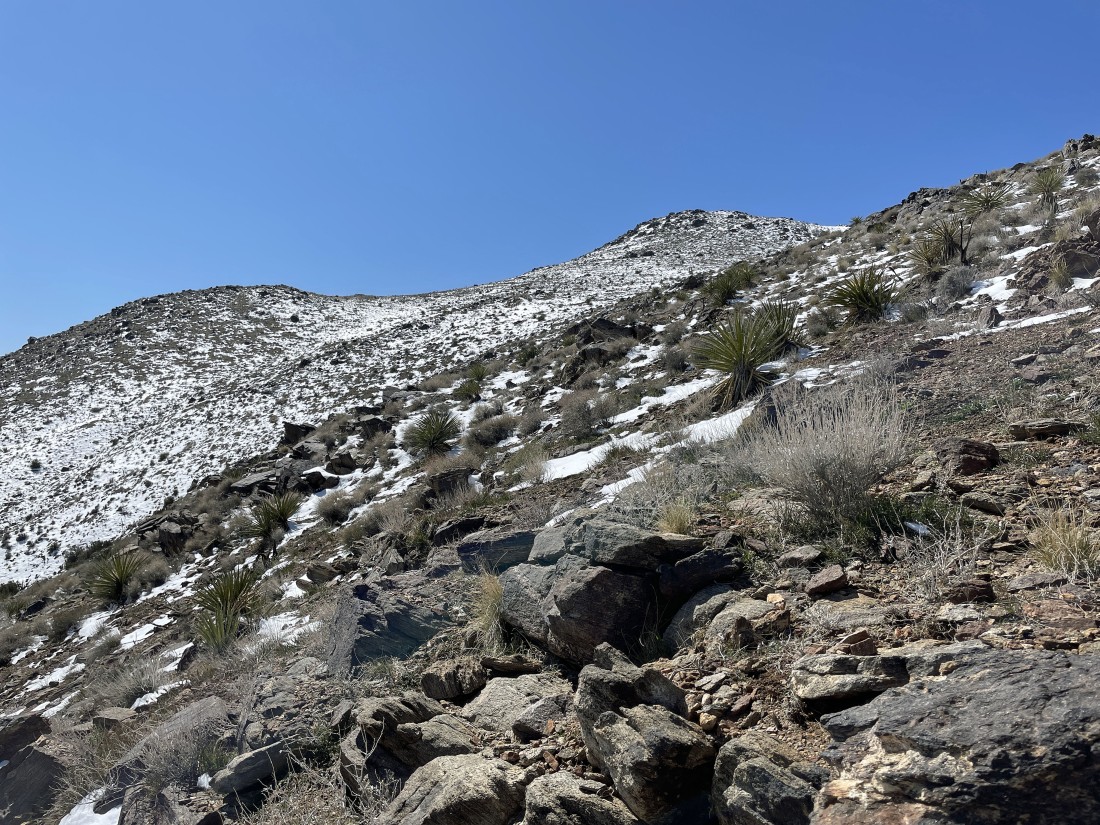
Now I can see Mount Minerva Hoyt... as I reel in the summit.
|
A pano shot showing Lang Mine Peak in the far left foreground... with Minerva Hoyt on the far right... and I can see Ryan Mountain and Lost Horse Mountain on the left horizon.
|
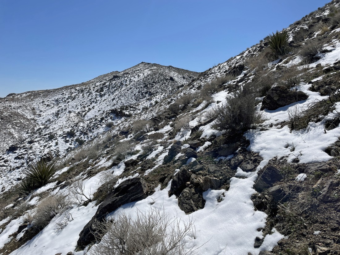
Still gaining elevation on my way to Minerva Hoyt... here looking out to Queen Mountain on the left horizon... Lang Mine Peak in the foreground with Ryan Mountain on the horizon beyond Lang Mine Peak.
|
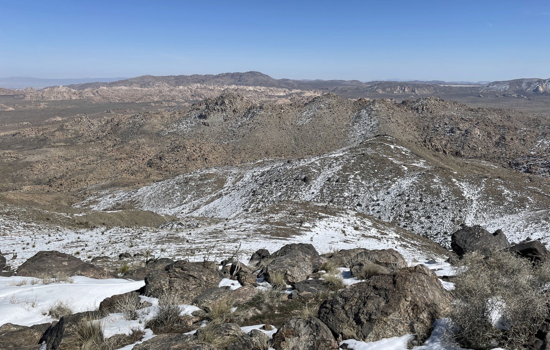
After hiking a total of 3.3 miles I am standing on the summit (5405 feet) of Mount Minerva Hoyt... with Queen Mountain on the far left horizon... Ryan Mountain on the left center horizon... and Quail Mountain in the right foreground.
|
A closer look at Quail Mountain... at 5813 feet Quail is the high point in Joshua Tree National Park.
|
Looking east from Minerva Hoyt to Lang Mine Peak in the foreground... and looking beyond the Wonderland of Rocks to Queen Mountain on the left-center horizon.
|

There was a summit register on the Minerva Hoyt summit... and the jar holding the summit register made me hungry.
|
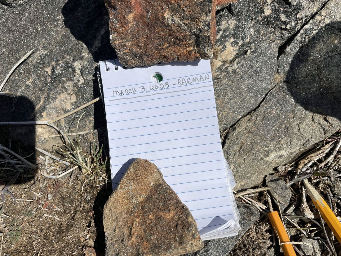
And I did sign the summit register.
|

Time to leave the summit and head down the north ridge of Minerva Hoyt.
|
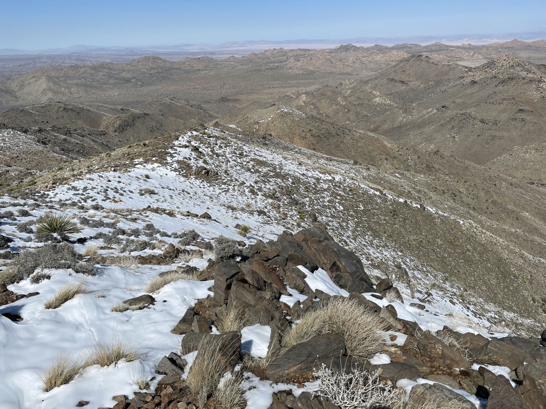
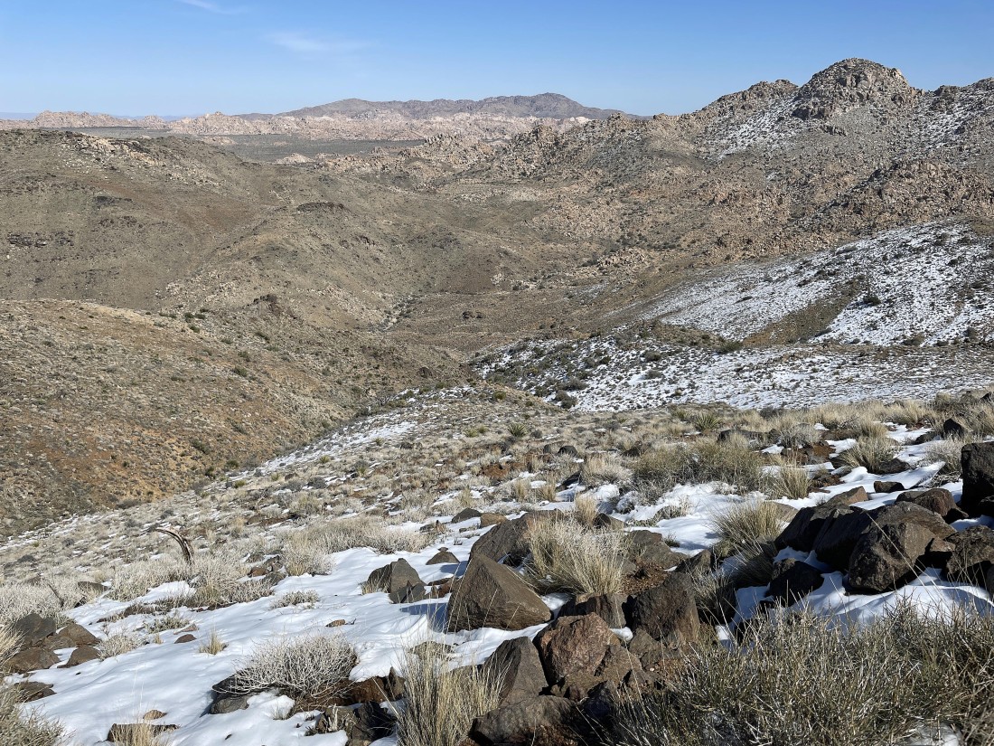
Continuing to head down the north ridge of Minerva Hoyt... with Yucca Valley on the horizon.
|
Looking back at Minerva Hoyt on the right as I continue hiking down the north ridge.
|
Continuing down the north ridge of Minerva Hoyt... and looking beyond the Wonderland of Rocks to Queen Mountain on the right horizon.
|
After hiking a half-mile down the north ridge of Minerva Hoyt it is time to turn to the NE and begin hiking down to Johnny Lang Canyon.
|
On my way down to Johnny Lang Canyon.
|
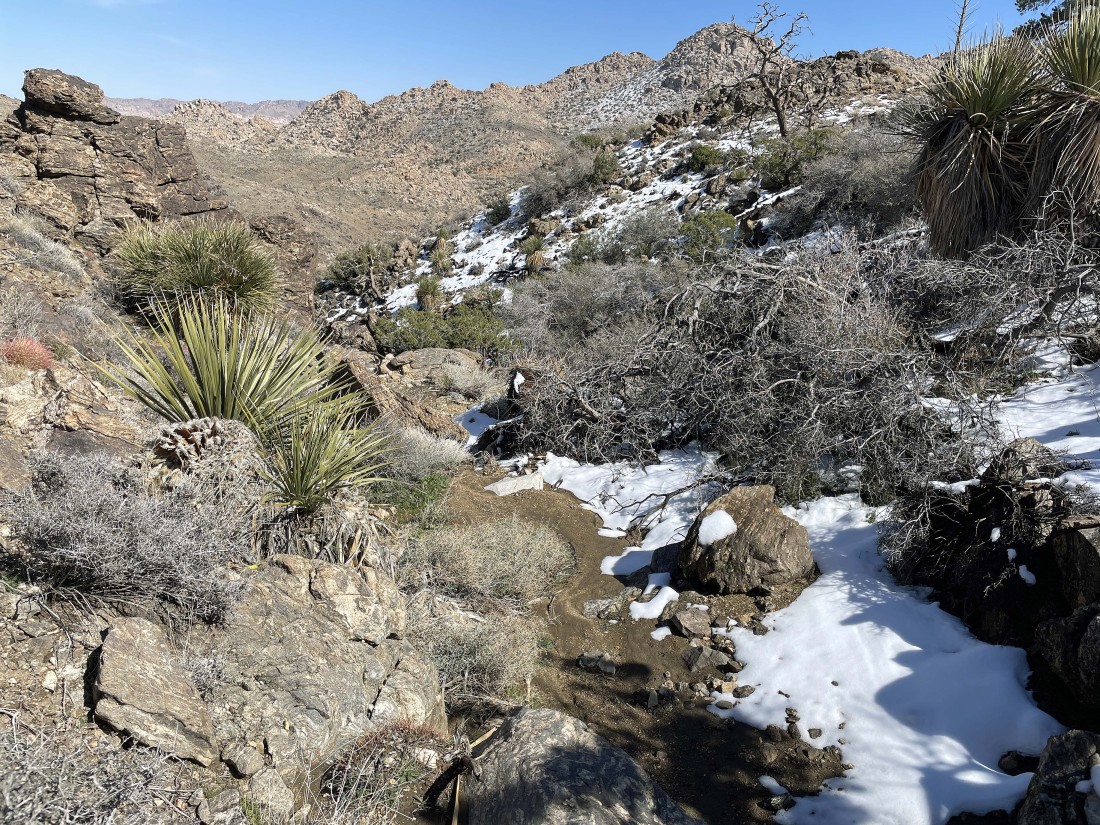
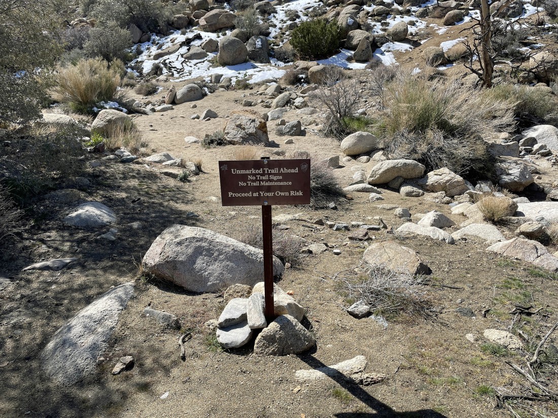
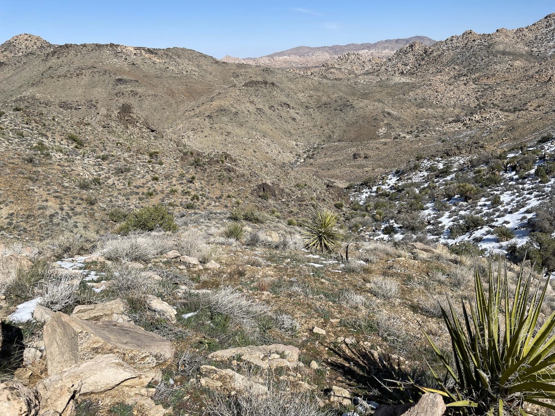
As I neared Johnny Lang Canyon the terrain got a little more gnarly... but there was a faint path that made the terrain fairly easy.
|
After hiking a total of 4.5 miles I have re-entered Johnny Lang Canyon... and I am choosing to hike out to the desert floor via the canyon on my way back to the car.
|
Nearing the desert floor as I continue hiking out of Johnny Lang Canyon.
|
After hiking a total of 5.8 miles I have exited Johnny Lang Canyon and joined the desert floor.
|
After hiking a total of 6.3 miles I have joined Quail Springs Road... a road that is not accessible to vehicles... and I will follow it back to the Quail Springs Picnic Area.
|
Returning to the Quail Springs Picnic Area... the total hike was 8.5 miles, gaining 1827 feet of elevation.
|
