Valhalla Dome - 3.6.2023
|
I parked at the very popular paved parking lot for Barker Dam in Joshua Tree National Park.
|
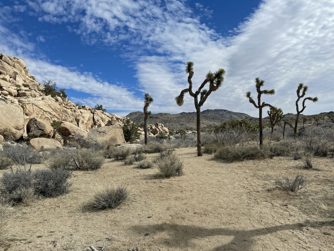
I'm not hiking in to see the Barker Dam and Lake... instead I'm hiking NE along the southern border of the Wonderland of Rocks... hiking toward Queen Mountain on the horizon.
|
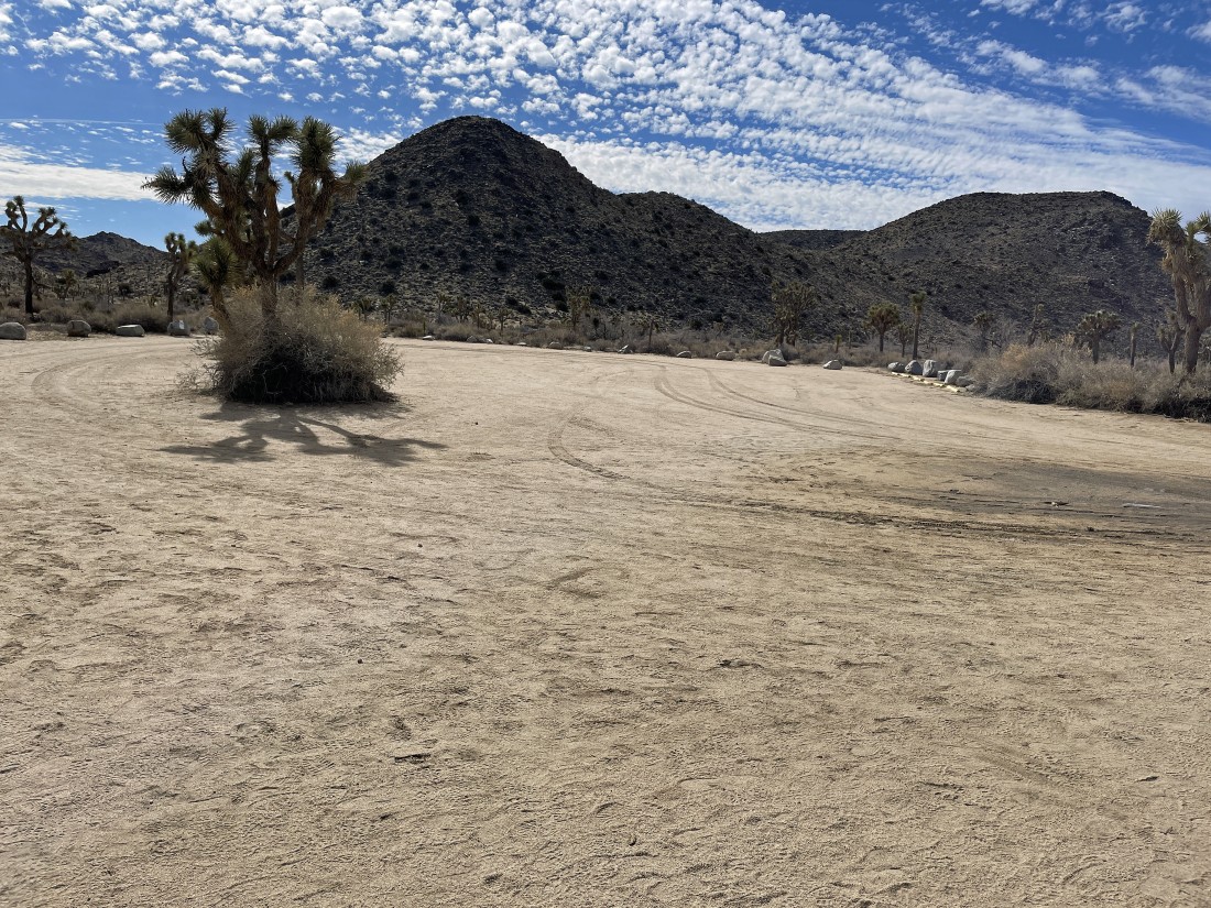
After hiking a third of a mile I am passing by the unpaved overflow parking lot for Barker Dam. It is also a parking lot for the hike to the Wall Street Stamp Mill... but today all unpaved roads in the park are closed due to the large amount of rain.
|
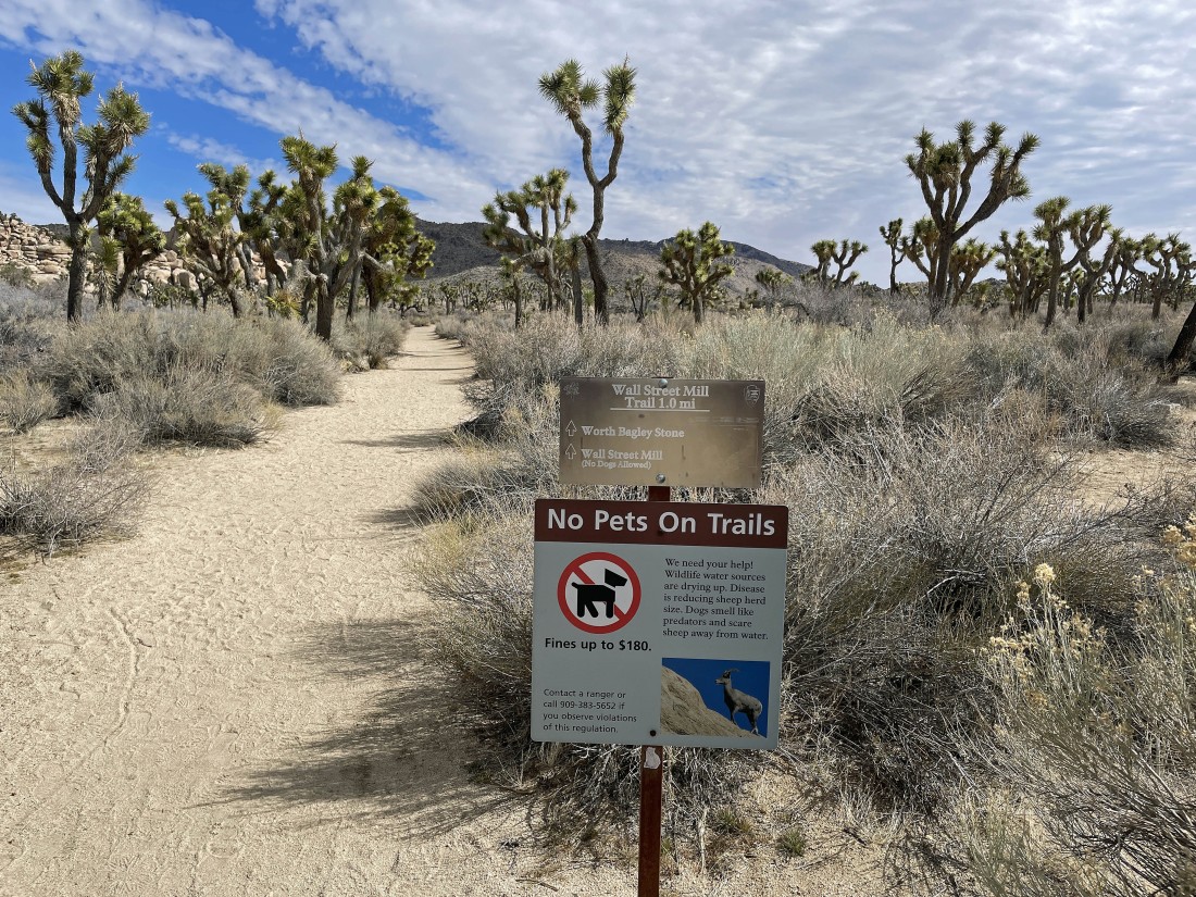
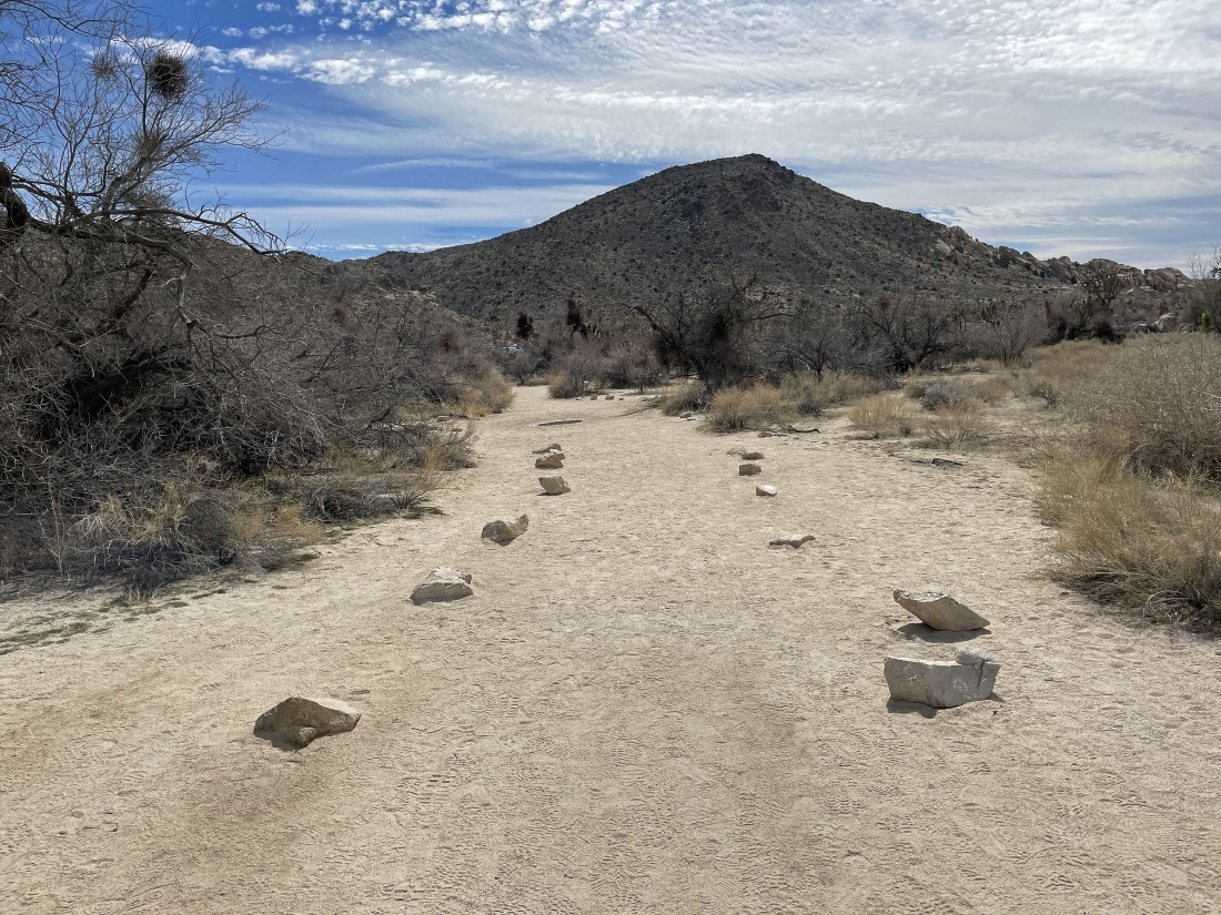
From the unpaved parking lot I will start hiking toward the Wall Street Stamp Mill.
|
After hiking a total of .4 miles (only .1 miles from the unpaved parking lot) there is a fork in the trail... the trail to the right goes on out to the mill... however, I will take the left fork and head for the Wonderland of Rocks.
|
|
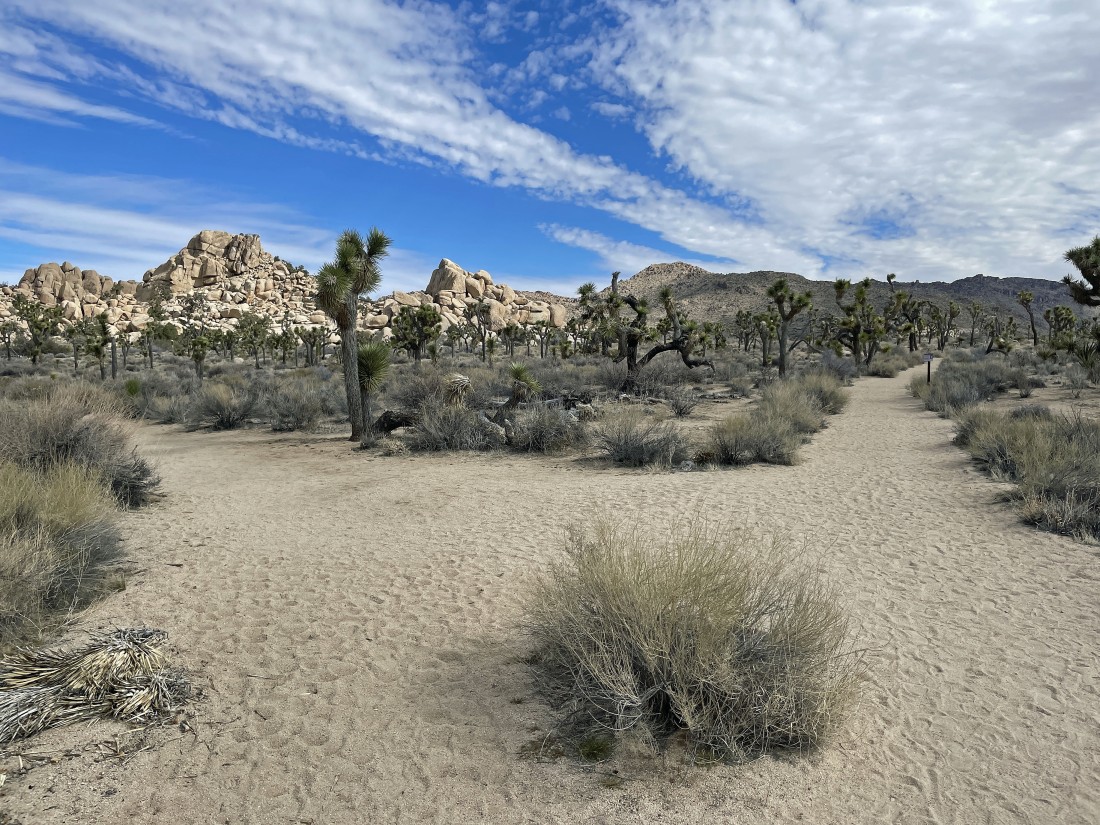
After hiking a total of .5 miles I have reached the Wonderland Ranch... also known as the Pink House and the Worth Bagley Homestead. I will enter the wonderland from behind the ranch.
|
Entering the Wonderland of Rocks from the south entrance.
|
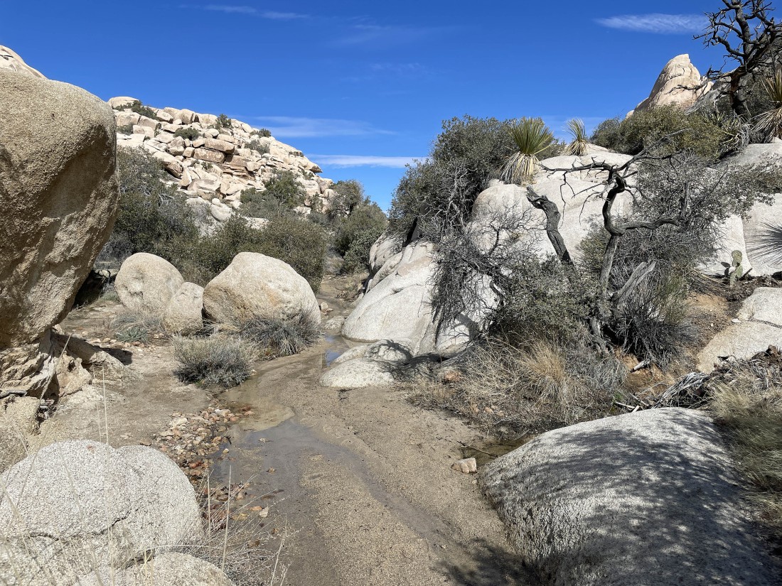
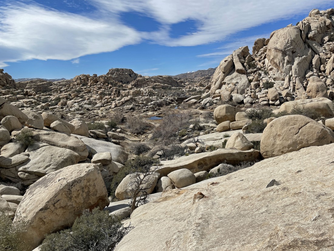
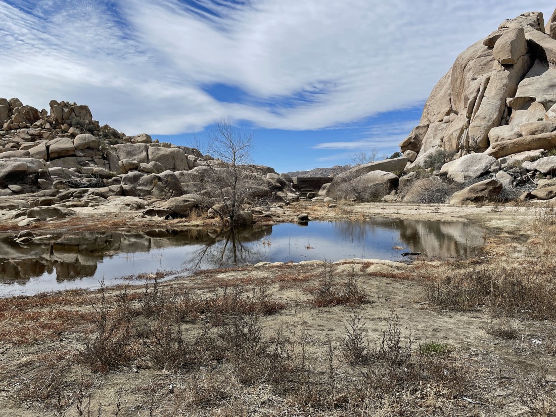
It has been quite a few years since I have seen this much water in the wonderland... and it makes me think a 'super bloom' is coming.
|
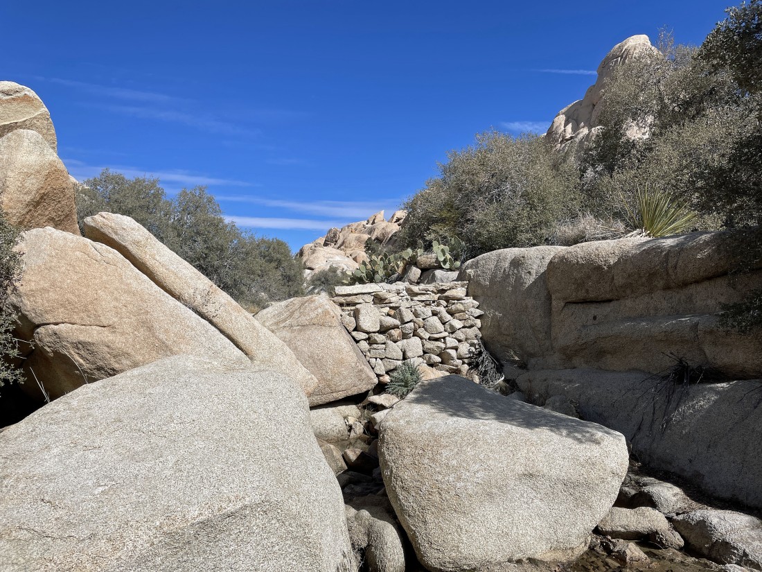
Continuing to hike north in the wonderland... and I assume that the dam was built by Worth Bagley.
|
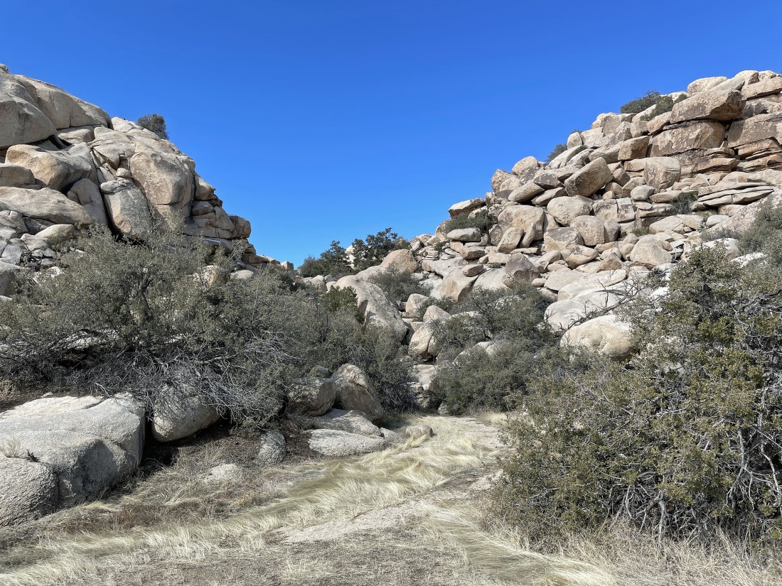
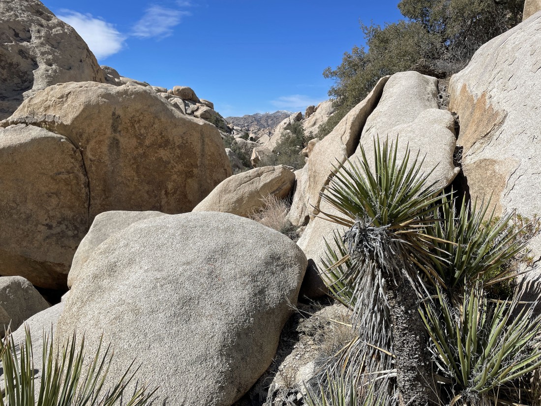
After hiking a total of .8 miles I will turn to the west and hike up this gully (or is it a canyon)... with the south end of Valhalla Dome on the right.
|
|
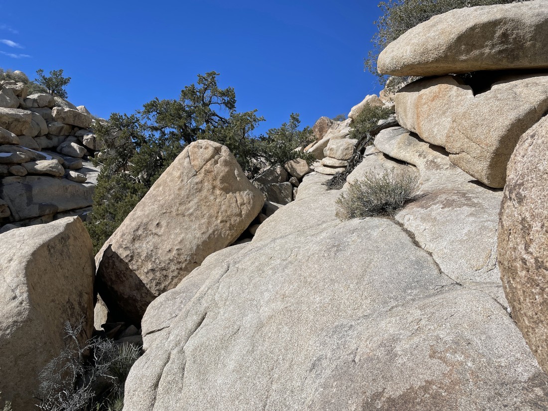
Hiking into the gully on the south end of Valhalla Dome... and it won't take me long to decide to get out of the gully and go 20 or 30 feet up onto the rocks... and continue by paralleling the gully.
|
I'm 20 or 30 feet up out of the gully... here looking back at where I turned into the gully.
|
I will just follow this ramp and see where it will take me.
|
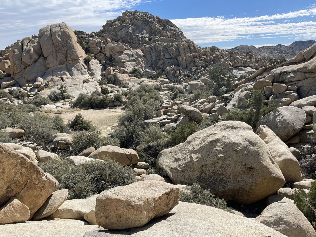
Still hiking west along the south end of Valhalla Dome... more or less paralleling the gully.
|
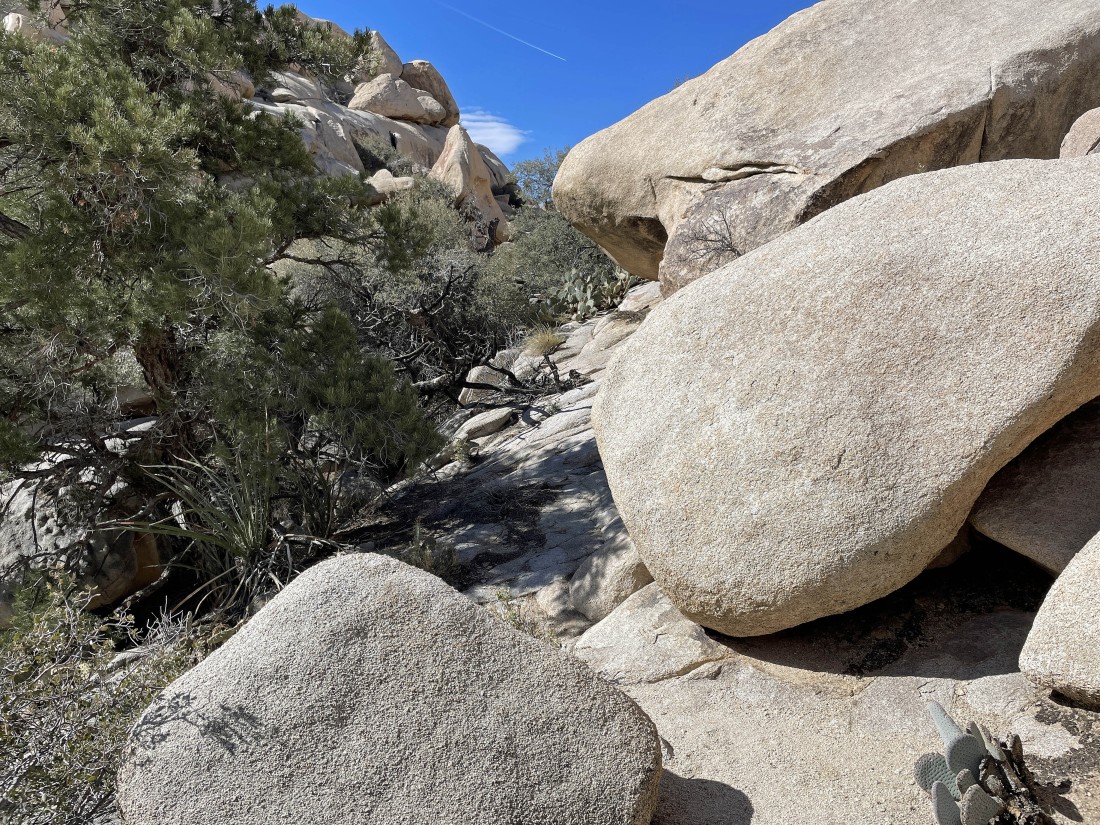
Still hiking west along the south end of Valhalla Dome... more or less paralleling the gully.
|
Still hiking west along the south end of Valhalla Dome... more or less paralleling the gully.
|
After hiking a total of .9 miles I will head up this little ramp on the right... and begin gaining elevation by hiking north on the south side of Valhalla Dome.
|
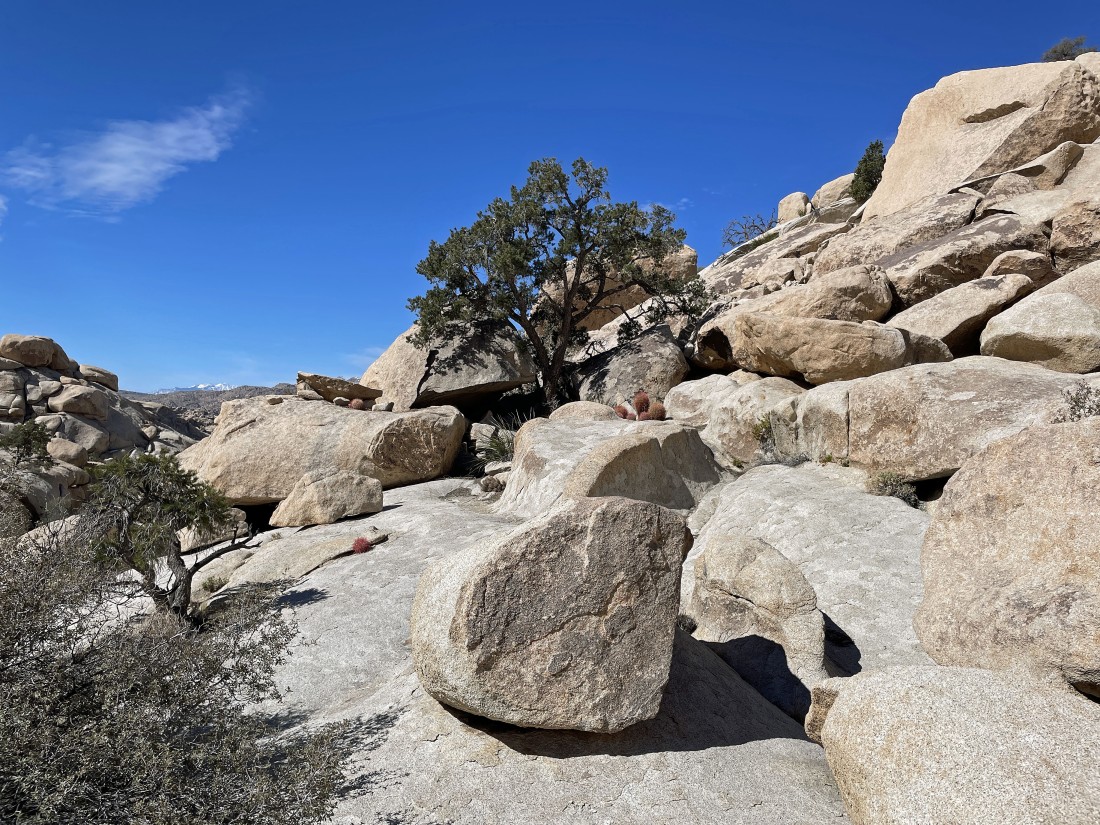
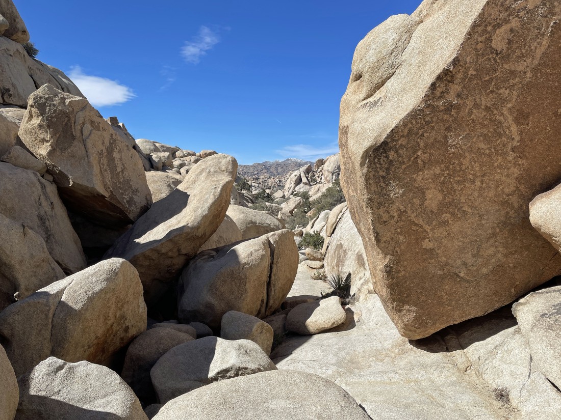
Heading over toward that tree on fairly easy terrain.
|
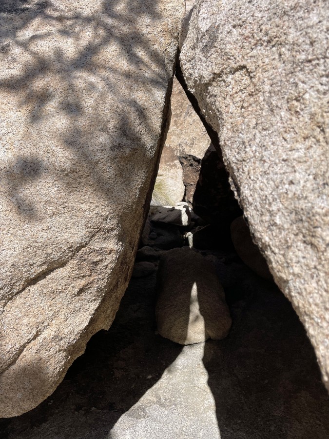
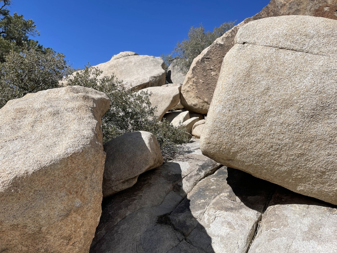
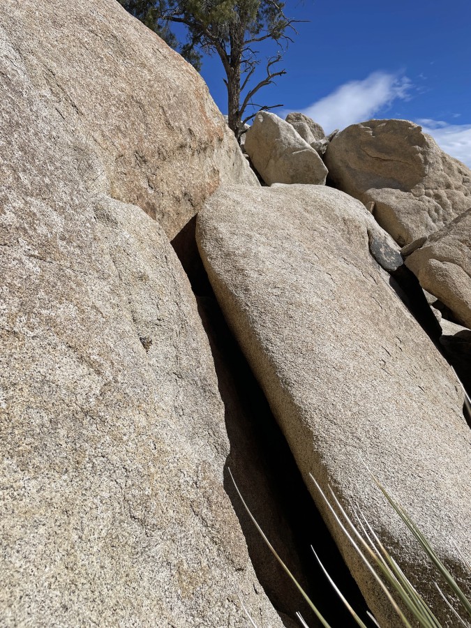
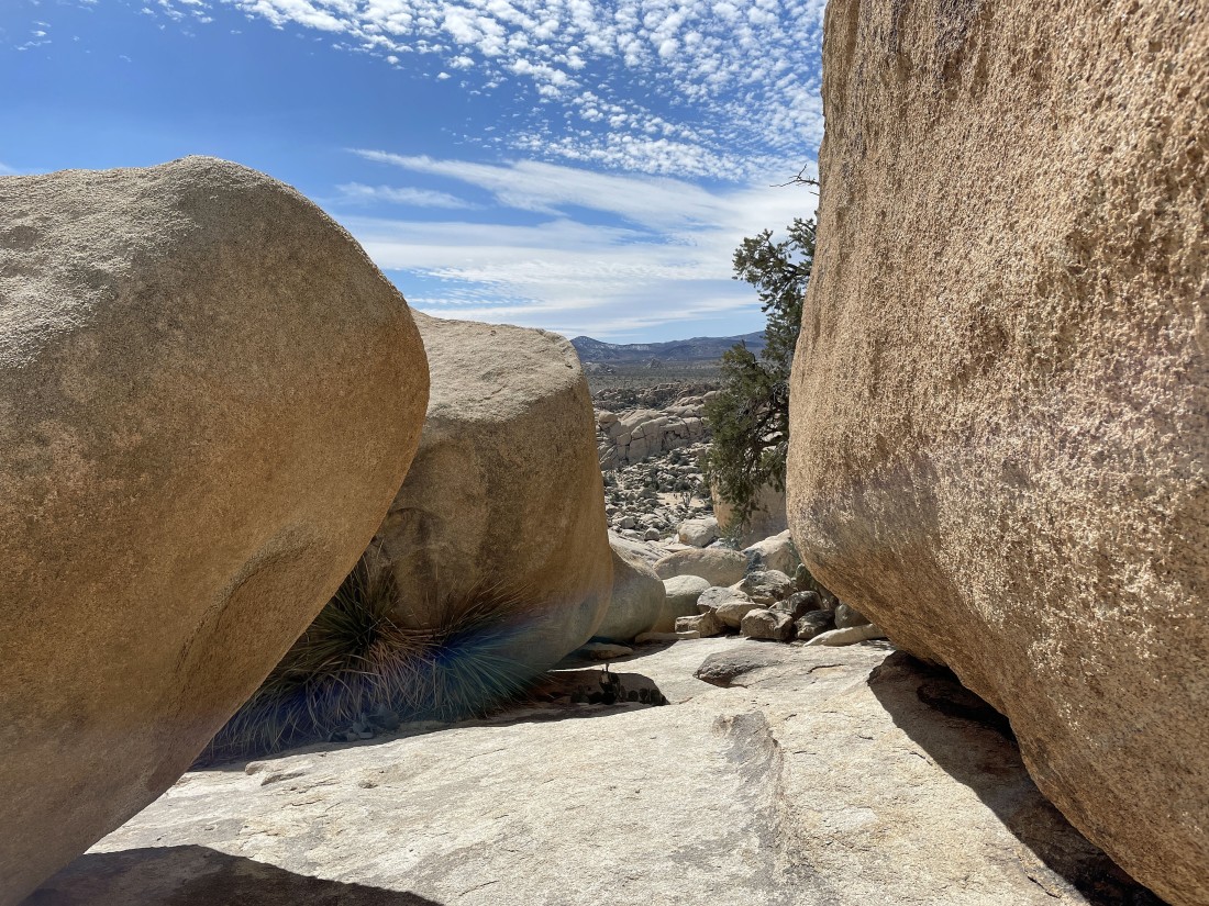
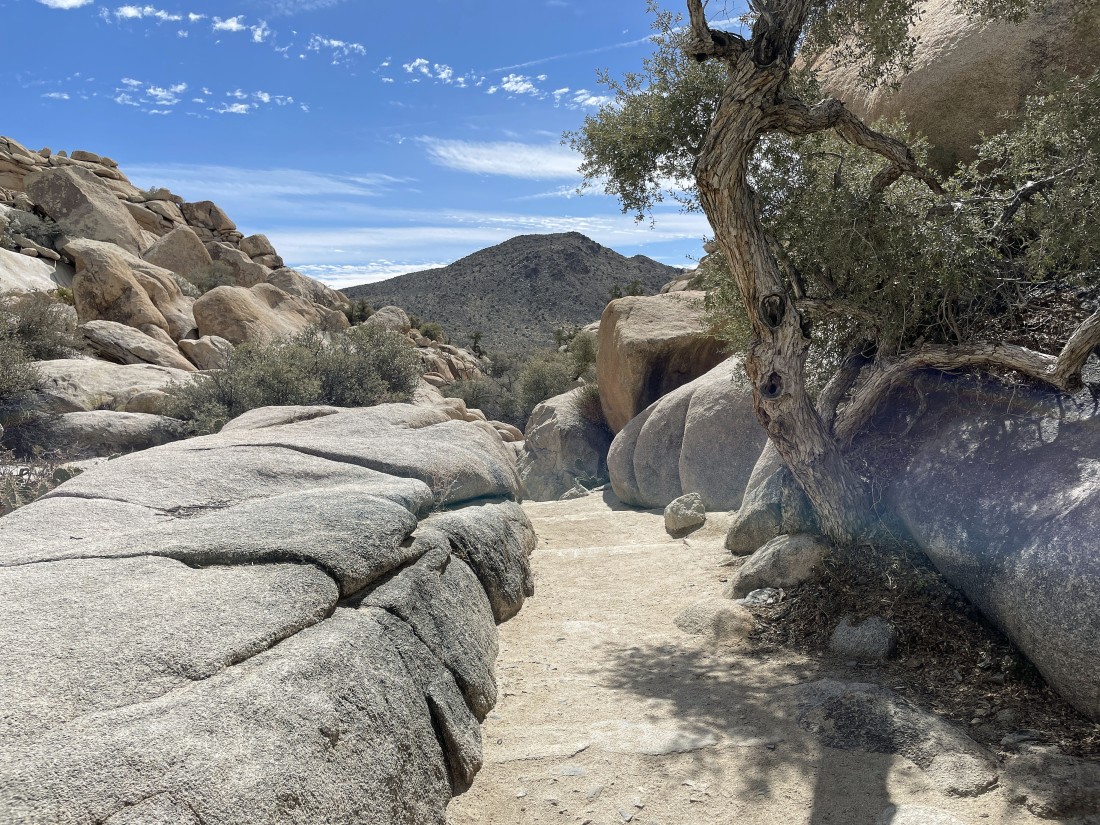
A nice little path through some big boulders.
|
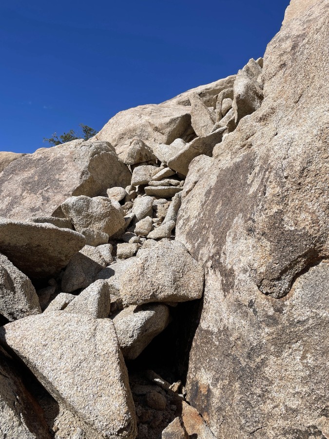
Almost like a staircase... very helpful in going up.
|
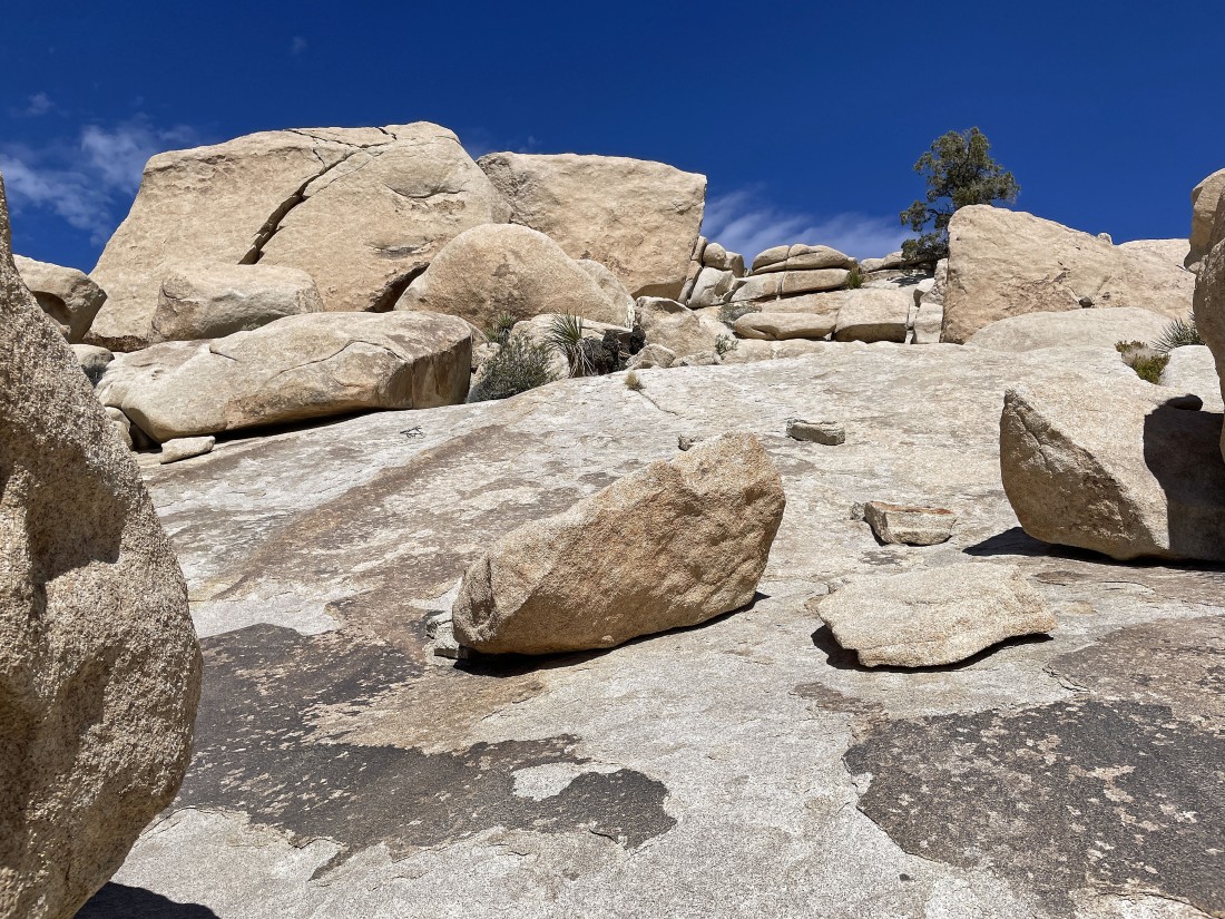
Heading up to the tree above on some nice slabs of rock.
|
Another nice rock ramp will get me up to the tree.
|
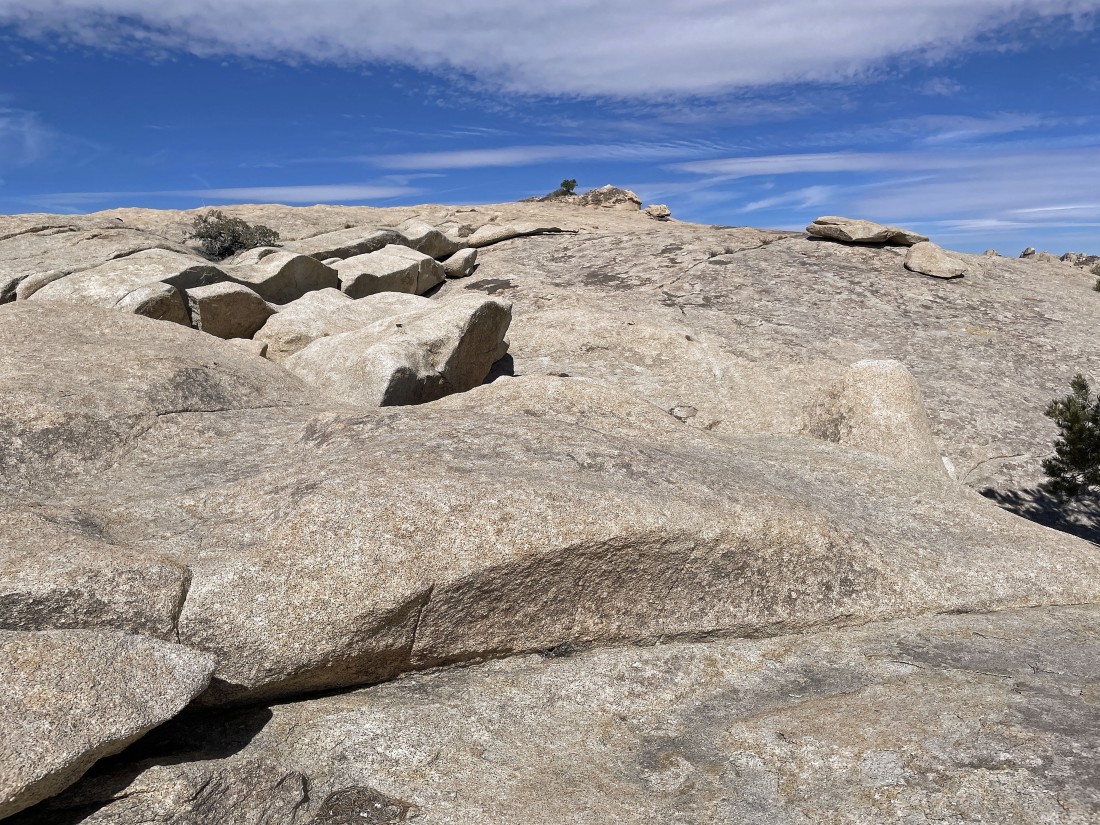
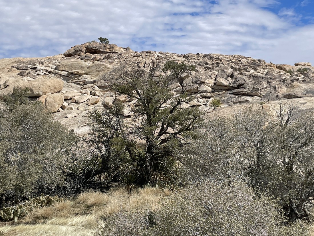
The little tree on the horizon is on the Valhalla Dome summit.
|
Looking south to Ryan Mountain on the far left horizon... and looking across Lost Horse Valley to the Keys View area on the left-center horizon... and looking SW beyond part of the wonderland and Hidden Valley to Quail Mountain on the right-center horizon.
|
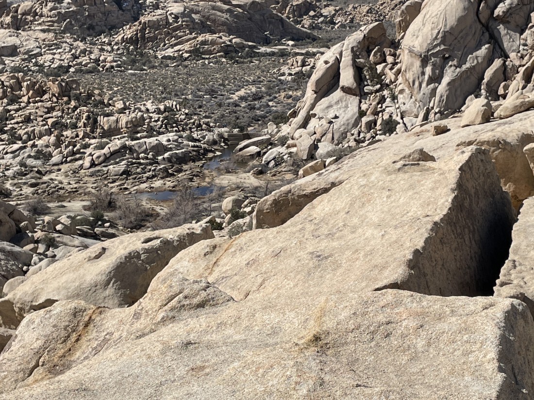
Looking down on Barker Dam... and not much water in Barker Lake.
|
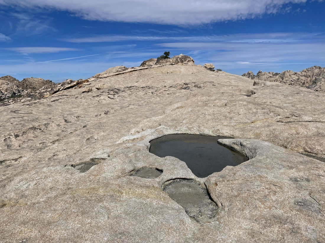
Walking past lots of bird baths as I head over to the summit of Valhalla Dome.
|
After hiking a total of one mile I am standing on the summit (4502 feet) of Valhalla Dome... located on the border of San Bernardino County and Riverside County... here looking north into the Wonderland of Rocks in the foreground... with Queen Mountain on the horizon in the center of the photo... with Queen Valley in the distance on the right.
|
I have left the Valhalla summit... here looking back at the erosion on the west side of the dome.
|
I will make a loop out of this hike as I head down toward Barker Dam.
|
Heading down to Barker Dam... and the route is much easier than the route I used to get up to the Valhalla summit.
|
Reeling in the Barker Dam.
|
After hiking a total of 1.6 miles I am on flat ground again... 5 or 6 years ago I would be standing in water right here.
|
Now hiking on the Barker Dam Loop Trail... here looking back at where I came down from Valhalla Dome in the right-center of the photo.
|
Hiking out of the Barker Dam area.
|
The paved parking lot for Barker Dam is a stone's throw away... the total hike was 2 miles, gaining 271 feet of elevation.
|
