Joshua Mountain - 3.17.2023
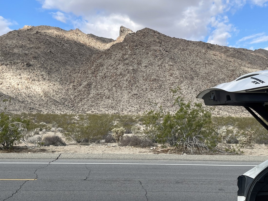
From Highway 62 in the town of Twentynine Palms I drove south for 2.9 miles on Utah Trail which is actually a paved road that leads to the north entrance of Joshua Tree National Park... but the 2.9 miles I drove was well short of the park entrance. I parked on the side of the road... directly across the road from the gully that leads up to Joshua Mountain on the horizon in the center of the photo.
|
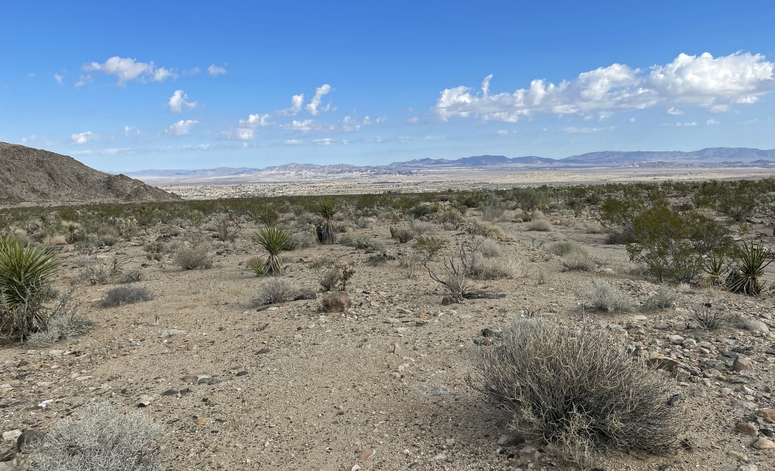
I'm hiking west across the desert from where I parked... here looking north to the town of Twentynine Palms... with the Marine Corps Air Ground Combat Center near the foothills on the horizon.
|
After hiking a half-mile I'm getting ready to leave the desert floor and head up the gully.
|
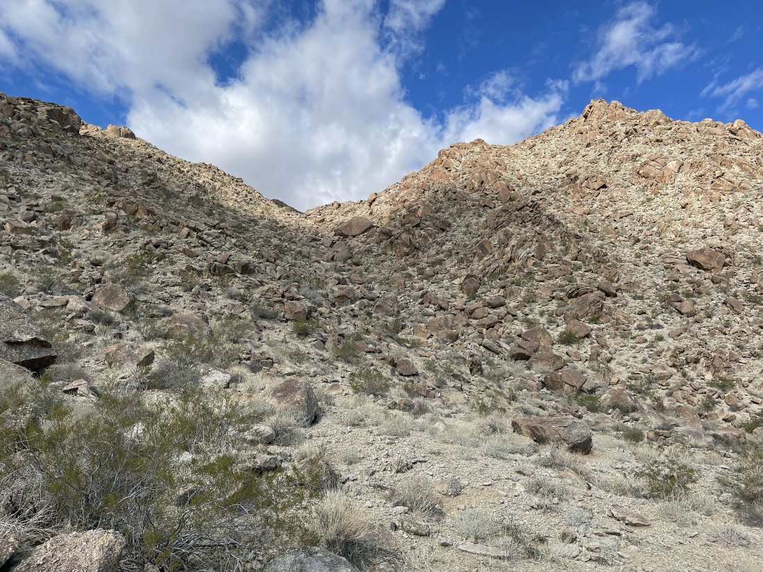
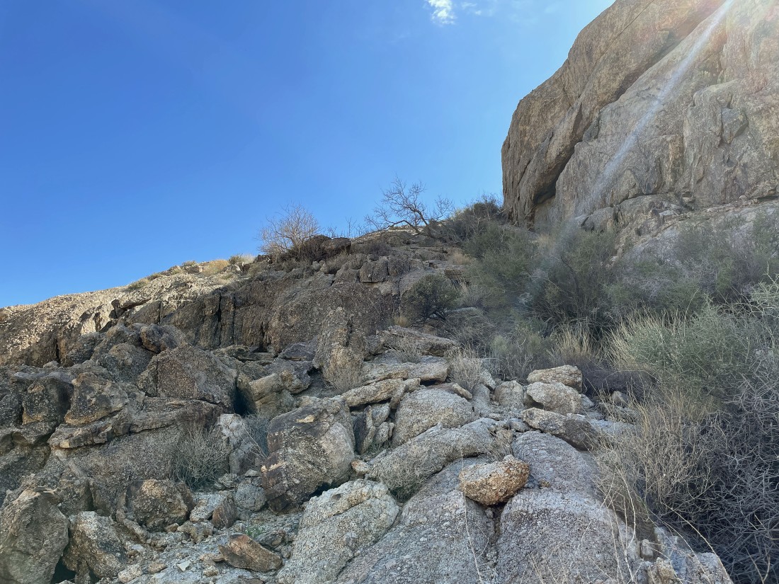
There is a pretty good boot path that goes up the left side of the gully.
|
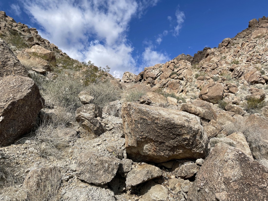
Heading up the left side of the gully.
|
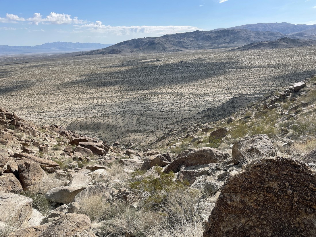
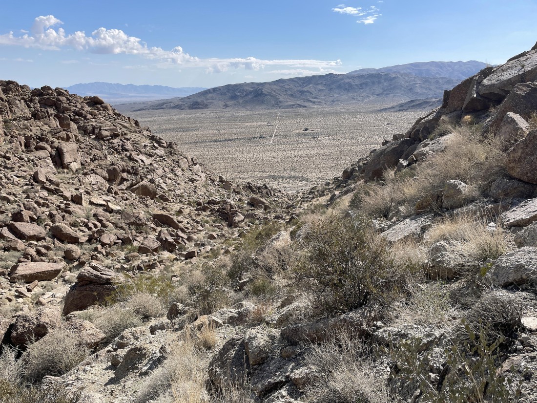
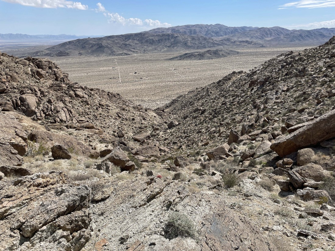
Looking down the gully and across the desert floor to Twentynine Palms Mountain and the northern section of the Pinto Mountains on the horizon.
|
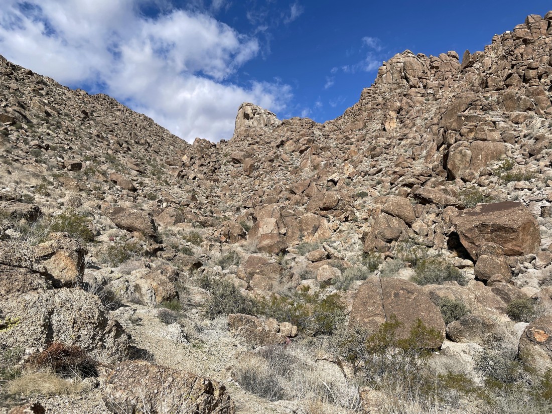
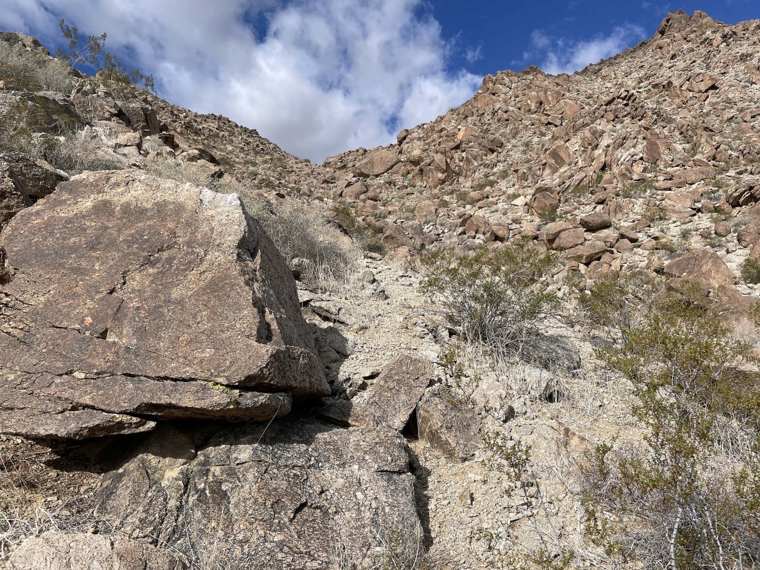
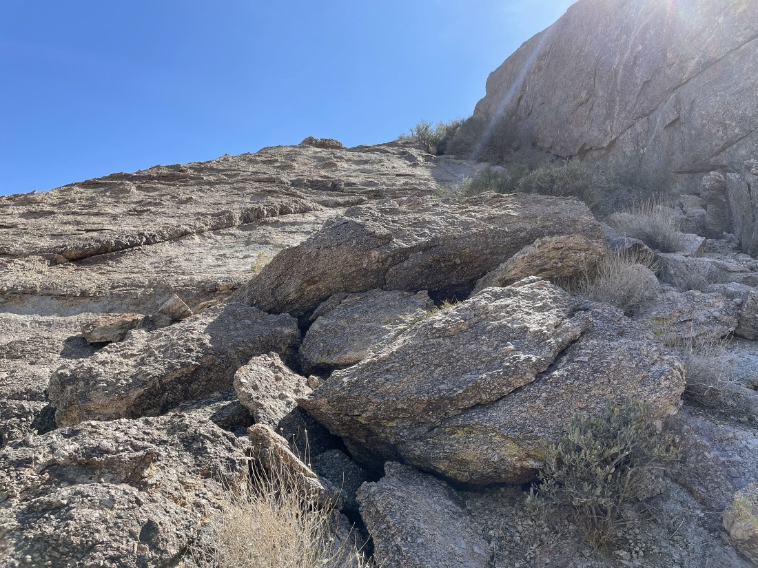
Continuing up the gully.
|
Looking back down the gully as I continue to gain elevation.
|
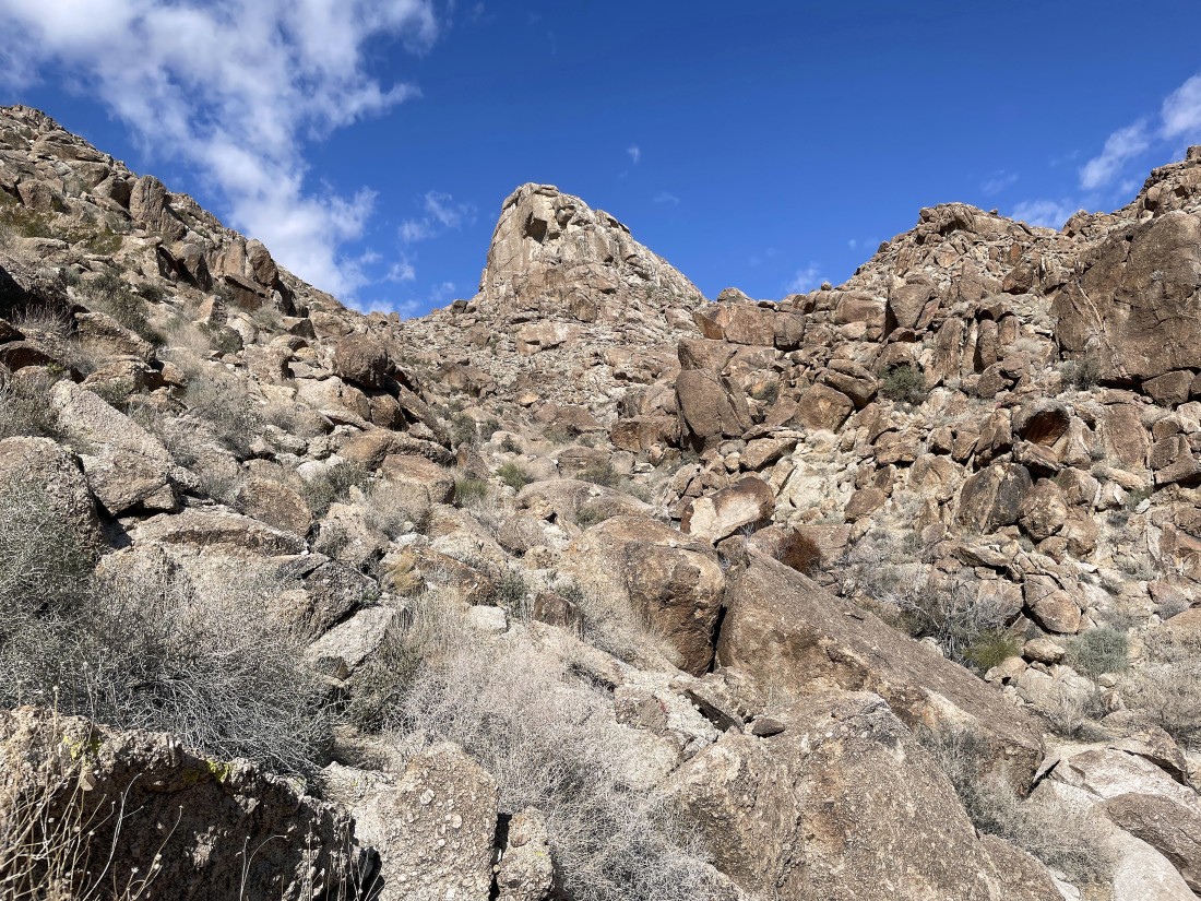
Continuing to gain elevation and reeling in Joshua Mountain.
|
Getting closer to Joshua Mountain.
|
After hiking a total of 1.2 miles I'm on the south side of Joshua Mountain... and no, I will not be going up this side of the mountain.
|
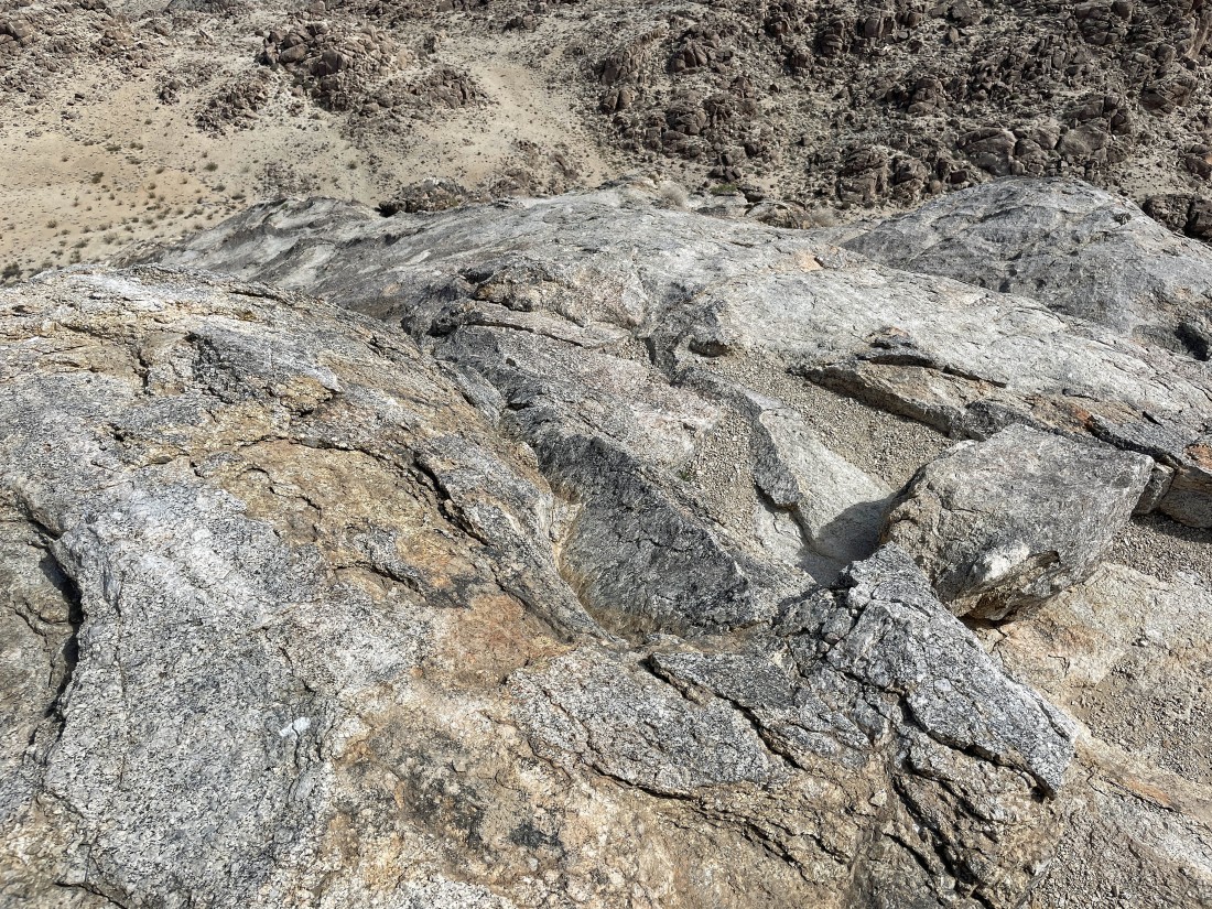
A pano shot from the west side of Joshua Mountain... room for a lot of football fields.
|
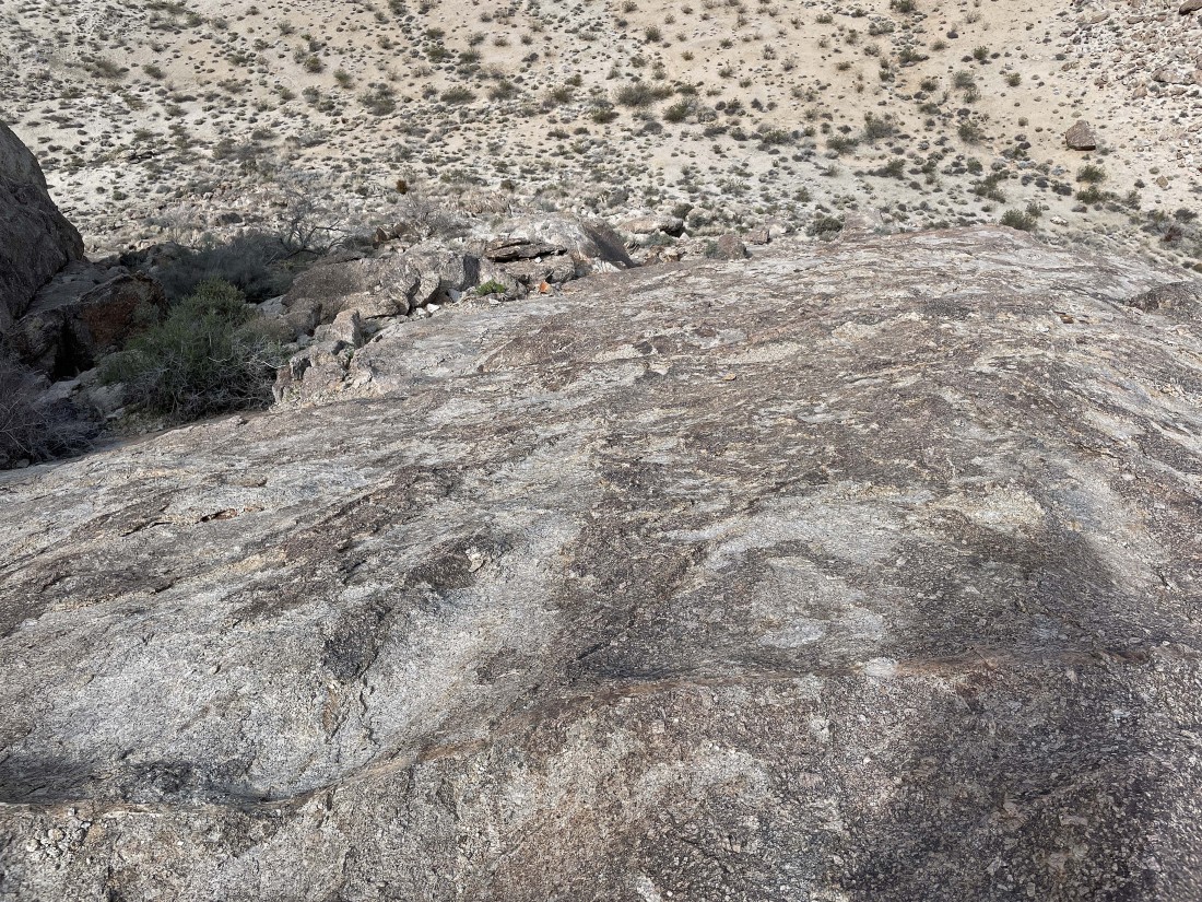
Working my way around to the west side of the mountain... and I have finally found a place where I can start gaining elevation again.
|
Gaining elevation on the west side of Joshua Mountain... here looking north out into Yucca Valley... home of Twentynine Palms and the Marine Corp base.
|
Wrapping around the west side of the mountain... still looking for a place that will get me up to the summit.
|
Continuing to gain elevation on the west side of the mountain... and it looks like I will wrap around to the north side of the peak.
|
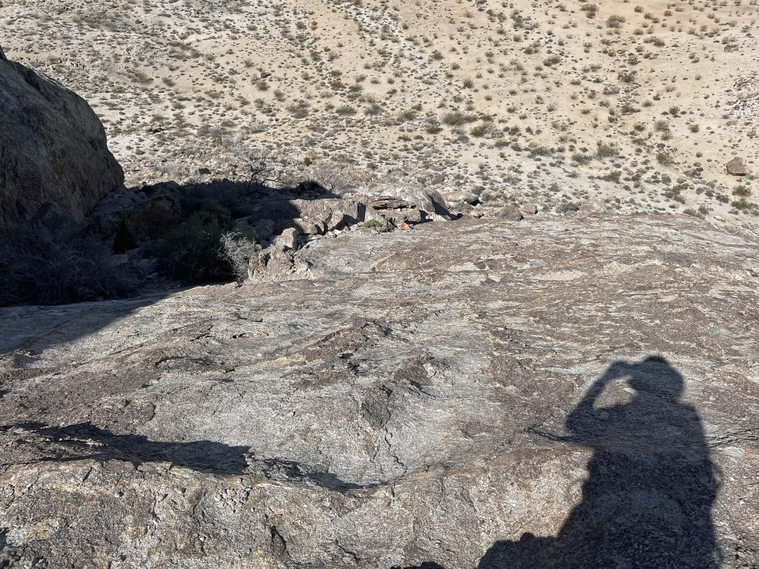
Looking down at the route I used to get up here.
|
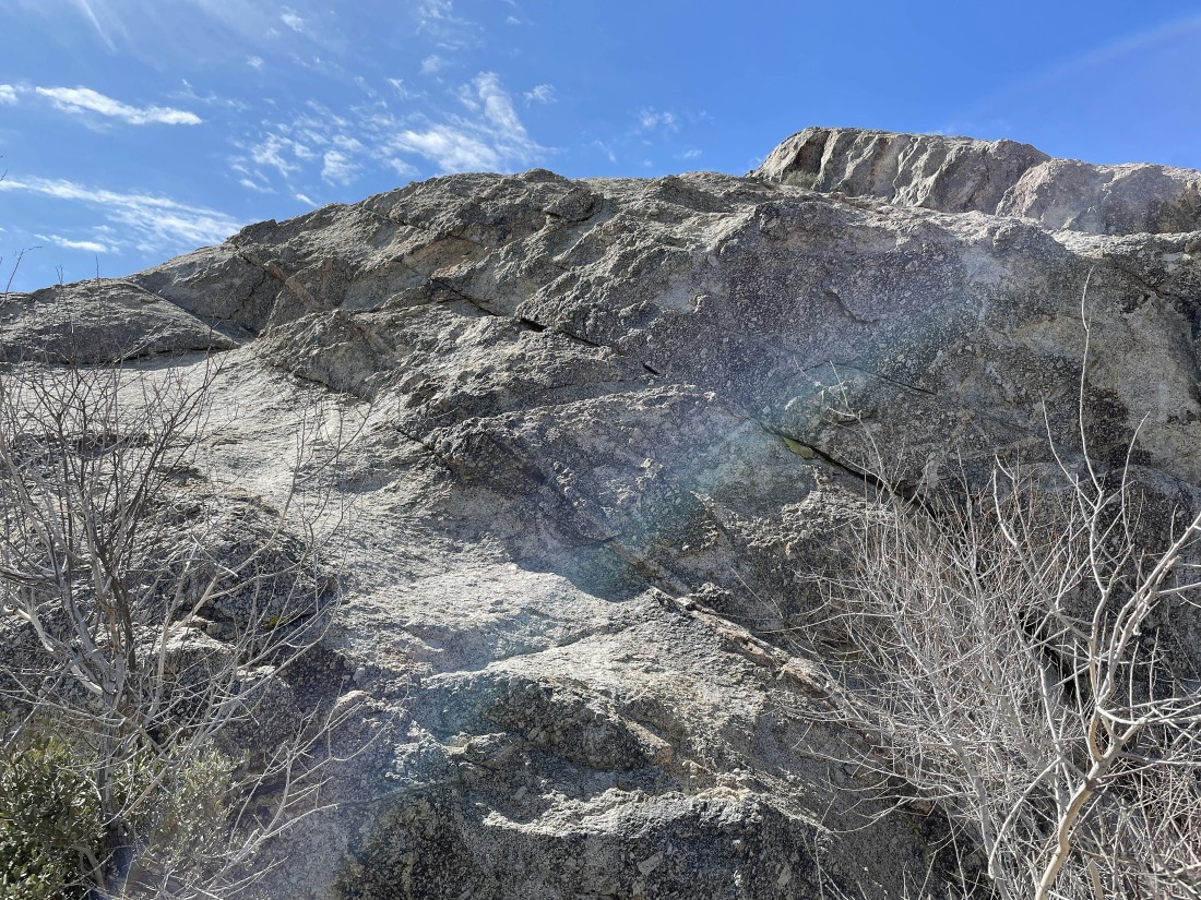
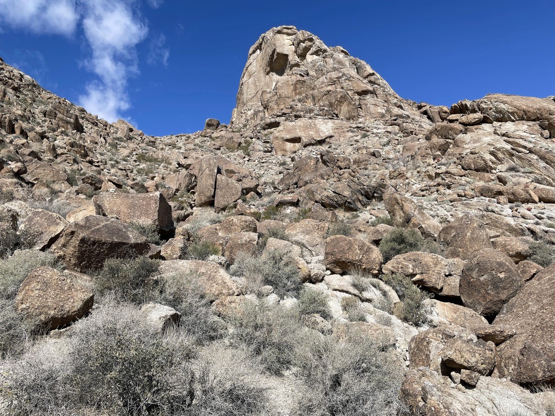
Still working my way around the west side of the mountain... but now I can see the summit block up there.
|
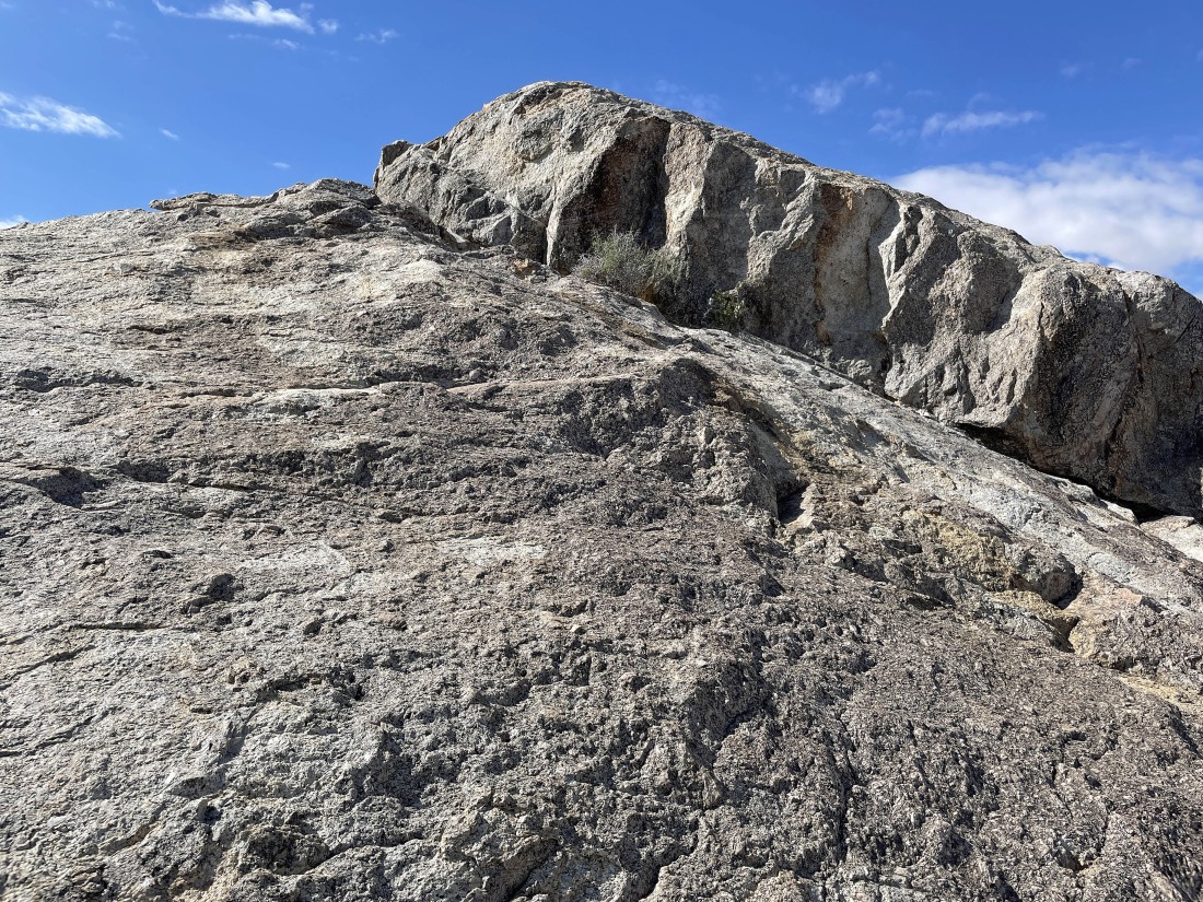
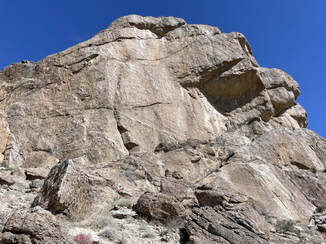
Nearing the summit block... and it looks like there is a convenient rock ramp up there near the summit that will get me on top.
|
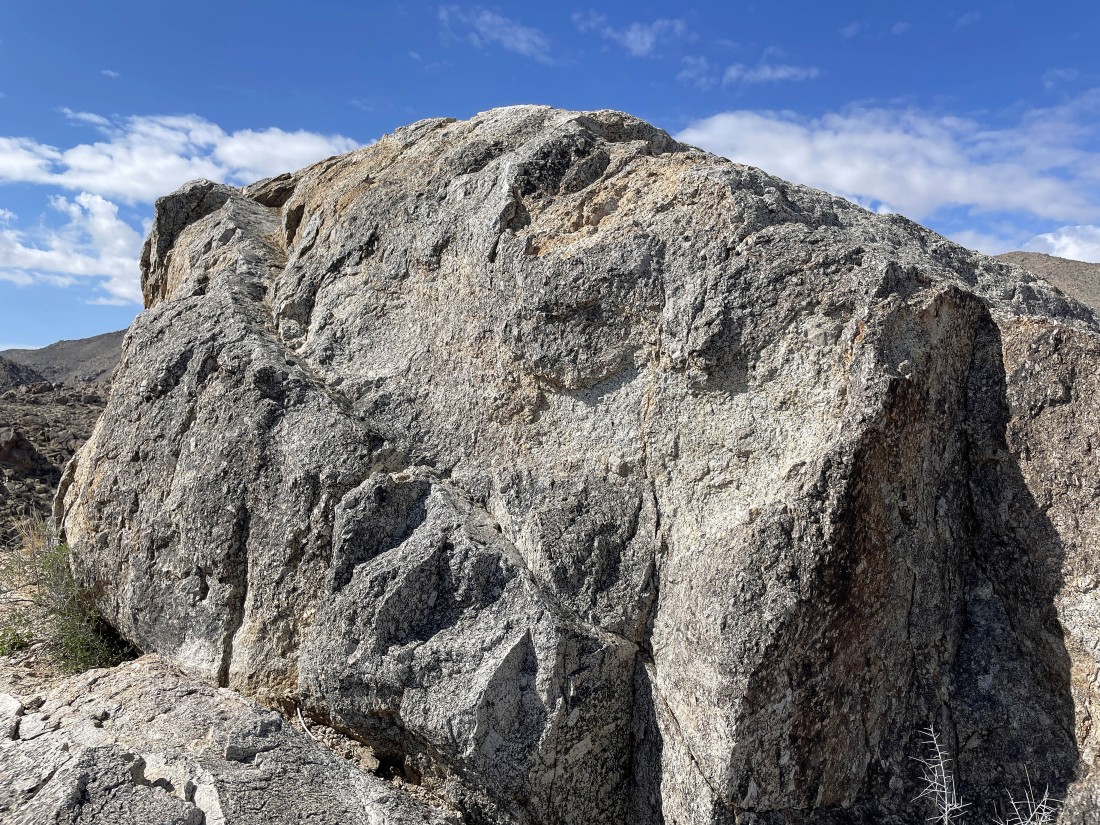
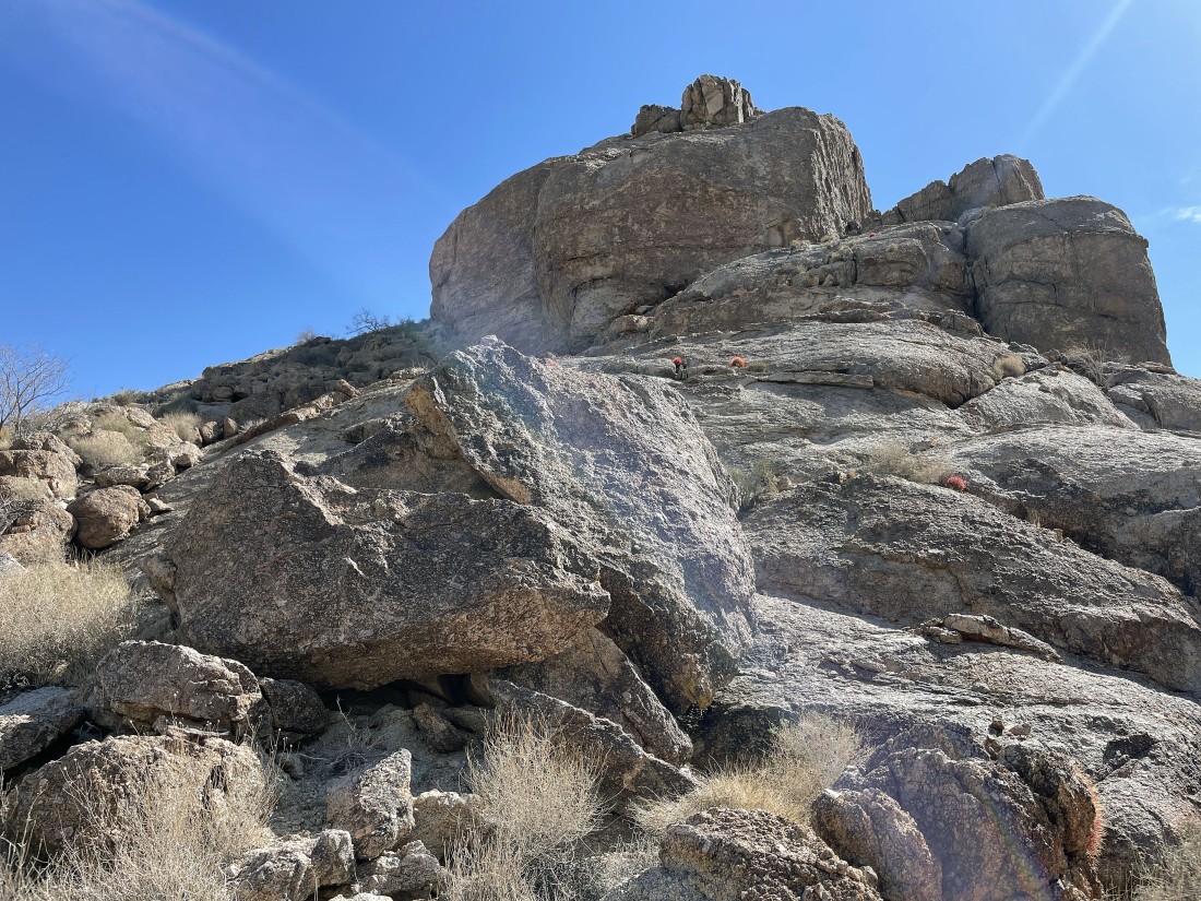
Getting ready to scramble up the rock ramp onto the summit.
|
|
After hiking a total of 1.3 miles I am standing on the summit (3720') of Joshua Mountain... here looking north (center) out into Yucca Valley... and east (right) to Twentynine Palms Mountain and the north section of the Pinto Mountains.
|
On the summit looking south to the foothills that are actually higher than the summit of Joshua Mountain.
|
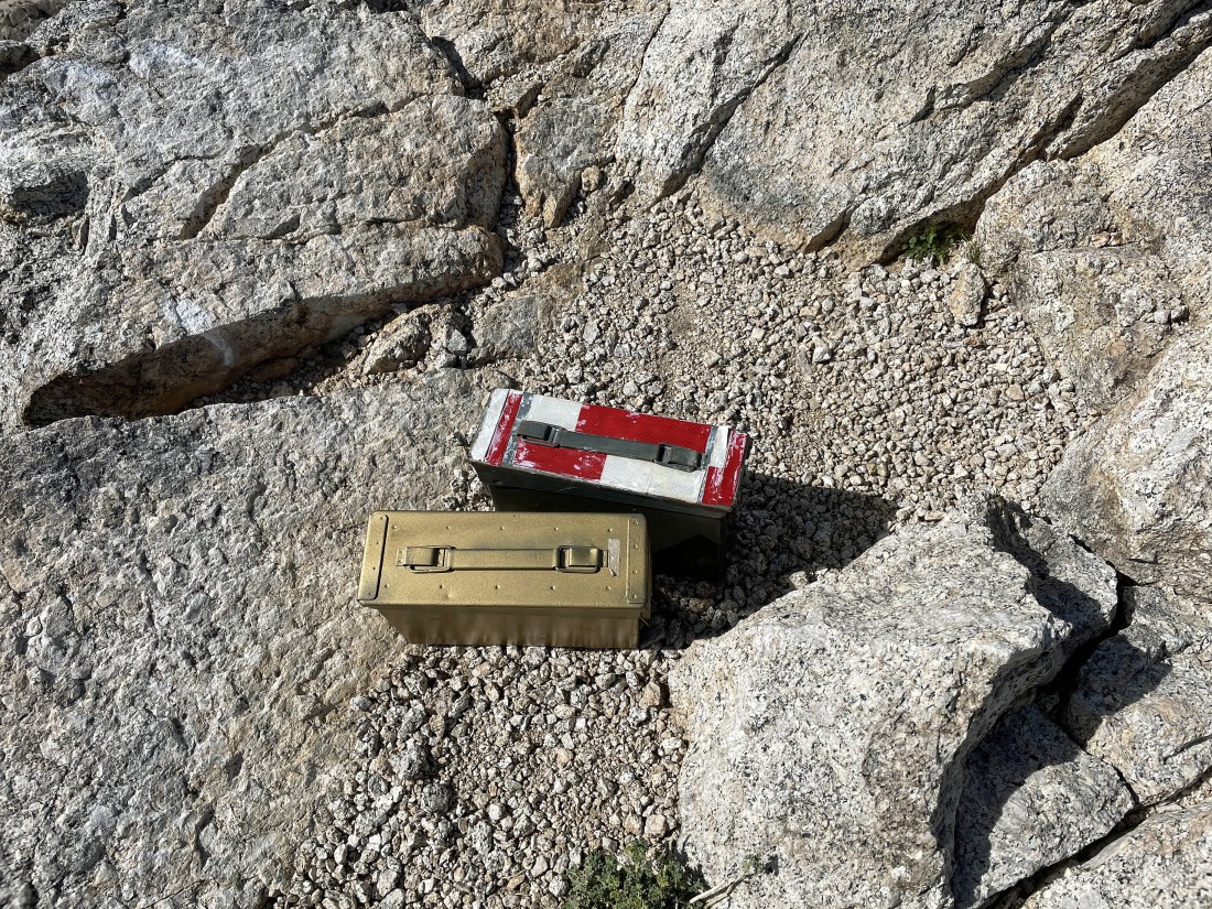
There were two containers on the summit... but the copper colored one did not have anything in it.
|
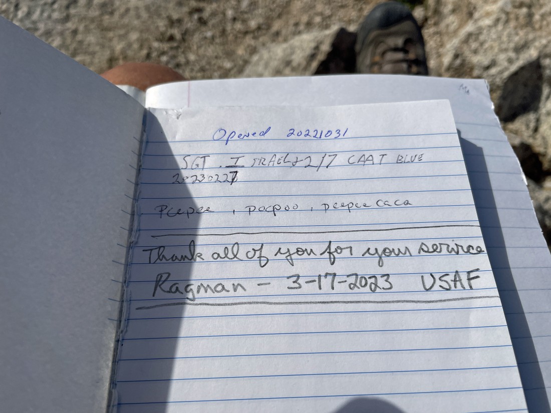
The red and white container had a summit register placed by a marine on October 31, 2022... I'm not a marine, but I signed it anyway.
|
Time to scramble down the rock ramp.
|
Time to head down the west side of Joshua Mountain.
|
Back in the gully... and heading for the desert floor.
|
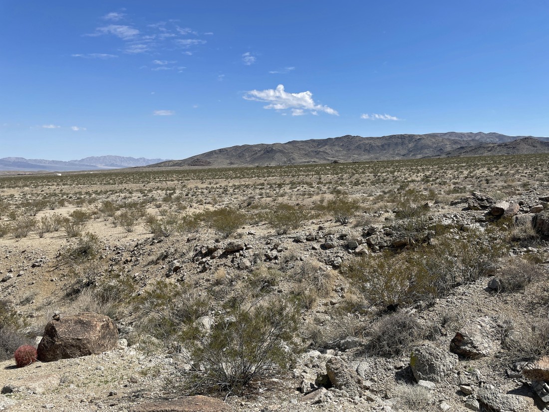
After hiking a total of 2.2 miles I am back on the desert floor.
|
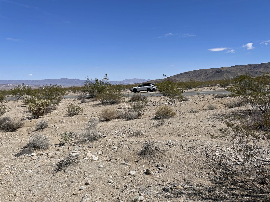
I can see my car... parked on the side of Utah Trail... the total hike was 2.7 miles, gaining 1178 feet of elevation.
|
