Point 3819 and Stirrup Tank - 4.6.2023
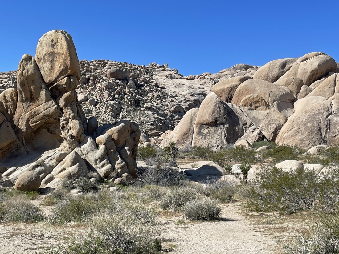
We parked at the end of the dirt Stirrup Tank Road in Joshua Tree National Park... and we will hike up the slabs out there in the center of the photo.
|
A pano shot from where we parked... showing our slab route in the center of the photo.
|
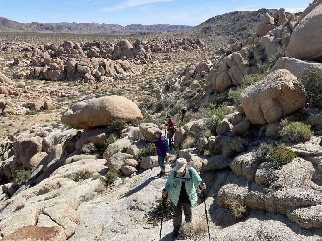
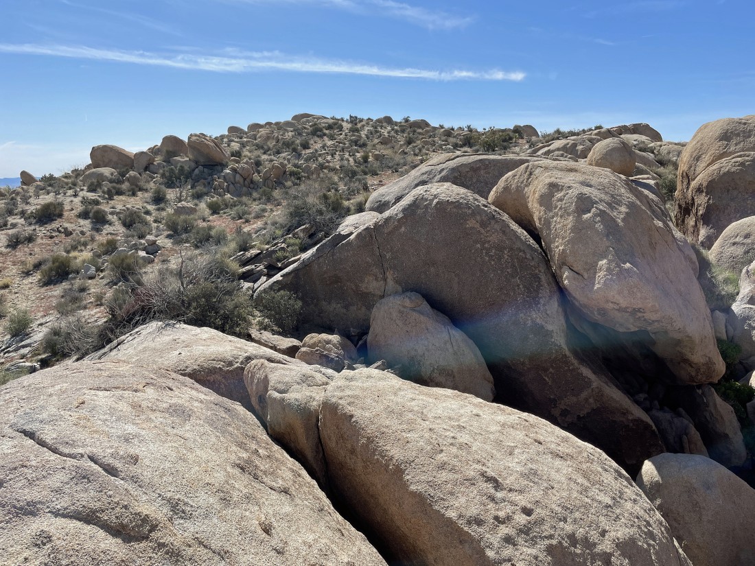
Ascending the slabs with part of the Pinto Mountains on the horizon.
|
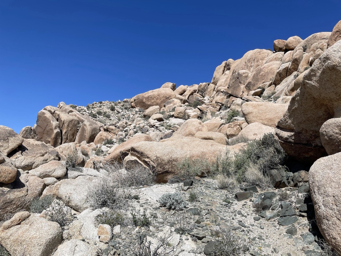
Continuing to ascend the slabs.
|
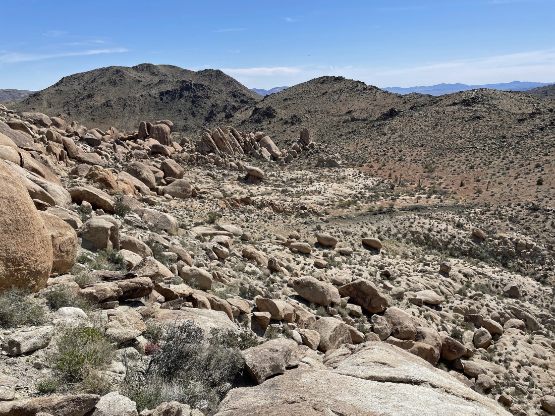
Looking back at the Pinto Mountains as we continue to ascend the slabs.
|
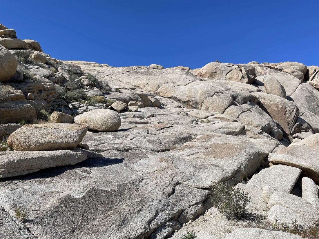
Getting ready to leave the slabs and head on up to Point 3819 on the left horizon.
|
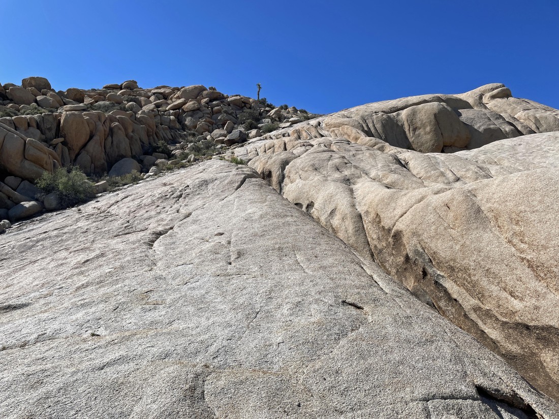
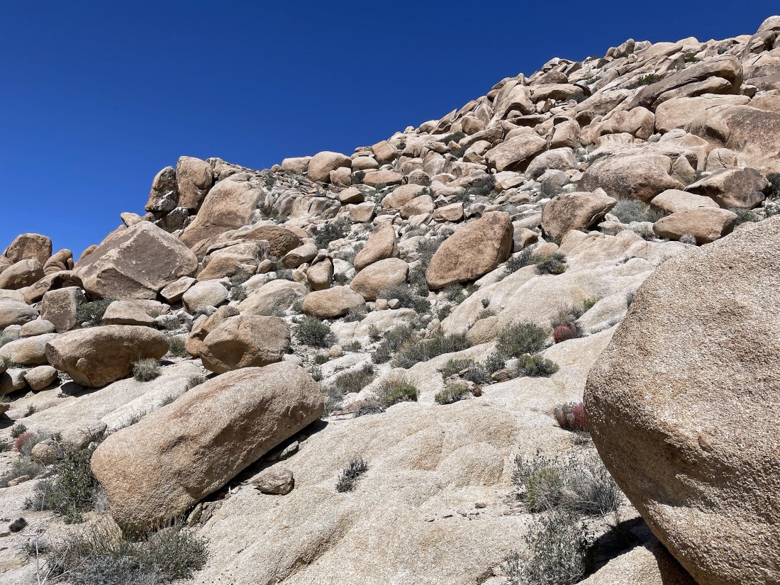
Getting closer to the summit of Point 3819.
|
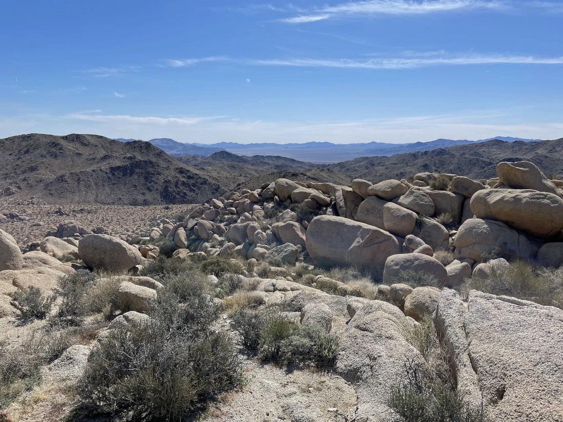
After hiking a half-mile I am standing on the summit of Point 3819... with Pinto Basin way out there in the center of the photo.
|
Looking at the Hexie Mountains from the summit of Point 3819.
|
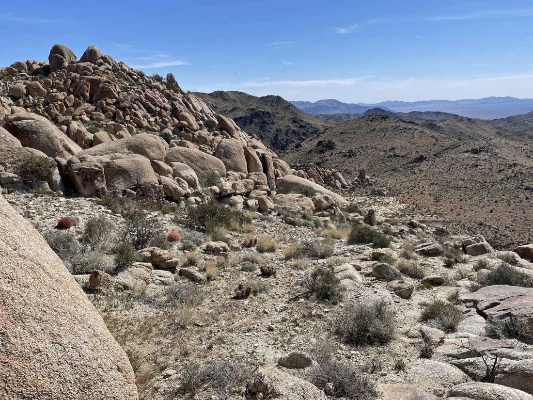
Descending from the summit of Point 3819 on its south side.
|
Descending from the summit of Point 3819 on its south side.
|
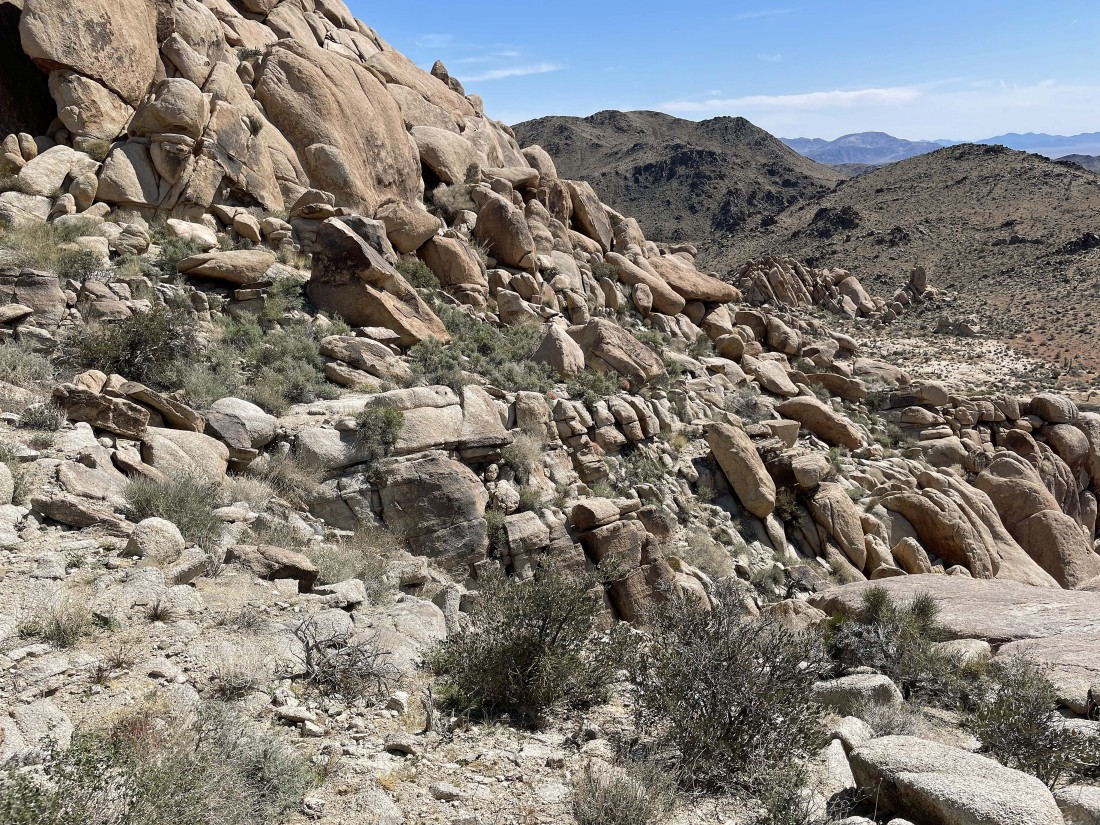
Looking back up at the route I used to descend from Point 3819.
|
Descending from the summit of Point 3819 on its south side.
|
Looking back up at the route I used coming down from Point 3819.
|
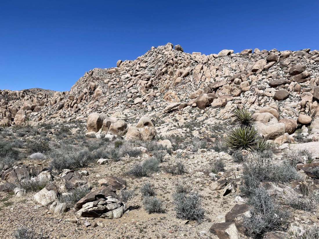
After hiking a total of .8 miles I have found some flatish terrain.
|
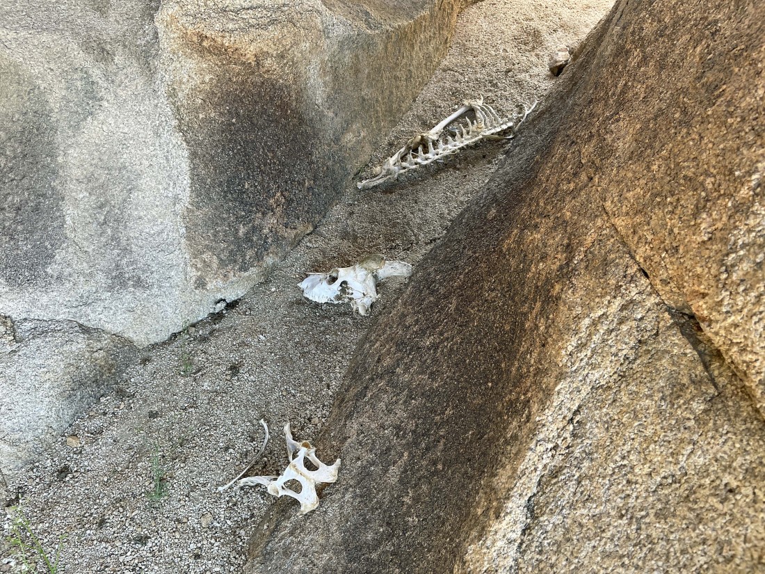
Not sure whose bones these are.
|
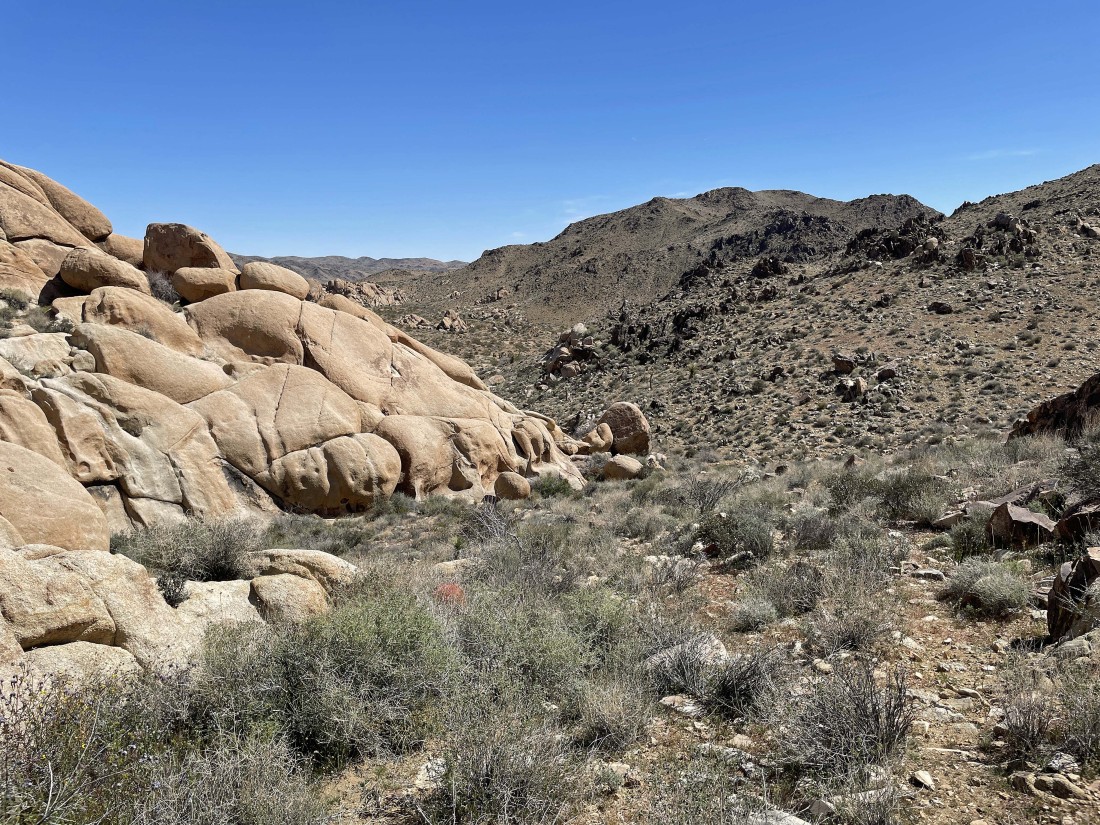
Looking back at Point 3819 and the ramp route I used to come down from it in the left center of the photo.
|
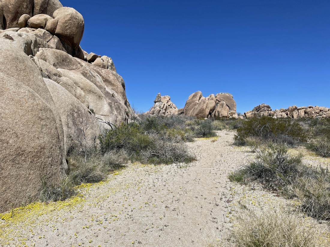
I will hike around these massive rock formations to get back to the car.
|
Heading for the car.
|
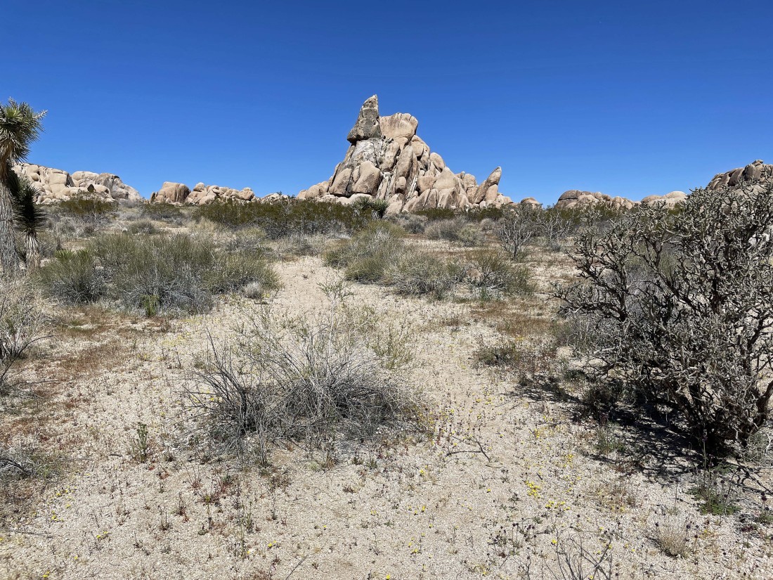
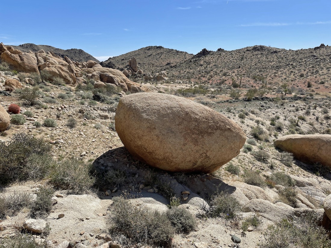
That triangular rock out there in the center of the photo is referred to as 'Stirrup Rock' by some folks... and it is located very close to the car... the hike was a total of 1.5 miles, gaining 401 feet of elevation.
|
