Iron Peak - 6.26.2023
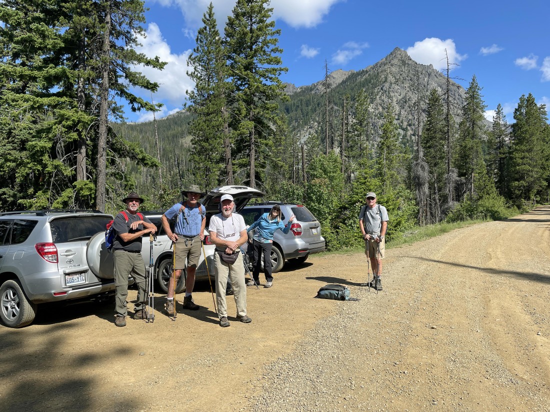
We drove Forest Service Road 9737 8.5 miles from Twentynine Pines Campground and parked at 4100 feet on the side of the road at the trailhead for Iron Peak Trail #1399... with the east summits of Esmeralda Peak in the distance... another mile beyond where we parked will take you to the end of FS 9737 and the trailhead for Esmeralda Basin.
|
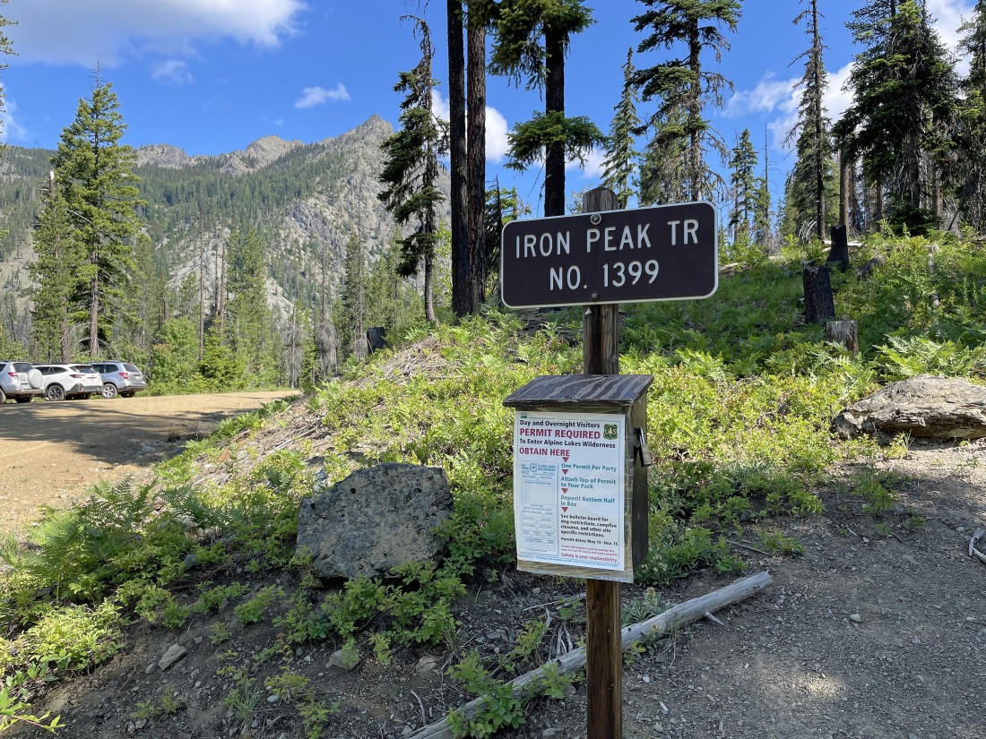
The trailhead for Iron Peak is across the road from where we parked
|
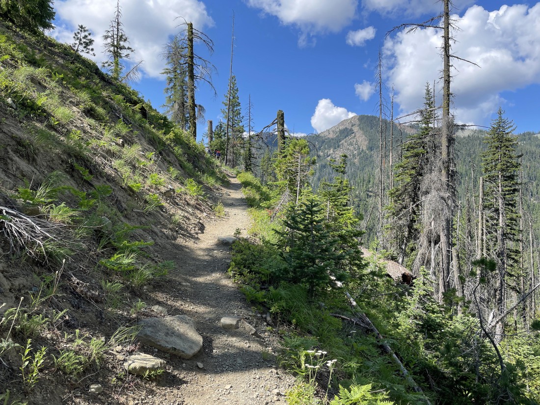
This trail gains elevation from the get-go... and it didn't take us long to get a good view of Koppen Mountain on the other side of the valley.
|
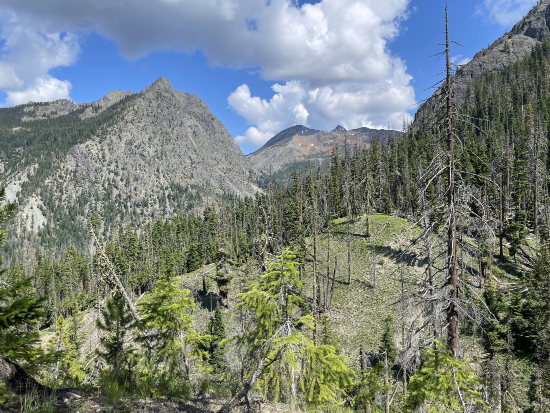
Continuing to gain elevation on the Iron Peak Trail... here looking up the North Fork Teanaway River drainage at the multiple summits of Esmeralda Peak on the left... with Fortune Peak and South Ingalls on the horizon in the center of the photo.
|
After hiking 2.8 miles we have reached Eldorado Pass at 6150 feet... we would go left (north) if we were going to do Teanaway Peak, but we will go to the right (south) and do the half-mile hike out to the summit of Iron Peak. We are looking down the Beverly Creek drainage in the middle of the photo... Bills Peak is the mountain in the left-center foreground of the photo... with Navaho Peak, Volcanic Neck, Bean Peak, Earl Peak, Marys Peak and Judis Peak on the horizon in the center of the photo.
|
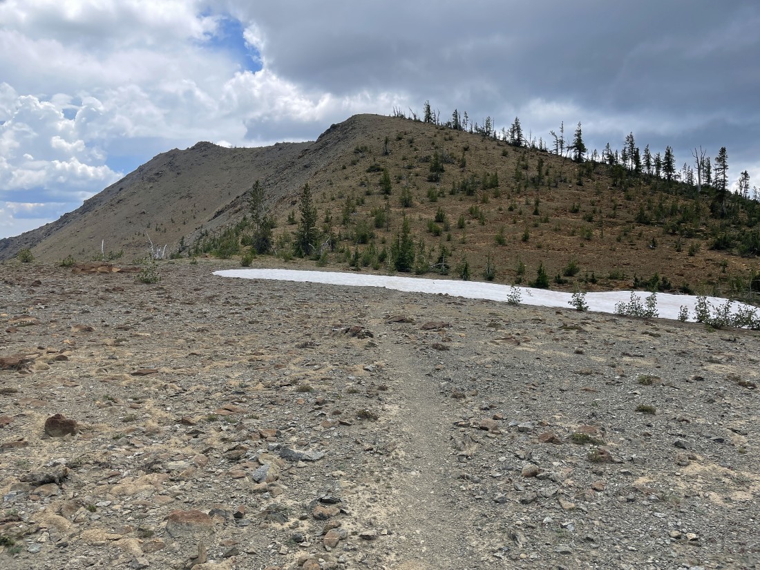
Heading south for the summit of Iron Peak up there on the far left in this photo.
|
Continuing to gain elevation on the Iron Peak Trail... looking back at Teanaway Peak on the left... Bills Peak in the center... with the Stuart Range barely visible on the horizon.
|
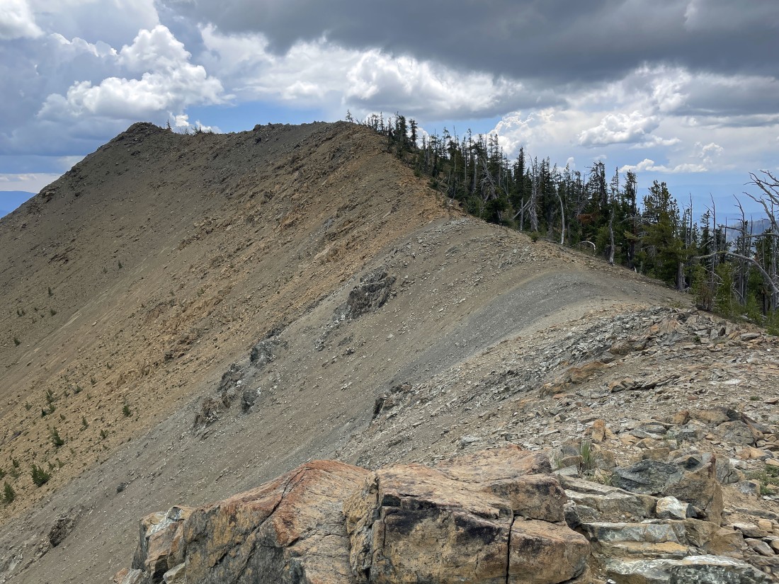
Getting closer to the summit of Iron Peak as the weather is deteriorating.
|
Every step higher gives a better view of the Stuart Range (home of the Enchantments) on the horizon.
|
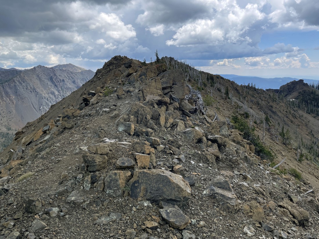
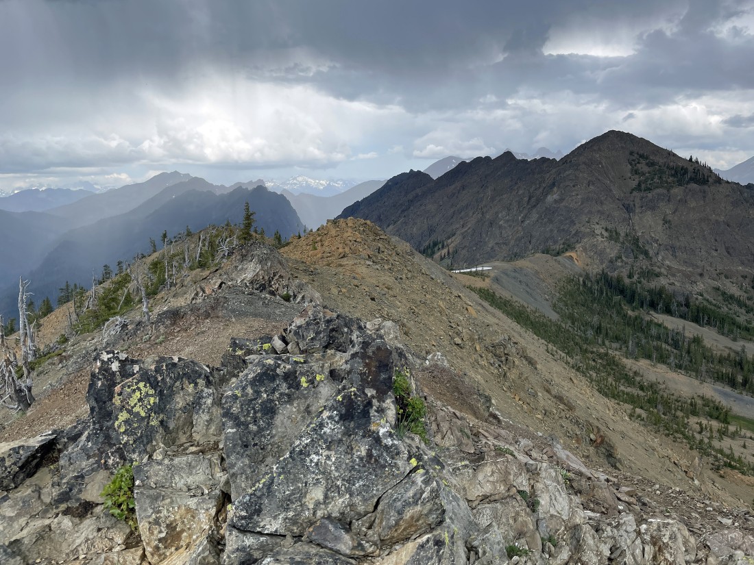
Continuing to reel in the summit of Iron Peak... with Marys Peak, Earl Peak and Judis Peak on the left horizon.
|
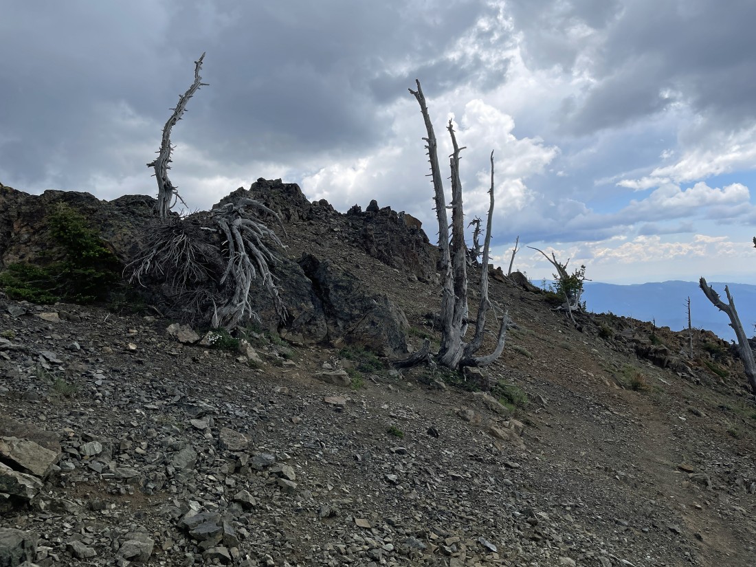
Nearing the Iron Peak summit... thunder, lightning and rain... the second time I have encountered rain in roughly 200 hikes in the Teanaway!
|
After hiking 3.4 miles I am standing on the 6510 foot summit of Iron Peak... here looking NW (left) to NE (right)... with Teanaway Peak and Bills Peak in the center foreground... with the Esmeralda Peaks and Hawkins Mountain in the left center of the photo.
|
A closer look at the Esmeralda Peaks and Hawkins Mountain on the left and Teanaway Peak on the right... with Mount Daniel in the sunshine on the horizon in the center of the photo... look closely and you will see Fortune Peak and the three summits of Ingalls Peak behind Teanaway Peak on the right.
|
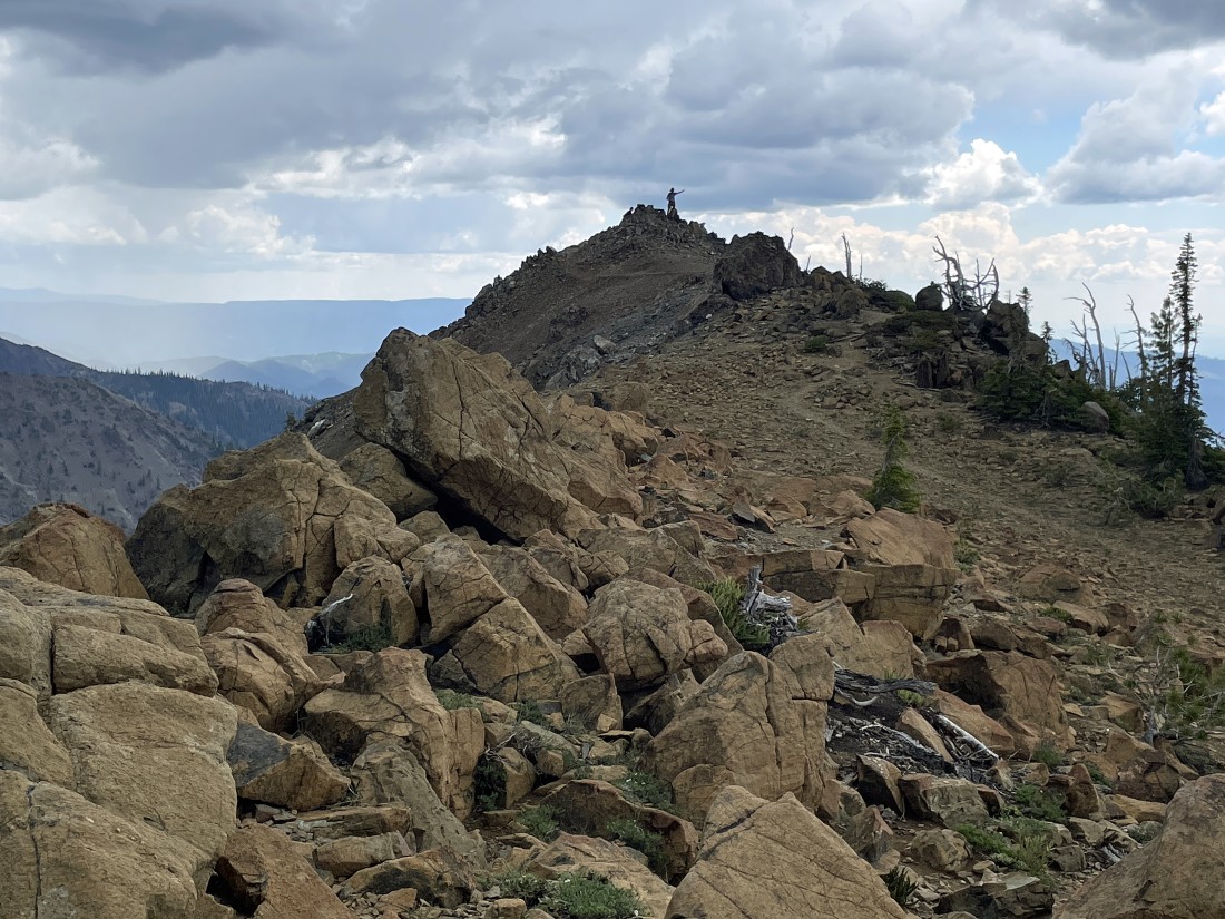
I'm heading down from the Iron Peak summit now... here looking back at Bruce and Frank hanging out on the summit... the good news is that it quit raining when we got back down to Eldorado Pass... the total hike was 6.8 miles, gaining 2532 feet of elevation.
|
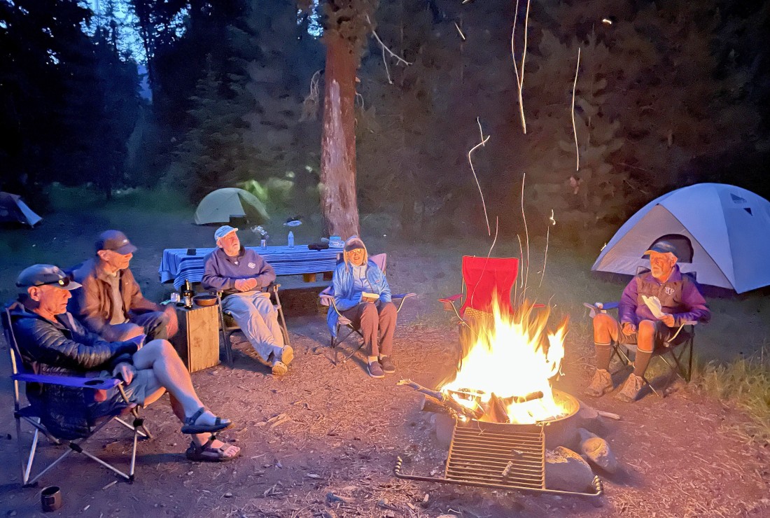
BarbE took this photo of us camping in the Beverly Creek Campground... left to right... Middle E, tomman, rocman, Denali Girl, BarbE's red chair and me (ragman)... rocman provided the city wood and tomman provided the forest wood.
|
