Green Lakes - 7.10.2023
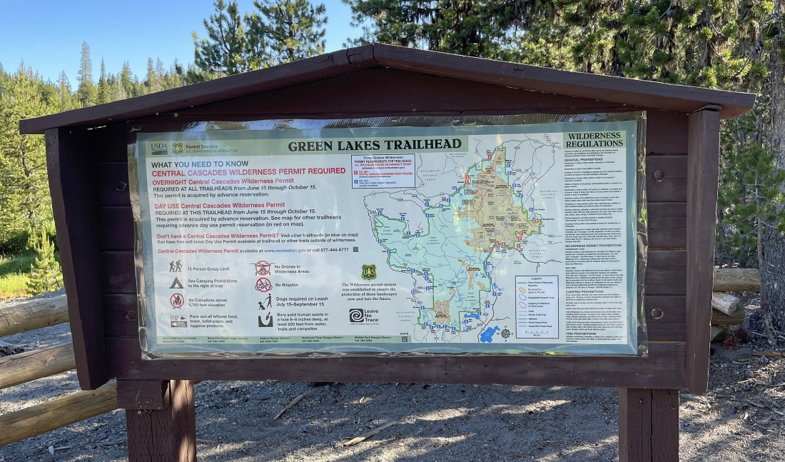
We started this hike from the Green Lakes Trailhead in the Three Sisters Wilderness in Central Oregon... and the trail is named Green Lakes Trail #17.
|
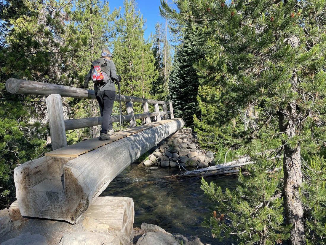
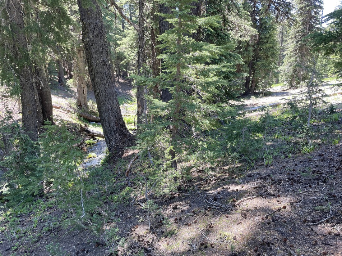
Less than a quarter mile from the trailhead a bridge took us across Fall Creek... and the trail pretty much follows Fall Creek all the way to Green Lakes.
|
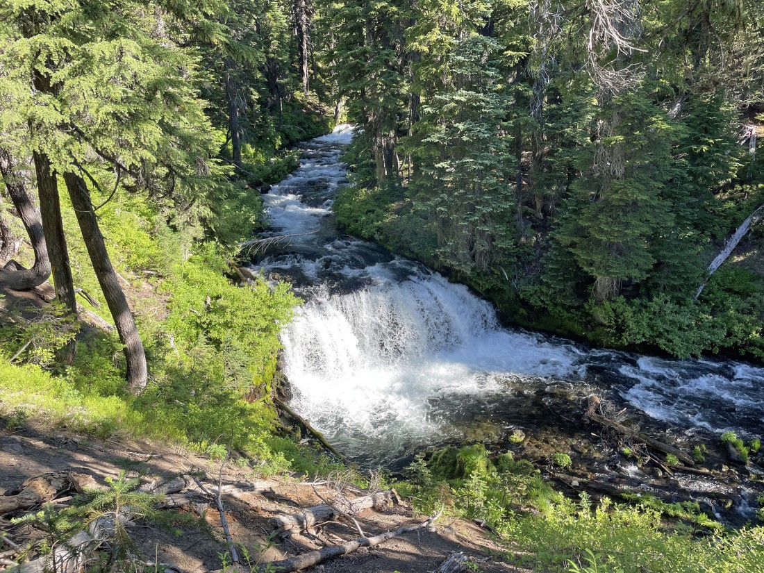
There is a reason the creek is named Fall Creek.
|
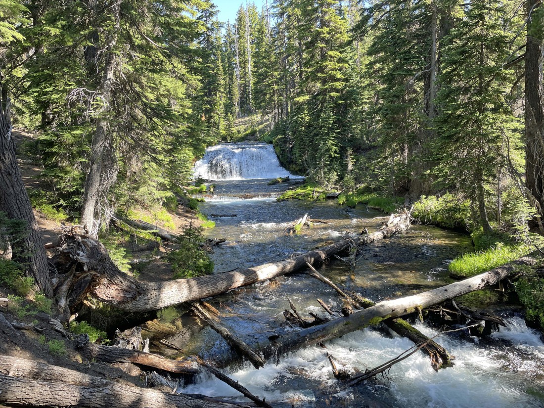
Continuing to hike on Green Lakes Trail #17... following along next to Fall Creek.
|
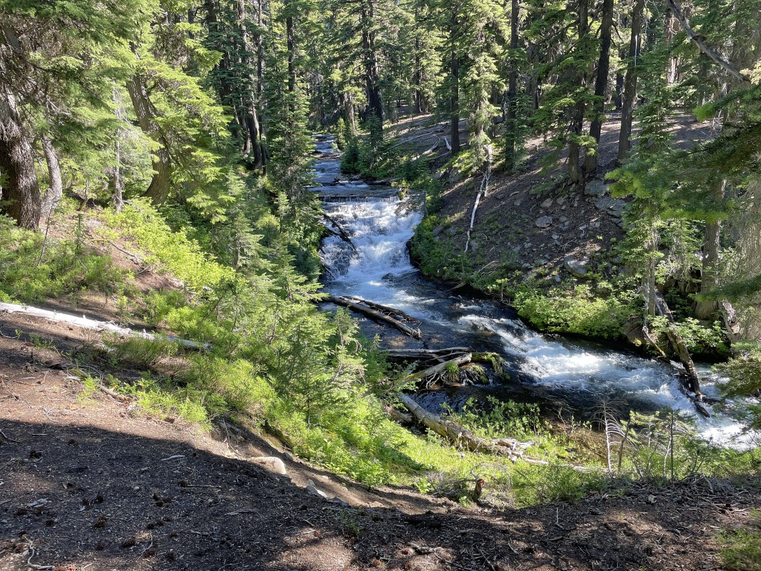
Personally I would have named the creek 'Falls Creek' instead of 'Fall Creek'.
|
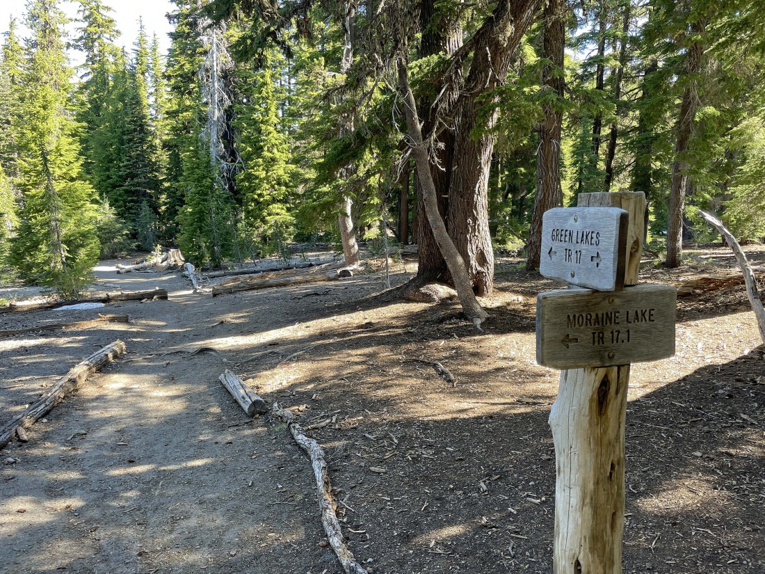
After hiking a total of 2.2 miles we arrived at the junction with Moraine Lake Trail #17.1... however, we will continue hiking on the Green Lakes Trail.
|
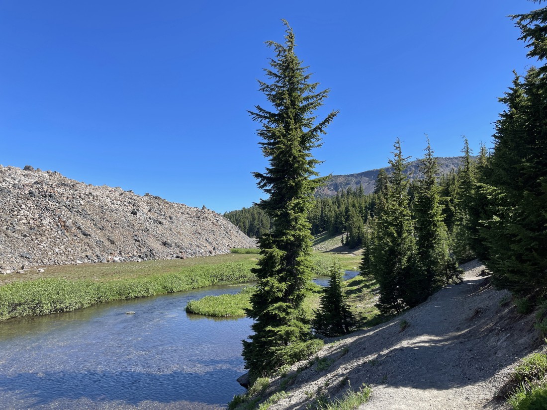
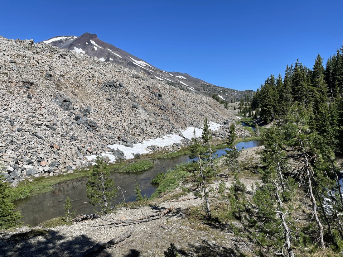
After hiking a total of 3.3 miles we found the east side of a huge lava flow... which the creek and trail follow for another 1.5 miles to Green Lakes.
|
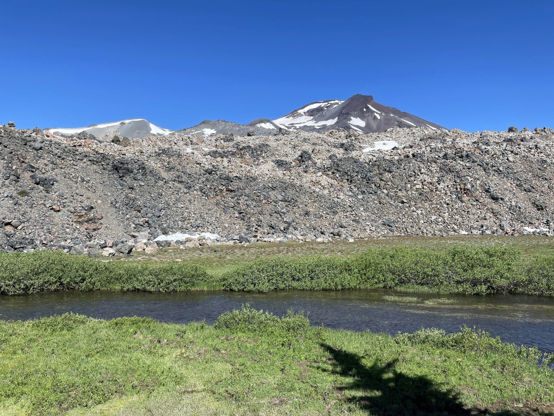
Continuing to hike on the Green Lakes Trail... here looking across Fall Creek and beyond the lava flow to South Sister. The reddish brown formation up in front of the South Sister summit is Hodge Crest.
|
Continuing to hike on the Green Lakes Trail... almost past the lava flow.
|
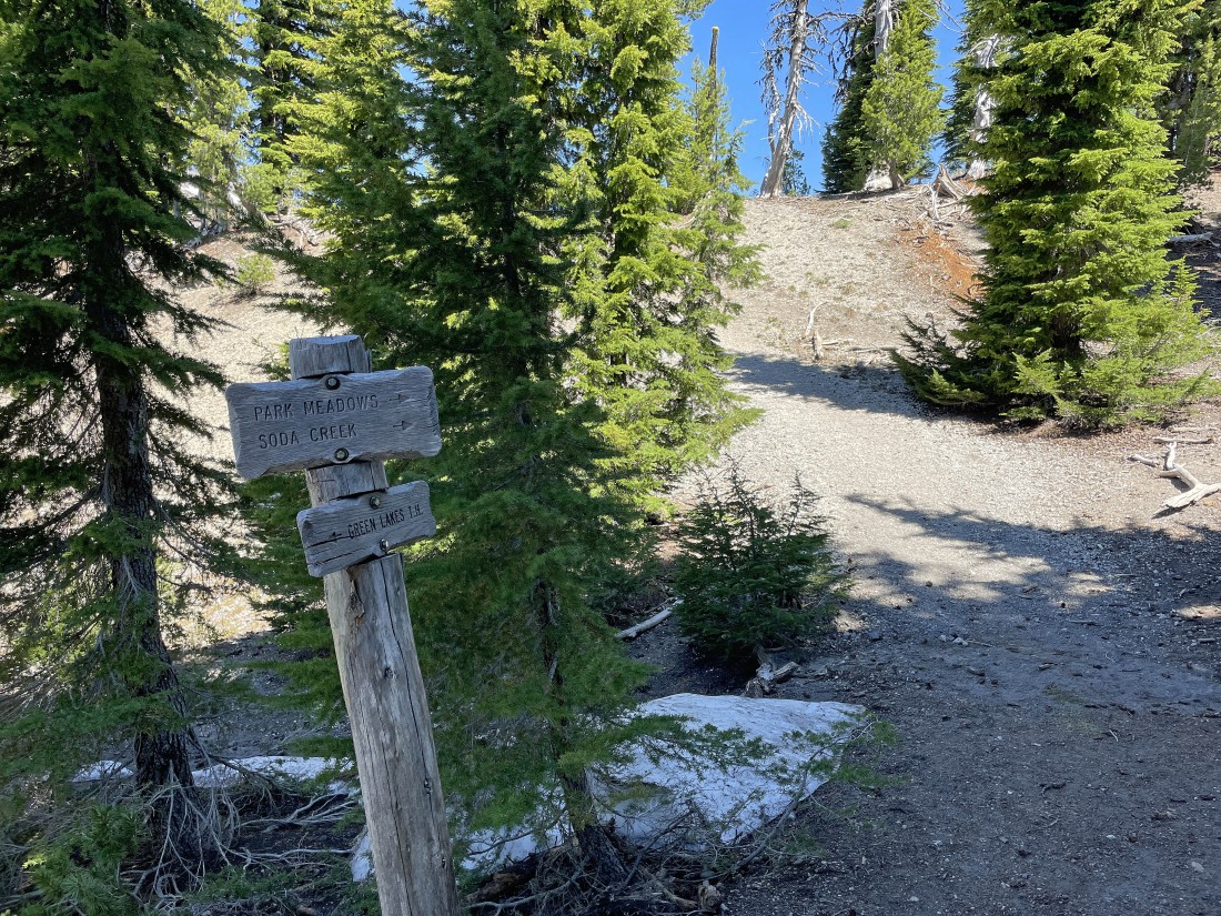
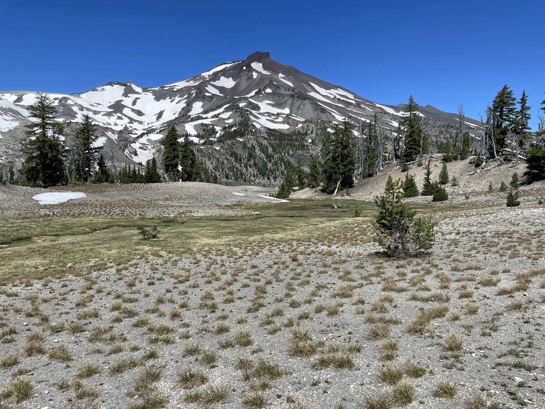
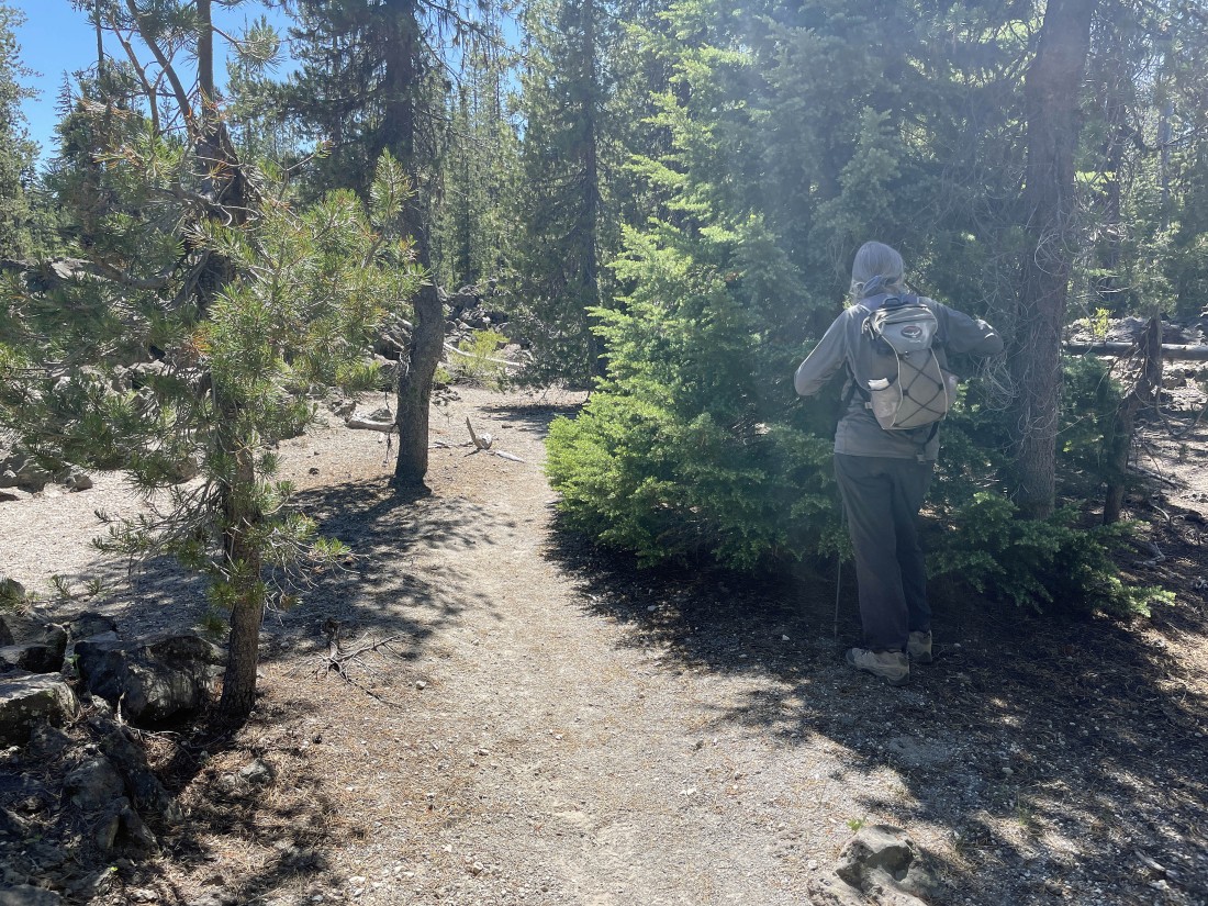
After hiking a total of 4.5 miles we have reached a junction with the trail that will take a person to Park Meadows and Soda Creek... this trail also takes a person to the Broken Top Trail #10 which we will use to help get us back to our car... but for now we will continue another .4 miles to Green Lakes.
|
Out there in the distance we can see two little pieces of the largest of the three Green Lakes.
|
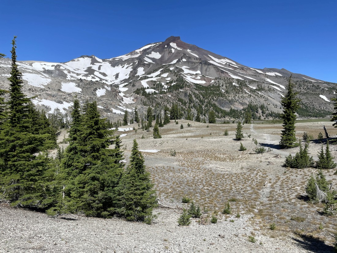
South Sister as we near the largest of the three Green Lakes.
|
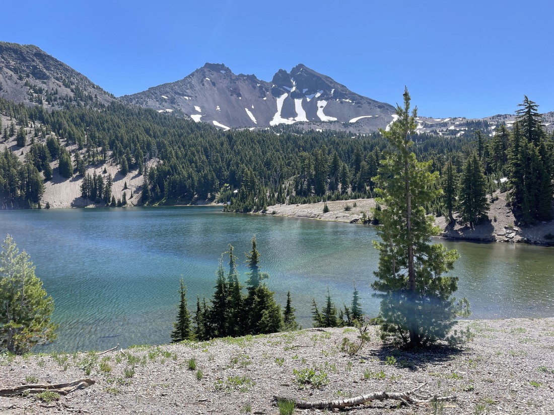
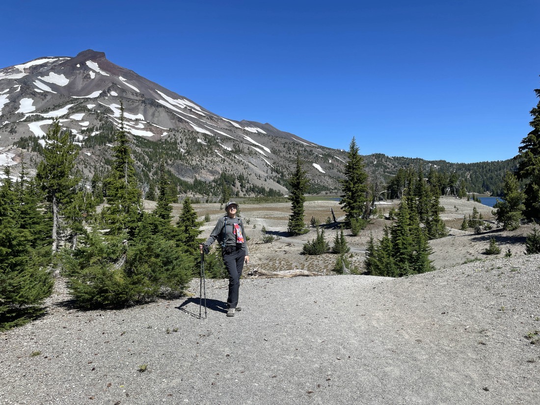
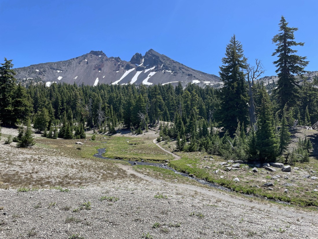
After hiking a total of 4.9 miles we have reached the largest of the three Green Lakes... with Broken Top on the horizon.
|
Looking across the largest of the three Green Lakes to South Sister.
|
Now hiking east along the southern shoreline of the largest Green Lake... looking for a good place to leave the shoreline and head over to the second largest of the three Green Lakes.
|
Looking back at South Sister after having left the southern shoreline of the largest Green Lake... now looking for the second largest Green Lake.
|
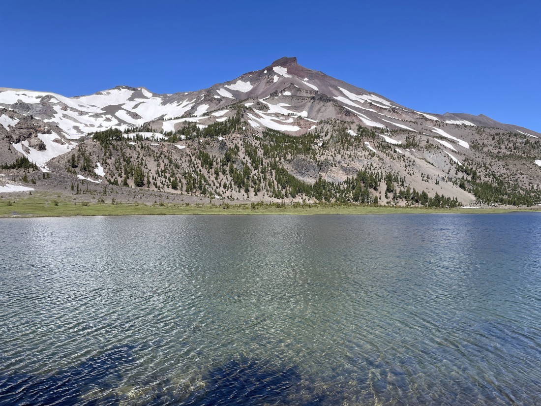
After hiking south for two-tenths of a mile from the largest Green Lake we have reached the second largest Green Lake... with Broken Top on the horizon.
|
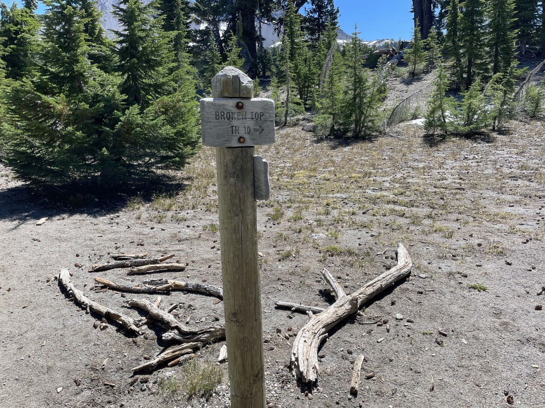
Continuing to hike south a tenth of a mile from the second largest Green Lake we have found the junction for Broken Top Trail #10... a trail that we will follow for 2.8 miles before heading cross country for the Soda Creek Trail.
|
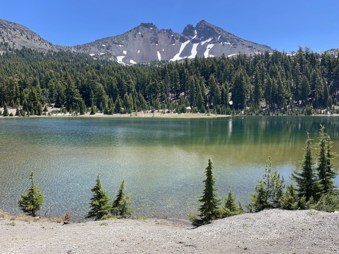
Now hiking on Broken Top Trail #10... here looking back at the second largest Green Lake in the foreground... with a small section of the largest Green Lake beyond.
|
Now hiking east and south on Broken Top Trail #10... with Broken Top on the horizon.
|
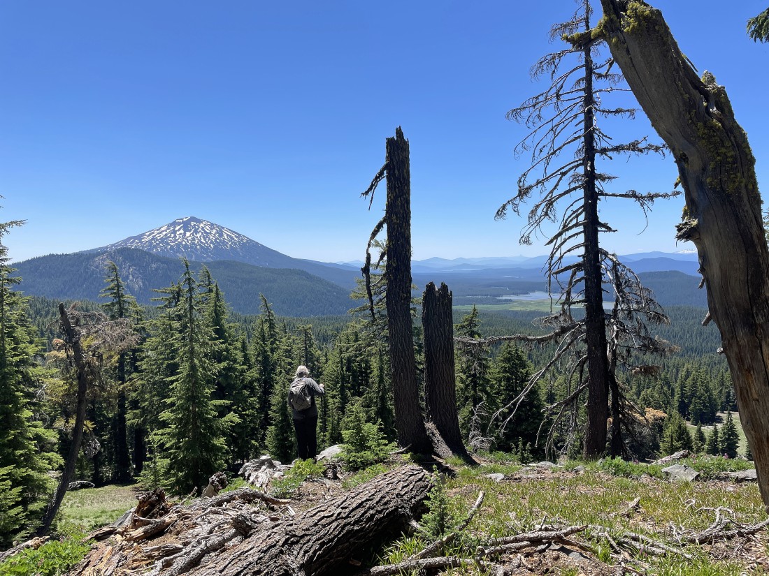
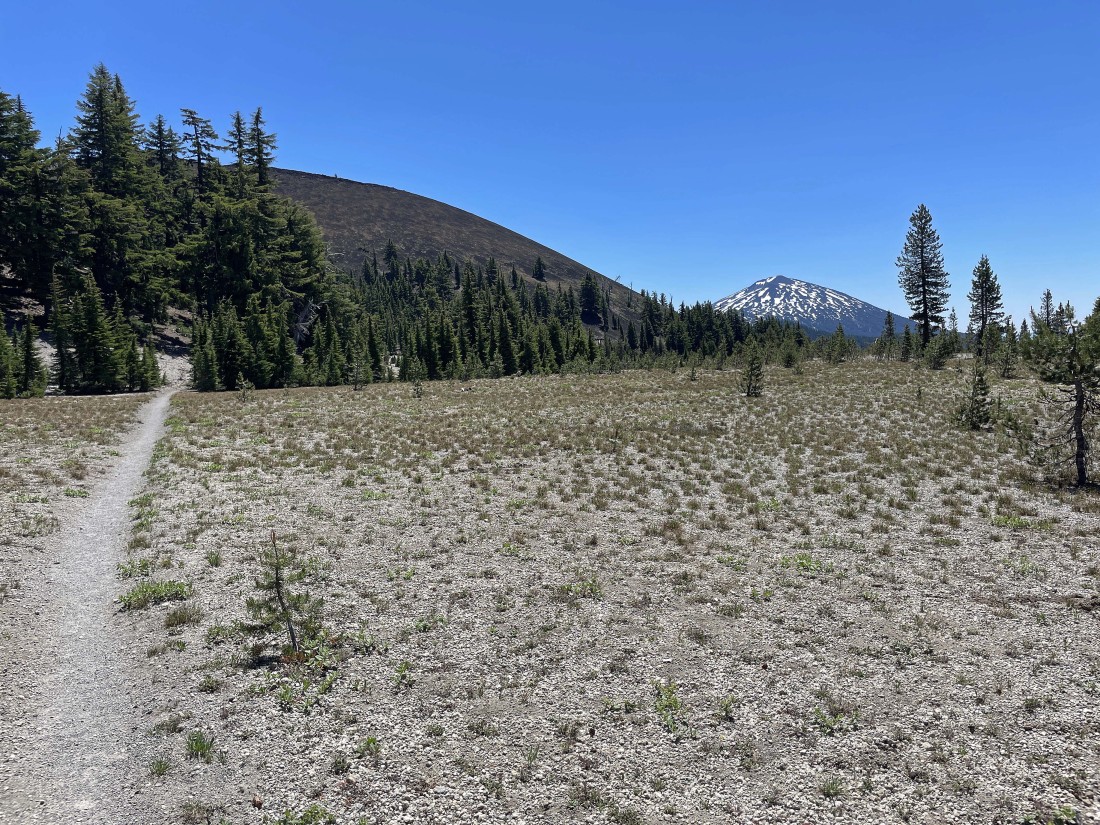
After hiking for a total of 6.9 miles we can see Mount Bachelor on the left... with Sparks Lake on the right.
|
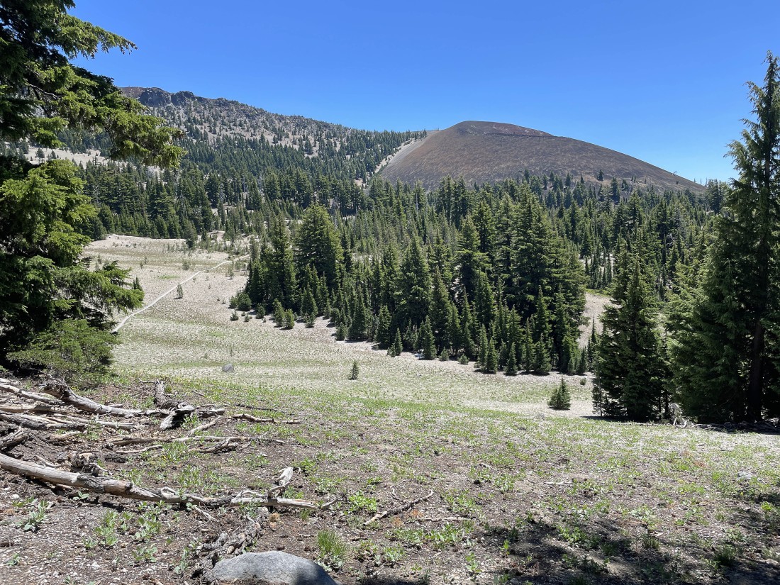
Broken Top Trail #10 will take us over to and around Cayuse Crater in the distance on the right.
|
Continuing to hike on Broken Top Trail #10... with Cayuse Crater on the far right. This pretty much shows the ridge route that leads from Cayuse Crater to the 9,094 foot south summit of Broken Top on the far left.
|
Nearing the west side of Cayuse Crater... with Mount Bachelor in the distance on the right.
|
After hiking a total of 8.2 miles (2.8 miles on Broken Top Trail #10) we are at the south side of Cayuse Crater and it is time to leave Broken Top Trail #10 and head down into the forest and find Soda Creek Trail #11... with Tumalo Mountain in the distance on the left horizon... Mount Bachelor in the middle of the photo... and Sparks Lake on the right.
|
Denali Girl has left Broken Top Trail #10 and is coming down to join me as we enter the forest in search of Soda Creek Trail #11.
|
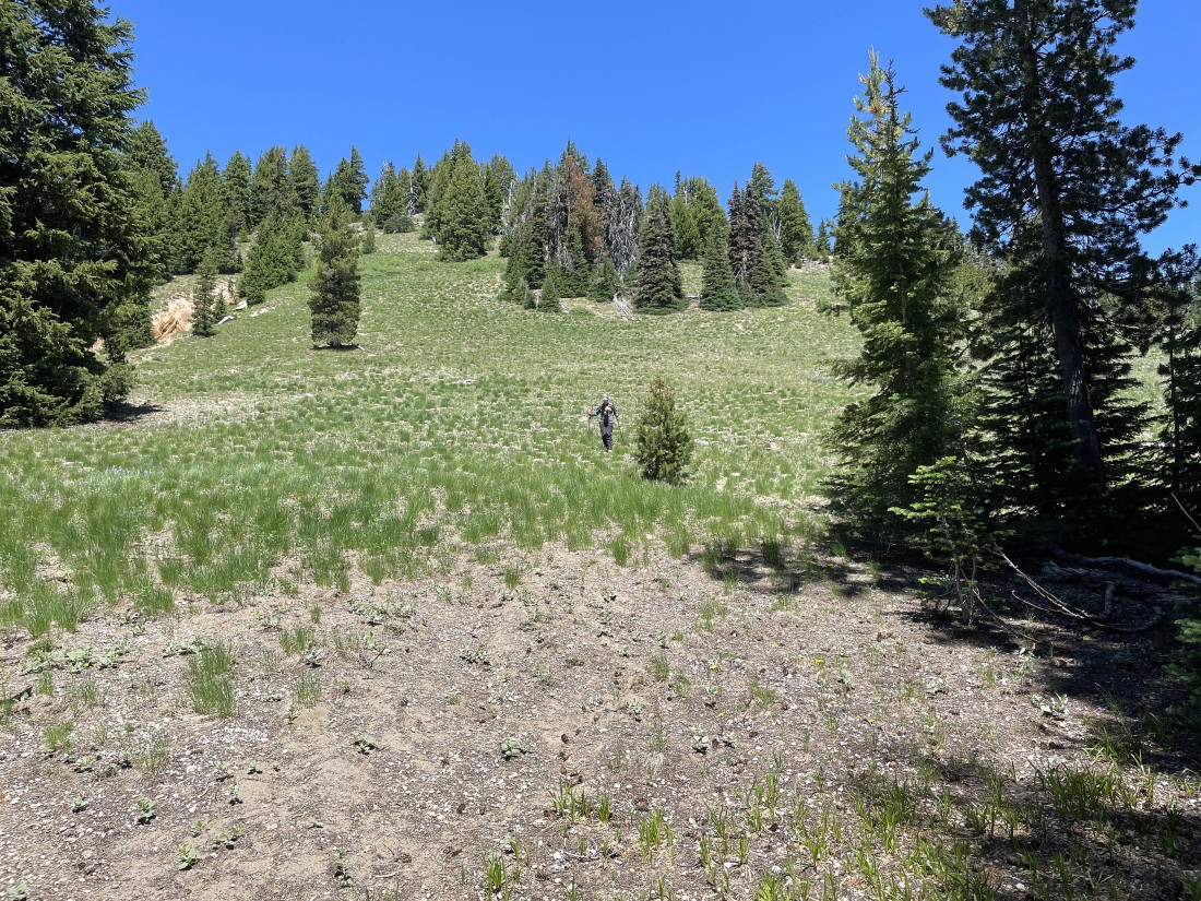
The two mile cross country hike in the forest was pretty much like this... all down hill, but not dense forest... however, you still needed to be careful where you stepped.
|
After hiking a total of 10.1 miles (2 miles cross country in the forest) we have found Soda Creek Trail #11 and we are looking forward to an easy 1.5 mile hike to our car.
|
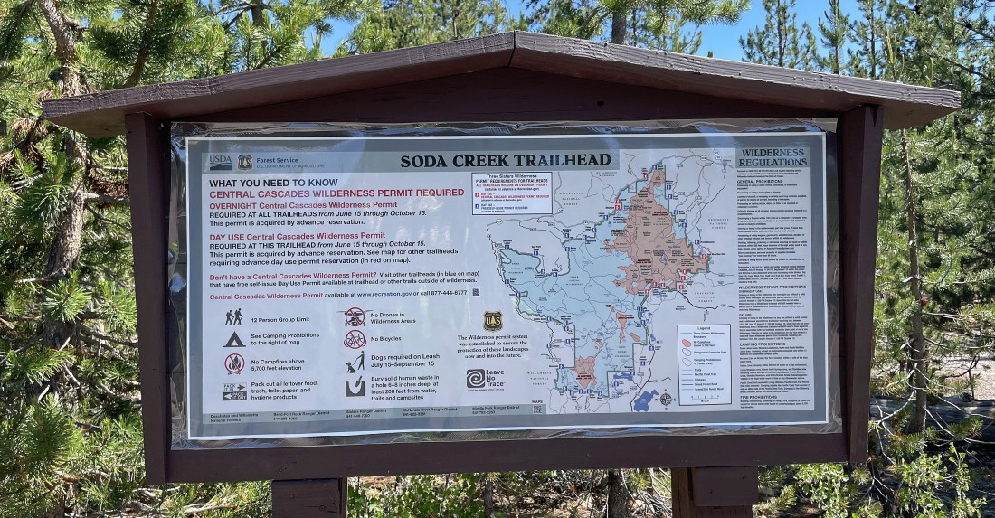
After hiking a total of 11.6 miles and gaining 1646 feet of elevation we have arrived at the trailhead for Soda Creek Trail #11... a parking area that is shared with where we started the day on Green Lakes Trail #17.
|
After the hike we made a short drive to Sparks Lake... where we had this view of South Sister and Broken Top as we celebrated the day's adventure with a cold beverage!
|
