Broken Hand - 8.8.2023
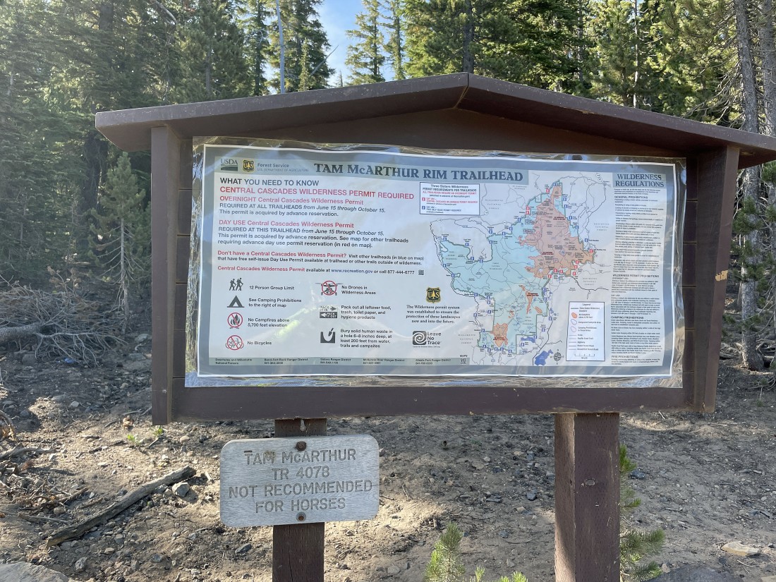
We parked at the Tam McArthur Rim Trailhead... located next to the road at Three Creek Lake... located approximately 14 miles from the town of Sisters in Central Oregon.
|
After hiking a short distance we got this nice view of Three Creek Lake... with our first destination being Point 7732 out there in the left center of the photo... Middle Sister and North Sister are out there on the right horizon.
|
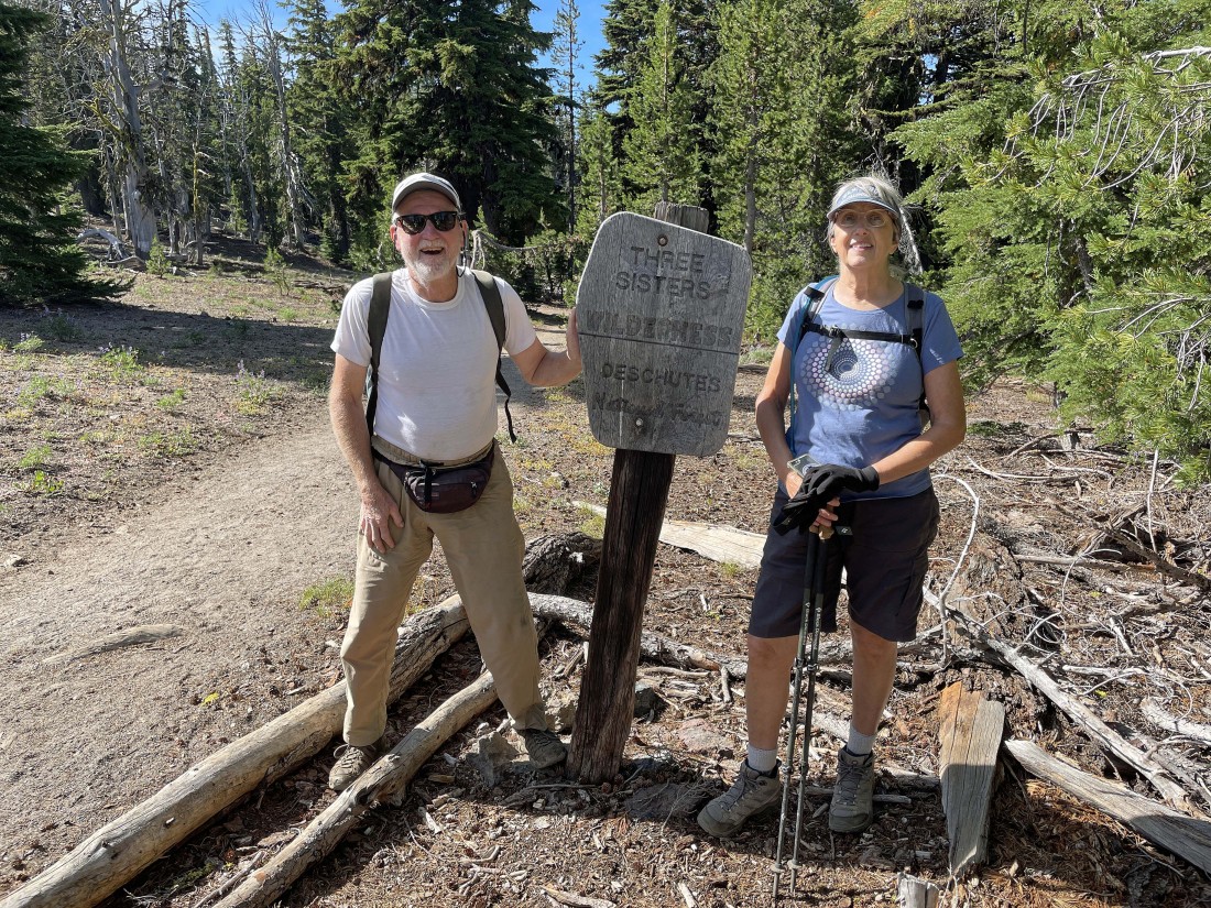
After hiking one mile we will enter Three Sisters Wilderness.
|
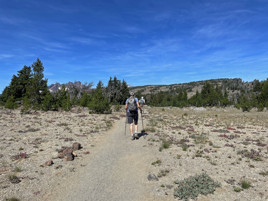
After hiking almost two miles we can see part of Broken Top Mountain on the far left... with Point 7732 up there on the far right horizon.
|
Nearing Point 7732 in the left foreground... with Little Three Creek Lake below the point... and Three Creek Lake (where we parked) in the middle of the photo.
|
|
After hiking 2.8 miles we have arrived at Point 7732... with Broken Top and the Three Sisters visible on the horizon.
|
Looking down on Little Three Creek Lake (left) and Three Creek Lake from Point 7732.
|
Leaving Point 7732 and heading toward Broken Top... with the top of South Sister on the far right.
|
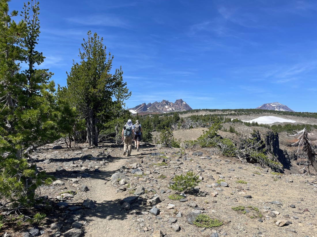
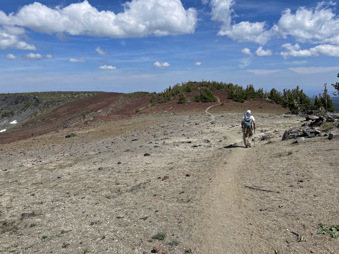
Continuing to hike west along the Tam McArthur Rim Trail toward Broken Top in the middle of the photo... with Mount Bachelor and Ball Butte visible on the far left.
|
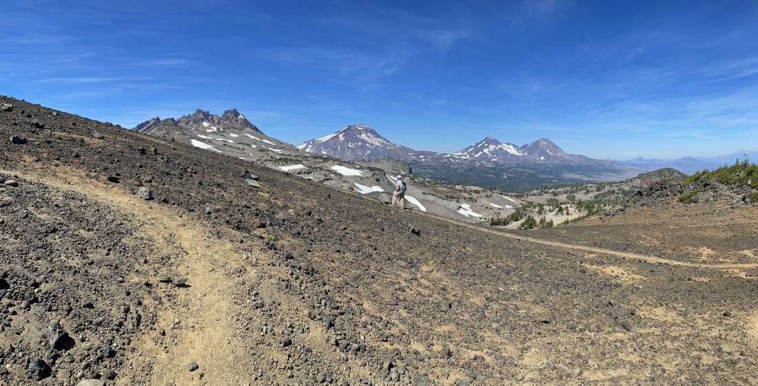
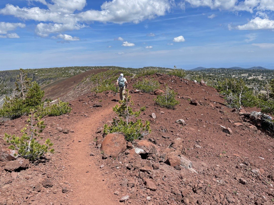
Gaining elevation on the Tam McArthur Rim Trail... with (left to right) Broken Top, South Sister, Middle Sister and North Sister on the horizon.
|
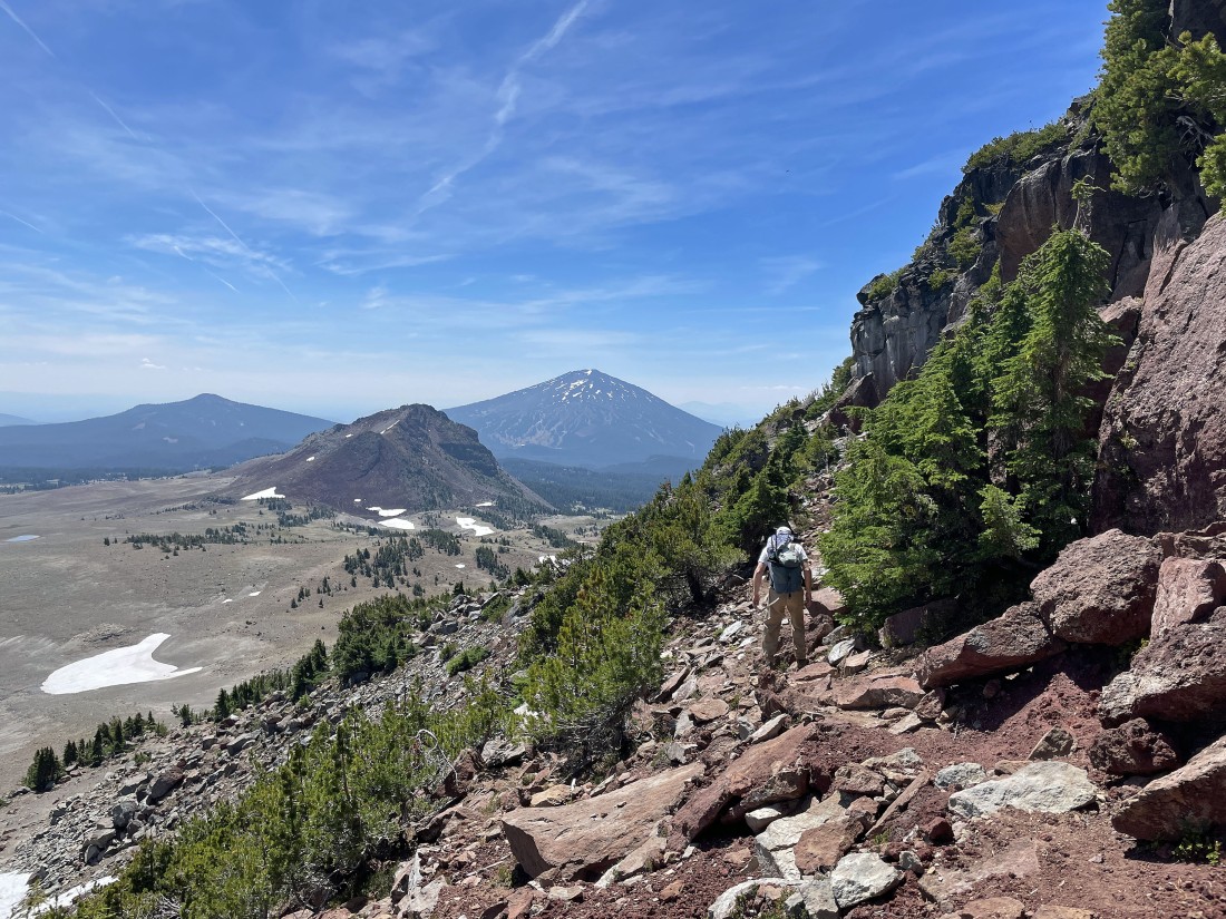
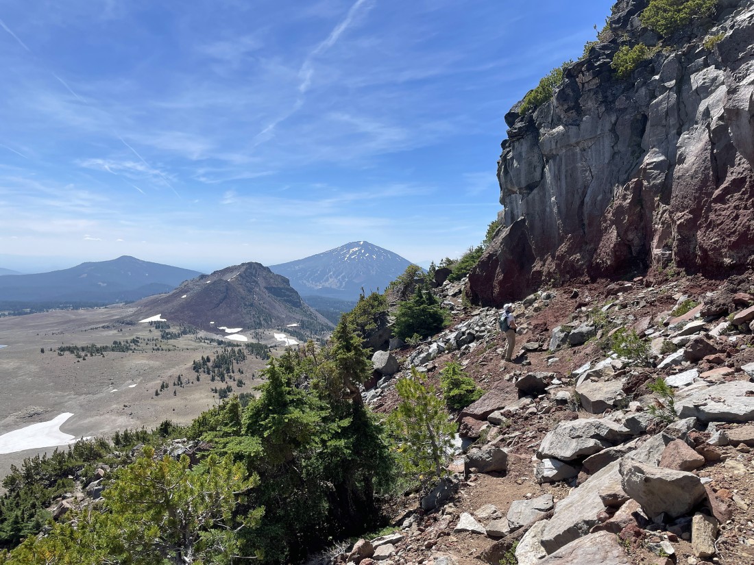
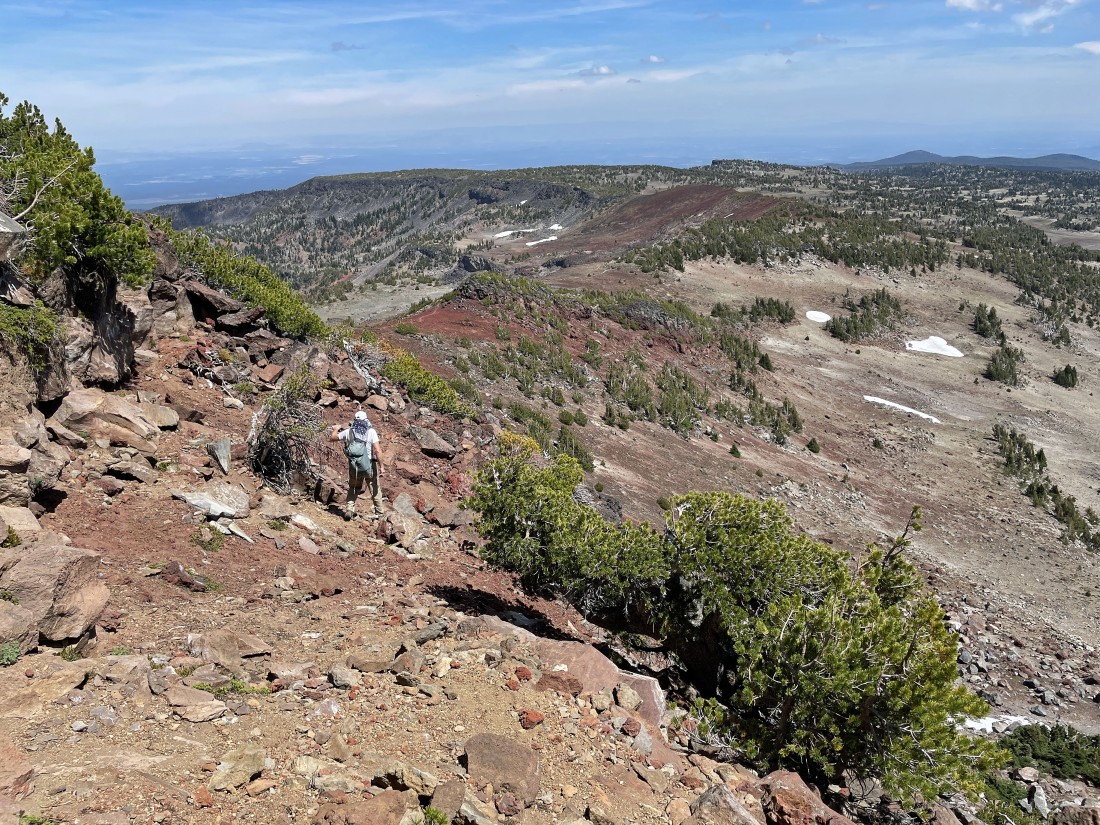
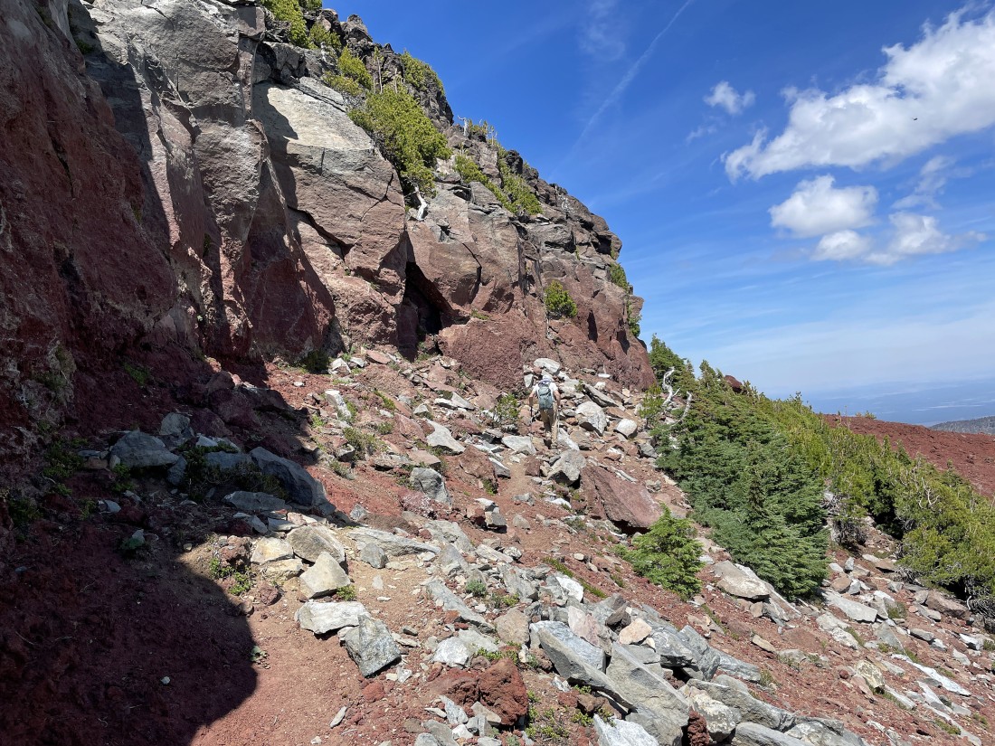
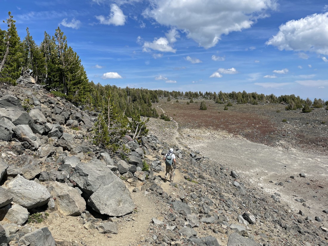
After hiking approximately 4 miles we are on a huge red rock portion of Tam McArthur Rim... with Broken Top and South Sister on the horizon... we can see Broken Hand from here, but it looks like part of Broken Top from here.
|
Denali Girl has decided to wait for us here.
|
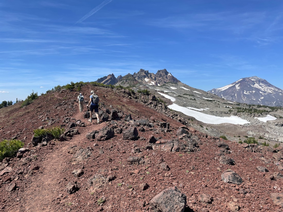
The trail will take us to Broken Hand in the left foreground of the photo.
|
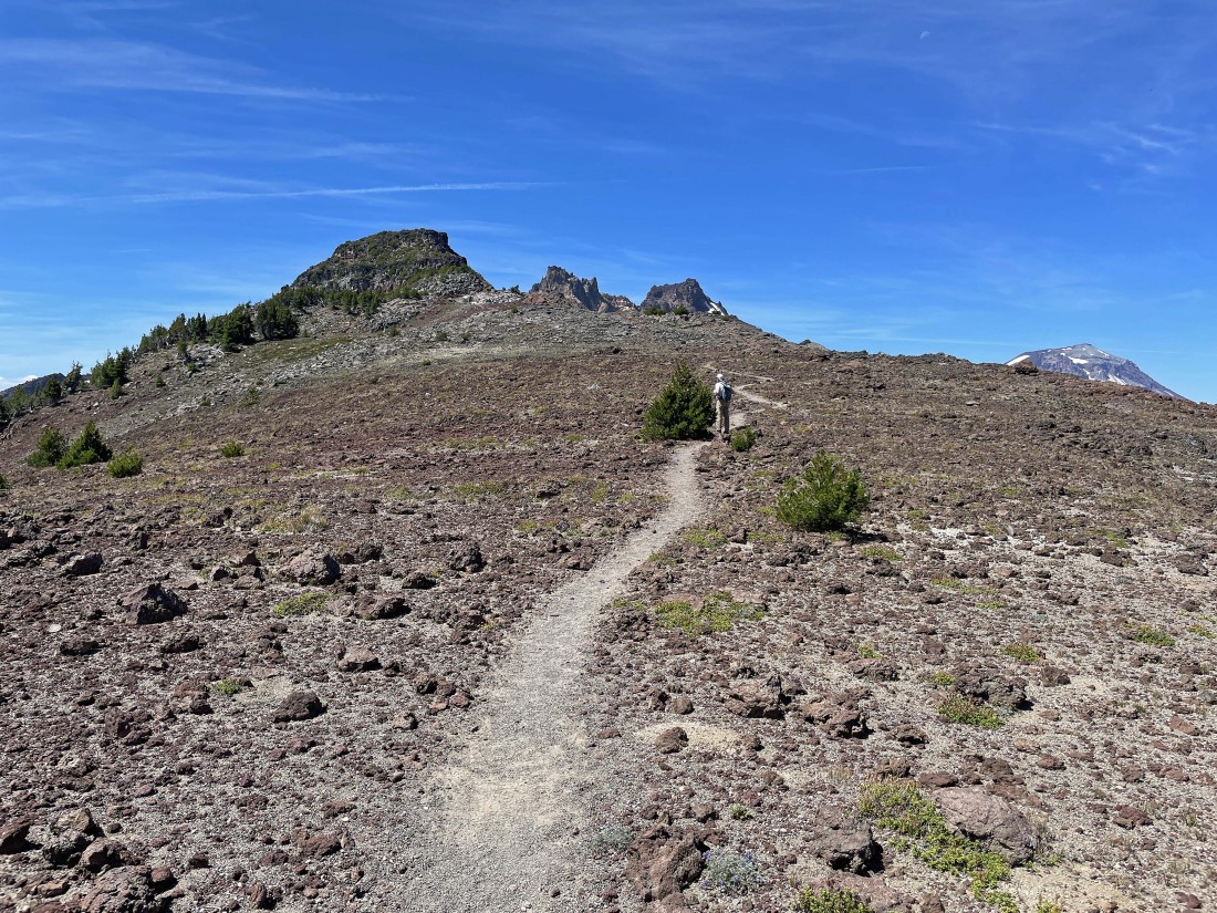
Almost to the base of Broken Hand.
|
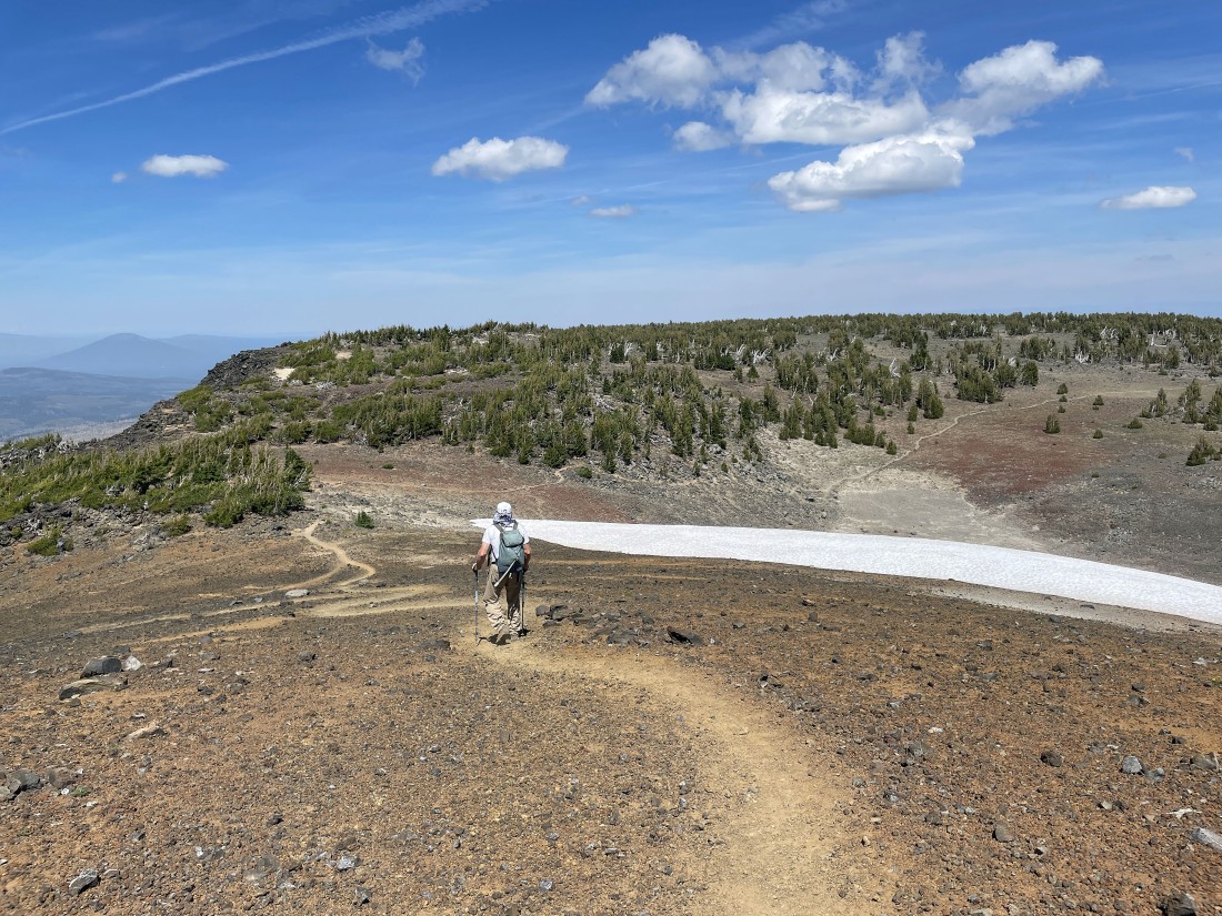
We have reached the base of Broken Hand and left the Tam McArthur Rim Trail and started hiking south on the path that circumvents Broken Hand... looking for a reasonable route that will get us up to the summit... with Ball Butte out there in the foreground... with Tumalo Mountain and Mount Bachelor on the horizon.
|
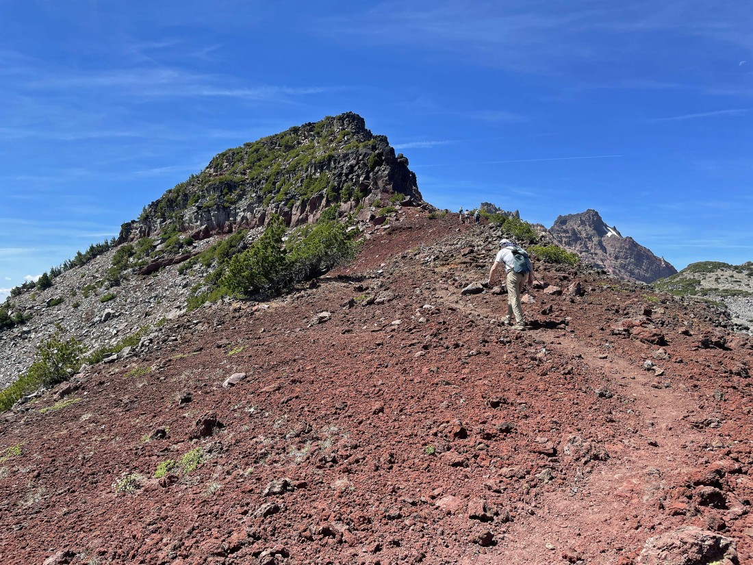
rocman is looking for a good route up to the summit of Broken Hand... and this doesn't work... so we will continue hiking around the summit block.
|
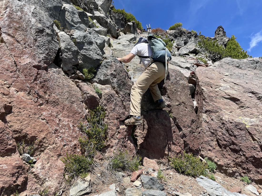
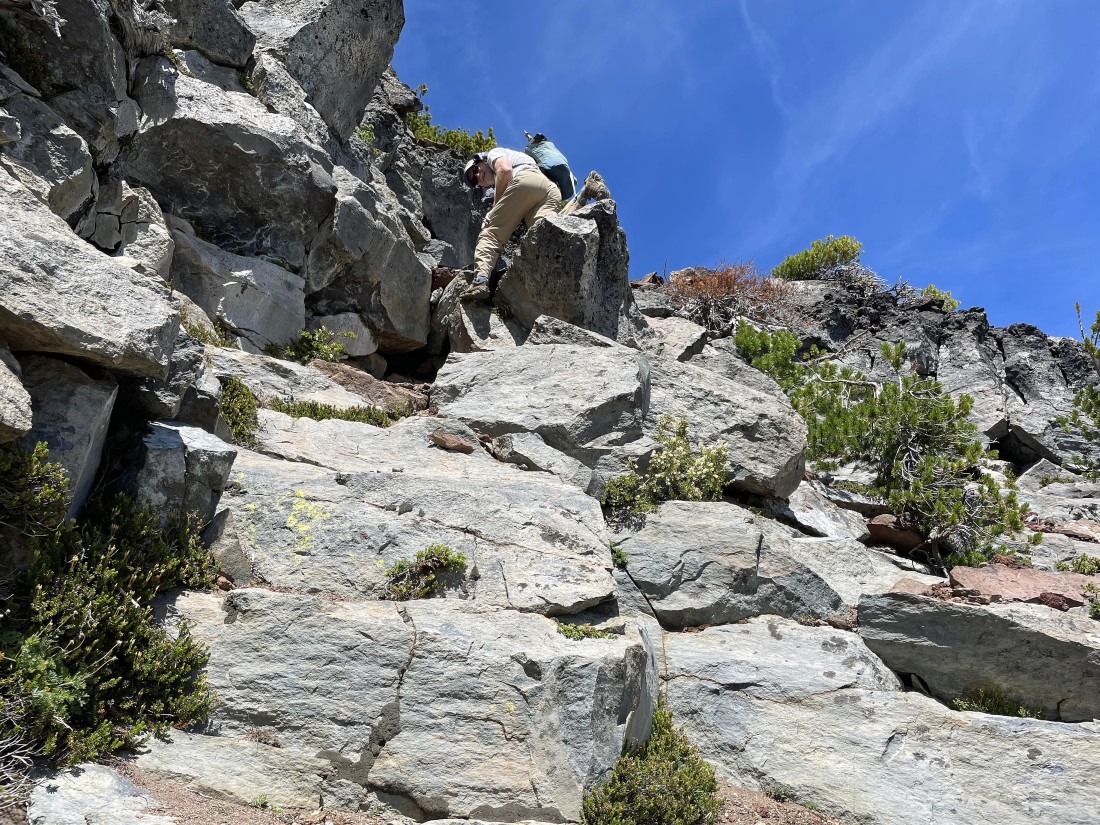
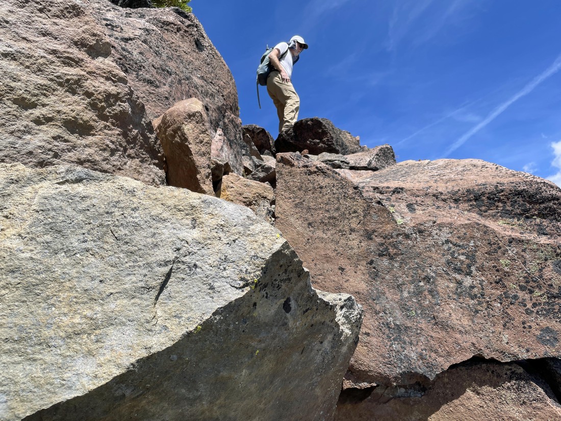
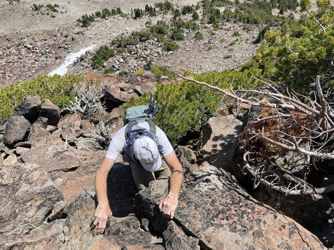
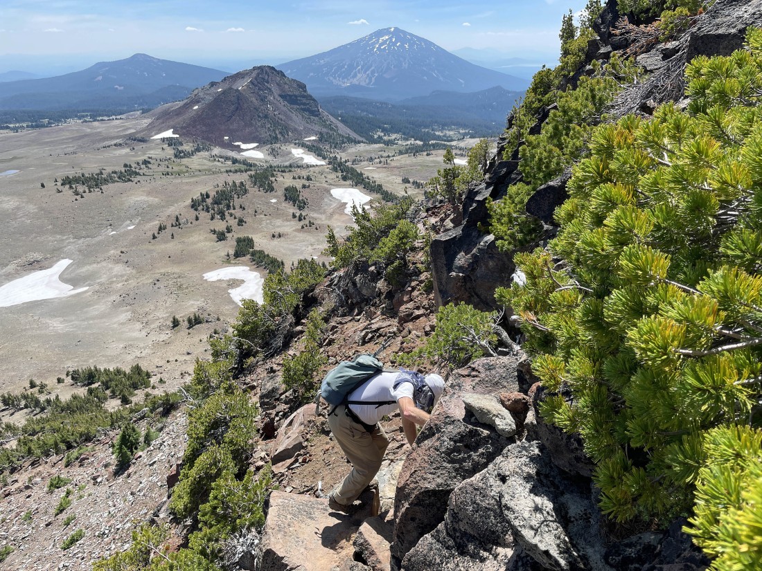
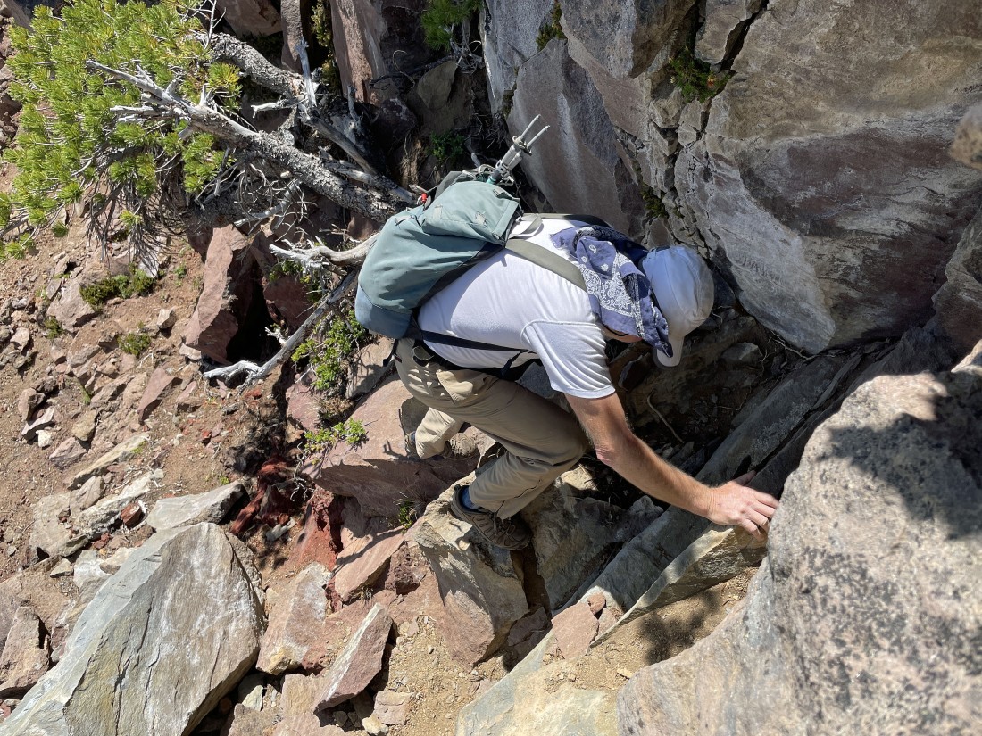
After hiking less than 400 feet from the Tam McArthur Rim Trail we have found a Class 3 scramble that should get us up to the summit of Broken Hand... rocman leads the way.
|
Scrambling up to the summit of Broken Hand.
|
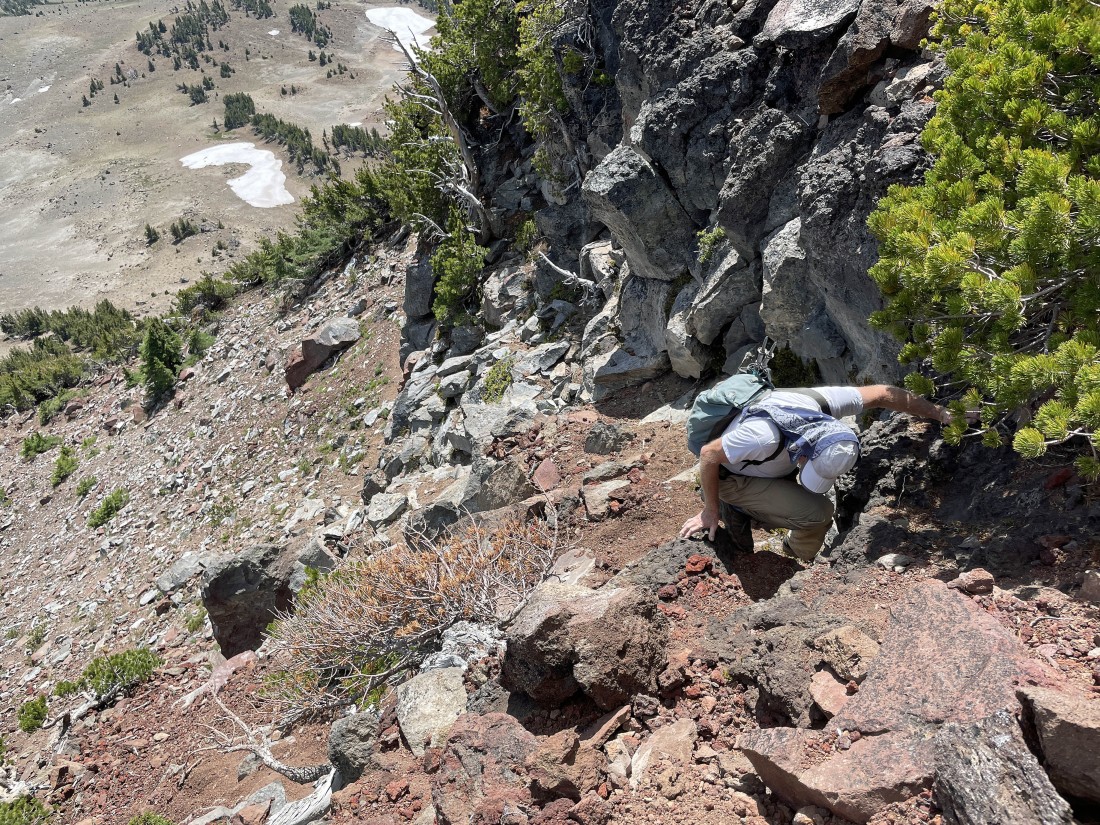
Scrambling up to the summit of Broken Hand.
|
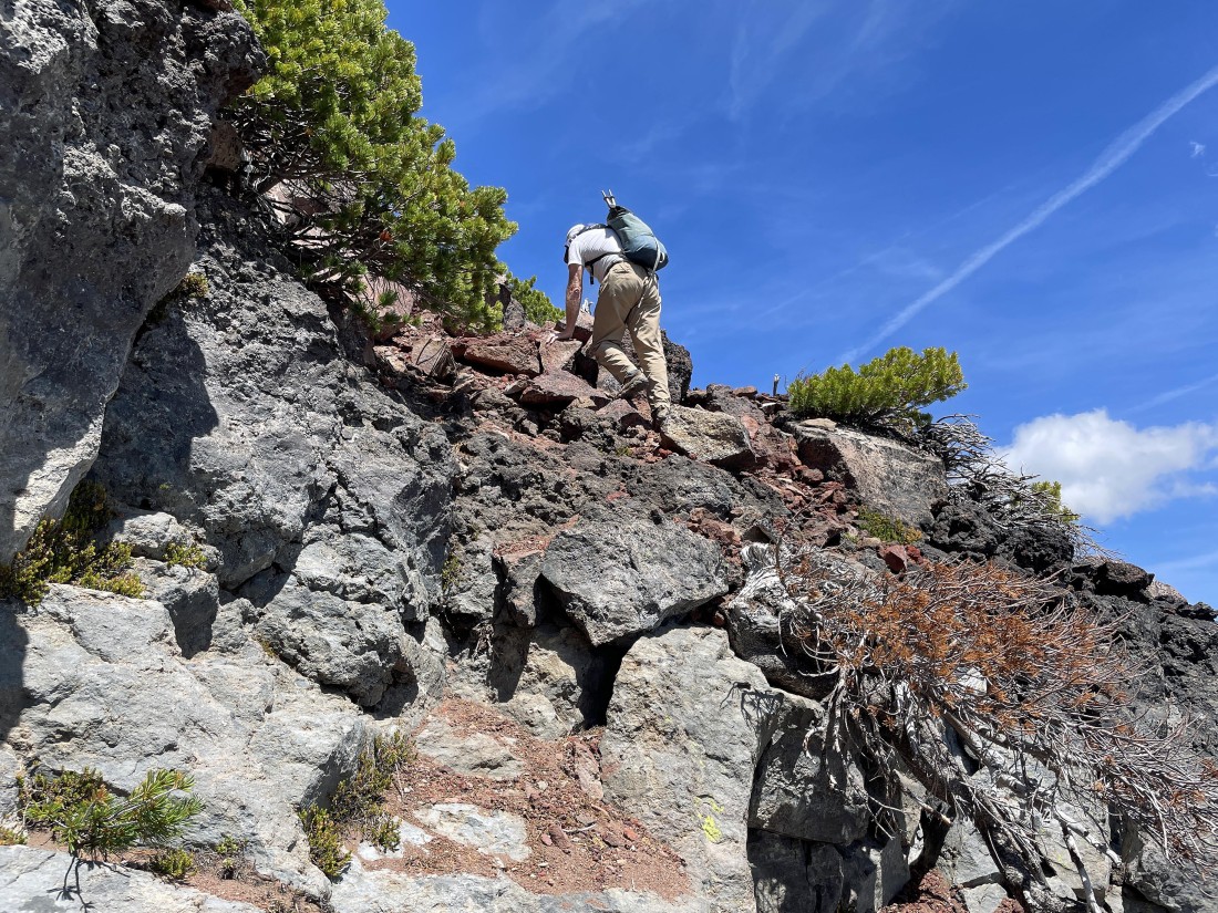
Scrambling up to the summit of Broken Hand.
|
Scrambling up to the summit of Broken Hand.
|
Scrambling up to the summit of Broken Hand.
|
Scrambling up to the summit of Broken Hand.
|

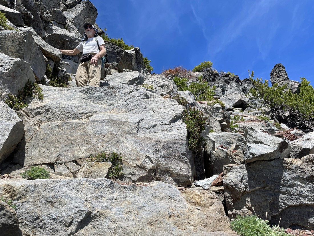
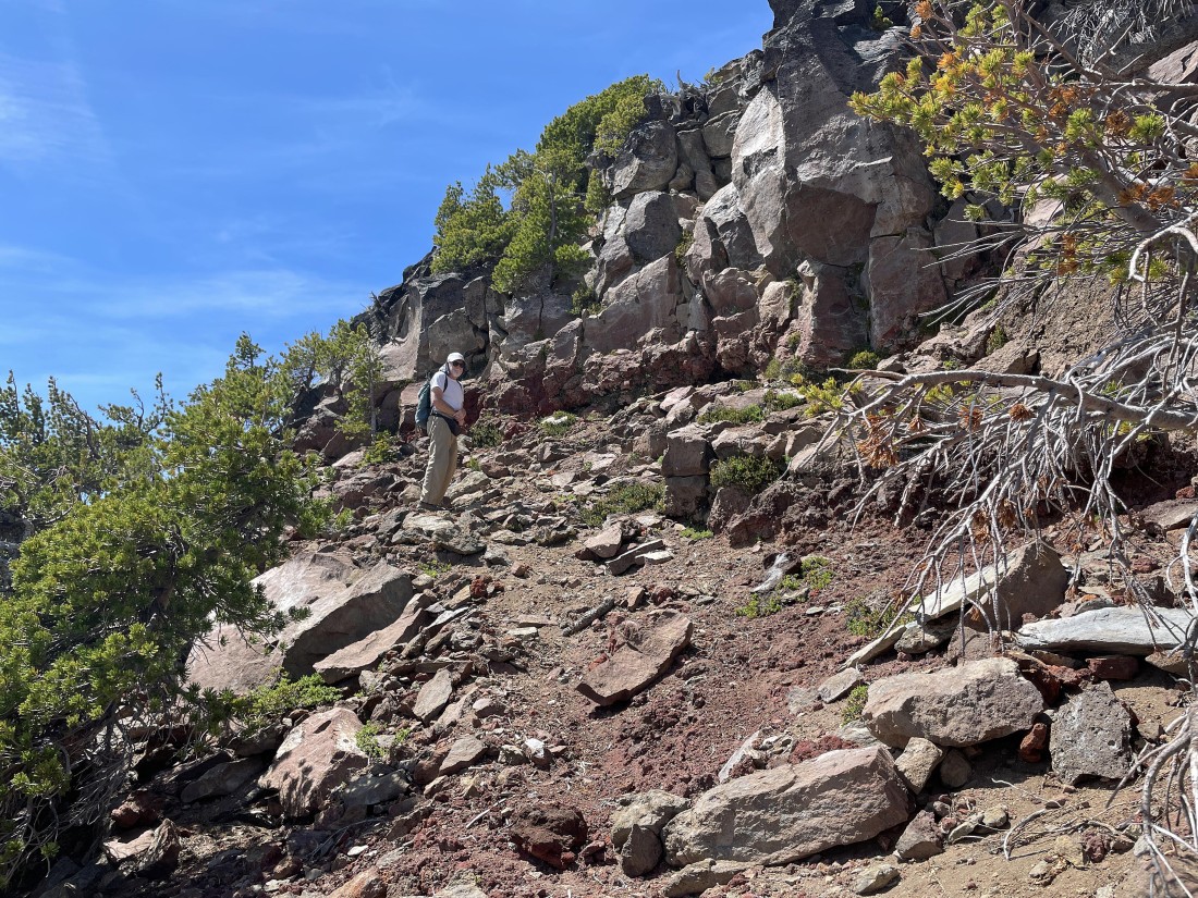
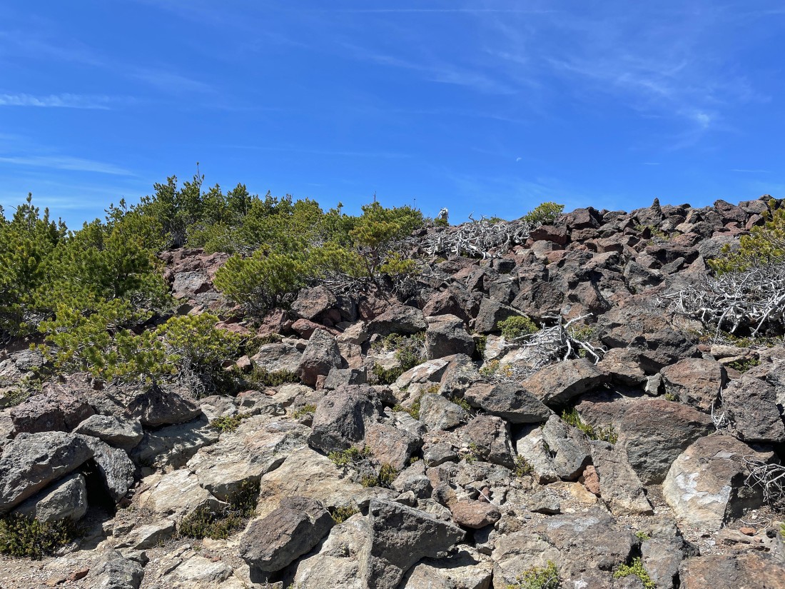
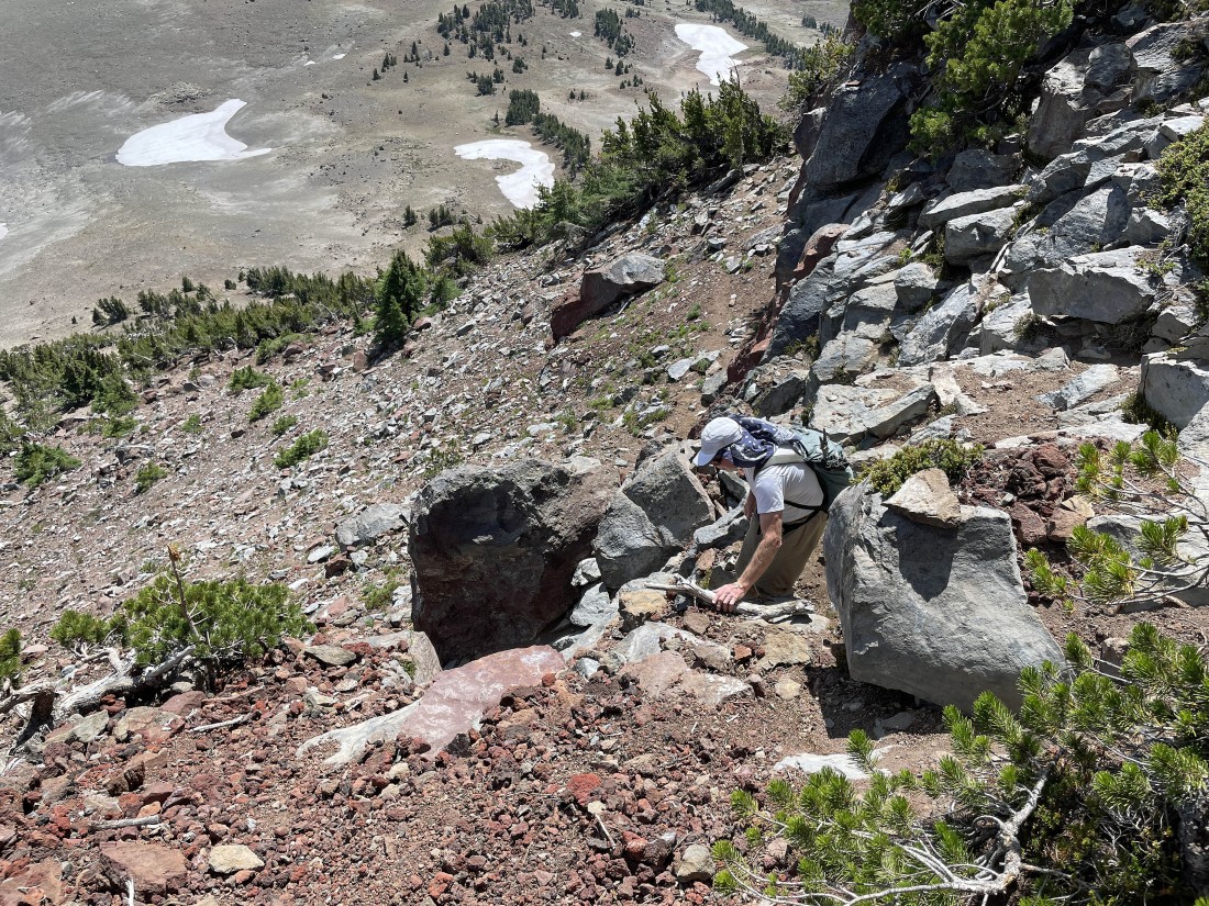
After doing a Class 3 scramble that gained approximately 120 feet of elevation we have reached the summit area that offers much easier terrain that will take us to the summit.
|
rocman is almost on the true summit.
|
|
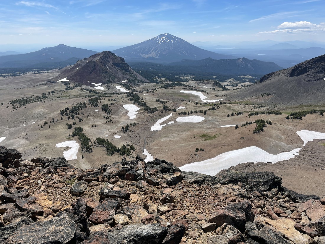
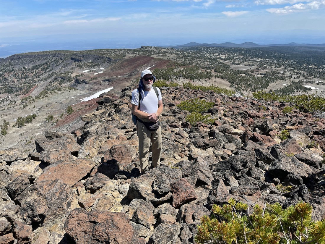
After hiking a total of 5.1 miles we have reached the summit (8,376') of Broken Hand... with Noname Lake sitting on the east side of Broken Top in the foreground... with the Three Sisters to the right of Broken Top.
|
Looking south from the Broken Hand summit to Ball Butte in the foreground... Tumalo Mountain on the far left horizon... and Mount Bachelor in the middle horizon of the photo.
|
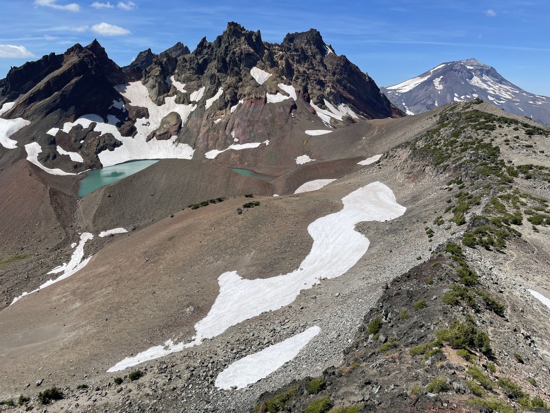
Broken Top and Noname Lake dominate the photo... with the ridge line on the far right leading out to Broken Hand West (which sits directly above Noname Lake)... with South Sister on the far right horizon.
|
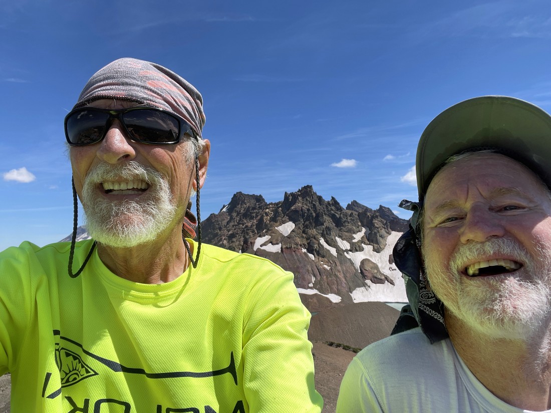
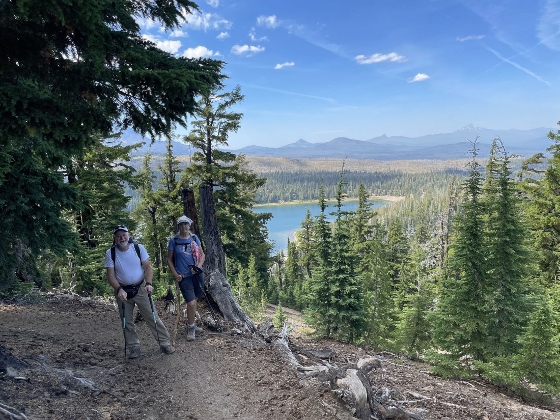
ragman and rocman enjoying the summit of Broken Hand with Broken Top behind us... it has been 50 years since we were roommates at the University of Washington!
|
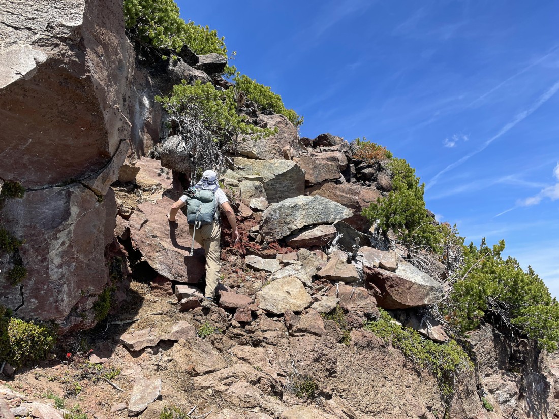
Time to trace our steps back to the car... we will hike back 50 yards or so to find the Class 3 scramble that will get us back to more comfortable terrain.
|
Time to scramble back down to comfortable terrain.
|
Working our way down to comfortable terrain.
|
Working our way down to comfortable terrain.
|
Working our way down to comfortable terrain.
|
Working our way down to comfortable terrain.
|
Almost down to comfortable terrain.
|
Back on comfortable terrain... and making the 400 foot hike back over to the Tam McArthur Rim Trail.
|
Back on Tam McArthur Rim Trail and tracing our steps back to the car.
|
Back on Tam McArthur Rim Trail and tracing our steps back to the car.
|
Back on Tam McArthur Rim Trail and tracing our steps back to the car.
|
|
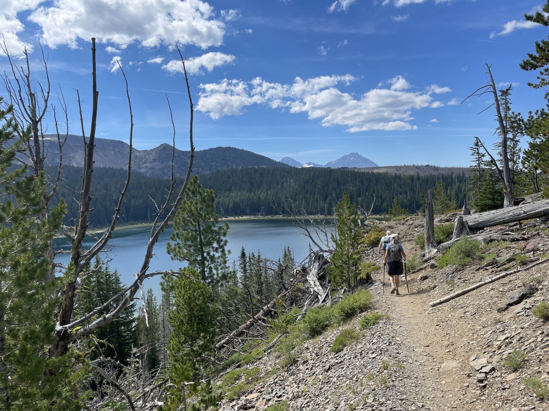
The last great look at Broken Hand, Broken Top and the Three Sisters.
|
Back on Tam McArthur Rim Trail and tracing our steps back to the car.
|
Back on Tam McArthur Rim Trail and tracing our steps back to the car.
|
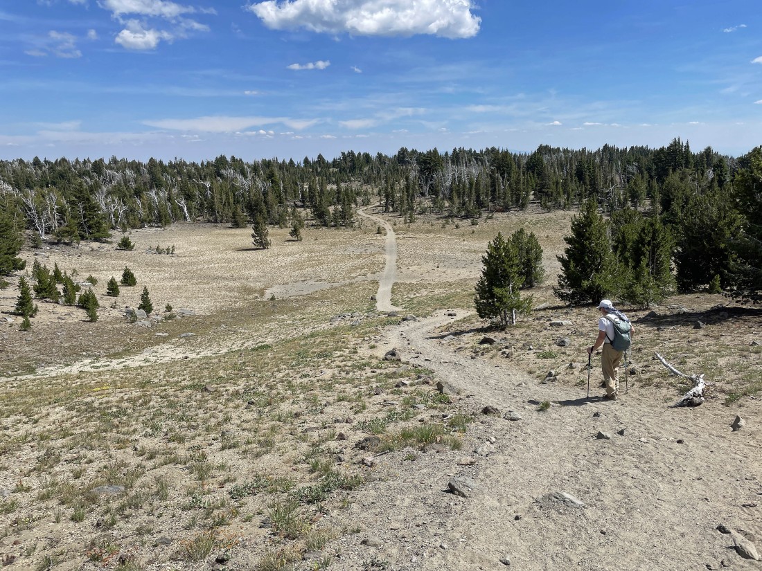
Less than a mile remains to get us back to the car... with Three Creek Lake in the distance.
|
Less than a quarter mile to go... the total hike was 10.1 miles, gaining 2163 feet of elevation.
|
