Blackman Peak - 8.16.2023
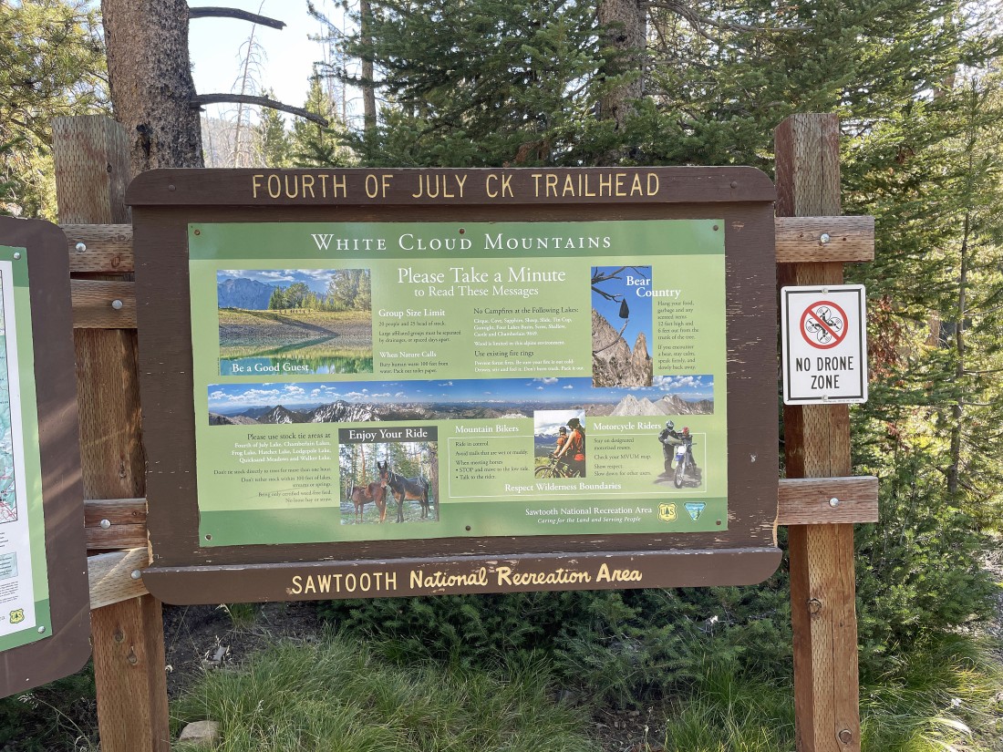
We drove Hwy 75 north of Ketchum, Idaho for 46.2 miles and turned right on Fourth of July Creek Road... then drove 10.1 miles to the end of the road to begin our hike on the Fourth of July Creek Trail.
|
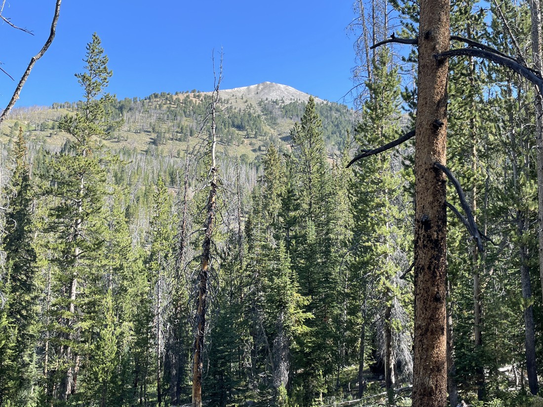
We could see Blackman Peak from the trailhead.
|
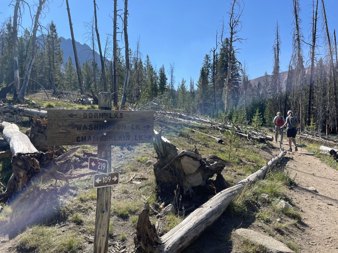
After hiking a total of 1.8 miles we are at the junction of Born Lakes Trail and Fourth of July Trail... we will take the short hike over to Fourth of July Lake and then return to take the Born Lakes Trail.
|
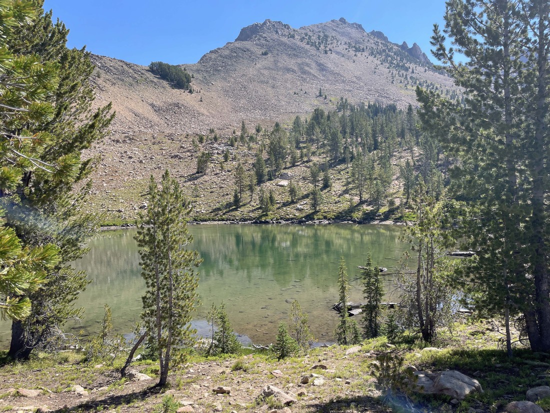
Snowdog and Denali Girl are relaxing at Fourth of July Lake... with Patterson Peak up there in the middle of the photo.
|
We have left the lake and are hiking on the Born Lakes Trail... gaining elevation above the lake... with Fourth of July Peak on the horizon.
|
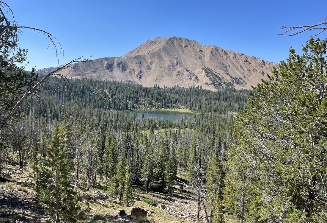
After hiking a total of 2.6 miles we have arrived at a tarn on the Born Lakes Trail... with Patterson Peak above.
|
Continuing to gain elevation on the Born Lakes Trail with Patterson Peak on the far left... and Fourth of July Peak in the right-center of the photo.
|
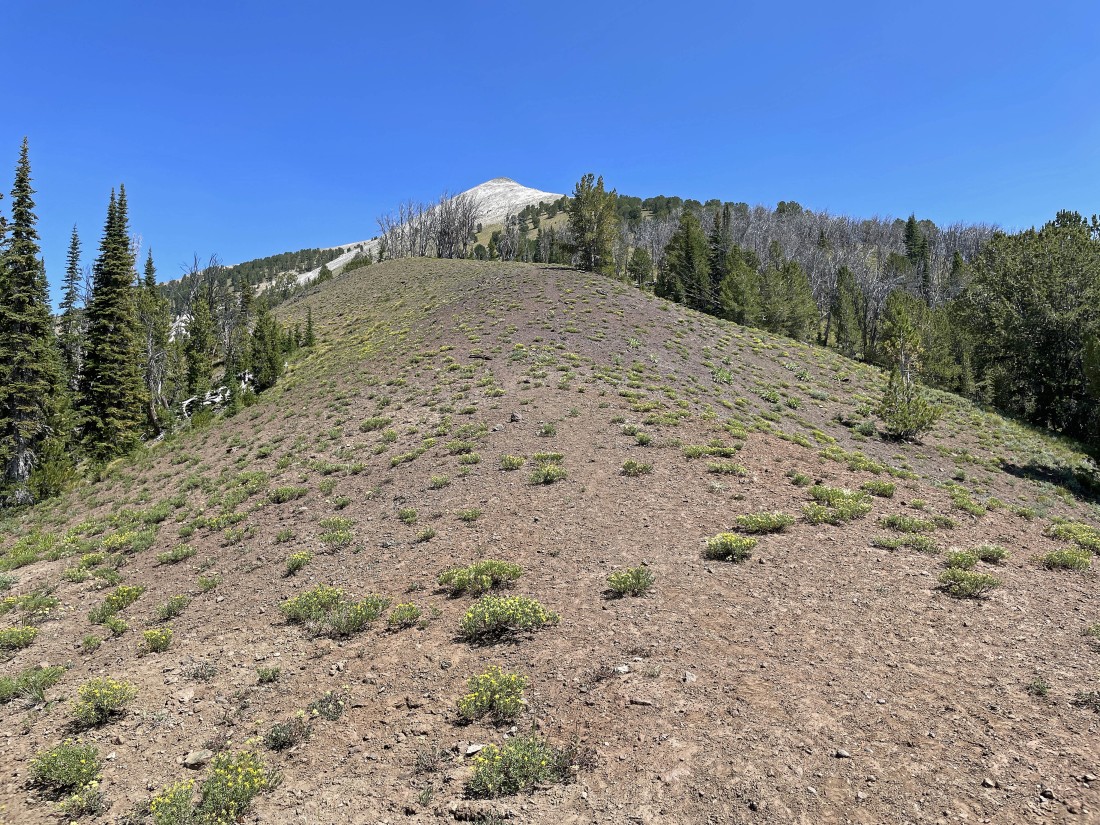
After hiking a total of 3.2 miles we have reached the pass that separates the Fourth of July Creek area from Antz Basin... here looking down at Antz Basin which is the home of the Born Lakes (but the lakes aren't visible because of the trees)... and look across the basin at 'David O. Lee Peak'... that white mountain... we will continue along the ridge on the far left to reach Blackman Peak... out there on the far left horizon.
|
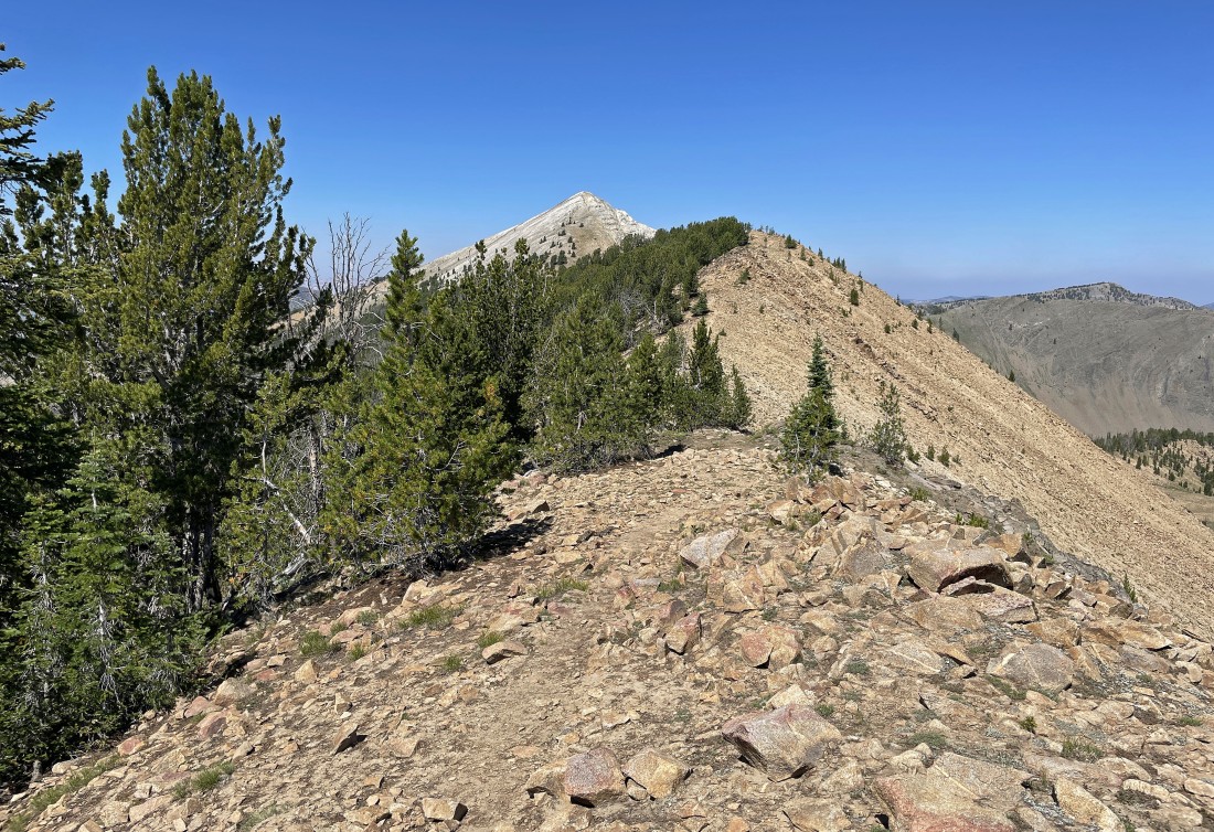
Hiking NW along the ridge... heading for Blackman Peak.
|
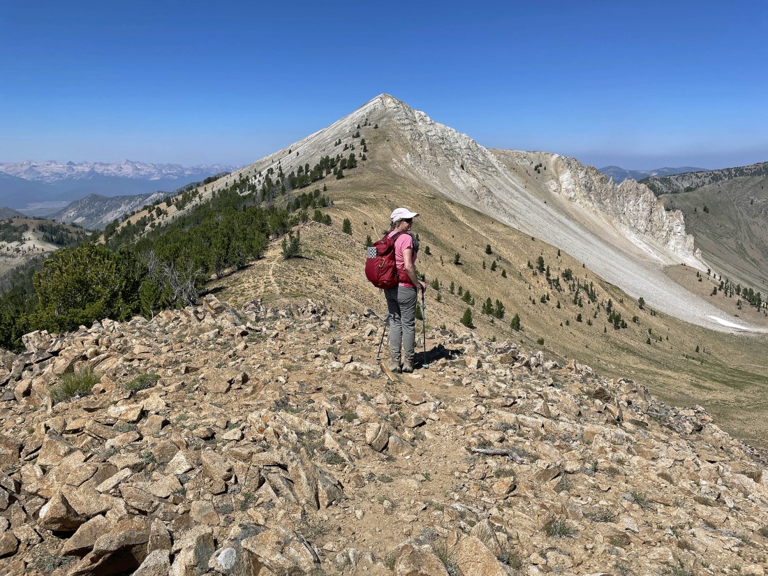
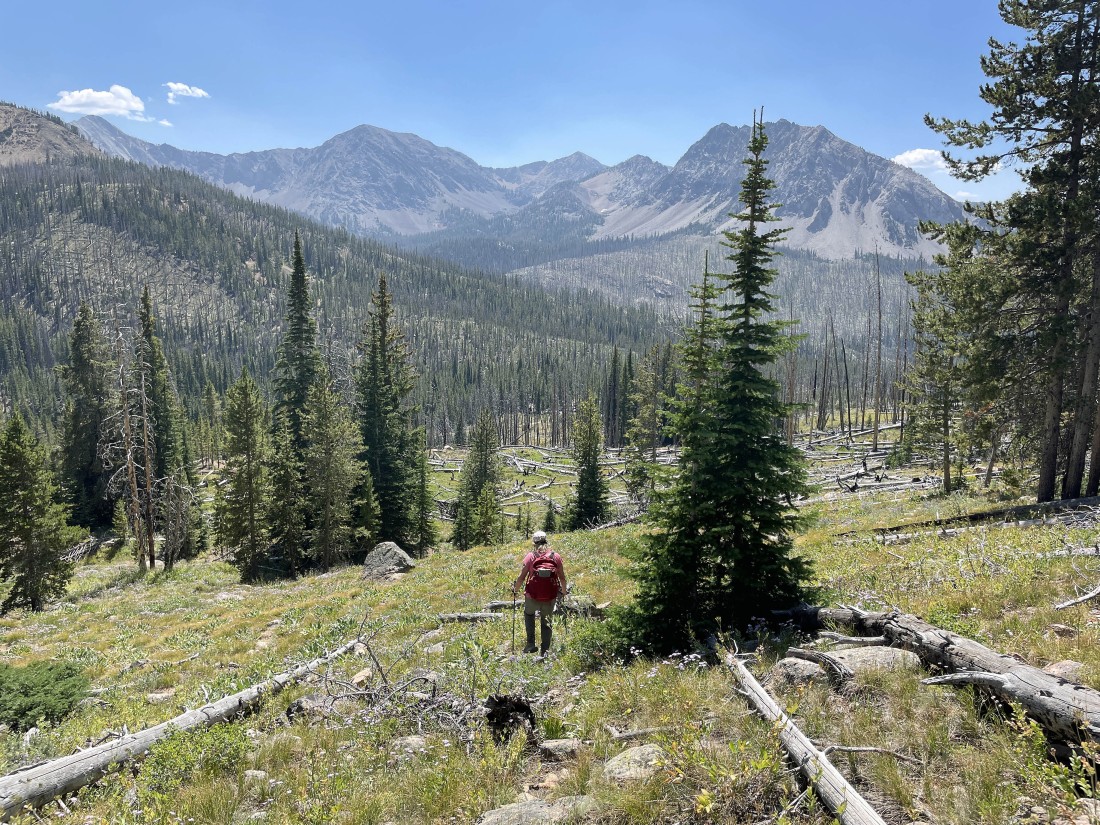
Denali Girl has decided to trace her steps back to the car while Snowdog and I continue hiking the ridge toward Blackman Peak.
|
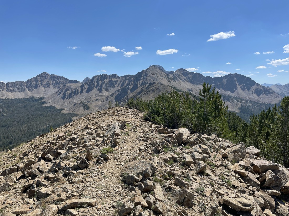
Looking back at the ridge we have been hiking on.
|
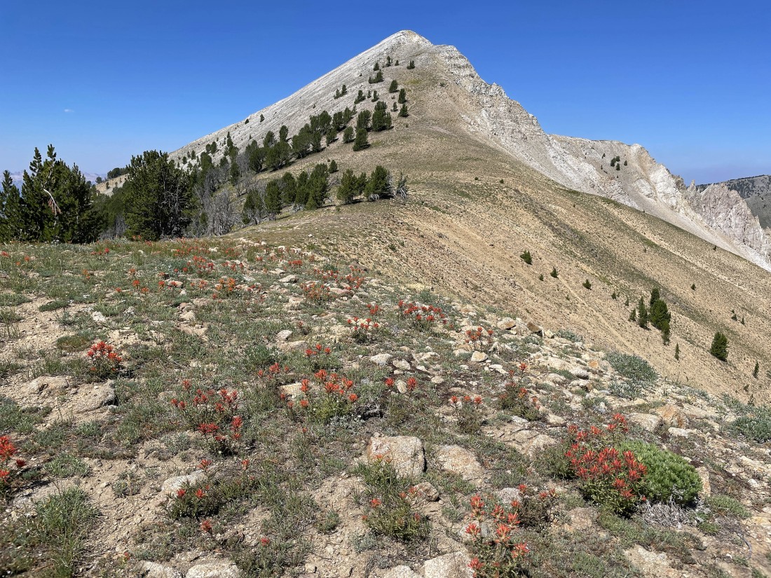
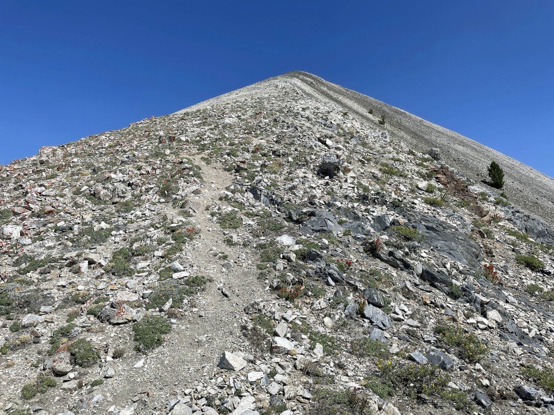
Hiking through a field of paintbrush before we begin the steep hike on the east ridge of Blackman Peak.
|
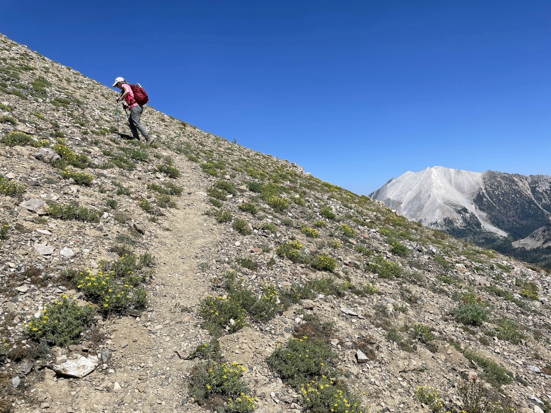
Snowdog begins the steep hike... with 'David O. Lee Peak' in the distance on the right.
|
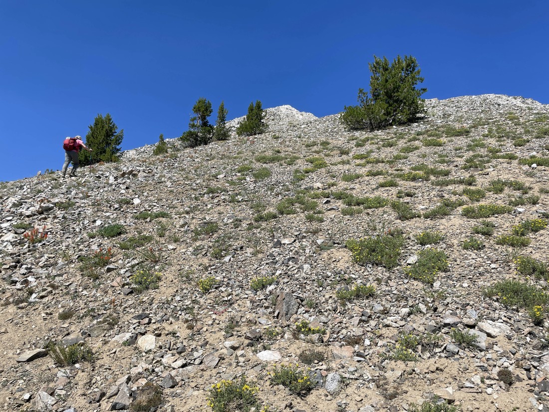
Continuing to gain elevation on the east ridge of Blackman Peak.
|
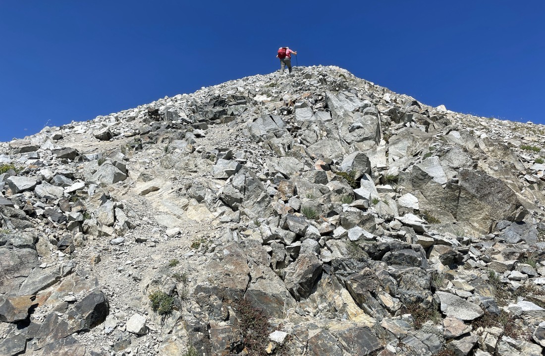
Snowdog nears the summit of Blackman Peak.
|
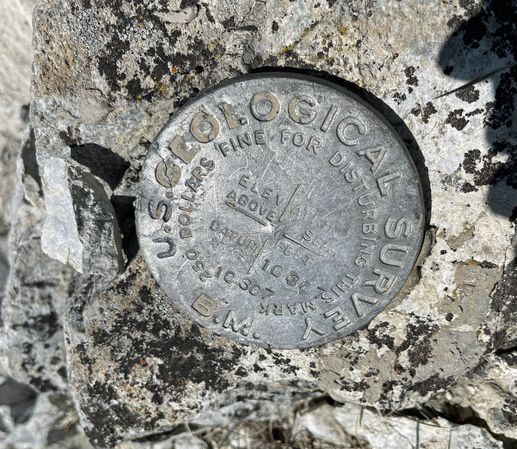
After hiking a total of 4 miles we are standing on the summit (10,307') of Blackman Peak.
|
From the Blackman Peak summit... looking north (left)... looking east (center)... looking south (right).
|
From the Blackman Peak summit... looking south (left)... looking west (center)... looking north (right).
|
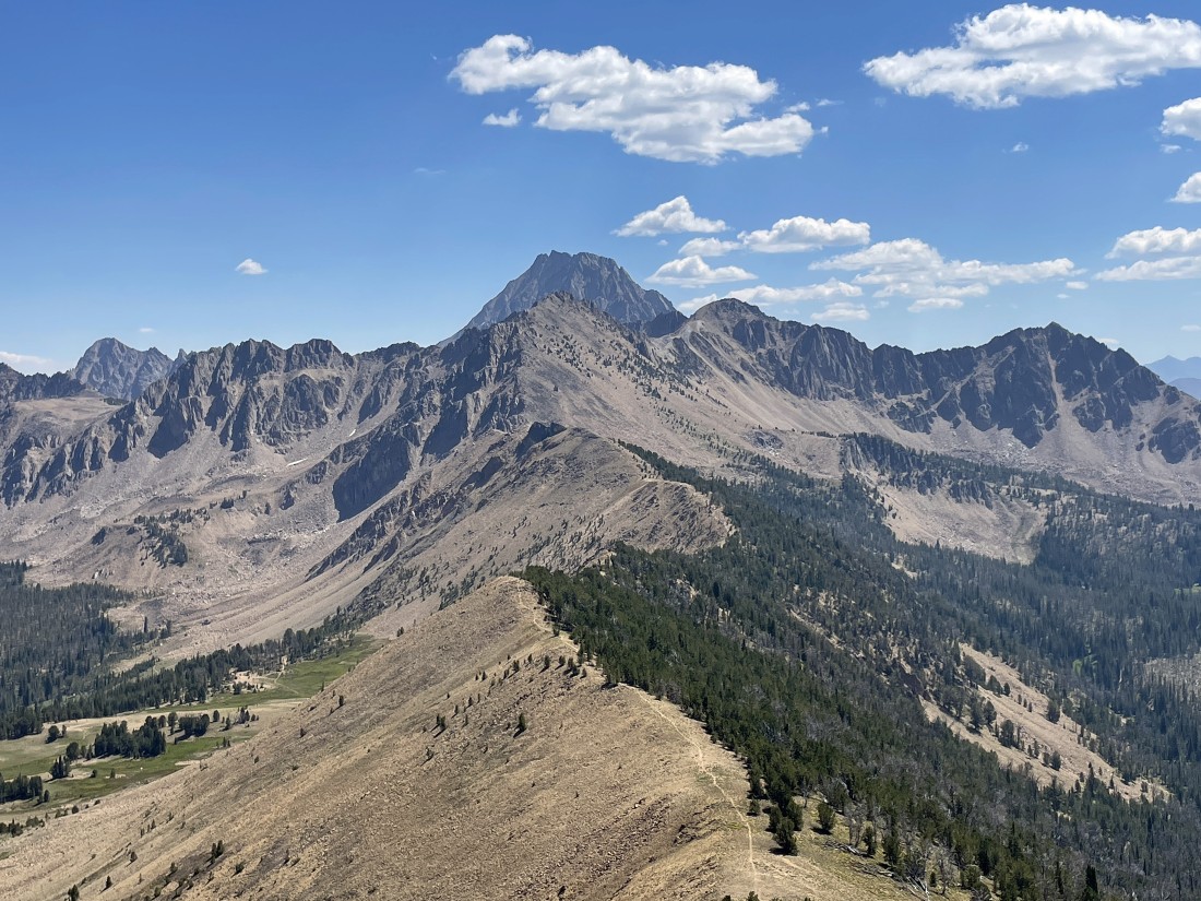
From the Blackman Peak summit... a closeup looking east back along the ridge toward Patterson Peak... with Castle Peak (the high point in the White Cloud Mountains) directly behind Patterson Peak in the middle of the photo.
|
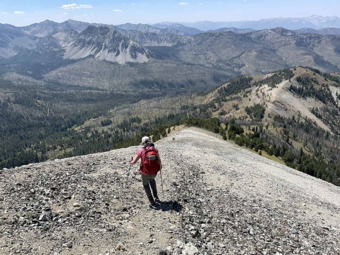
Time to leave the Blackman Peak summit and follow the path along the SW ridge of the peak.
|
Looking back up at the Blackman Peak summit as we descend the SW ridge.
|
Looking back up at Blackman Peak as we descend... getting ready to leave the ridge and head down to the parking lot.
|
Hiking cross-country in search of the parking lot.
|
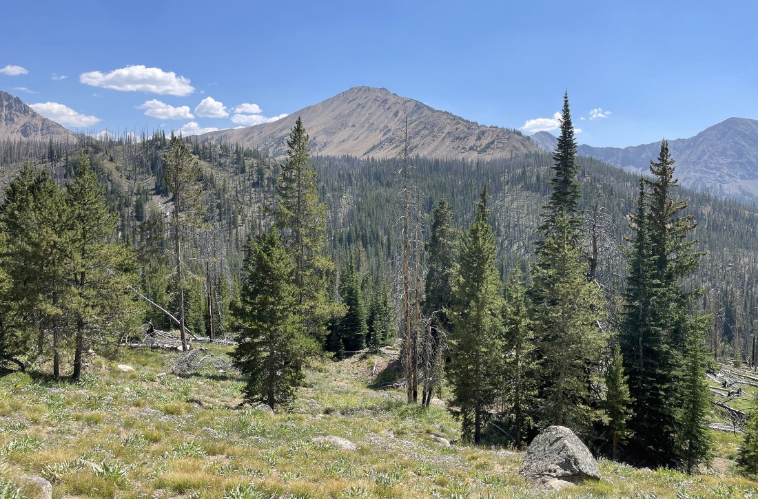
Continuing to hike cross-country in search of the parking lot... with Fourth of July Peak on the horizon.
|
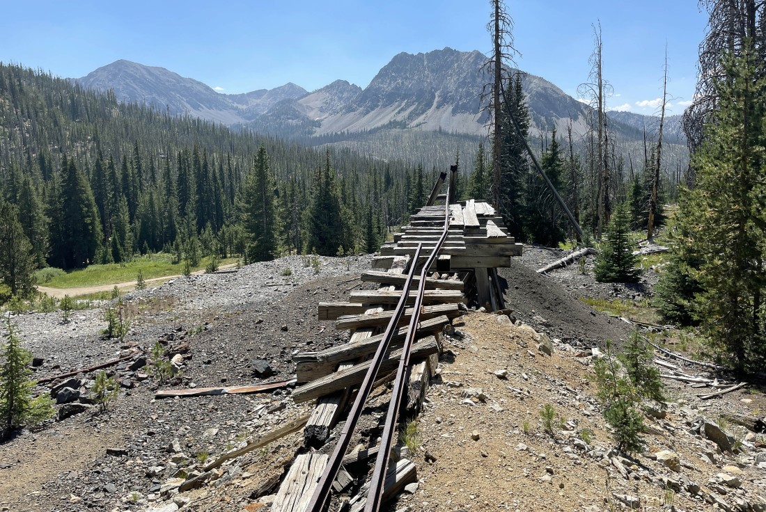
We are a stone's throw from the parking lot... here we found this abandoned mining operation... the total hike was 5.4 miles, gaining 1696 feet of elevation.
|
