South Sister - 9.5.2023
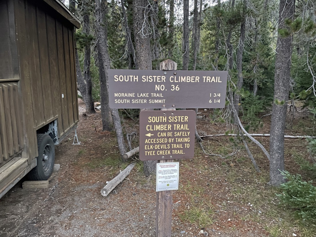
I parked in the Devils Lake parking lot and started hiking on the South Sister Climber Trail No. 36... at 6:15am it was 30 degrees.
|

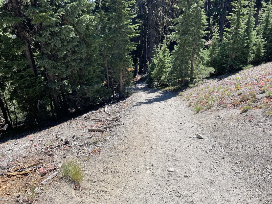
After hiking three-tenths of a mile I entered the Three Sisters Wilderness.
|
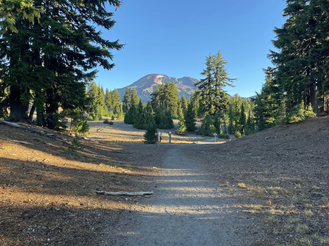
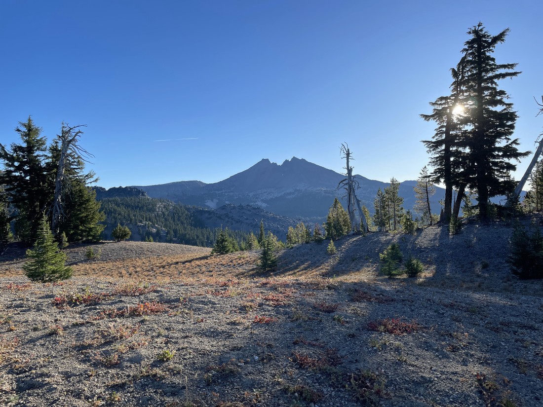
After gaining 1200 feet of elevation in a total of 1.9 miles I got my first good look at South Sister.
|
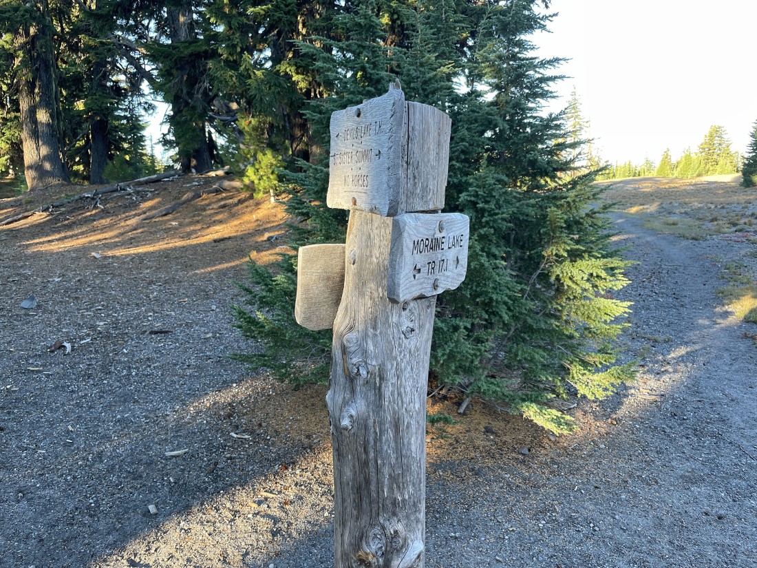
After hiking a total of 2 miles I have reached the trail junction of Moraine Lake Trail #17.1... but I will stay on South Sister Climber Trail #36.
|
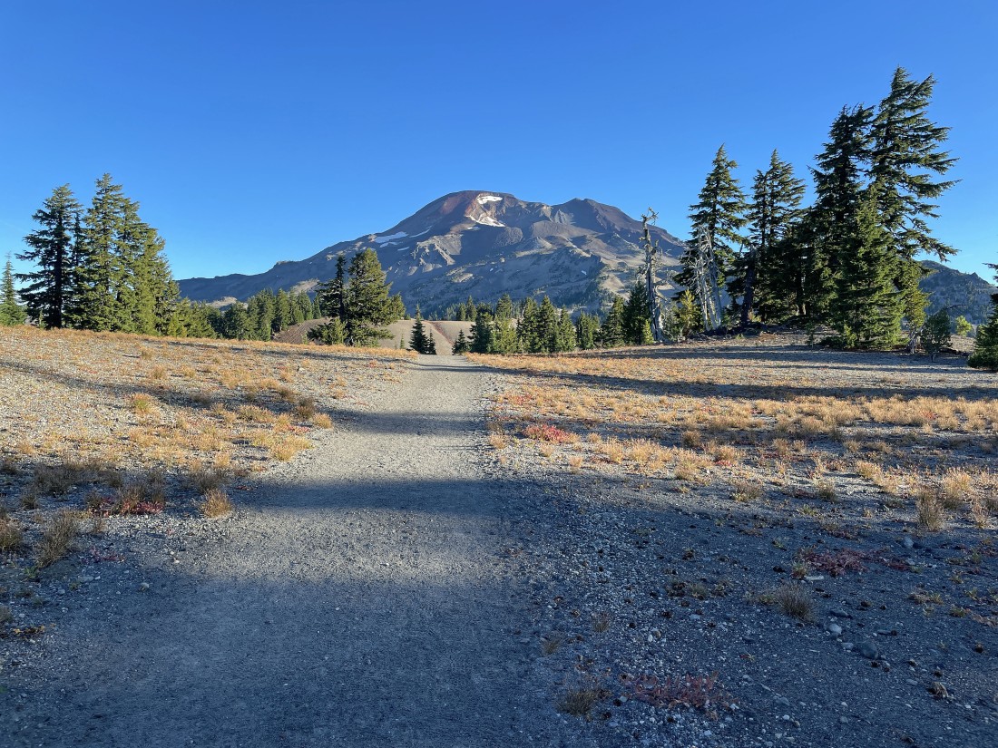
Hiking on fairly flat terrain now as I hike above Moraine Lake.
|
Continuing to hike north toward South Sister... here looking over to the east at Broken Top.
|
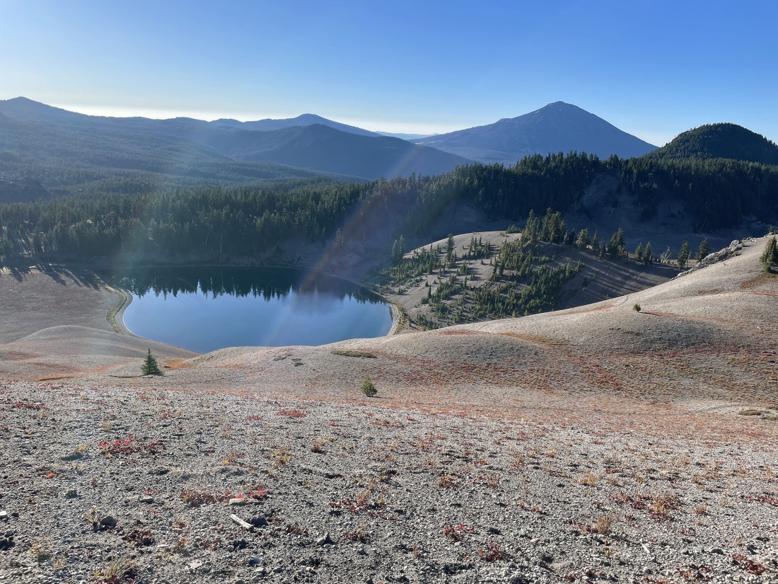
Looking down at Moraine Lake... with Mount Bachelor on the right horizon.
|
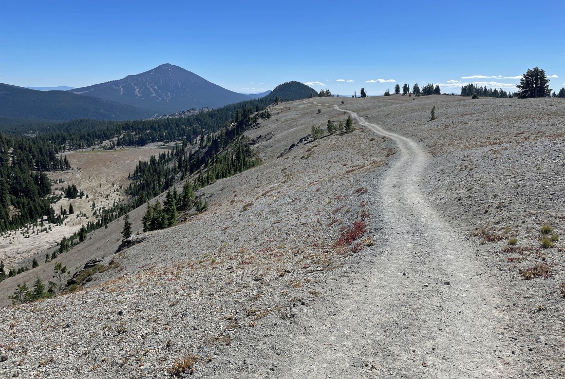
Continuing to hike on the flatish terrain above Moraine Lake... the flatish terrain stretched for approximately 1.5 miles.
|
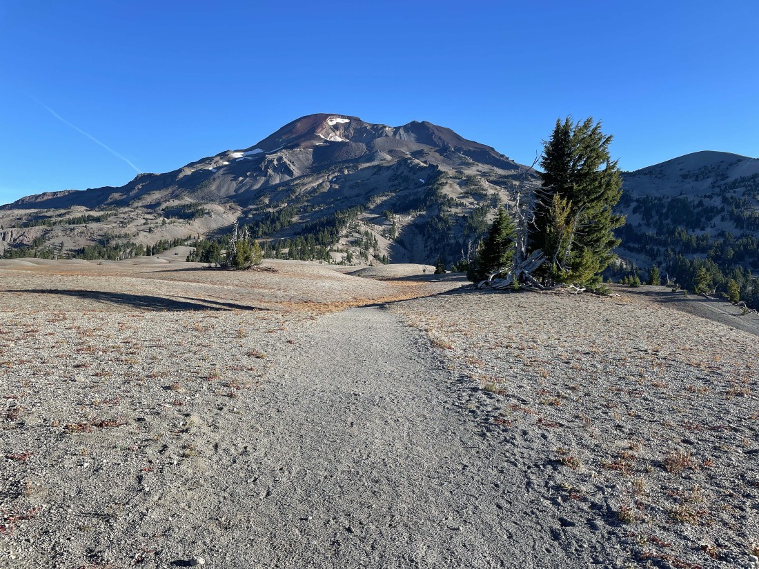
Off of the flatish terrain now... and gaining elevation.
|
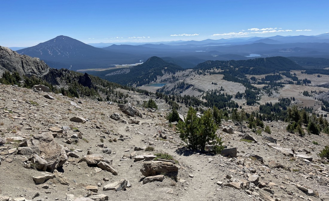
Looking back to the south as I gain elevation with every step now... Mount Bachelor is on the left horizon... and you can see the 1.5 miles of flatish terrain above Moraine Lake in the left-middle of the photo.
|
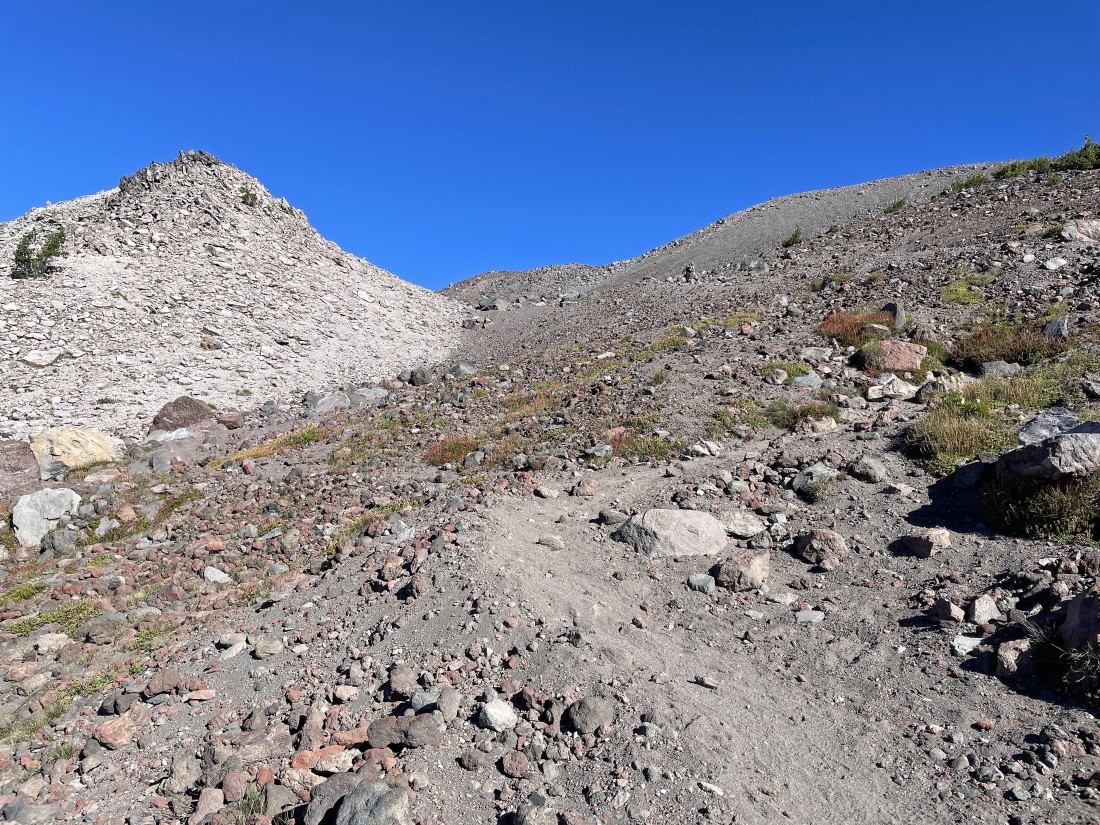
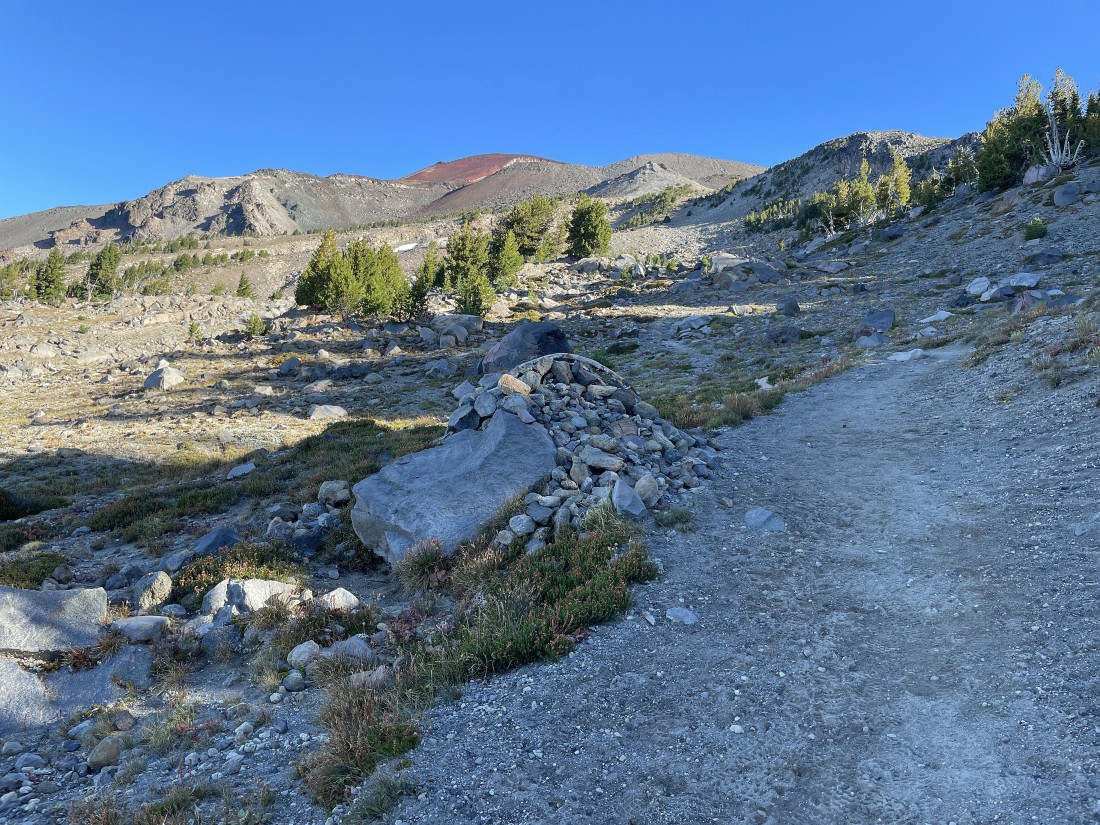
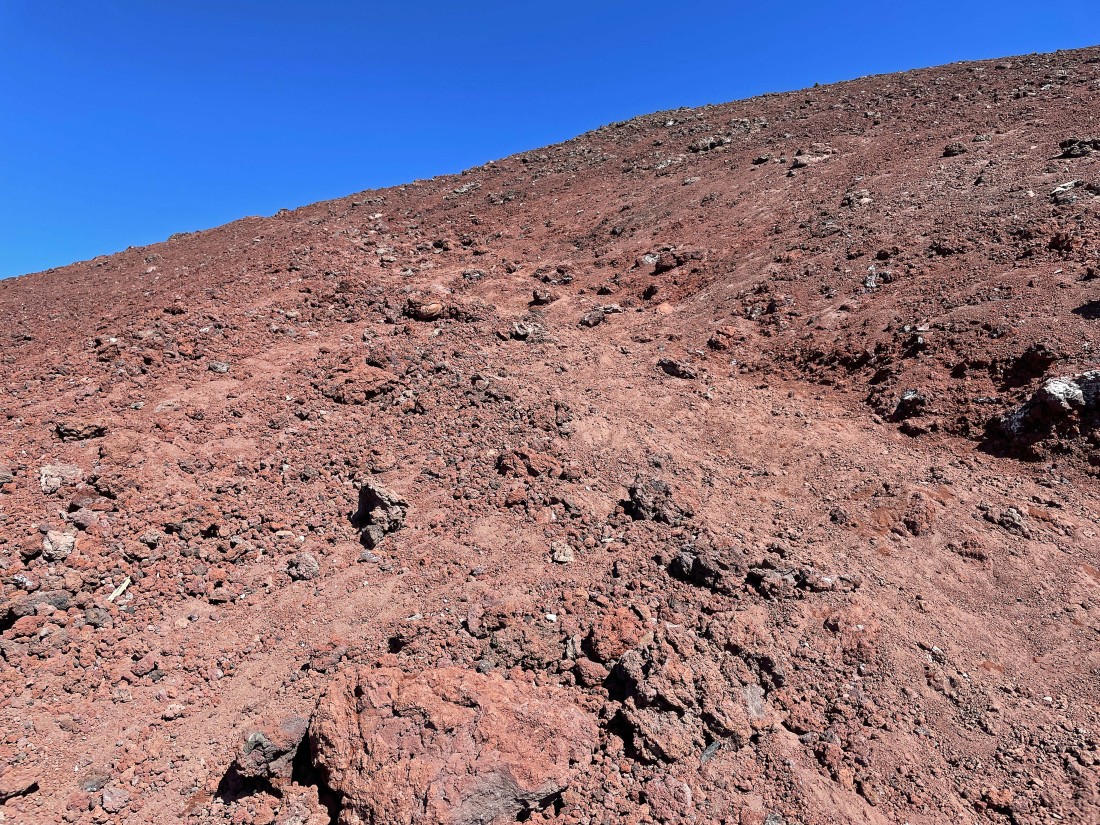
The terrain is steeper than it looks here.
|
Almost up to the Lewis Glacier Tarn.
|
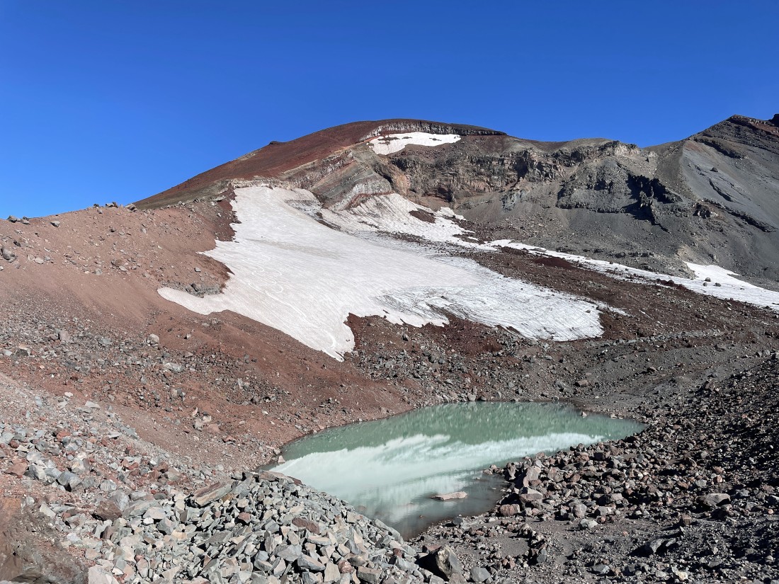
After hiking a total of 4.7 miles I have arrived at 8,850 feet... overlooking the Lewis Glacier Tarn... and looking up at the South Sister summit area.
|
A broader look from above the Lewis Glacier Tarn... time to hike around to the left and head for the South Sister summit... Lewis Glacier Peak is in the right foreground.
|
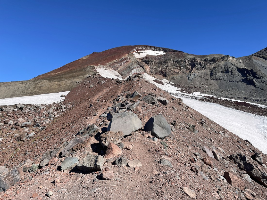
Heading for the South Sister summit area... with the Lewis Glacier on the right... and the Clark Glacier on the left.
|
|
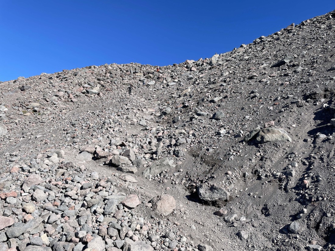
Looking back to the south as I continue to hike on steep terrain on my way to the South Sister summit.
|
Continuing to gain elevation on very steep terrain... with the Lewis Glacier on the right.
|
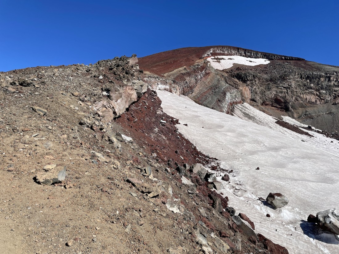
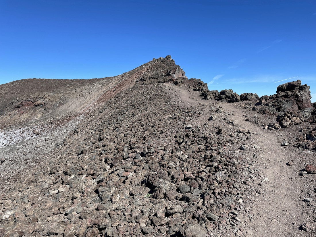
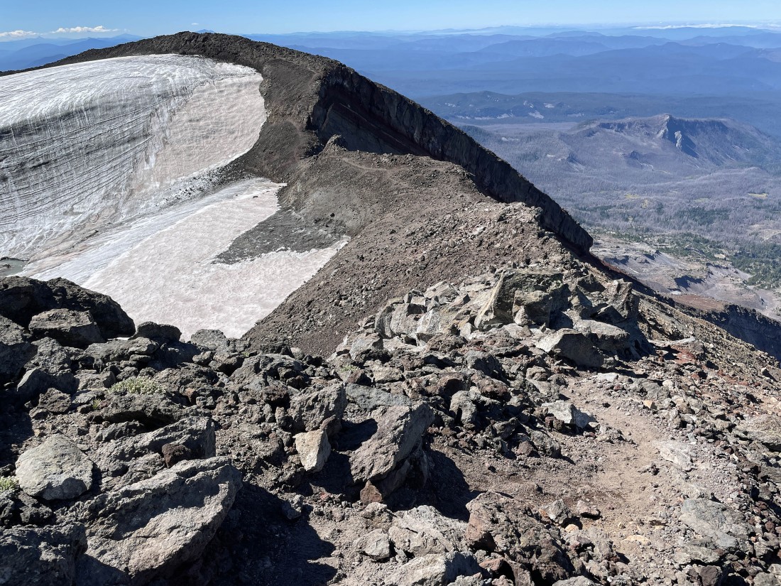
Almost up to the South Sister Crater rim.
|
Nearing the South Sister Crater rim... here looking back to the south.
|
After hiking a total of 5.6 miles I have reached the South Sister Crater rim at 10,208 feet... time to hike around the rim to the right to get over to the summit.
|
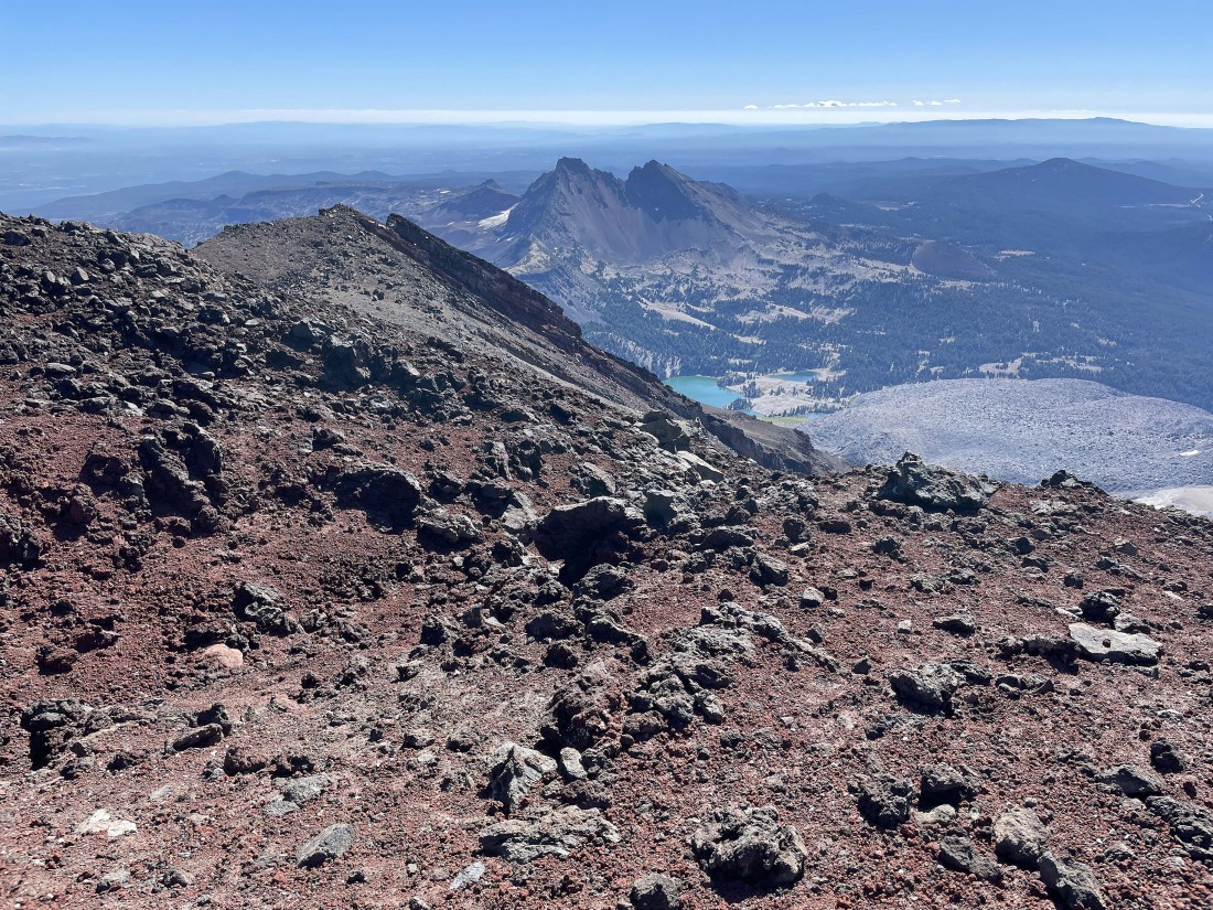
Hiking around the South Sister Crater rim... here looking out to two of the three Green Lakes and Broken Top.
|
Continuing to hike around the South Sister Crater rim... here looking SE beyond Hodge Crest in the foreground to Broken Top.
|
Reeling in the South Sister summit.
|
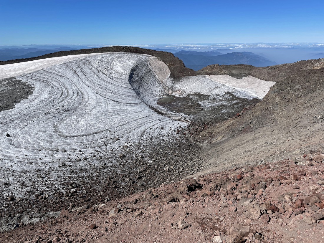
Almost to the South Sister summit... here looking down at Teardrop Pool... back in the mid-80s and 90s the pool was crystal blue.
|
After gaining 4,928 feet of elevation in a total of 6 miles I am standing on the South Sister summit (10,358 feet)... here looking north at Middle Sister and North Sister in the foreground... with the Chambers Lakes below.
|
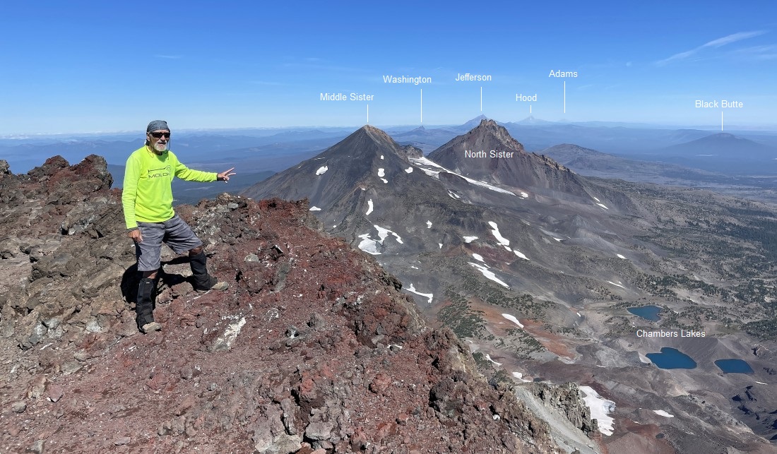
A person offered to take a photo of me at the summit area... and yes, we could barely see Mount Adams on the horizon.
|
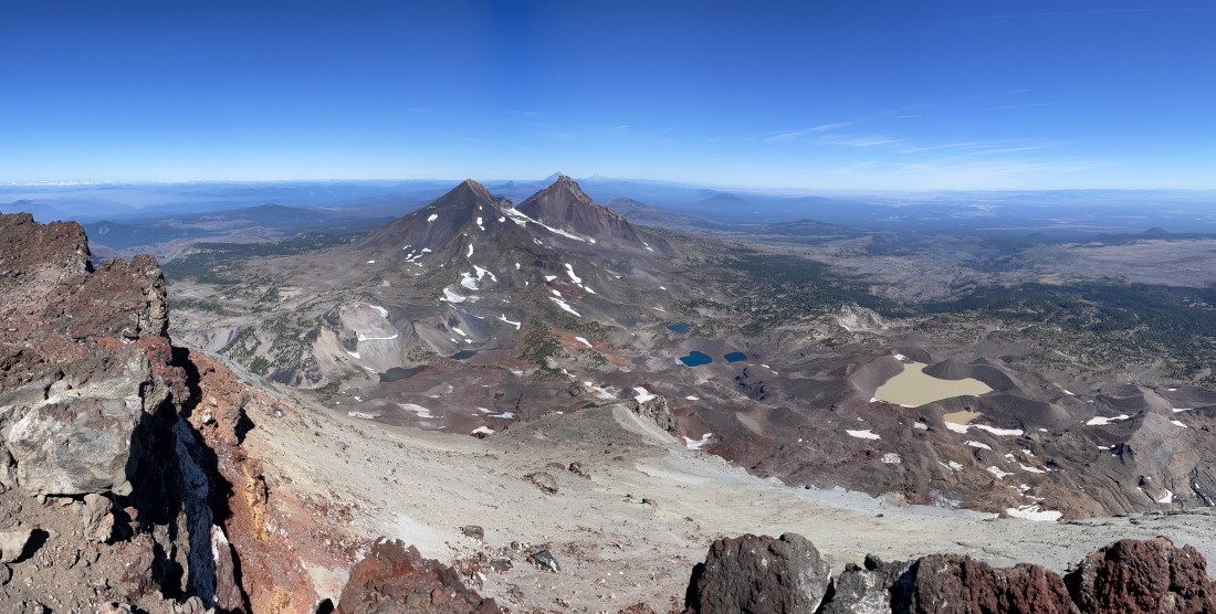
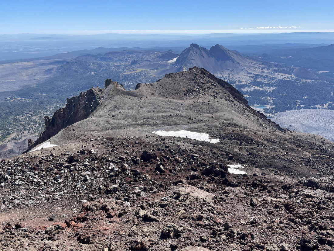
Looking north as I leave the summit area and continue circumnavigating the crater rim.
|
Continuing to circumnavigate the South Sister Crater rim.
|
Continuing to circumnavigate the South Sister Crater rim.
|
Continuing to circumnavigate the South Sister Crater rim... with the Teardrop Pool in the center of the photo.
|
|
Time to leave the crater rim and trace my steps back to the car.
|
Tracing my steps back to the car.
|
Almost back down to the 1.5 mile flatish area that sits above Moraine Lake.
|
So nice to be back on the flatish area above Moraine Lake... with Mount Bachelor on the left horizon.
|
Getting ready to leave the flatish area... and reenter the woods that will get me back to the car in 2 more miles of hiking. The total hike was 12 miles, gaining 5,038 feet of elevation.
|
