Ball Butte and Moon Mountain - 10.4.2023
|
From Cascade Lakes Hwy I turned onto FS Road 370... then drove a half mile to the parking area for Todd Lake. It was 36 degrees at 8:00 am and I was the second car in the parking area... and there were at least 30 cars when I returned at 2:00 pm... that is Mount Bachelor on the horizon.
|
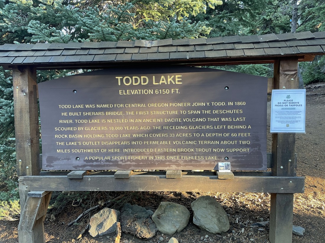
Some history on Todd Lake.
|
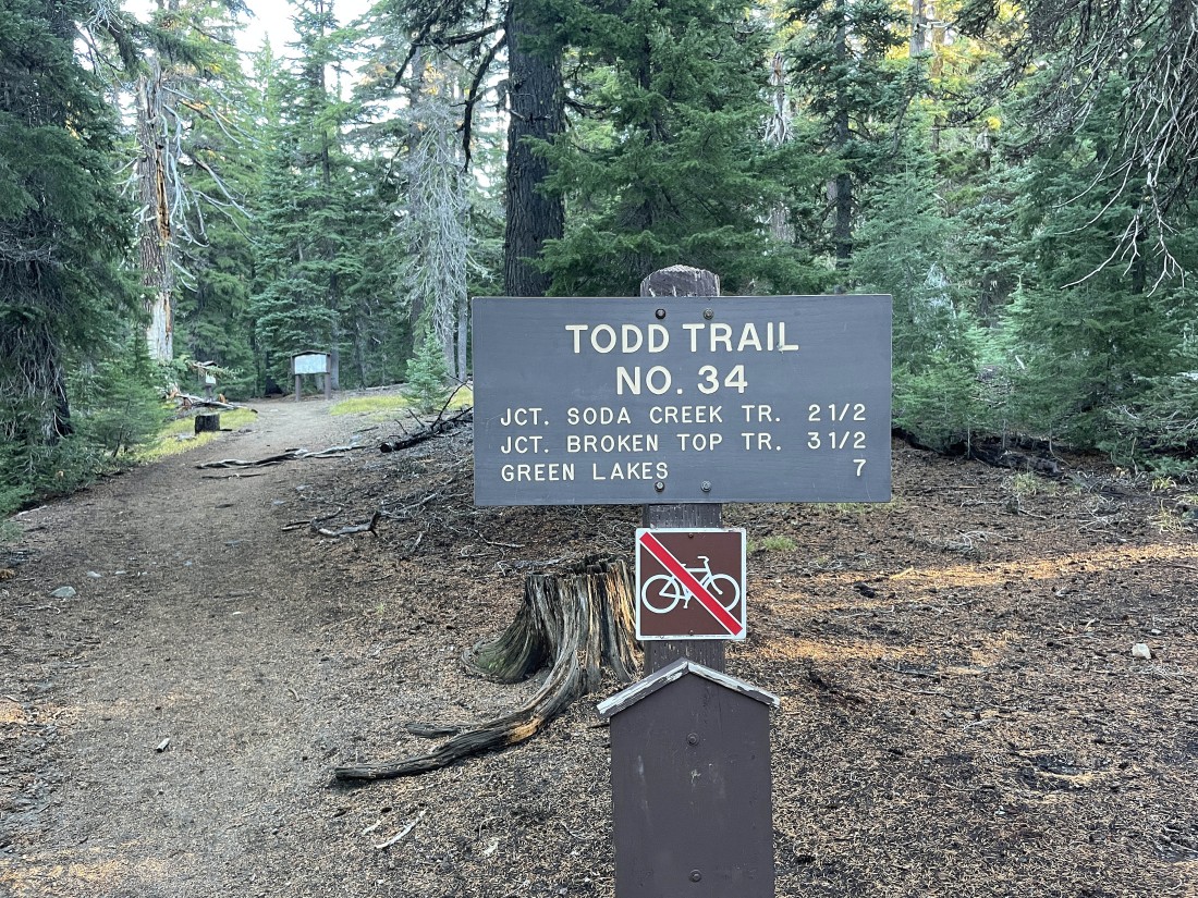
After hiking .2 miles from the parking area I will begin hiking on Todd Trail #34.
|
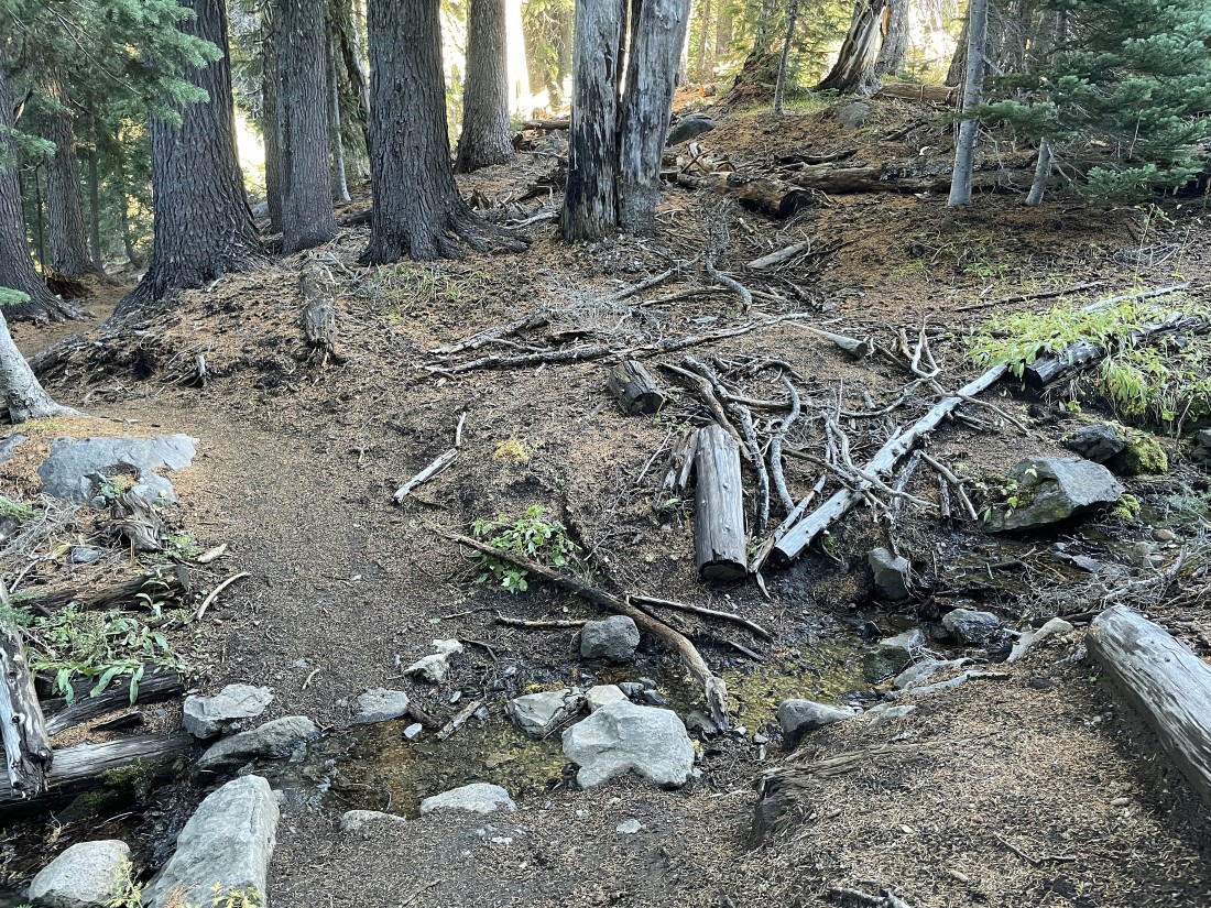
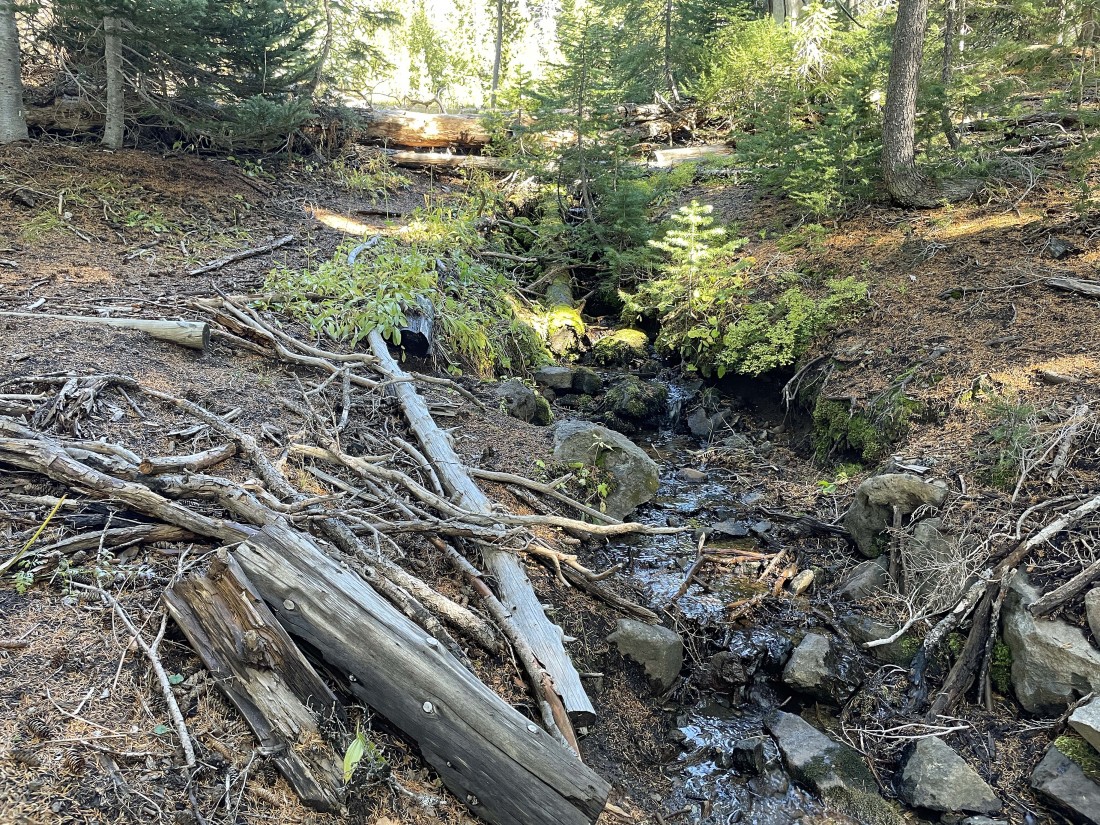
After hiking a total of .9 miles I will leave Todd Trail #34 and head cross country where a tiny stream crosses the trail... and note that there might not be any water here in warmer months.
|
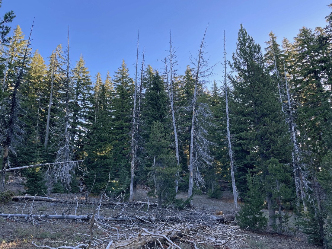
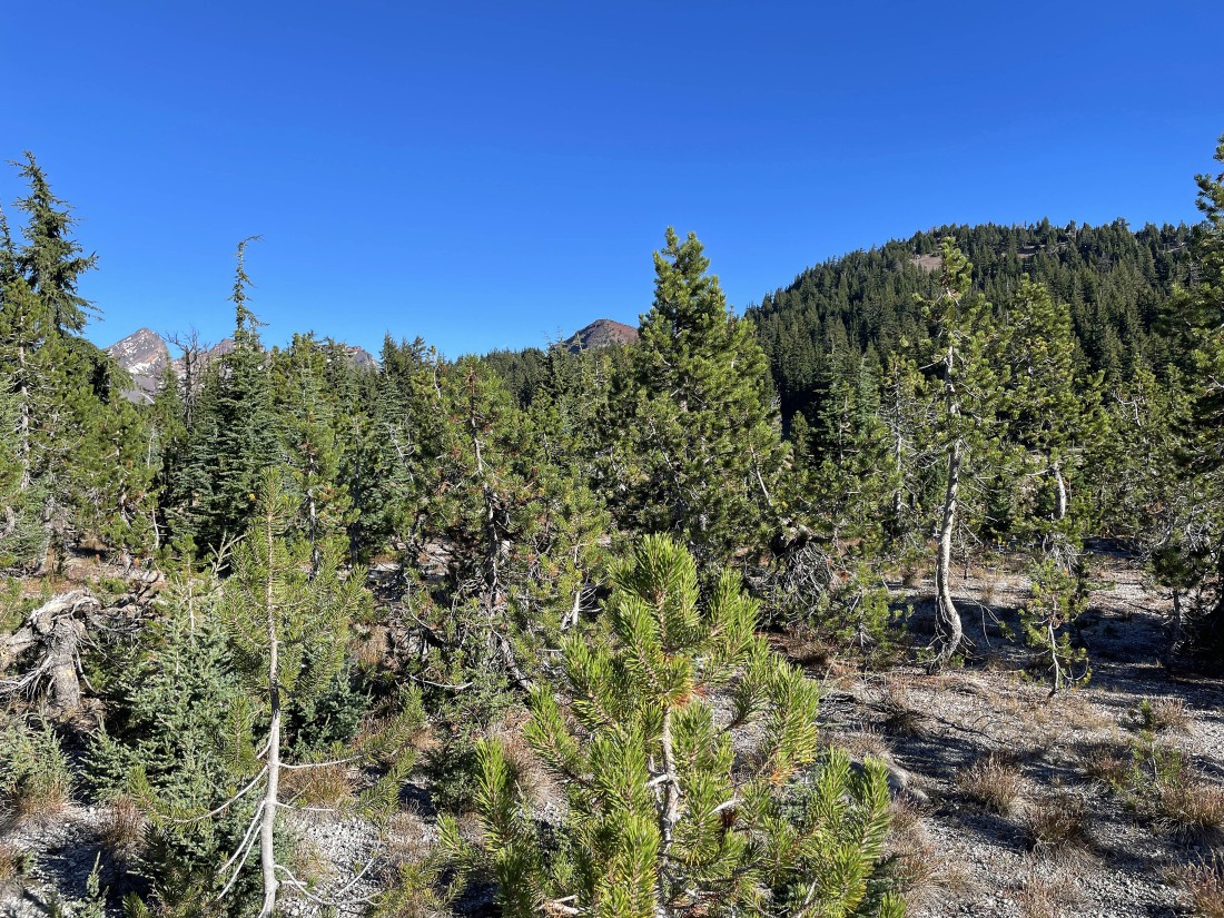
The cross country terrain on this hike was pretty much in the open.
|
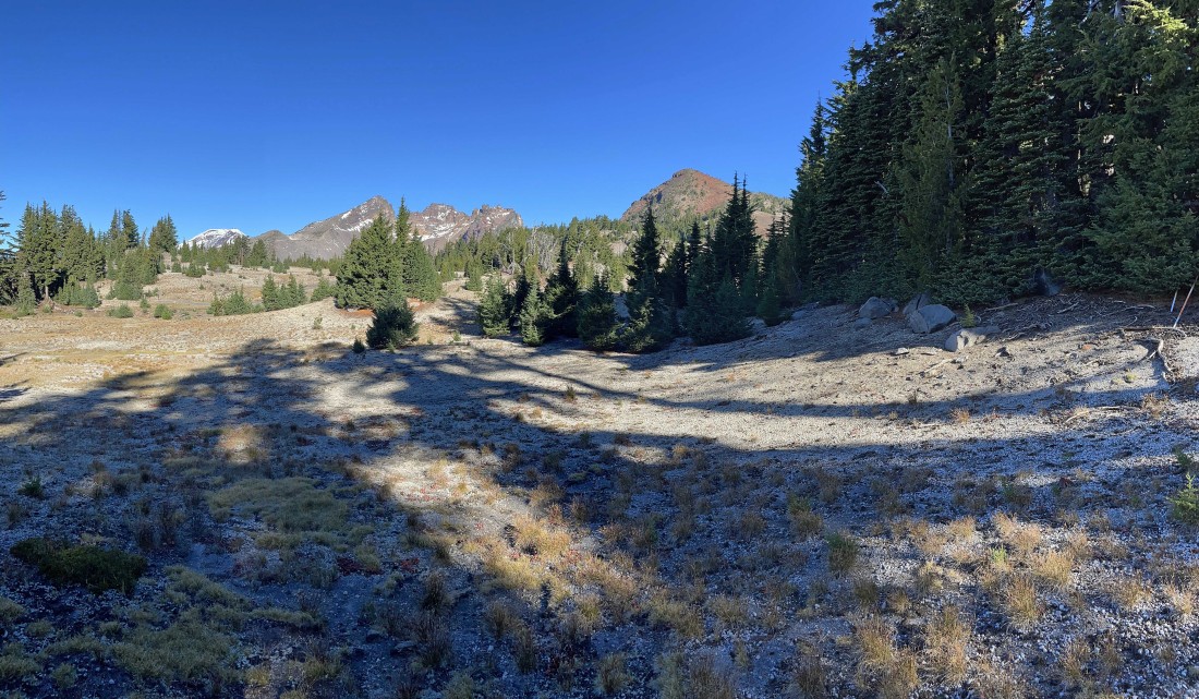
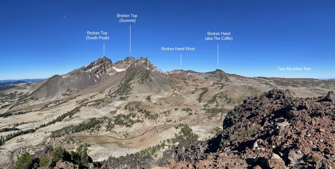
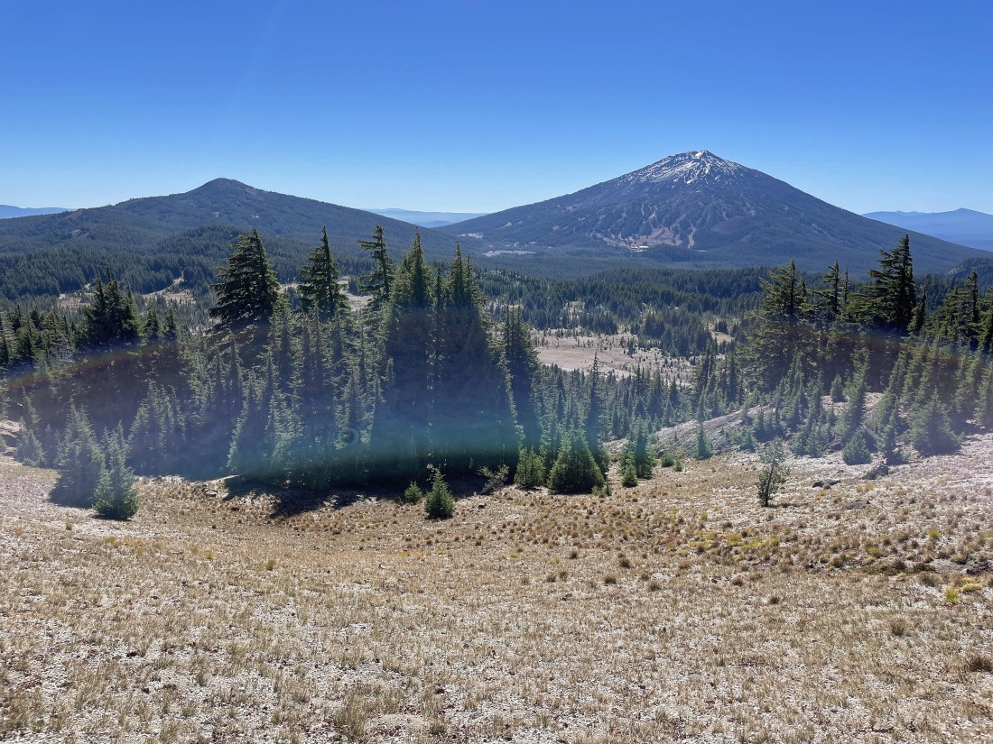
After hiking a total of 2.3 miles I got this view of Moon Mountain in the right foreground... with the top of Ball Butte in the center of the photo... and Broken Top on the far left horizon.
|
I'm hiking around the west side of Moon Mountain now... heading for Ball Butte in the right center of the photo... with South Sister and Broken Top in the distance on the left.
|
I have passed by Moon Mountain and beginning to gain elevation on my way up to Ball Butte.
|
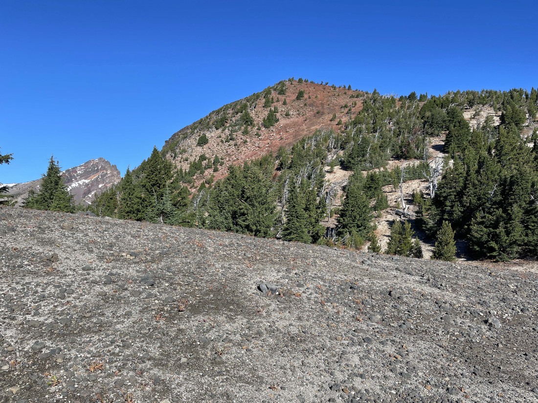
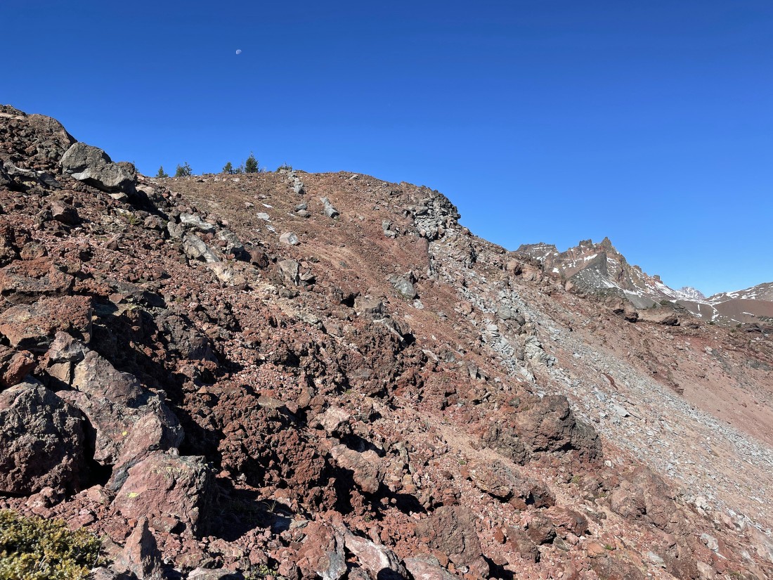
Working my way up the south side of Ball Butte... with Broken Top on the left horizon.
|
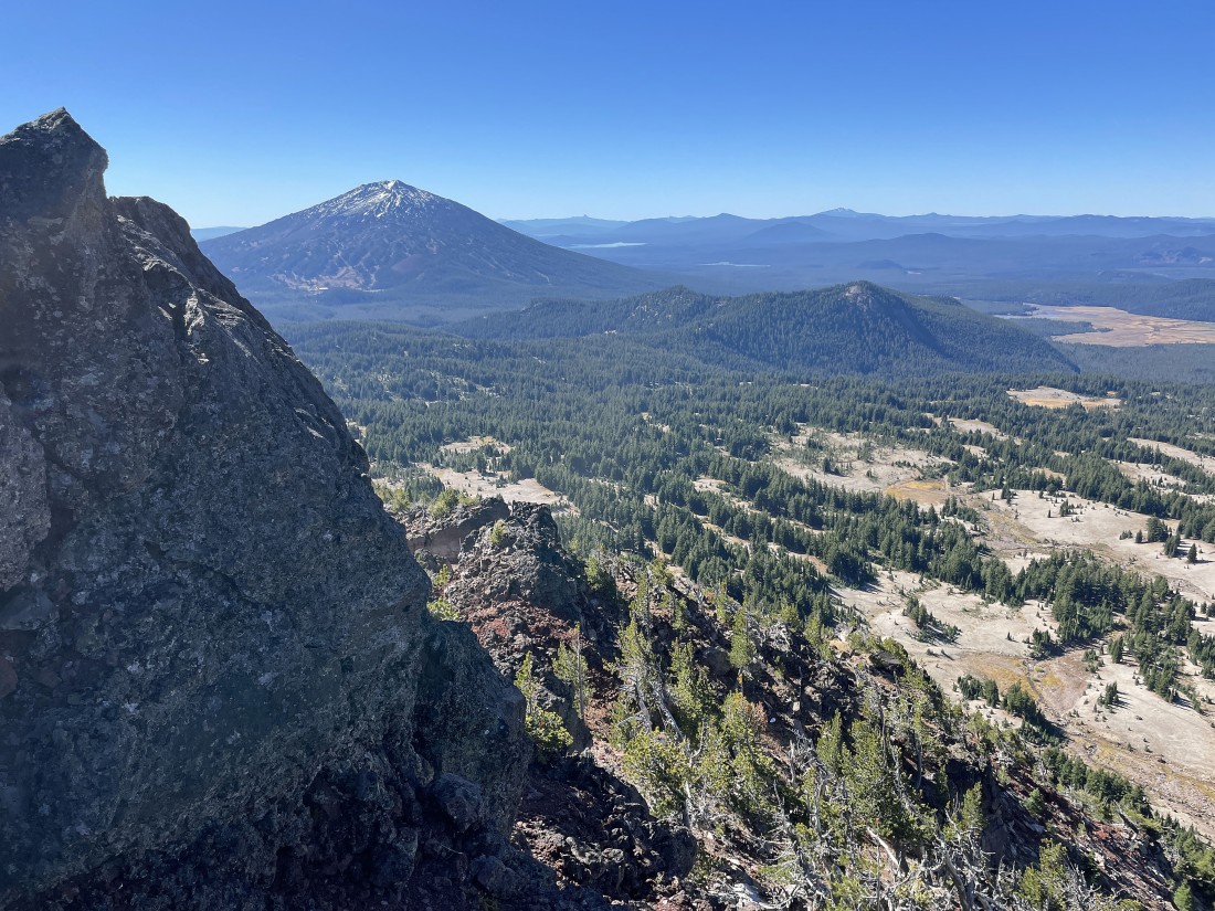
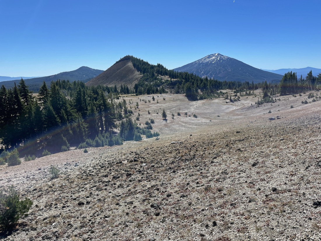
Gaining elevation on the south side of Ball Butte... here looking back at Moon Mountain in the foreground... with Tumalo Mountain to the left of Moon Mountain... and Mount Bachelor to the right of Moon Mountain.
|
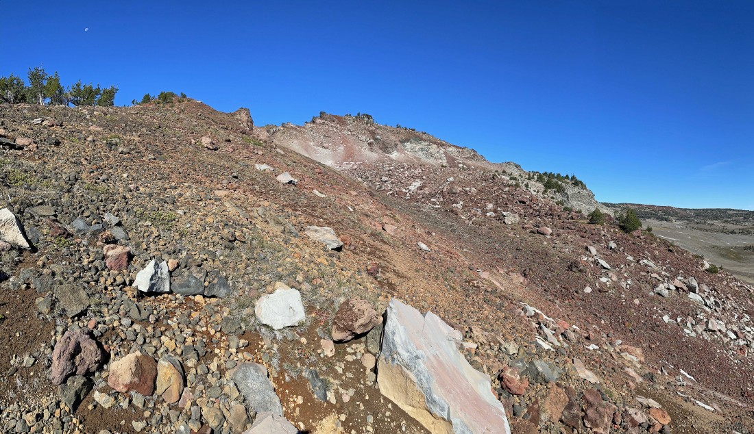
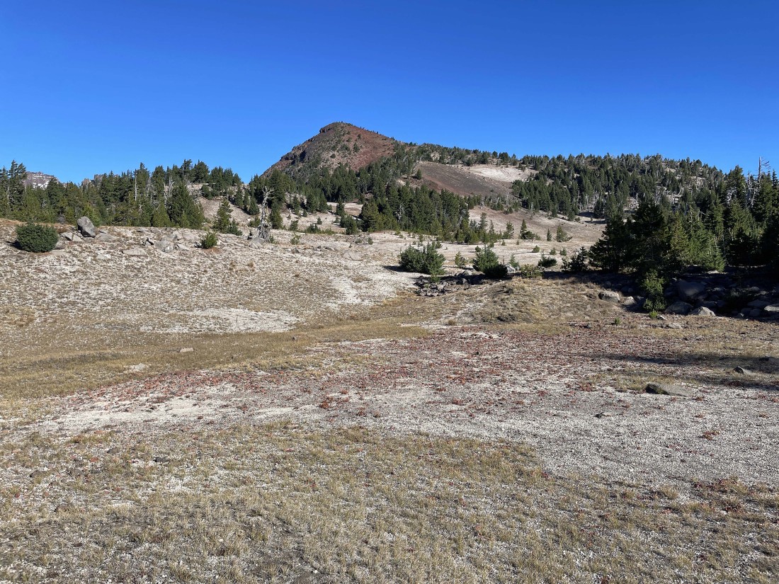
Gaining elevation on the south side of Ball Butte... but I still can't see the summit which is over there in the right center of the photo.
|
Working my way around the east side of Ball Butte looking for a good place to gain the last 300 feet of elevation up to the summit.
|
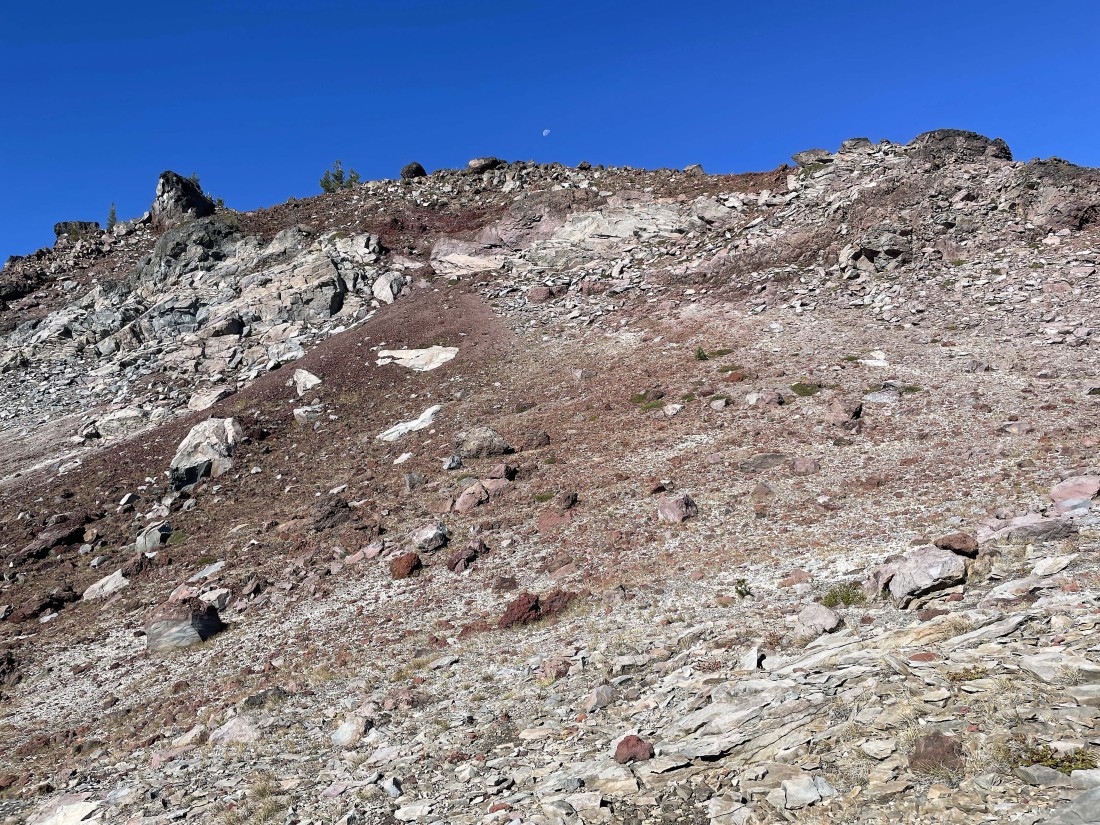
Now working my way up the last 300 feet of elevation to the summit of Ball Butte.
|
Working the last 300 feet of elevation gain up to the summit of Ball Butte.
|
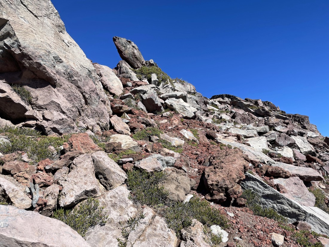
Almost up to the summit of Ball Butte up there in the middle of the photo... with Broken Top and North Sister out there on the right horizon.
|
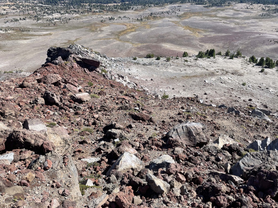
After hiking a total of 3.9 miles I am standing on the 8,091 foot summit of Ball Butte... looking north.
|
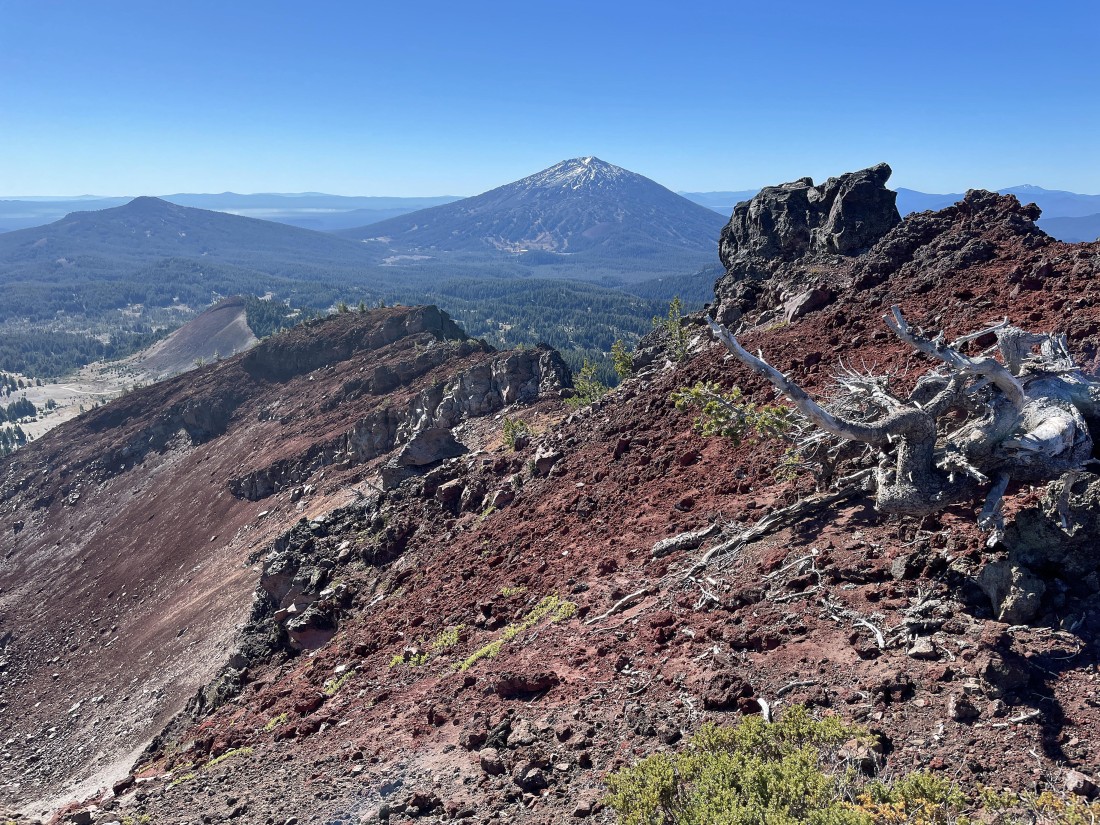
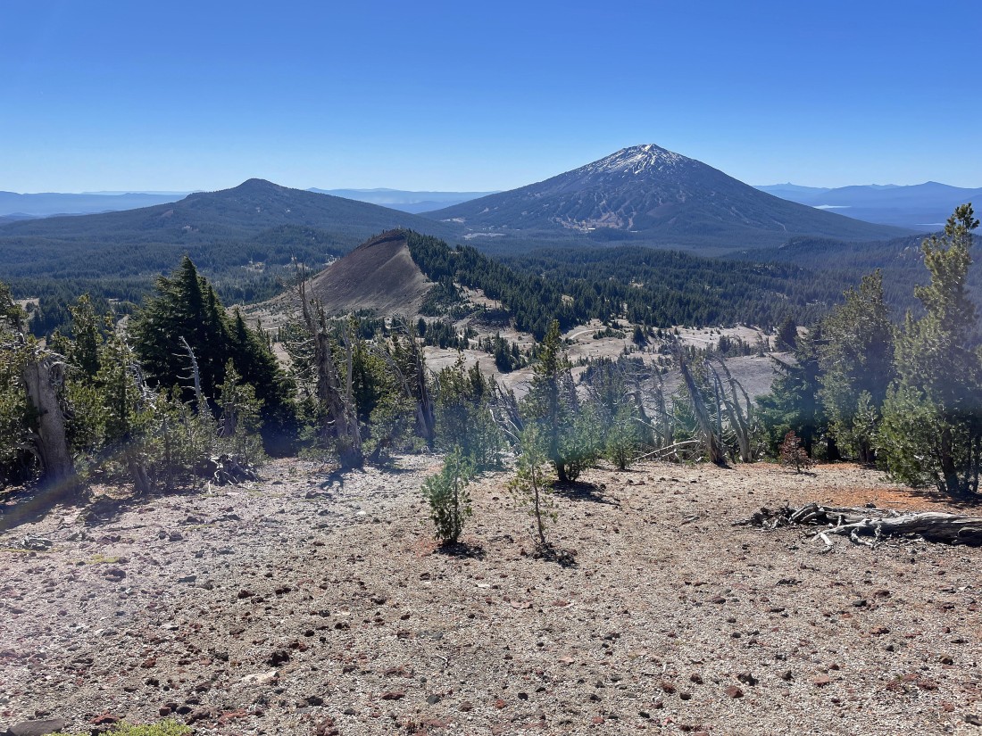
From the summit of Ball Butte I decided to hike south a short distance back along the summit area to a rock formation that I call the 'Toadstool'... with Tumalo Mountain and Mount Bachelor out there in the distance.
|
Standing next to the 'Toadstool'... looking south to Mount Bachelor.
|
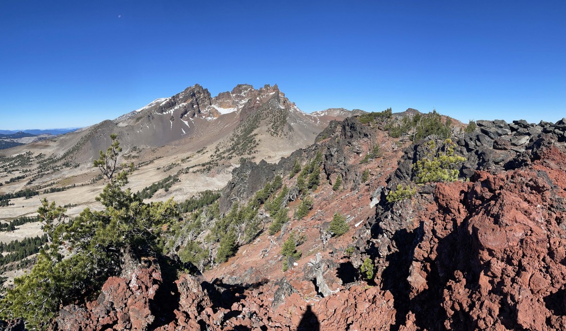
Standing at the 'Toadstool'... looking back at the Ball Butte summit and Broken Top.
|
Leaving the Ball Butte summit area and heading back down the east side... more or less tracing my steps.
|
Leaving Ball Butte and heading back down... heading for Moon Mountain in the foreground.
|
Reeling in Moon Mountain.
|
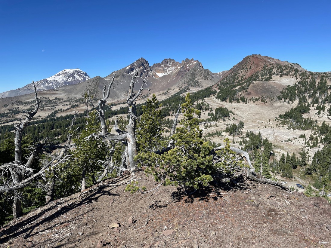
After hiking a total of 5.2 miles I'm standing on the 7,459 foot summit of Moon Mountain... looking north to South Sister (far left)... Broken Top (middle)... and Ball Butte on the right.
|
Leaving the summit of Moon Mountain and heading back toward Todd Lake.
|
After hiking a total of 7.1 miles I am back where the tiny stream meets Todd Trail #34... leaving a .9 mile trail walk back to the car. The hike was a total of 8 miles, gaining 2406 feet of elevation.
|
