Silver Peak - 10.13.2023
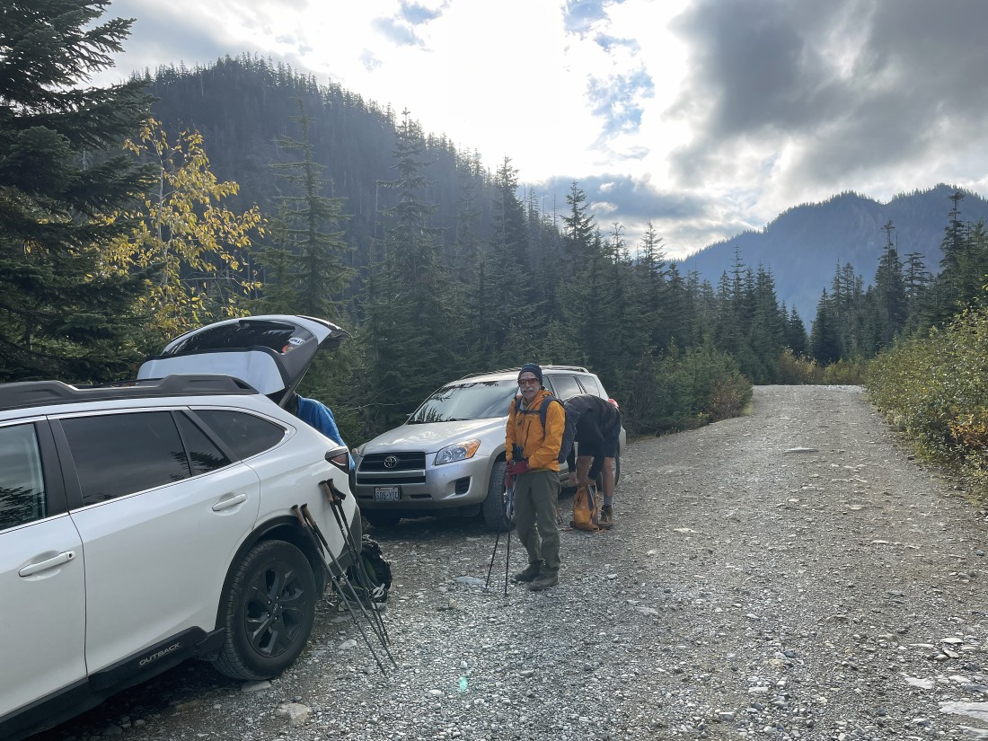
We took Exit 54 on I-90 (aka the Hyak Exit)... then drove south on Hyak Drive E. for one mile where we joined Forest Service Road 9070... then drove 9070 for 4.3 miles and parked where the Pacific Crest Trail crosses the road.
|
From where we parked we began hiking south on the Pacific Crest Trail... there is not a sign indicating that it is the PCT.
|
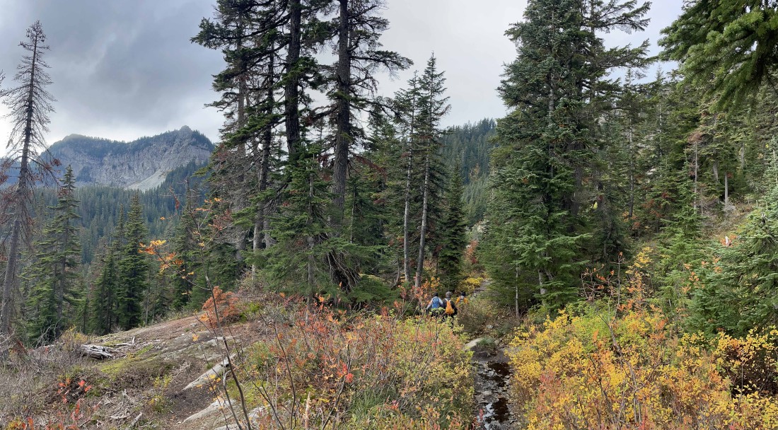
Continuing to hike south on the PCT... with Tinkham Peak on the left horizon.
|
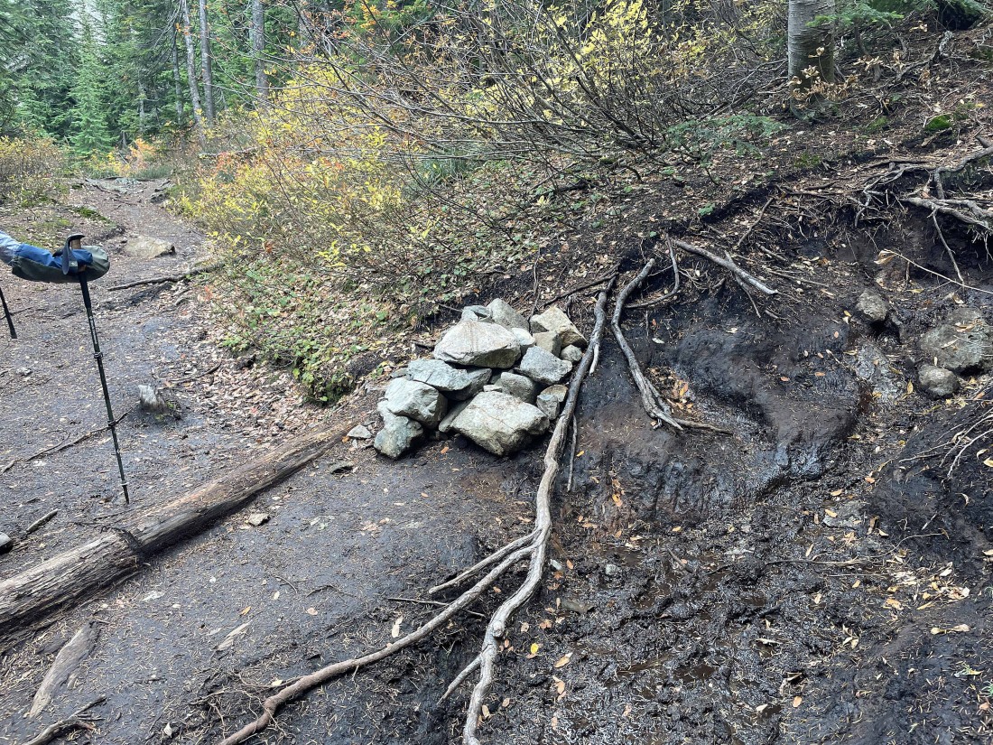
After hiking the PCT for 1.85 miles we will leave the PCT at this obvious cairn and start hiking on the Silver Peak Trail. Note that there isn't an official trail sign here... just the pile of rocks and an obvious path.
|
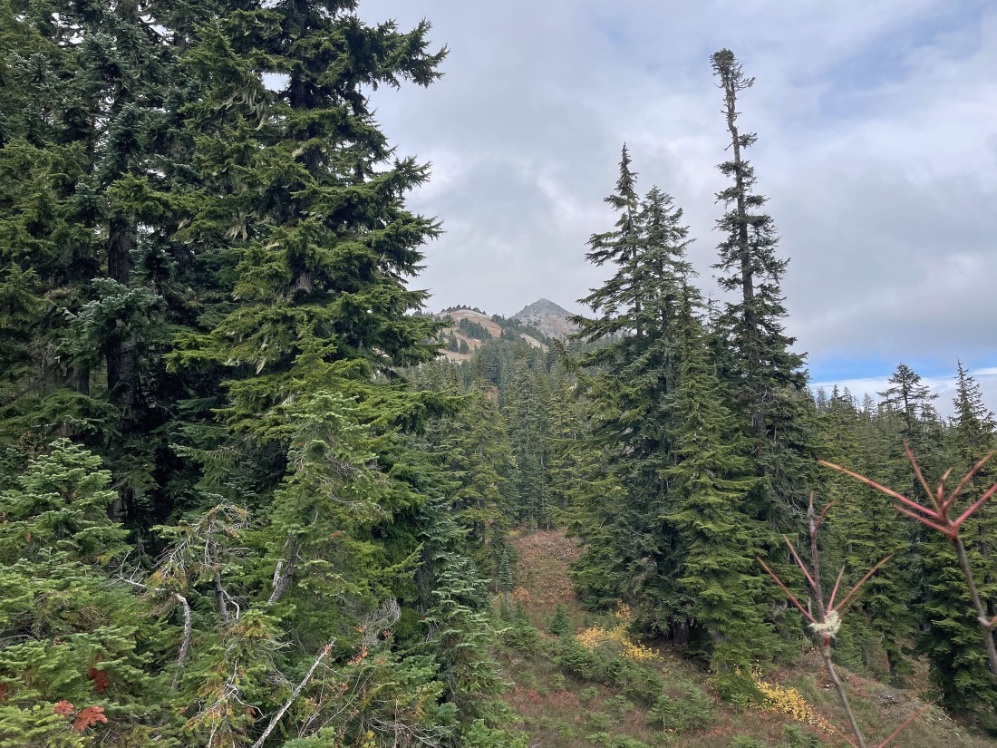
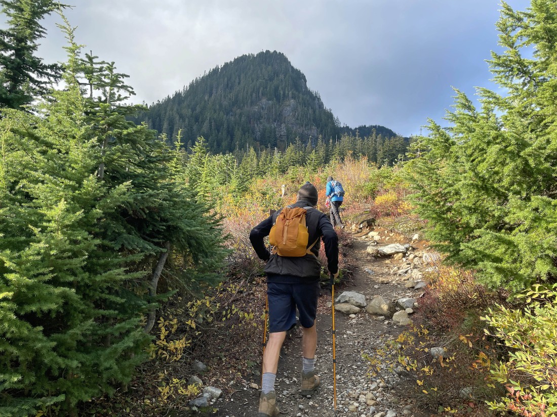
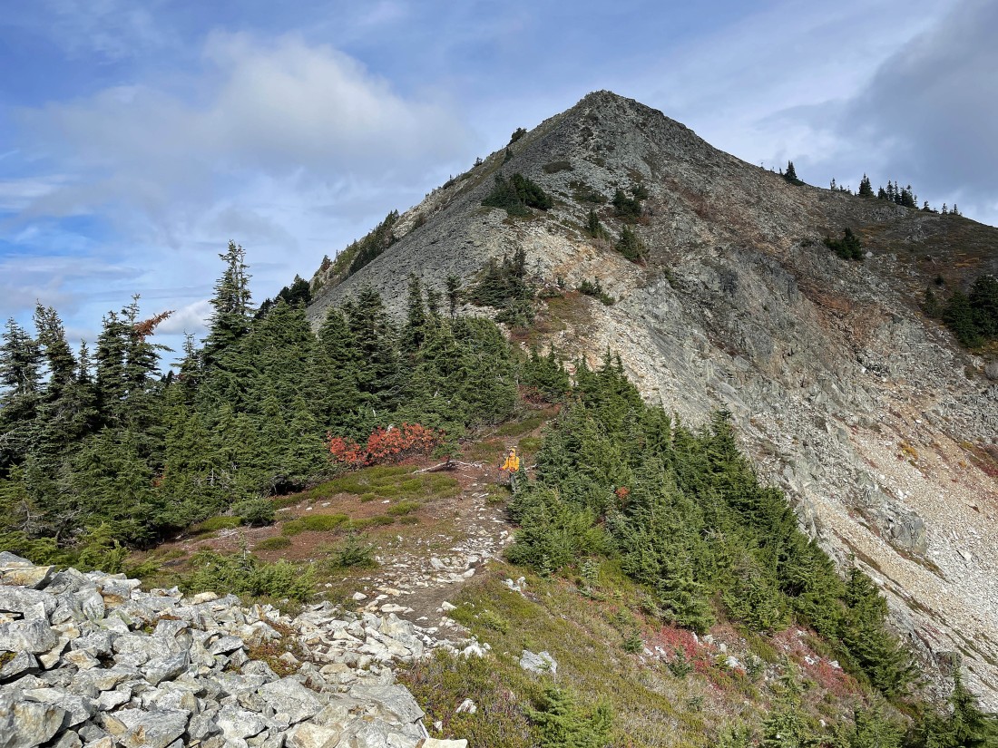
After hiking on the Silver Peak Trail for approximately a half mile we got our first clear view of Silver Peak.
|
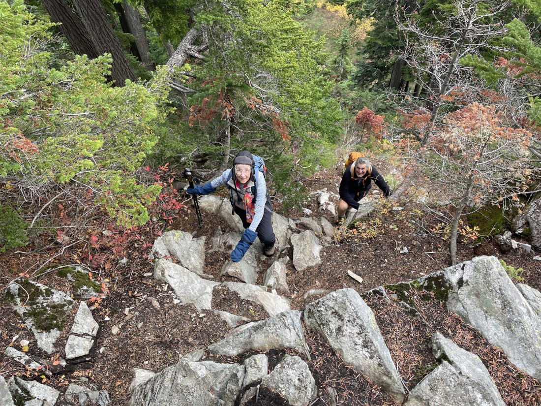
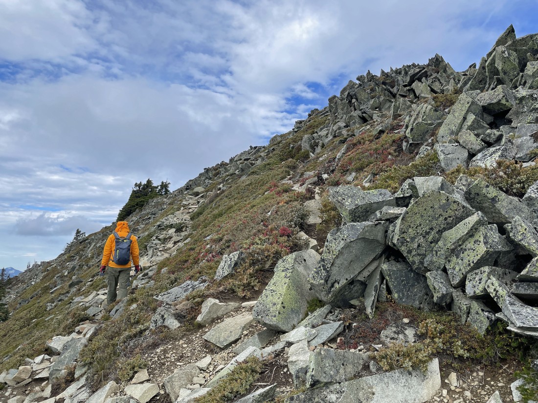
The trail is very steep in places.
|
iraman leads the way as we leave the forest and head for the summit above.
|
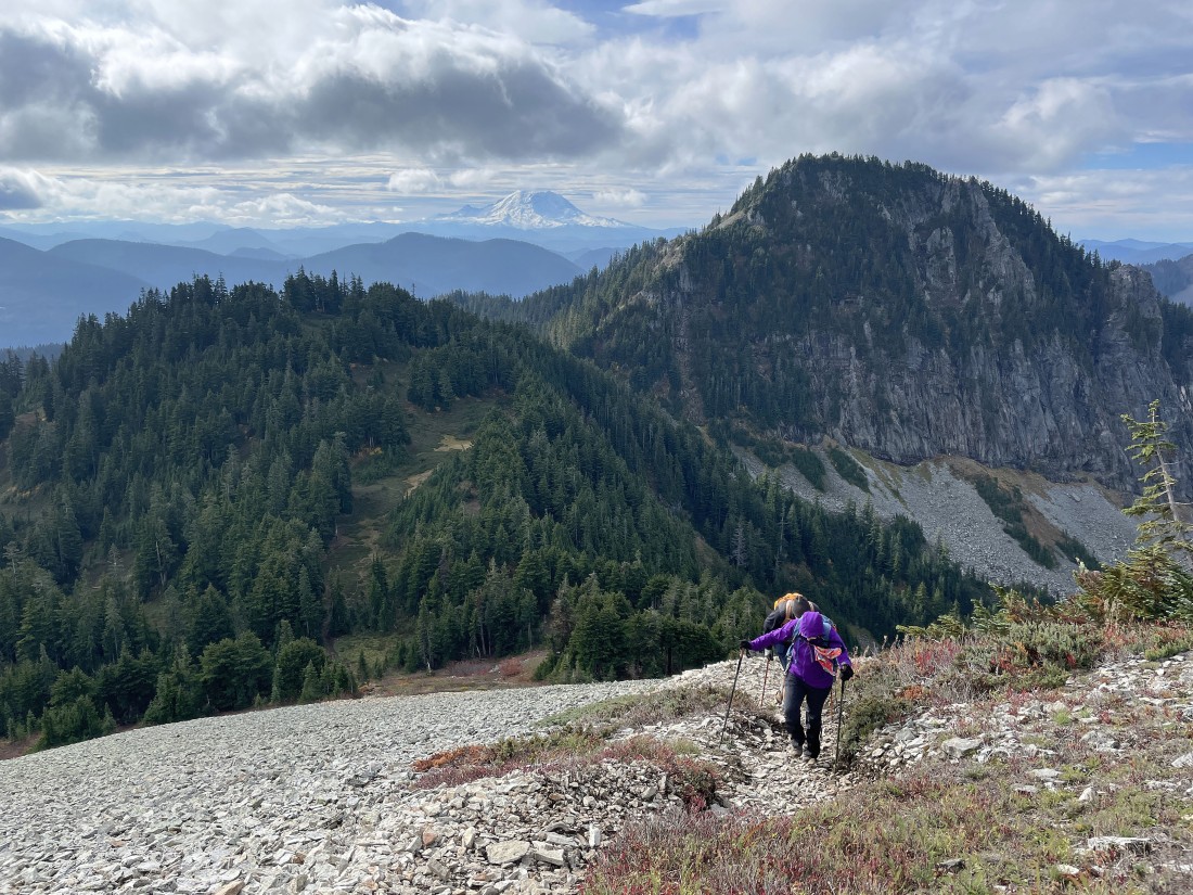
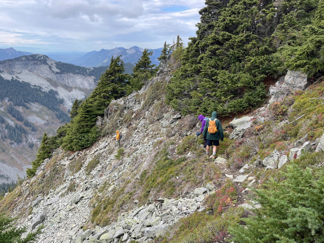
Gaining elevation on the south side of Silver Peak... looking back as Frank and Denali Girl are heading up... with Abiel Peak on the right.
|
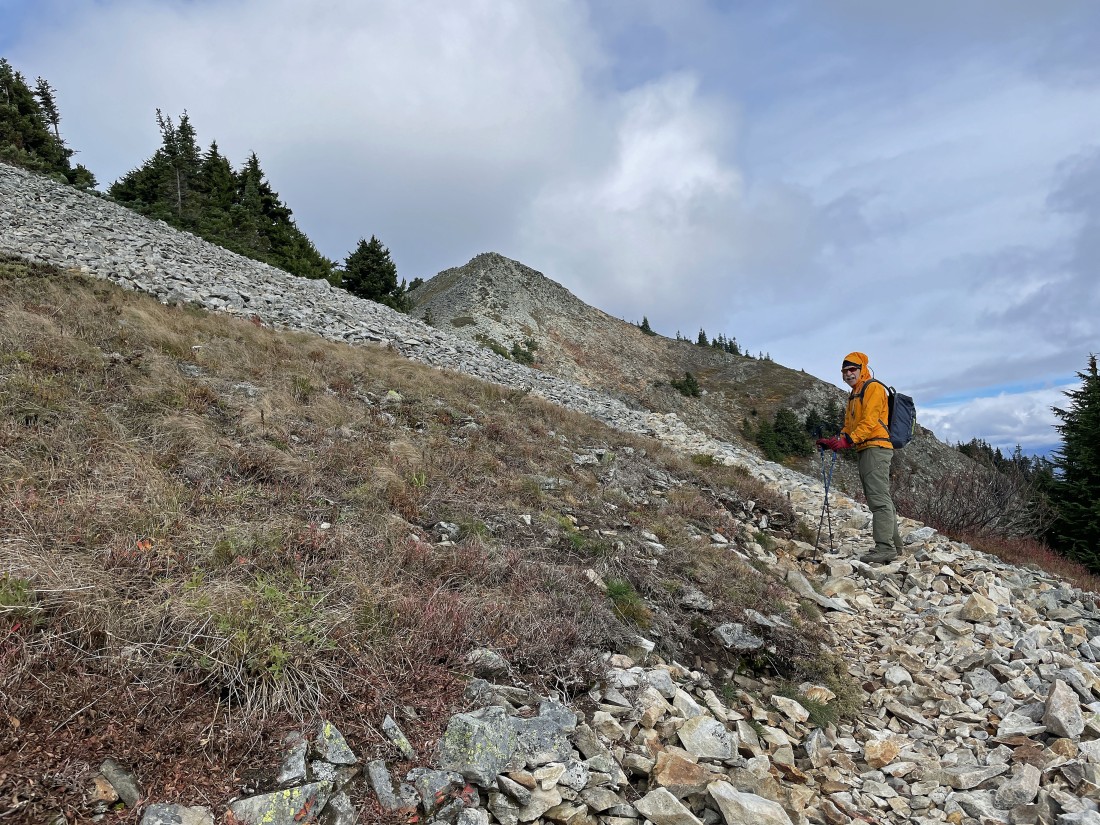
Reeling in the summit of Silver Peak above... it is very windy... with gusts of 30 MPH.
|
Looking back at Frank and Denali Girl as they gain elevation on the south side of Silver Peak. Tinkham Peak and Abiel Peak are named after Lieutenant Abiel W. Tinkham... a railroad surveyor who explored the Snoqualmie Pass area in 1853 and 1854.
|
Still gaining elevation on the south side of Silver Peak... with Tinkham Peak on the far left.
|
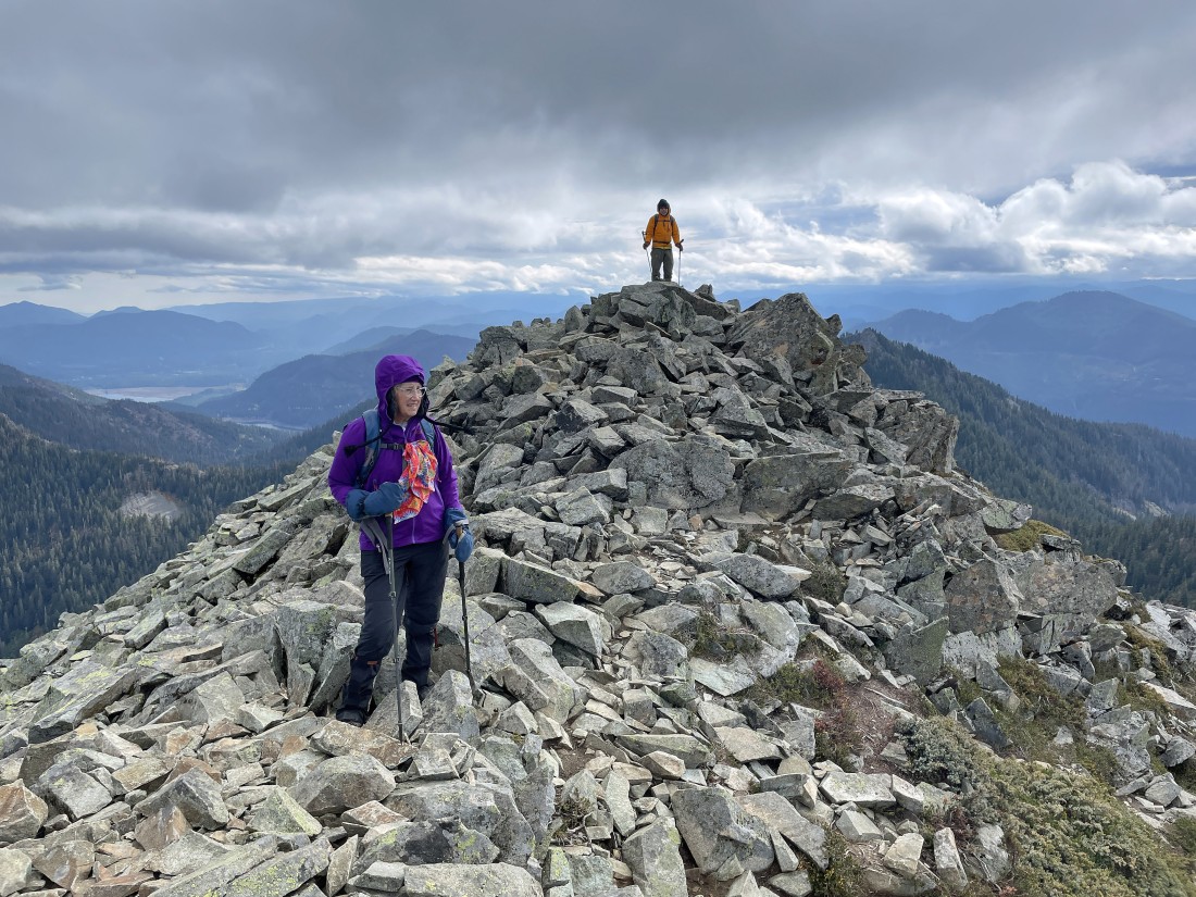
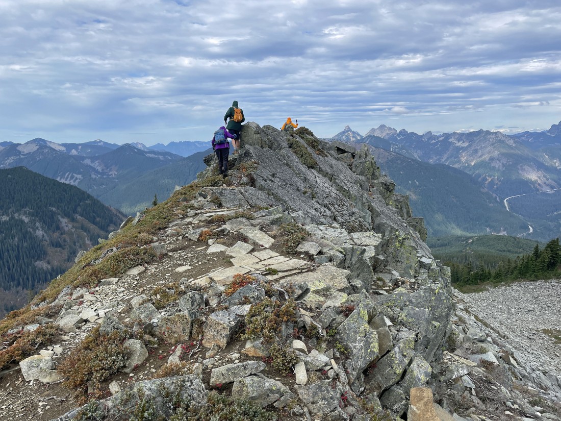
iraman is very close to the Silver Peak summit as the terrain eases some in the last 100 feet of elevation gain.
|
Nearing the Silver Peak summit and looking down on Annette Lake.
|
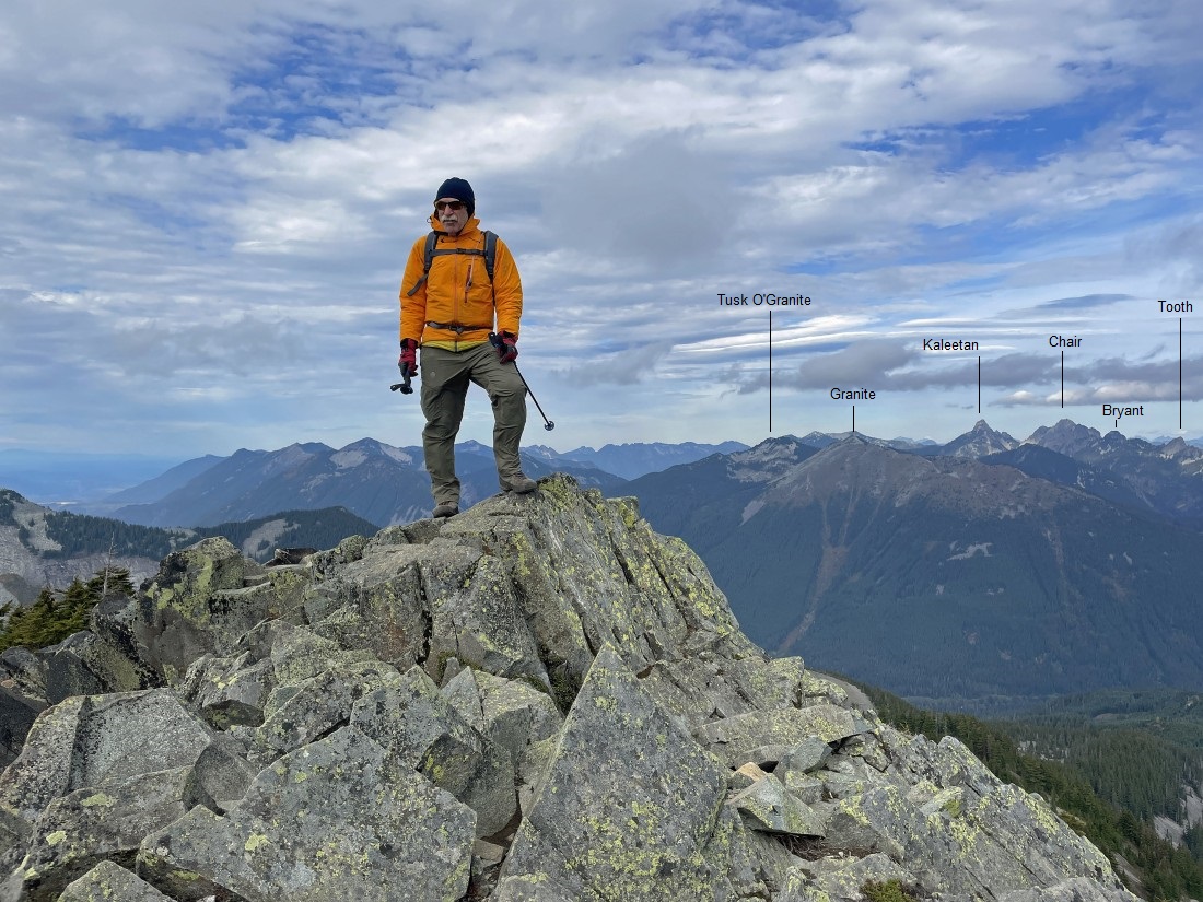
After hiking a total of 3.1 miles iraman stands on the summit (5605 feet) of Silver Peak.
|
Denali Girl and iraman on the summit of Silver Peak.
|
|
From the Silver Peak summit I am looking NW (left) to the East (right).
|
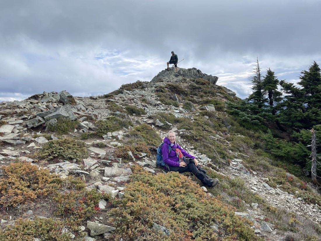
Denali Girl relaxes as Frank enjoys the Silver Peak summit.
|
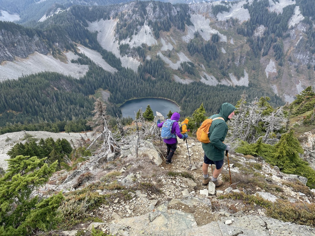
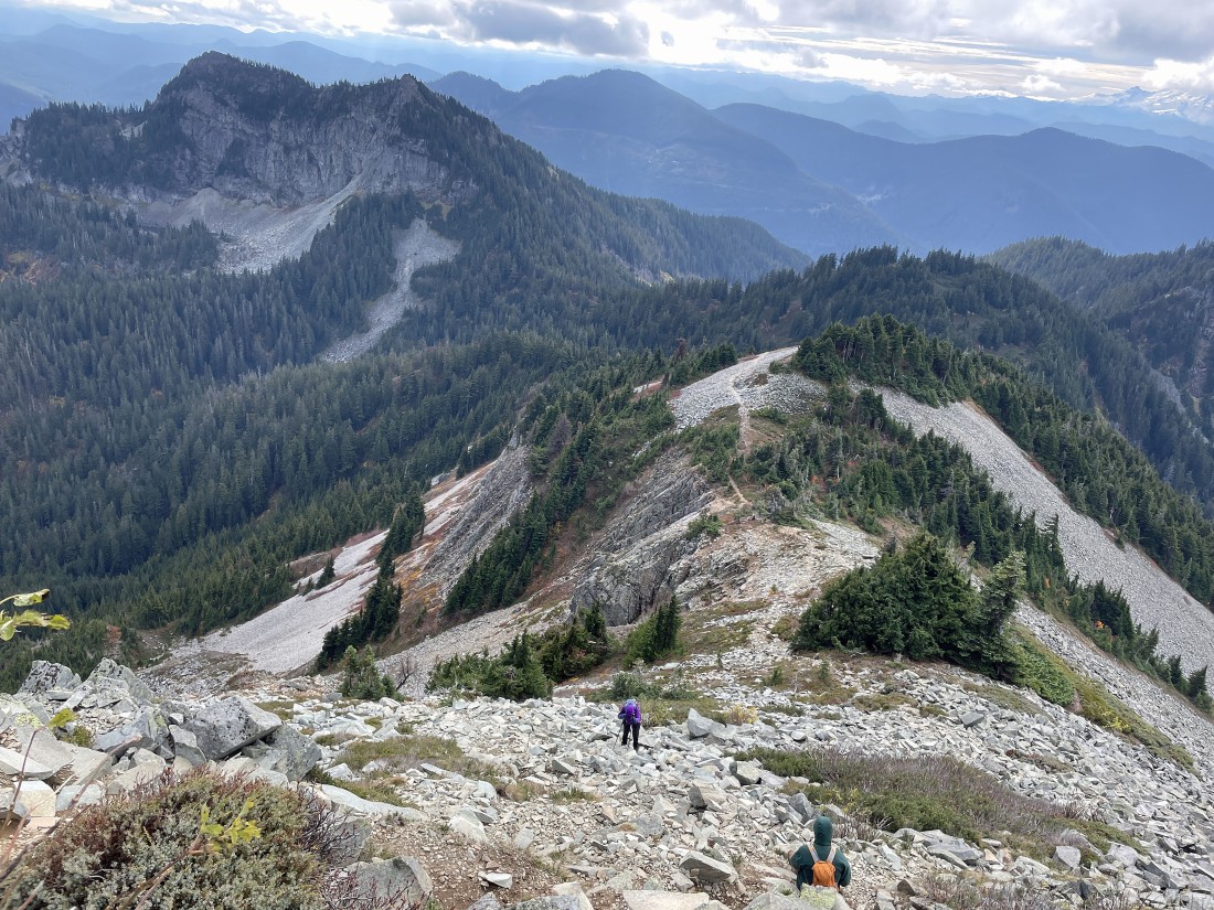
We decided to make our trip a loop hike... leaving the summit and hiking north on a faint path... here looking down on Annette Lake.
|

Continuing to hike north on the faint path... we will eventually get down to Olallie Meadow where we parked.
|
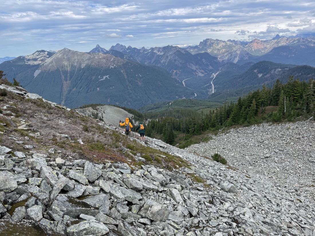
Continuing to hike north along the faint path... with Humpback Mountain in the left foreground and McClellan Butte beyond it on the horizon.
|
After hiking a quarter-mile along the faint path from the summit we are preparing to work our way down to the rocky basin on the north side of the Silver Peak summit.
|
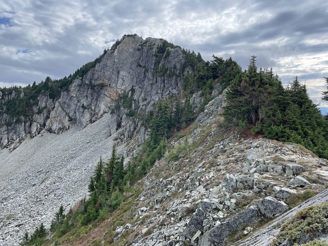
Looking back at the Silver Peak summit and getting ready to drop down into the basin on the peak's north side.
|
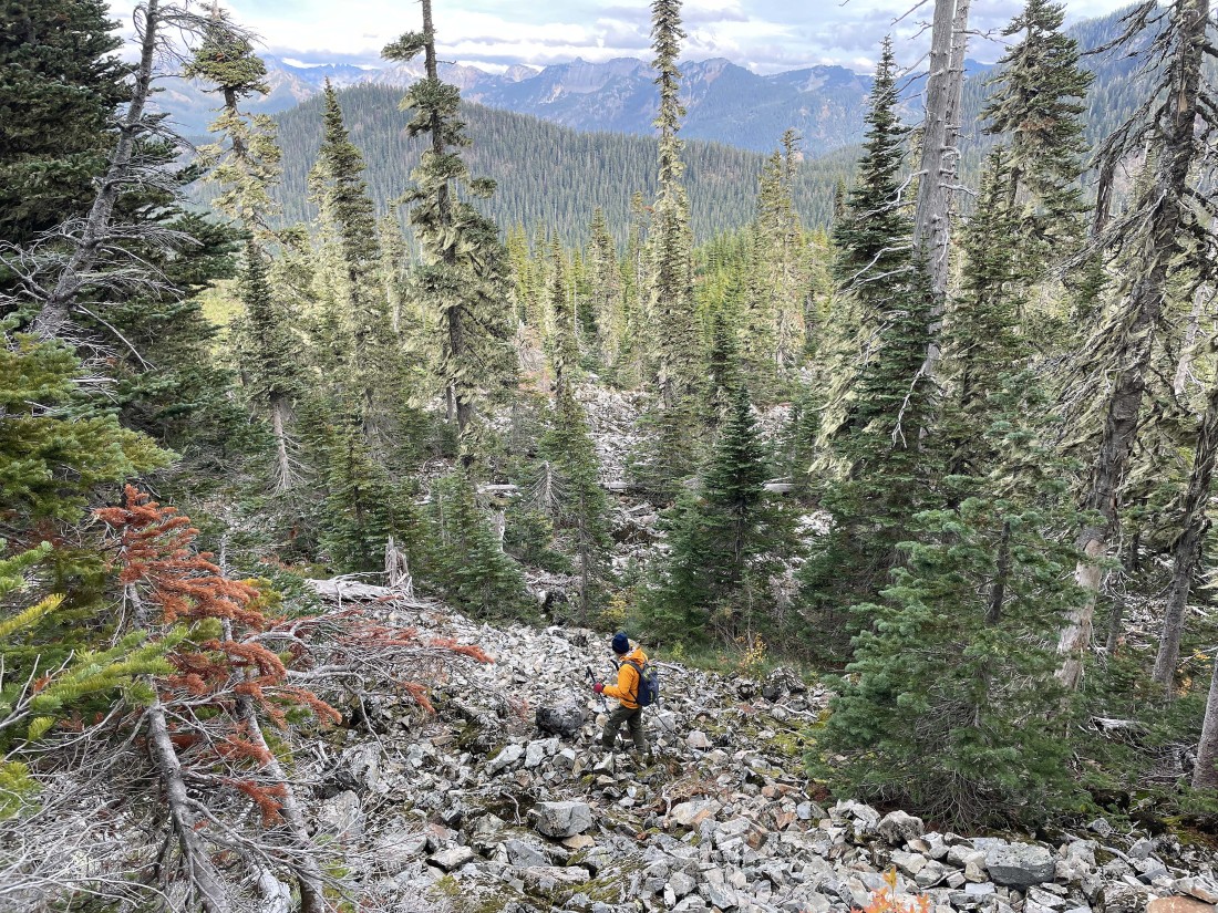
Heading down to the rocky basin on the north side of Silver Peak.
|
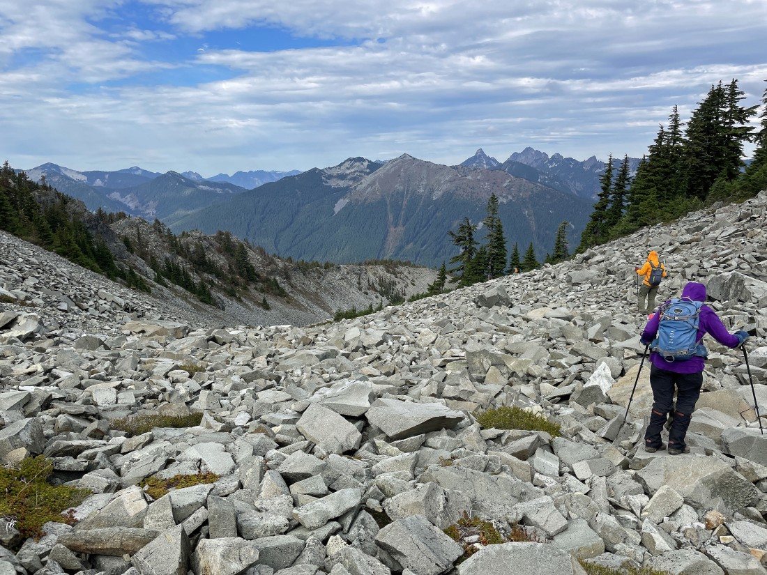
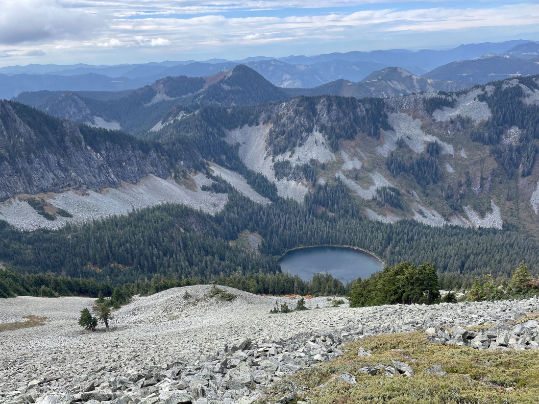
We have reached the rocky basin on the north side of Silver Peak... and will continue hiking north in search of Ollalie Meadow where we will find our car.
|
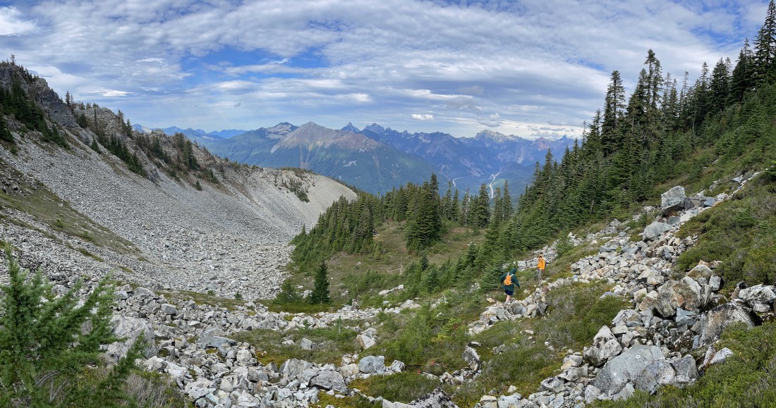
Continuing to hike north... and nice to find some terrain that is not so rocky.
|
Continuing to lose elevation below the rocky basin on the north side of Silver Peak.
|
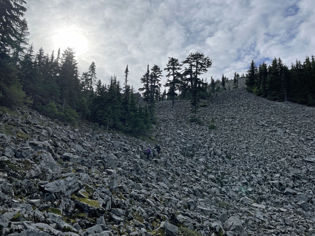
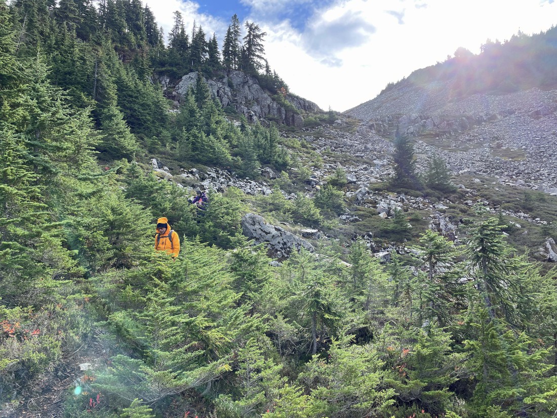
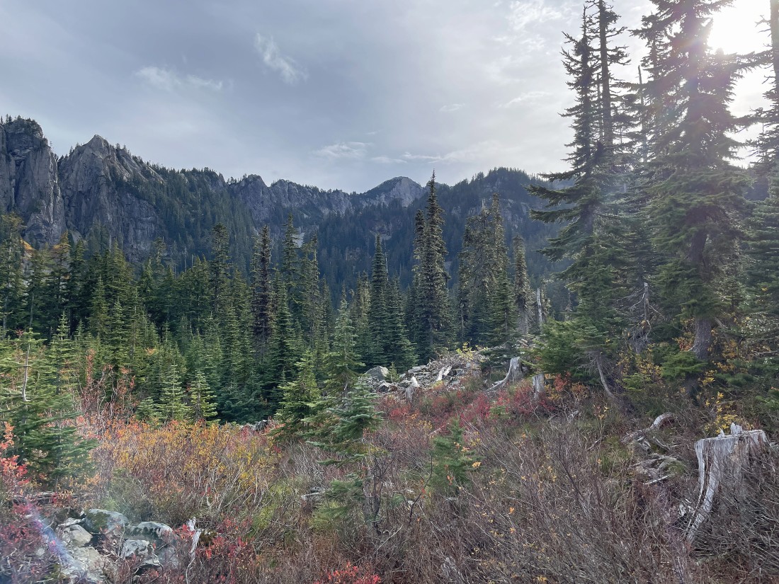
Ugh... we found more rocky terrain on our way down in search of Olallie Meadow.
|
In search of Olallie Meadow.
|
After hiking a total of 4.2 miles we have reached one of the roads in Olallie Meadow... here looking up at Silver Peak in the center of the photo.
|
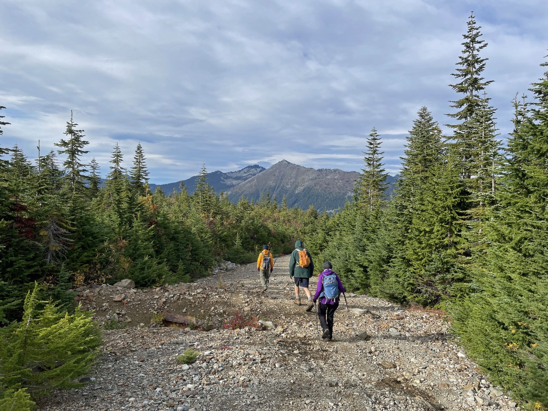
Nice to finally be on easier terrain... looking at a 1.1 mile road hike back to our car... the total loop hike was 5.3 miles, gaining 1925 feet of elevation.
|
