Bandera Mountain (west summit) - 10.19.2023
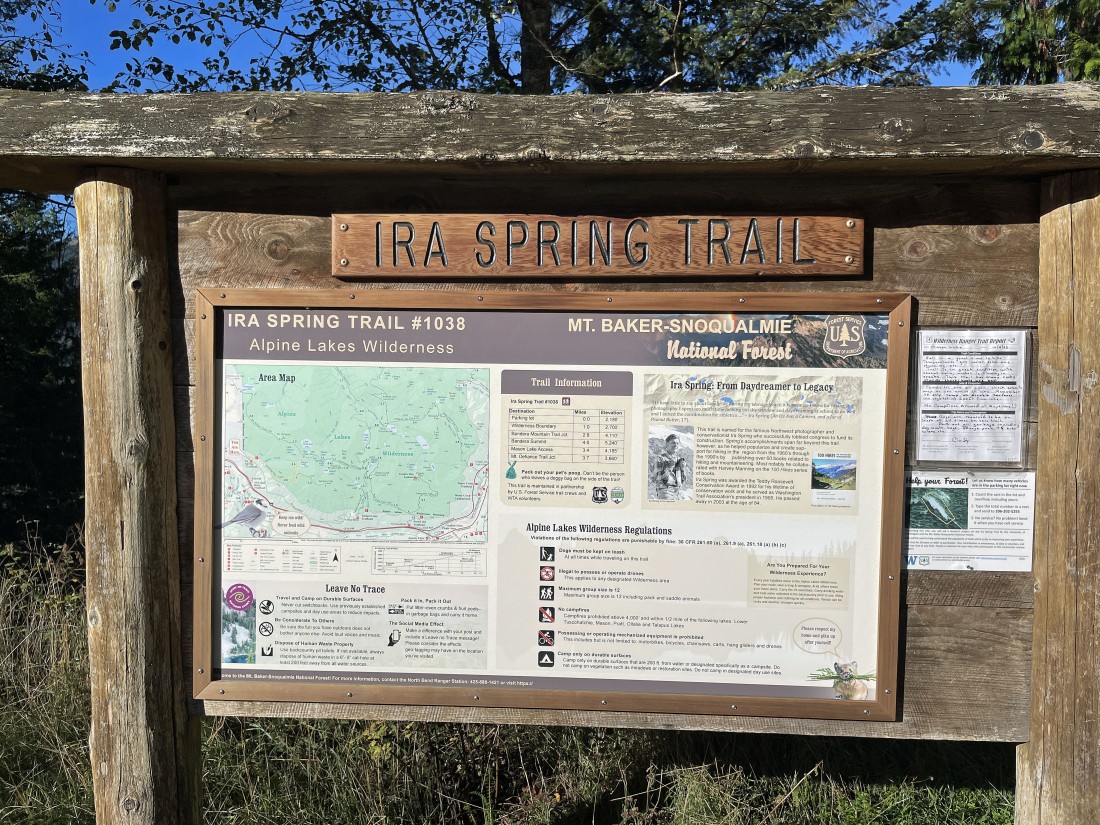
Take Exit 45 off of I-90... from the north side of the freeway turn left onto FS Road 9030 and drive it three-quarters of a mile to a 'Y'... then take FS Road 9031 on the left and continue 3.2 miles to the trailhead for Ira Spring Trail #1038.
|
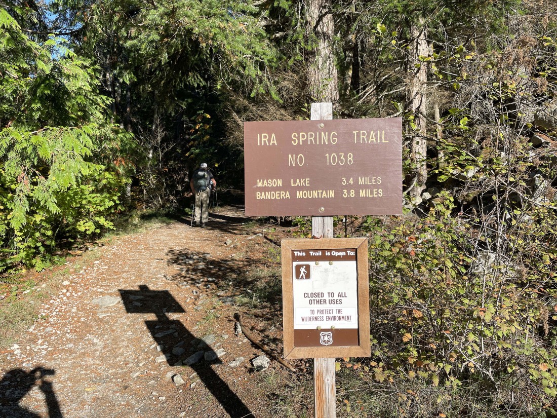
At the trailhead the sign says 3.8 miles to the summit of Bandera Mountain... but we will only go 3.4 miles to the west summit of Bandera Mountain.
|
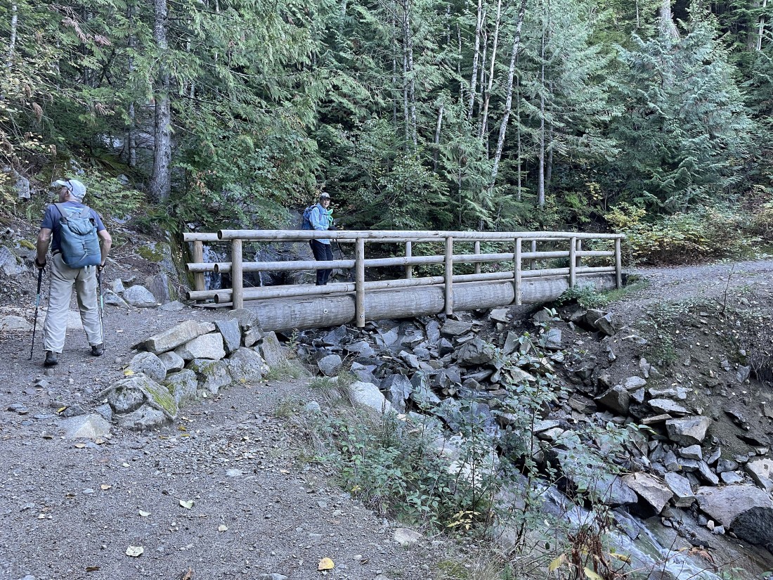
After hiking .8 miles we cross Mason Creek on a very nice bridge.
|
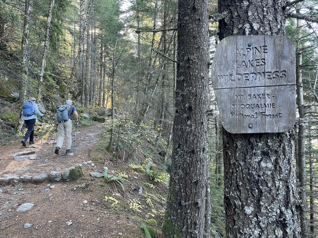
After hiking a total of one mile we enter the Alpine Lakes Wilderness.
|
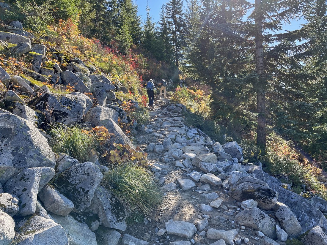
After hiking approximately two miles we have come out of the trees.
|
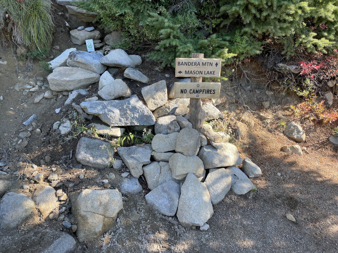
After hiking a total of 2.85 miles we have reached a junction with the Bandera Mountain trail... the Ira Spring Trail will continue on to Mason Lake... but we will head for the west summit of Bandera Mountain on very steep terrain.
|
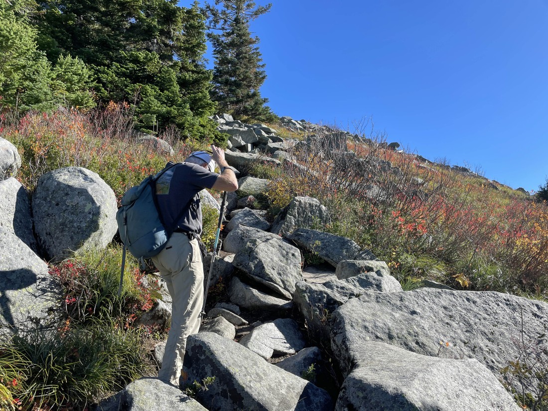
On very steep terrain heading for the west ridge of Bandera Mountain... Putrid Petes Peak is named after Pete Schoening... the mountaineer who made one of the most famous belays in mountaineering history... saving himself and 5 others from falling to their deaths at 25,000 feet on K2.
|
Looking across I-90 at mountains on the left.
|
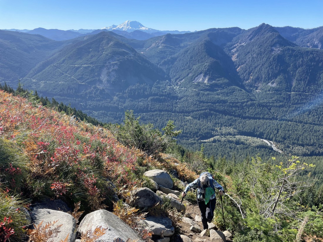
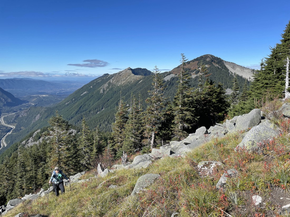
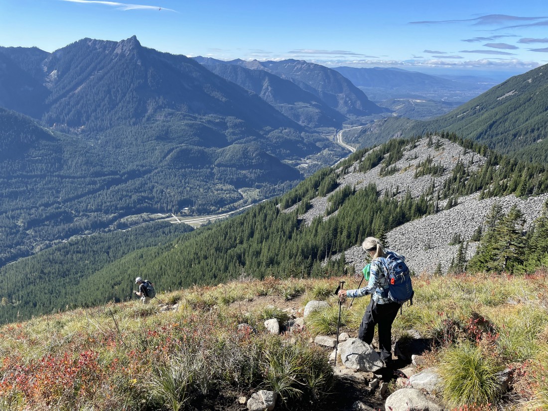
Denali Girl hiking up the very steep terrain... with Mount Rainier on the horizon.
|
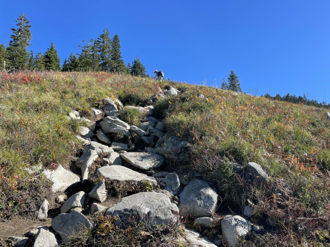
rocman has almost reached the west ridge of Bandera Mountain.
|
|
After hiking a total of 3.1 miles we have reached the west ridge of Bandera Mountain... and we just finished gaining 500 feet of elevation in the last quarter mile.
|
Now heading for the west summit of Bandera Mountain... still on very steep terrain.
|
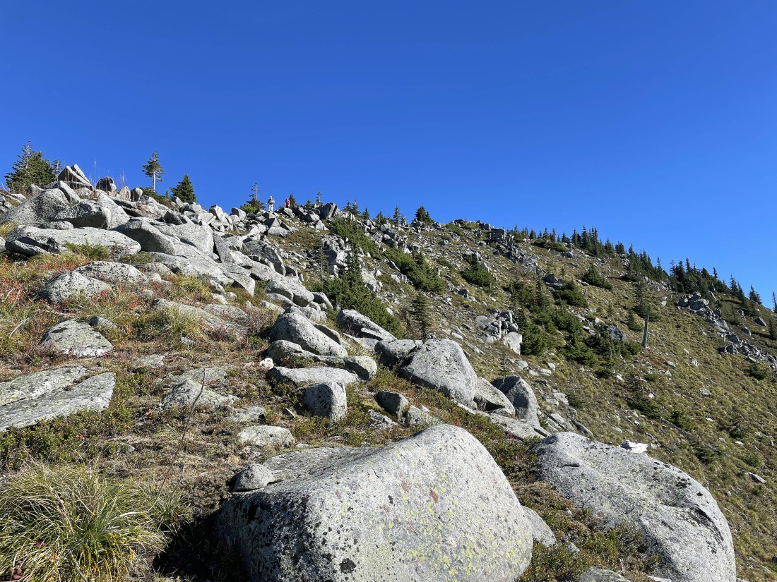
Reeling in the west summit of Bandera Mountain.
|
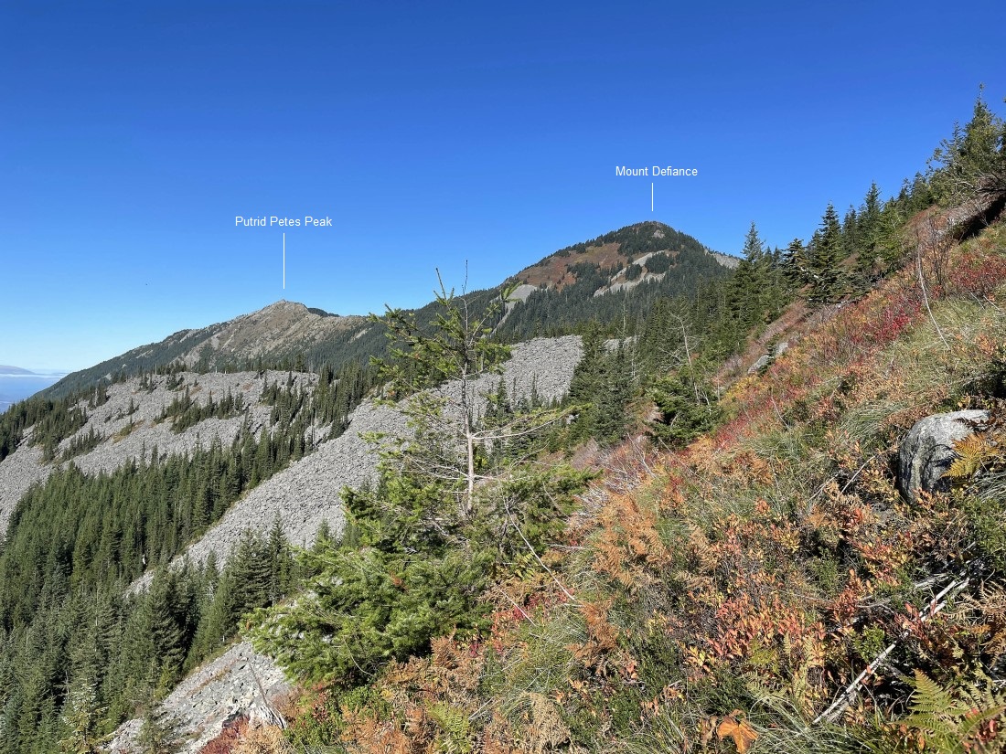
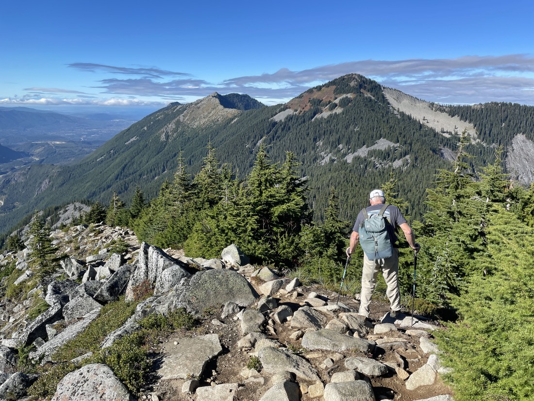
Denali Girl working her way up to the west summit of Bandera Mountain... with Putrid Petes Peak and Mount Defiance out there in the distance.
|
Denali Girl continues to hike up to the west summit of Bandera Mountain.
|
Almost up to the west summit of Bandera Mountain.
|
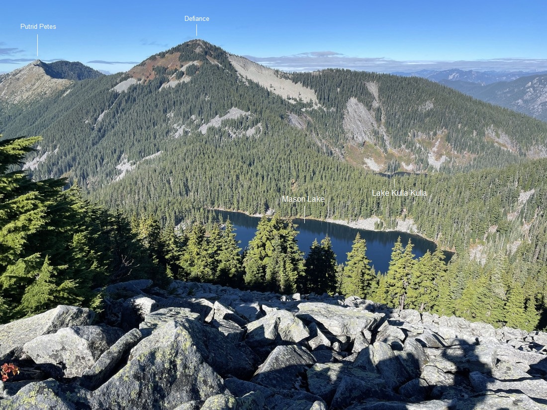
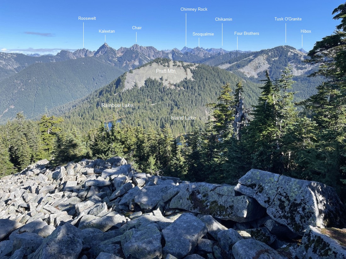
After hiking a total of 3.4 miles we have finally reached the west summit (5157 feet) of Bandera Mountain... and while it is a treed summit, we pushed our way 30 feet through the trees and brush to get this view.
|
A closer look at a portion of the previous photo... we just gained a little over 1000 feet of elevation in the last half-mile.
|
Time to trace our steps back down to the car.
|
Tracing our steps back down to the car... the total hike was 6.8 miles, gaining 3130 feet of elevation.
|
