San Jacinto Peak - 12.16.2023
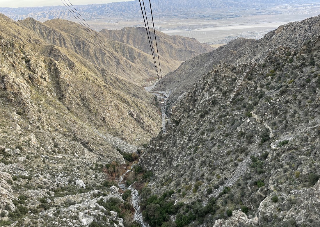
We started this hike by riding up the Palm Springs Aerial Tramway... here looking back down to where the ride begins... and in the distance we can see Coachella Valley where Palm Springs and the San Andreas Fault are located.
|
Still on the tram... here nearing the top of the tram... Palm Springs is located at 479 feet above sea level... and the top of the tram is located at 8520 feet... a very nice start to this hike.
|
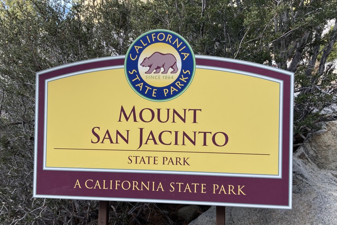
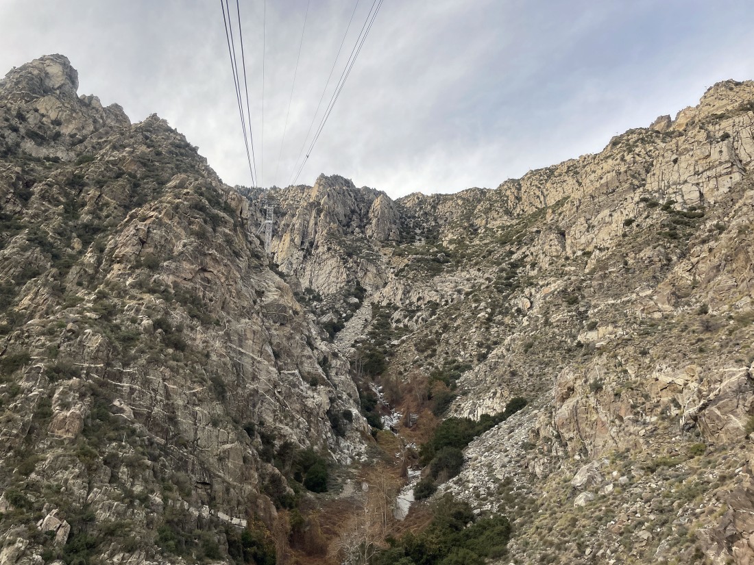
Stepping outside of the tram building at 8520 feet we are greeted by this state park sign where we will have to give up 150 feet of elevation to begin our hike... and of course at the end of the hike we will have to regain the 150 feet of elevation... which we will do 10 hours from now.
|
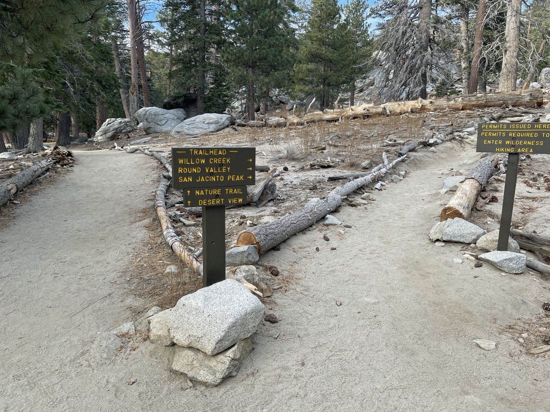
After hiking a quarter mile we will fill out the paperwork for a wilderness permit for going to San Jacinto Peak.
|
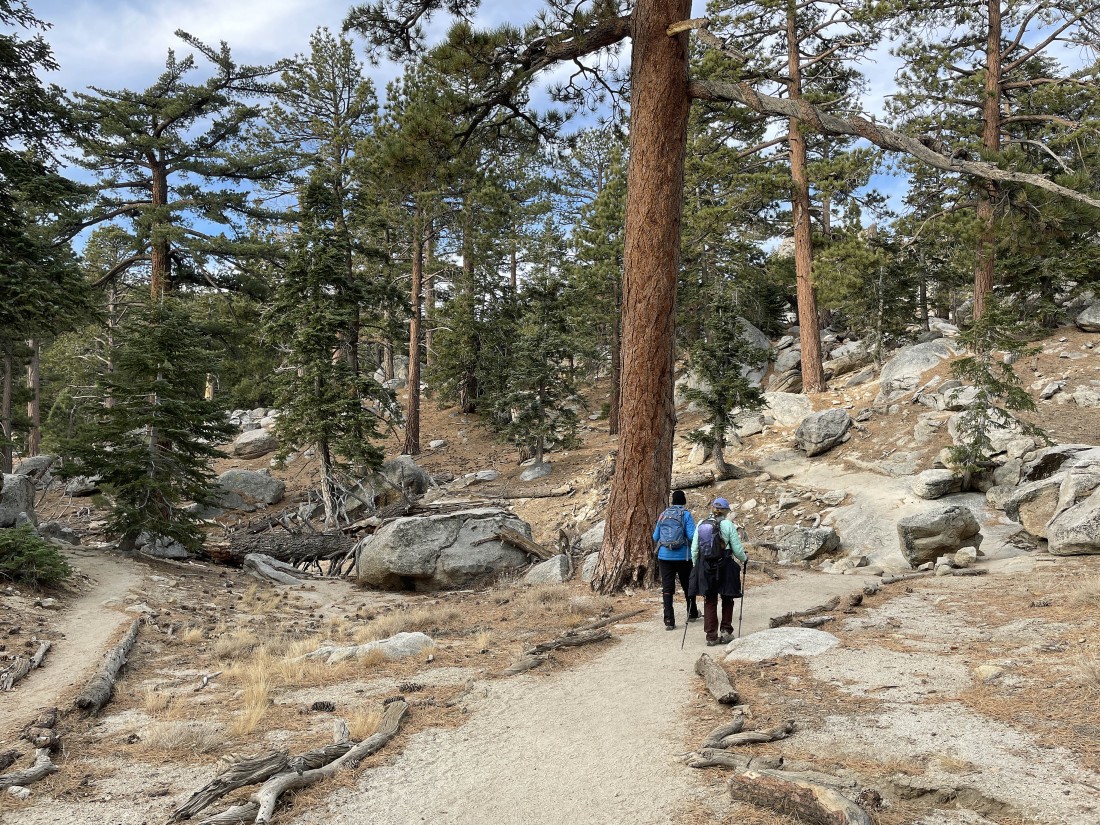
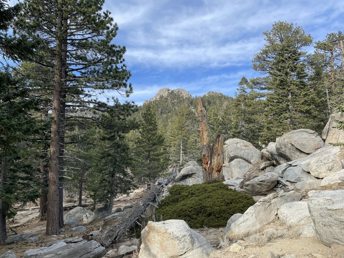
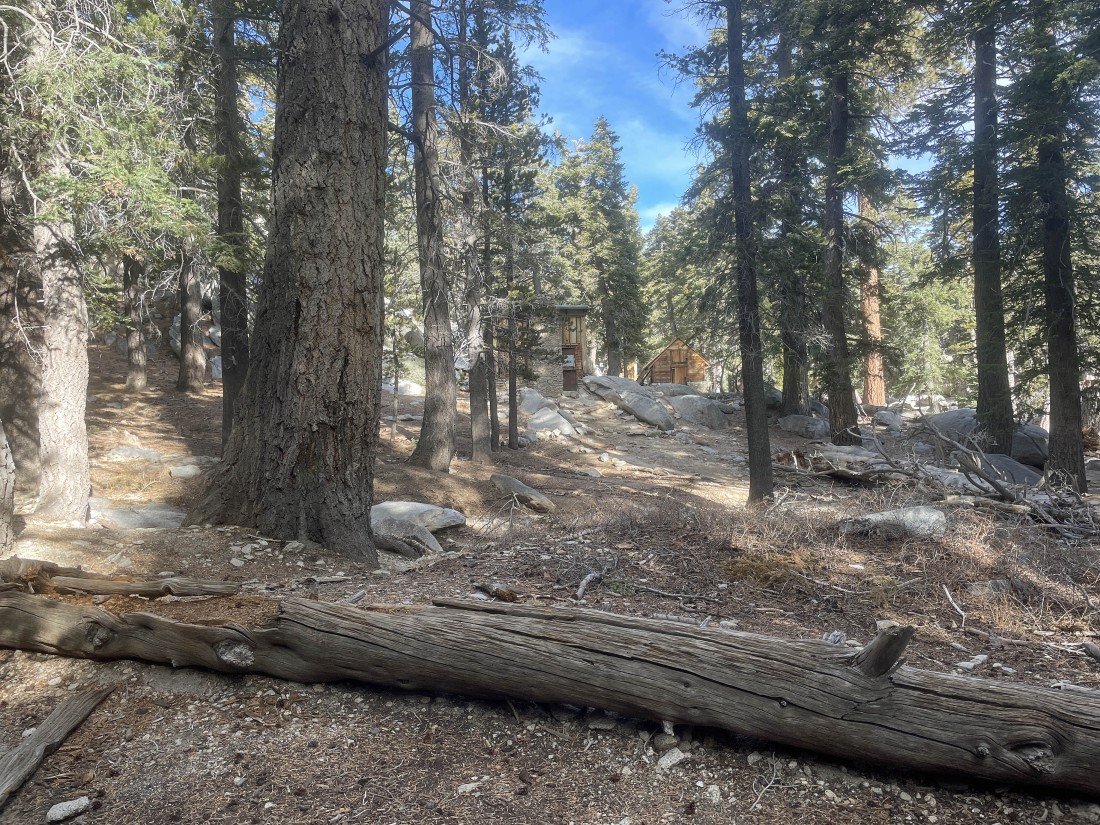
At least 80 percent of the hike is in the forest.
|
Hiking on the Round Valley Trail... in the distance we can see Yale Peak and Harvard Peak.
|
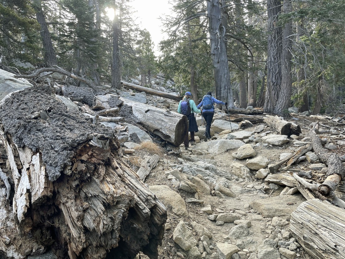
Continuing to hike on the Round Valley Trail.
|
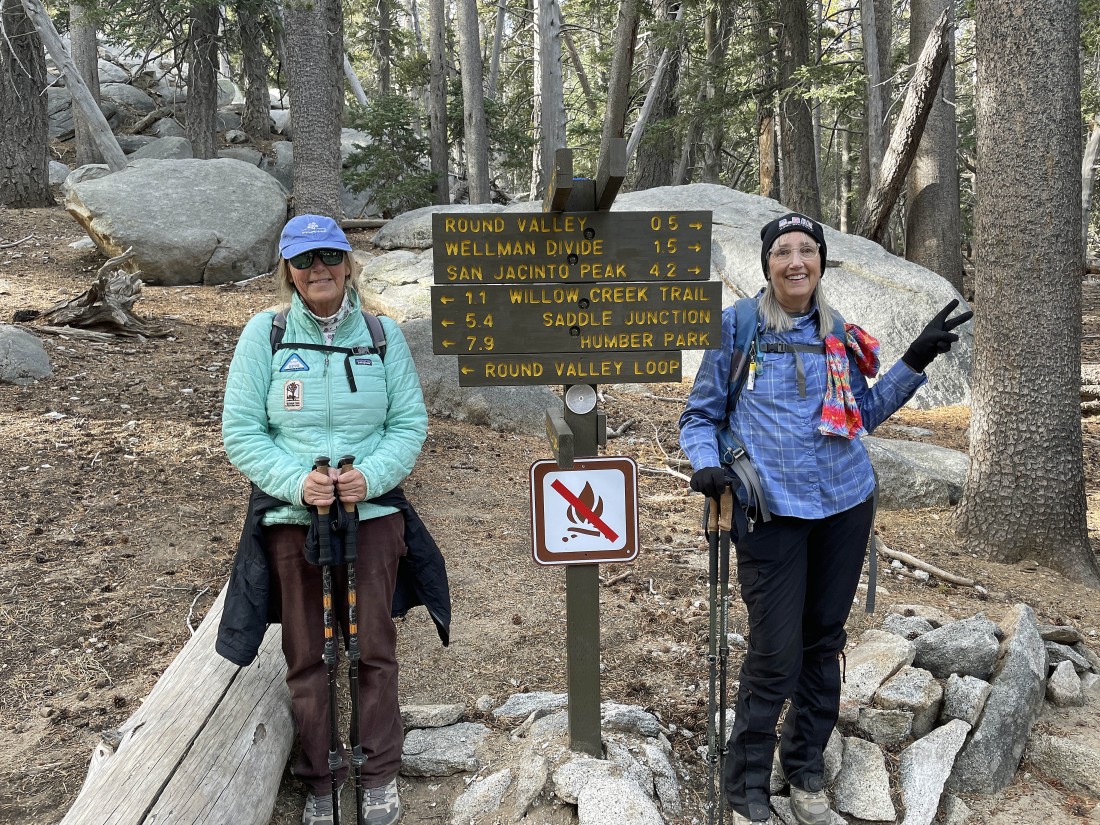
After hiking a total of 1.8 miles we have reached a trail junction... we will continue to head for Wellman Divide and San Jacinto Peak.
|
After hiking a total of 2.4 miles we have reached the Round Valley Campground at 9100 feet.
|
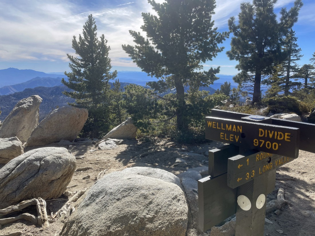
After hiking a total of 3.4 miles we have reached Wellman Divide at 9700 feet... on the far left horizon we can see Tahquitz Peak... an 8800 piece of granite south of where we are standing.
|
|
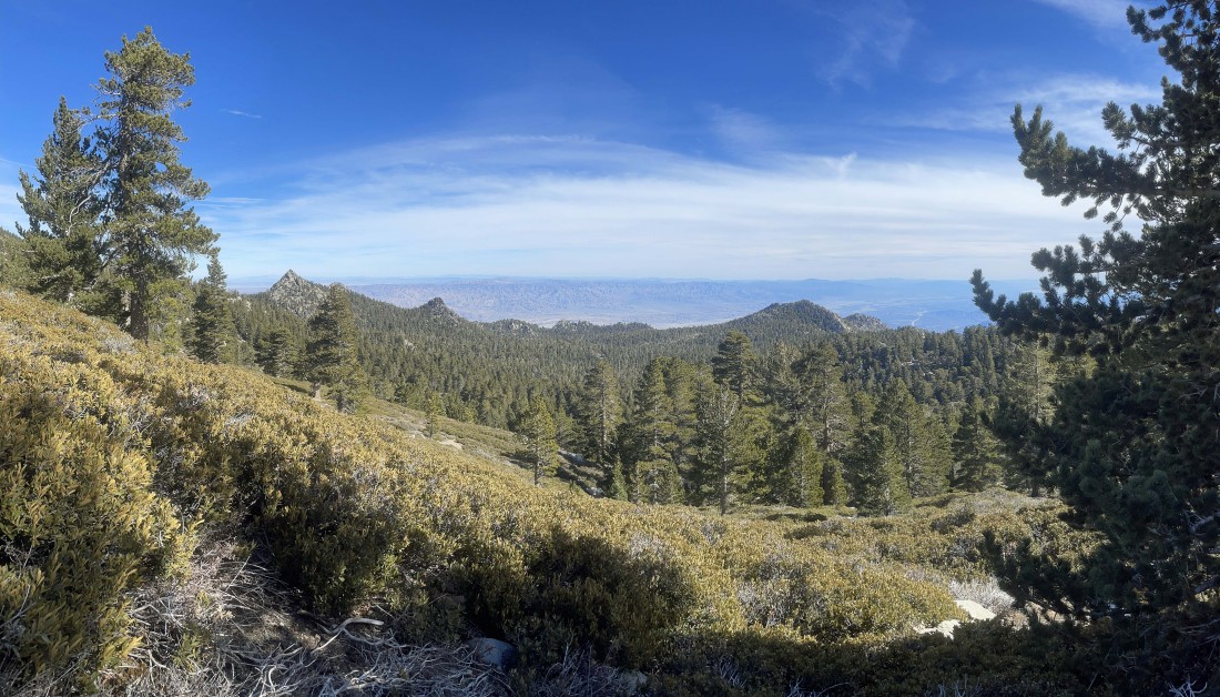
A broader look from where I took the previous photo.
|
We have left Wellman Divide where most of the hiking now is out of the forest... here looking to the left at the pyramidal shaped Cornell Peak. The tram station is on one of the tiny bumps in the center of the photo. The Little San Bernardino Mountains are on the horizon beyond Coachella Valley.
|
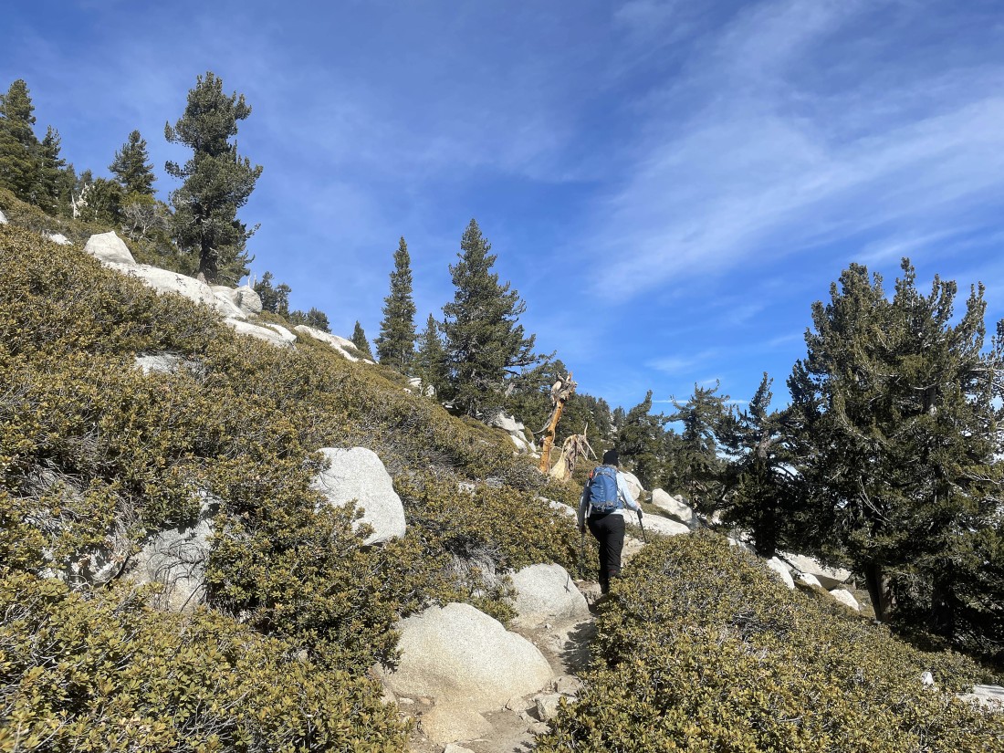
Continuing to gain elevation as we switchback our way up to the summit of San Jacinto Peak.
|
Continuing to switchback our way up to the San Jacinto Peak summit... Miller Peak is in the extreme far left foreground... with Jean Peak in the right foreground. In the distance Coachella Valley carries the San Andreas Fault down to the Salton Sea.
|
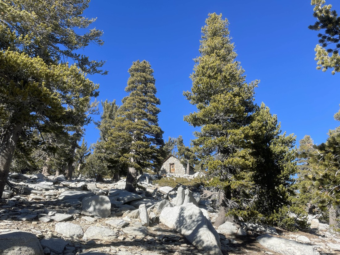
There is a Ranger Station within a quarter mile of the San Jacinto Peak summit.
|

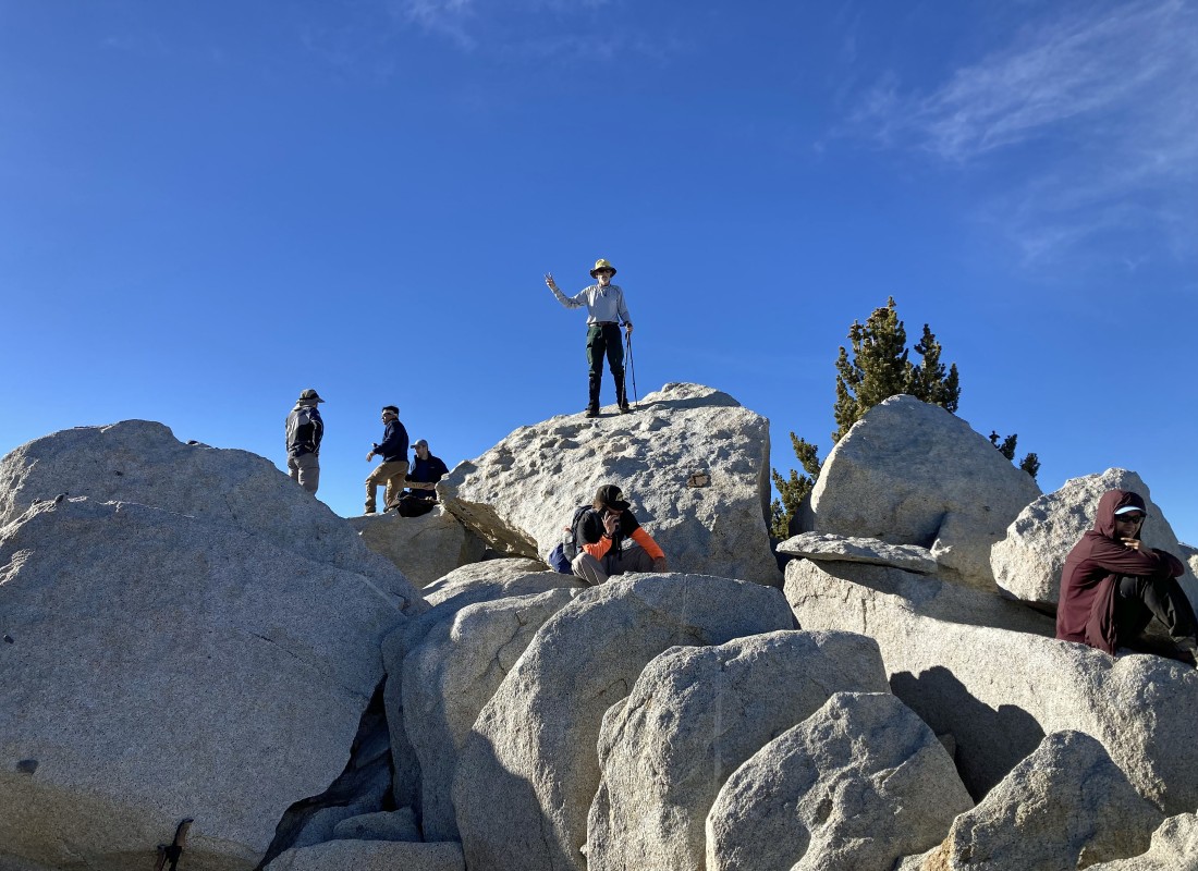
Star Dancer is almost on the summit.
|
The San Jacinto Peak summit is in the right foreground. The 11,503 foot San Gorgonio Mountain is on the left horizon... located in the San Bernardino Mountains it is the highest point in Southern California. I'm looking across Coachella Valley to the Little San Bernardino Mountains in the center of the photo... forming the western border of Joshua Tree National Park.
|
Denali Girl took this photo of me on the 10,834 foot summit of San Jacinto Peak.
|
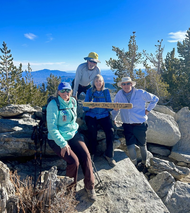
A group photo on the summit of San Jacinto Peak summit... left to right... Star Dancer, ragman, Denali Girl and John.
|
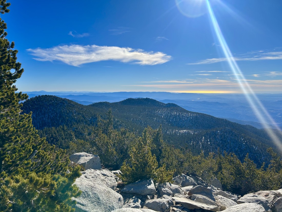
Star Dancer took this photo from the San Jacinto Peak summit... with the Pacific Ocean shining on the horizon. Now it is time for us to trace our steps back to the tram... the hike was a total of 10.8 miles, gaining 2702 feet of elevation.
|
