Valhalla Dome - 12.20.2023
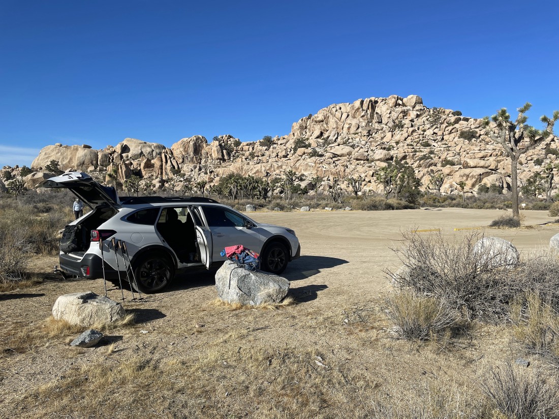
We parked in the dirt parking lot for the trailhead to the Wall Street Mill... located a quarter mile NE of the paved parking lot for the very popular trailhead for Barker Dam.
|
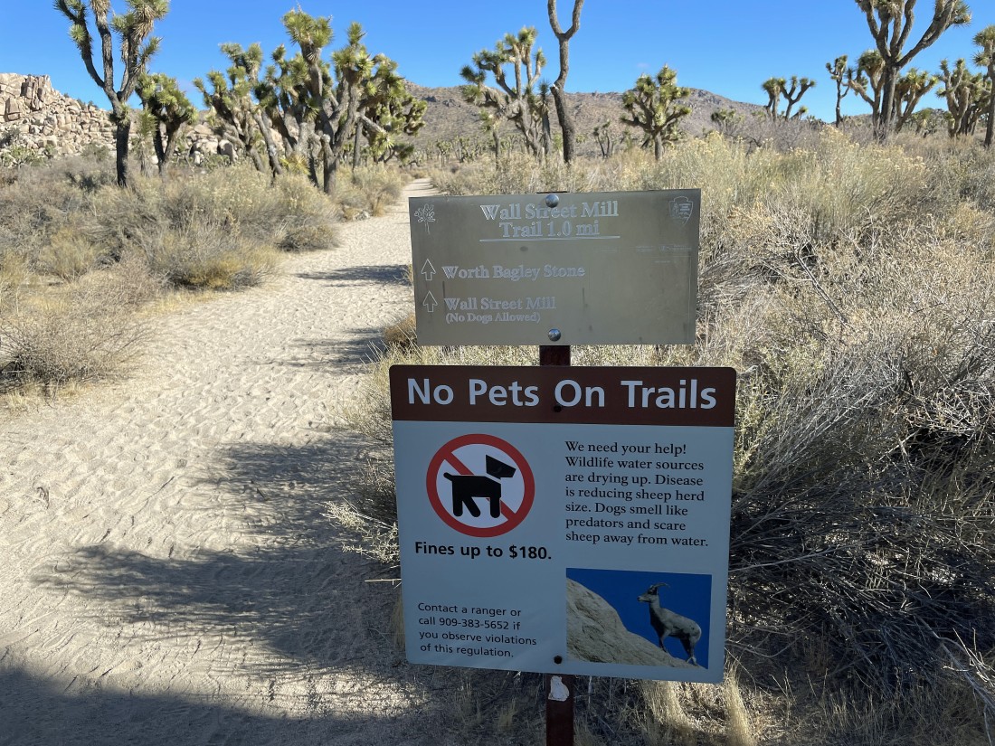
We started hiking on the trail that goes to the Wall Street Mill.
|
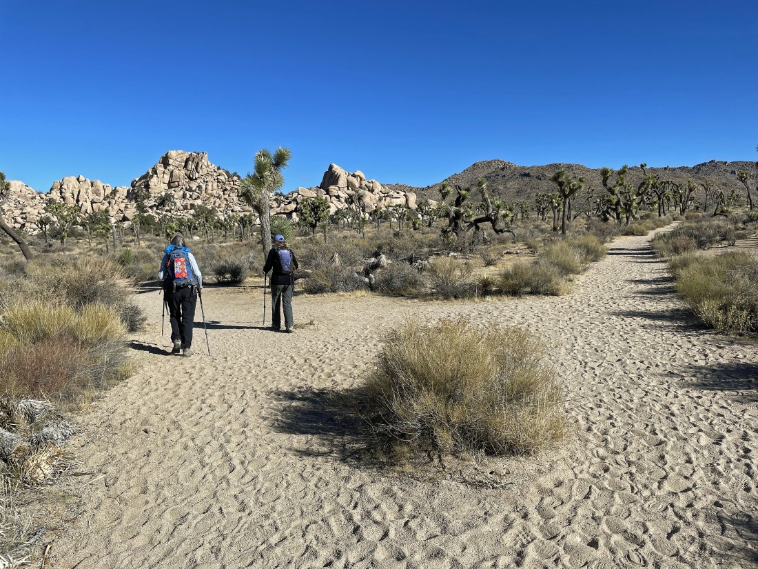
Turning left and leaving the trail to the Wall Street Mill after less than a tenth of a mile.
|
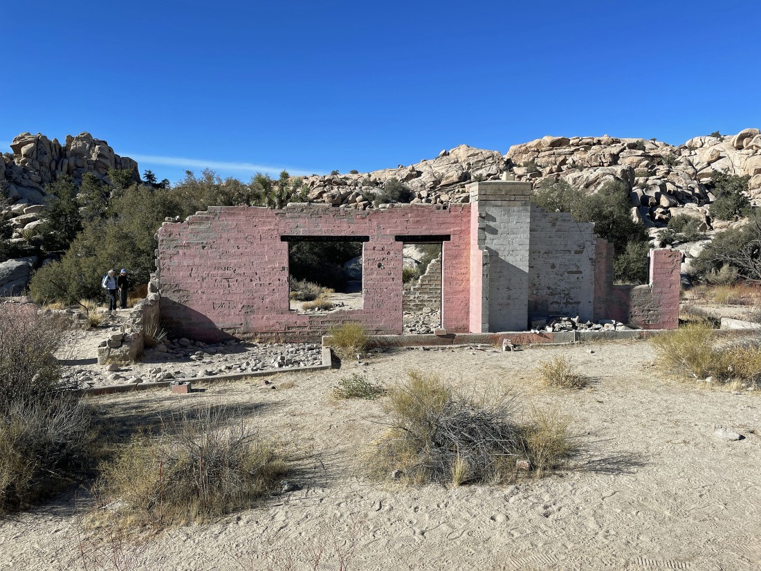
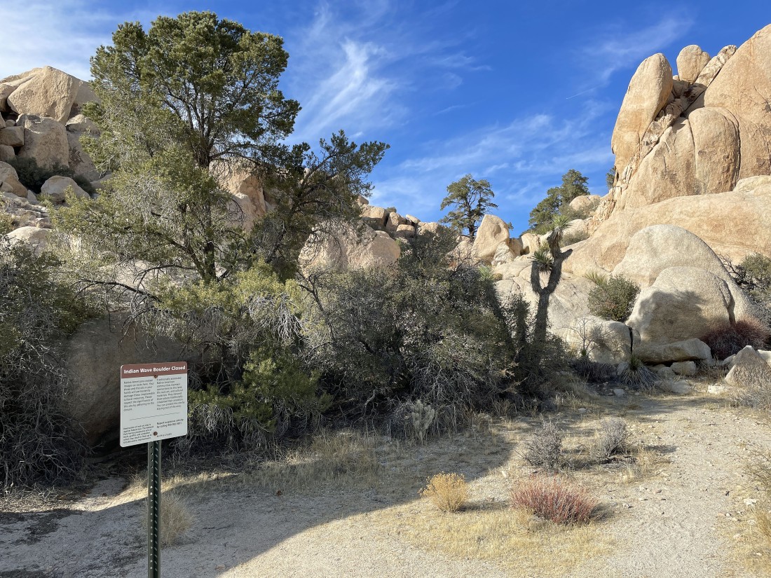
Another tenth of a mile brought us to the Worth Bagley Homestead... aka the 'Pink House'... we will enter the Wonderland of Rocks behind the house.
|
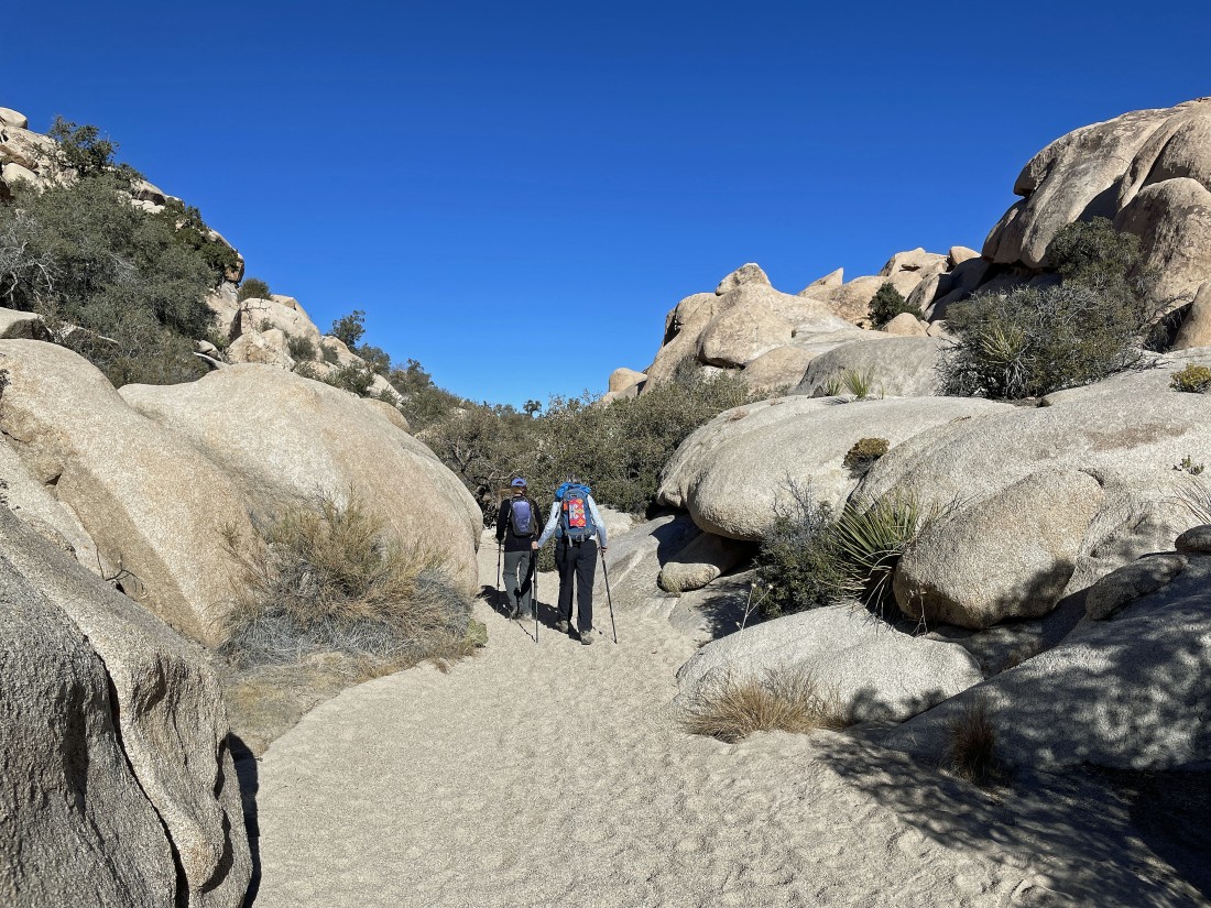
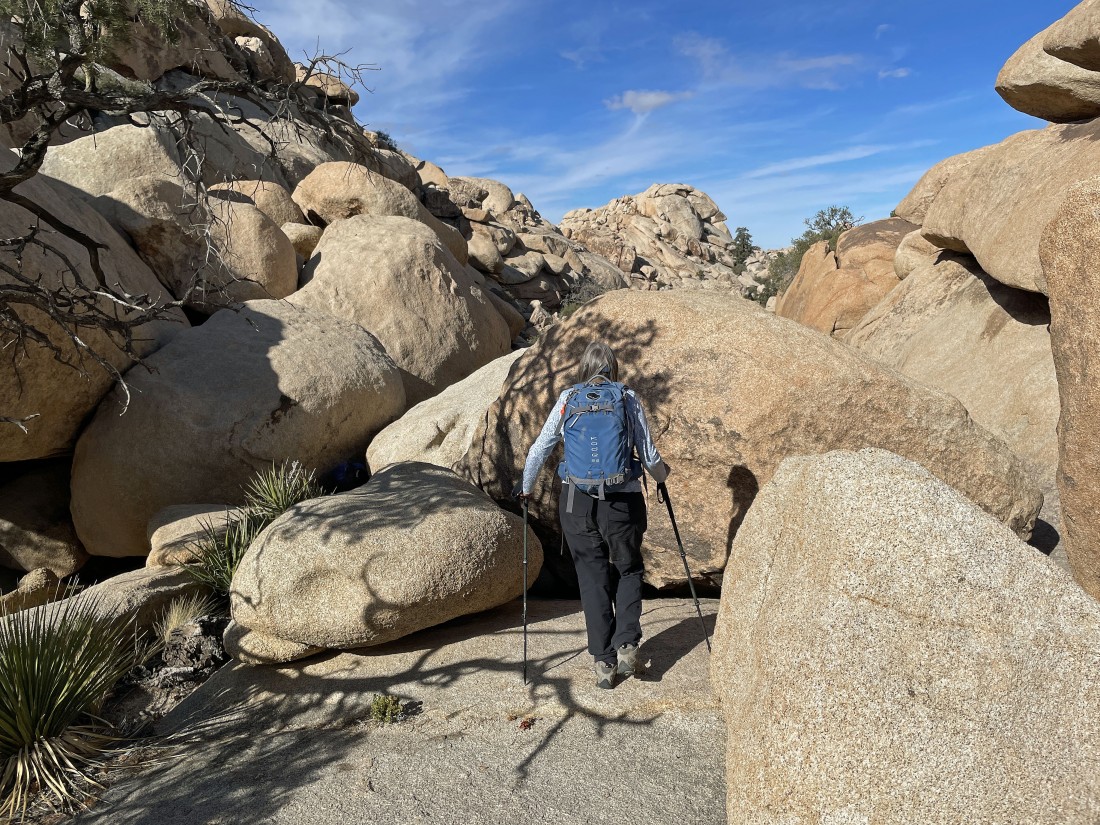
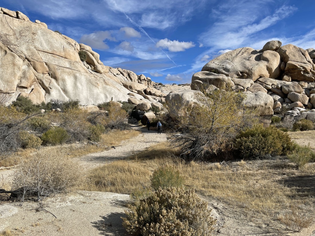
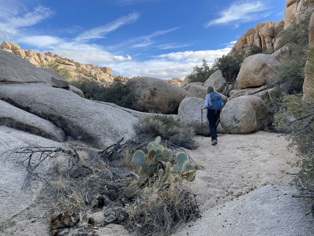
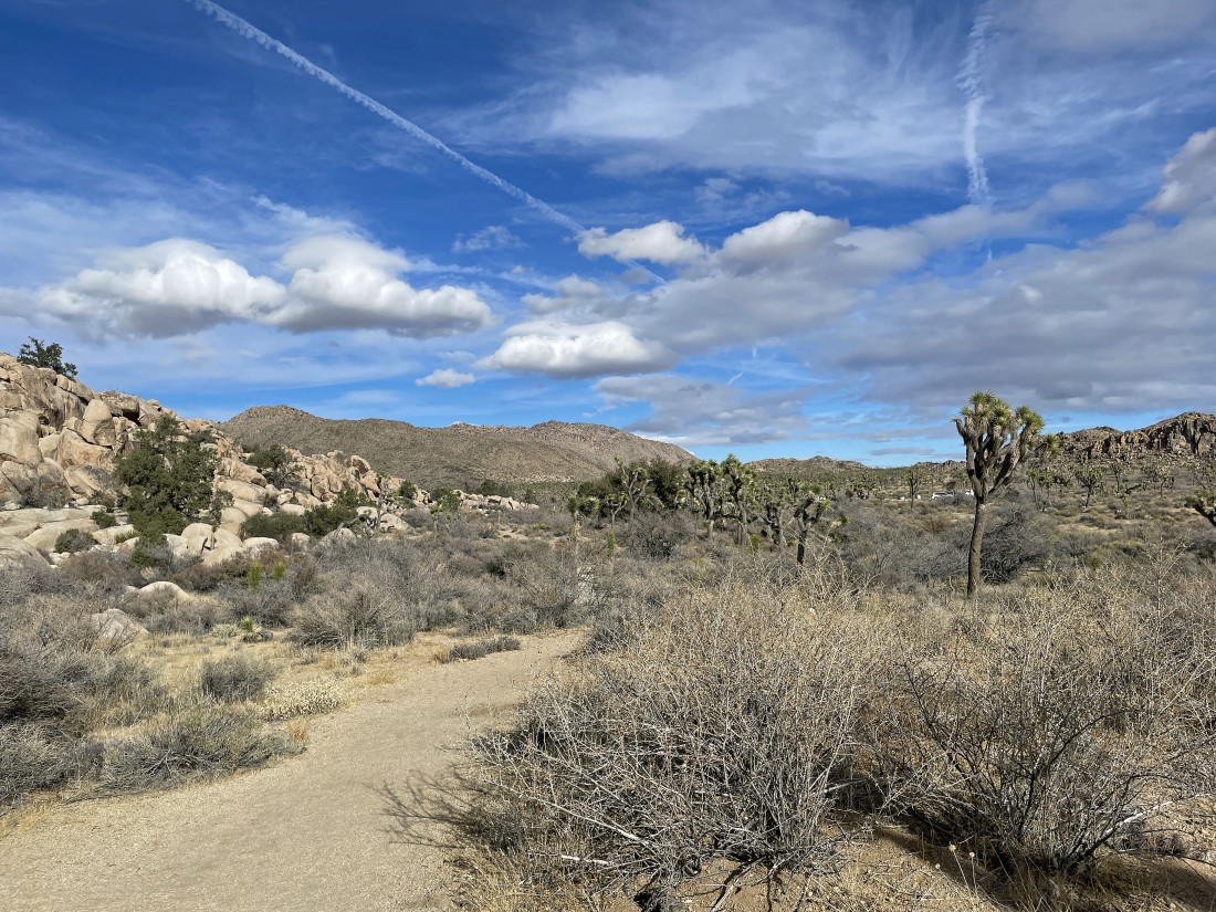
Hiking north in the Wonderland of Rocks.
|
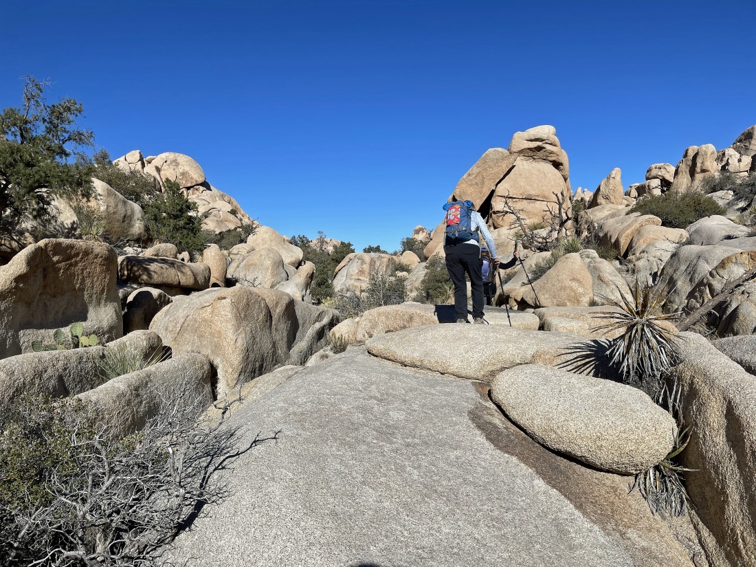
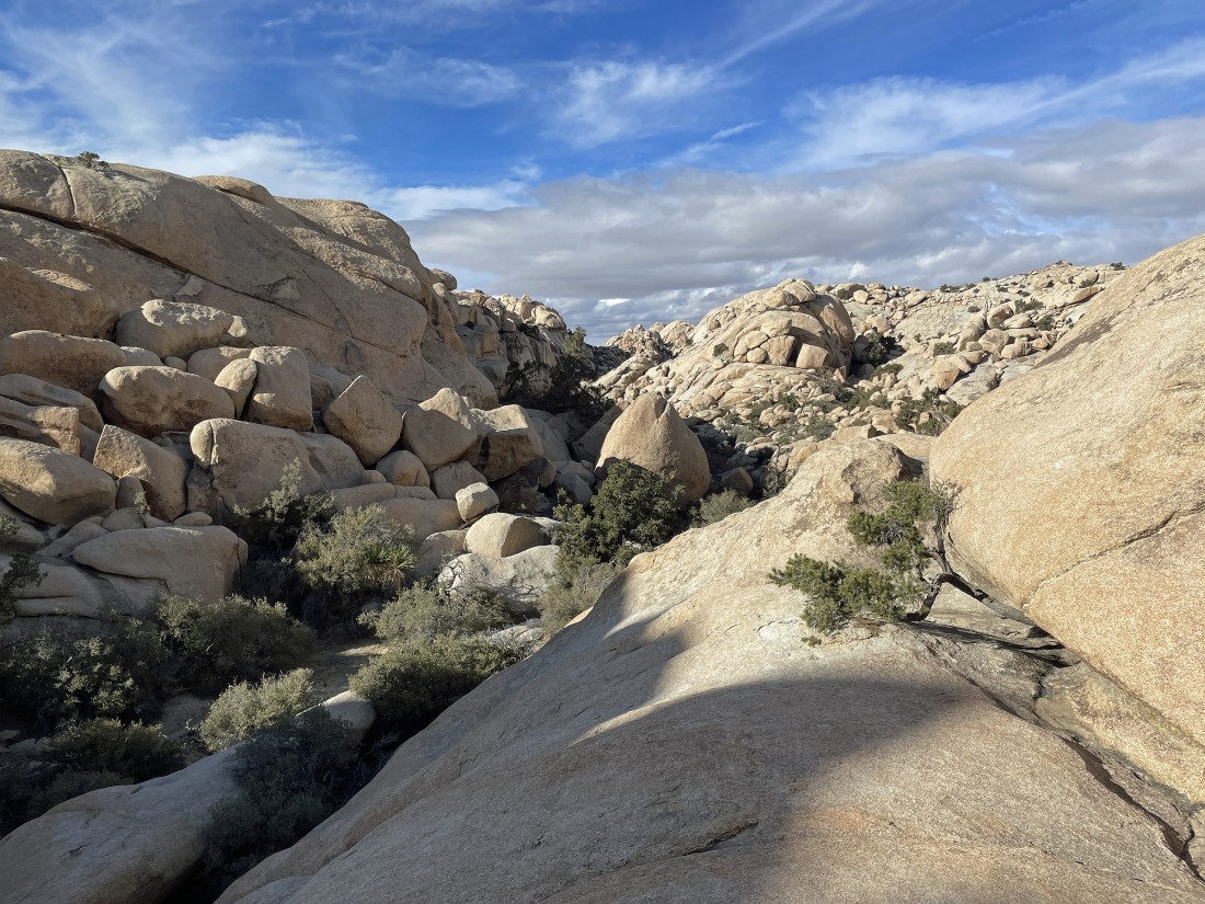
Hiking in the Wonderland of Rocks is a combination of hiking in a wash and hiking on rocks.
|
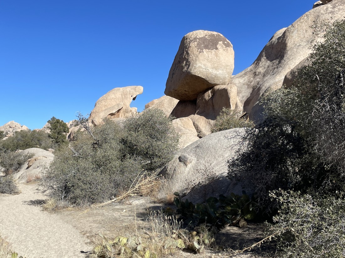
We call it 'Shark Rock'.
|
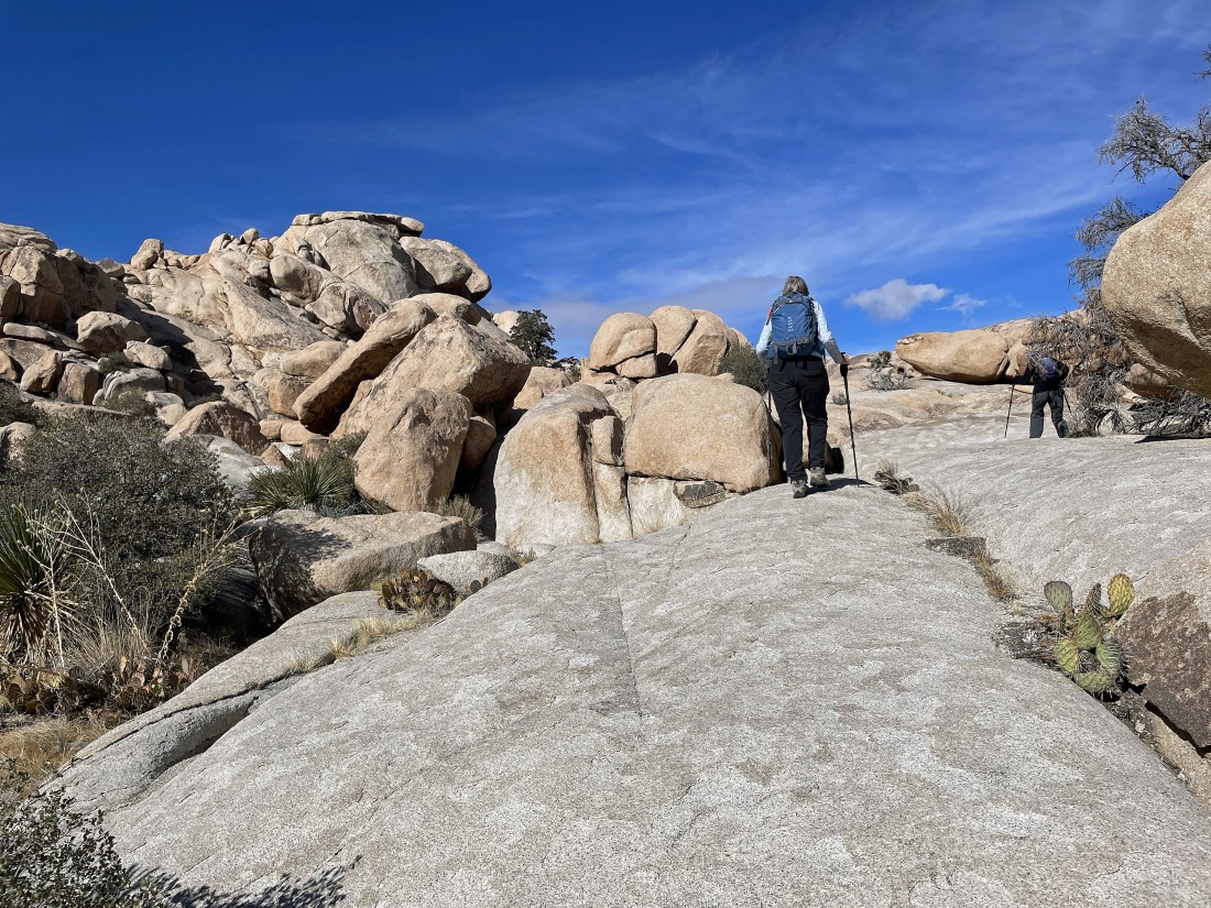
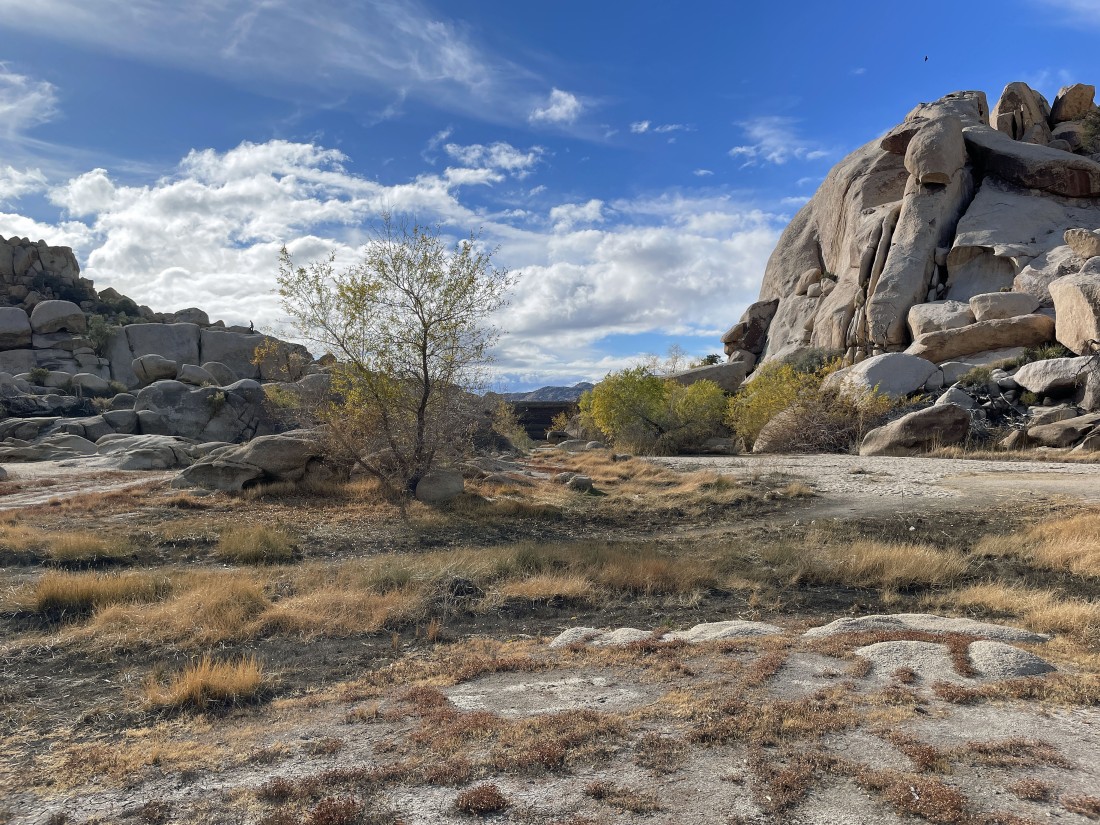
After hiking a half-mile in the Wonderland of Rocks the terrain opens up some... and the South Astro Dome stands out in the distance.
|
When we got our first good look at the South Astro Dome we changed directions and started scrambling to the south.
|
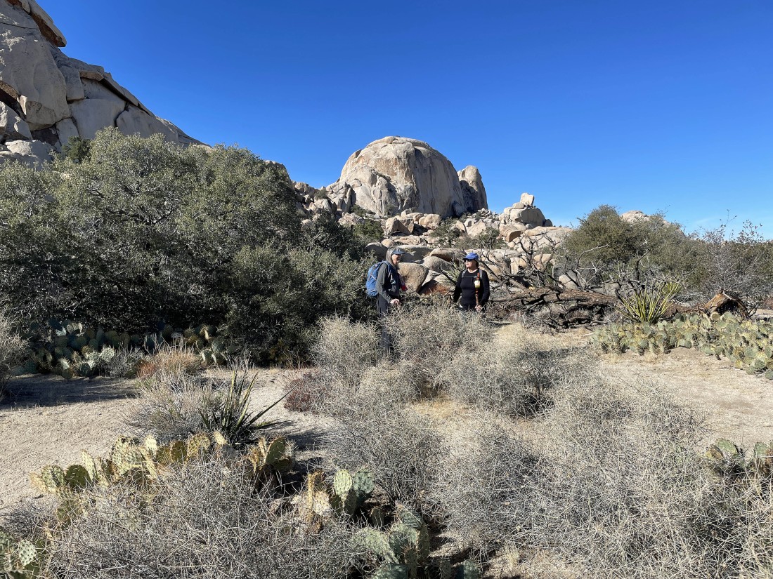
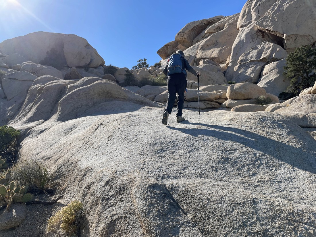
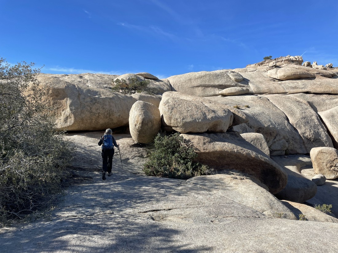
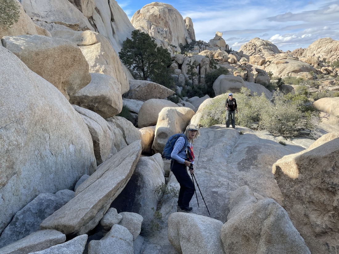
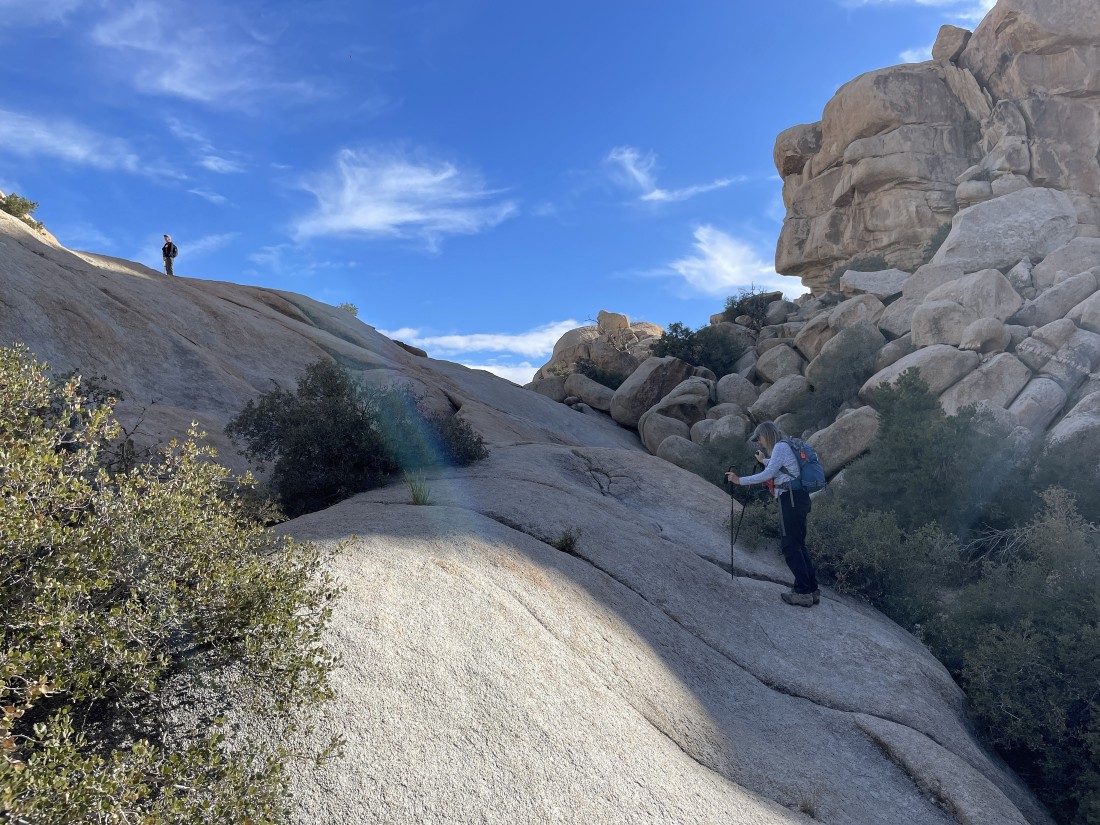
Star Dancer (35 years of experience hiking in the park) leads the way.
|
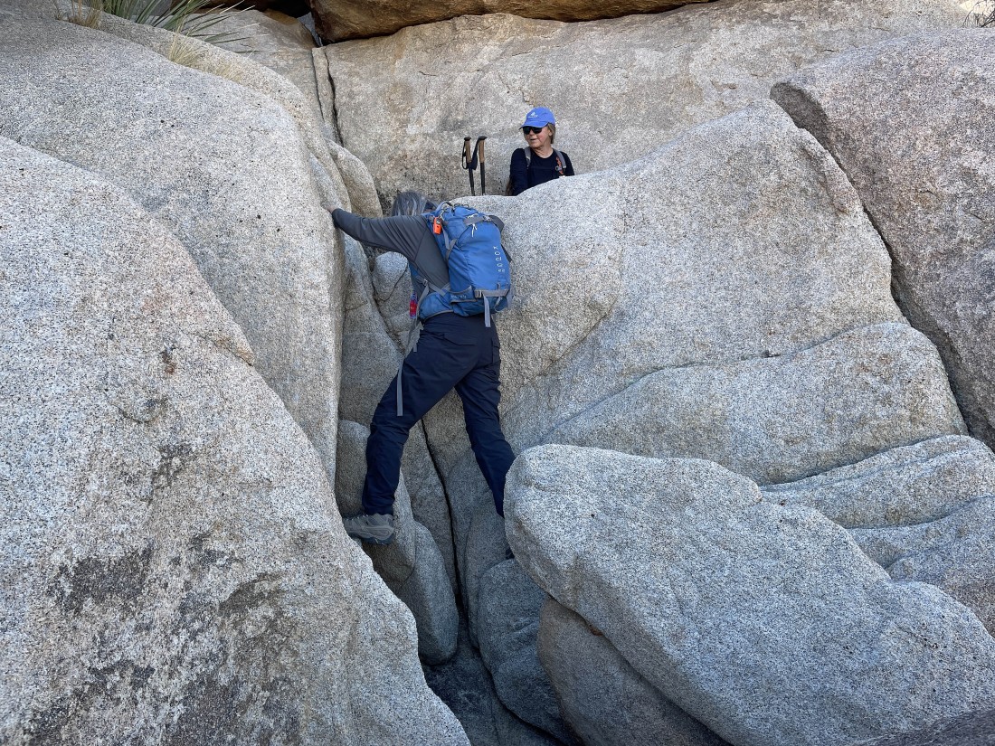
Denali Girl follows Star Dancer up the rocks.
|
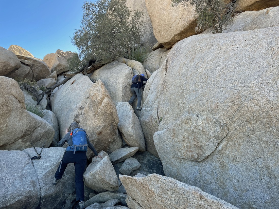
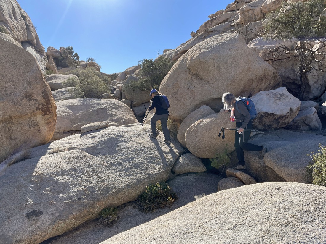
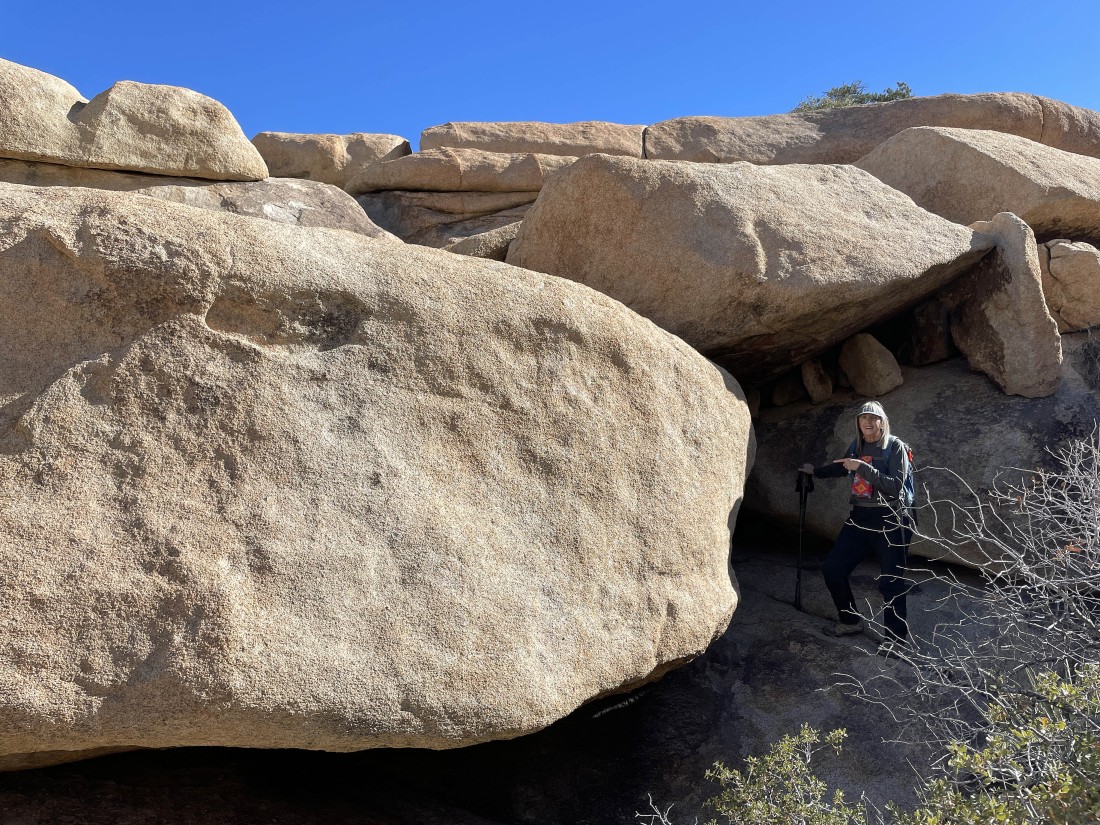
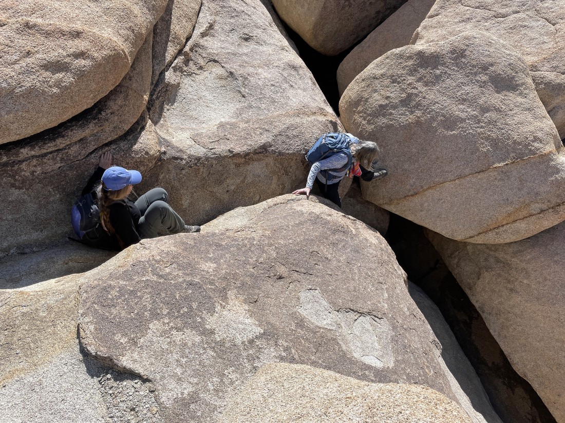
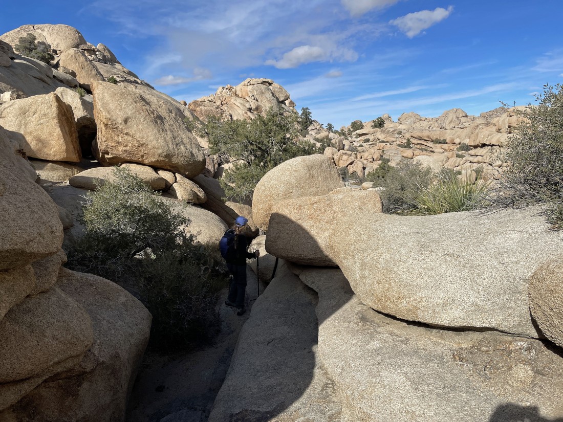
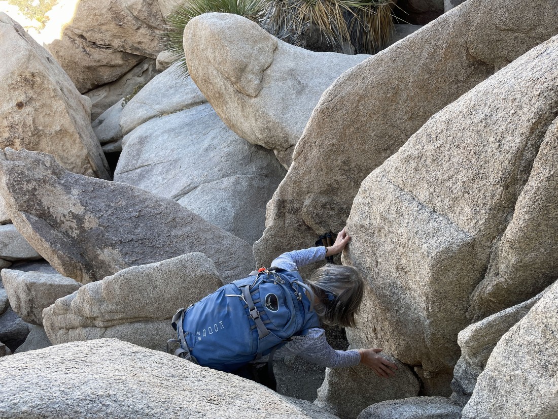
A little narrow here... searching for the hidden valley that is located 60 feet above the more popular section of the Wonderland of Rocks..
|
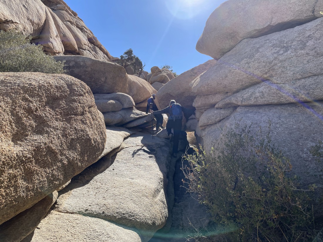
And voila!!!... we have found the hidden valley located 60 feet above the popular section of the Wonderland of Rocks... the Valhalla Dome summit is located above Denali Girl's head in the distance.
|
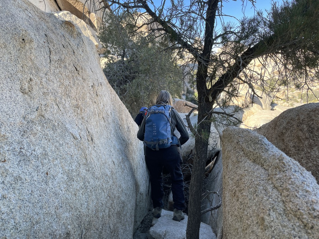
Continuing to hike south in the hidden valley on our way to the summit of Valhalla Dome.
|
Still hiking south in the hidden valley located on the east side of Valhalla Dome.
|
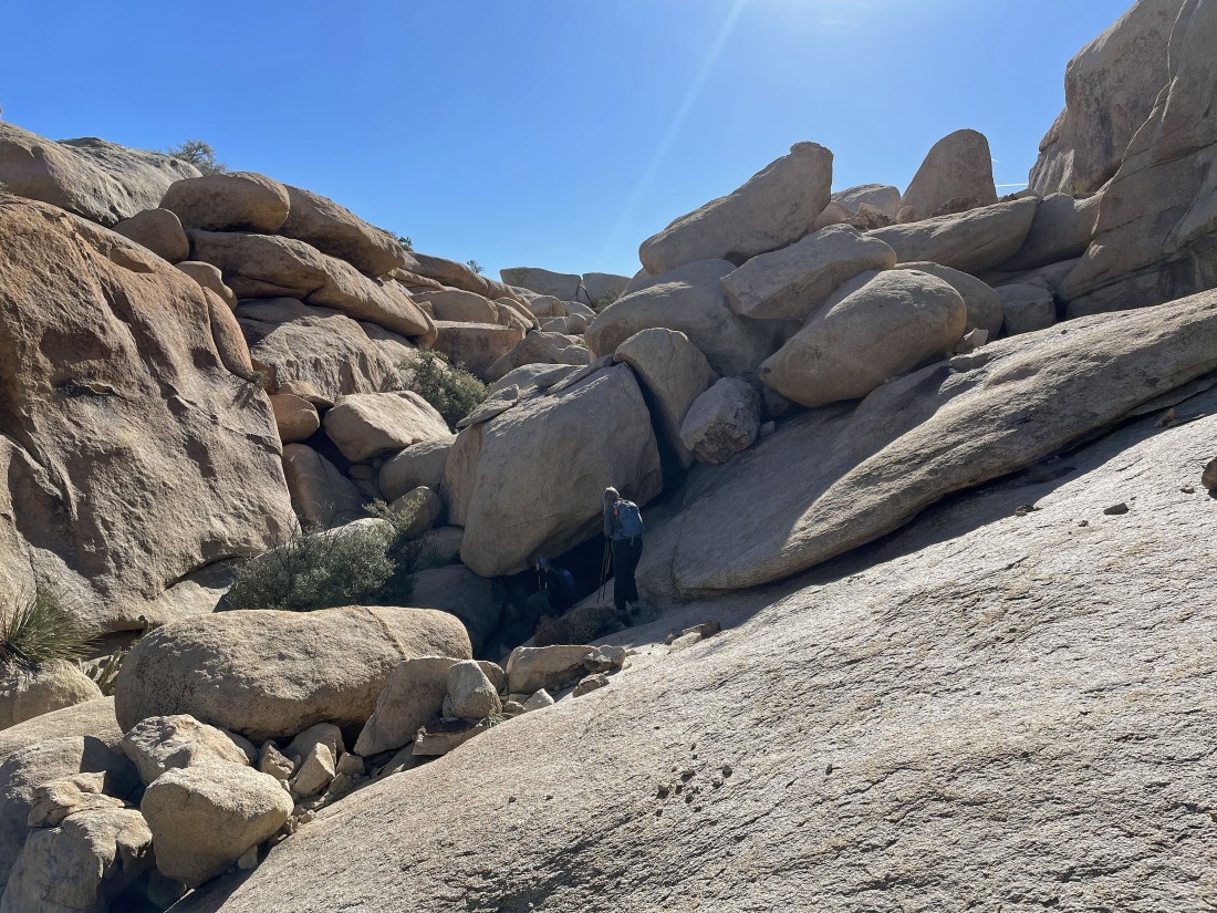
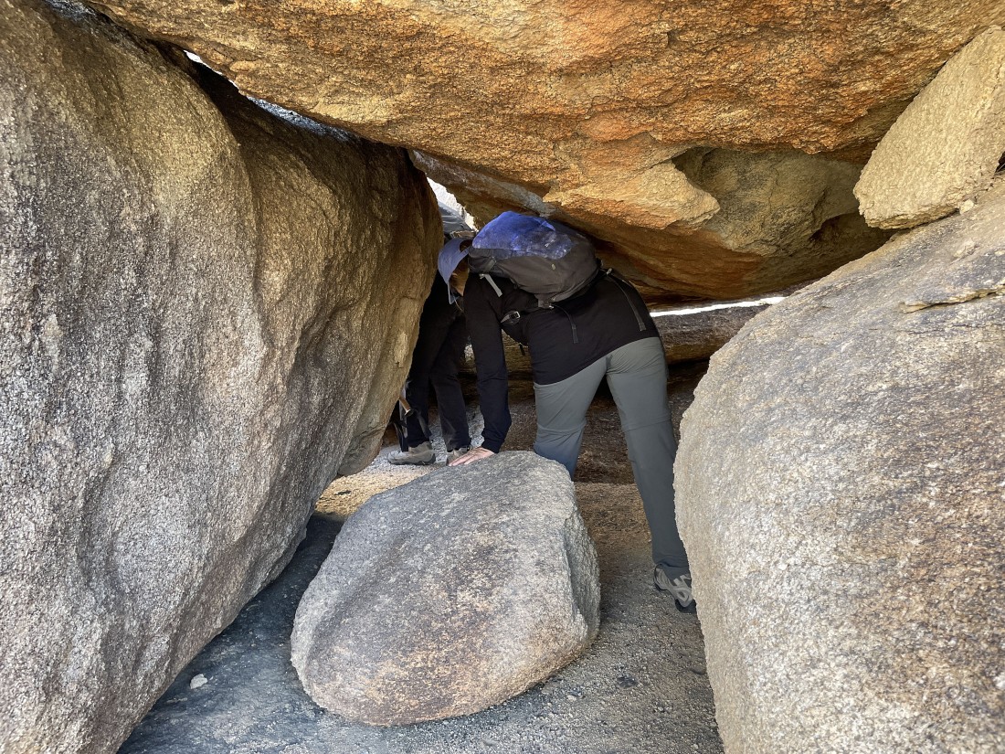
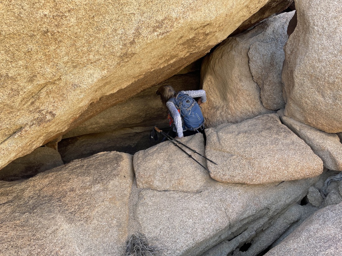
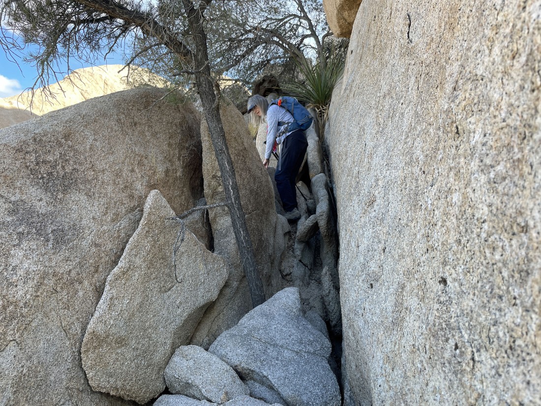
Whoa... Star Dancer is leading us into what looks like a tunnel.
|
In the tunnel... still hiking south on the east side of Valhalla Dome.
|
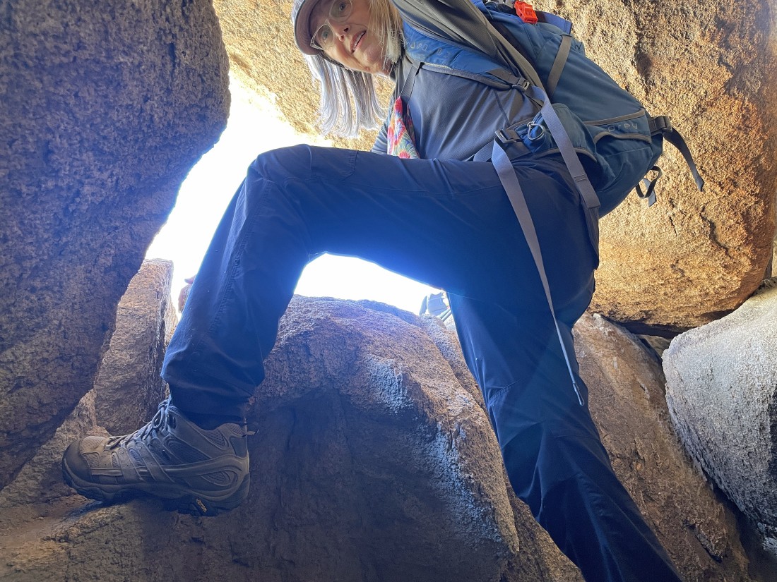
Denali Girl climbs out of the tunnel.
|
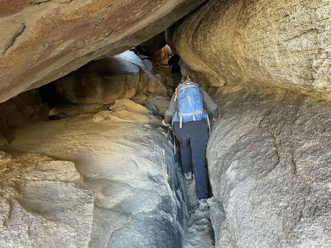
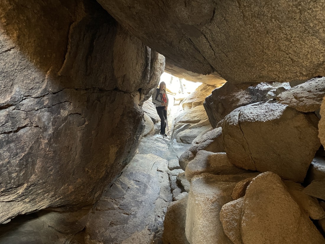
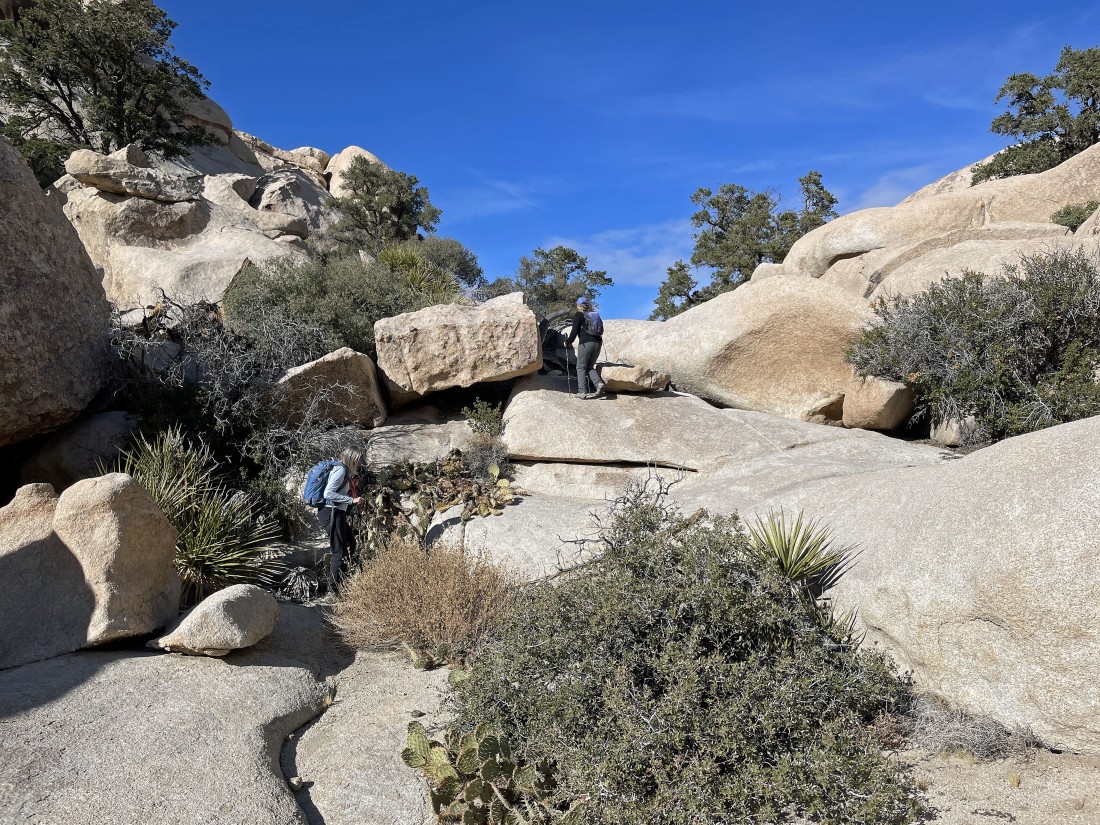
Out of the tunnel... but now let's head east into this cave.
|
In the cave hiking east looking for a route that will get us 30 feet higher up.
|
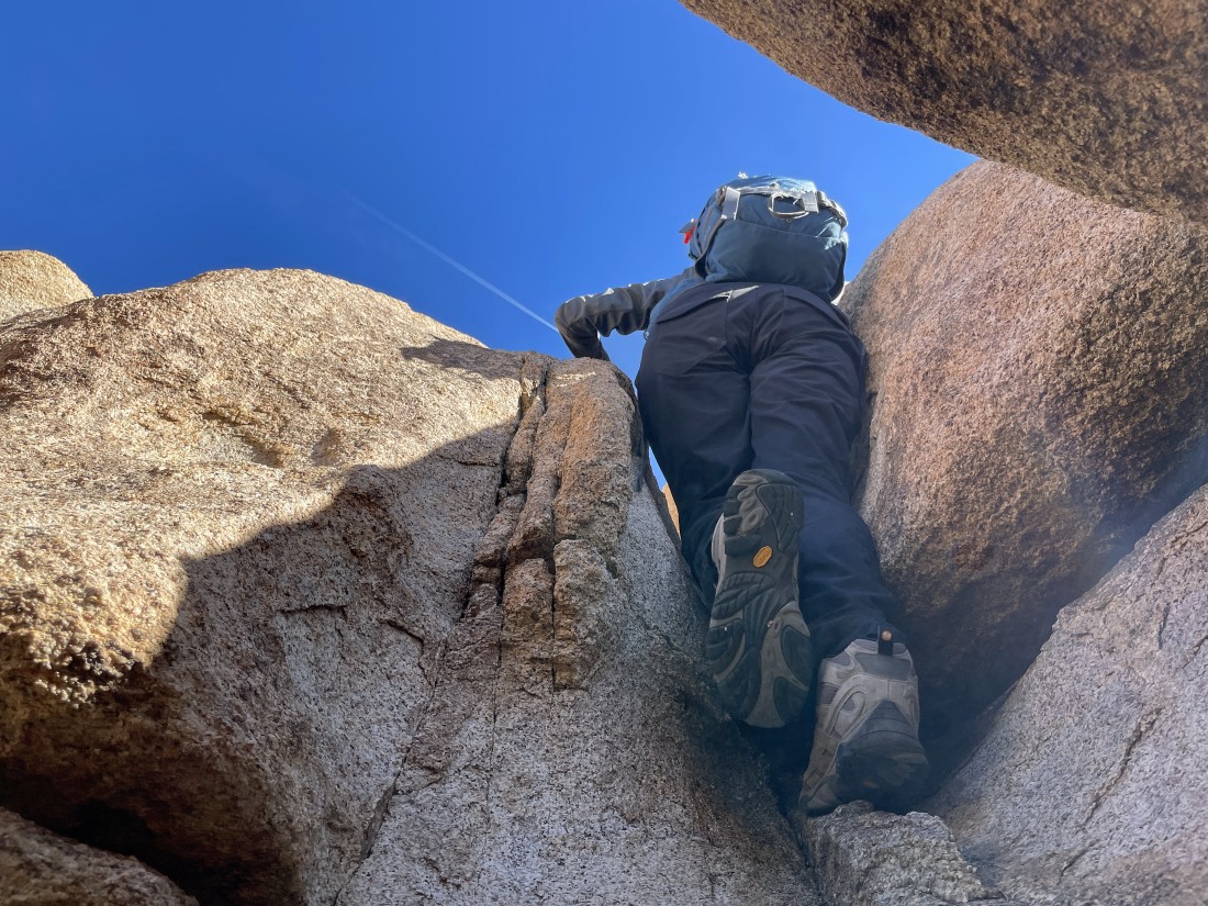
Climbing out of the cave and looking for some easier terrain.
|
Ta-da!... up out of the hidden valley... here looking across it to the summit of Valhalla Dome... and while being on the wrong side of the hidden valley, it will be easy to hike around to the left and reach the summit.
|
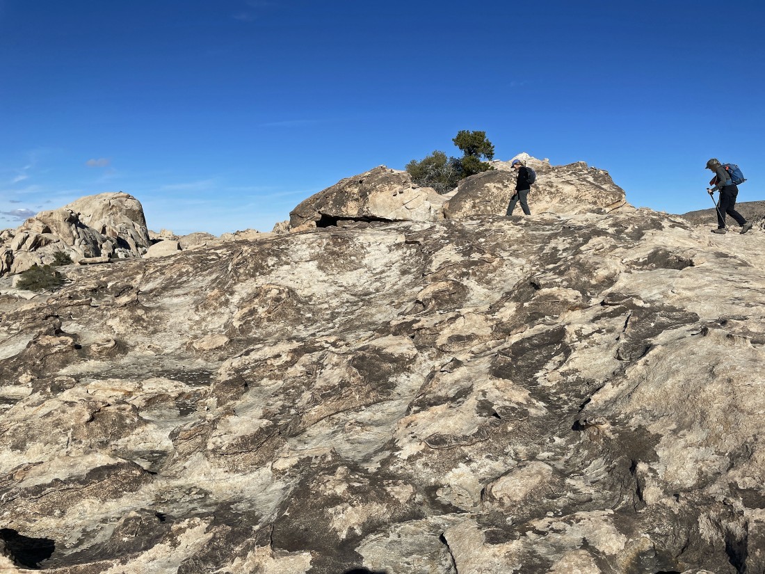
Heading for the summit of Valhalla Dome... which houses one little pinion pine.
|
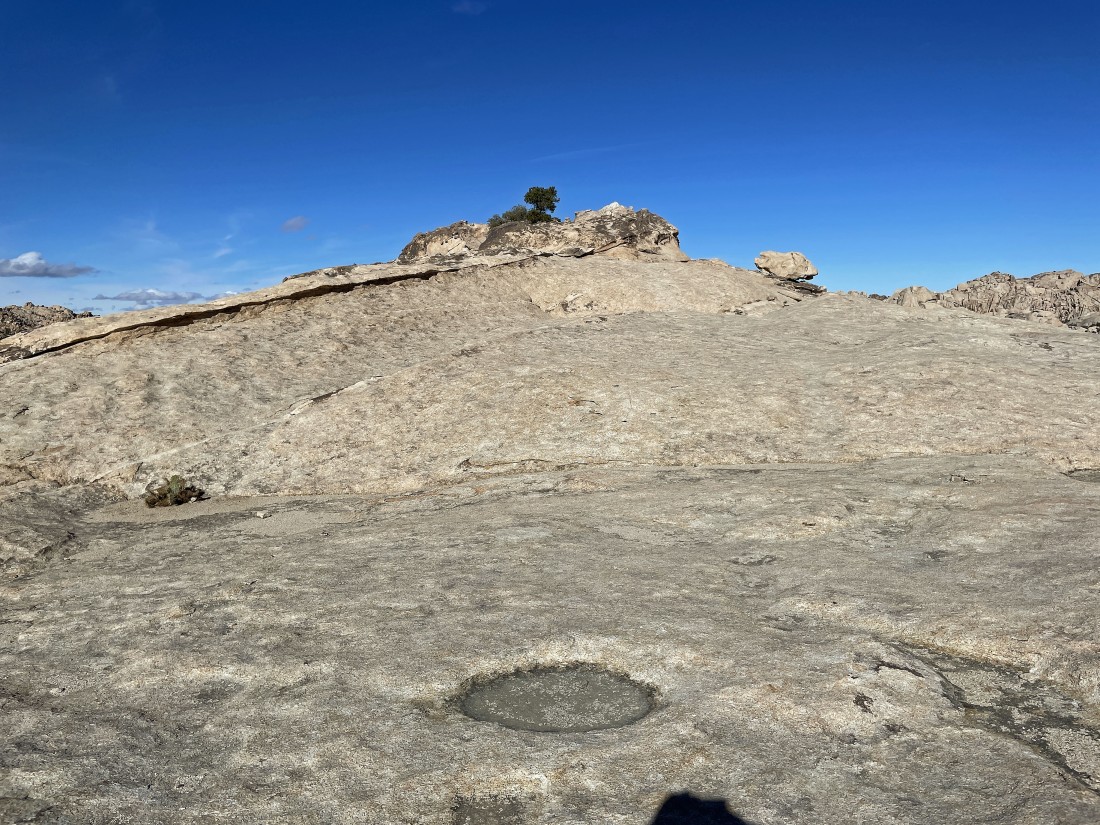
Almost on the summit of Valhalla Dome.
|
There is some serious erosion on the SW side of the Valhalla Dome summit.
|
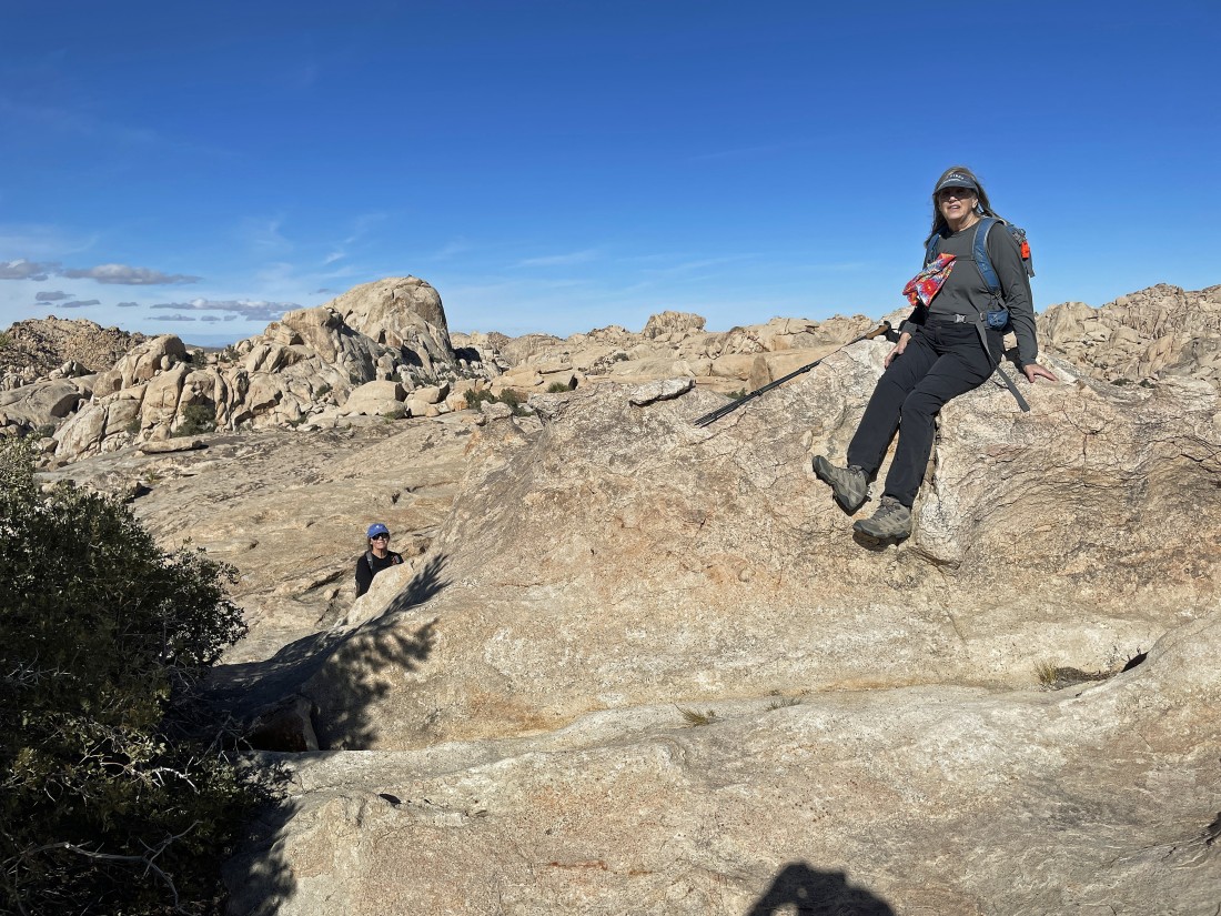
After hiking a total of 1.3 miles Denali Girl is sitting on the summit of Valhalla Dome... with the South Astro Dome out there on the left.
|
A pano shot from the Valhalla Dome summit... Ryan Mountain on the far left (south)... then Lost Horse Valley and the Little San Bernardino Mountains (SW)... then west to Quail Mountain (the high point in the park) in the center of the photo... then north on the far right to the South Astro Dome and Wonderland of Rocks.
|
A pano shot from the summit of Valhalla Dome... looking north on the far left to the South Astro Dome and the Wonderland of Rocks... looking NE across the Wonderland of Rocks to Queen Mountain in the center of the photo... with Queen Valley to the right (east).
|
We have left the Valhalla Dome summit and are tracing our steps back the way we came... here dropping down into the cave.
|
Out of the cave and heading back into the hidden valley we used on the way in.
|
Entering the tunnel that we used on the way in.
|
Exiting the tunnel out into the hidden valley.
|
Back in the hidden valley... still tracing our steps as we head for the little pass on the right side of the huge rock formation on the horizon.
|
Tracing our steps back in the hidden valley.
|
Almost back to the little pass we used to get into the hidden valley.
|
Still losing elevation as we exit the hidden valley and work our way back to the lowest part of the Wonderland of Rocks.
|
Still looking for the lowest section of the Wonderland of Rocks.
|
Almost down to the lowest section of the Wonderland of Rocks... with the South Astro Dome visible in the left center of the photo.
|
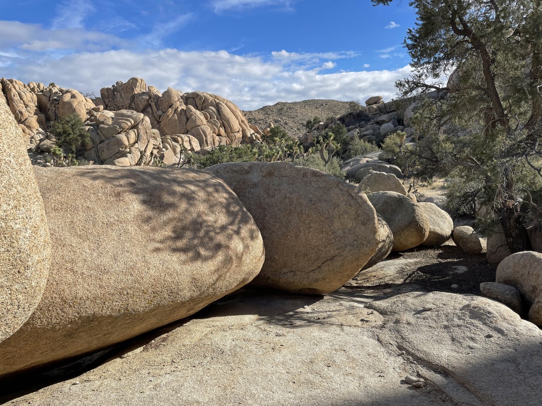
Back on the floor of the Wonderland of Rocks... and we have finished tracing the steps we used to access the summit of Valhalla Dome... and now we will hike NW toward the South Astro Dome as we have chosen to circumnavigate Valhalla Dome.
|
We have reached the famous 'Don Juan Boulder'... and this is where we will start hiking south to enter another valley on the west side of Valhalla Dome.
|
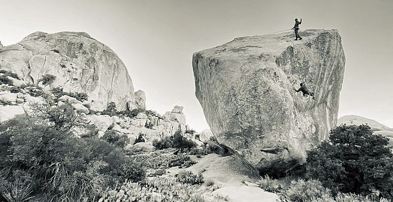
The 'Don Juan Boulder' is a massive monolith in the Wonderland of Rocks east of the South Astro Dome.... overhanging on every side.
|
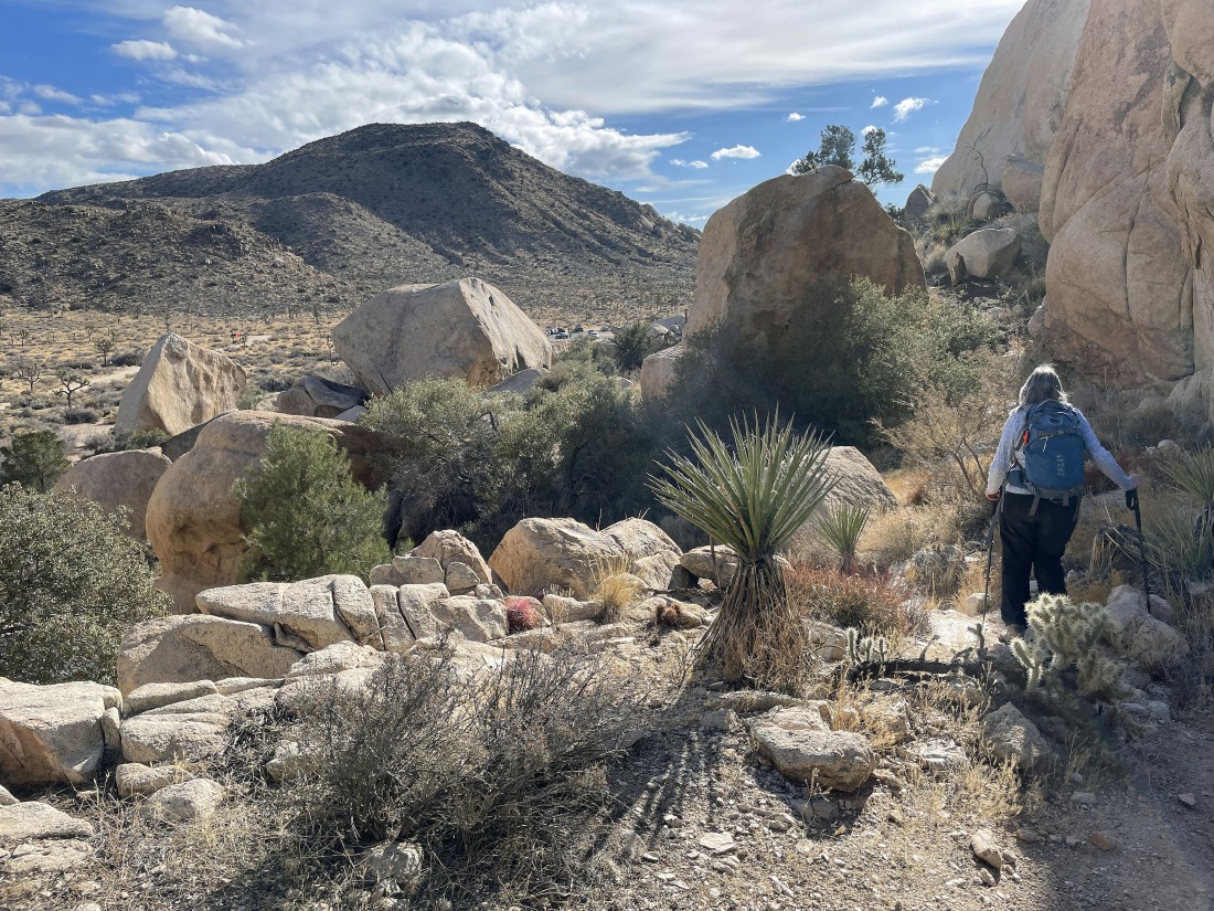
Now hiking south toward another valley that will lead us to Barker Dam on the west side of Valhalla Dome.
|
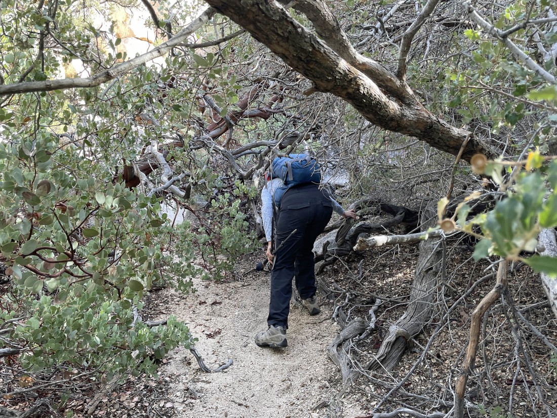
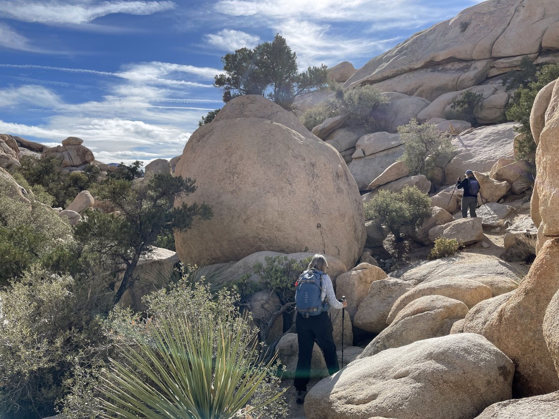
Dealing with a few trees and bushes along the way.
|
Entering the valley that will lead us to Barker Dam... some people refer to this valley as the 'Astrodome Approach Trail'.
|
Now hiking south on the west side (left) of Valhalla Dome... every step gets us closer to Barker Dam.
|
Barker Dam in the middle of the photo... I have not seen water here for several years.
|
Looking back at the Barker Dam area as we continue our loop hike... Valhalla Dome is in the right foreground.
|
Leaving the Barker Dam area we have chosen to take a seldom used route in order to avoid the masses of folks who use the popular trail.
|
Working our way back to the car.
|
Working our way back to the car.
|
Looking back toward the Barker Dam area as we continue hiking south as we close the loop portion of our hike.
|
Almost back to our car.
|
Almost back to our car... we can see the popular paved parking lot for the Barker Dam Trailhead.
|
Back to the trail that connects the paved parking lot for Barker Dam and the unpaved parking lot for Wall Street Mill.
|
Only a stone's throw to our car out there in the distance on the right... the total hike was 3.4 miles, gaining 383 feet of elevation.
|
