Twin Tanks Exploration - 1.16.2024
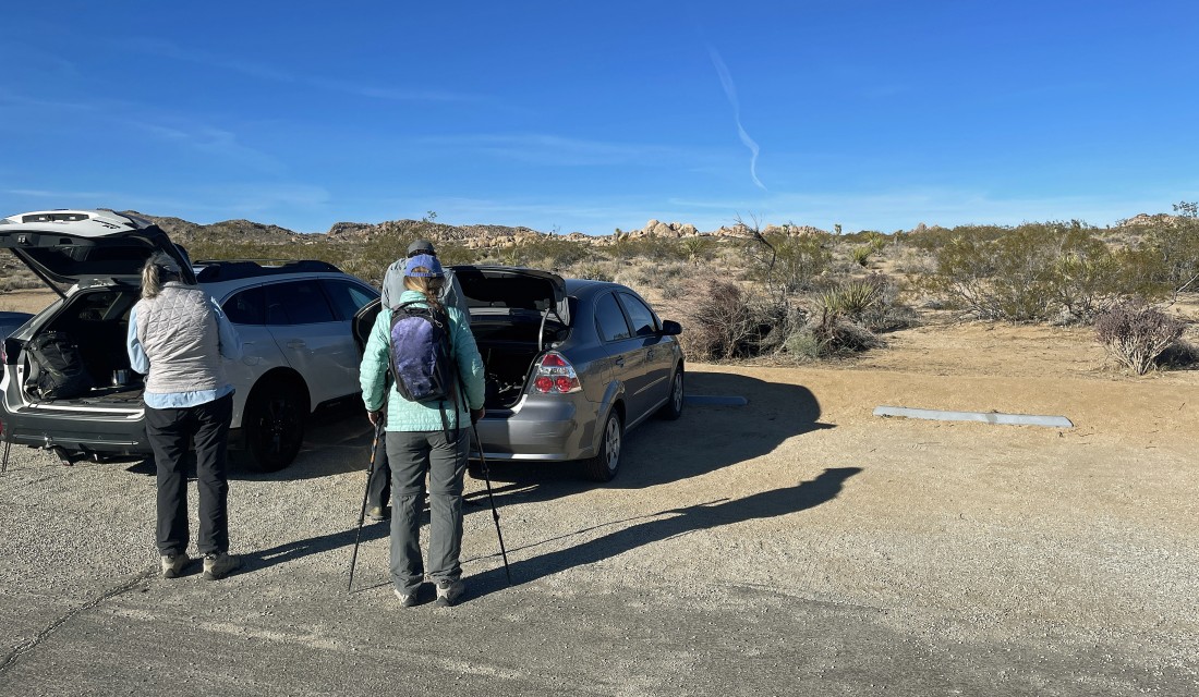
We parked at the Twin Tanks Trailhead... located next to the Pinto Basin Road... 2.2 miles south of the Pinto Wye.
|
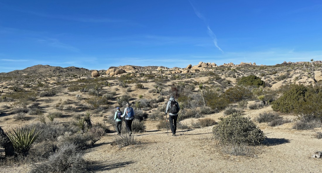
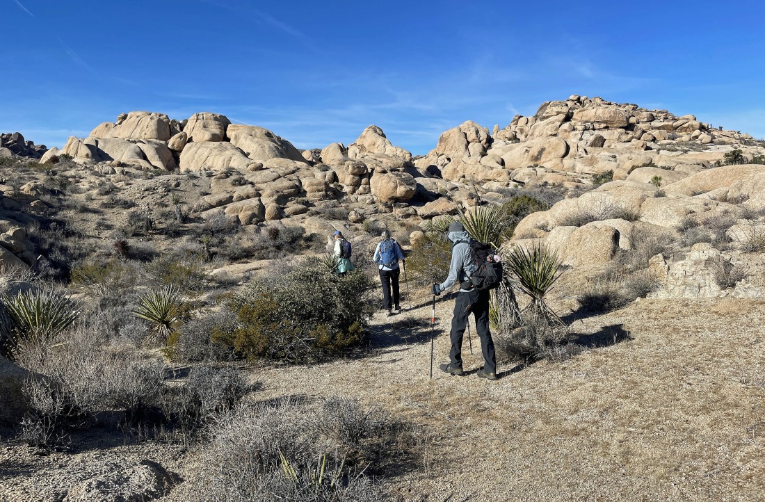
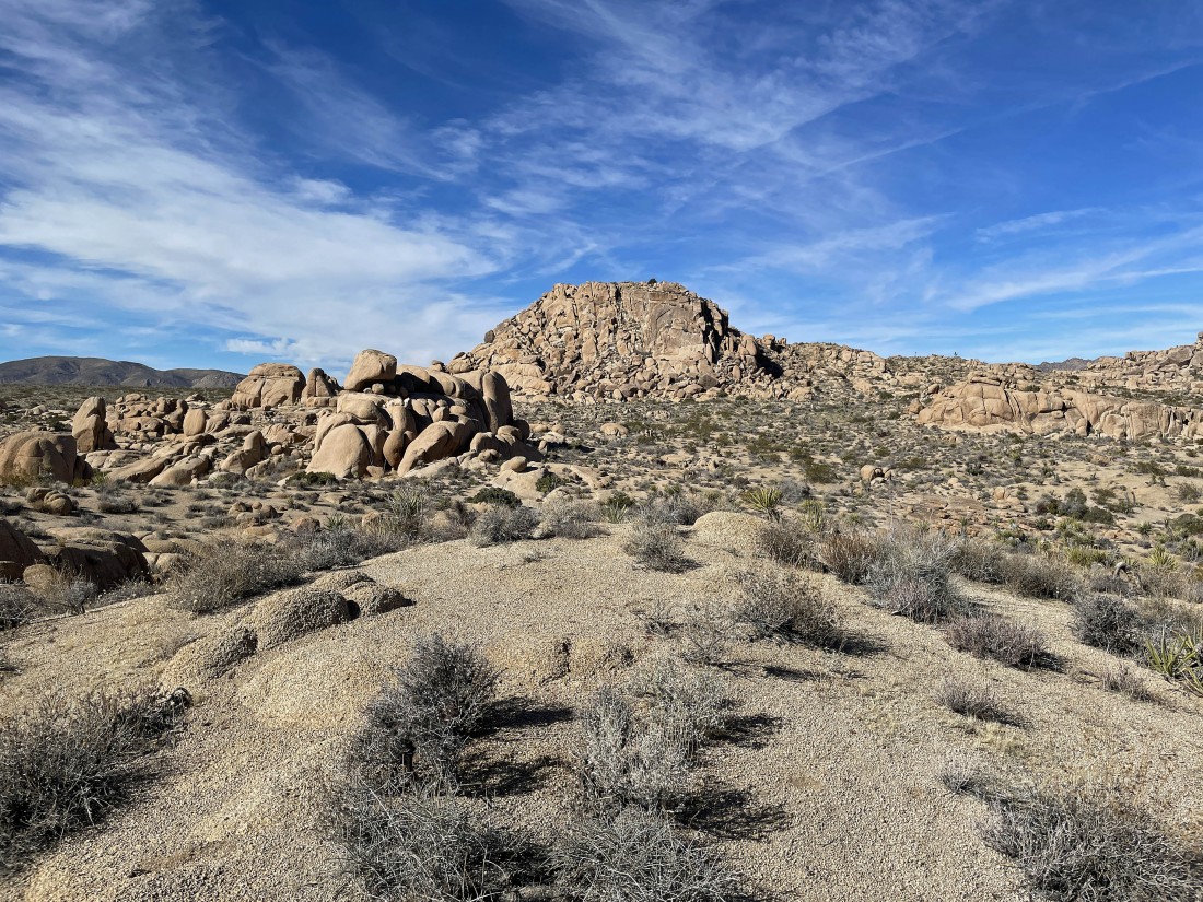
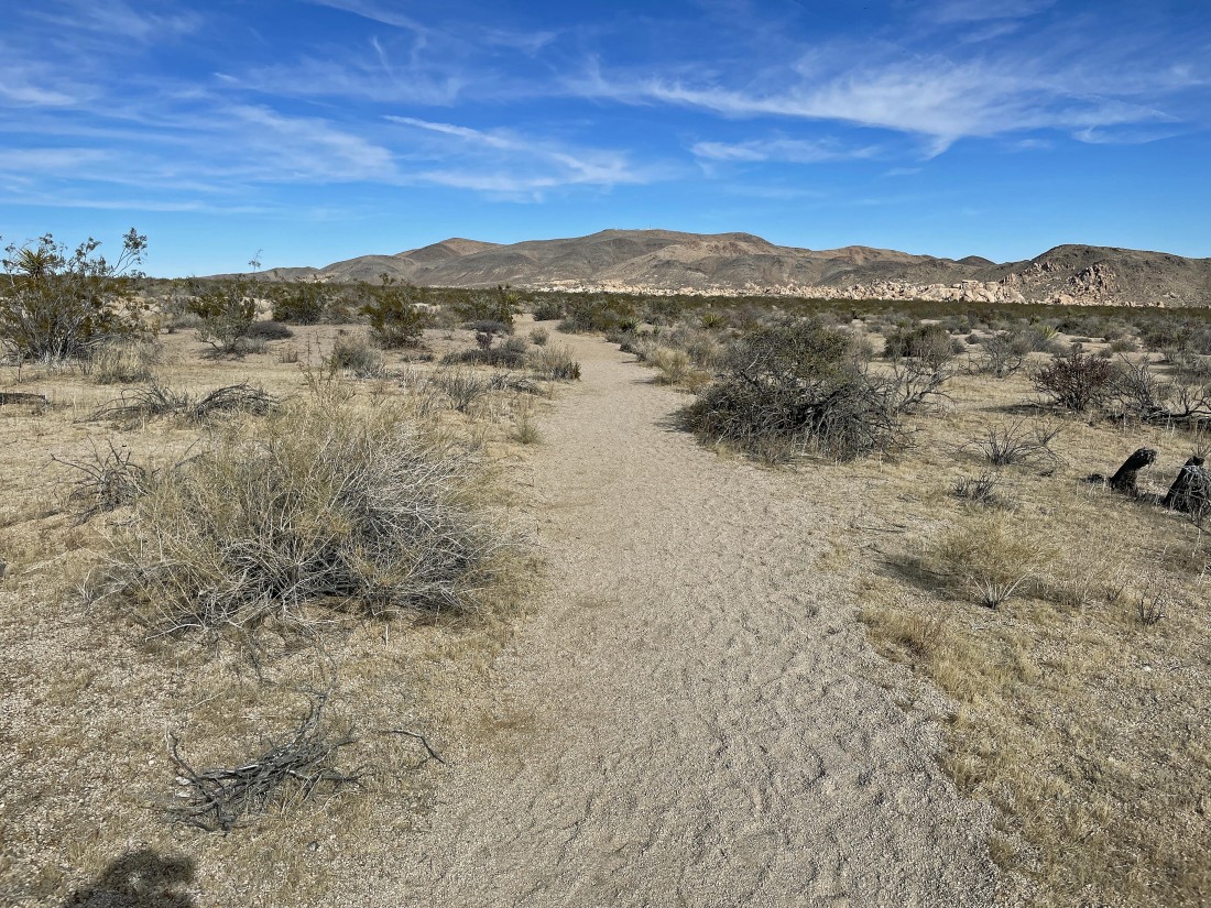
Hiking west from where we parked toward interesting rock formations.
|
Continuing to hike west.
|
Continuing to hike west.
|
Continuing to hike west.
|
|
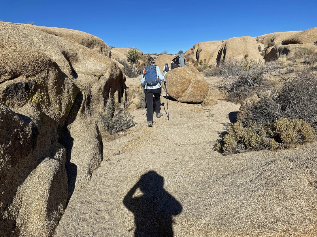
Continuing to hike due west.
|
Hiking SW now.
|
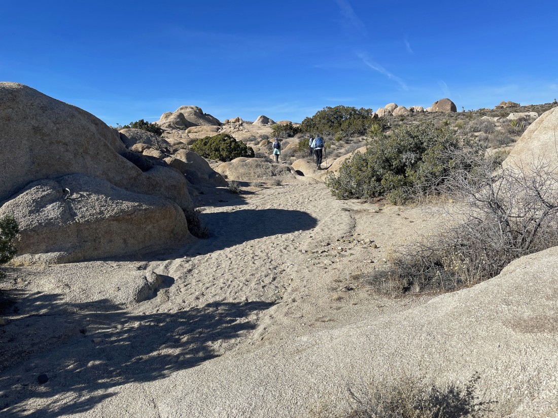
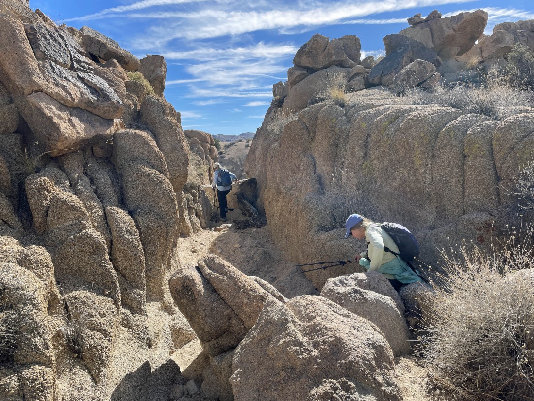
After hiking a total of 1.6 miles we have reached a shelf in the rocks that Crazy Horse and Denali Girl are exploring.
|
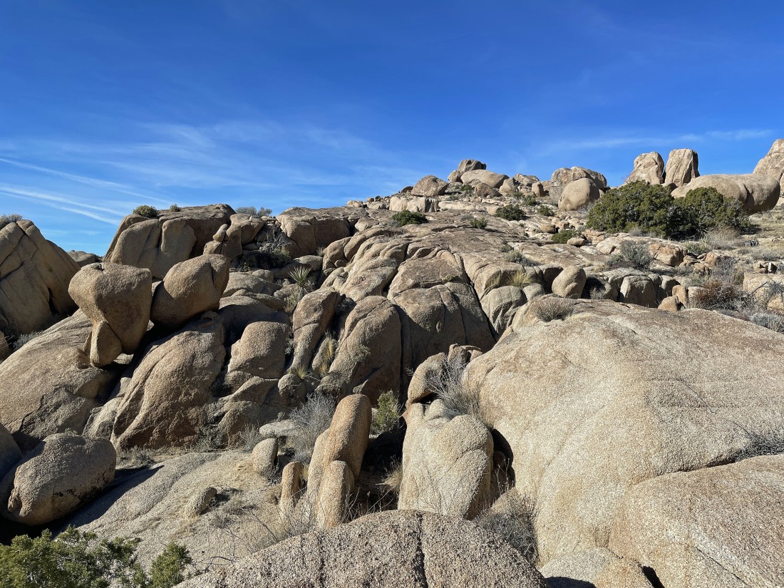
Awesome rock formations.
|

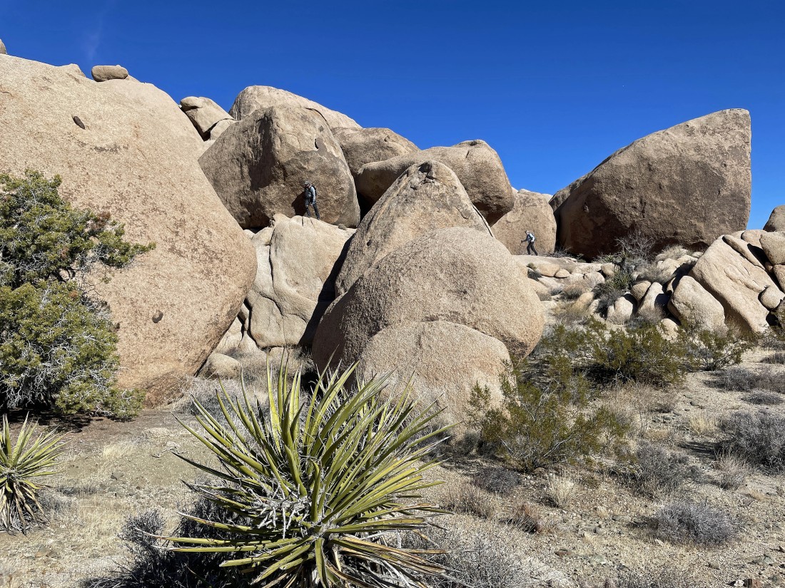
Denali Girl has found a way to come up to this rock shelf.
|

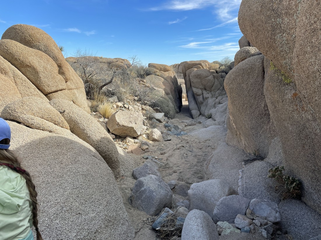
We found some petroglyphs under this massive boulder.
|
We found the petroglyphs in the huge boulders on the slanted shelf in the right half of the photo.
|
Continuing to hike SW... we can see Crown Prince Lookout out there on the left horizon.
|
We are going to head over to the interesting rock formation on the left... Crown Prince Lookout is in the right-center of the photo... with Point 4558 in the right foreground.
|
Getting ready to turn to the south and hike toward the rock formation in the distance on the left... with Crown Prince Lookout in the right foreground.
|
|
After hiking 2.9 miles we have reached the rock formations that were in the previous photo... this would be our high point for the day.
|
Looking over at Crown Prince Lookout from our high point... kind of obvious that the route up to the top of Crown Prince is not from this side.
|
Looking back at our route (right) that we used to get down from our high point... now hiking SE as we circumnavigate the Keyno Benchmark.
|

Crazy Horse went over to investigate this area while the rest of us decided to take a break.
|

Continuing our loop hike... with Pinto Basin (2500 feet lower than where we are now) way out there.
|
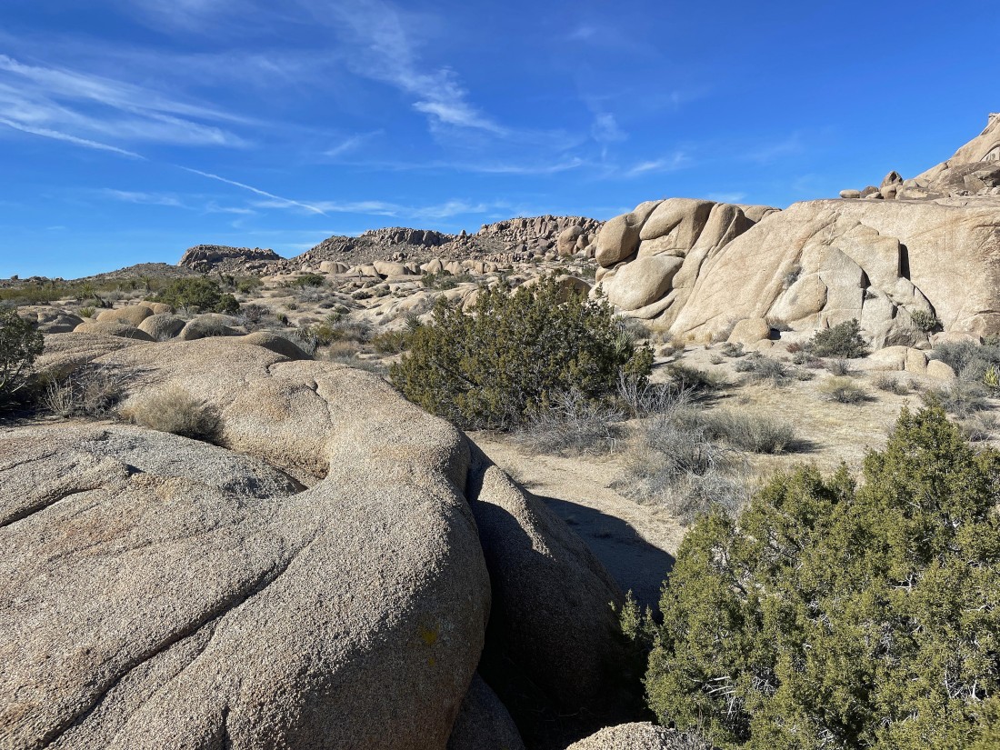
More interesting terrain.
|

Continuing to hike SE.
|
Continuing to hike SE... yes, we were able to get through the narrow passage.
|
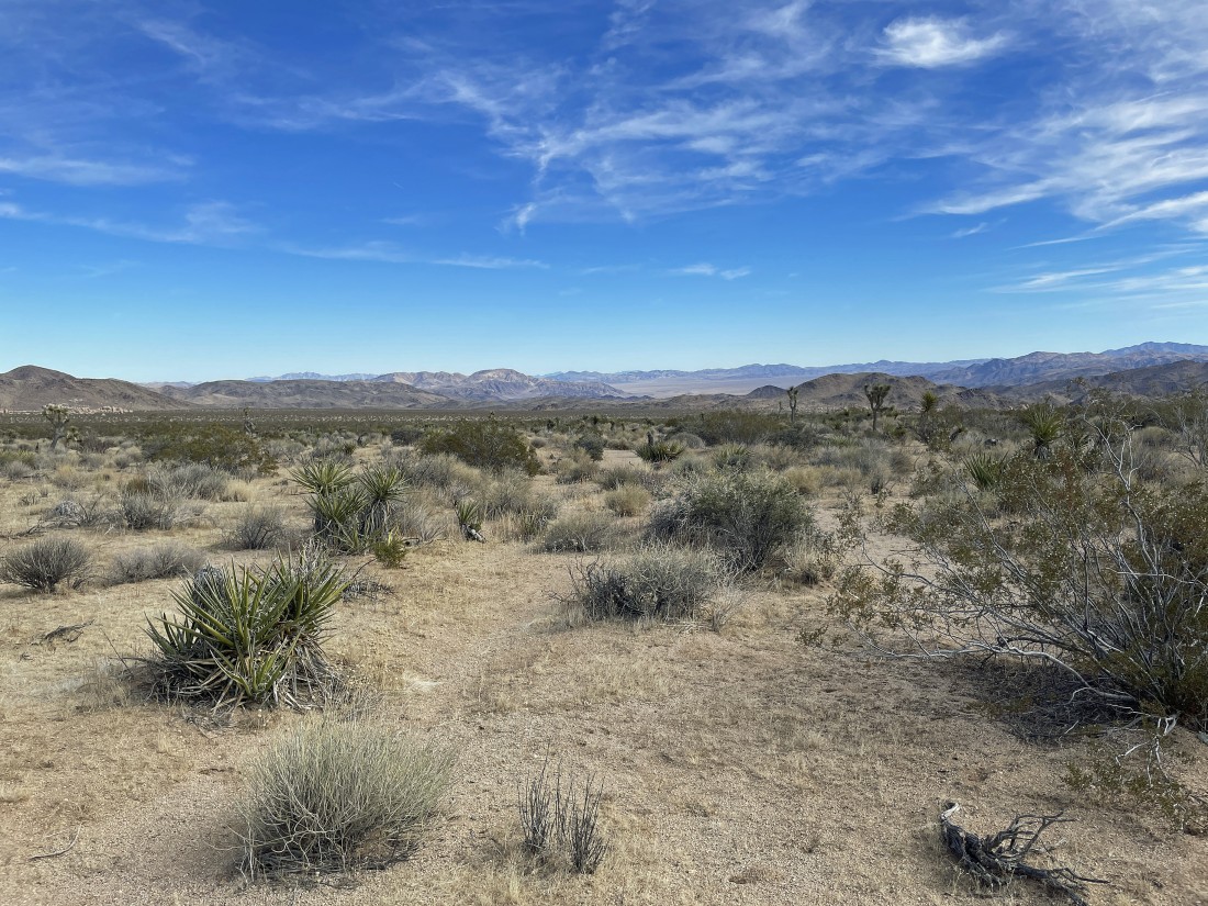
Continuing to hike SE with Pinto Mountain and Pinto Basin way out there in the distance.
|
After hiking a total of 4.9 miles we have reached the 'California Riding and Hiking Trail'... and we will follow it NE back to our cars to complete the hike... the loop hike was a total of 5.7 miles, gaining 550 feet of elevation.
|
