Quail Mountain and Mount Minerva Hoyt - 1.30.2024
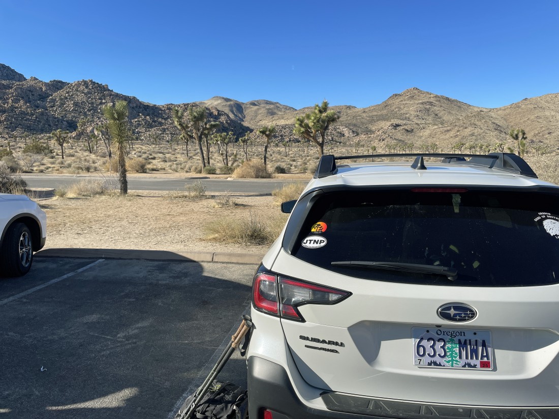
We parked at the Quail Springs parking lot in Joshua Tree National Park... our plan is to summit the two mountains out there on the left-center horizon.
|

We have left the parking lot and are crossing a huge, but unnamed valley that is the home of Quail Wash and Quail Springs... our destination is out there on the left-center horizon.
|
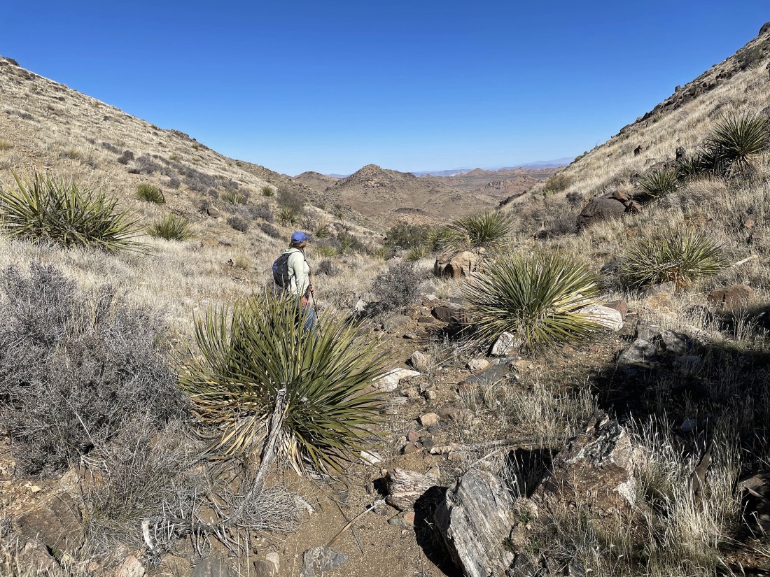
After hiking a total of .7 miles we have started to gain elevation... here looking back at the unnamed valley... Queen Mountain and Ryan Mountain are on the horizon... and the massive rock formations in the right foreground are those that stand above the Lost Horse Ranger Station.
|
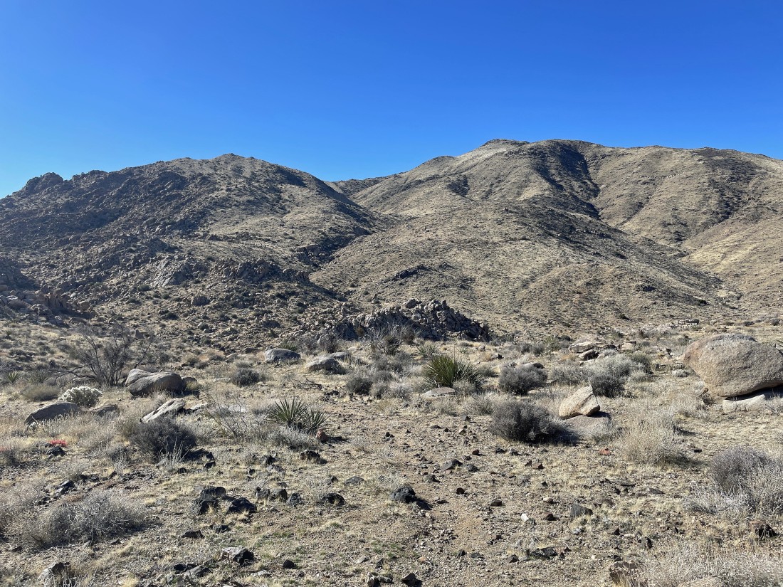
Continuing to gain elevation... we are heading for that gully out there in the center of the photo... with Lang Peak on the left side of the gully... and Mount Minerva Hoyt on the right side of the gully... and we won't see Quail Mountain again until we get up closer to Mount Minerva Hoyt.
|
Still on a good trail... getting ready to give up a little elevation to go down and cross Johnny Lang Canyon before we start to gain elevation again on our way up to the gully in left-center of the photo.
|
We have crossed Johnny Lang Canyon and heading toward Lang Mine Peak on the far left... and we can no longer see the summit of Mount Minerva Hoyt.
|
Heading for the gully in the left-center of the photo... with Lang Mine Peak to the left of the gully... and Mount Minerva Hoyt on the right side of the gully.
|
Looking back where we came from.
|
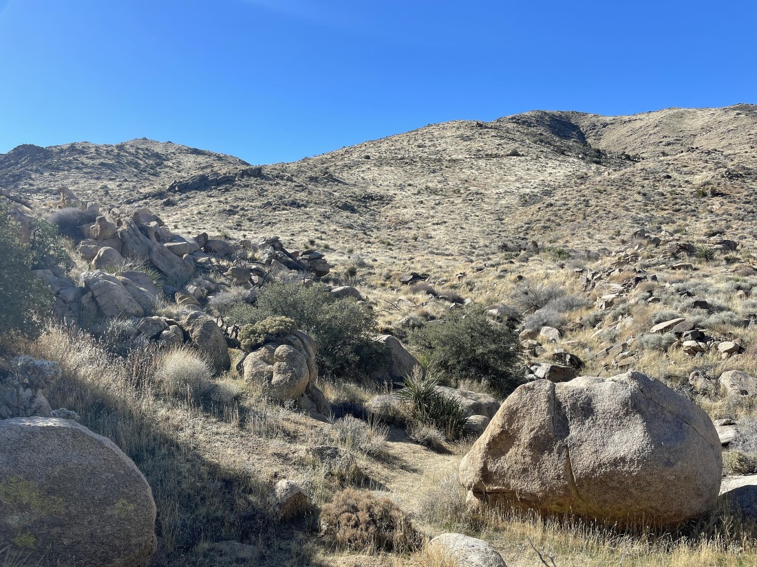
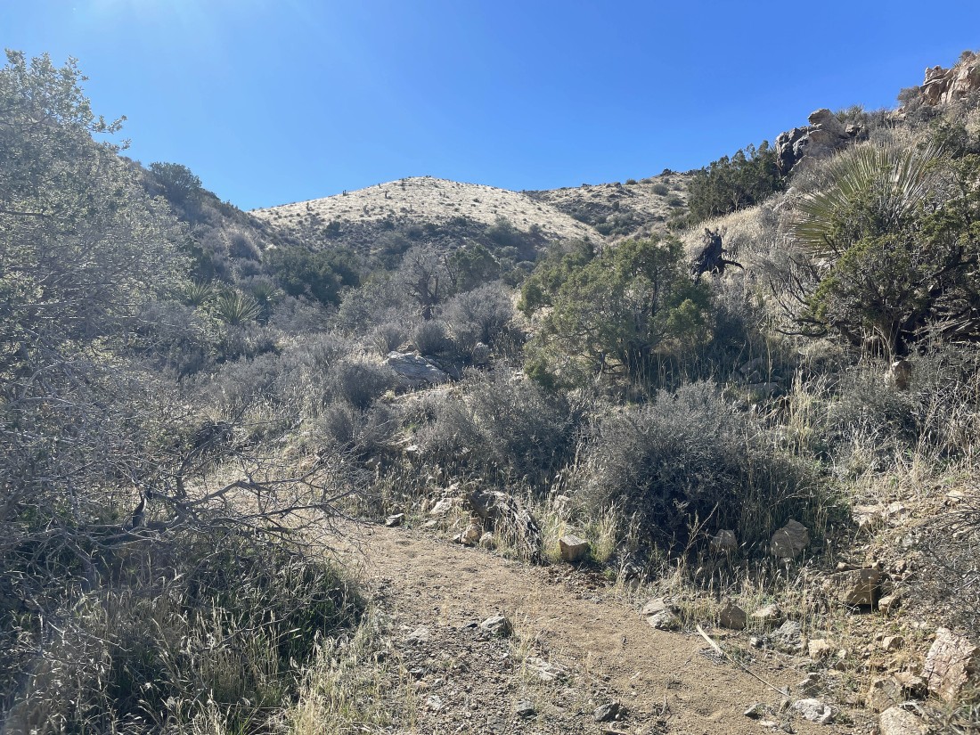
Getting ready to enter the gully... with Lang Mine Peak up there on the left.
|

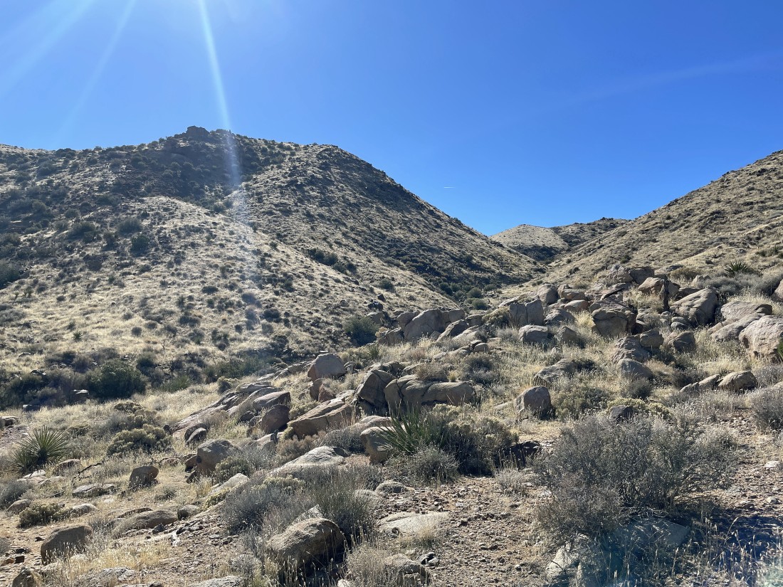
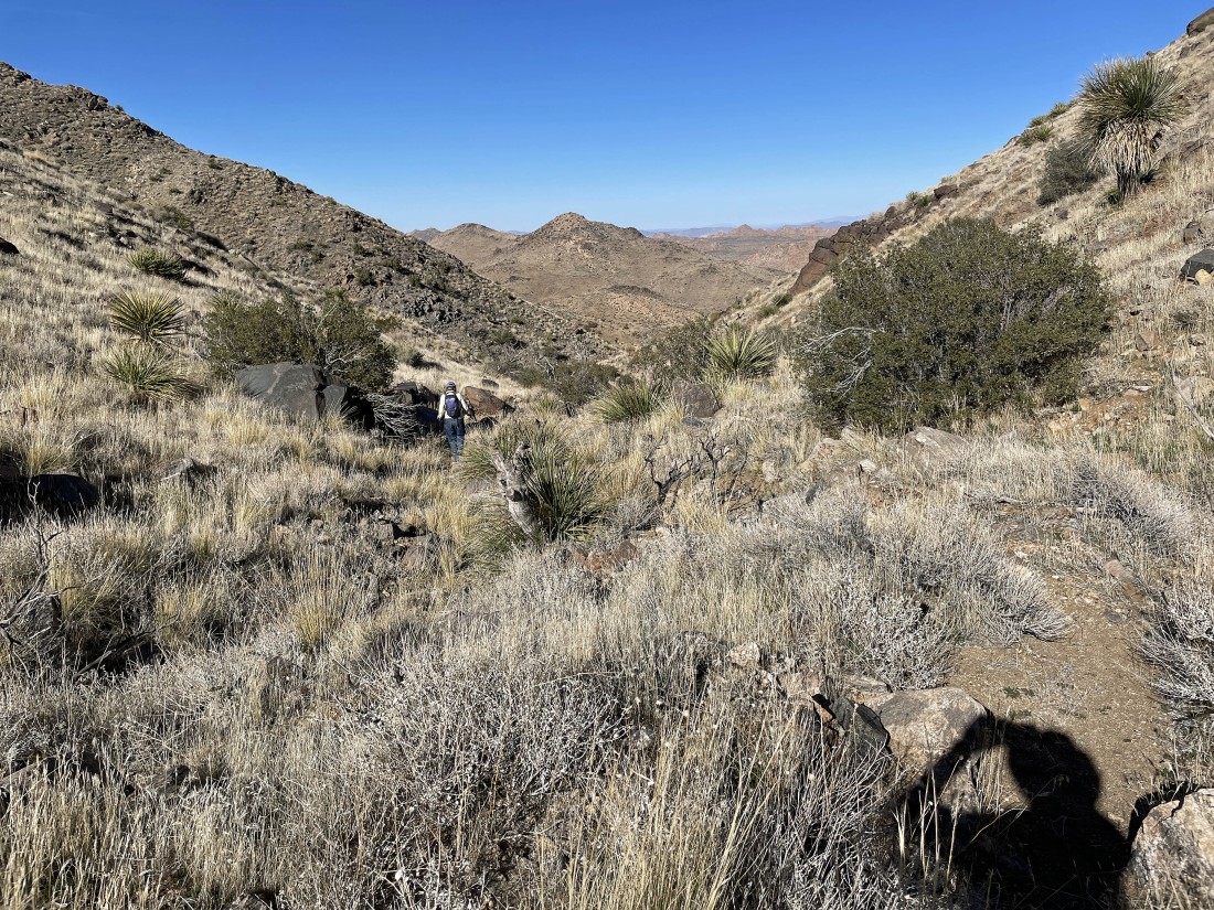
After hiking a total of 2.6 miles we have entered the gully between Lang Mine Peak and Mount Minverva Hoyt... and we found some human tracks in the gully.
|
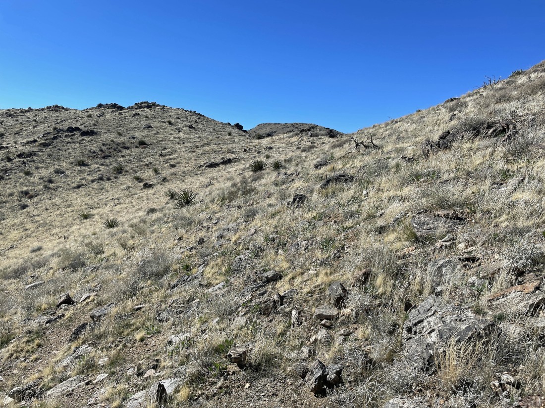
Gaining elevation in the gully... here looking back to where we came from.
|
After hiking a total of 3 miles the vegetation in the gully makes us choose to leave the gully on the right side and continue to gain elevation on our way up to Mount Minerva Hoyt.
|

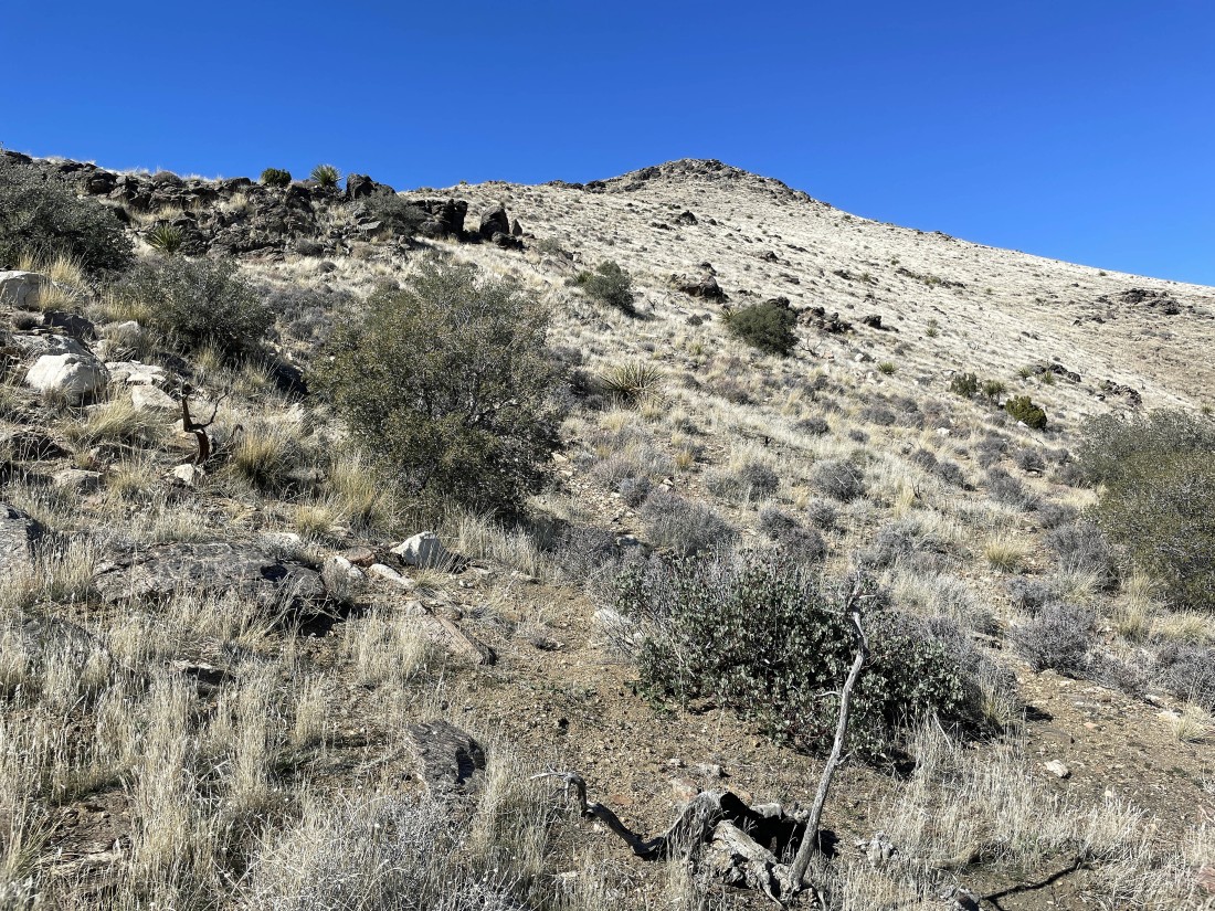
Continuing to gain elevation just above the gully... here looking back at Lang Mine Peak on the far left.
|
Getting closer to Mount Minerva Hoyt... here looking back at Lang Mine Peak in the center of the photo.
|
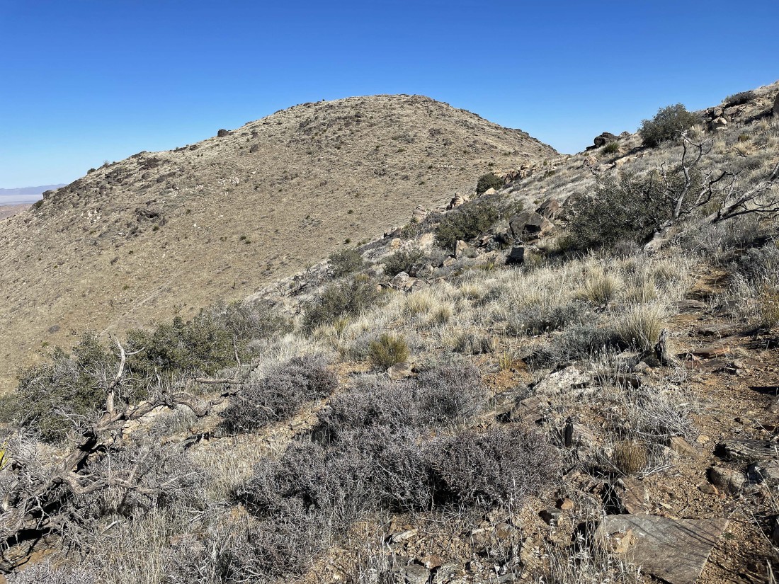
After hiking a total of 3.2 miles we have reached the SE ridge of Mount Minerva Hoyt... 400 more feet of elevation gain will put us on the summit up there on the far left.
|
Gaining elevation on Mount Minerva Hoyt's SE ridge.
|
After hiking a total of 3.5 miles we are at an elevation of 5200 feet... 200 feet below the summit of Mount Minerva Hoyt (not in this photo)... and we can finally see Quail Mountain again... out there in the center of the photo.
|

I decided to head over to Quail Mountain and then do Mount Minerva Hoyt when I return... Star Dancer said she would wait for my return before heading up to Mount Minerva Hoyt.
|
Looking back at Mount Minerva Hoyt as I head for Quail Mountain.
|
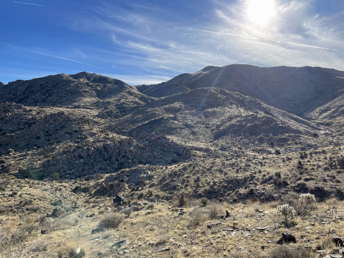
There is going to be a few ups and downs as I work my way over to the SE ridge of Quail Mountain.
|

Reeling in the summit of Quail Mountain.
|
After hiking a total of 4.7 miles I have reached the 5816 foot summit of Quail Mountain.
|

On the Quail Mountain summit... looking NE beyond Mount Minerva Hoyt and the rock formations above the Lost Horse Ranger Station... then beyond the Wonderland of Rocks to Queen Mountain on the horizon.
|

On the Quail Mountain summit... looking east across Lost Horse Valley to Ryan Mountain in the center of the photo.
|
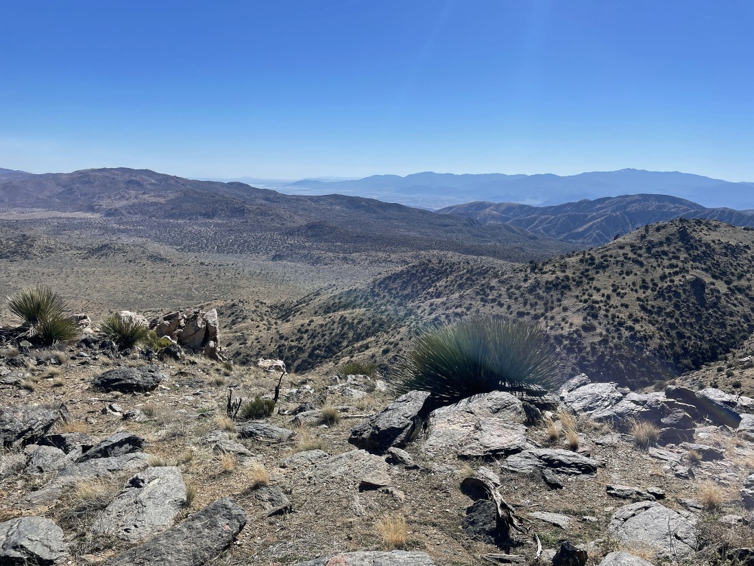
On the Quail Mountain summit... looking south beyond the Little San Bernardino Mountains in the foreground to the Santa Rosa Mountains on the right horizon... Coachella Valley is between the two mountain ranges.
|

On the Quail Mountain summit... looking SW beyond the Little San Bernardino Mountains to the San Jacinto Mountains on the horizon
|
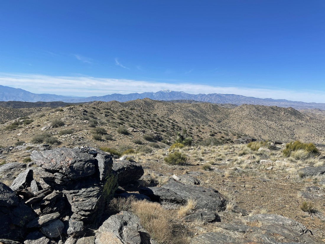
On the Quail Mountain summit... looking NW to San Gorgonio Mountain on the horizon... at 11,503 feet it is the high point in southern California.
|

I have left the summit of Quail Mountain and heading back to Mount Minerva Hoyt... and yes, it will take a few ups and downs to get back there... Queen Mountain is on the far right horizon.
|
After hiking a total of 6 miles I have returned to hook up with Star Dancer... and we will gain the 200 feet of elevation to get up to the summit of Mount Minerva Hoyt in the left foreground.
|
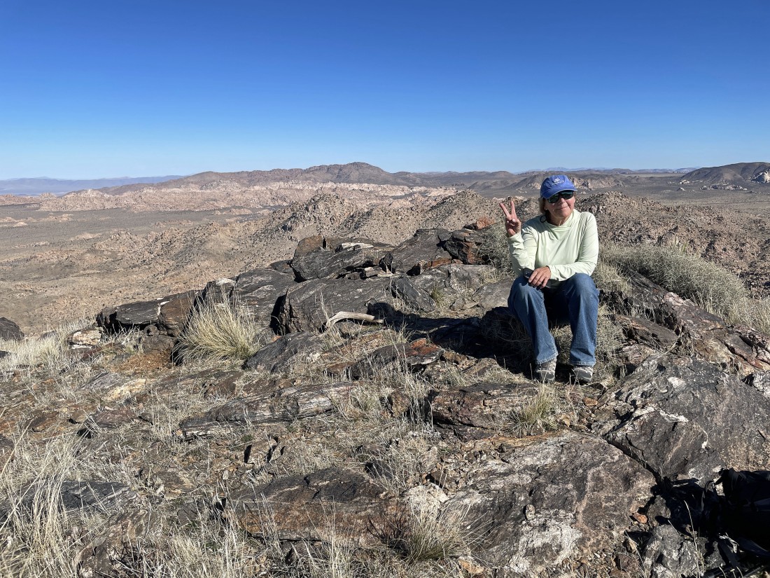
Star Dancer relaxes on the summit (5405 feet) of Mount Minerva Hoyt.
|
|
From the summit of Mount Minerva Hoyt... looking NW (left) to the SE (right).
|
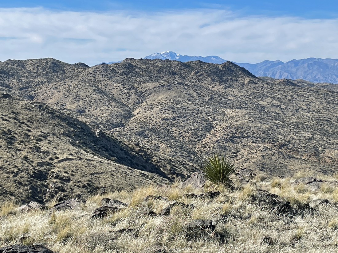
On the Quail Mountain summit... not a very good zoom photo, but it does show San Gorgonio Mountain on the horizon.
|

We have left Mount Minerva Hoyt and are more or less tracing our steps back down the mountain.
|
Back in the gully we used on the way up.
|
Continuing to lose elevation... here looking back at our gully between Lang Mine Peak on the left... and Mount Minerva Hoyt on the right.
|
|
Continuing to lose elevation... Johnny Lang Canyon goes out to the valley through the gap on the left... but we will pick up the trail that goes over the ridge in the right-center of the photo.
|
We have crossed Johnny Lang Canyon and picked up a real trail... here looking back at Lang Mine Peak on the left and Mount Minerva Hoyt on the right.
|
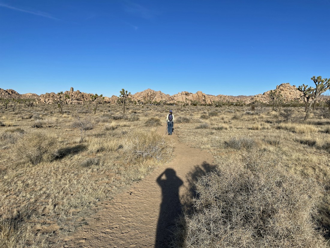
So nice to be back on a real trail as it takes us back to the unnamed valley... and the length of my shadow says that the sun is going down.
|

After hiking a total of 9 miles we are getting ready to re-enter the unnamed valley.
|
Almost back to the Quail Springs parking lot... the hike was a total of 9.8 miles, gaining 2690 feet of elevation.
|
