Mecca Hills Wilderness - 2.9.2024
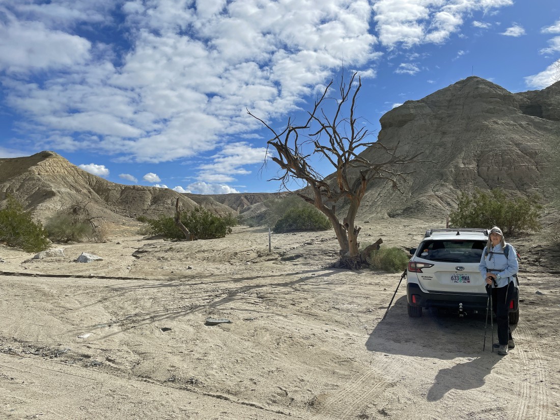
From the town of Mecca, California we drove east on 66th Avenue which changes to Box Canyon Road near the Coachella Canal... and from the canal we continued 5.5 miles on Box Canyon Road... then turned right and drove an eighth of a mile on sand where we parked at an unsigned trailhead for the Hidden Springs Trail.
|
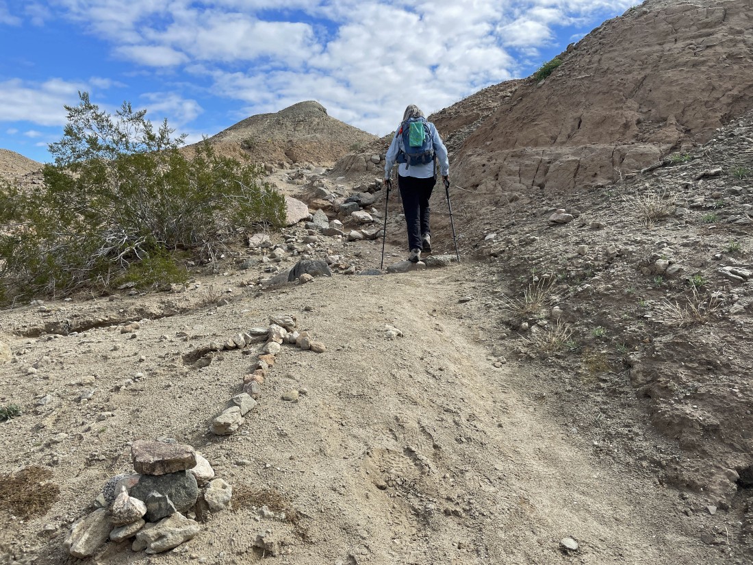
Hiking on the Hidden Springs Trail.
|

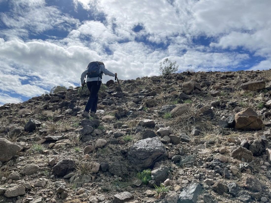
Getting ready to gain a little elevation on the Hidden Springs Trail.
|
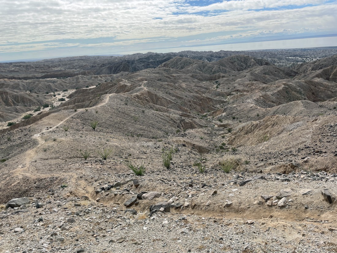
A quarter mile from our car we get our first view of the Salton Sea... located 230 feet below sea level... the trail will take us up to the bump in the left foreground.
|
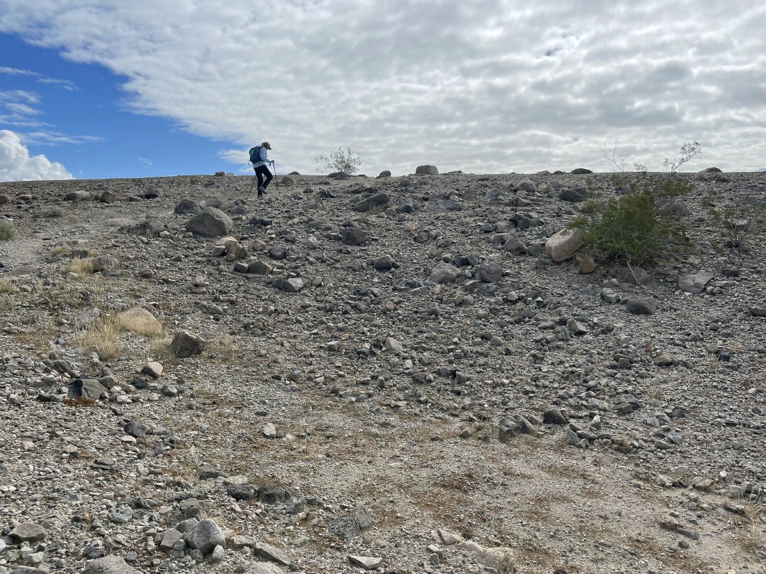
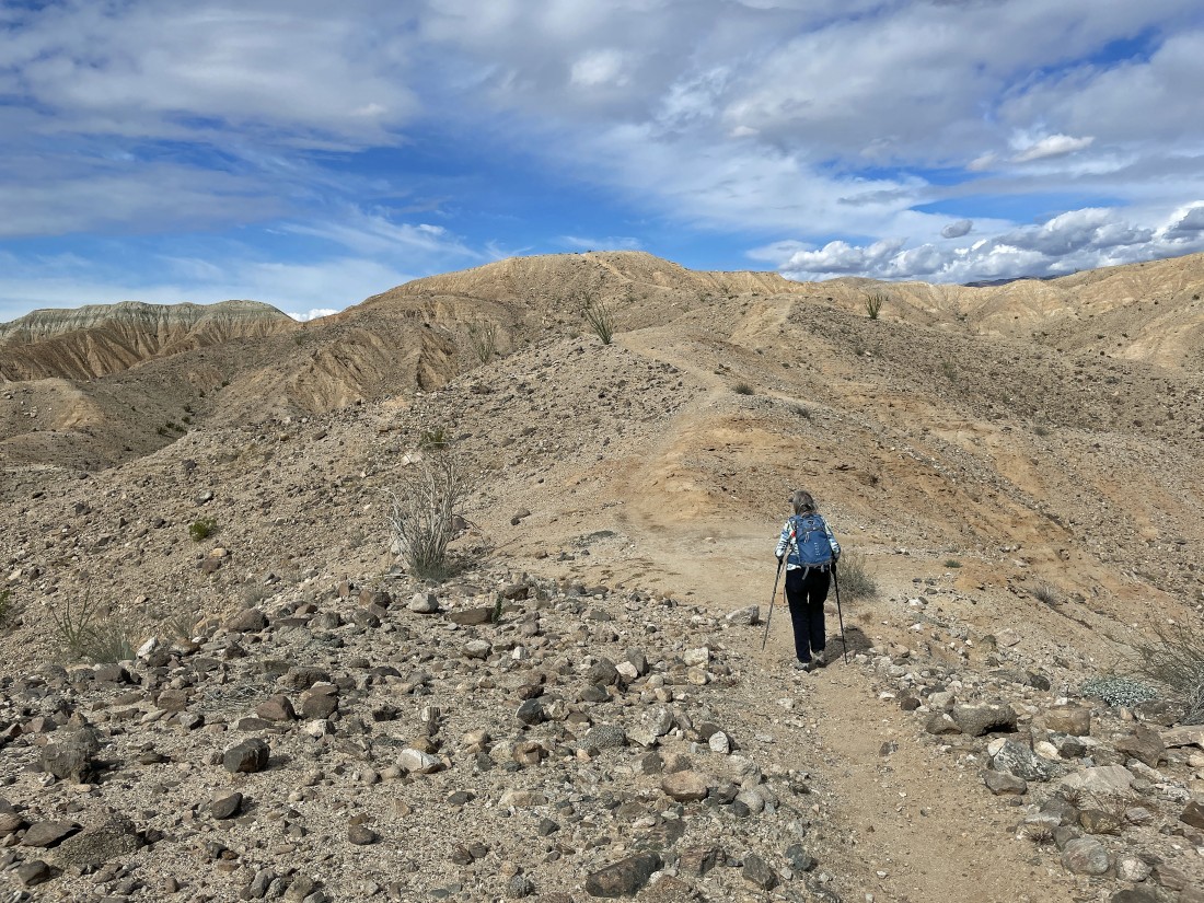
Denali Girl nears the high point of our hike.
|
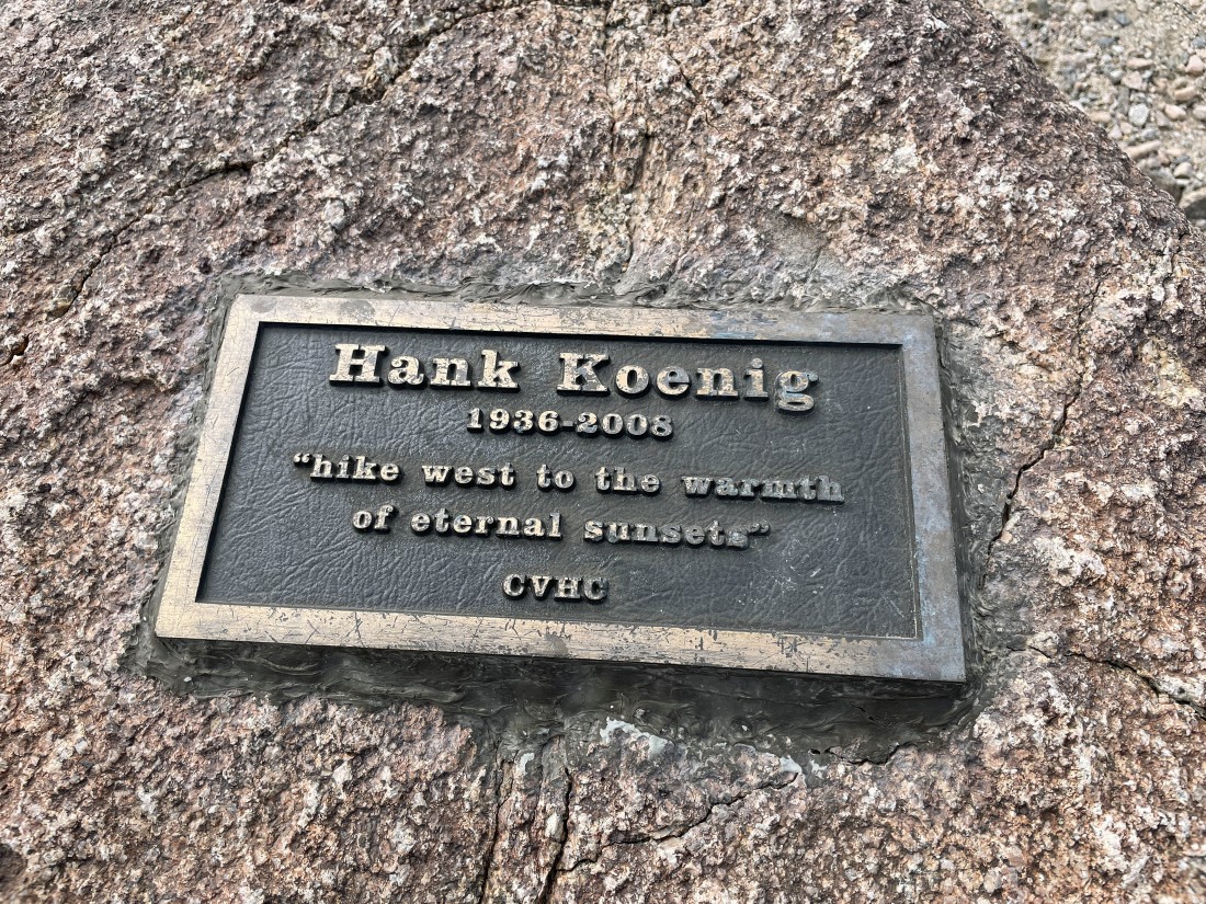
After hiking a third of a mile we have reached the Hank Koenig memorial at an elevation of 814 feet... Hank was a co-author of the book... '140 Great Hikes in and near Palm Springs'... a very good book in my opinion.
|
From the Hank Koenig memorial Denali Girl is looking South and SW to the Salton Sea... with the Santa Rosa Mountains on the right horizon.
|
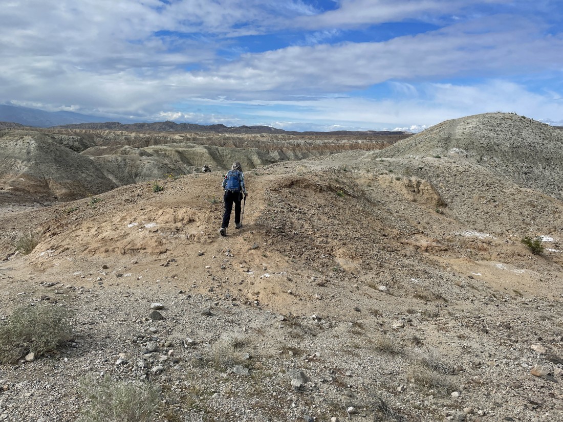
Getting ready to leave the Hank Koenig memorial and give up some elevation as we continue hiking south on the Hidden Springs Trail.
|

Continuing to hike south on the Hidden Springs Trail... with the Orocopia Mountains on the horizon.
|

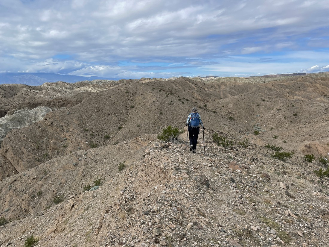
After hiking a half mile on the Hidden Springs Trail we will leave the trail and follow an obvious path over to the two bumps on the horizon... doing the bump on the left first... then working our way back to the bump on the right.
|
|
Heading for the bump in the center of the photo... we can see the Salton Sea... with the Orocopia Mountains on the far left horizon.
|
The path leading to the first bump kind of disappeared near the summit.
|
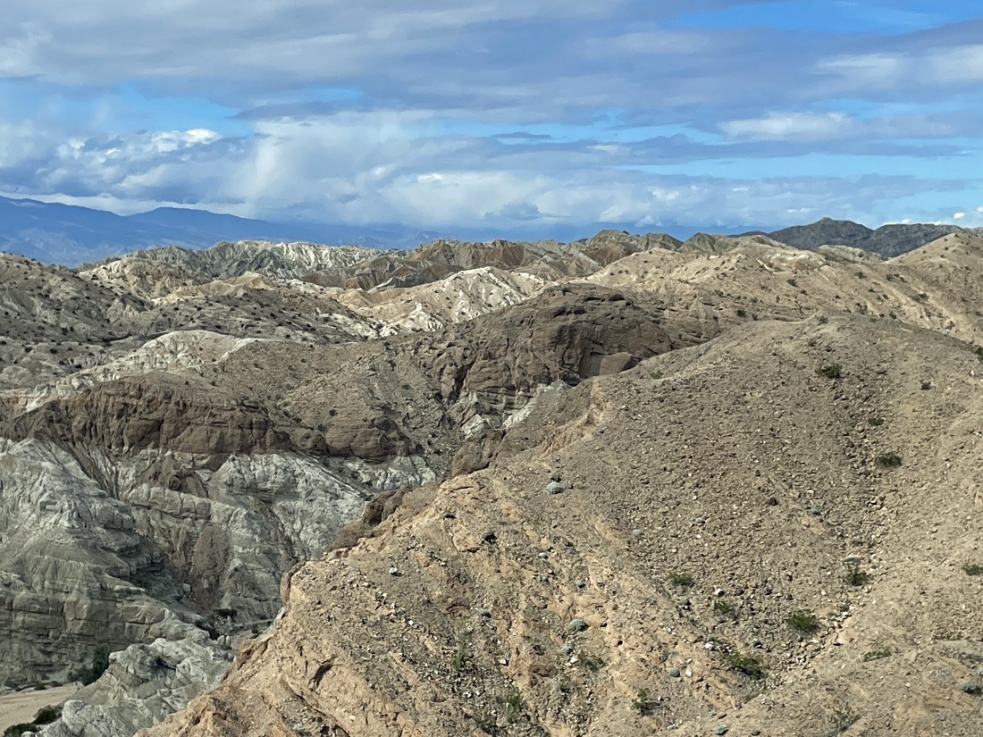
After hiking a total of 1.1 miles we have reached our first bump at 689 feet of elevation... with the Salton Sea between the Orocopia Mountains on the far left horizon... and the Santa Rosa Mountains on the far right horizon.
|
Looking NW (toward Palm Springs) beyond the Mecca Hills to the Santa Rosa Mountains on the far left horizon.
|
Looking NW from our first bump to what will be our second bump in the right foreground.
|
|
From our first bump... looking NE and east beyond the Mecca Hills to the Orocopia Mountains in the right center of the photo.
|
Looking SW and west beyond the Mecca Hills to the Salton Sea and the Santa Rosa Mountains.
|
Time to leave our first bump and head for our second bump in the foreground.
|
Denali Girl gets ready to step onto the summit of our second bump... with the first bump on the far left horizon.
|

After hiking a total of 1.2 miles we have reached the summit (679 feet) of the second bump... here looking back at the first bump in the foreground.
|
|
A pano shot from the second bump.
|
After hiking a total of 1.8 miles we have returned to the Hidden Springs Trail... and tracing our steps back to the Hank Koenig memorial in the distance.
|
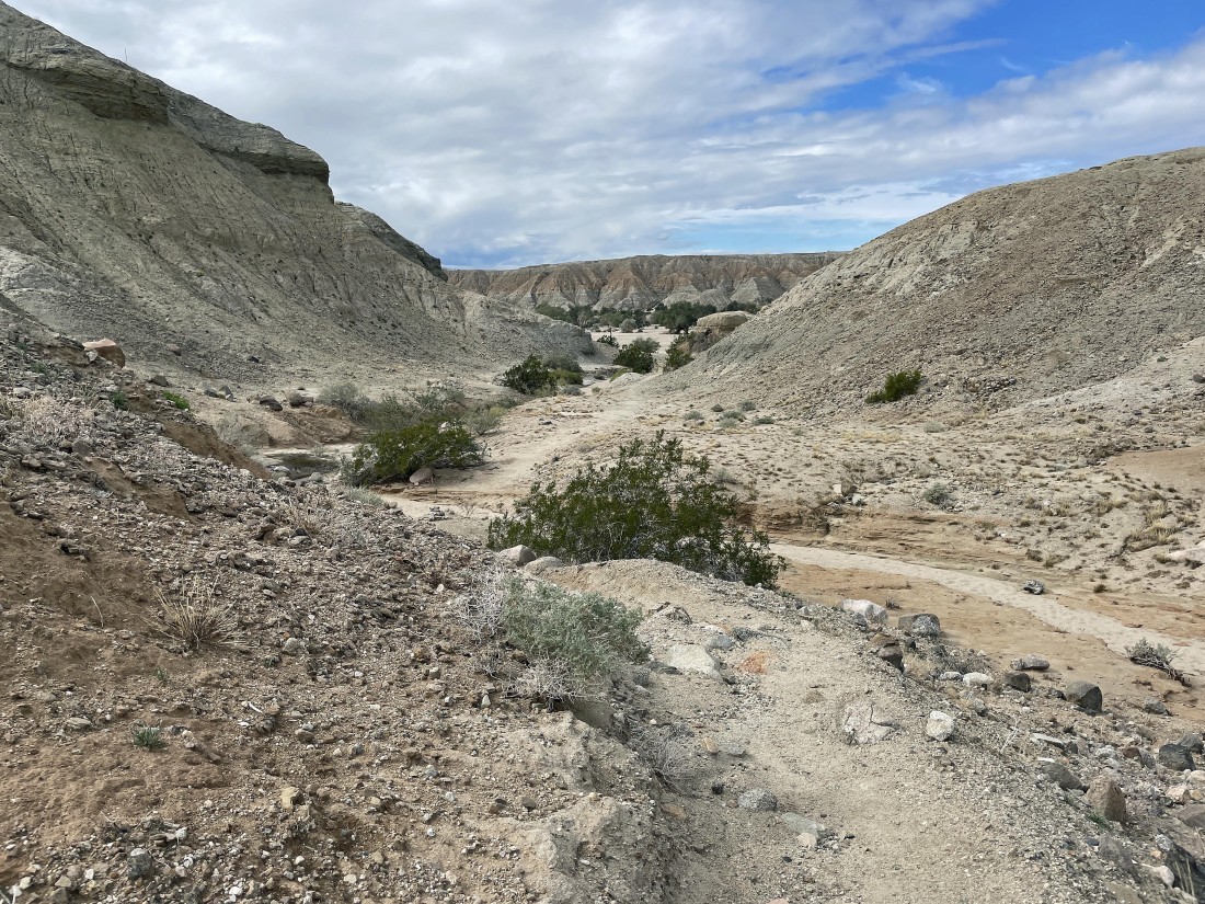
Having just left the Hank Koenig memorial we decided to take a slightly different way down.
|
Working our way back to the car parked out there in Box Canyon... in the middle of the photo.
|
Almost back to our car... the hike was a total of 2.2 miles, gaining 444 feet of elevation.
|
