Crown Prince and Twin Tanks - 3.11.2024
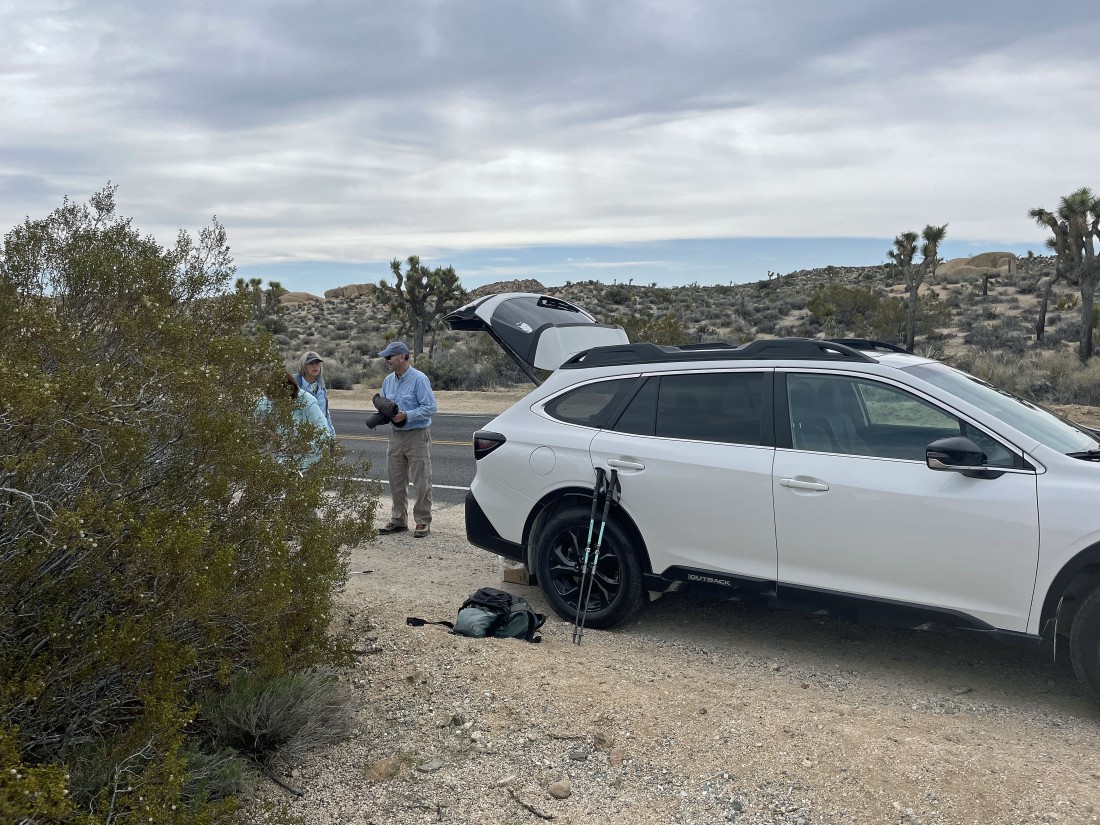
We parked on the side of the road... a quarter mile SW of the entrance to Jumbo Rocks Campground in Joshua Tree National Park... and our first destination will be the Crown Prince Lookout... on the horizon above the tailgate on our car.
|
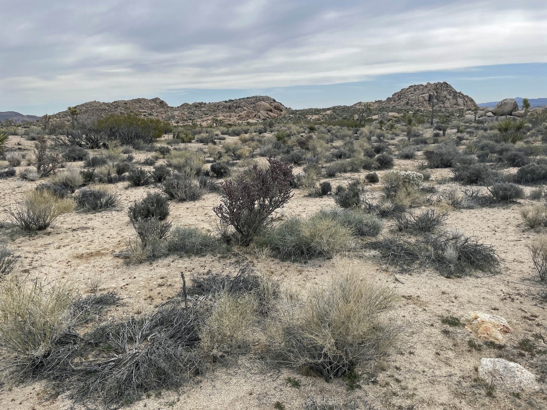
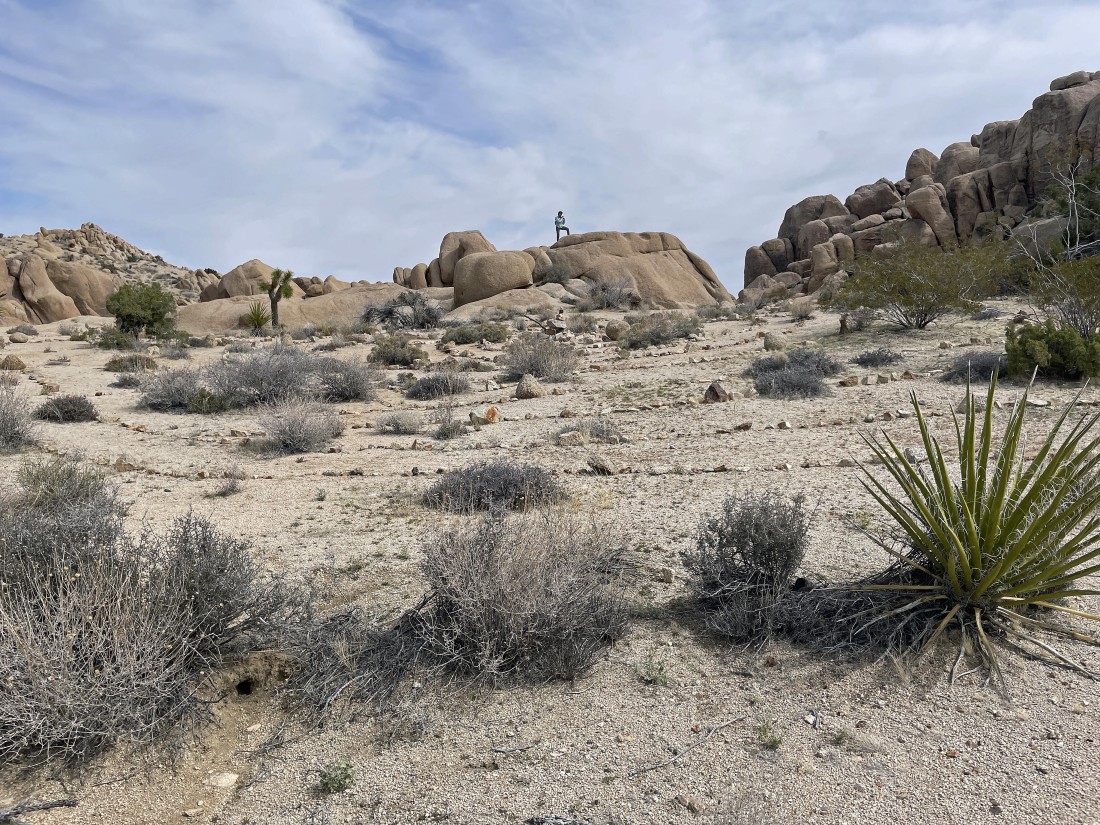
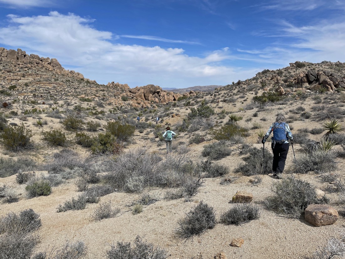
Hiking across the desert floor toward Point 4558 in the middle of the photo... with Crown Prince on the right.
|
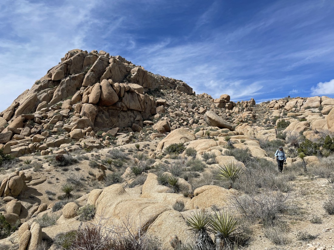
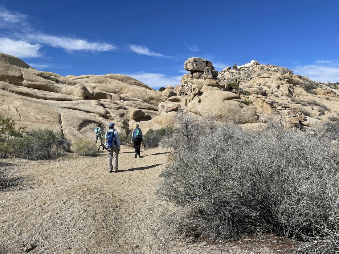
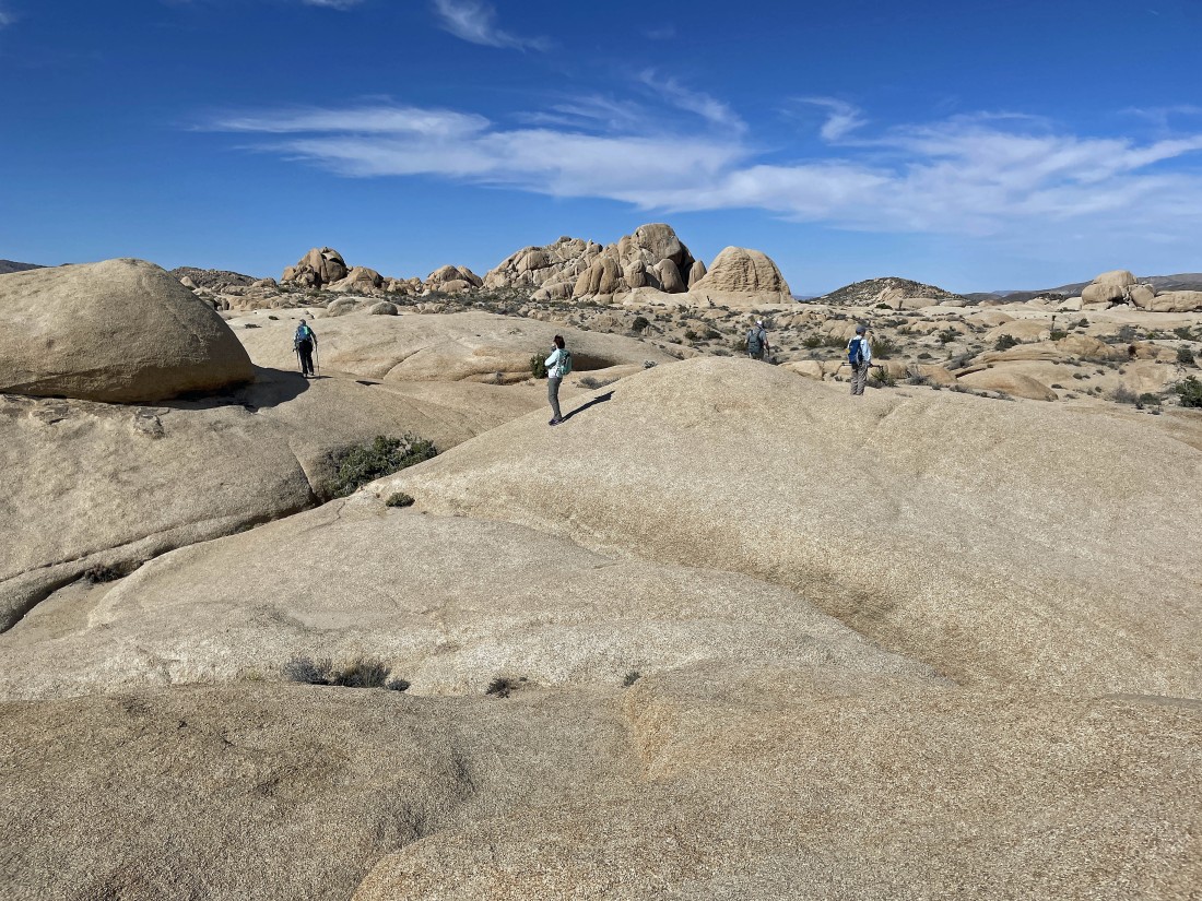
Hiking toward Point 4558 on the horizon.
|
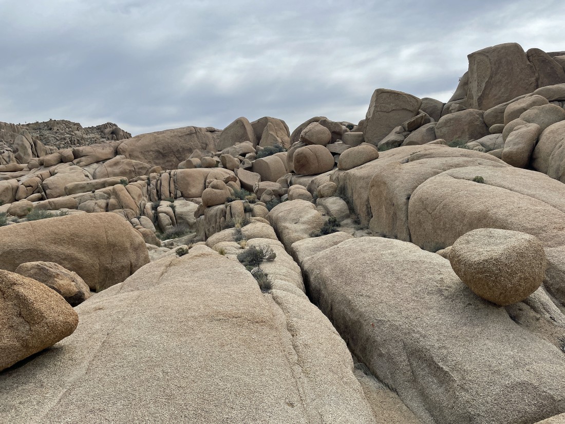
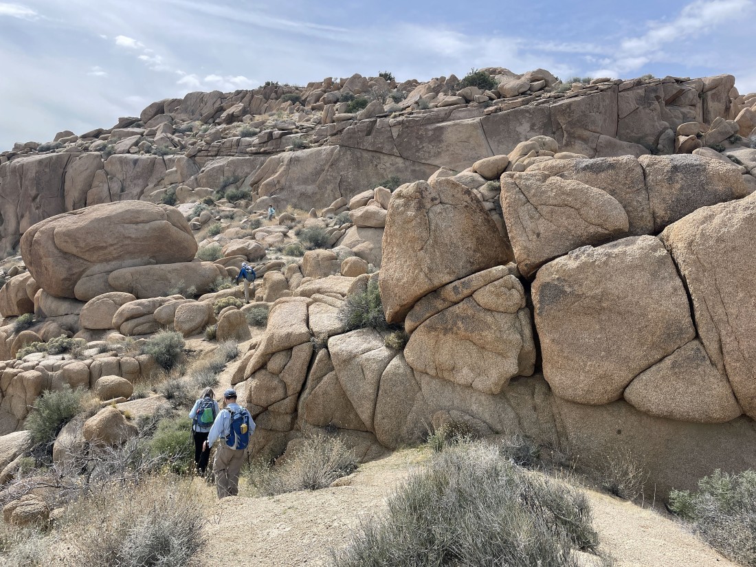
Going to do a little scrambling as we work our way over to Point 4558.
|
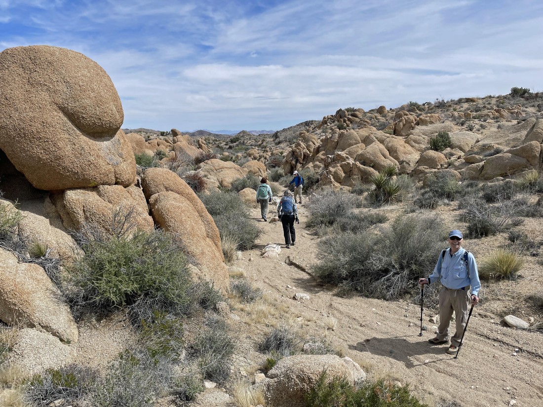
Looking back at the gang as we head over to Point 4558.
|
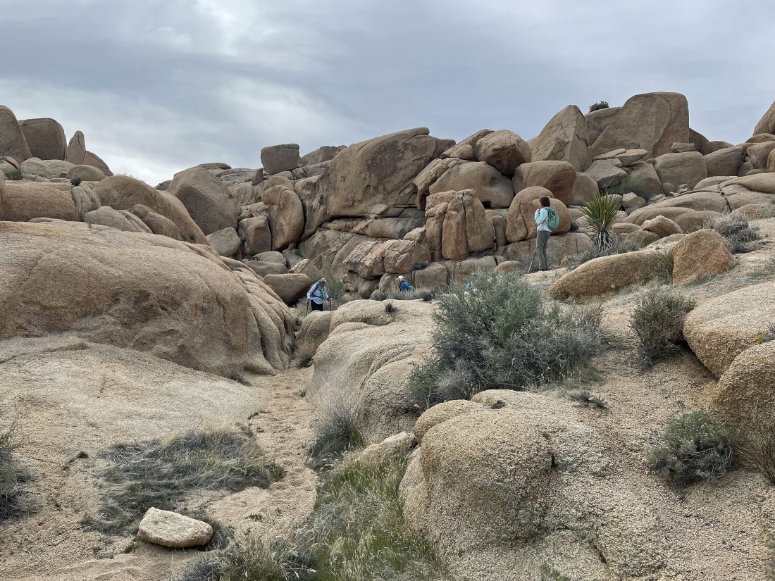
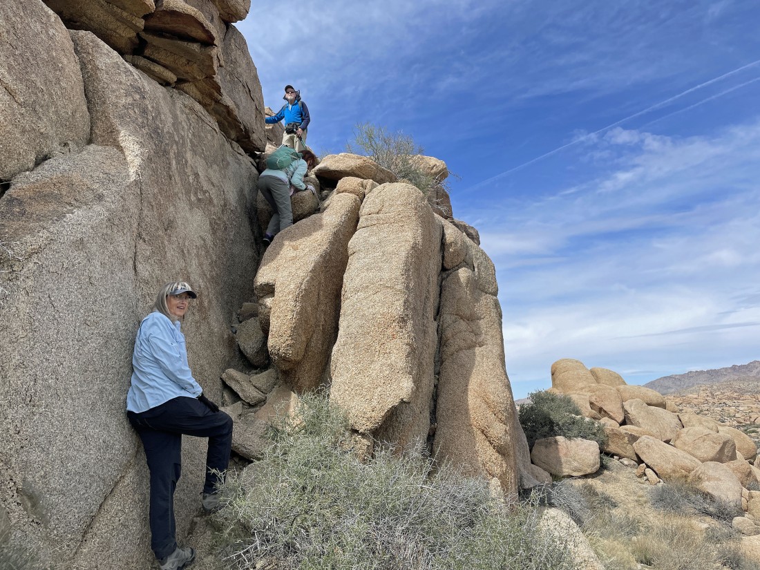
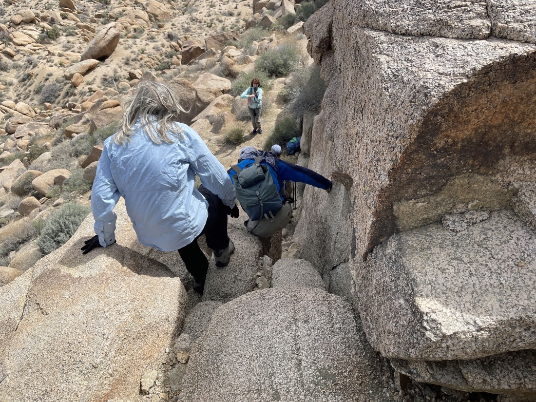
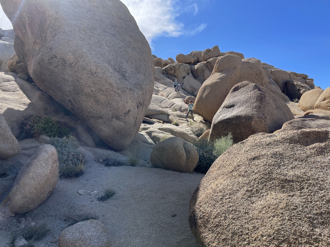
Looking back at the gang as we do a little scrambling as we work our way over to Point 4558.
|
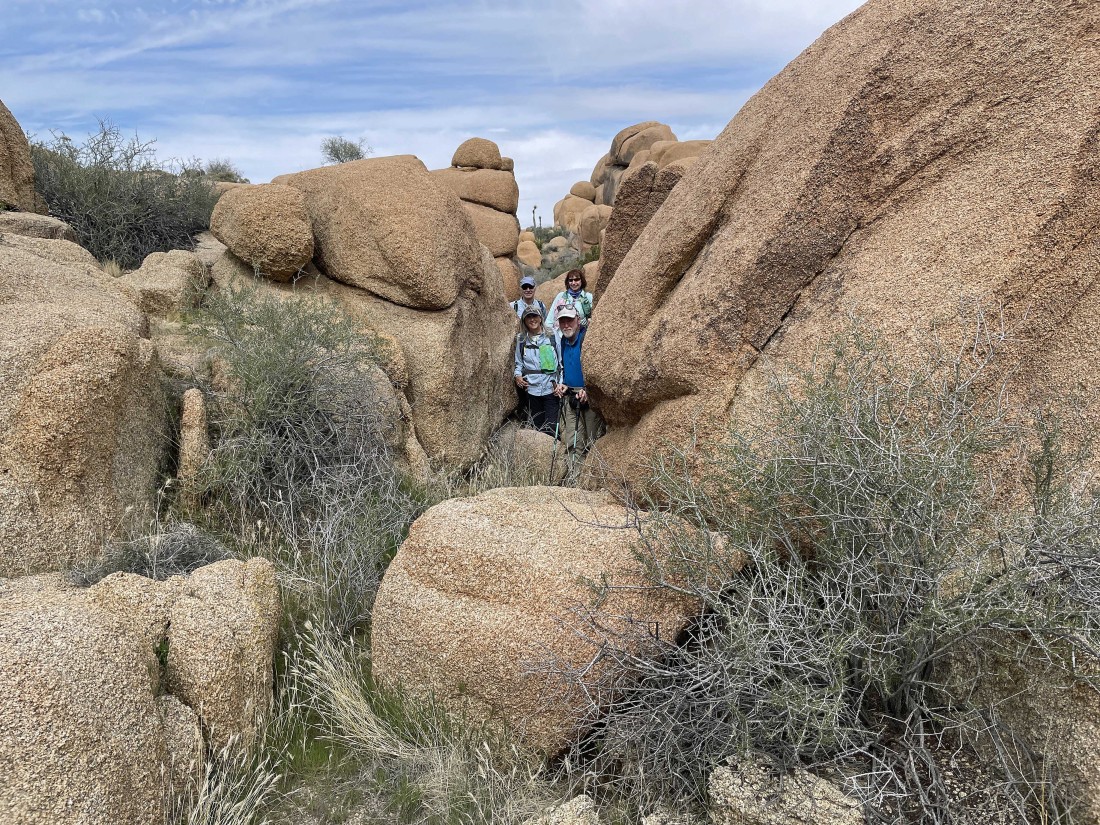
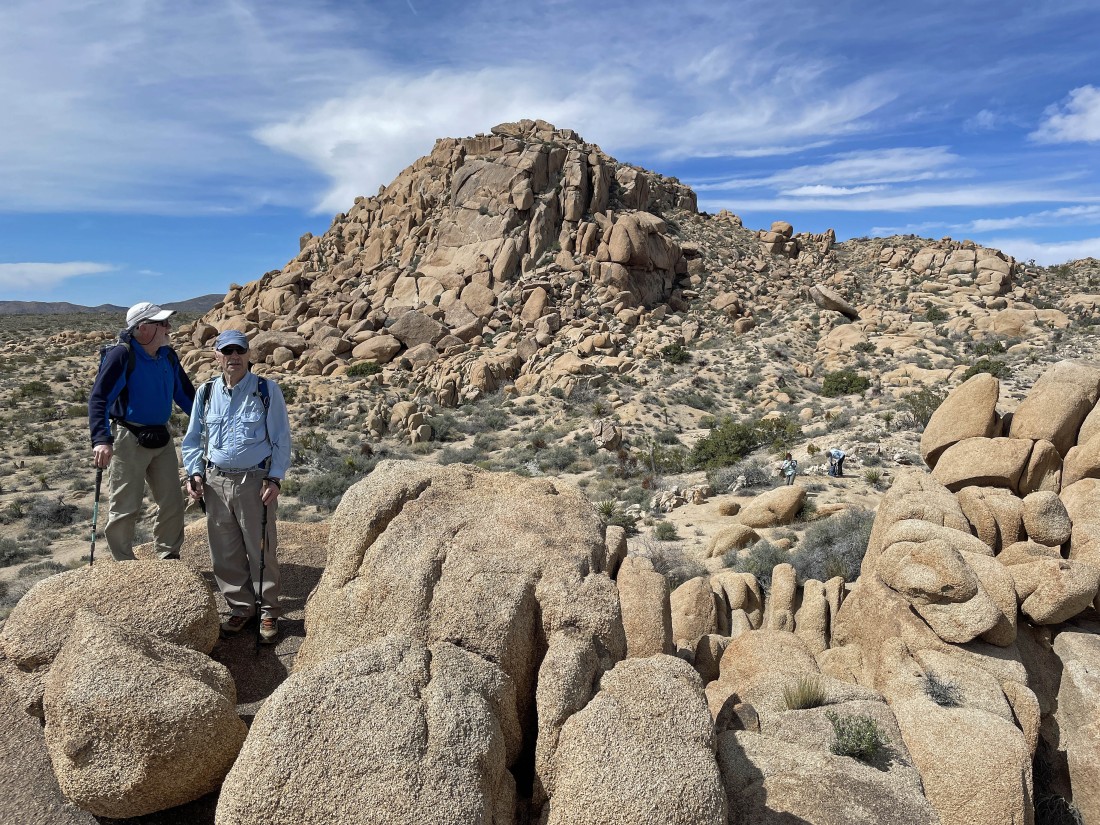
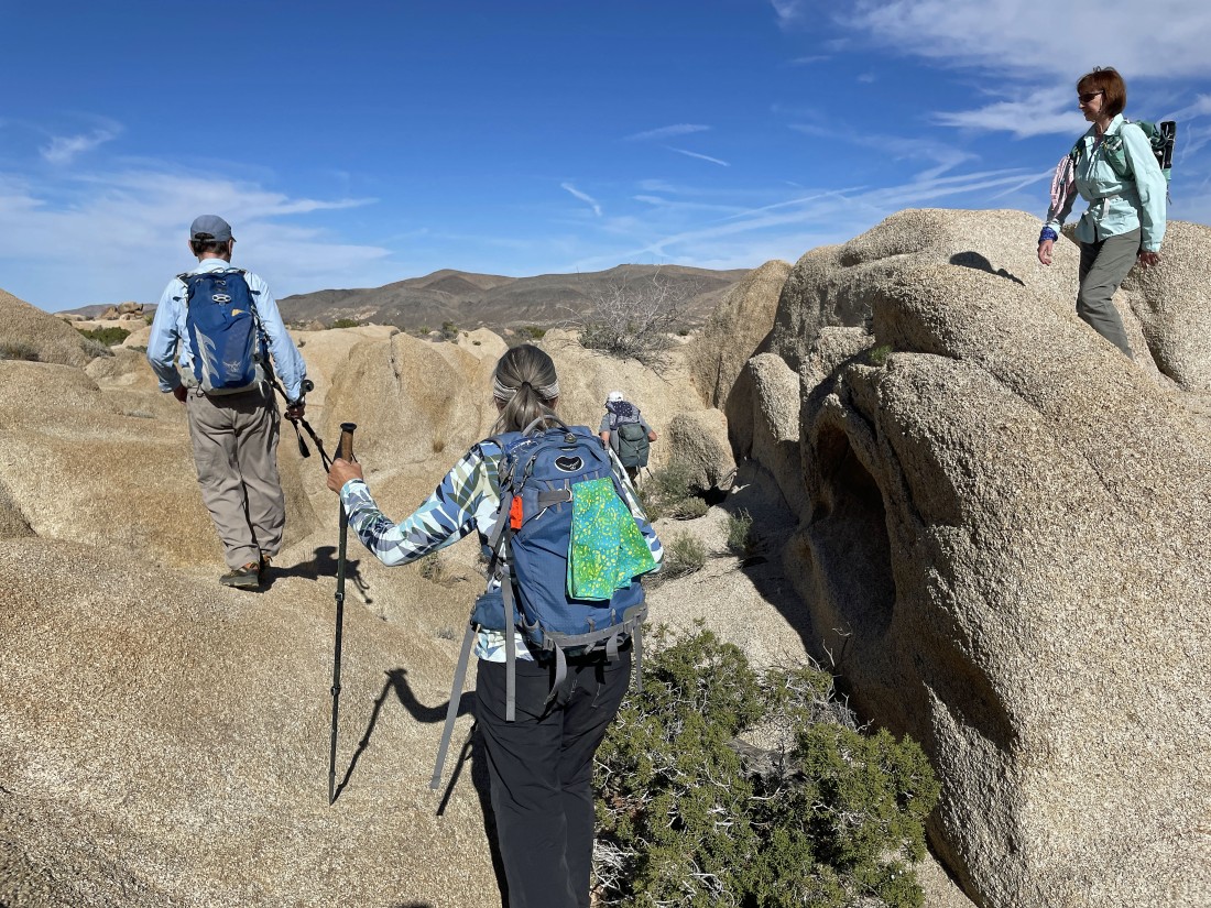
Looking back at the gang as we do a little scrambling as we work our way over to Point 4558... tomman and BarbE behind Denali Girl and rocman.
|

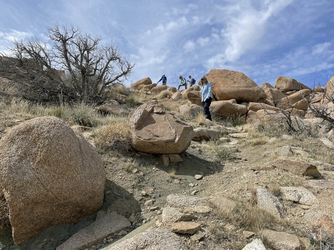
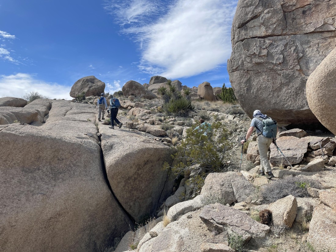
Looking back at the gang as we do a little scrambling on our way over to Point 4558.
|
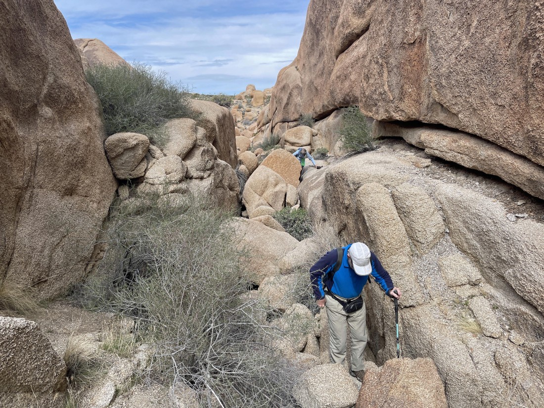
Looking back at the gang as we do a little scrambling on our way over to Point 4558.
|
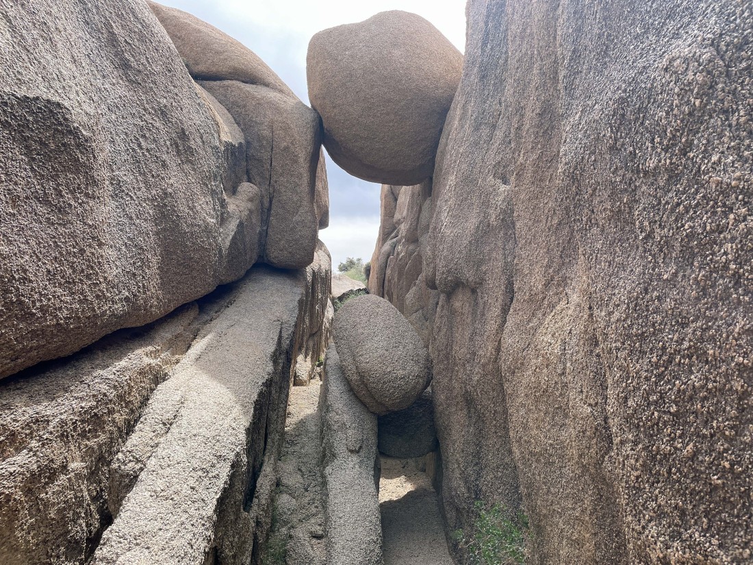
Going to have to make ourselves small as we work through this narrow passage.
|
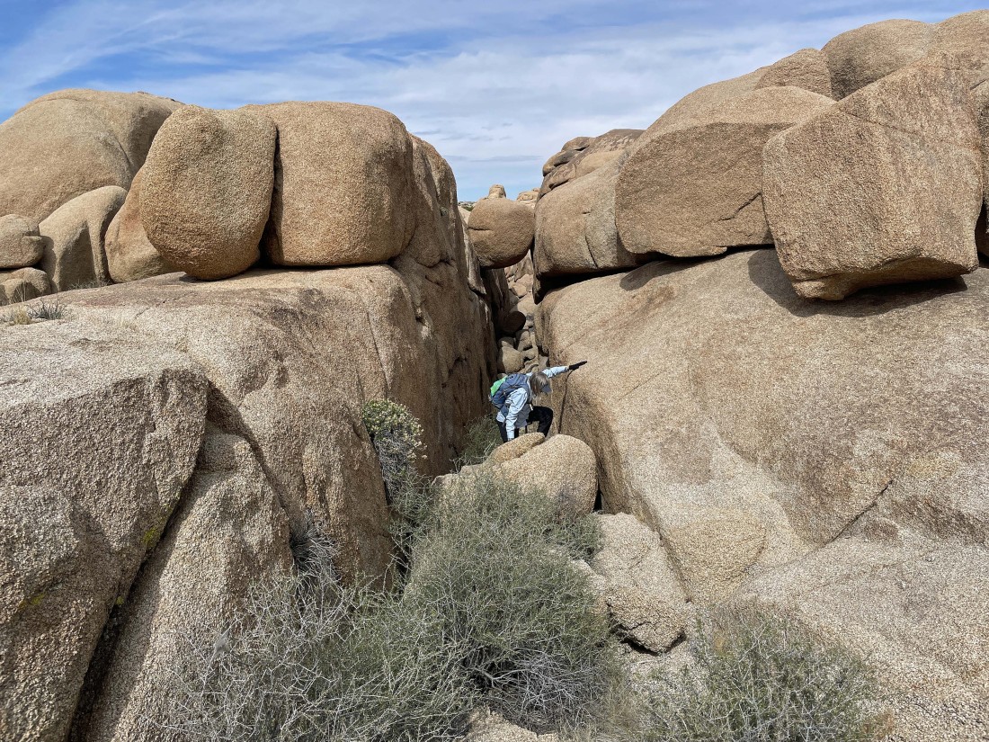
Coming out of that narrow passage in the previous photo.
|
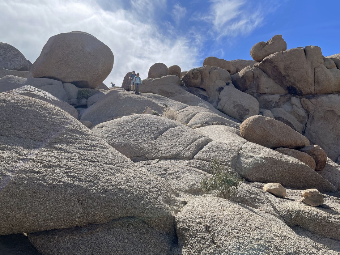
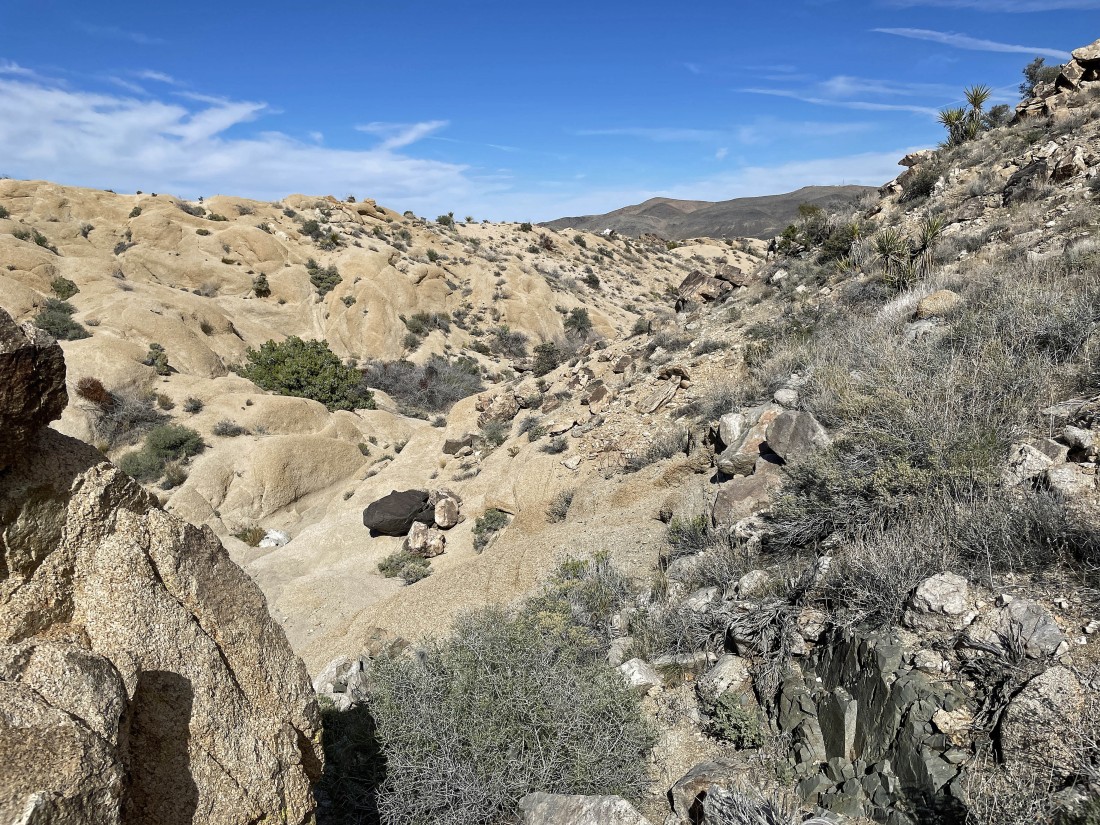
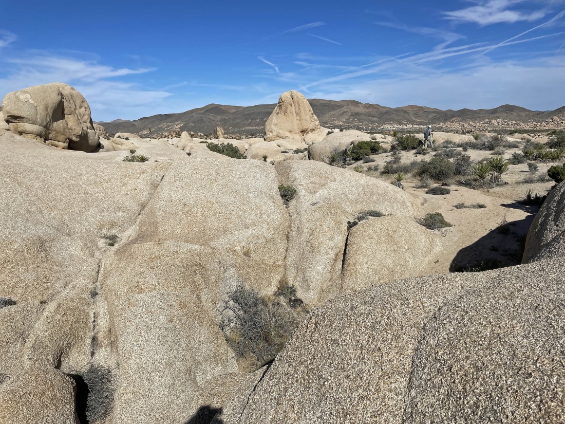
Looking back as we continue toward Point 4558.
|
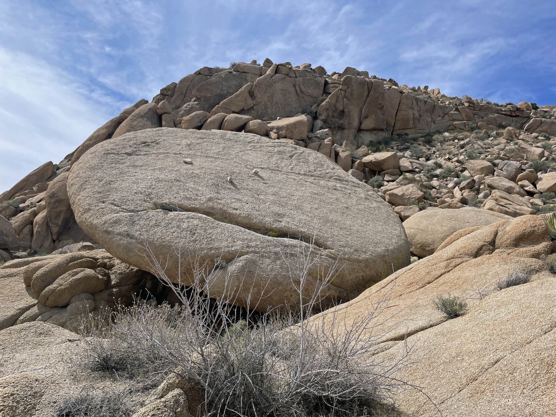
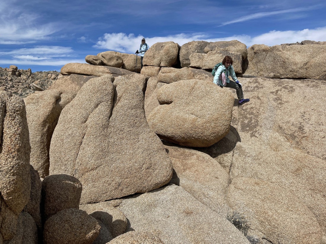
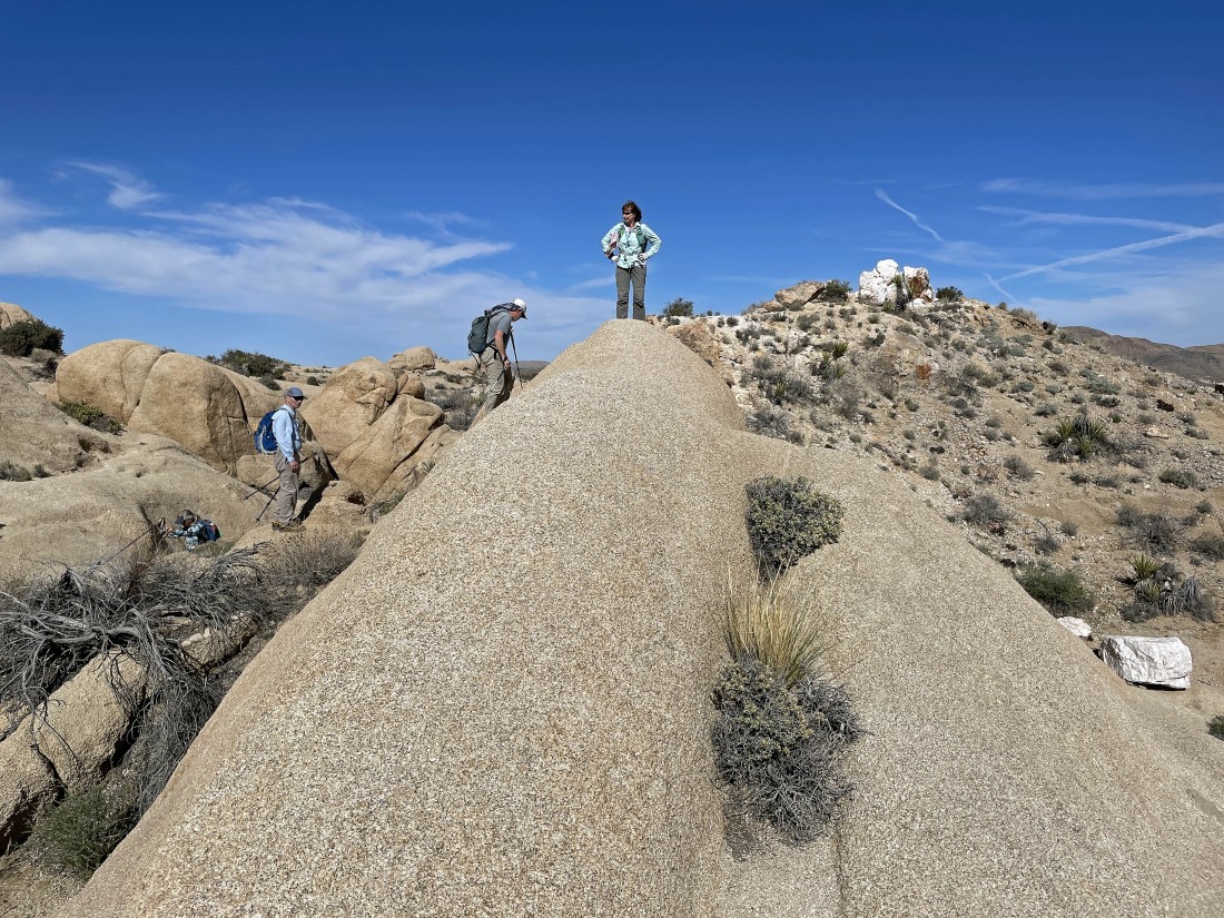
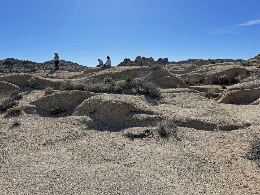
After hiking a total of one mile we have reached the huge labyrinth at the foot of Point 4558.... BarbE is standing in the middle of the labyrinth.
|
BarbE looks down on the labyrinth.
|
Leaving the labyrinth and heading over toward the Crown Prince Lookout.
|
Almost at the Crown Prince Lookout... BarbE is almost at the base of the little scramble that will get us up to the summit area.
|
The 30 foot scramble that will get us up to the Crown Prince Lookout.
|
Easy hiking after dealing with the 30 foot scramble in the previous photo.
|
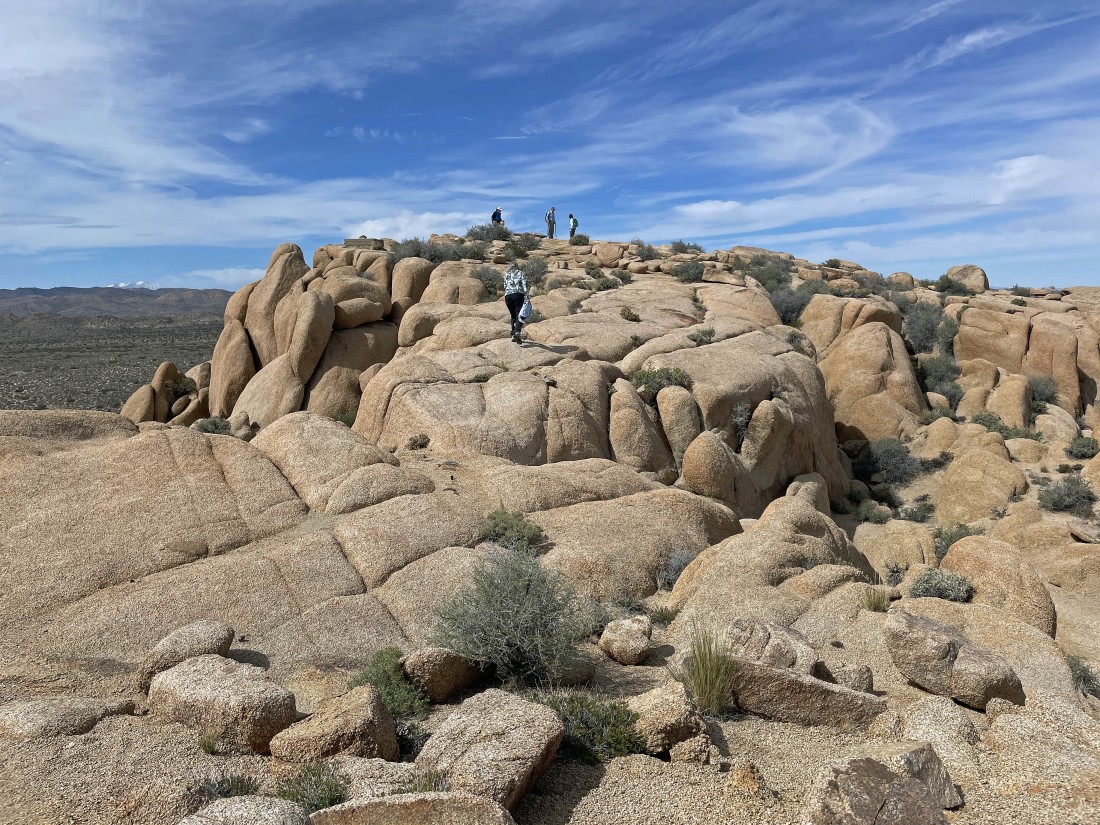
Denali Girl heading for the Crown Prince summit (4581 feet) to join rocman, tomman and BarbE.
|
From the Crown Prince summit... looking west across Queen Valley at Ryan Mountain in the left-center of the photo... north to Queen Mountain in the center of the photo... and NE (far-right) beyond Point 4558 to the Pinto Mountains on the horizon.
|
|
From the Crown Prince summit... with the Pinto Mountains on the left horizon... Pinto Basin in the middle of the photo... with the Hexie Mountains in the middle of the photo... and the Little San Bernardino Mountains on the right.
|
Leaving the Crown Prince summit area.
|
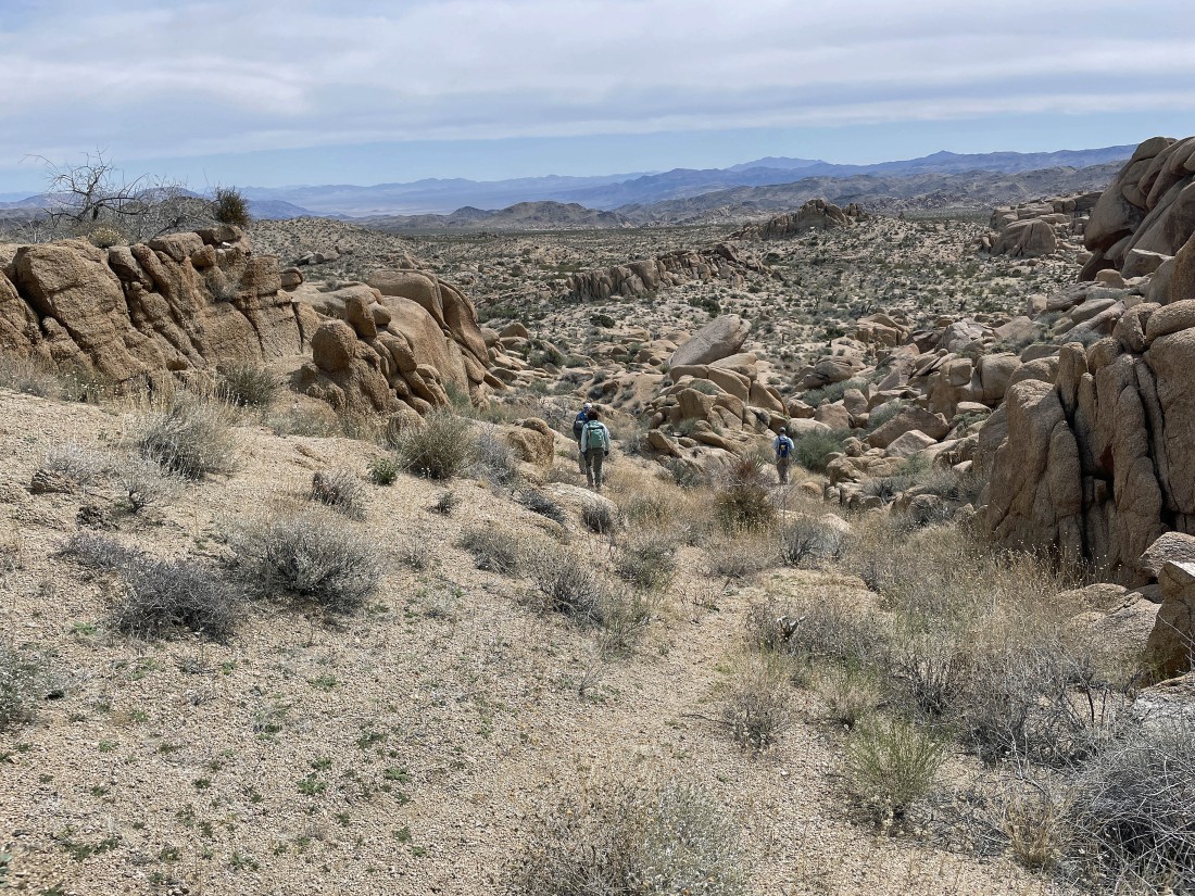
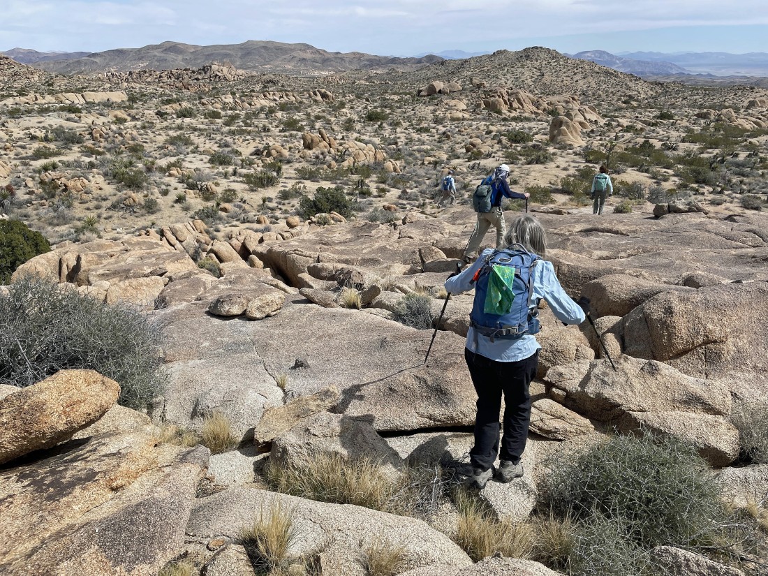
Leaving the Crown Prince area... heading SE toward Pinto Basin.
|
Looking back at Crown Prince... with a cute little smiley face in the foreground.
|
Looking back at Crown Prince.
|
Doing a little more scrambling as we continue hiking east... with Crown Prince behind us.
|
Doing a little more scrambling as we continue hiking east.
|
Doing a little more scrambling as we continue hiking east... with the Pinto Mountains on the horizon... with a piece of the Pinto Basin on the extreme far right.
|
Continuing to hike east... eventually completing our thru-hike at the Twin Tanks Trailhead.
|
Continuing to hike east.
|
|
Continuing to hike east.
|

Continuing to hike east.... but it looks like there is a ramp over there that runs from the middle of the photo up to the far left.
|

Heading up that ramp we saw in the previous photo.
|
Continuing up that ramp that we saw two photos ago.
|
After hiking a total of 3 miles we have reached the top of the ramp and are looking back at Crown Prince in the left center of the photo... with Queen Mountain on the right horizon.
|
|
Denali Girl relaxes at the top of the ramp... with Queen Mountain on the far left horizon... and the 'Keyno' benchmark in the right foreground.
|
Heading down from the top of the ramp... heading for the Twin Tanks.
|
Heading down from the top of the ramp.
|
Heading down to join the desert floor.
|

Almost back to the desert floor.
|

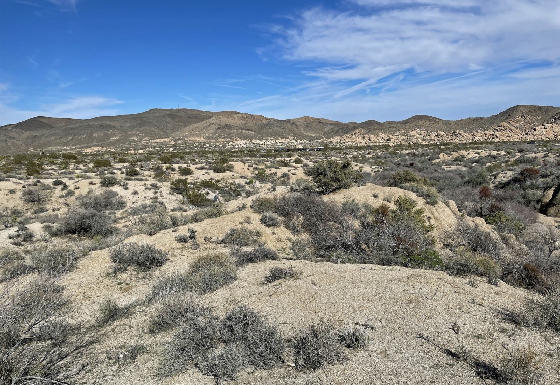
Continuing to hike east in search of the Twin Tanks.
|
Continuing to hike east in search of the Twin Tanks.
|

Continuing to hike east in search of the Twin Tanks.
|
Continuing to hike east in search of the Twin Tanks.
|
Continuing to hike east in search of the Twin Tanks... and that huge chunk of quartz looks so out of place.
|
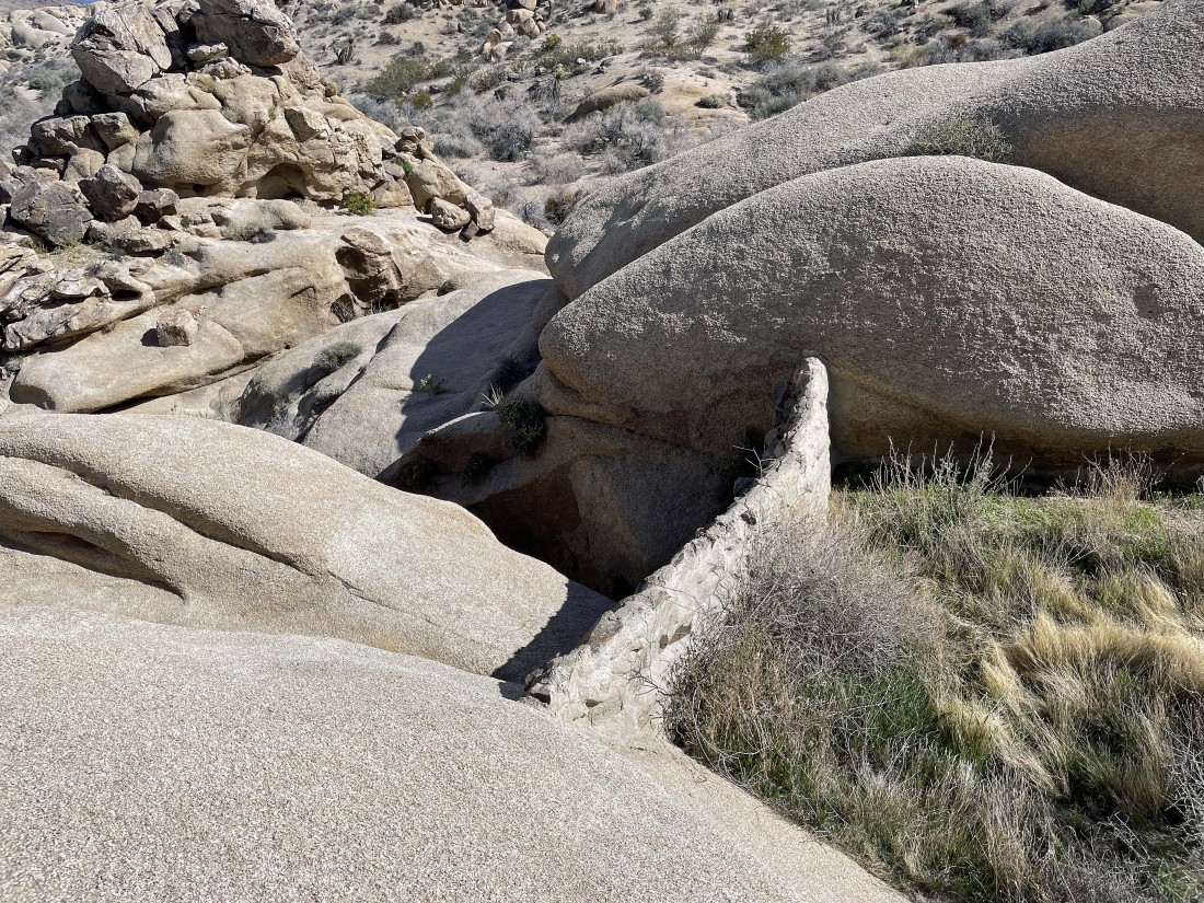
After hiking a total of 3.8 miles we have found one of the dams in the Twin Tanks area.
|
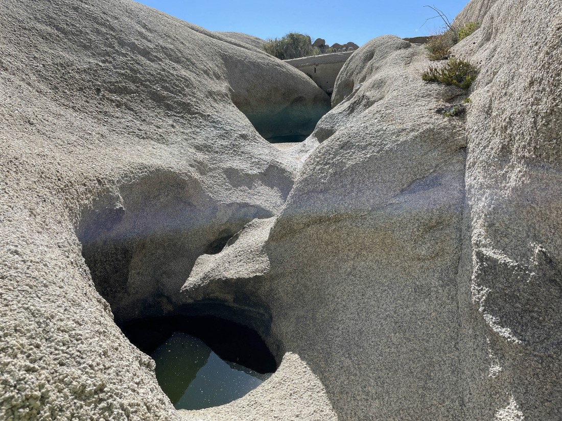
Awesome terrain in the Twin Tanks area.
|

The second twin tank.
|
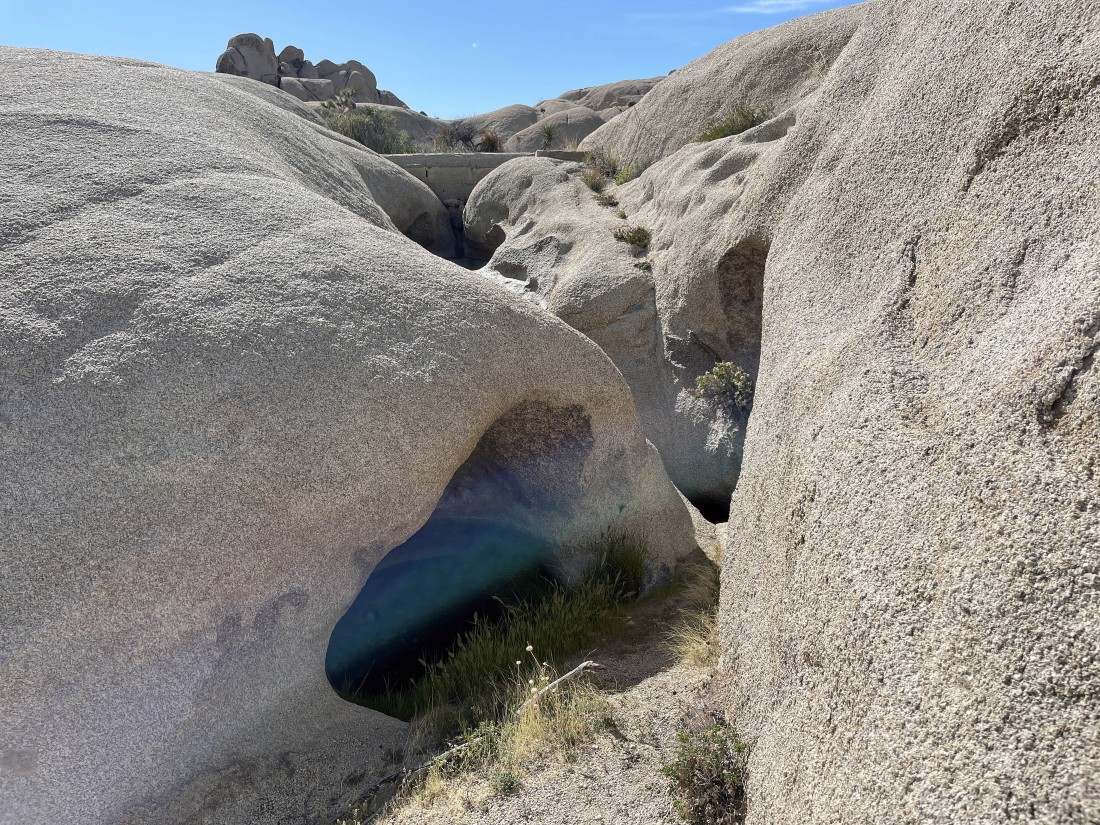
Another photo of the second twin tank.
|
Another photo of the second twin tank.
|
Taking a break in the Twin Tanks area.
|
Leaving the Twin Tanks area... and heading east for the Twin Tanks Trailhead.
|
Leaving the Twin Tanks area... and heading east for the Twin Tanks Trailhead.
|
Heading east for the Twin Tanks Trailhead.
|
We can see the cars at the Twin Tanks Trailhead about a quarter mile in the distance. The parking lot is shared with the more popular Arch Rock Trailhead... our thru-hike was a total of 4.9 miles, gaining 388 feet of elevation.
|
