Point 4514 - 3.29.2024

From the west entrance to Joshua Tree National Park we drove Park Blvd for 2.4 miles and parked on a paved pull-out on the right side of the road... and our high point destination will be the two bumps above Denali Girl's head on the horizon.
|
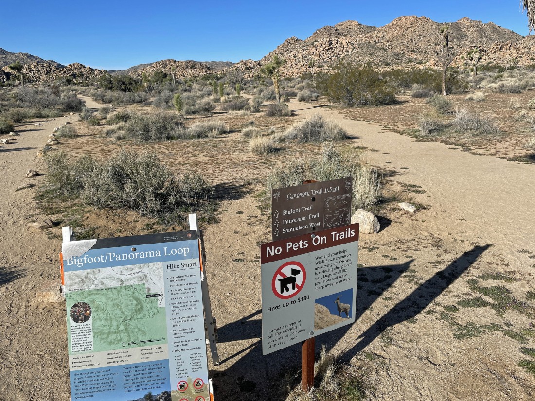
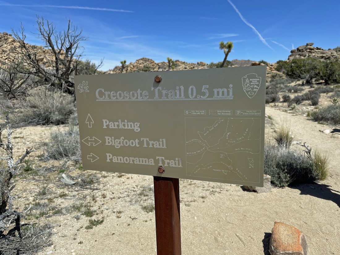
We will use the half-mile Creosote Trail to begin the hike... and we will also use the trail at the end of our hike.
|
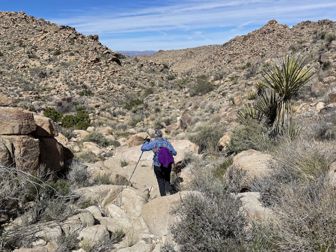
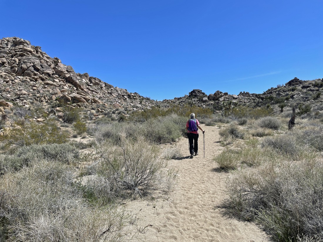
Hiking on the Creosote Trail and heading for Point 4514 in the distance.
|
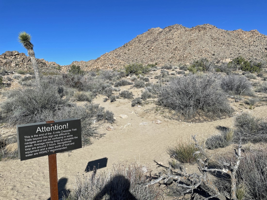
After hiking a total of .6 miles we are at the end of the Creosote Trail... and we will go to the left on the Panorama Trail.
|
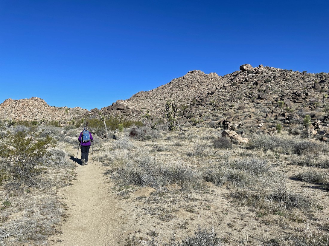
Hiking on the Panorama Trail... with Point 4514 out there in the middle of the photo.
|
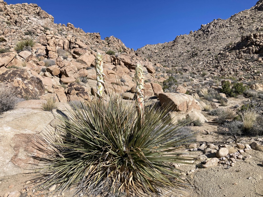
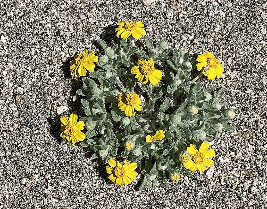
After hiking a total of 1.1 miles (a half-mile on the Panorama Trail) we have started hiking cross country... heading up to the pass that is on the SW side of Point 4514... Denali Girl took this photo of the budding yucca plant.
|

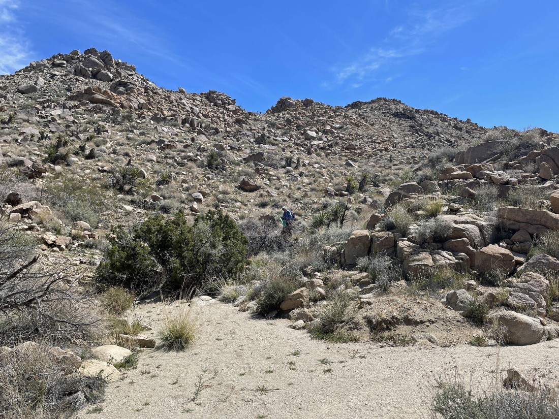
Continuing to hike cross-country... heading for the pass on the SW side of Point 4514.
|
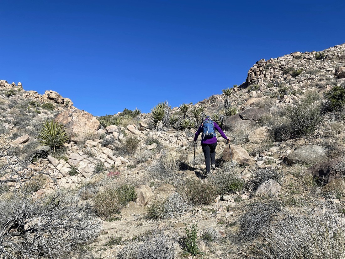
Almost at the pass on the SW side of Point 4514.
|
After hiking a total of 1.3 miles we have reached the pass on the SW side of Point 4514 up there on the far right... Yucca Valley is on the horizon.
|

Time to head up to Point 4514 on the left.
|

Denali Girl took this photo of 'Desert Rock-Pea'... and finally flowers are starting to bloom in the park.
|

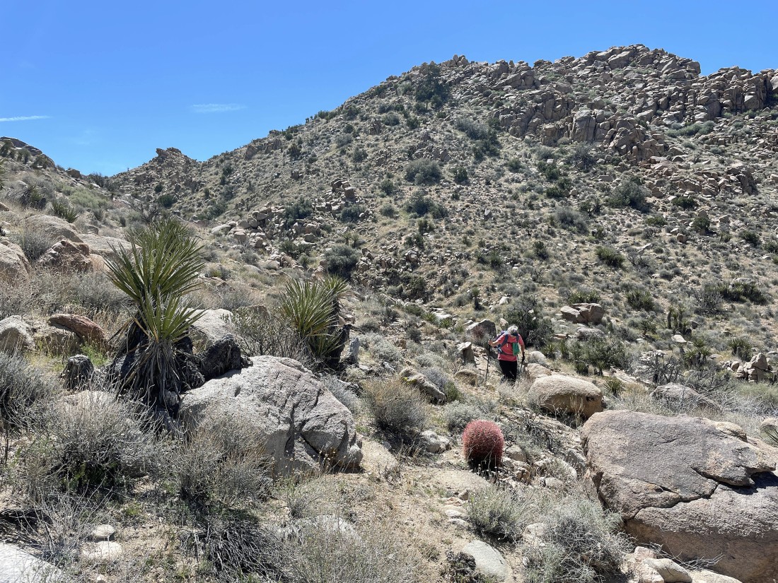
Heading up to Point 4514.
|

Denali Girl took this photo of 'Chia'.
|
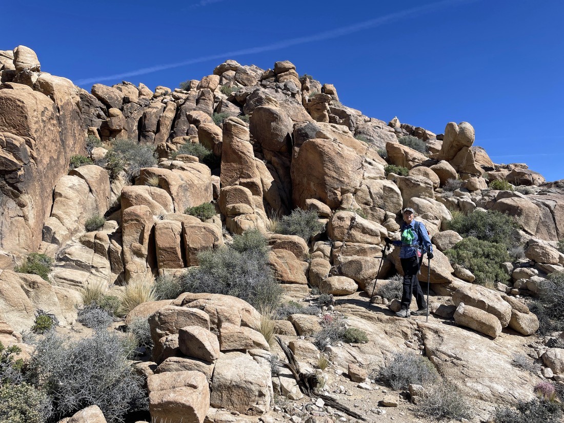
Nearing the summit of Point 4514.
|
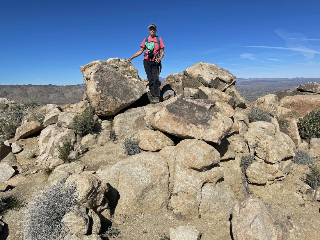
After hiking a total of 1.5 miles Denali Girl is standing on top of Point 4514.
|
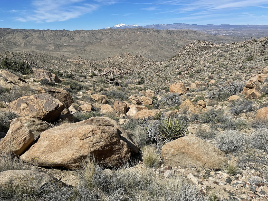
Denali Girl took this photo of me on top of Point 4514... with a snow-covered 11,503 foot San Gorgonio Mountain on the horizon.
|
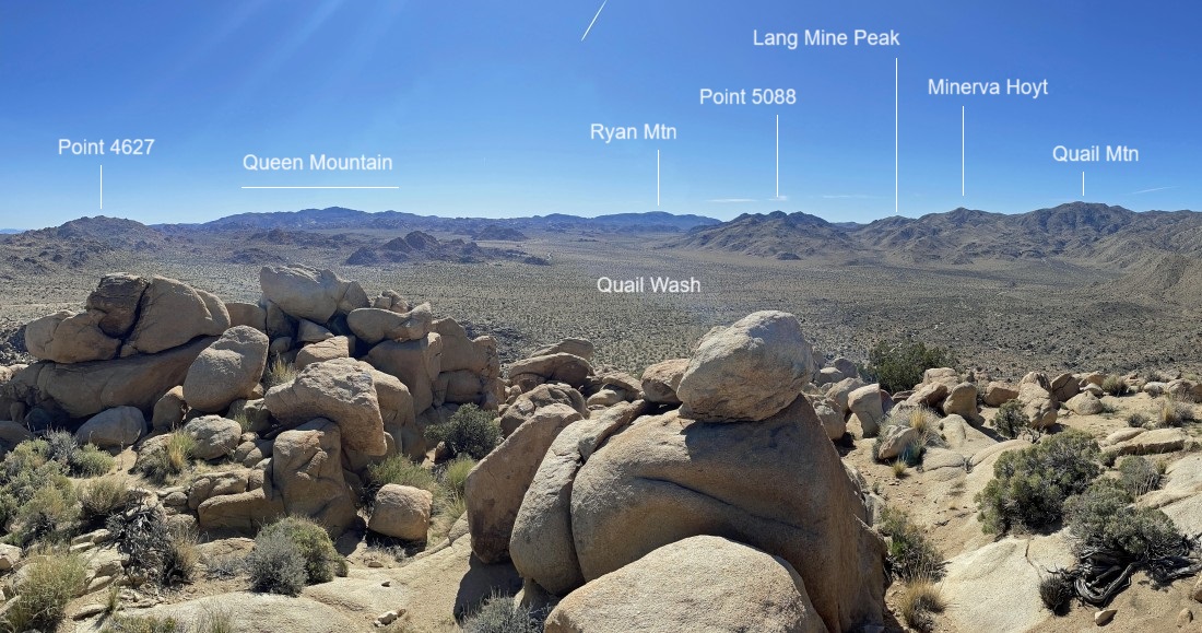
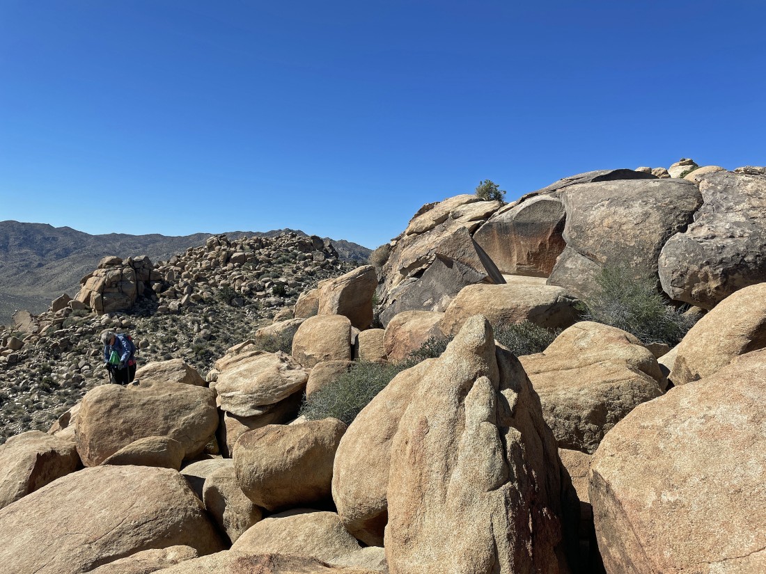
From the top of Point 4514... looking east to Point 4627 and Queen Mountain... SE to Ryan Mountain... and south to Quail Mountain.
|
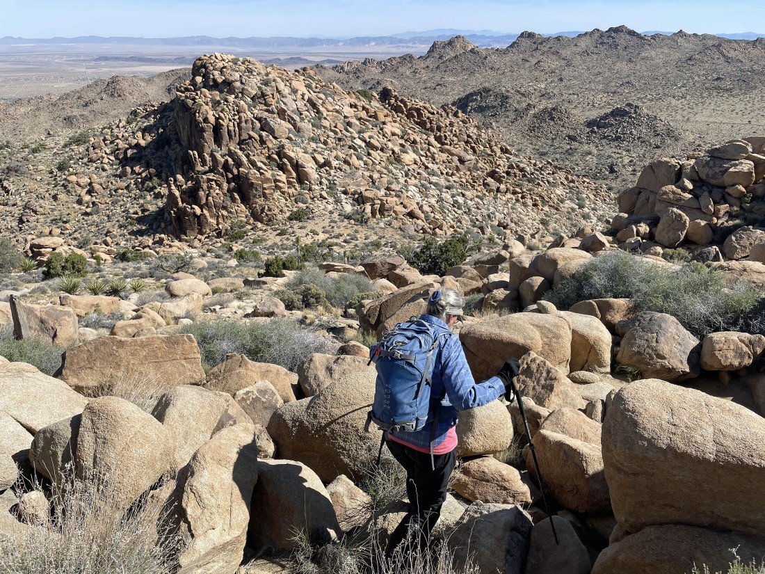
Time to leave Point 4514 and head over to that pile of boulders on an unnamed bump that is 25 feet lower than Point 4514.
|
Getting ready to head up to the unnamed pile of boulders.
|
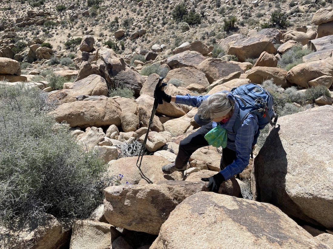
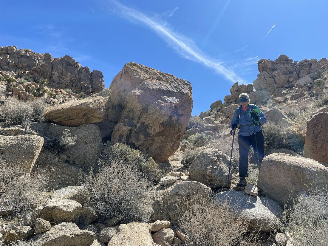
The scramble up to the top of the unnamed pile of boulders is more difficult than going up to Point 4514.
|
Working our way up to the pile of unnamed boulders... here looking back over at Point 4514.
|
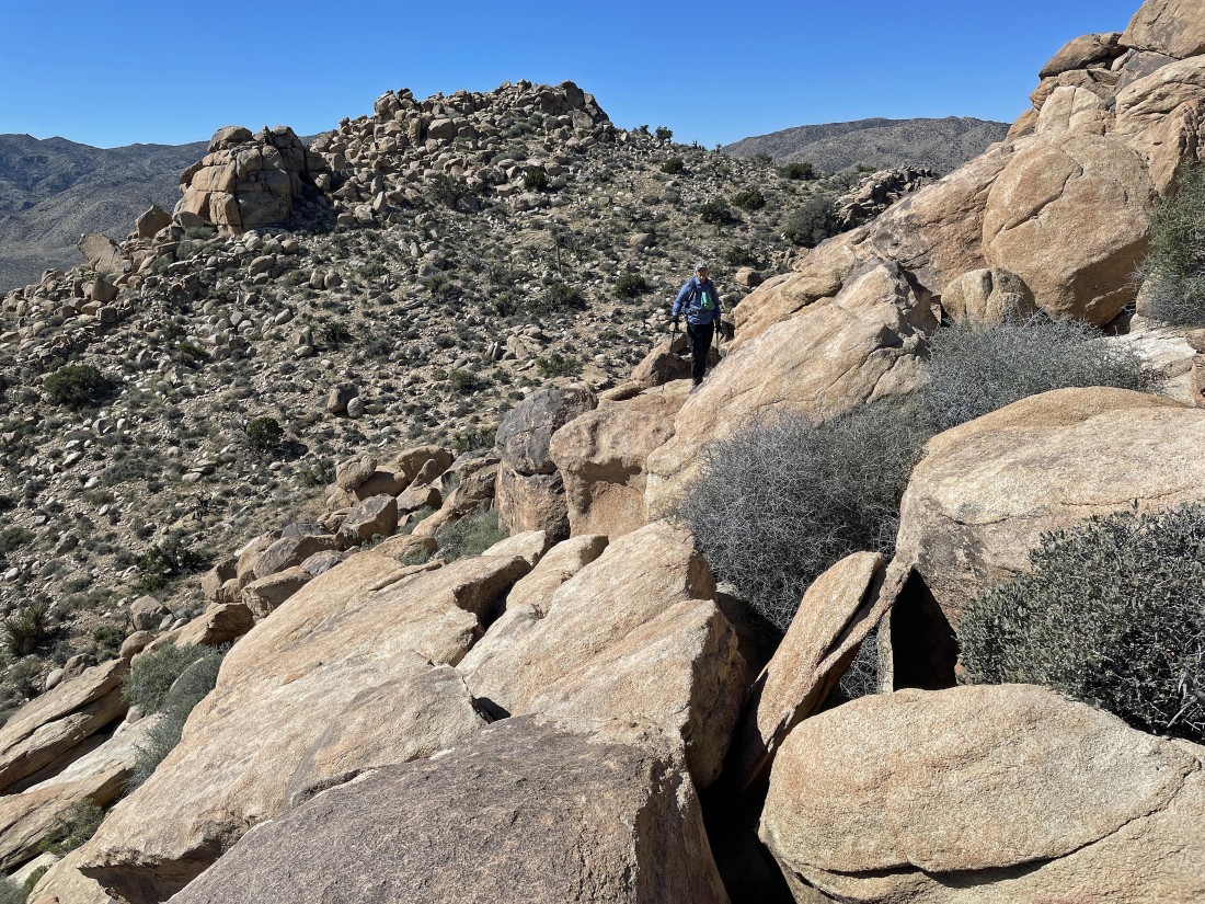
Almost on the summit of what I'm calling Point 4490.
|

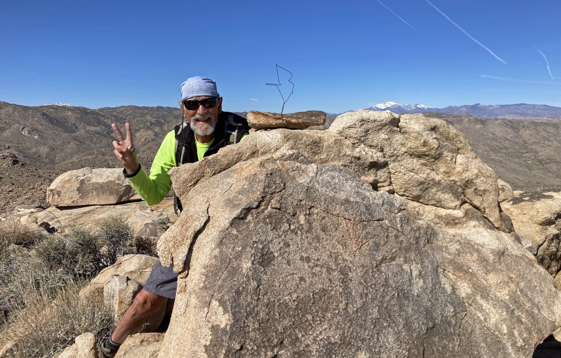
After hiking a total of 1.6 miles Denali Girl is relaxing on top of Point 4490... with Point 4514 in the foreground behind her... and Quail Mountain (the high point in the park at 5816 feet) on the horizon behind her.
|
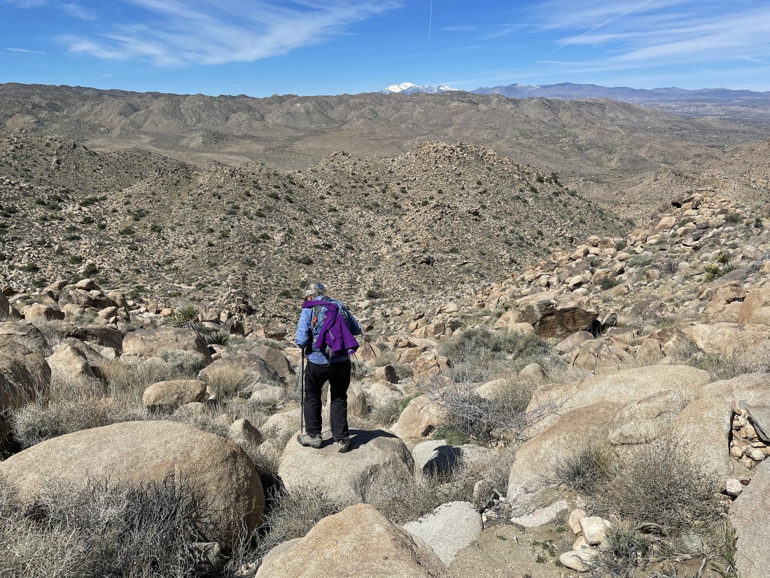
We have come down from Point 4490 and are continuing to hike cross-country... now to the west... with San Gorgonio Mountain on the horizon.
|
Coming down from between Point 4514 and Point 4490.
|
Continuing to lose elevation as we are searching for the Bigfoot Trail... we will reach the gully below and turn to the right (NW).
|

Denali Girl took this photo of what we think was a bighorn sheep.
|

Denali Girl took this photo of 'Desertbells'.
|
We have reached the gully below Point 4490 and Point 4514... now hiking NW and searching for the Bigfoot Trail.
|
Denali Girl took this photo of 'Wolly Daisy'.
|
Looing back up at Point 4490 and Point 4514 as we continue to hike NW in what feels like a wash.
|
Now hiking NE in search of the Bigfoot Trail.
|

Needing to gain a little elevation as we hike NE in search of the Bigfoot Trail.
|

Hiking NE in search of the Bigfoot Trail... with Yucca Valley on the horizon.
|
We will head toward the big bump in the right-center of the photo and then turn to the right.
|
After hiking a total of 2.8 miles we have found the Bigfoot Trail... and started hiking SE to close the loop portion of our hike.
|

Now hiking south on the Bigfoot Trail... with Lang Mine Peak, Mount Minerva Hoyt and Quail Mountain on the horizon.
|
After hiking a total of 3.9 miles we have returned to the trail junction of the Creosote, Panorama and Bigfoot trails... closing the loop portion of our hike... and time to take the Creosote Trail back to the car.
|
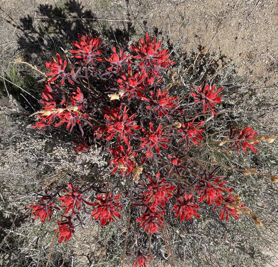
Denali Girl took this photo of 'Indian Paintbrush'.
|
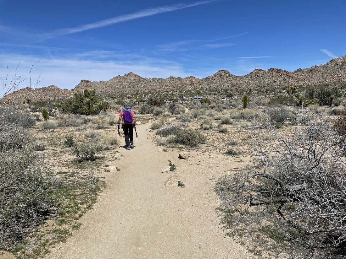
We can see our car... with the foothills of 'The Maze' on the other side of Park Blvd on the horizon... the total hike was 4.5 miles, gaining 966 feet of elevation.
|
