White Elephant on Queen Mountain - 4.6.2024
|
We parked at the unsigned trailhead for Queen Mountain. You can get here by taking O'Dell Road... a dirt road that can be accessed via the Queen Valley Road or Park Blvd. The green line shows how to reach the summit of Queen Mountain... but we will be taking a gully via the red line up to the White Elephant.
|
Heading for the gully that leads up to the 'V' on the far left.
|

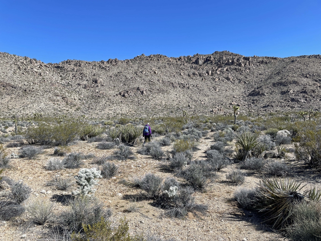
After hiking .9 miles from where we parked we are getting ready to head up the gully that will take us up to the upper west shoulder of Queen Mountain.
|
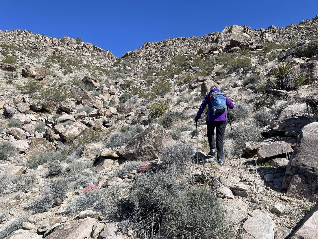
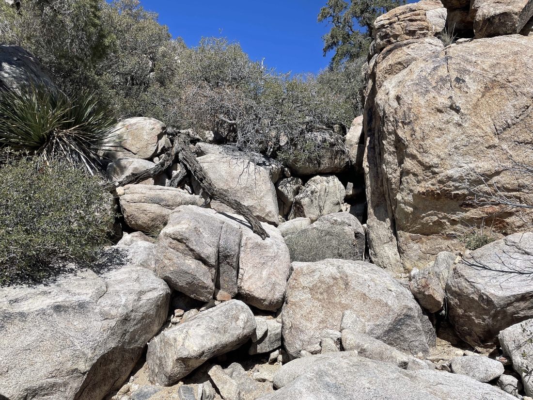
Heading up the gully that will take us up to the upper west shoulder of Queen Mountain.
|

Heading up the gully that will take us up to the upper west shoulder of Queen Mountain.
|
Heading up the gully that will take us up to the upper west shoulder of Queen Mountain.
|
Heading up the gully that will take us up to the upper west shoulder of Queen Mountain... looking across part of Queen Valley to Ryan Mountain on the left horizon.
|

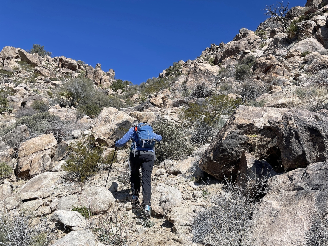
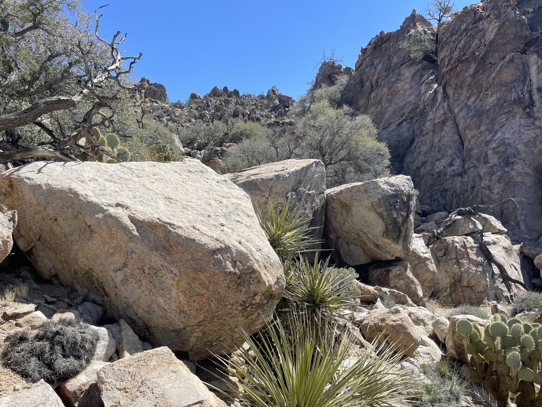
Continuing to gain elevation in the gully that will get us up to the upper west shoulder of Queen Mountain.
|
Heading up the gully that will take us up to the upper west shoulder of Queen Mountain... very brushy in places.
|

Almost out of the gully.
|
|
After hiking a total of 1.25 miles Denali Girl is relaxing after getting out of the gully... we are getting ready to gain another 60 feet of elevation via another gully in the vegetation on the far right.
|
Gaining that 60 feet of elevation in our second gully.
|
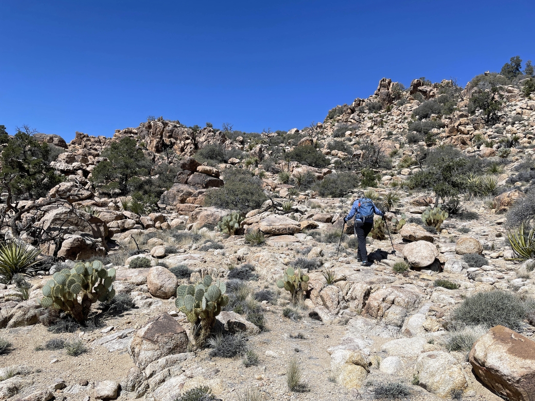
Out of that second gully and continuing to gain some elevation on the upper west shoulder of Queen Mountain.
|
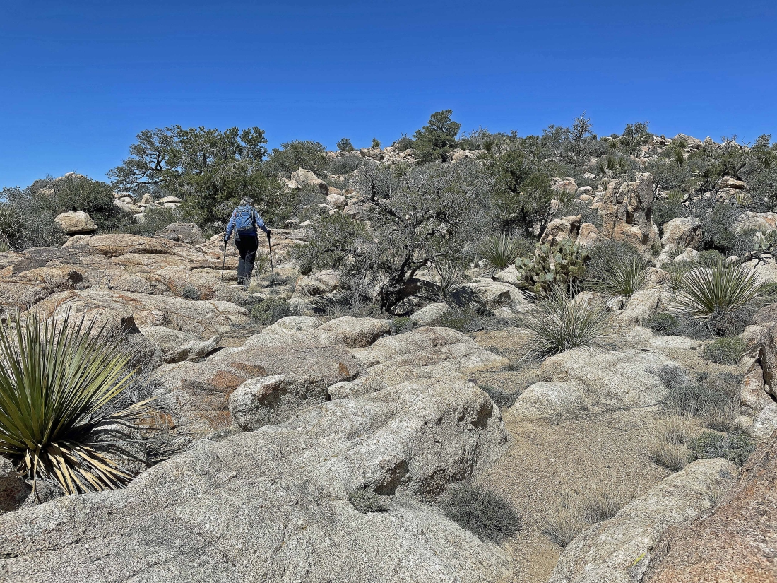
Continuing to gain elevation on the upper west shoulder of Queen Mountain.
|
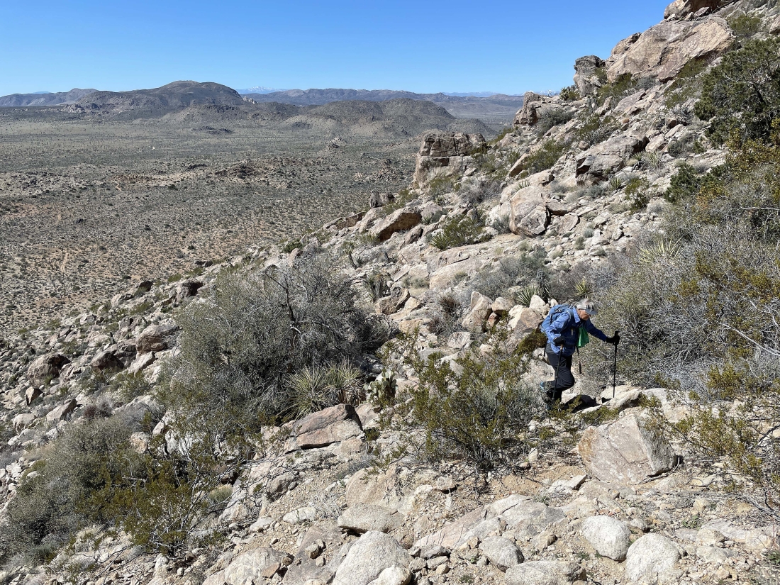
Continuing to gain elevation on the upper west shoulder of Queen Mountain.... and high enough to see San Gorgonio Mountain on the far left horizon... we will continue toward the little bump in the left-center of the photo.
|
Almost to the top of the little bump that was in the previous photo.
|
We have reached the top of the bump that is in the previous two photos... and almost feels like we are on a plateau... here looking out to the true summit area of Queen Mountain.
|
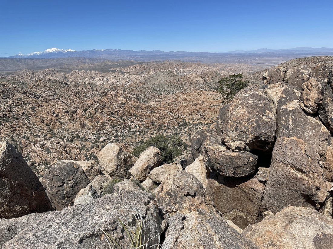
Scrambling some in the boulders on the upper west shoulder of Queen Mountain... here looking west across the lower west shoulder of Queen Mountain and the Wonderland of Rocks to the snow covered San Gorgonio Mountain.
|
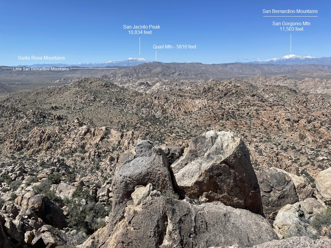
Looking west and SW across the lower west shoulder of Queen Mountain and the Wonderland of Rocks to the snow-covered San Jacinto Peak and Quail Mountain (the high point in Joshua Tree National Park)... with the snow covered San Gorgonio Mountain on the far right.
|
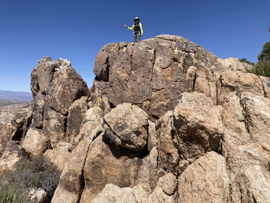
Denali Girl took this photo of me on the White Elephant... at 5384 feet it was our high point for the day... 300 feet lower than the true summit of Queen Mountain.
|
|
I took this photo from the White Elephant... time to do some more exploring.
|
Look hard and you can see Denali Girl near the White Elephant summit on the left... while I continue hiking north along the edge of the upper west shoulder of Queen Mountain.
|
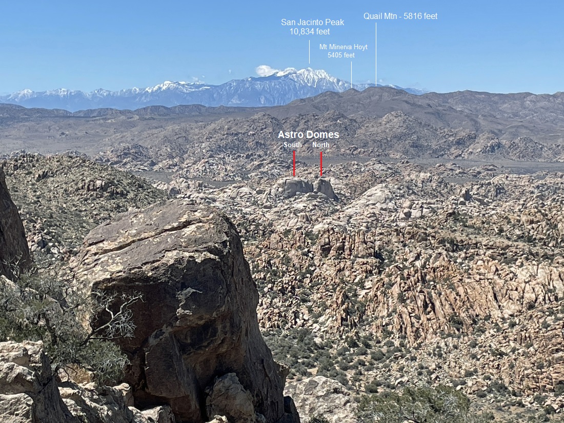
A zoom shot from the edge of the upper west shoulder of Queen Mountain... looking beyond the lower west shoulder of Queen Mountain to the astro domes in the Wonderland of Rocks... and further out to Mount Minerva Hoyt and Quail Mountain... with a snow covered San Jacinto Peak on the horizon... Minerva Hoyt is most likely the reason Joshua Tree is a national park... google her to get the whole story.
|

Looking down on the approximate route to 'Tanzbodeli' on the lower west shoulder of Queen Mountain.
|

A closer look down on 'Tanzbodeli'.... the official Tanzbodeli is near Murren, Switzerland... and the word means 'little dance floor'.
|

Time to trace our steps back to the car... here heading back to join Denali Girl near the White Elephant.
|

Tracing our steps back to the car... the true summit of Queen Mountain is on the horizon directly above Denali Girl's head.
|
Tracing our steps back to the car... with a good portion of Queen Valley out there in the distance.
|

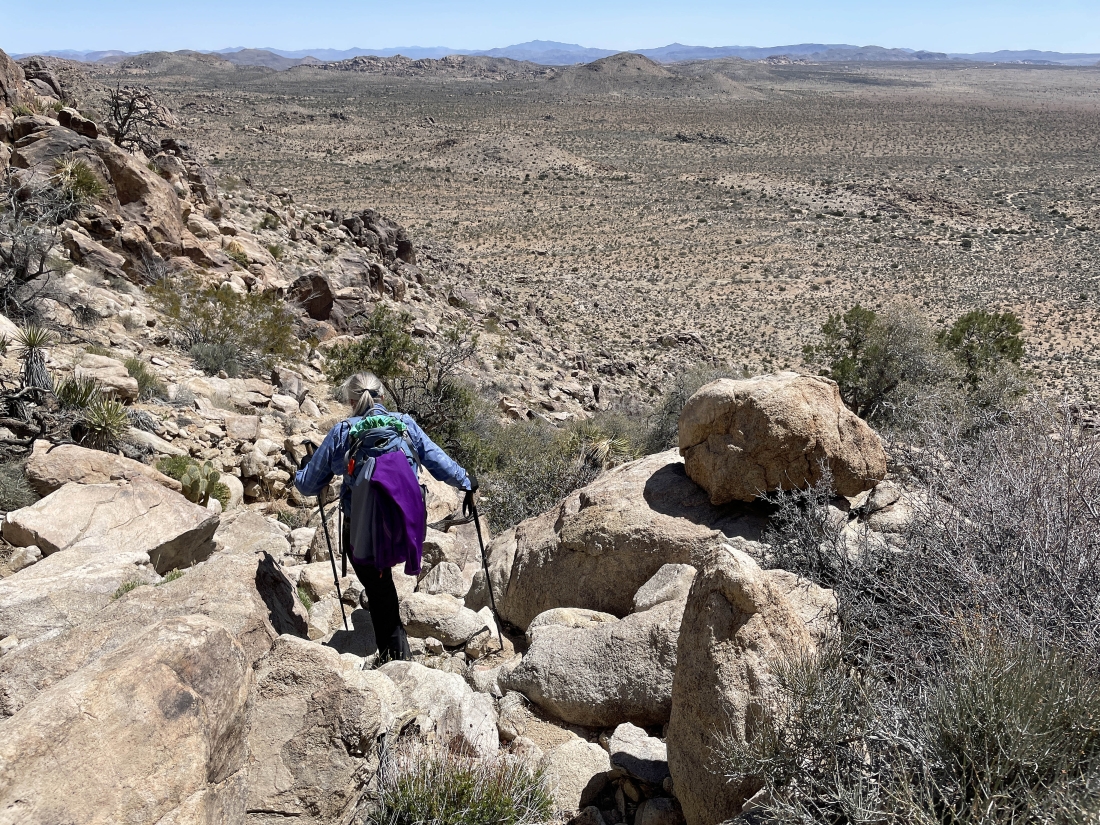
Getting ready to go back down the gully we used to get up here.
|
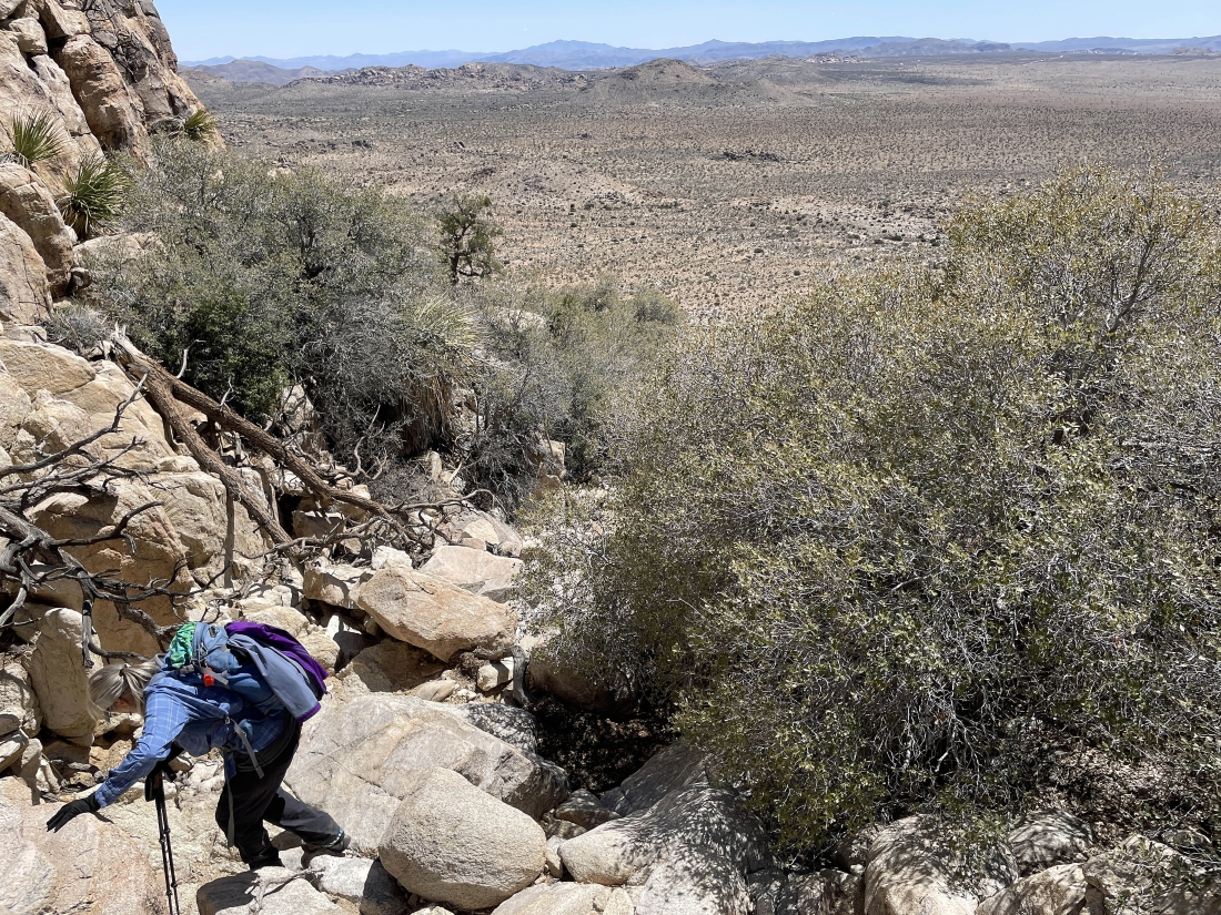
Heading down the gully on our way down to Queen Valley.
|
Heading down the gully on our way down to Queen Valley.
|

Heading down the gully on our way down to Queen Valley.
|

Almost down from the gully we went up earlier in the day.
|

After hiking a total of 3 miles we have returned to Queen Valley.
|
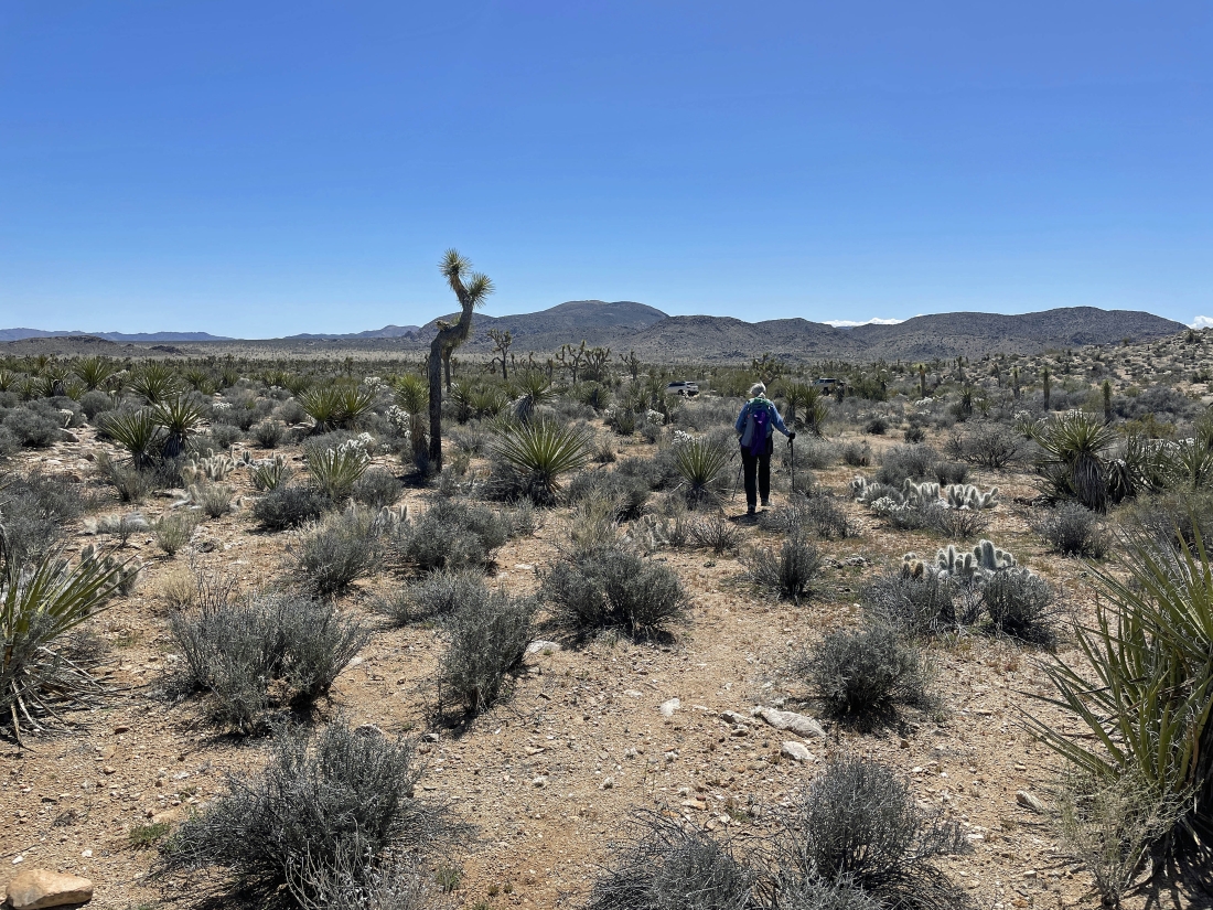
Our car is a stone's throw away... the total hike was 3.8 miles, gaining 978 feet of elevation.
|
