Paulina Peak - 6.4.2024
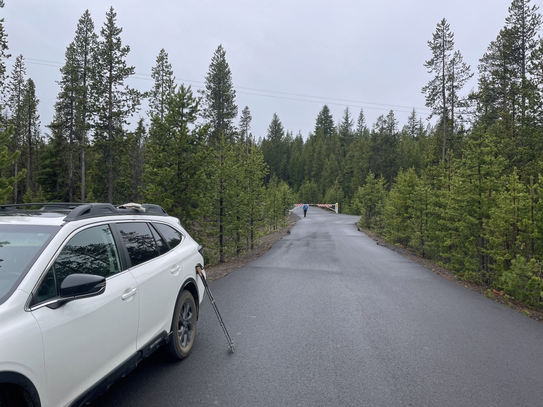
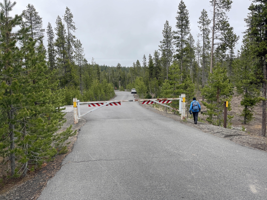
From Hwy 97 near La Pine, Oregon, we drove Paulina Lake Road (aka County Hwy 21) for 15.2 miles... then truned right on National Forest Development Road 500... and after driving Road 500 for a very short distance we parked near where the road was gated... then began hiking up the road.
|
Road 500 turned to gravel shortly after leaving the gate... and when the gate is open you can drive the road up to the Paulina Peak summit.
|
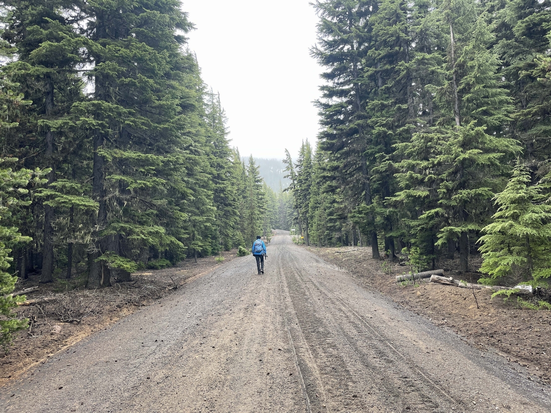
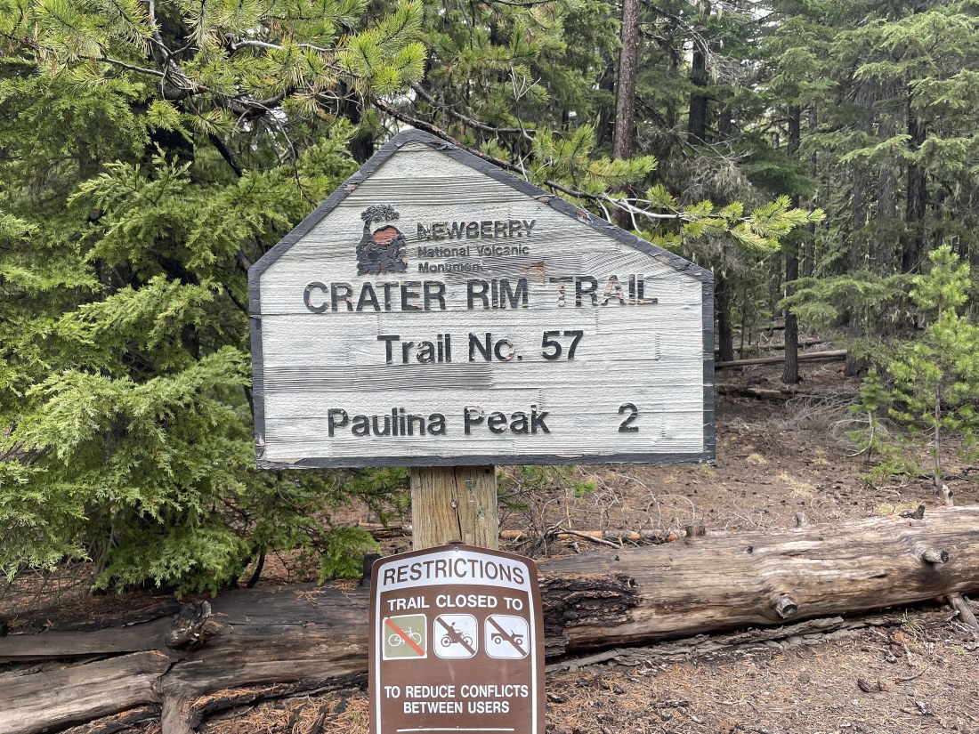
After hiking Road 500 for .65 miles we joined the Crater Rim Trail #57... and began hiking in the woods.
|
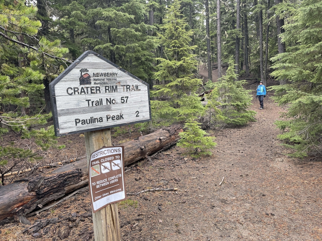
After hiking the Crater Rim Trail for .6 miles (a total of 1.25 miles from the car) we hit the snow in very steep terrain.
|
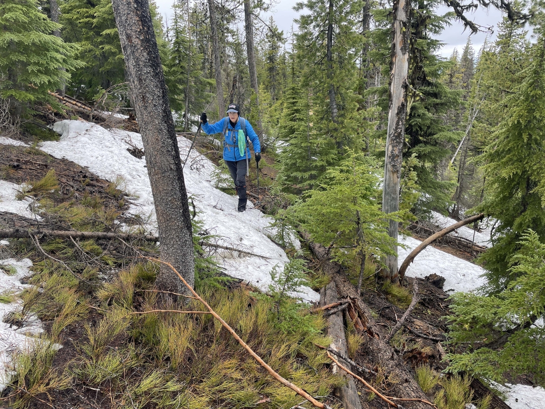
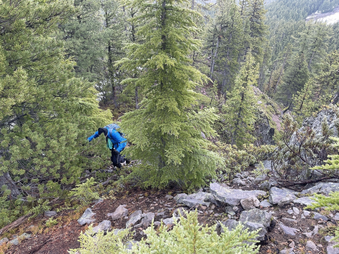
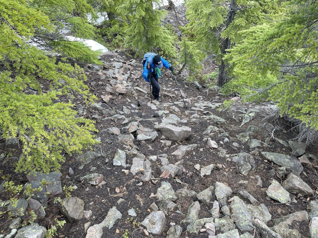
We left the trail when we hit the steep snow... then hiked 30 yards further east and headed uphill in very steep terrain... but we didn't have to deal with the snow.
|
Gaining elevation on steep terrain... but able to avoid the snow.
|
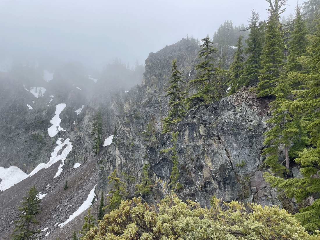
As we gained elevation the clouds began to take over.
|
Gaining elevation on steep terrain... but able to avoid the snow.
|
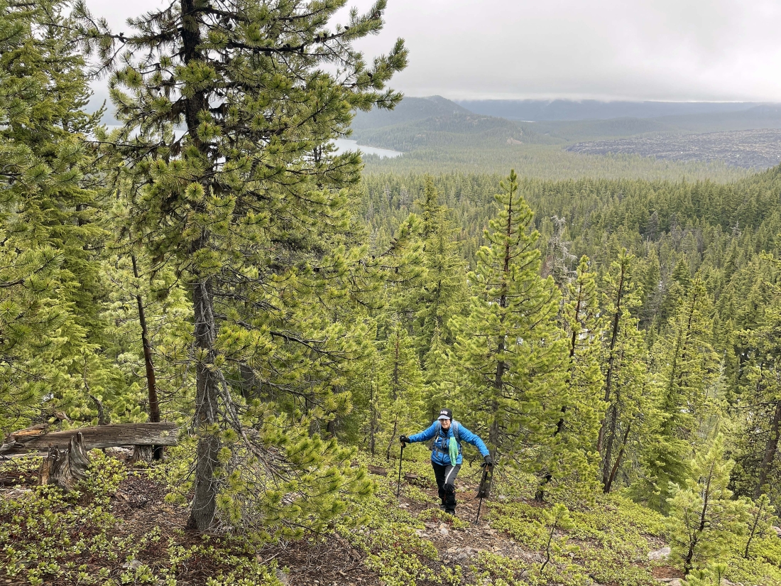
Gaining elevation on steep terrain... but able to avoid the snow... and the clouds are beginning to take away our view of Paulina Lake.
|
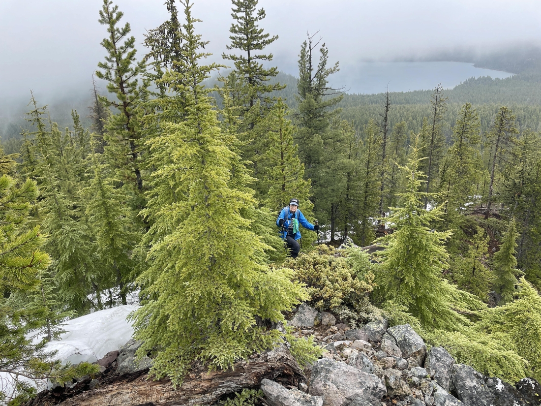
Gaining elevation on steep terrain... but able to avoid the snow.
|
Gaining elevation on steep terrain... but able to avoid the snow.
|
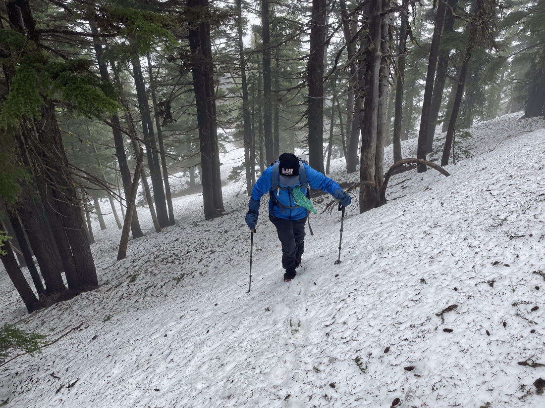
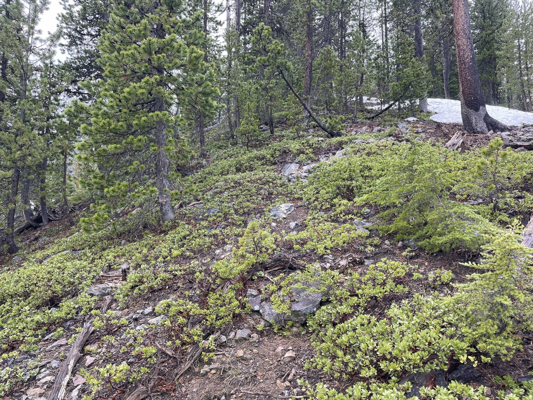
After gaining 500 feet of elevation on very steep terrain that helped us avoid the snow, we are now on steady snow... but at least it isn't as steep as the previous 500 feet of elevation gain.
|
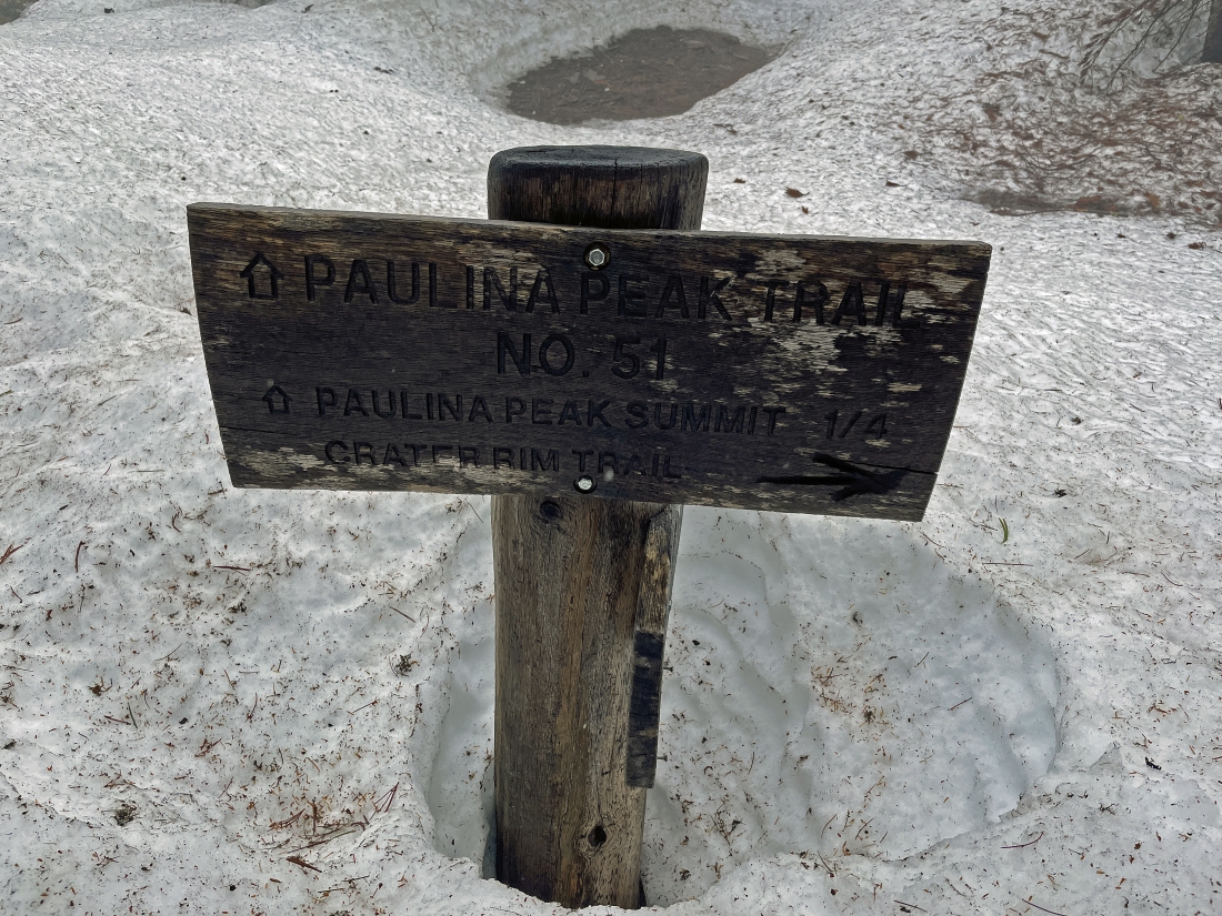
After hiking a total of 1.5 miles on Crater Rim Trail #57 (a total of 2.1 miles since leaving the car) we have reached the junction of the Crater Rim Trail #57 and Paulina Peak Trail #51... where we will leave the Crater Rim Trail and head for the summit of Paulina Peak... only a quarter mile away.
|
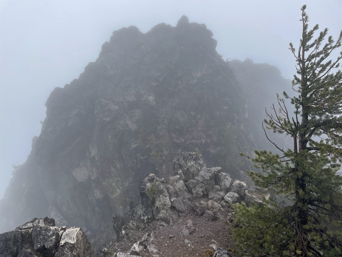
Well... with only 25 yards of visibility we went in the wrong direction after supposedly taking Paulina Peak Trail #51... and having done this hike several times we knew this wasn't the Paulina Peak summit... so take a closer look at the GPS track and correct the error.
|
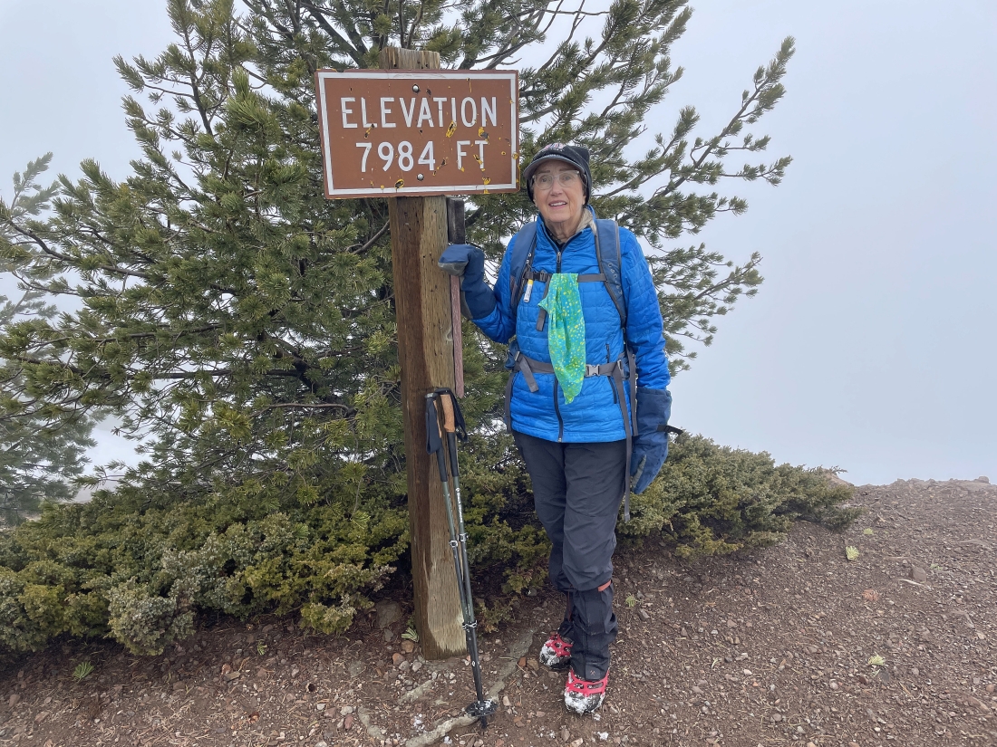
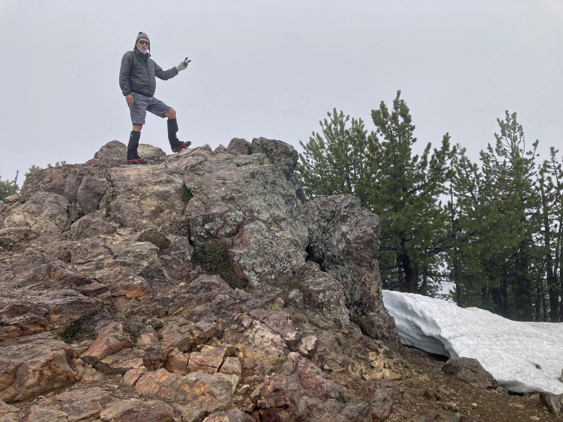
After hiking a total of 2.5 miles we have reached the 7,984 foot summit of Paulina Peak.
|
Denali Girl took this photo of me on the 7,984 foot summit... the sign in the previous photo is actually at 7,954 feet.
|
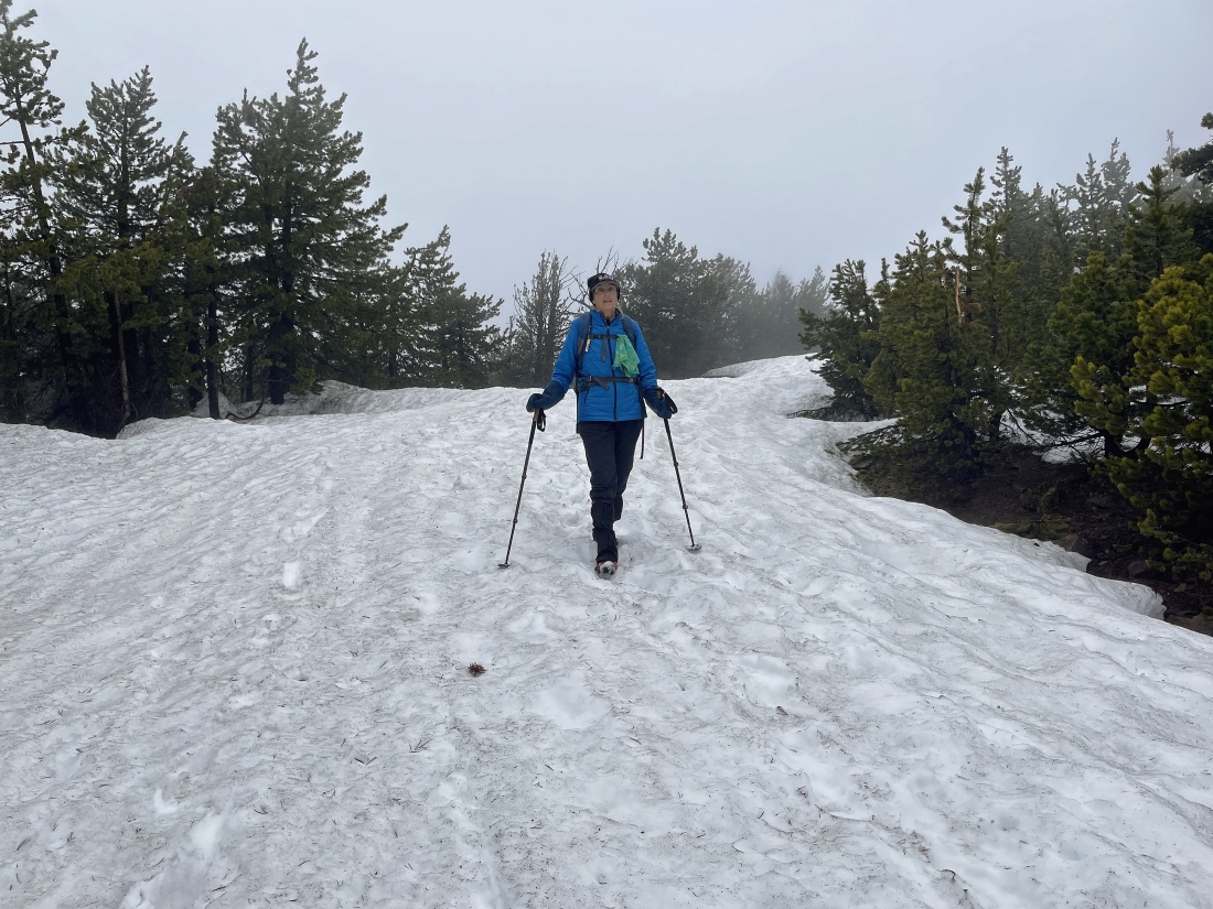
Visibility up top was so poor that we decided to take Road 500 back down to our car.
|
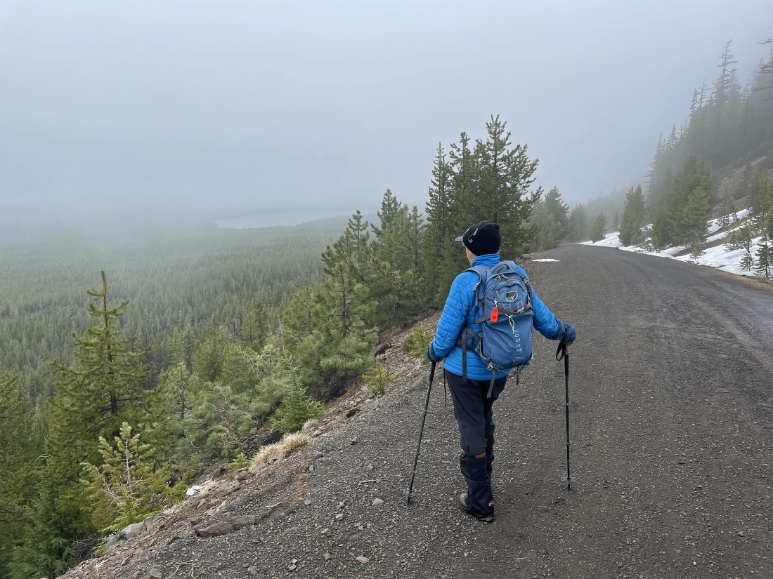
After hiking Road 500 for a couple miles we finally saw Paulina Lake again.
|
After hiking Road 500 from the Paulina Peak Summit for 3.3 miles we have closed the loop portion of our hike from where we began hiking on Crater Rim Trail #57 earlier in the day... so another .6 miles on Road 500 will get us back to our car.
|
Only a stone's throw from the gate and our car... the total hike was 6.4 miles, gaining 1657 feet of elevation.
|
