South Sister - 7.17.2024
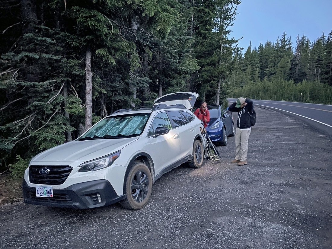
We parked on the south side of Cascade Lakes Hwy near Devils Lake... and started hiking at 5:15 am.
|
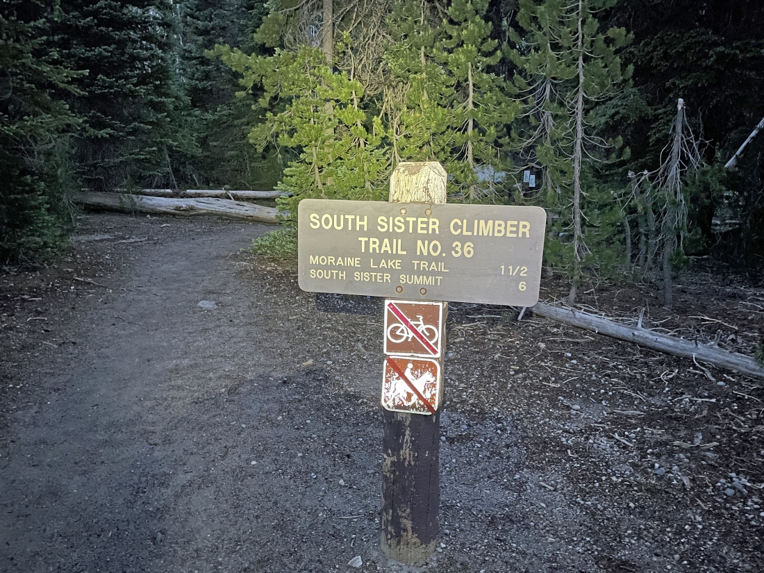
We crossed the Cascade Lakes Hwy from where we parked and began hiking on the South Sister Climber Trail #36... and we will follow this trail all the way to the summit of South Sister... and return to our car via the same trail.
|
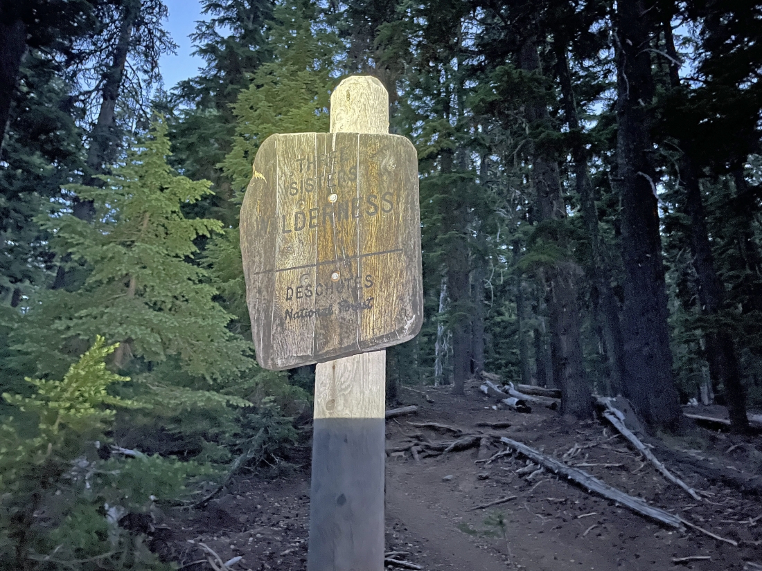
After hiking on the trail for one-tenth of a mile we entered the Three Sisters Wilderness.
|
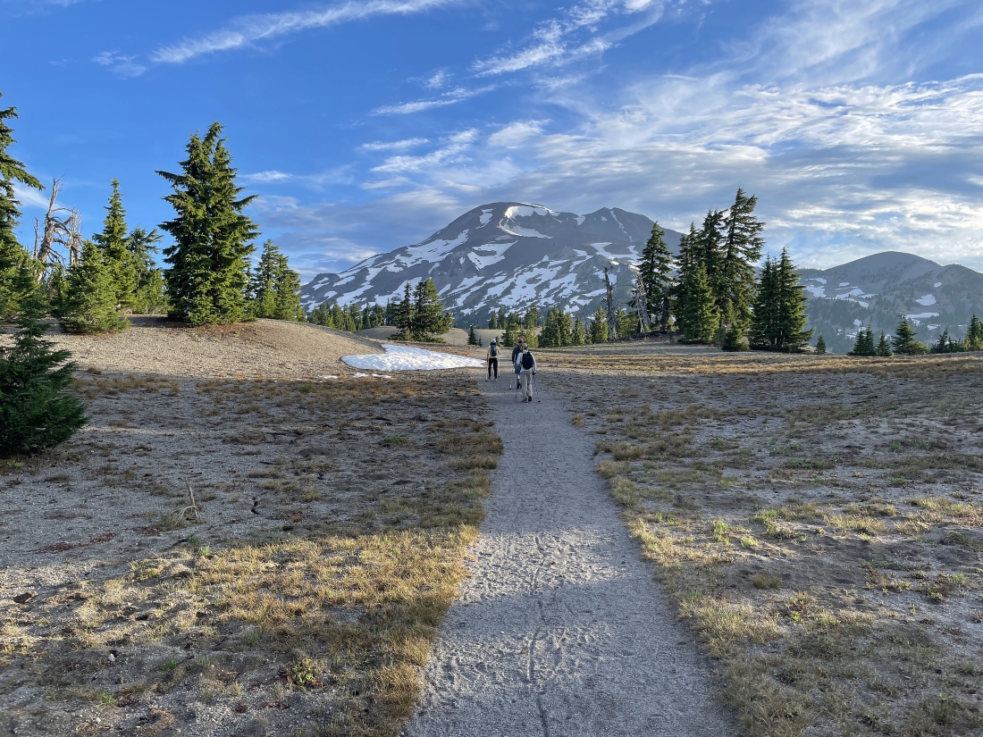
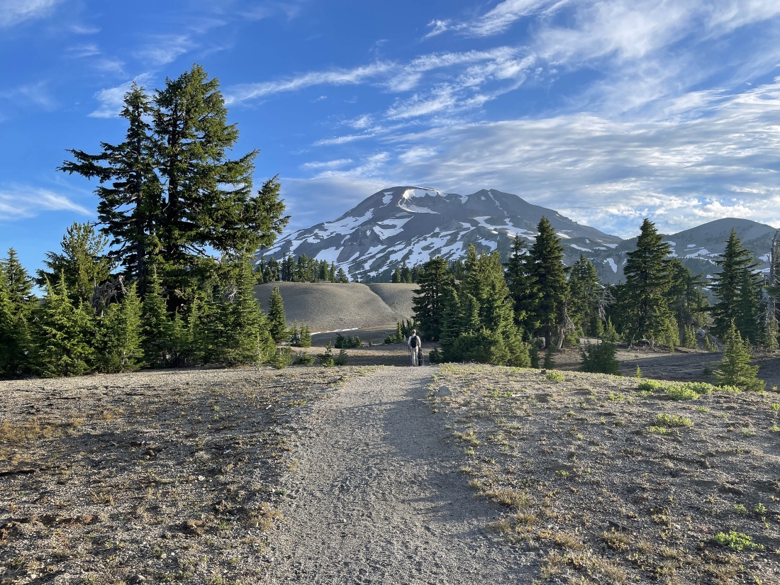
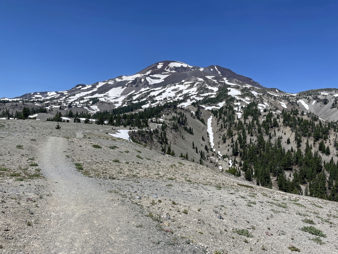
After hiking a total of 1.7 miles we have come up out of the forest... gaining 1200 feet of elevation and getting our first view of South Sister.
|
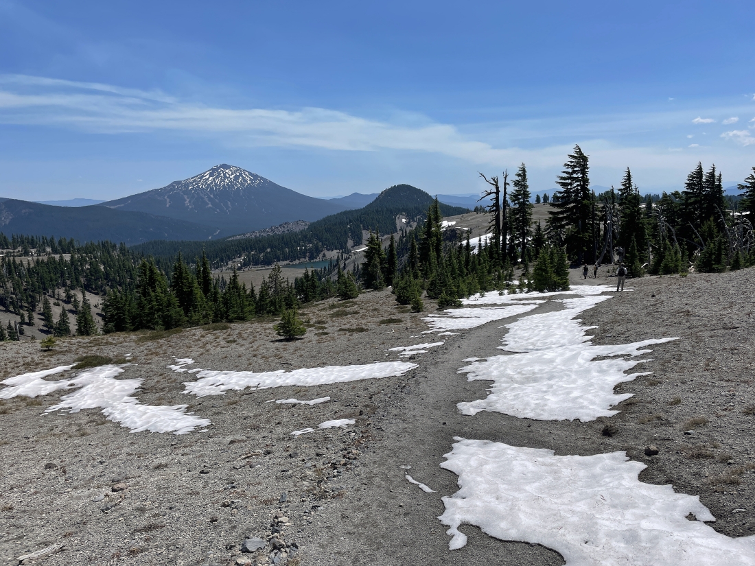
After coming up out of the forest the next 1.3 miles is fairly flat.
|
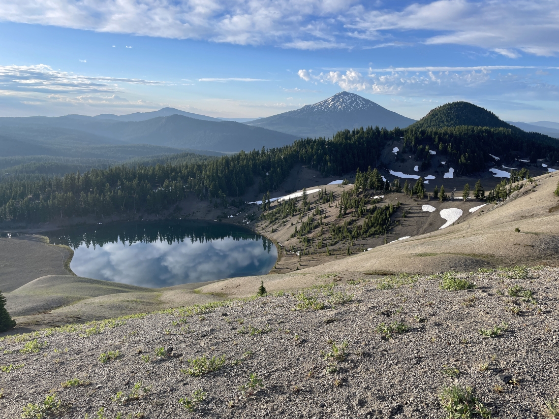
After hiking a total of 2.3 miles we are looking down on Moraine Lake and continuing to hike north... here looking back at Devils Hill in the right foreground and Mount Bachelor in the distance beyond Devils Hill.
|
After hiking a total of 3 miles we have started to hike uphill again... but it is eventually going to get a lot steeper than this.
|
Continuing to gain elevation on South Sister Climber Trail #36.
|
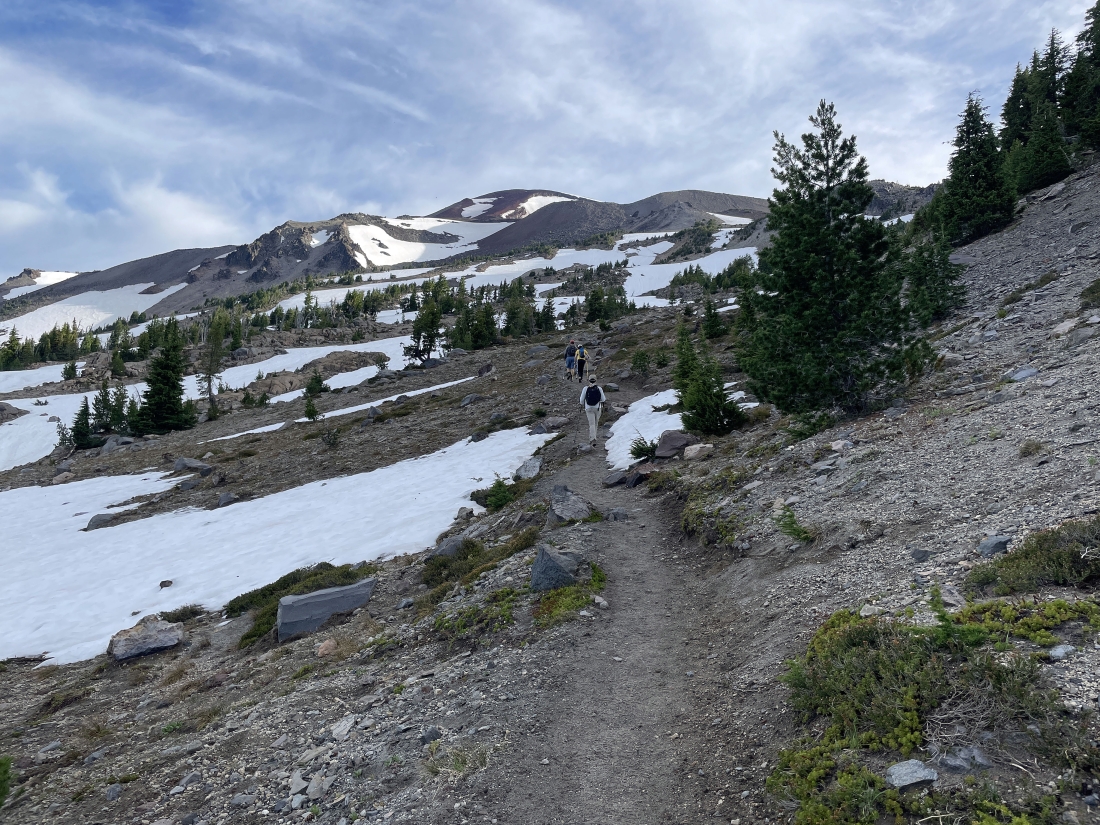
We have hit some snow fields around 7300 feet... but they are not continuous.
|
Dealing with the same snow field in the previous photo.
|
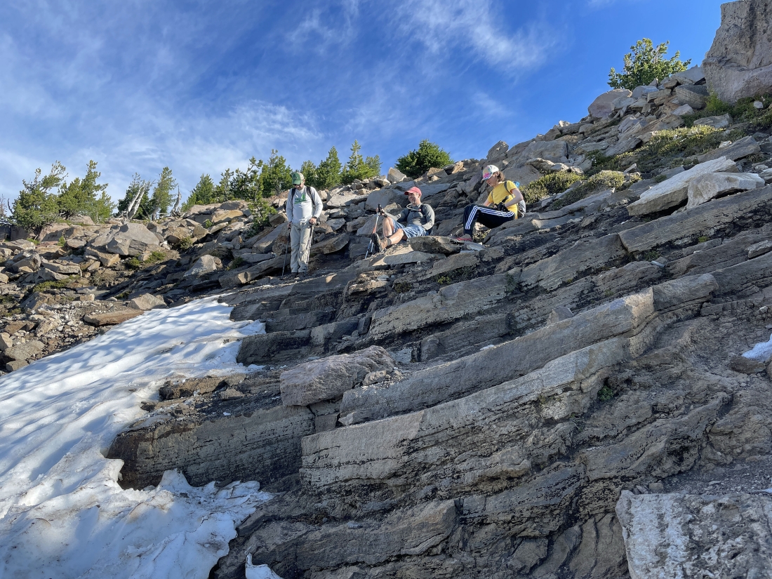
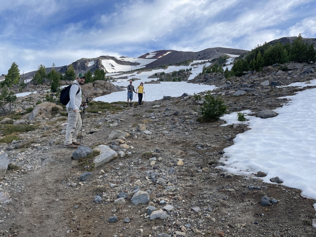
Taking a break as we continue to gain elevation on the trail.
|
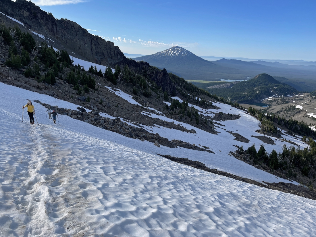
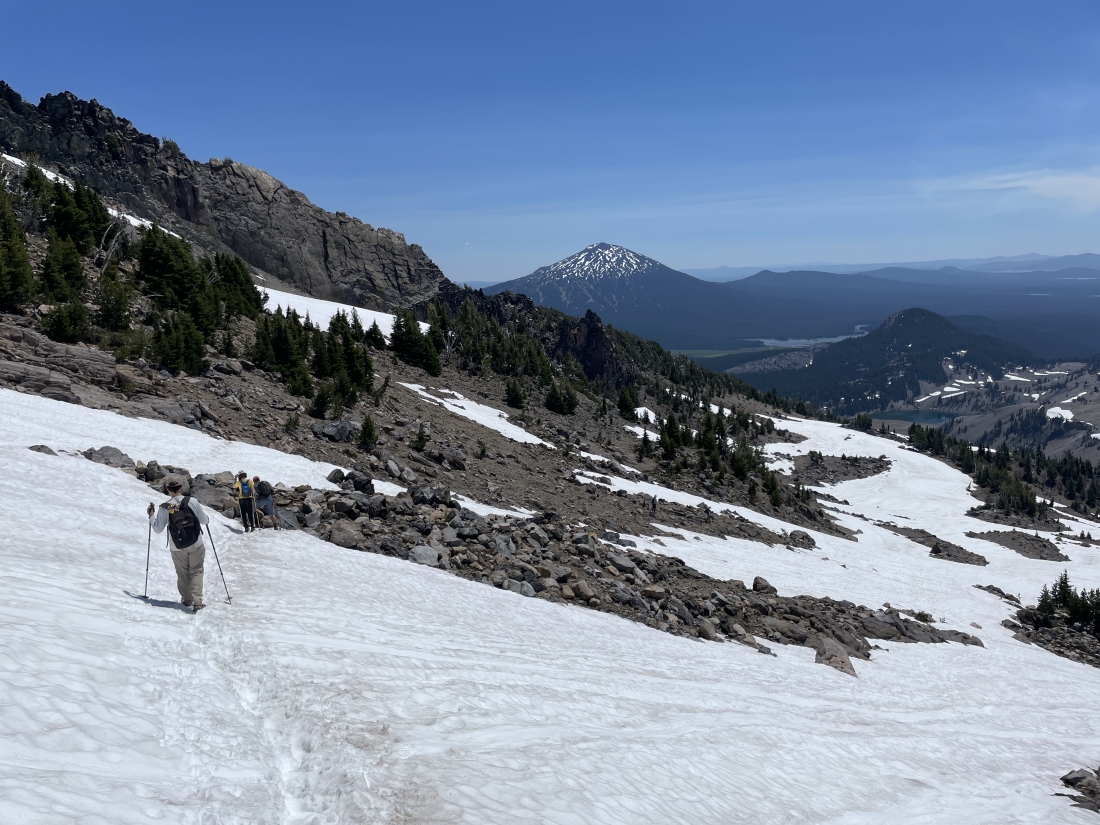
Continuing to gain elevation... here looking back at Mount Bachelor and some of the lakes that are accessible via the Cascade Lakes Hwy.
|
Continuing to gain elevation... here looking over to the east at Broken Top.
|
Looking up at my hiking partners as they are almost up to the Lewis Tarn.
|
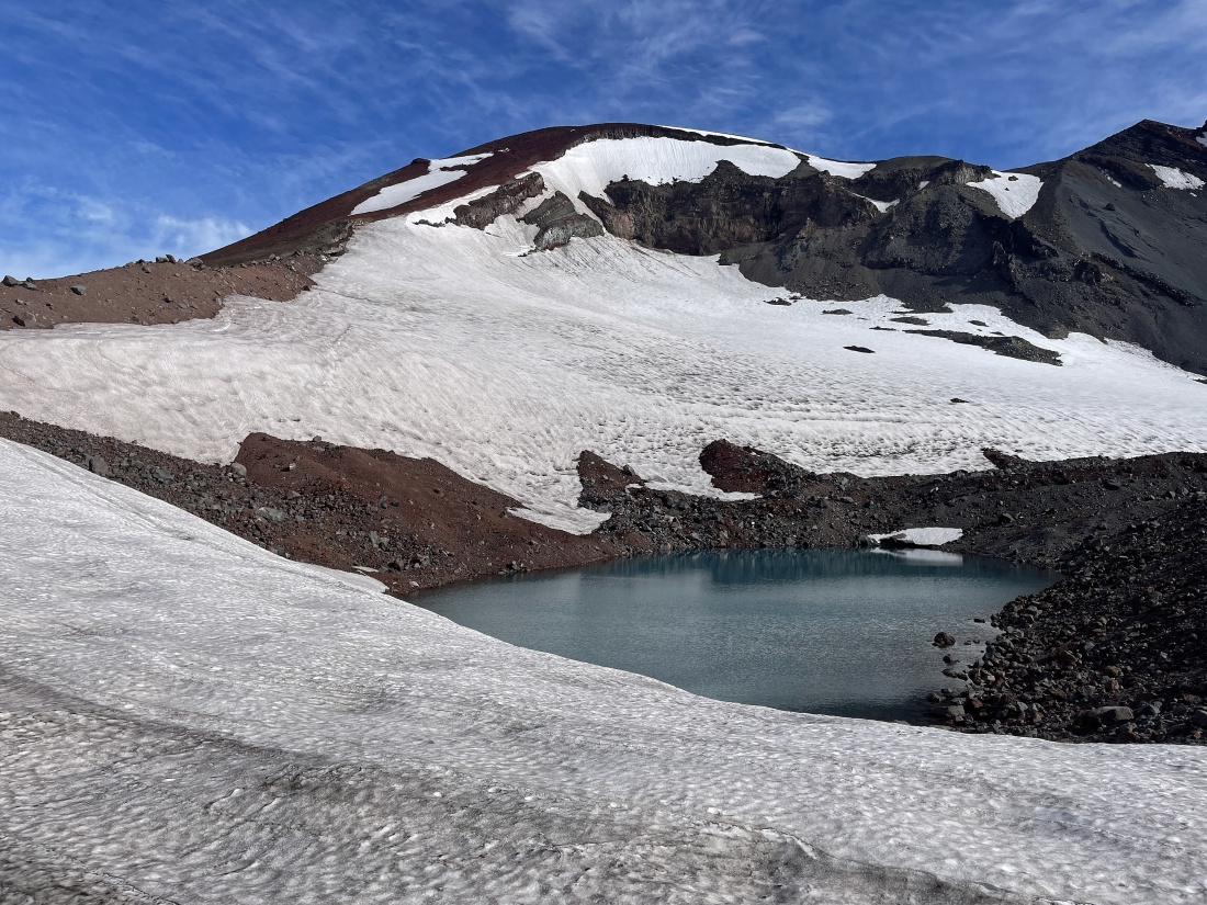
After hiking a total of 4.5 miles we are at 8,840 feet... looking down on the Lewis Trarn... located at the foot of the Lewis Glacier.
|
|
Looking back to the south from our spot above the Lewis Tarn.
|
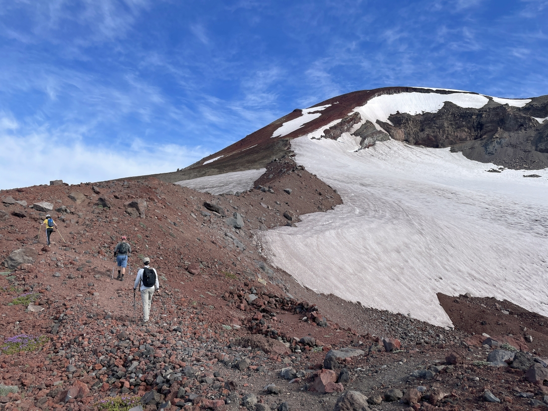
Leaving the Lewis Tarn we have begun hiking up 'The Red Mile' that will take us up to the South Sister crater rim.
|
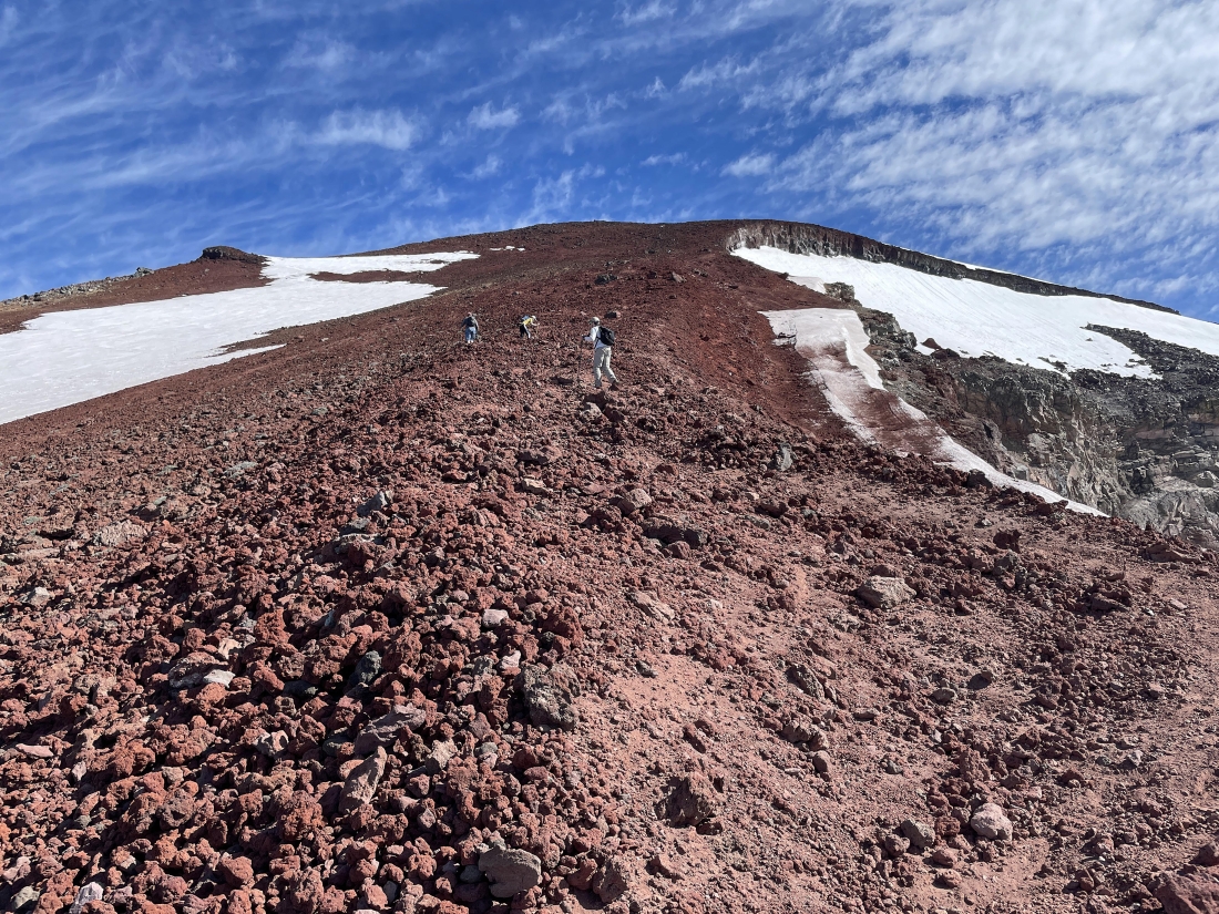
Continuing to gain elevation up 'The Red Mile'.
|
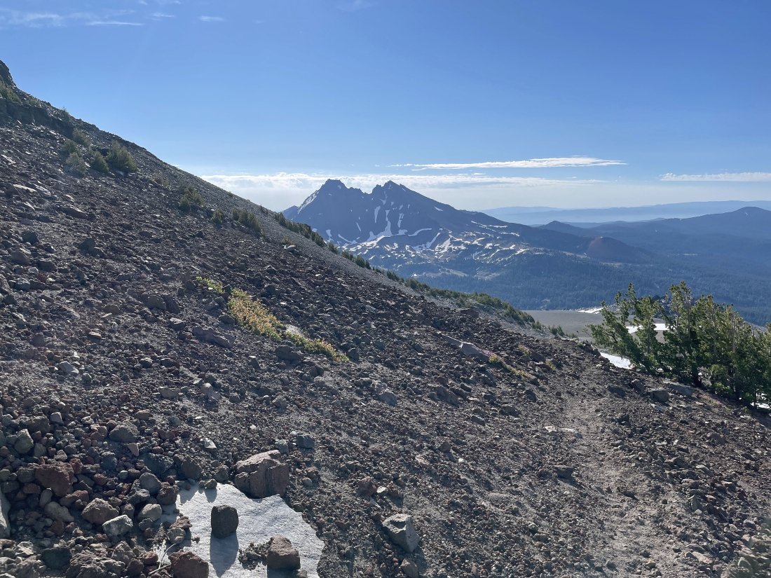
Still gaining elevation up 'The Red Mile'... here looking back down at the Lewis Tarn... with Broken Top in the distance on the left... and Mount Bachelor on the horizon in the middle of the photo.
|
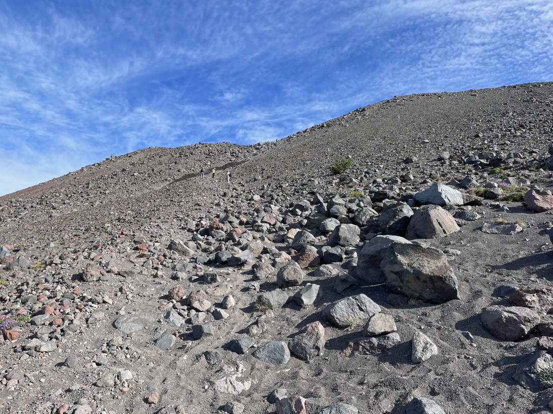
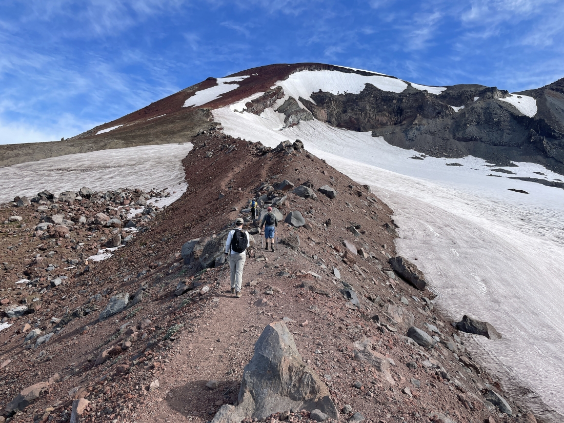
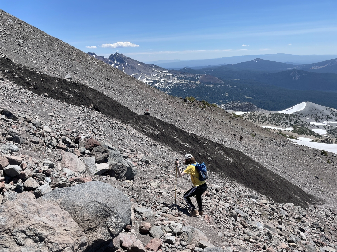
Continuing to gain elevation up 'The Red Mile' on very steep terrain... hiking between the Clark Glacier on the left... and the Lewis Glacier on the right.
|
|
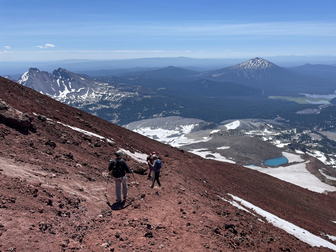
Looking back to the south as we gain elevation on 'The Red Mile'.
|
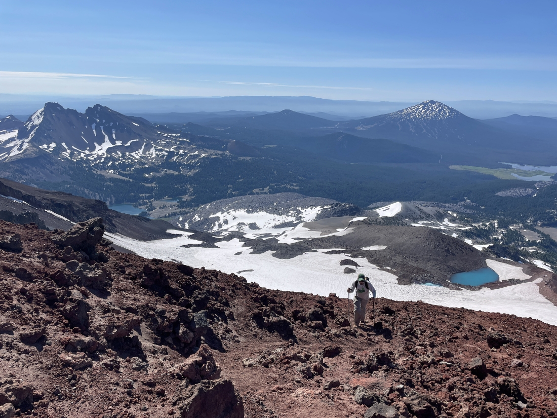
Almost up to the crater rim of South Sister... we can see two of the Green Lakes in the distance at the foot of Broken Top on the far left.
|
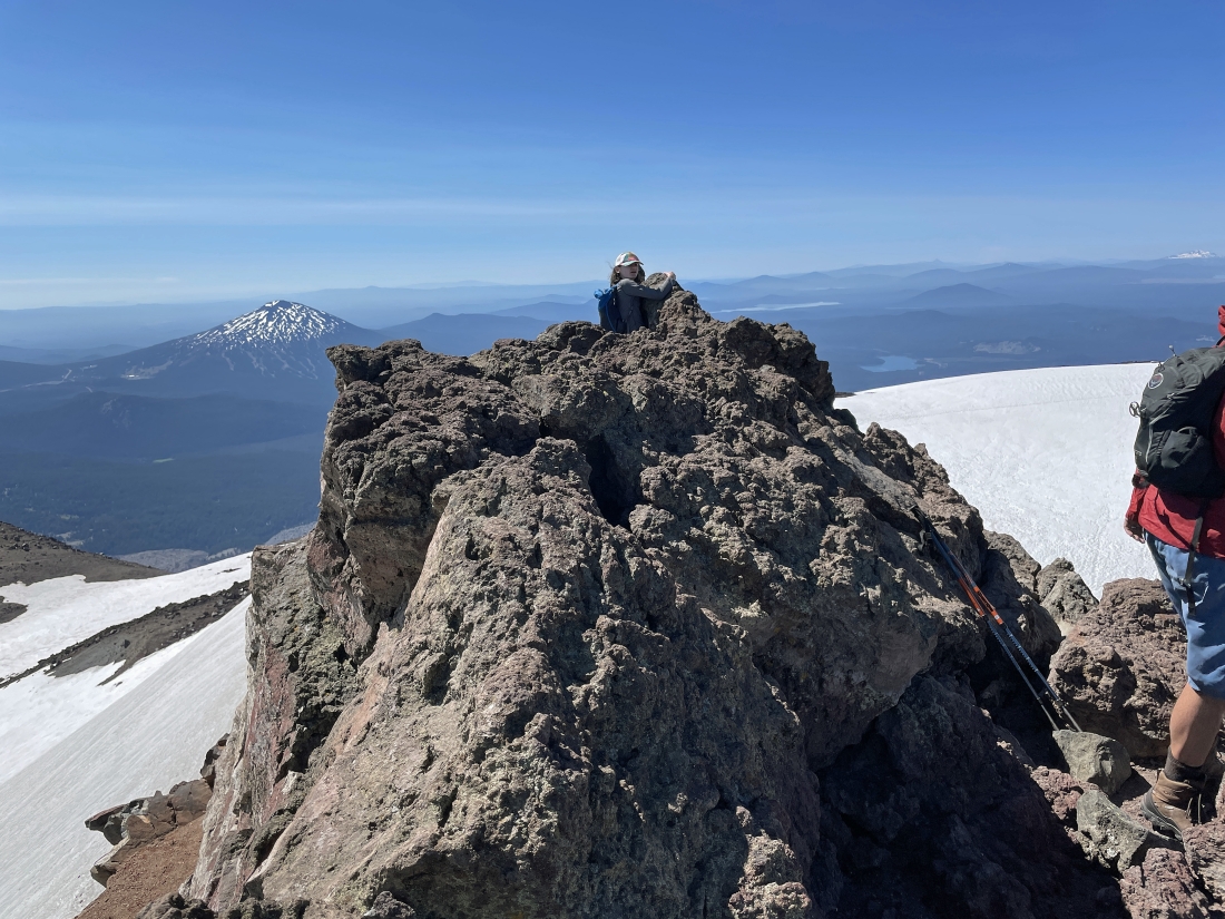
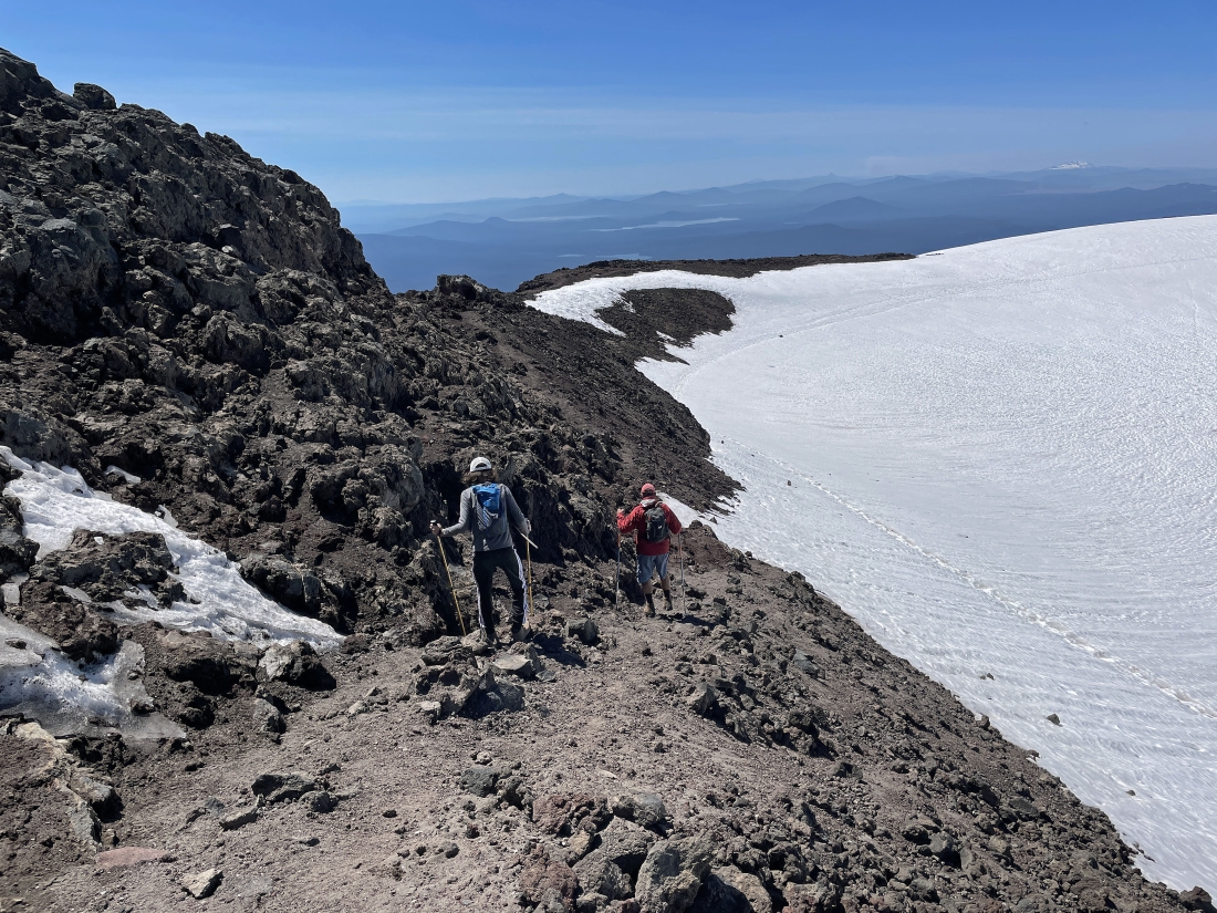
After hiking a total of 5.3 miles we have reached the crater rim of South Sister at 10,190 feet... having gained 1,350 feet of elevation in nine-tenths of a mile since leaving the Lewis Tarn... the South Sister summit is across the snow field... but we will get there by staying out of the snow and going around the rim to the right.
|
Hiking around the crater rim... here looking beyond Hodge Crest in the foreground to Broken Top in the distance.
|
Josh and his 14 year old son Gabe are in the foreground... and Ryan is out there on the horizon.
|
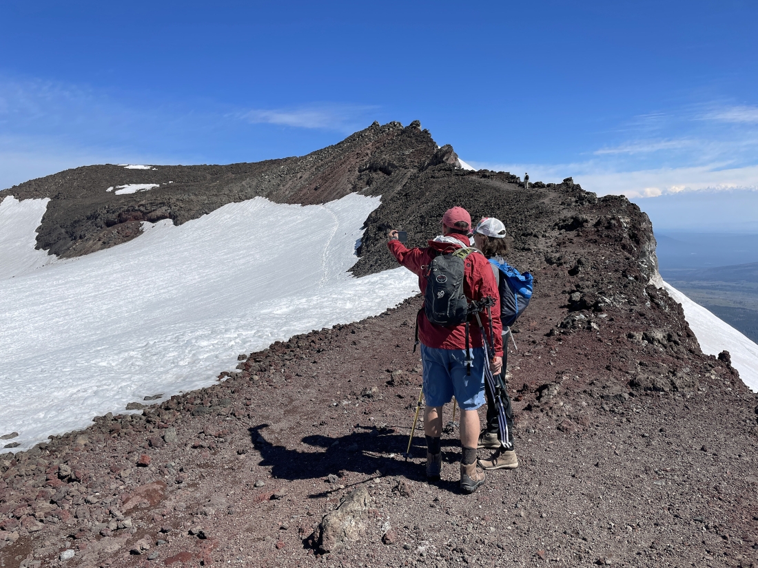
Working our way around the crater rim... reeling in the summit of South Sister.
|
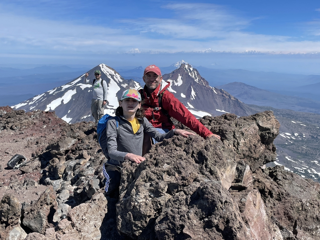
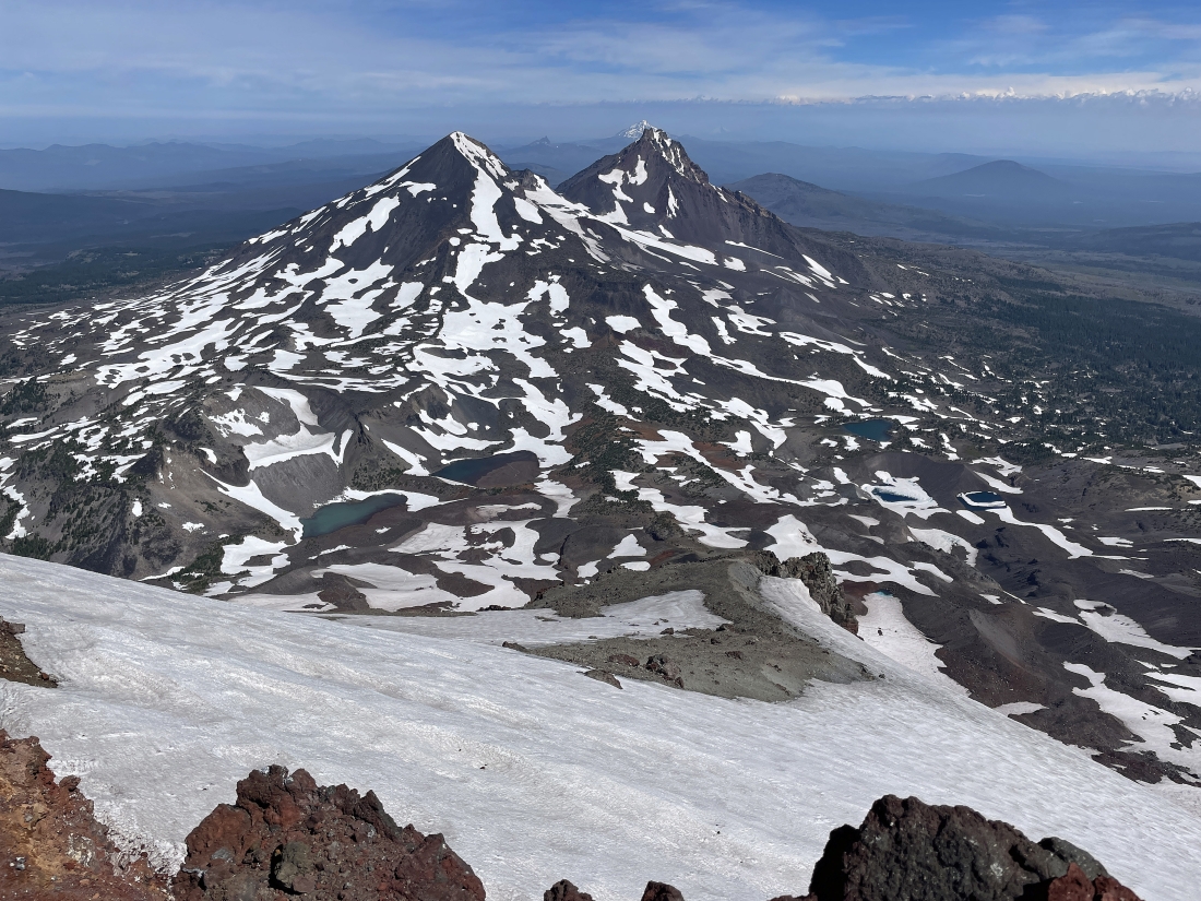
After hiking a total of 5.6 miles we are standing on the 10,358 foot summit of South Sister... with Middle Sister in the distance on the left... and North Sister in the middle of the photo.
|
Josh's son is hugging the summit of South Sister... with Mount Bachelor in the distance on the left.
|
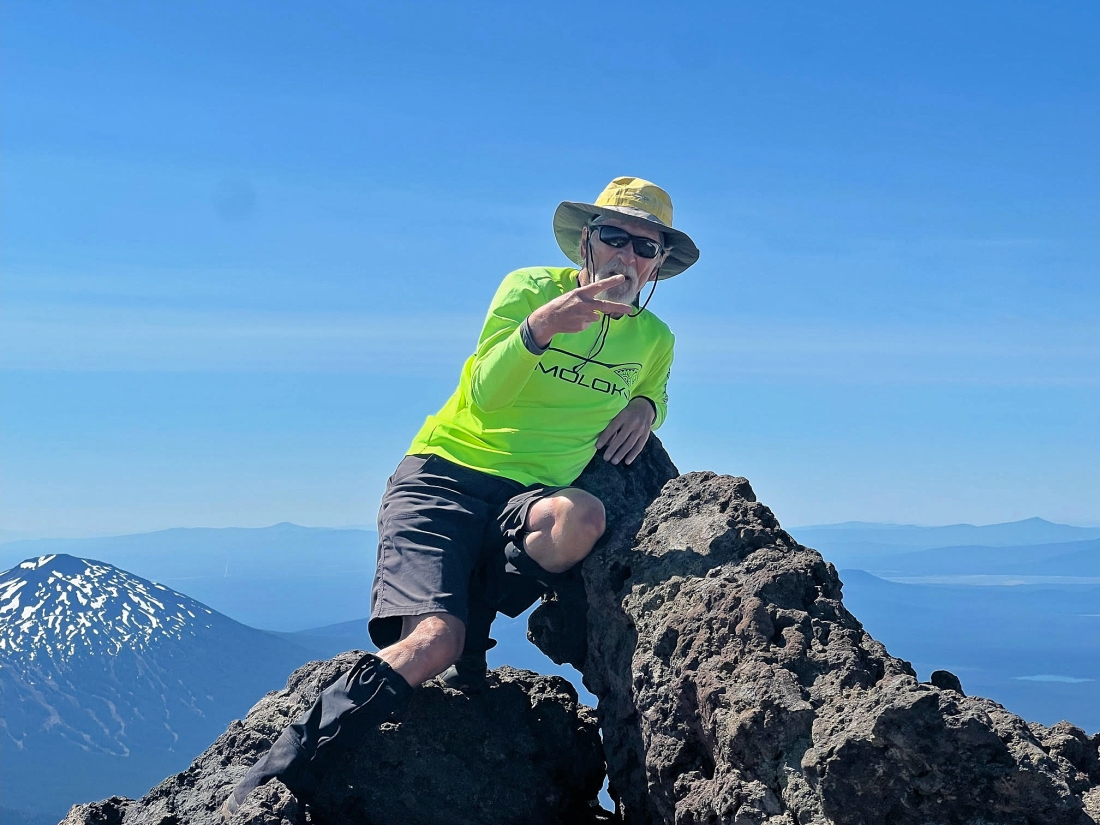
Josh took this photo of me on the summit.
|
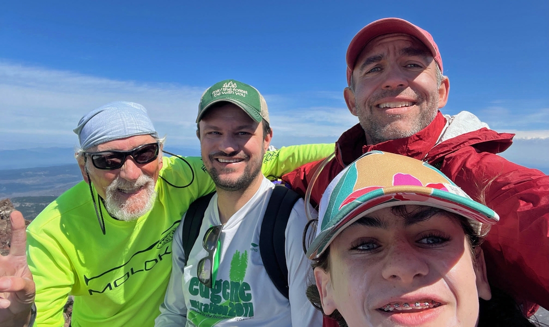
Josh took this summit photo... left to right... me (a boomer)... Ryan and Josh (millennials)... and Josh's son Gabe (Gen Z).
|
A close up... looking down on the Chambers Lakes below Middle Sister... with North Sister beyond Middle Sister.
|
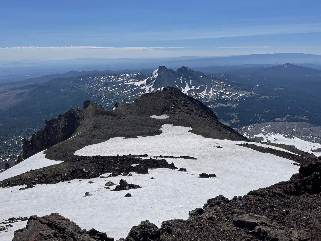
Looking at part of the crater rim that continues on from the South Sister summit around to where we came up to the rim earlier... but today we will trace our steps back to where we came up to the rim instead of going all the way around the rim.
|
It was really windy on the summit so we found this really nice ledge to rest on... located just 20 feet below the summit on the east side of the summit.
|
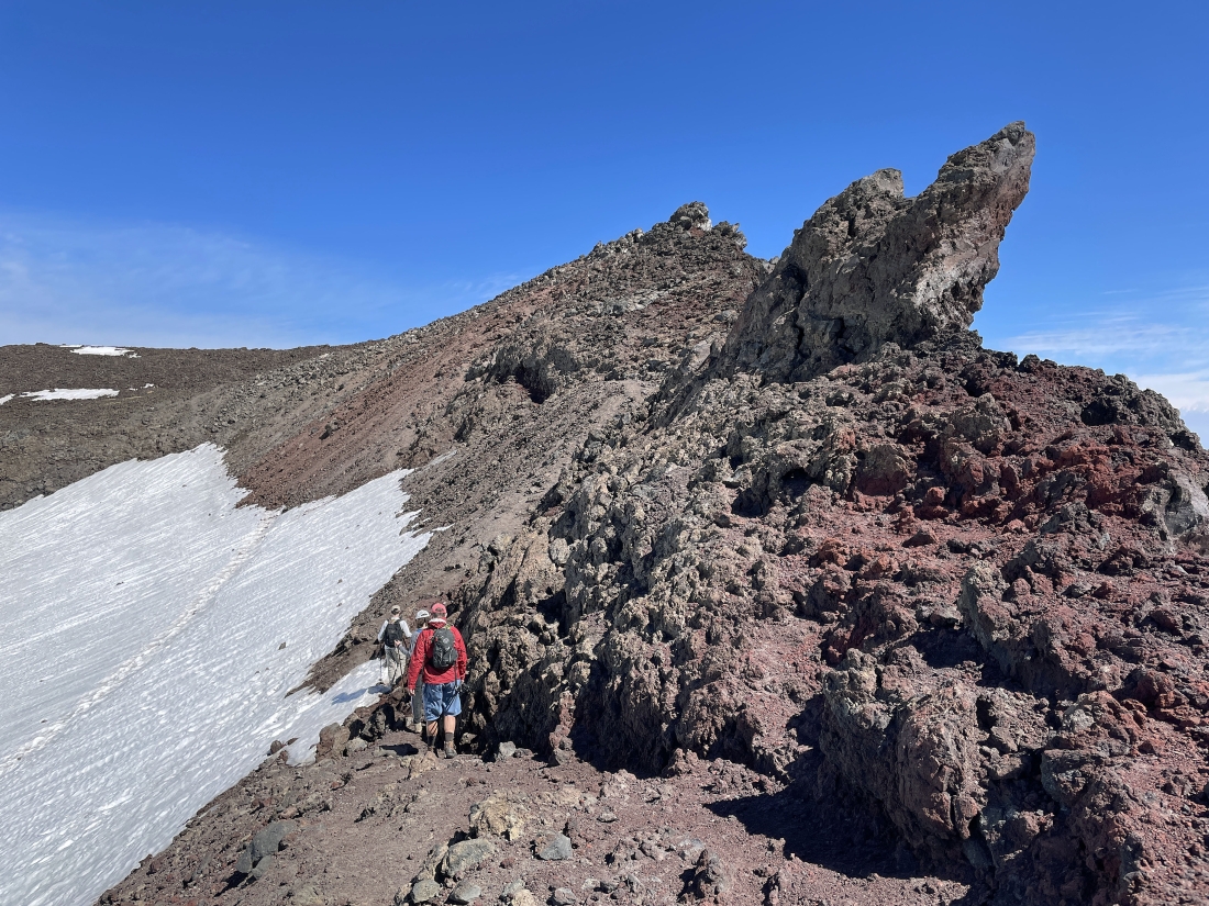
Tracing our steps back along the crater rim.
|
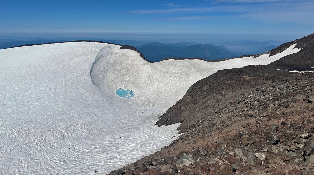
Josh took this photo of the 'Teardrop Pool'... looking over at the west side of the crater rim.
|
|
Continuing to trace our steps back to where we came up to the crater rim.
|
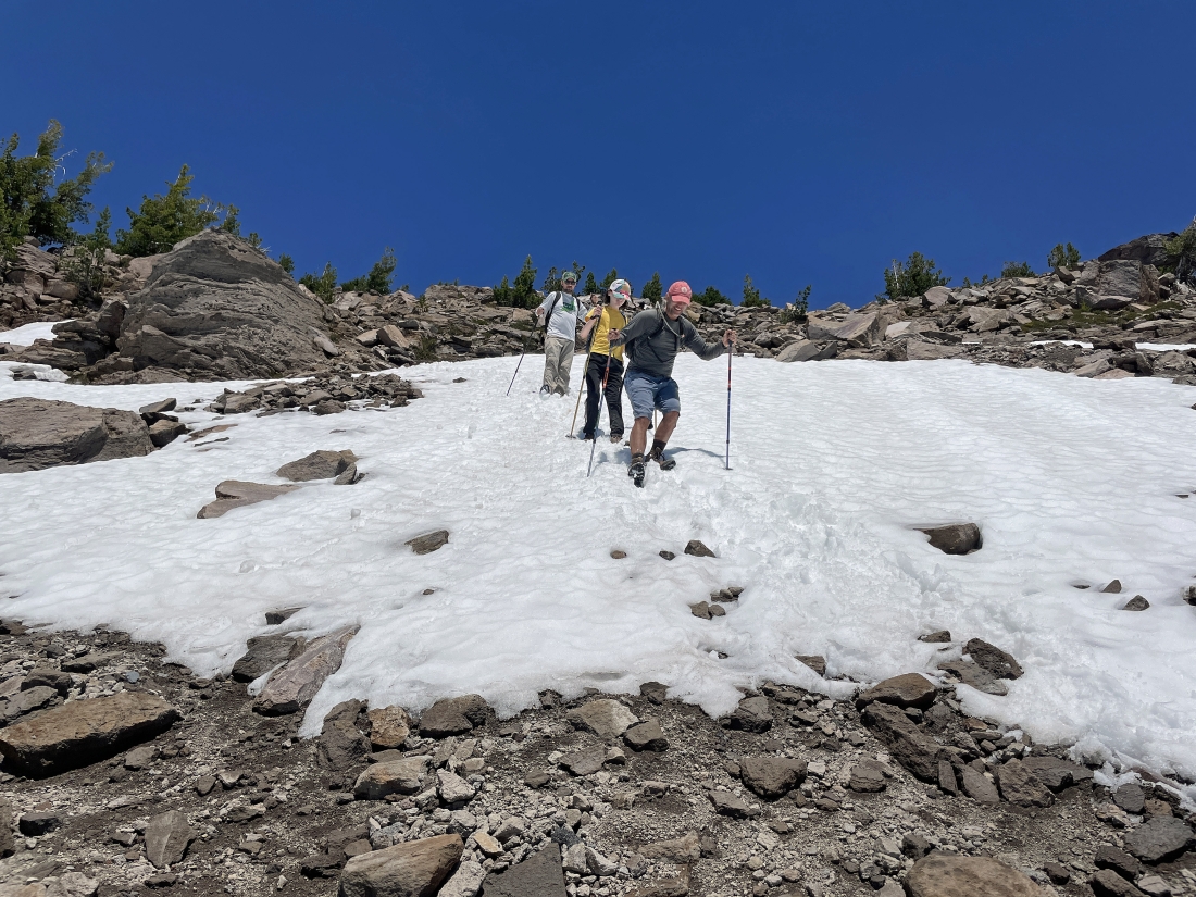
Heading back down 'The Red Mile'.
|
Continuing back down 'The Red Mile'... with a large group coming up... 100 permits are available each day... but we only saw roughly 35 people all day.
|
Almost back down to the Lewis Tarn... and that bump just beyond the tarn is Lewis Glacier Peak.
|
We are below the Lewis Tarn and continuing to trace our steps back to the car.
|
Tracing our steps back to the car.
|
Tracing our steps back to the car.
|
Tracing our steps back to the car.
|
Tracing our steps back to the car.
|
Tracing our steps back to the car.
|
Tracing our steps back to the car.
|
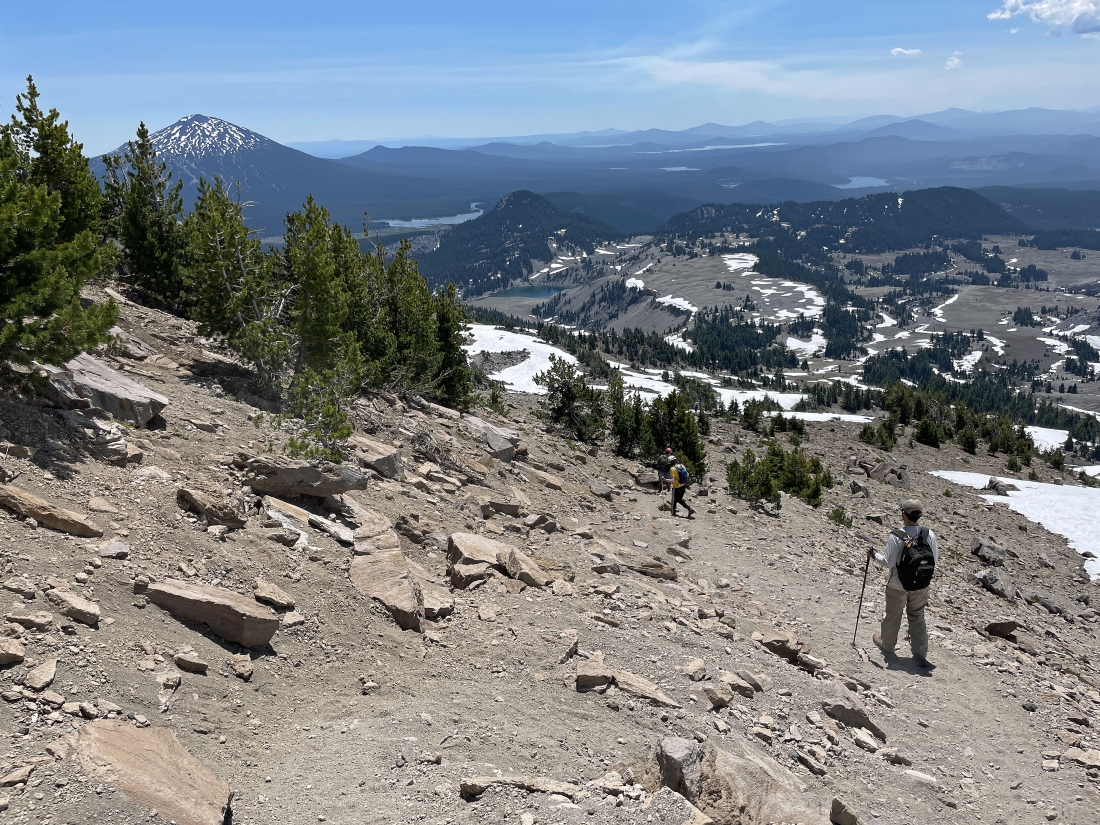
Tracing our steps back to the car... finally reaching that 1.3 miles of fairly flat terrain.
|
On the flat terrain... here looking back at South Sister.
|
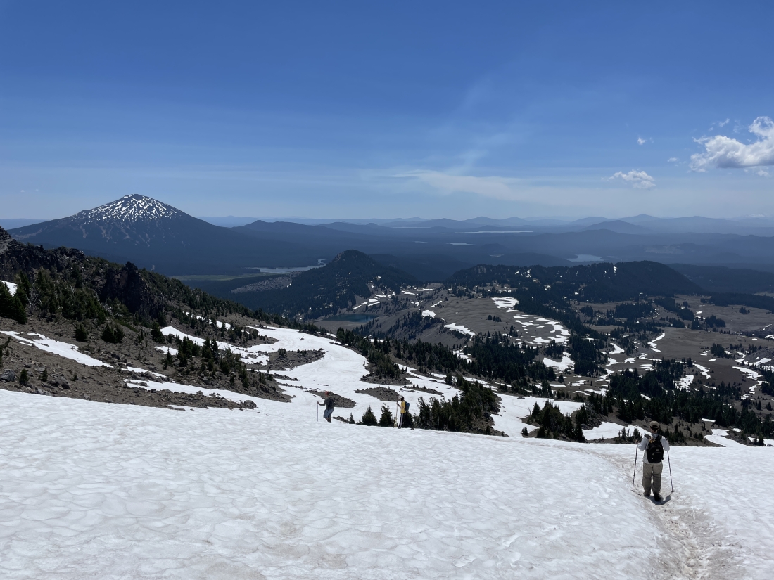
Continuing to hike along the flat terrain above Moraine Lake.
|

Getting ready to leave the flat terrain and re-enter the 1.7 miles of forest hiking that will get us back to the car... the total hike was 11.6 miles, gaining 4,969 feet of elevation.
|
