Broken Hand West - 8.1.2024
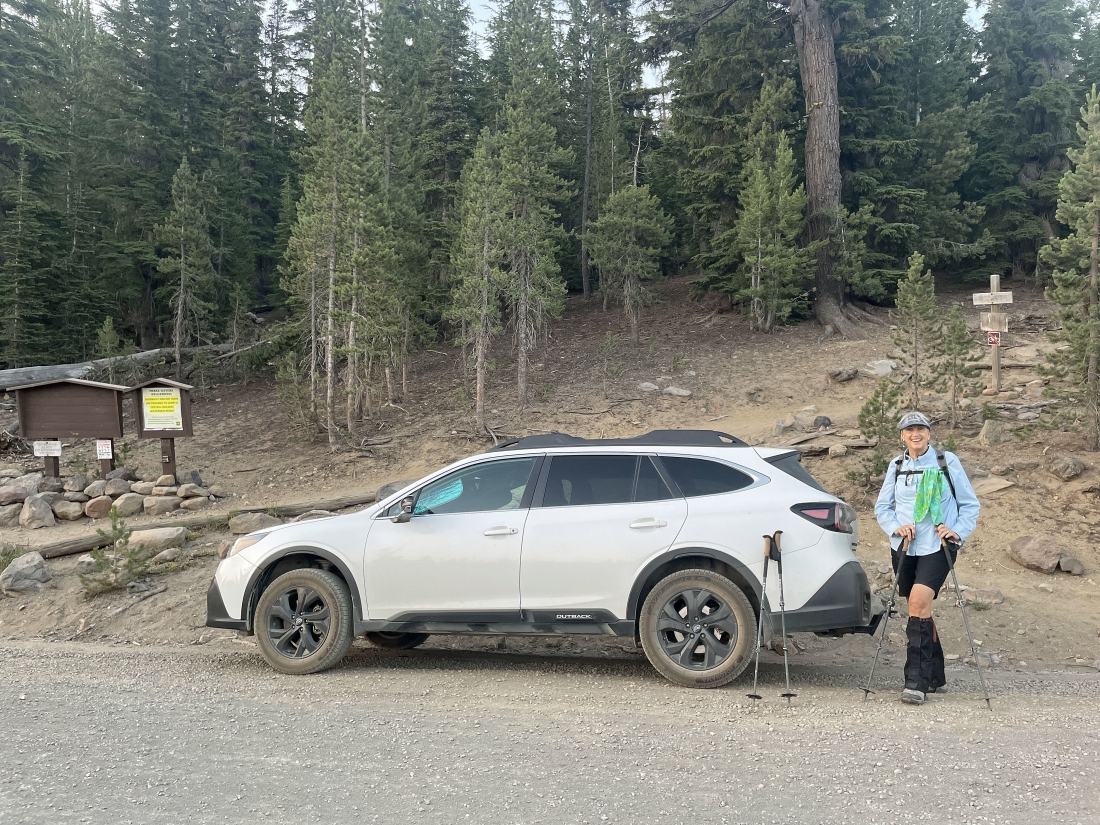
From the town of Sisters, Oregon... we drove a total of 15.8 miles using Three Creeks Road and Forest Service Road 16... then parked on the side of the road at the trailhead for Tam McArthur Rim Trail 4078... arriving at 6:00am.
|
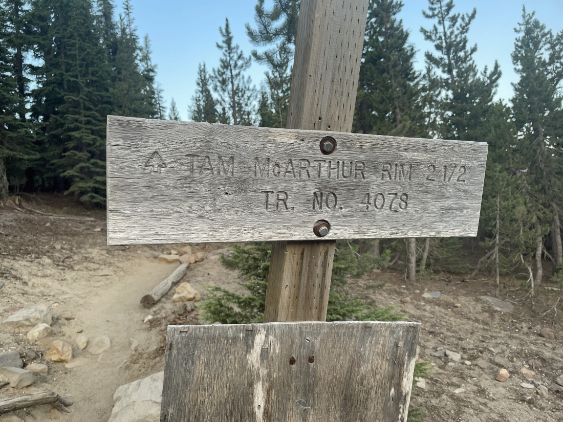
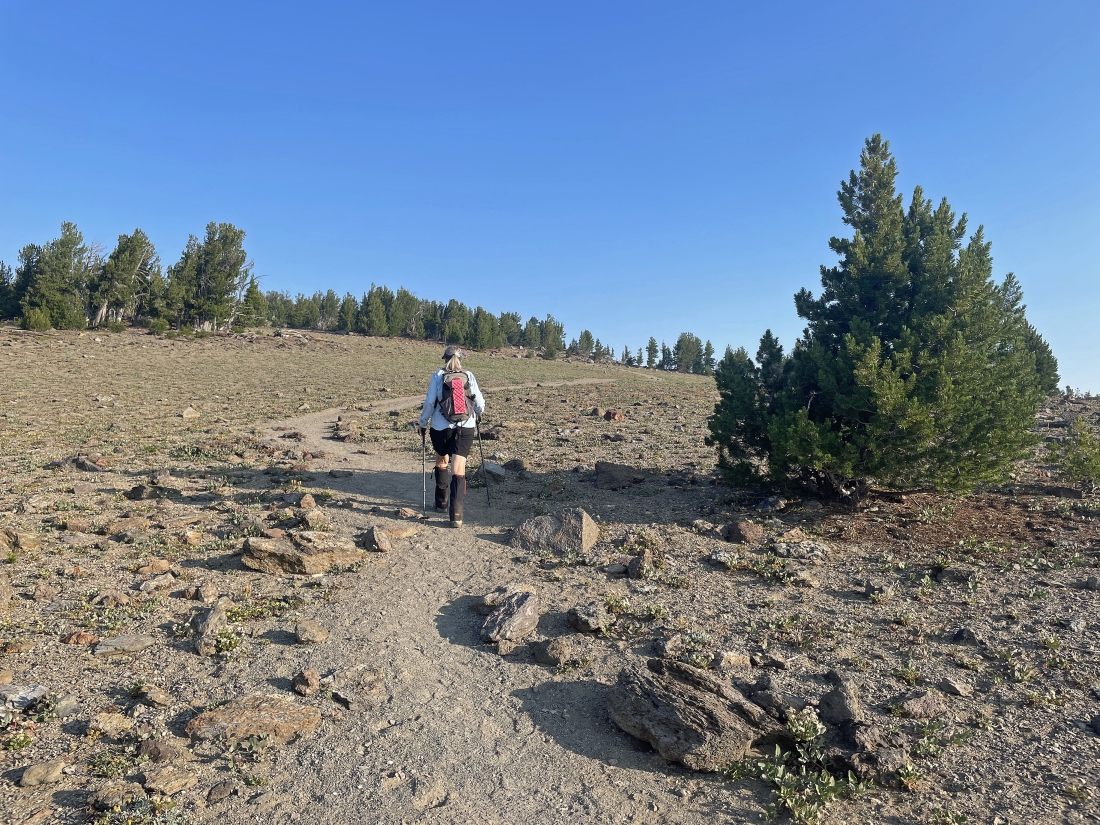
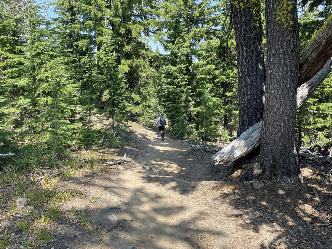
Tam McArthur Rim Trail 4078 wastes no time in gaining elevation.
|
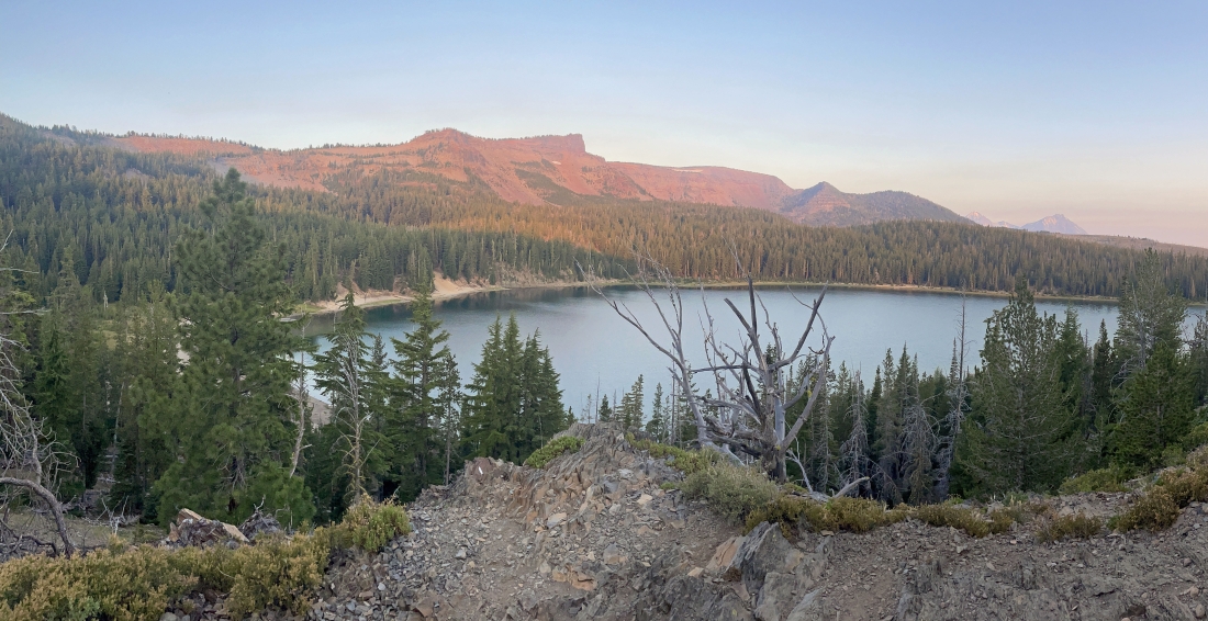
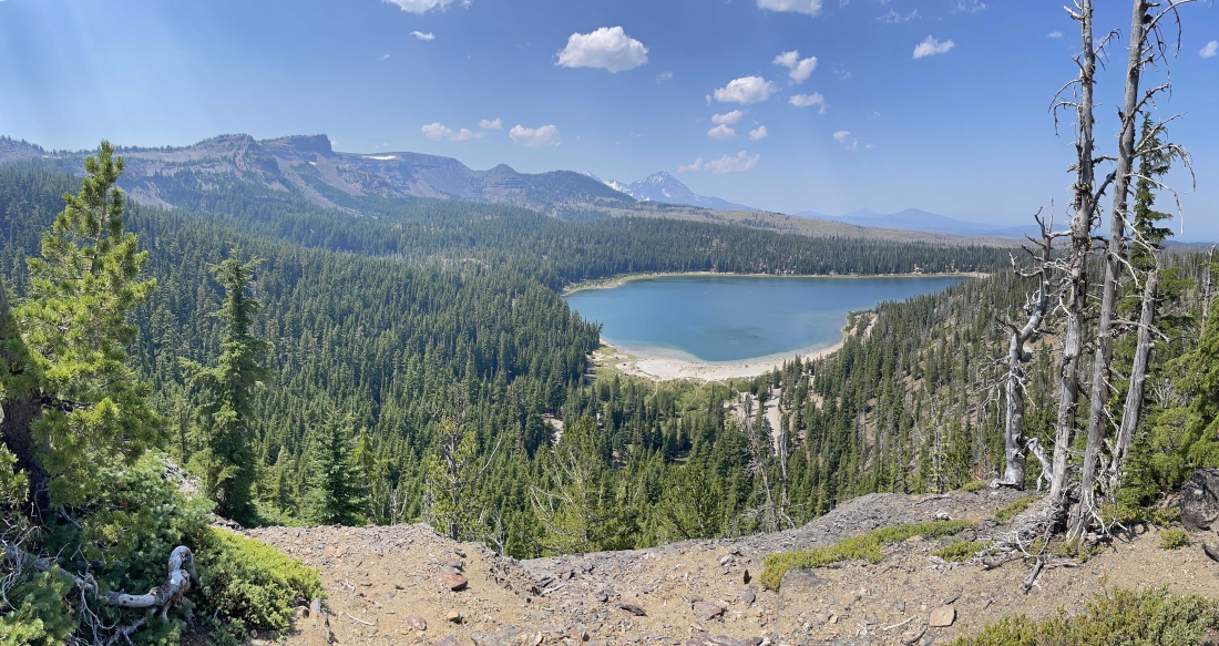
After hiking less than a half-mile we are looking down on Three Creek Lake... with Point 7732 on the horizon in the center of the photo... and it will be our first stop.
|
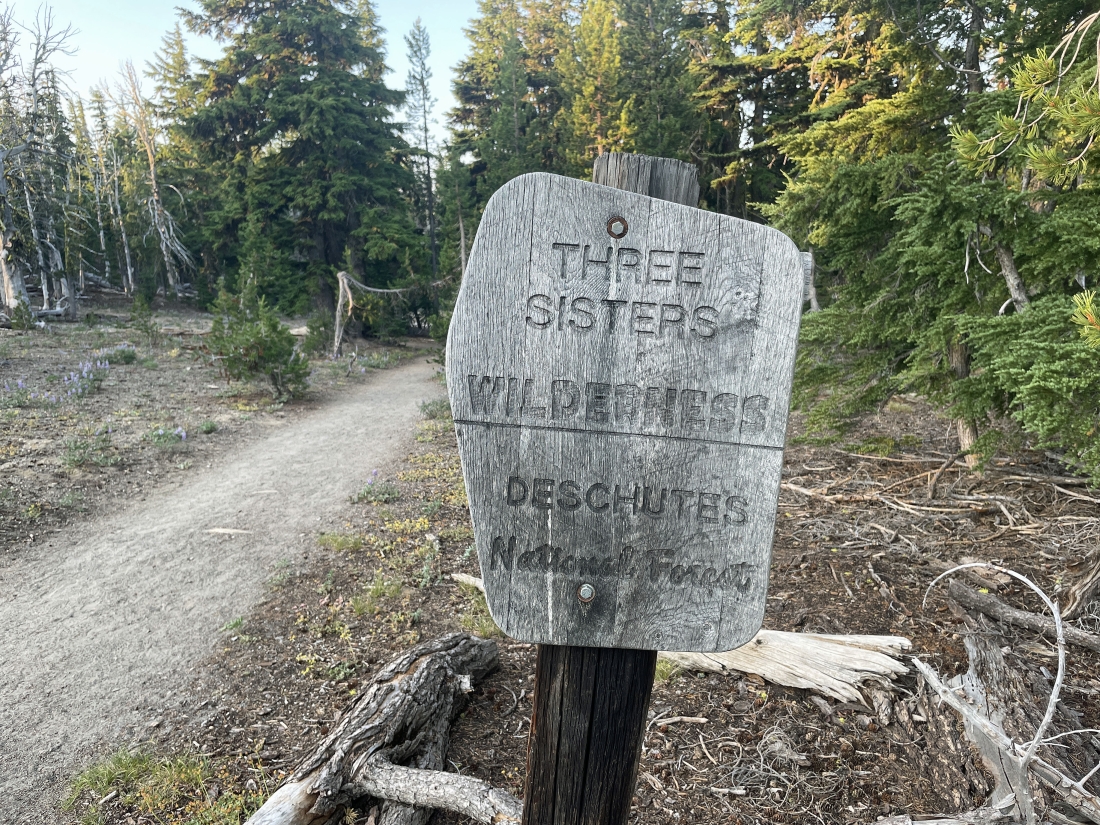
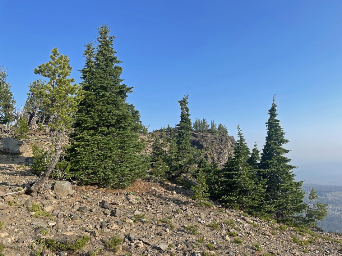
After hiking a total of 1 mile we will enter the Three Sisters Wilderness.
|
Continuing to hike on Tam McArthur Rim Trail 4078 and getting closer to Point 7732.
|
We can see Point 7732 in the distance.
|
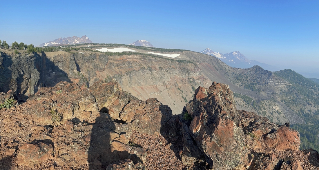
After hiking a total of 2.8 miles we have reached Point 7732... here looking west and NW out to mountains on the horizon... Broken Top on the left, South Sister in the middle... with Middle Sister and North Sister on the right.
|
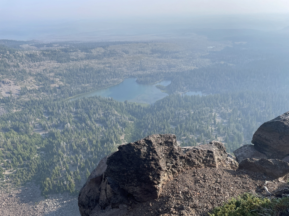
Looking down on Little Three Creek Lake from Point 7732.
|
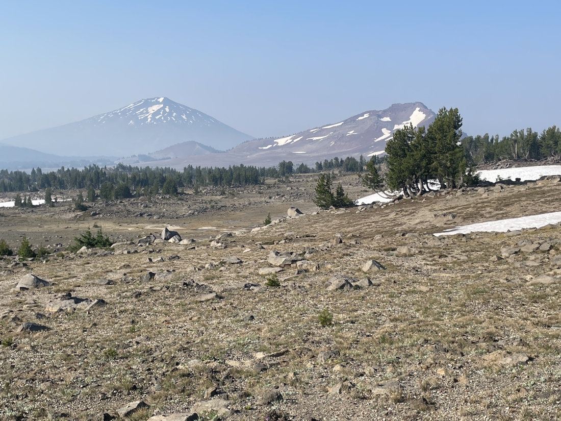
Continuing to hike west on Tam McArthur Rim Trail 4078... here looking south toward Mount Bachelor on the left... and Ball Butte on the right.
|
Getting closer to Broken Top on the horizon.
|
Getting closer to Broken Top on the horizon.
|
Getting closer to Broken Top on the left horizon... with South Sister on the right horizon.
|
Denali Girl gaining elevation on Tam McArthur Rim Trail 4078... with Broken Top and the Three Sisters on the horizon.
|
Continuing to gain elevation... looking south to Tumalo Mountain on the far left... with Mount Bachelor and Ball Butte in the middle of the photo.
|
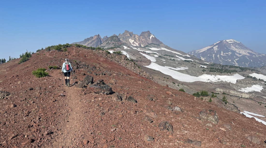
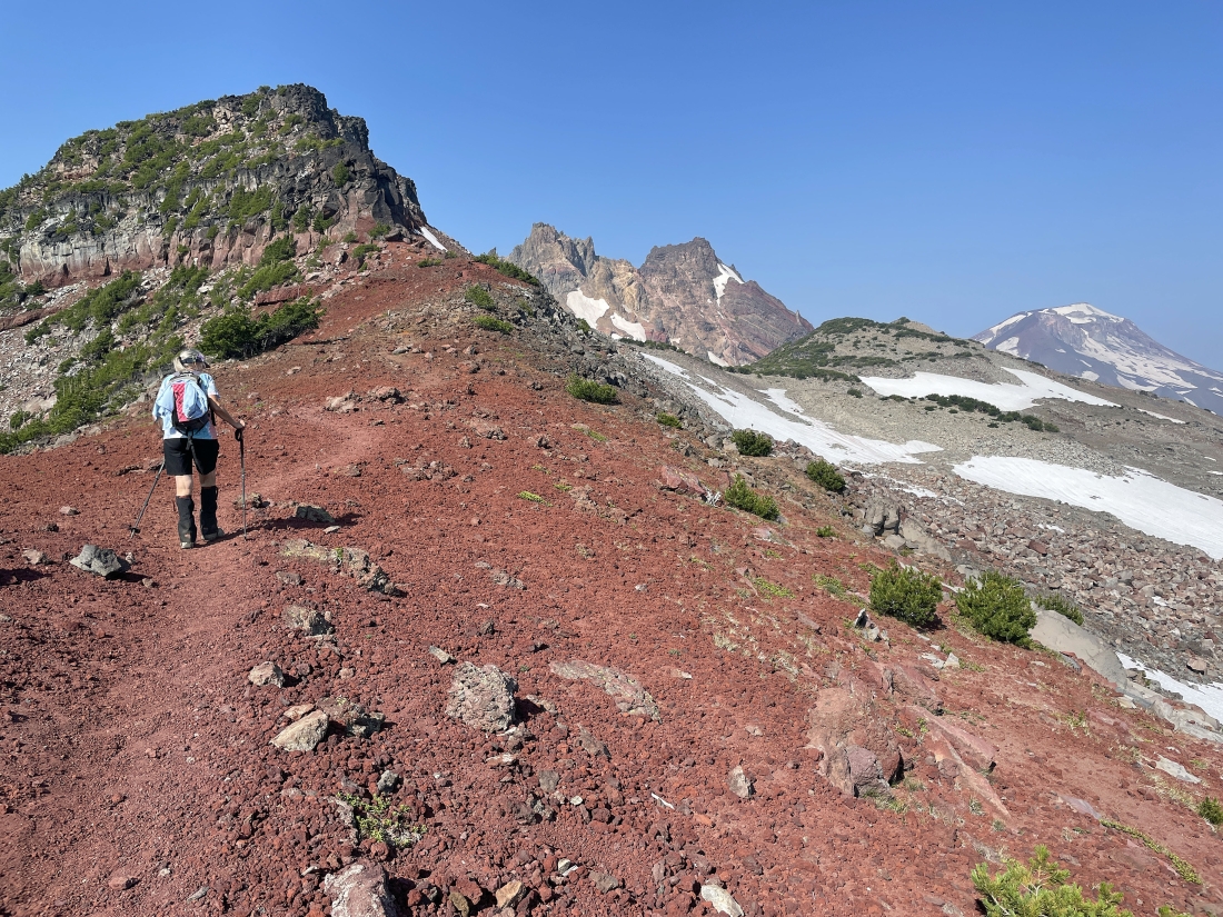
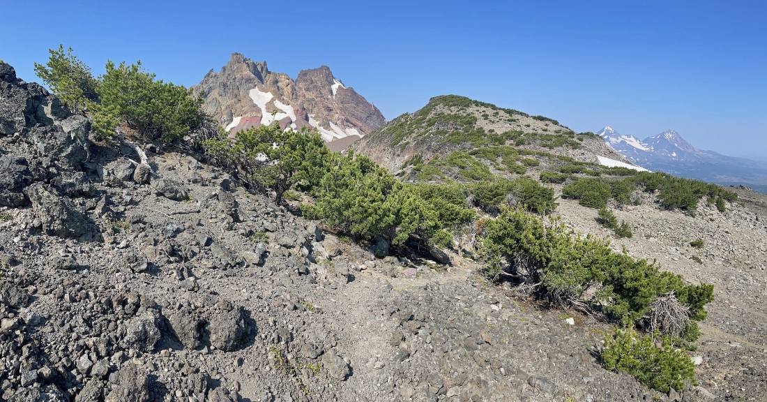
Continuing to hike west on Tam McArthur Rim Trail 4078... with Broken Hand starting to stand out in the left foreground.
|
Continuing to hike west on Tam McArthur Rim Trail 4078... with Broken Hand starting to stand out in the left foreground... with Broken Top in the distance beyond Broken Hand... and South Sister on the far right.
|
Just like the previous photo... but also showing Middle Sister and North Sister on the far right.
|
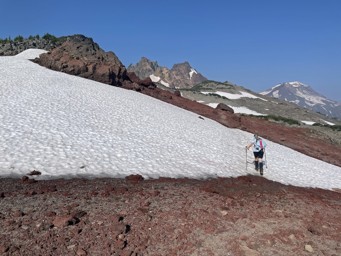
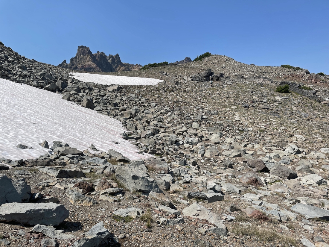
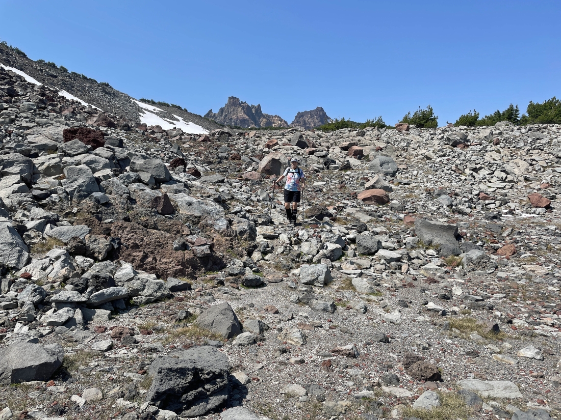
Our first snow field as we head up toward Broken Hand in the left foreground... if you draw a line from Denali Girl's left hand straight up toward the top of the photo, you will see the little brown bump that is Broken Hand West... and that is our destination.
|
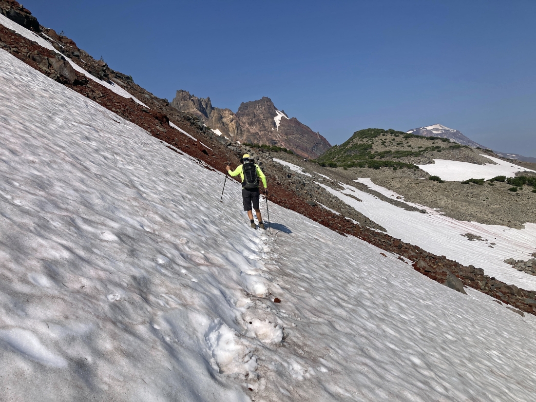
Continuing to head toward Broken Hand in the left foreground... we are getting ready to encounter a steep snow field and it will force us to give up 100 feet of elevation to get around it.
|
We got around the snow field and Denali Girl is coming back up to the main trail where we will continue to head over to Broken Hand in the left foreground.
|
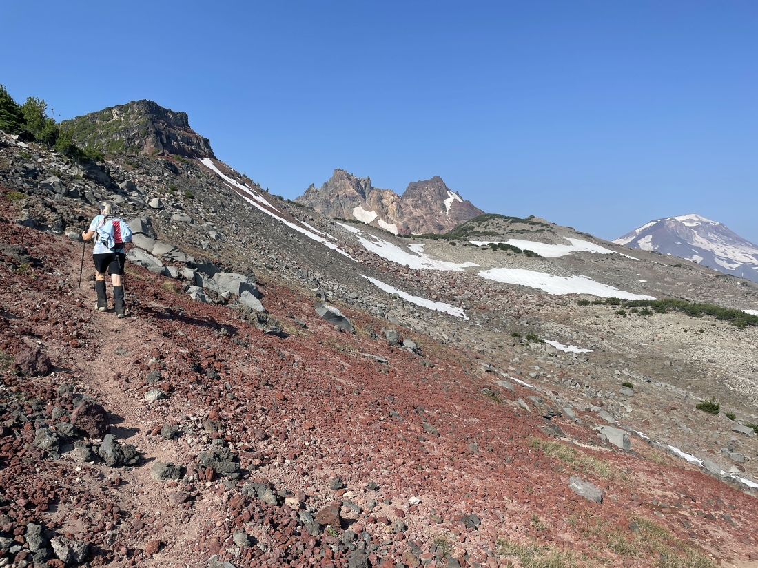
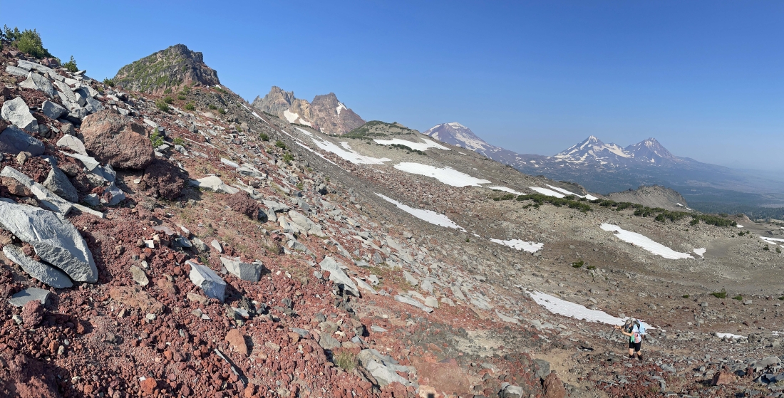
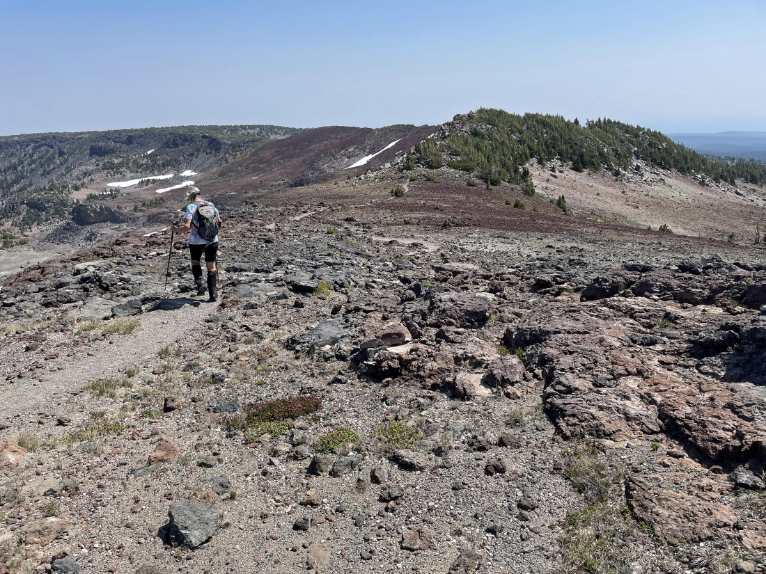
Back on the main trail... and heading toward Broken Hand in the left foreground. Our destination is Broken Hand West... located in the right foreground of the photo.
|
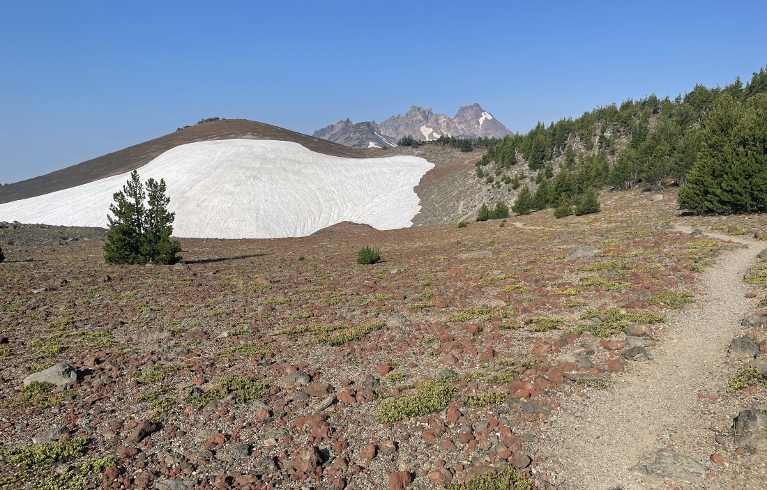
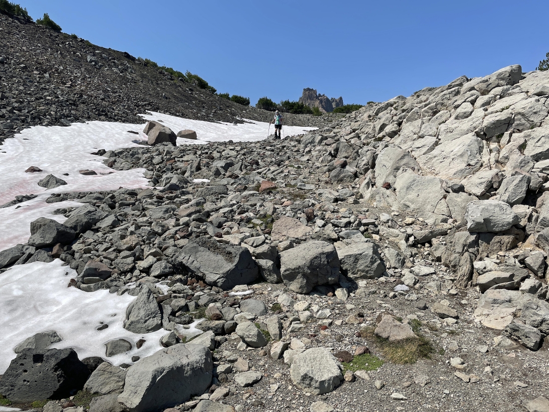
Dealing with our second snow field... located on the north side of Broken Hand.
|
I left the main trail and hiked 20 yards up to the ridge to see if I could see 'No Name' Lake on the east side of Broken Top... but I could only see a very small piece of it.
|
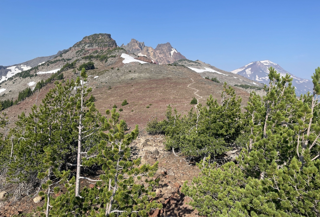
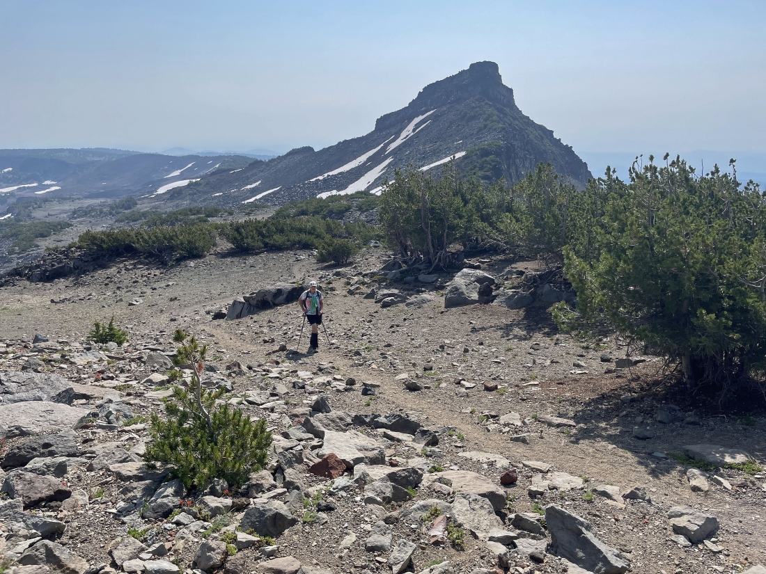
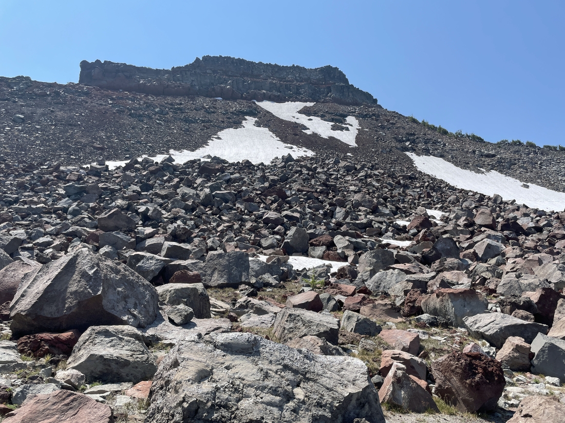
Continuing to hike west on the Tam McArthur Rim Trail... our destination of Broken Hand West is not visible here... actually located on the other side of the bump in the foreground.
|
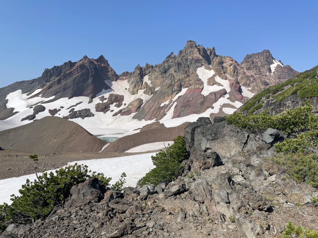
Once again I made a 20 yard off-trail hike up to the ridge... and I did get to see little more of 'No Name' Lake.
|
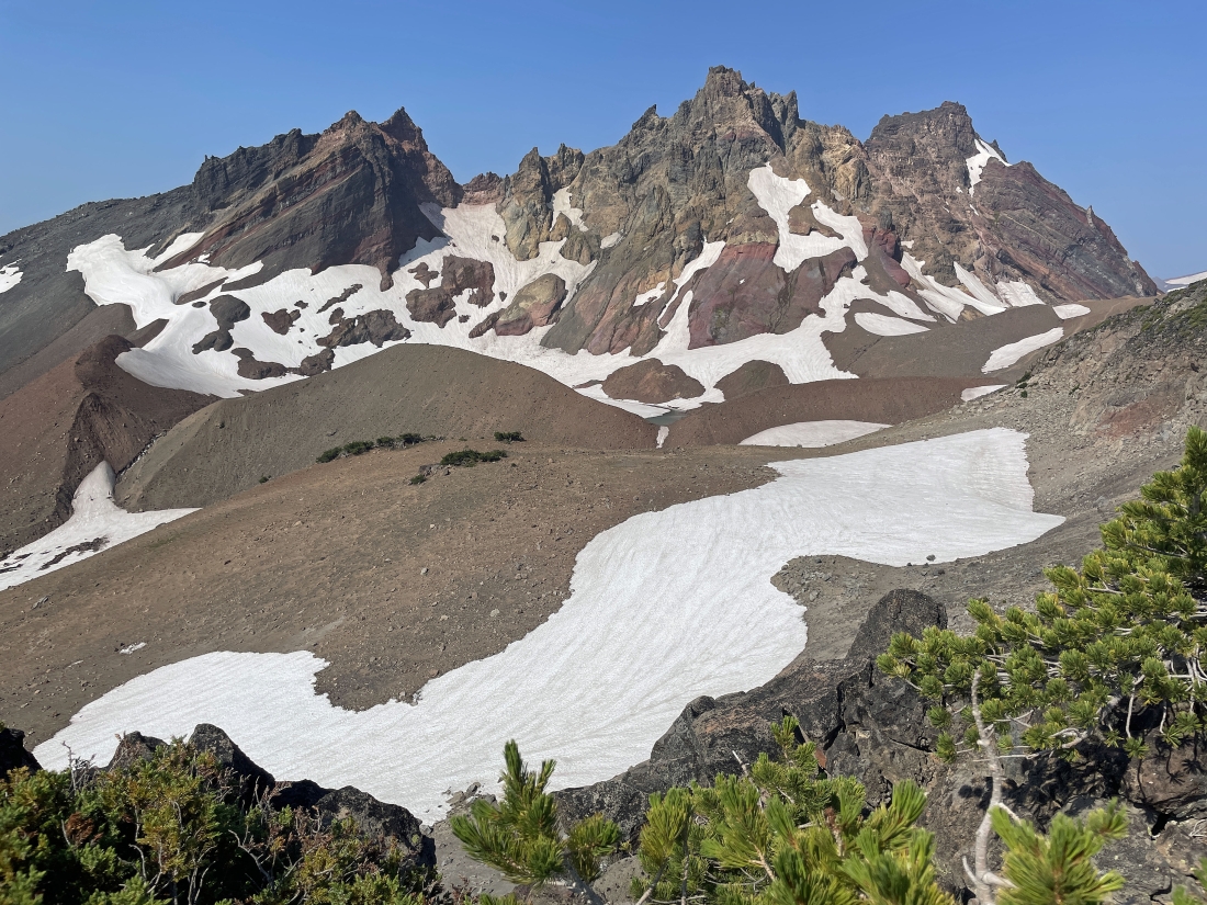
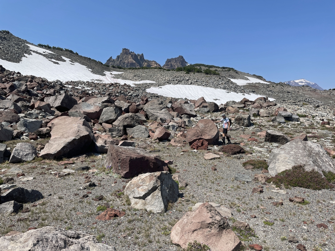
Looking back at Broken Hand as Denali Girl is coming up to join me.
|
Nearing the summit of Broken Hand West... here looking down at most of 'No Name' Lake on the east side of Broken Top.
|
I'm almost on the summit of Broken Hand West in the left foreground.
|
After hiking a total of 5.5 miles I have reached the 8,388 foot summit of Broken Hand West... here watching Denali Girl working her way up to join me.
|
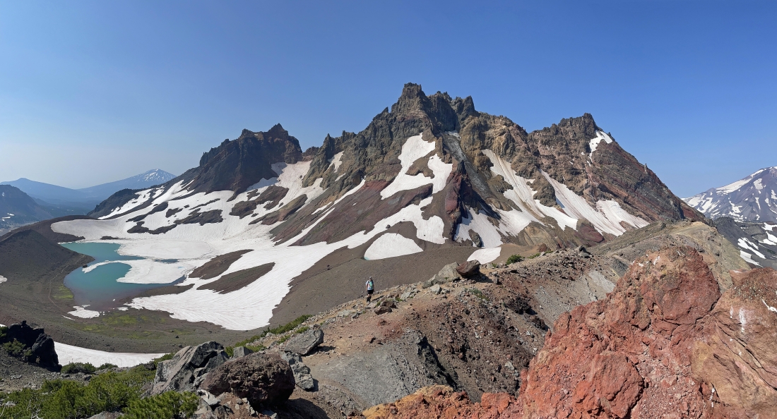
I can see all of 'No Name' Lake from the summit of Broken Hand West.
|
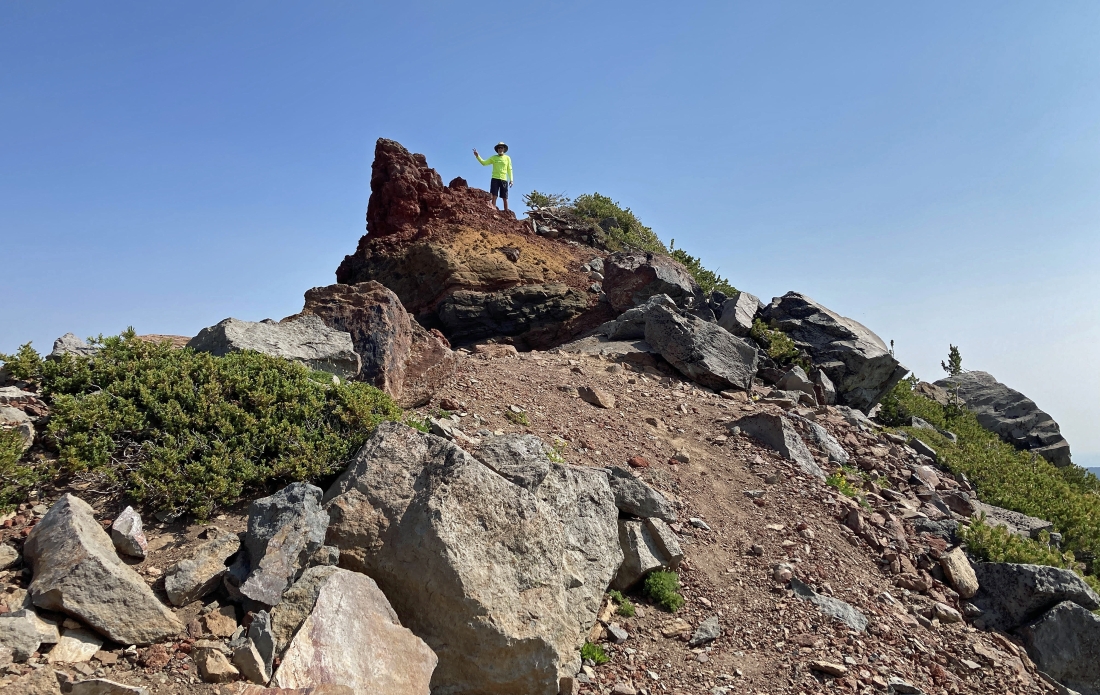
Denali Girl took this photo of me on the summit of Broken Hand West.
|
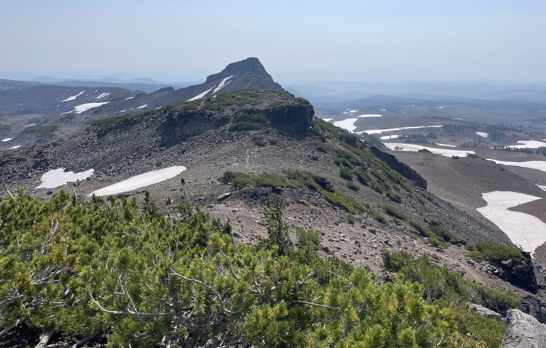
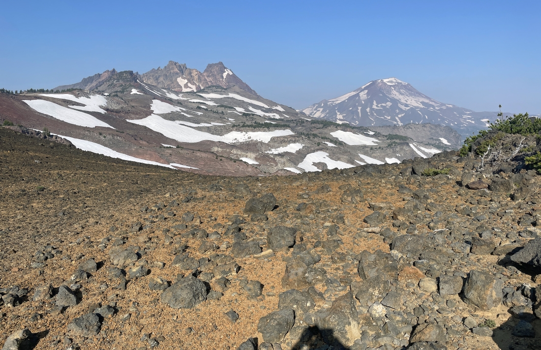
Looking back at Broken Hand from the summit of Broken Hand West.
|
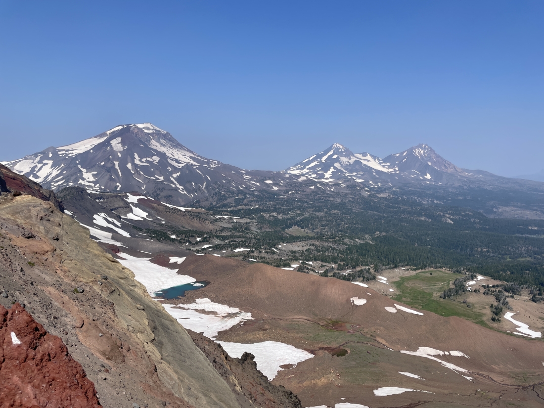
The Three Sisters (South, Middle and North) from the summit of Broken Hand West.
|
Denali Girl on the summit of Broken Hand West... with a pretty nice background.
|
ragman on the summit of Broken Hand West.
|
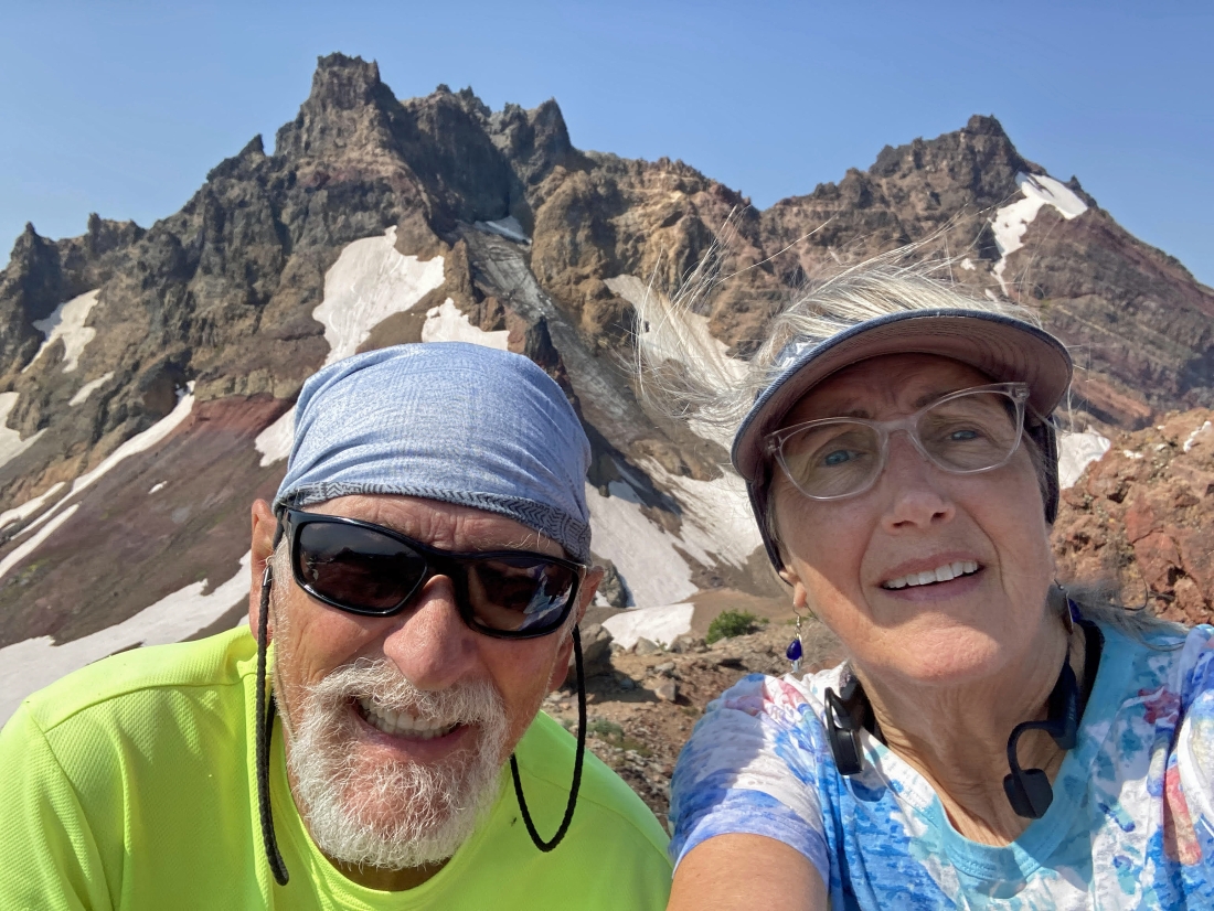
A selfie on the summit of Broken Hand West... and there was a very nice breeze on most of the hike.
|
Time to leave the summit of Broken Hand West... but going back down we decided to totally avoid the snow fields on the north side of Broken Hand by hiking 100 to 150 feet lower than we did on the way in.
|
Hiking below the snow fields on the north side of Broken Hand.
|
Hiking below the snow fields on the north side of Broken Hand.
|
Hiking below the snow fields on the north side of Broken Hand.
|
Hiking below the snow fields on the north side of Broken Hand.
|
We have finished hiking underneath the north side of Broken Hand... now coming up from below to rejoin the main trail.
|
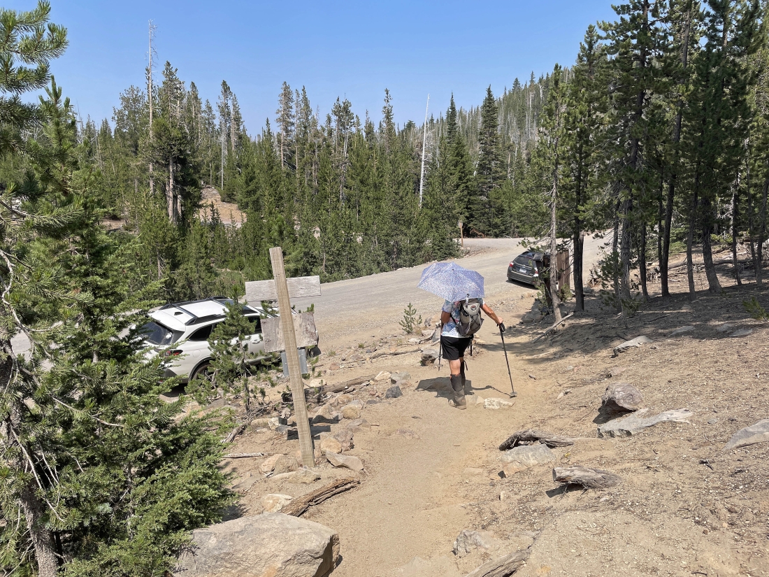
Tracing our steps back to the car.
|
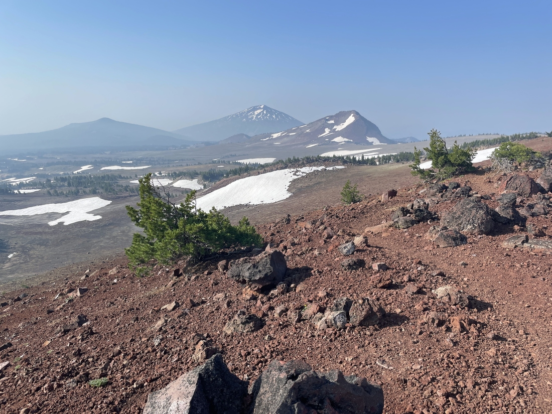
Looking back at Broken Top, South Sister, Middle Sister and North Sister as we continue to trace our steps back to the car.
|
Tracing our steps back to the car.
|
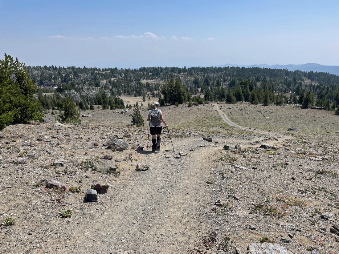
Tracing our steps back to the car.
|
Nice to find a little shade as we get within 1.5 miles of reaching the car.
|
Looking down at Three Creek Lake... with Point 7732 on the left horizon... and North Sister on the middle horizon.
|
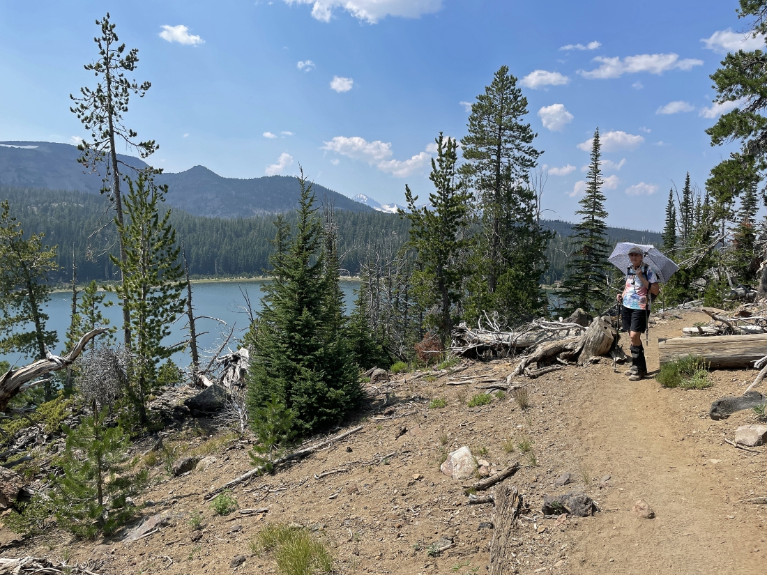
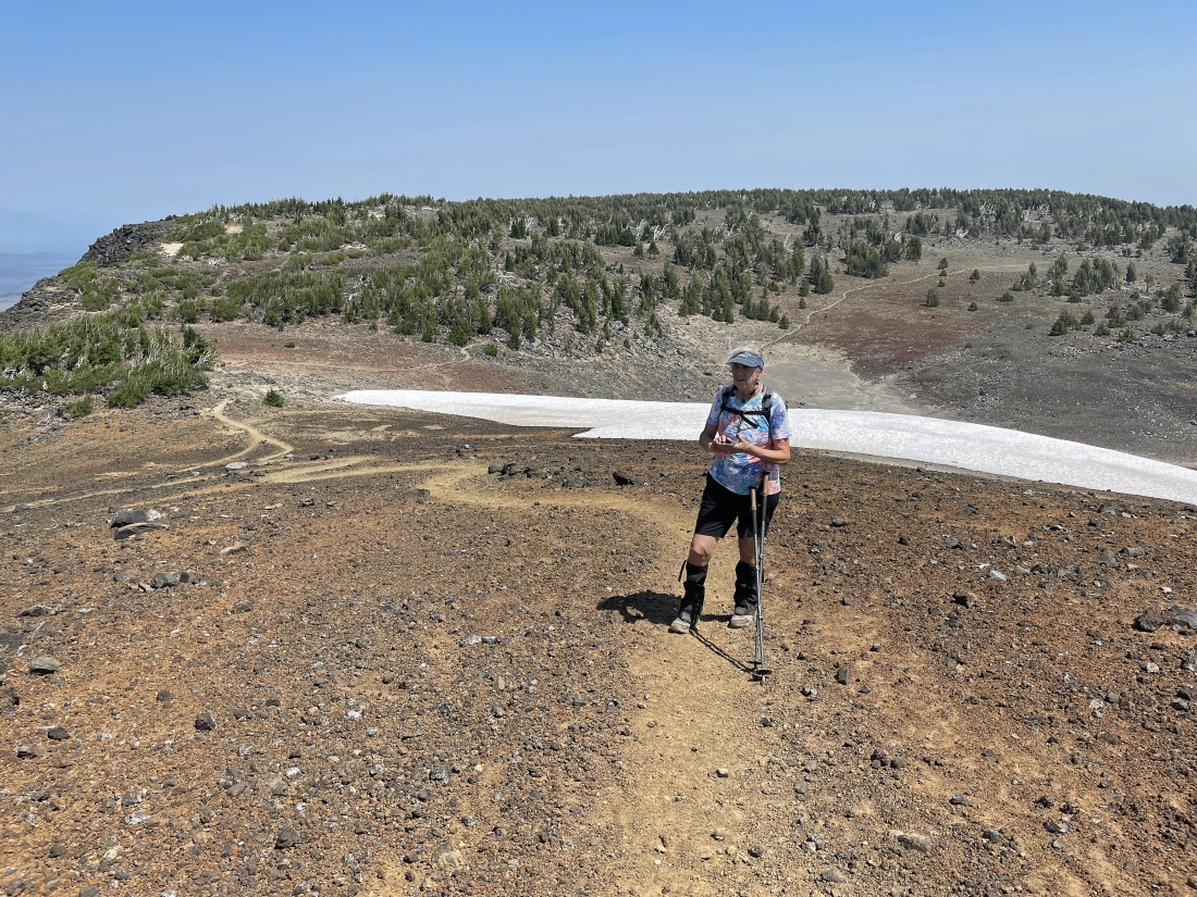
Denali Girl decided to break out her umbrella to help fight the heat.
|
The hike was a total of 11 miles, gaining 2274 feet of elevation.
|
