Steens Mountain - 8.26.2024
|
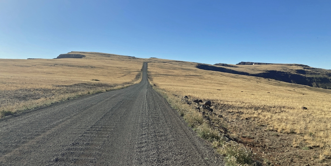
After driving 22.4 miles from Frenchglen, Oregon, on the Steens Mountain Loop Road we turned left on the Kiger Gorge View road and drove a quarter mile to a parking lot that gave us this view of the Kiger Gorge... and out there on the horizon in the middle of the photo is the Steens Mountain - North Peak... Denali Girl took this photo and you can see me (the little yellow speck) on the far right.
|
Pretty much the same as the previous photo... but I took this one... and Denali Girl is the little speck on the far left... we decided to head back to the car and drive the road a short distance before hiking out to the little plateau on the extreme far right in this photo.
|
We parked next to Steens Mountain Loop Road less than a half mile from the Kiger Gorge Overlook... and we will take a short hike out to a plateau.
|
On a plateau less than a half-mile from where we parked on the Steens Mountain Loop Road... here looking down Mosquito Creek that flows down to Miranda Flat when there is water in it... Steens Mountain - North Peak is on the far left... and Steens Mountain - Central Peak is barely visible on the far right horizon.
|
Back in our car and we will continue driving the Steens Mountain Loop Road out to the Steens Mountain - Central Peak on the far right. This peak is also referred to as 'East Rim'.
|
|
We have reached Steens Mountain - Central Peak (aka 'East Rim') after driving a quarter-mile off of the Steens Mountain Loop Road. The North Peak is out there on the extreme far left... and the true summit of Steens Mountain is on the extreme far right... and we are looking down Cottonwood Creek as it runs down to the valley... with Alvord Desert the large light brown area way out there.
|
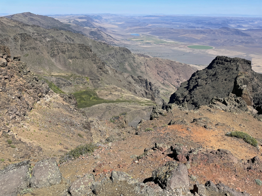
Still standing on the Central Peak... here looking down Willow Creek... with the North Peak on the far left... and that is Mann Lake down in the valley... and an obvious green circular farm also in the valley.
|
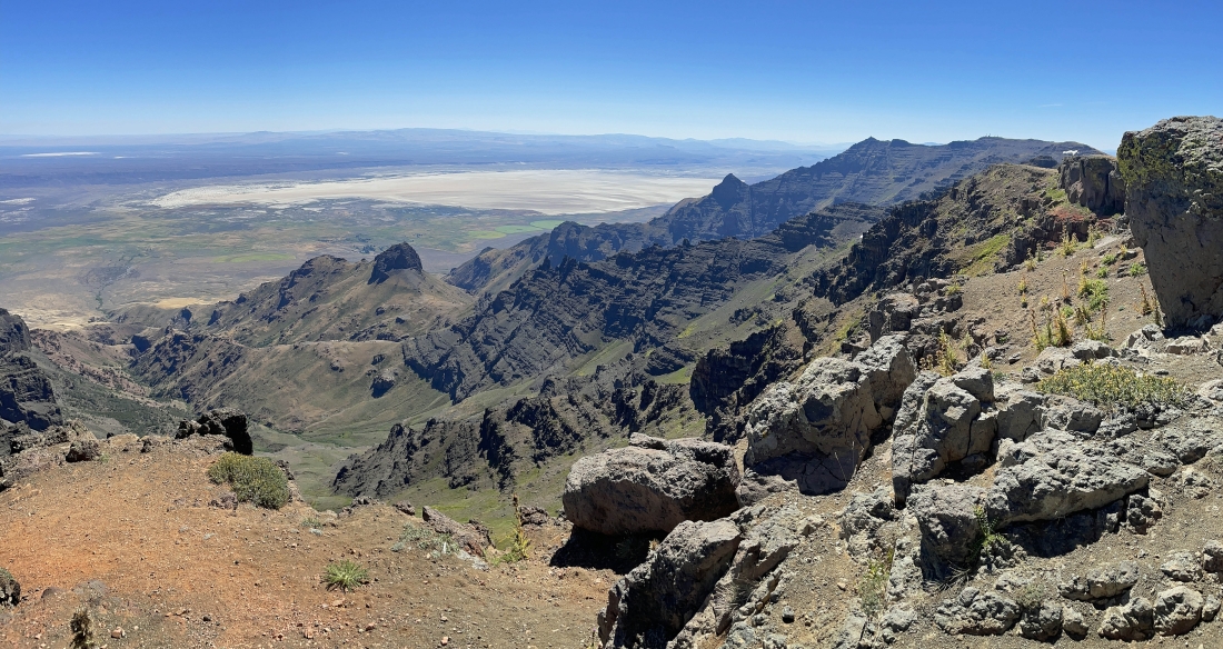
Still on the Central Peak looking over to the true Steens Mountain summit on the far right horizon... and looking down Cottonwood Creek as it runs down and out to the Alvord Desert.
|
We have left the Central Peak and are driving past the Big Indian Gorge on our way out to the parking lot for the true summit of Steens Mountain.
|
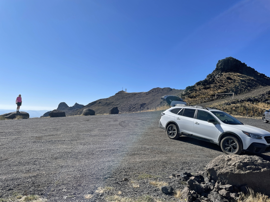
After driving the Steens Mountain Loop Road for 27.2 miles we have reached the end of the road... and are parking at 9,540 feet... and we will be heading out to the radio tower.
|
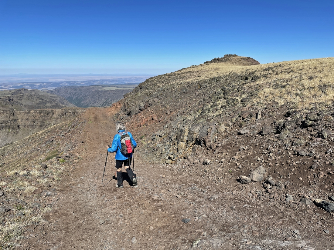
Hiking up the road after parking... with Big Indian Gorge in the distance behind Denali Girl.
|
Heading for the true summit of Steens Mountain.
|
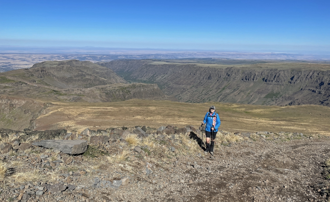
Looking down on Wildhorse Lake as we continuing hiking on the road.
|
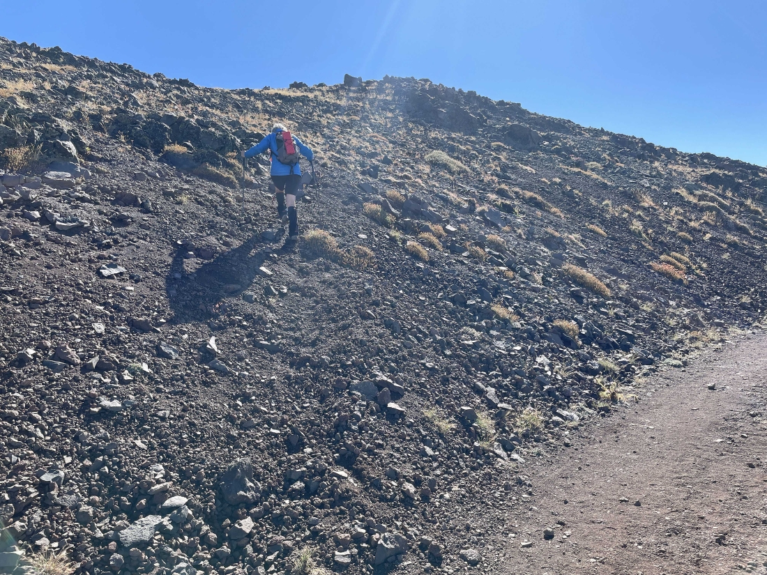
We decided to leave the road and head up to a better view.
|
Denali Girl is coming up to join me... with the Central Peak (aka 'East Rim') out there in the right-center of the photo.
|
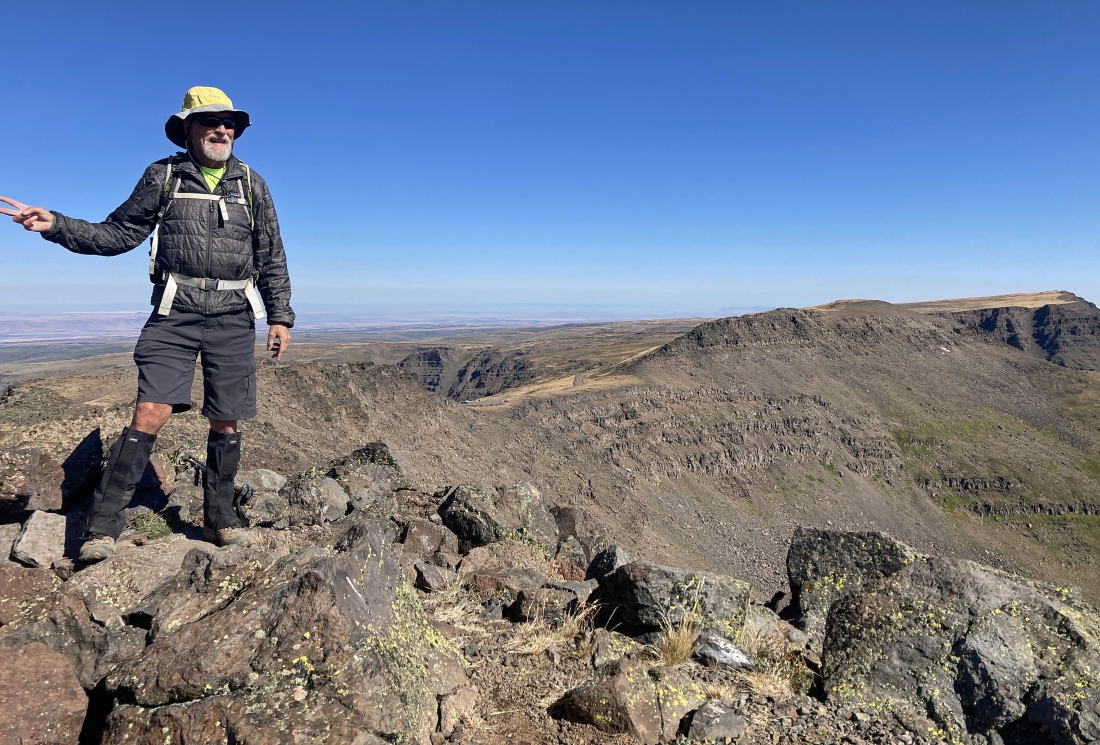
I was there also... but this is not the true summit just yet.
|
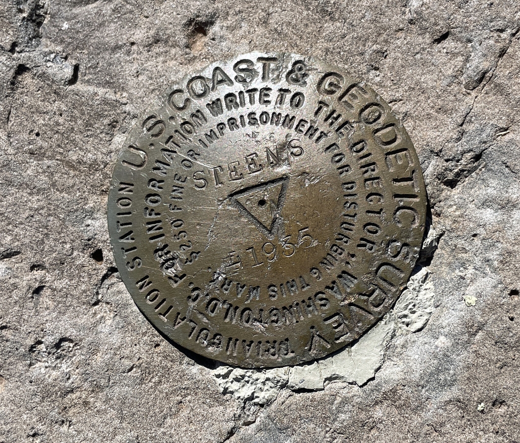
Put here in 1935... but it isn't the true summit.
|
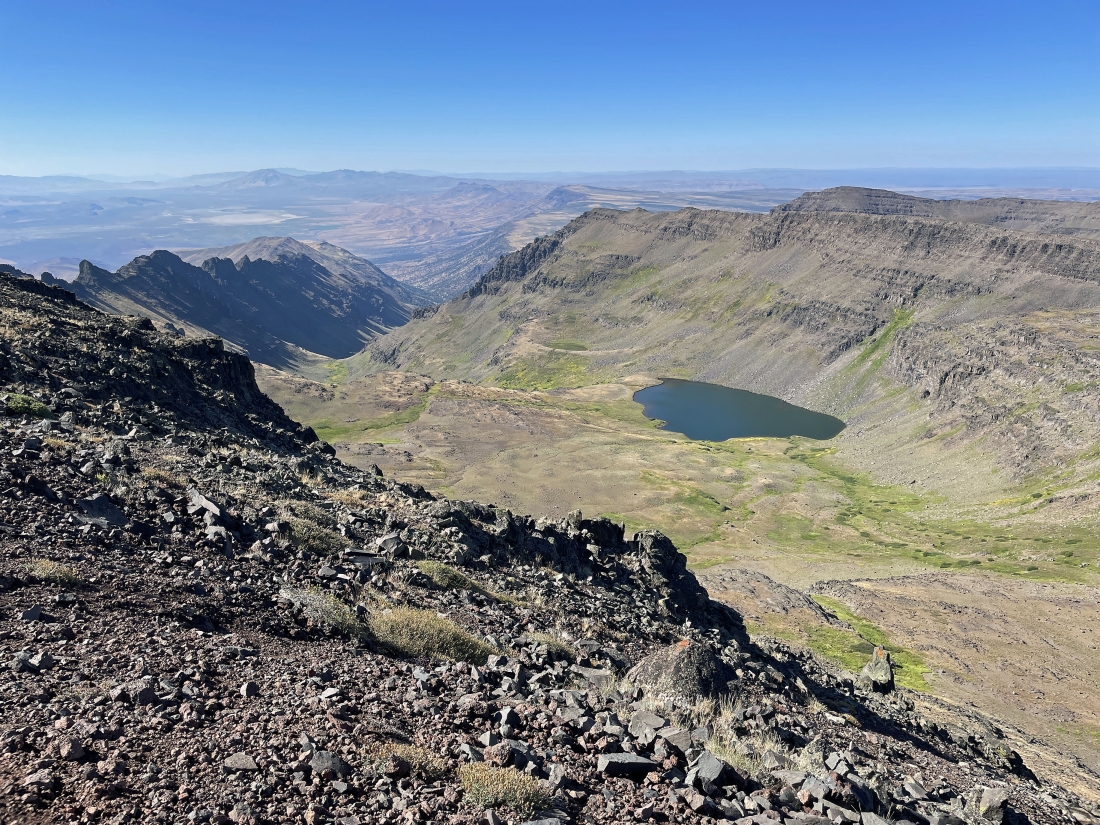
This pano was taken at the marker location in the previous photo... and we will continue to hike out to the summit where the radio tower is located... as we look down on Wildhorse Lake and Wildhorse Canyon below.
|
Looking back at Denali Girl standing by the marker... with the Central Peak on the far right.
|
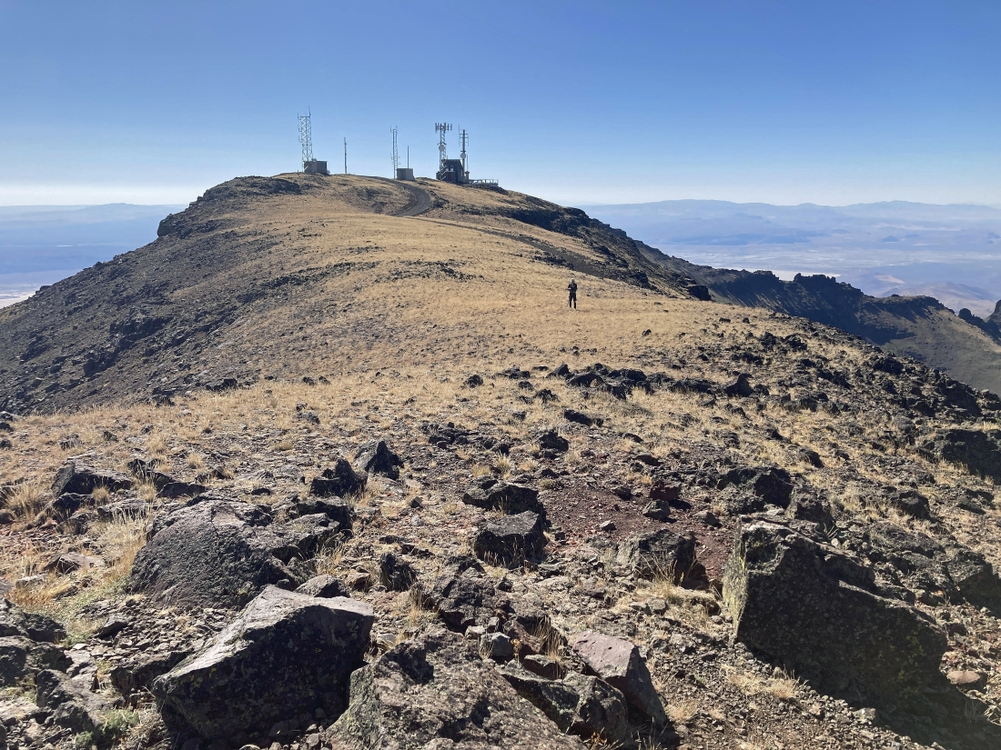
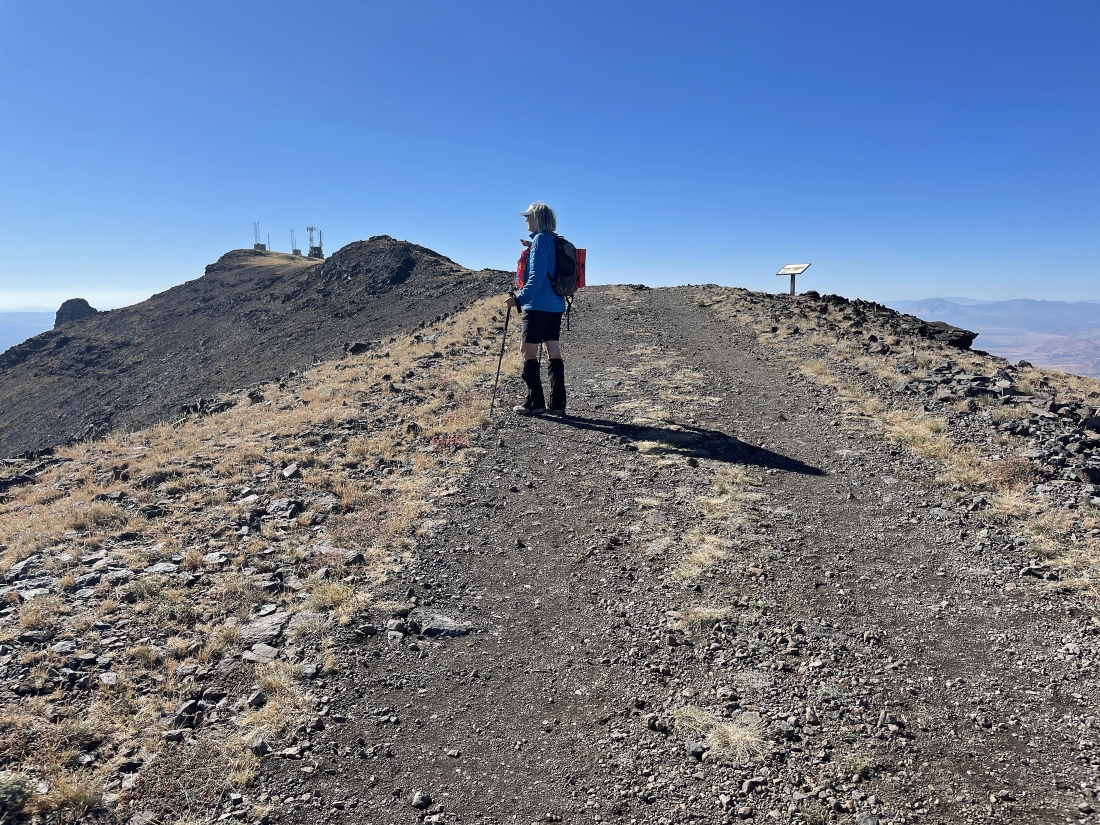
Denali Girl took this photo of me heading for the summit of Steens Mountain.
|
|
I have reached the first building on the summit area... here looking down Big Alvord Creek that feeds into Alvord Desert.
|
I took this pano from the Steens Mountain summit (9,733 feet).
|
A pano from the Steens Mountain summit... here looking down Wildhorse Canyon.
|
Taken from the Steens Mountain summit area... you can see each end of the Alvord Desert beyond the ridge in the foreground.
|
Hiking back down the road to our car... the total summit hike was 1.1 miles, gaining 236 feet of elevation. We probably did another mile and a half of exploring in the Kiger Gorge Overlook area and the Central Peak area.
|
