Broken Top (South Peak) - 9.23.2024
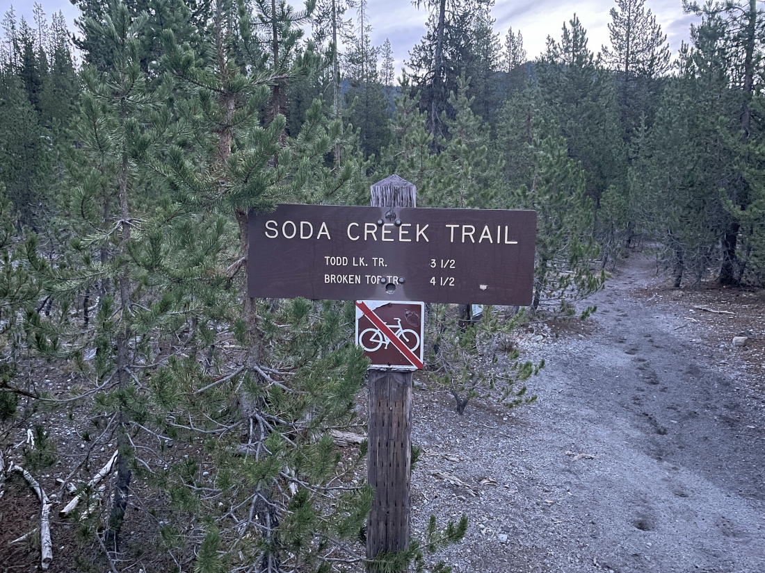
I started hiking at the trailhead (5440 feet) for Soda Creek Trail #11... the parking lot is shared with the trailhead for the very popular Green Lakes Trail #17... on the north side of Cascade Lakes Hwy... across the highway from Sparks Lake.
|
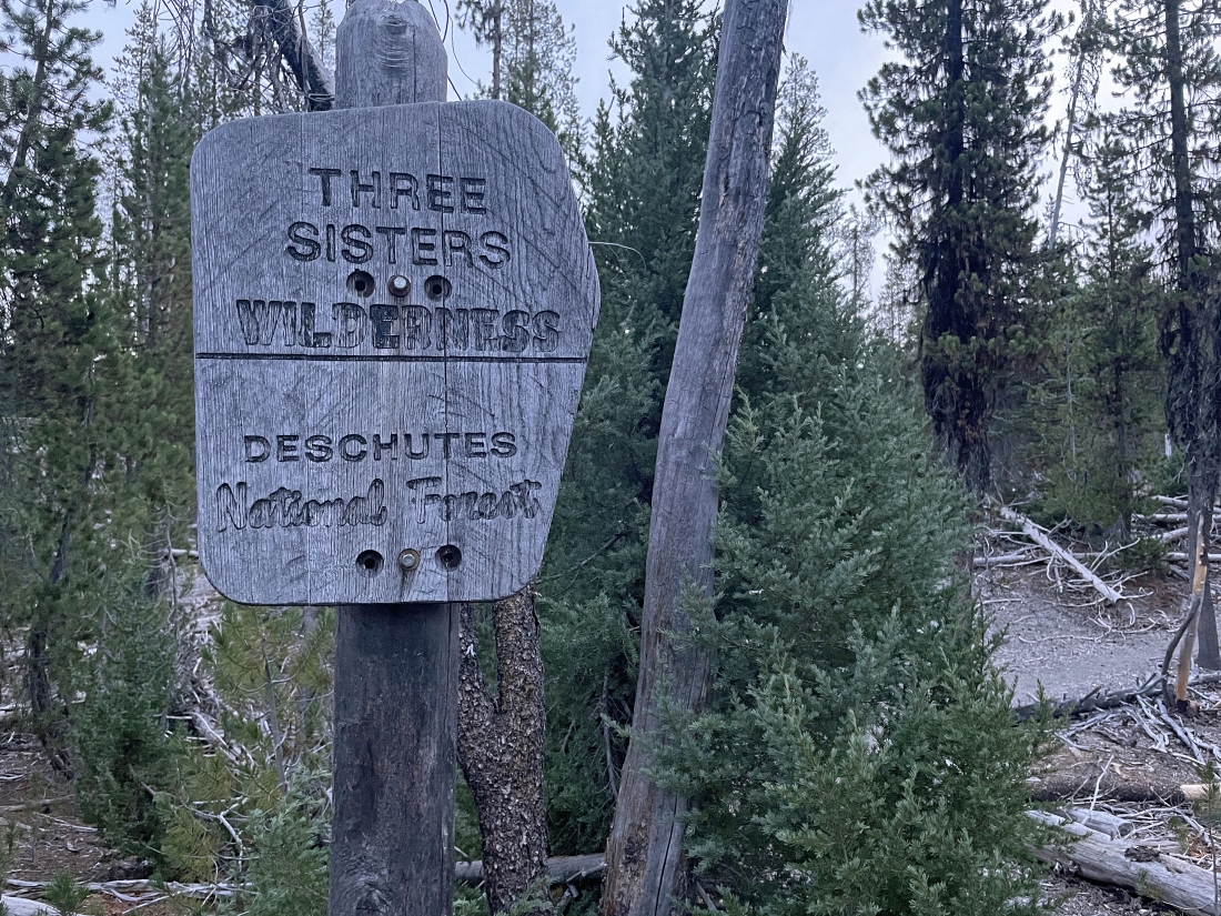
After hiking a little less than a quarter mile I am entering Three Sisters Wilderness.
|
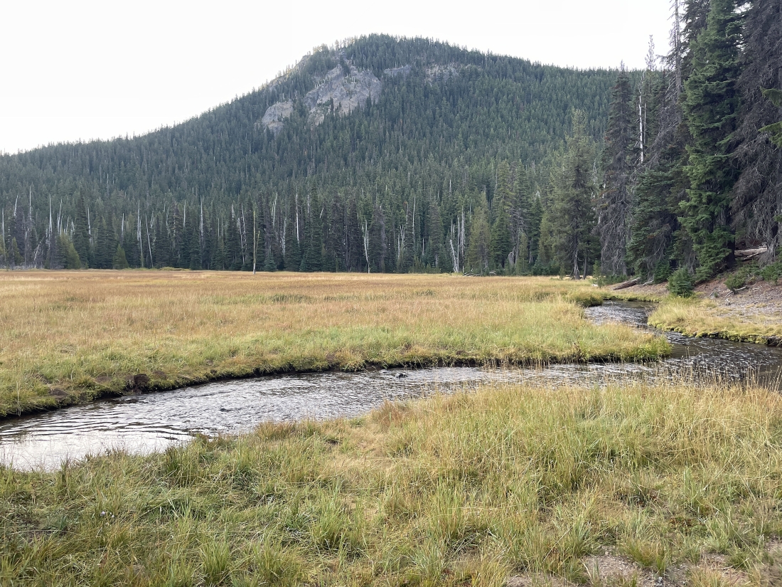
After hiking a total of 1.5 miles on the Soda Creek Trail I have gained less than 200 feet of elevation and reached a marshy area and one of the streams that feeds Soda Creek... and it is time to leave the Soda Creek Trail and head cross country to the north.
|
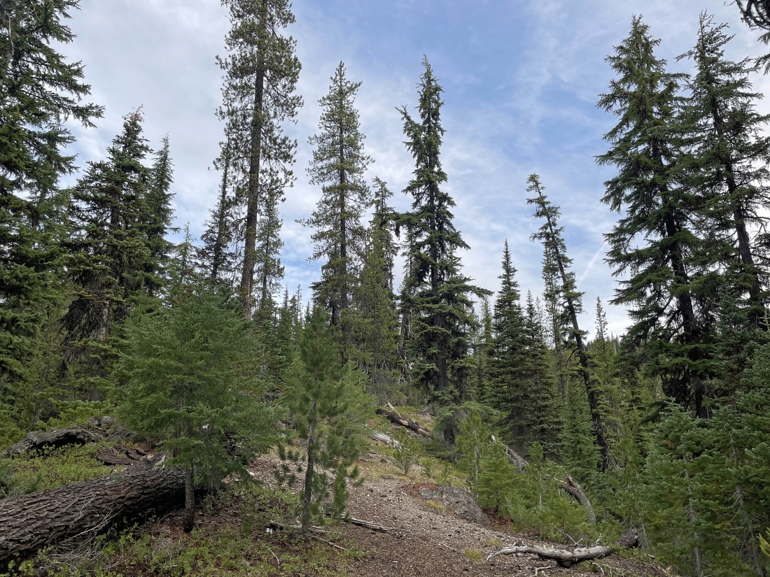
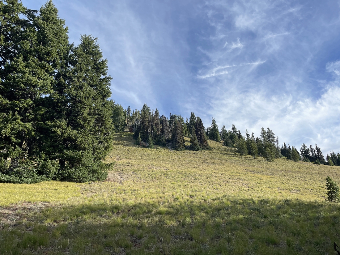
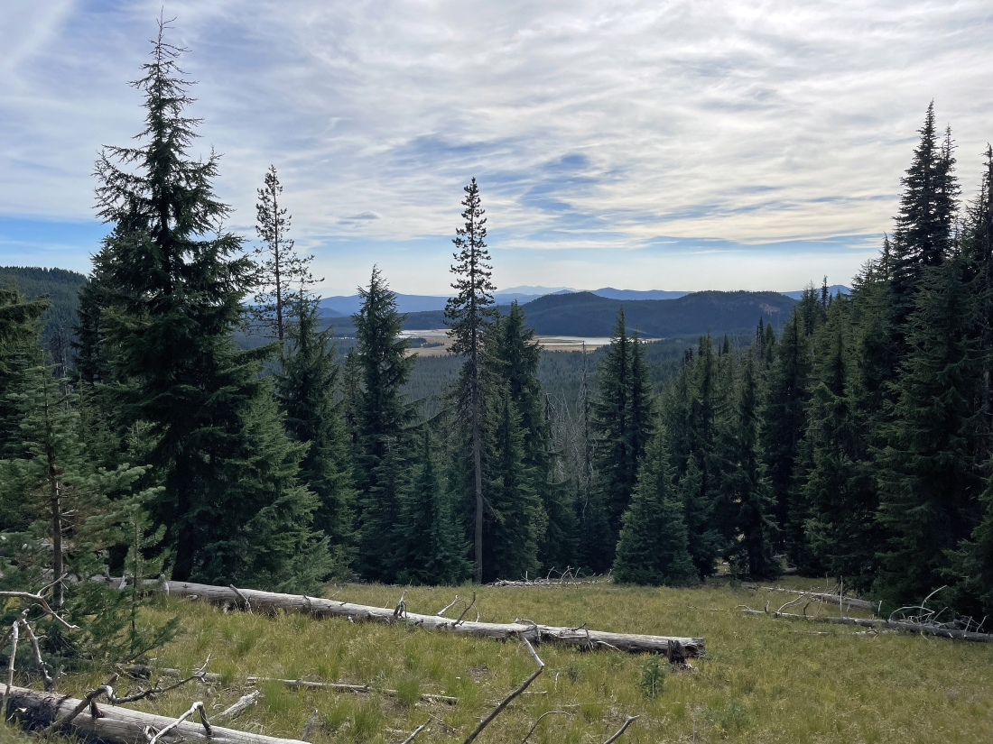
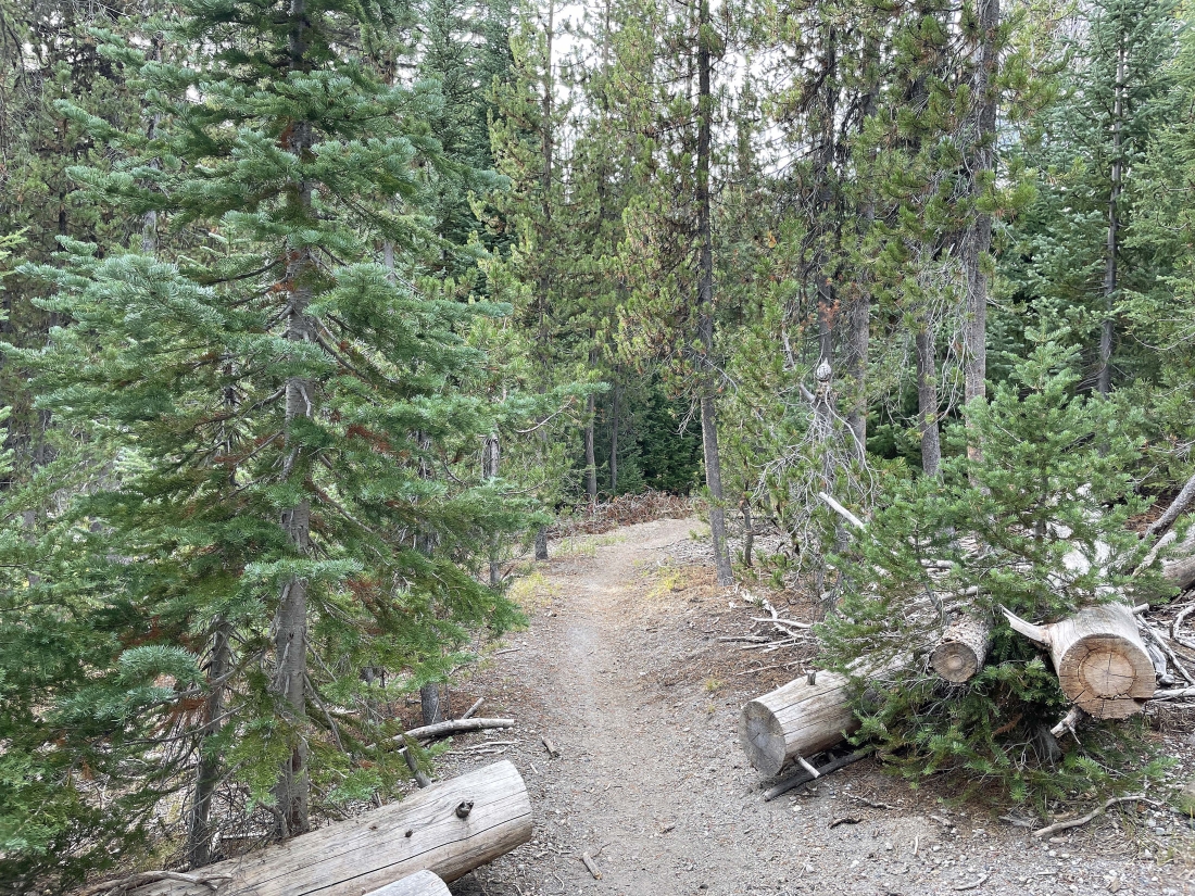
Most of the next couple miles will be in terrain like this... in the forest, but not dense forest.
|
After hiking cross country for approximately 2 miles I have come out of the more treed area and still hiking cross country to the north.
|
|
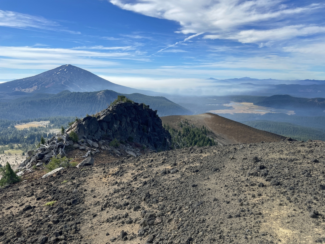
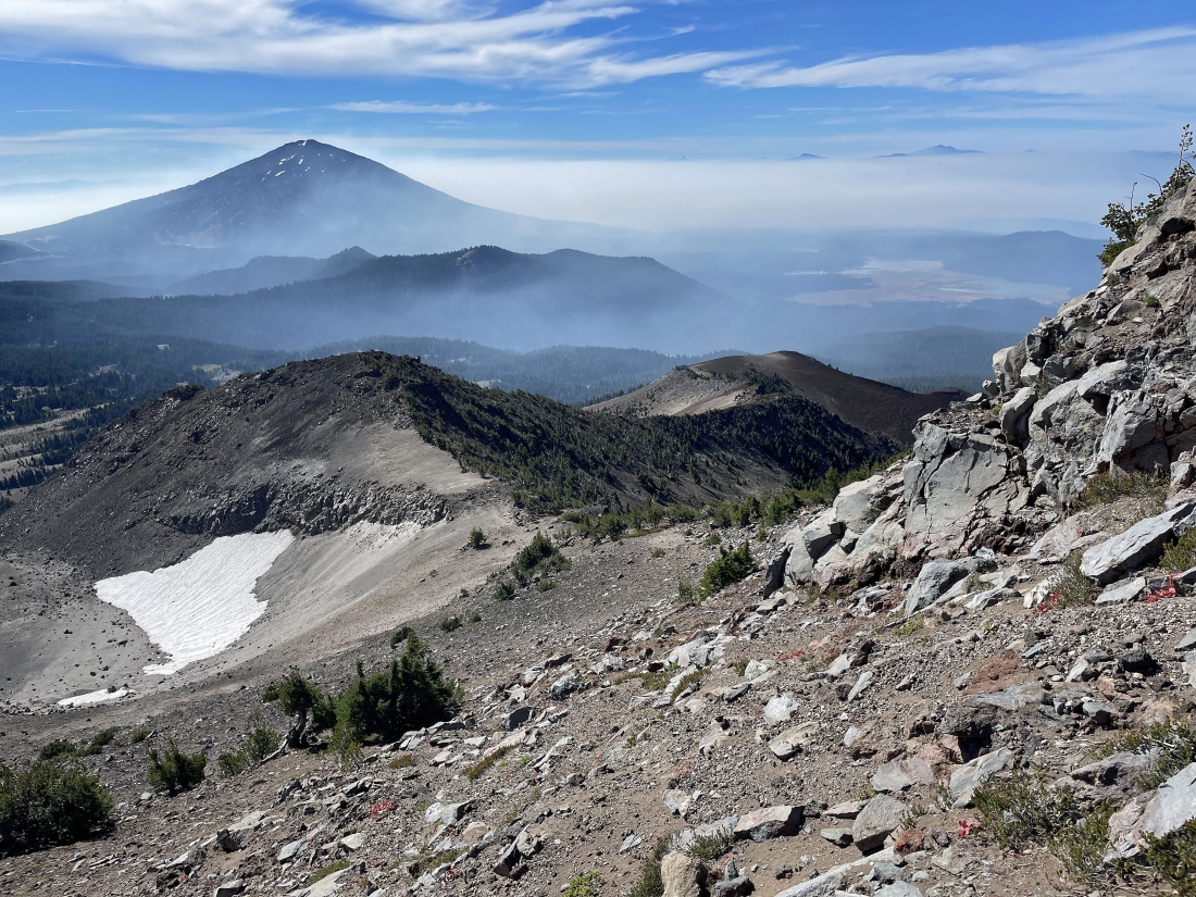
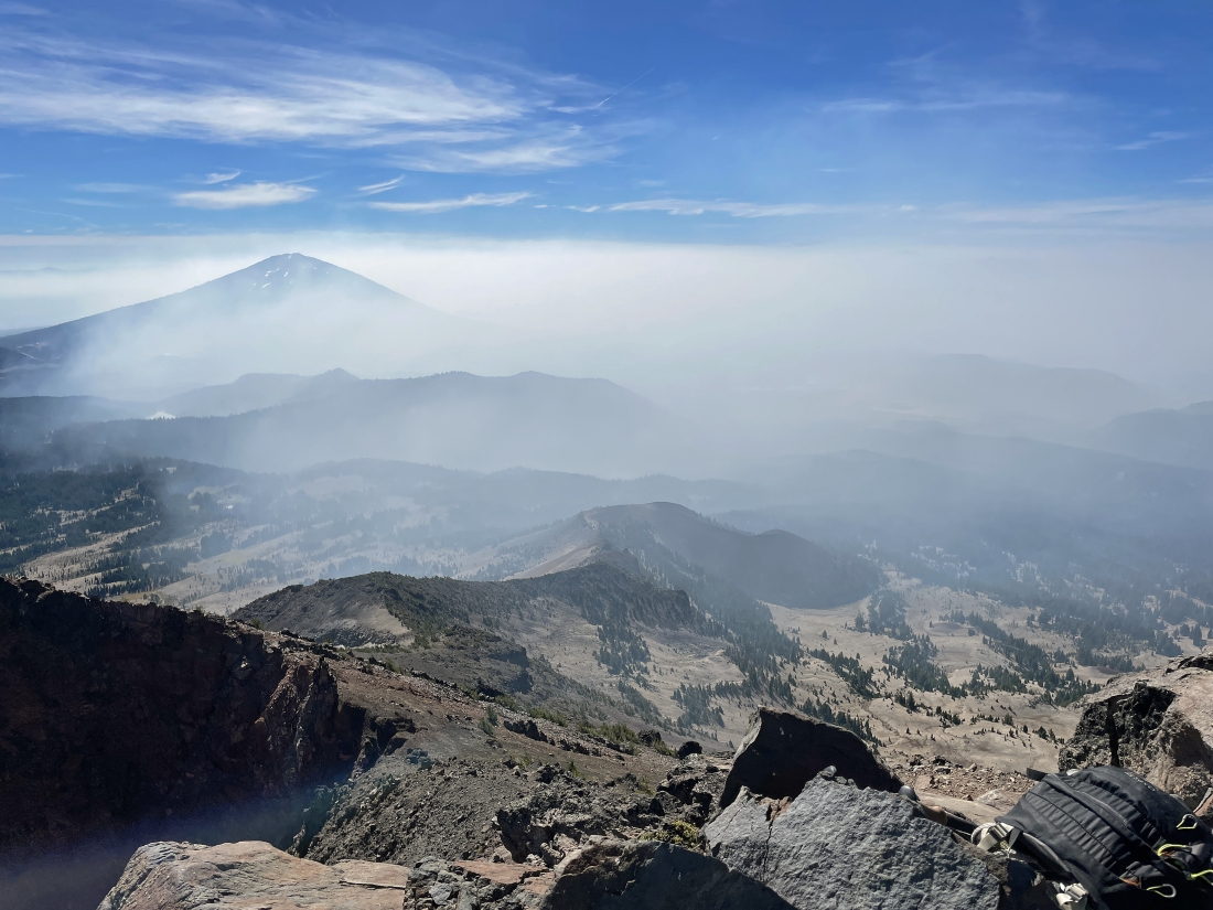
After hiking a total of 3.4 miles and gaining 1,260 feet of elevation I am stepping across Broken Top Trail #10 and continuing to hike cross-country to the north... here looking south to Mount Bachelor... and it looks like smoke is starting to arrive at Sparks Lake.
|
Continuing to hike cross-country to the north... nearing the top of the Cayuse Crater in the foreground... with South Sister on the far left horizon.
|
After hiking a total of 3.8 miles I have reached the top of Cayuse Crater (7,354 feet)... and my first good look at Broken Top... and the Three Sisters on the left horizon.
|
Continuing to hike north toward Point 7810 in the foreground... with Point 8101 in the distance to the right... and the South Peak of Broken Top at the top of the photo. Ball Butte is in the distance on the far right... with the Three Sisters on the left horizon.
|
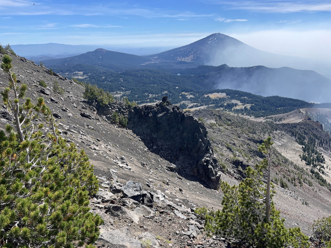
Continuing to gain elevation... looking back at Point 7810 in the foreground... and further down to the Cayuse Crater... and the smoke is starting to surround Mount Bachelor and cover Sparks Lake.
|
|
I'm getting closer to Point 8101... here looking back to the south... left-to-right... Ball Butte, Tumalo Mountain, Mount Bachelor and Sparks Lake... with Point 7810 and Cayuse Crater in the right foreground.
|
Reeling in Point 8101 in the right foreground... with the summit of Broken Top's South Peak the highest of the two bumps at the top of the photo.
|
After hiking a total of 4.6 miles and gaining 2,600 feet of elevation I have reached Point 8101... with North Sister on the extreme far left horizon... and now the really steep part of the hike begins... on loose rock and gravel.
|
Continuing to gain elevation... looking back at Point 8101 in the foreground... and Point 7810 and Cayuse Crater along the ridge to the right of Point 8101... with smoke starting to hide Mount Bachelor and Sparks Lake.
|
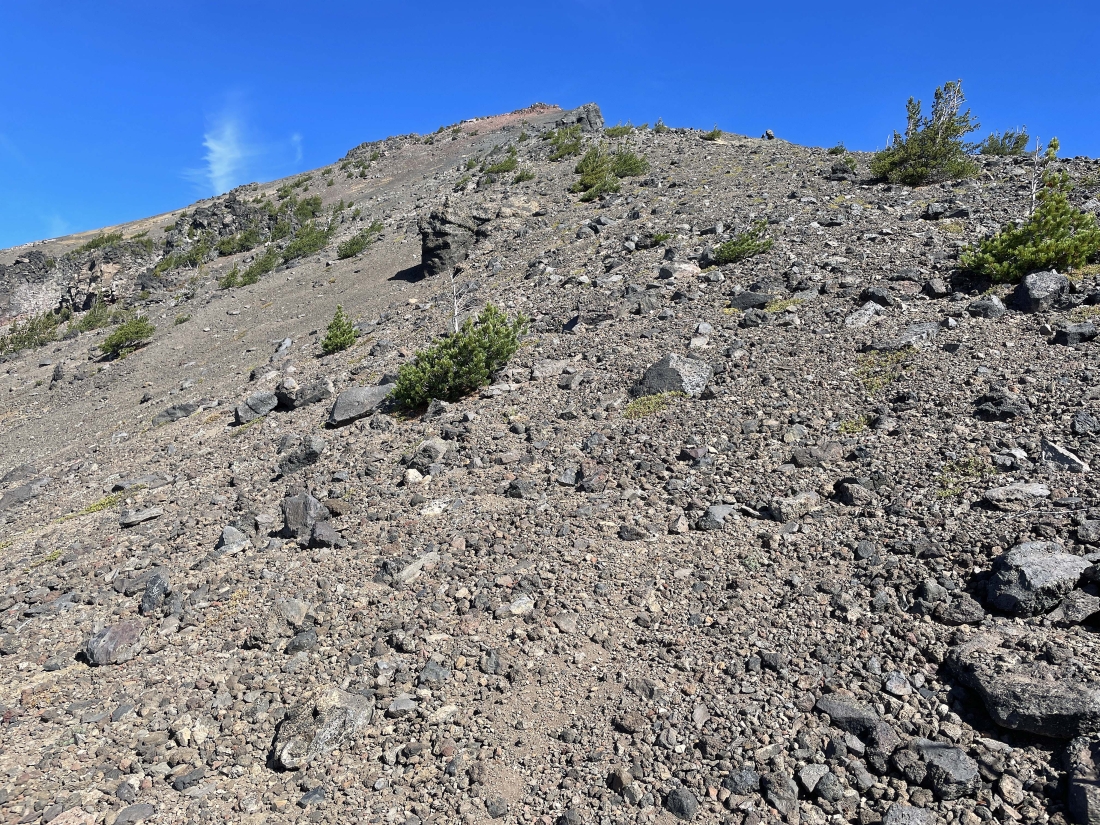
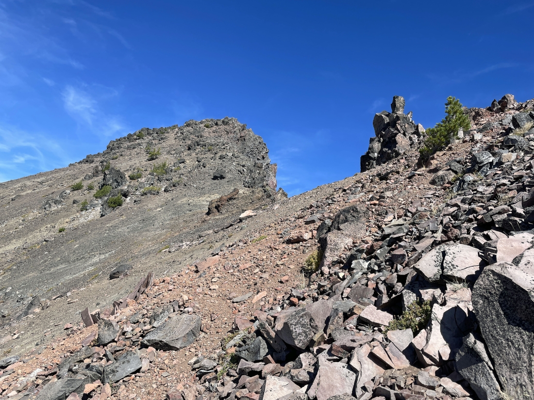
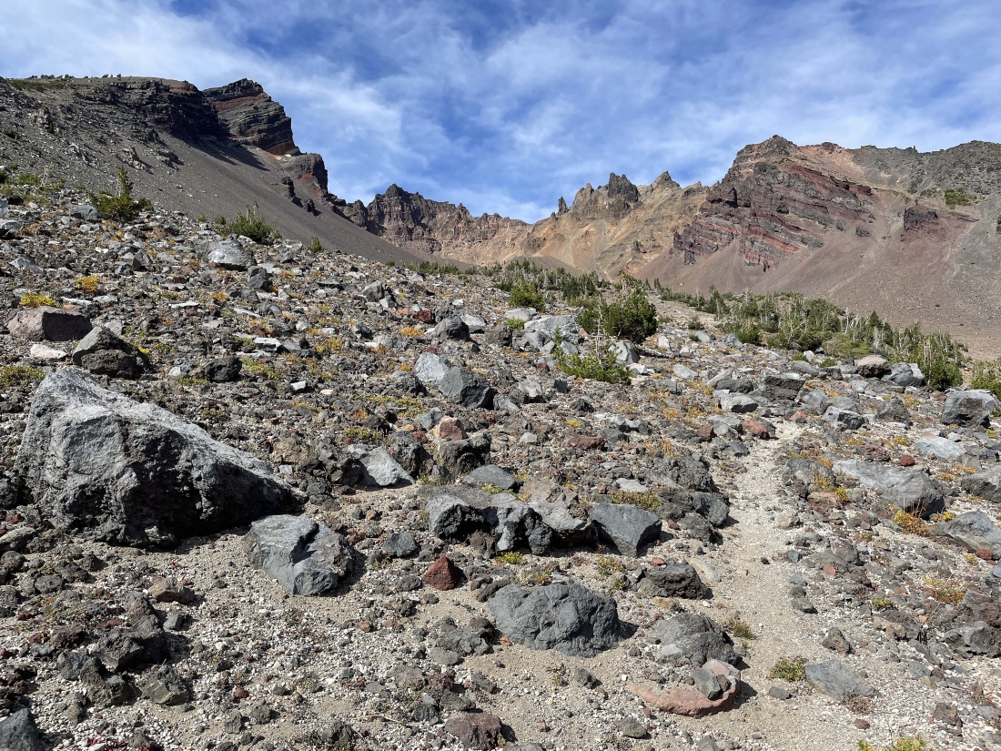
Continuing to head for Broken Top's South Peak on extremely loose rocks and gravel.
|
|
Continuing to head for Broken Top's South Peak on extremely loose rocks and gravel.
|
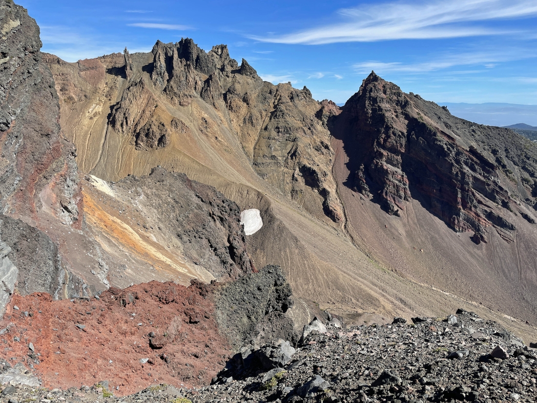
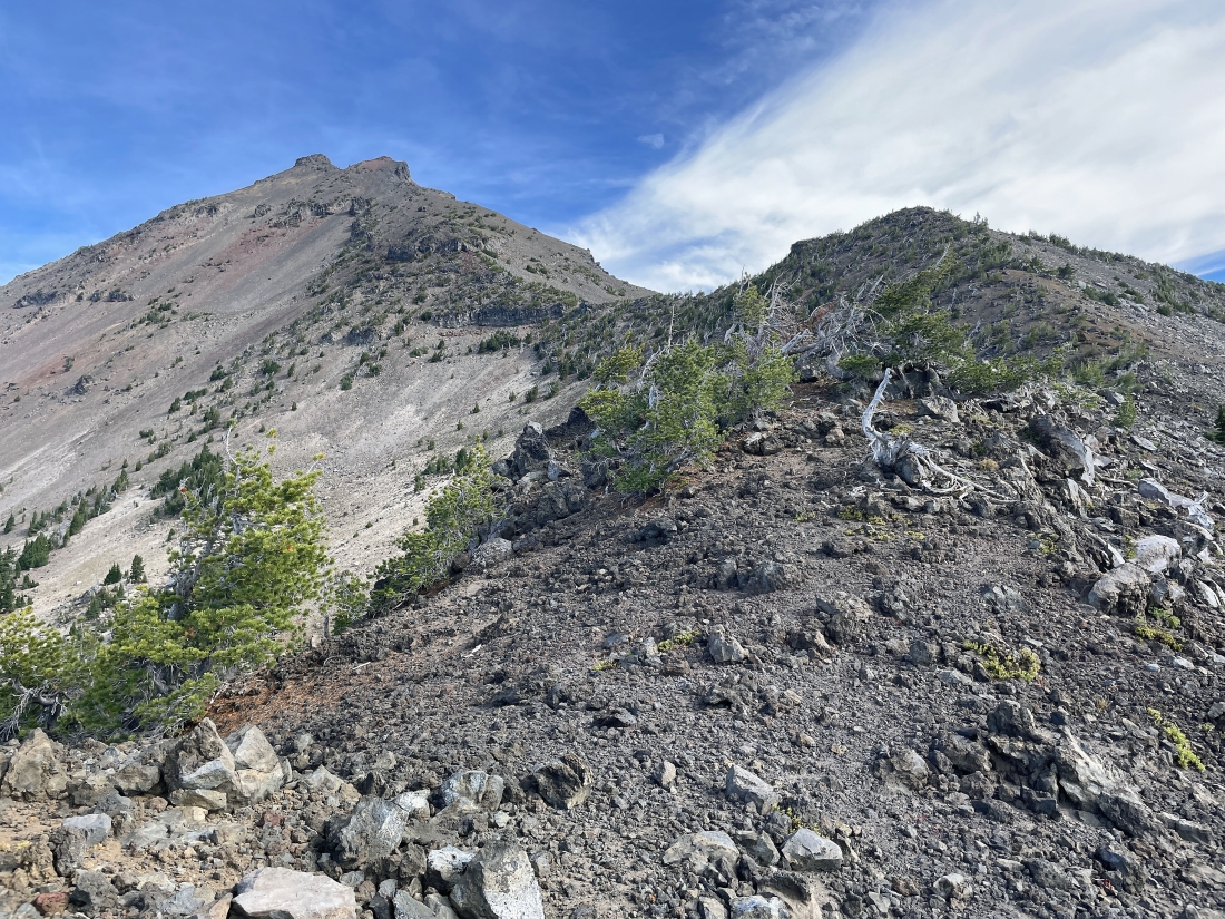
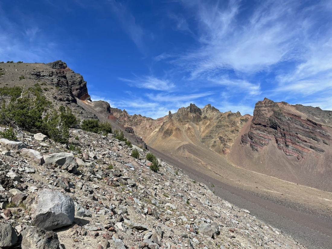
I'm gaining elevation on the west ridge-line of Broken Top... here looking across the crater to the east ridge-line of Broken Top... and the famous 'No Name' Lake is on the other side of the east ridge-line.
|
Looking back to the south as I continue to gain elevation... and the smoke seems like it wants to touch me.
|
Continuing to gain elevation... and every step on this path is loose rocks and gravel... with South Sister on the far left.
|
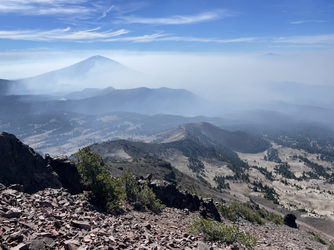
Looking back to the south as the smoke continues to come in my direction... and I can no longer see Sparks Lake... and also losing Mount Bachelor.
|
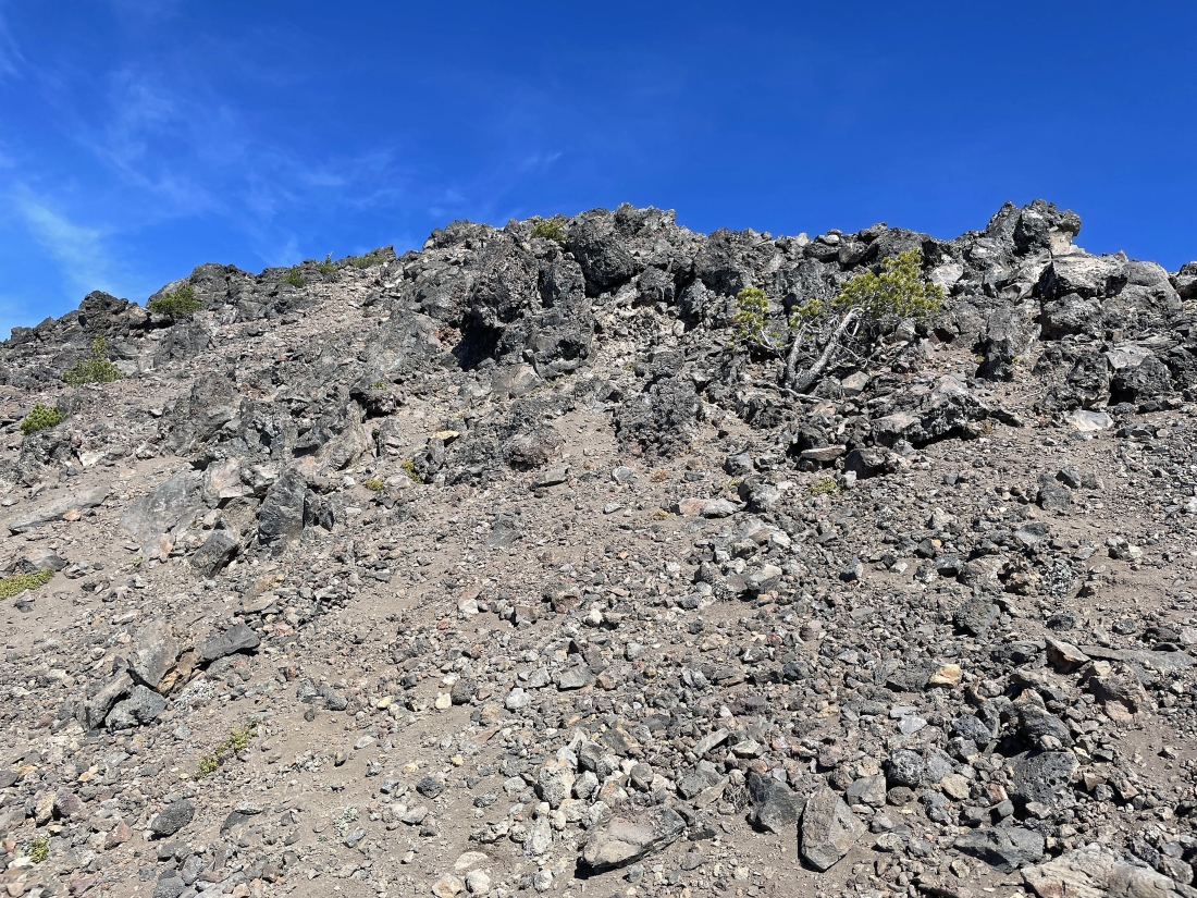
Getting closer to the South Peak summit of Broken Top... but there is still some work to do.
|
Still have 200 feet of slow-going elevation gain to get up to the top.
|
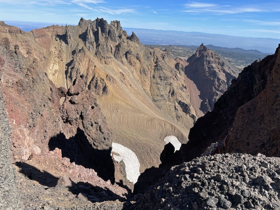
Looking down into the crater and over to the east ridge-line of Broken Top as I near the South Peak summit.
|
Almost on the summit.
|
After hiking for 5.5 hours and a total of 5.2 miles and gaining 3,581 feet of elevation I have reached the South Peak summit (9,064 feet) of Broken Top... taking me almost 2 hours to gain the last 1000 feet of elevation over the last half-mile... Broken Top's true summit (9,175 feet) is over there on the right... with the Three Sisters on the left horizon... also notice the smoke on the extreme far left as it looks like it is getting ready to reach the Green Lakes.
|
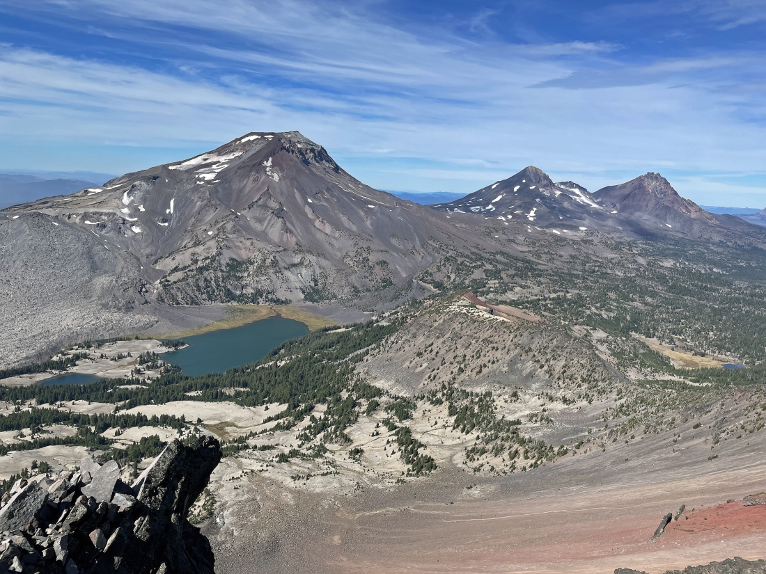
Looking down on two of the three Green Lakes... with South Sister, Middle Sister and North Sister on the horizon.
|
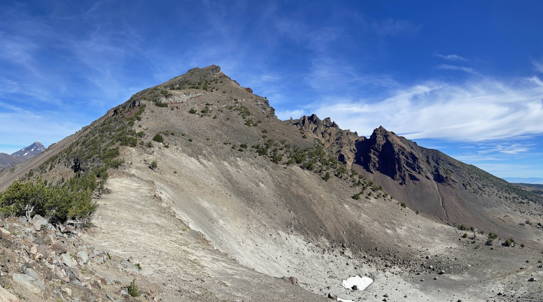
From the South Peak Summit of Broken Top I am looking north over to Broken Top's summit on the left... and over to Broken Top's east ridge-line... with Ball Butte in the distance on the far right.
|
Time to leave the summit and sort of trace my steps back down to Point 8101... watching the smoke try to get me.
|
Descending very slowly on my way back down to Point 8101... but the smoke has begun to retreat.
|
Descending toward Point 8101 in the foreground... but going down I have decided do drop down to the Broken Top Crater Trail (left of Point 8101) instead of following the ridge to the right from Point 8101 down to Cayuse Crater.
|
Dropping down from the Point 8101 area looking for the Broken Top Crater Trail... looking forward to getting off of loose rocks and gravel.
|
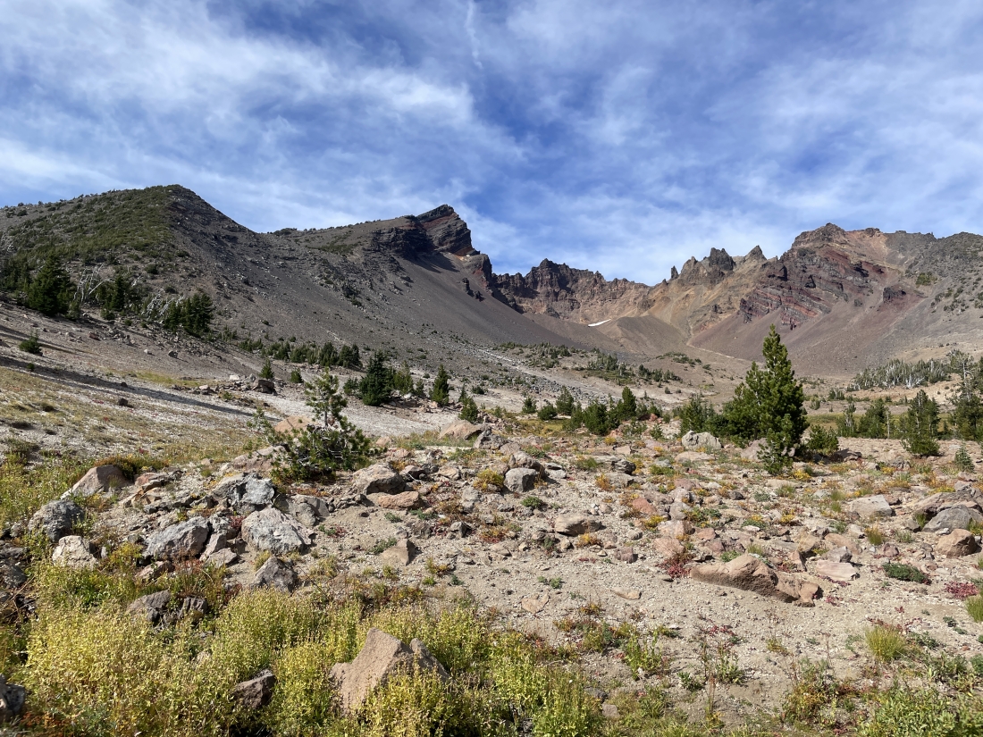
I have found the crater trail and will connect shortly with Broken Top Trail #10... here looking back up into the Broken Top crater... with the true summit of Broken Top up there in the left-center of the photo... and the South Peak summit is blocked by the rock formation in the left foreground.
|
I have found Broken Top Trail #10 and will follow it for one mile back to the place where I stepped across the trail on my way up to Cayuse Crater earlier in the day.
|
After hiking one mile on Broken Top Trail #10 and reaching the place where I stepped across the trail 6 hours earlier in the day, I have started more or less tracing my steps cross-country back down to Soda Creek Trail #11.
|
After hiking a total of 9.5 miles I have returned to Soda Creek Trail #11... another 1.5 miles will get me back to the car... the total hike was 11 miles, gaining 3,765 feet of elevation... taking me a total of 11 hours to complete.
|
