Misery Ridge Loop - 10.4.2024
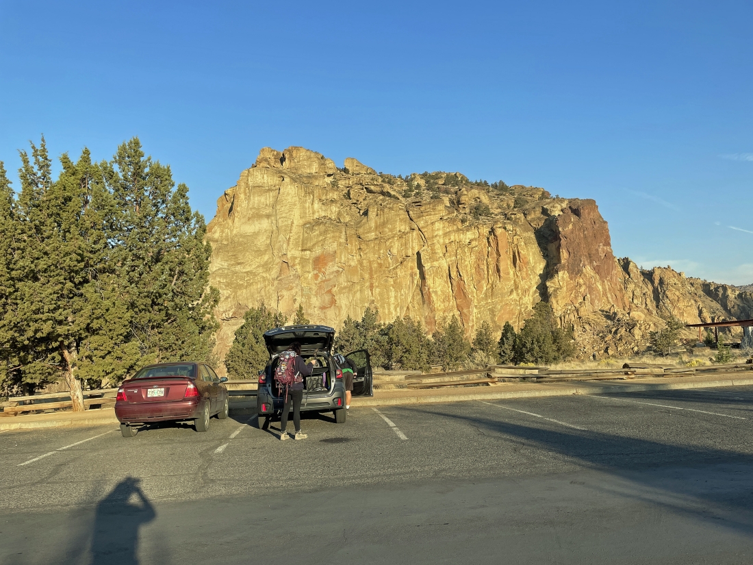
We parked along the side of NE Crooked River Drive in Smith Rock State Park... and there is a $5 parking fee.
|
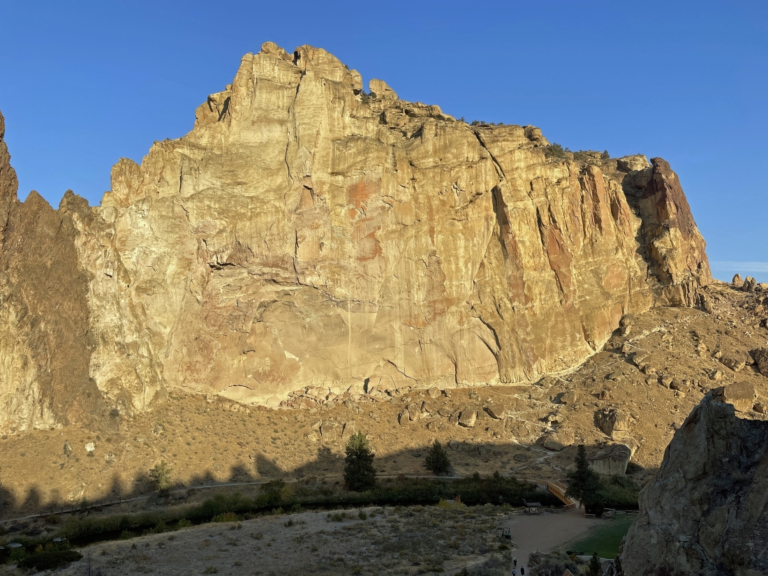
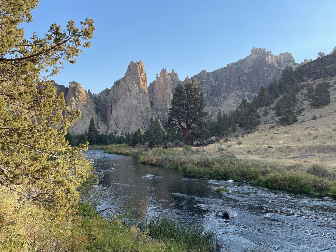
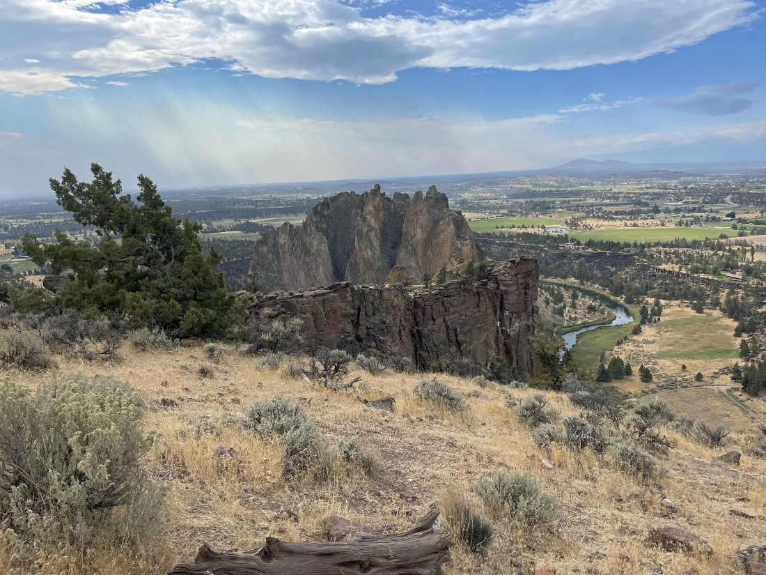
A stone's throw from where we parked we got this view. The massive rock formation in the middle of the photo is the 'Picnic Lunch Wall'. The dark brown rock formation just left of the 'Picnic Lunch Wall' is called the 'Ship Rock'... and the red rock on the right end of the 'Picnic Lunch Wall' is called the 'Red Wall'.
|
Less than a tenth of a mile from the car it is time to head down 'The Chute'... and it will take us down to a bridge crossing of the Crooked River.
|
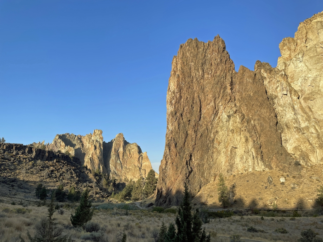
Almost down to the Crooked River bridge crossing... here looking at the 'Ship Rock' rock formation in the foreground... with 'Smith Rock' the massive rock formation in the distance on the left.
|
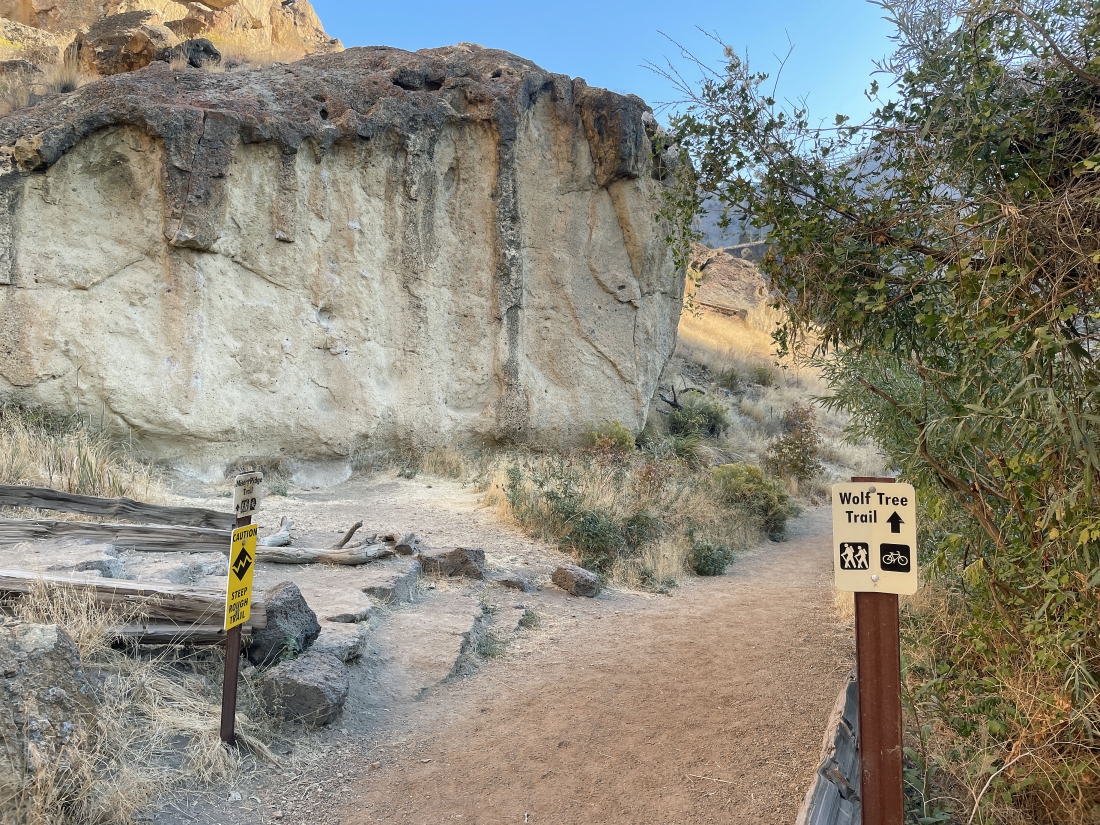
Immediately after crossing the bridge we will turn to the right and start hiking on the Wolf Tree Trail... and at the end of the day we will close the loop portion of our hike right here.
|
|
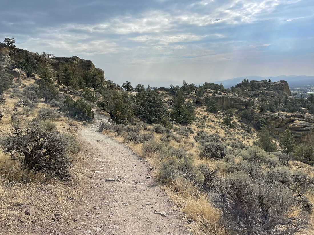
Hiking north for awhile along the Crooked River on the Wolf Tree Trail.
|
Still hiking north on the Wolf Tree Trail with incredible rock formations along the trail.
|
Continuing to hike along the Wolf Tree Trail... here looking back at Misery Ridge on the far left... and if you look closely you can see the Misery Ridge Trail coming down from the top of Misery Ridge... and that is what we will use to close the loop portion of our hike later in the day.
|
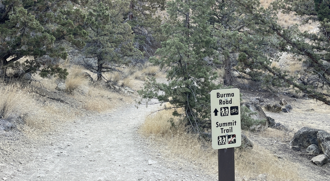
After hiking the Wolf Tree Trail for approximately one mile we will start gaining elevation on the way to Burma Road and the 'Summit Trail'.
|
Less than a quarter mile after heading uphill from the Crooked River we have reached the Burma Road... here next to the 'North Unit Main Canal'... and the Burma Road will take us up to the pass on the horizon in the middle of the photo.
|
Looking down at the Crooked River from where I took the previous photo.
|
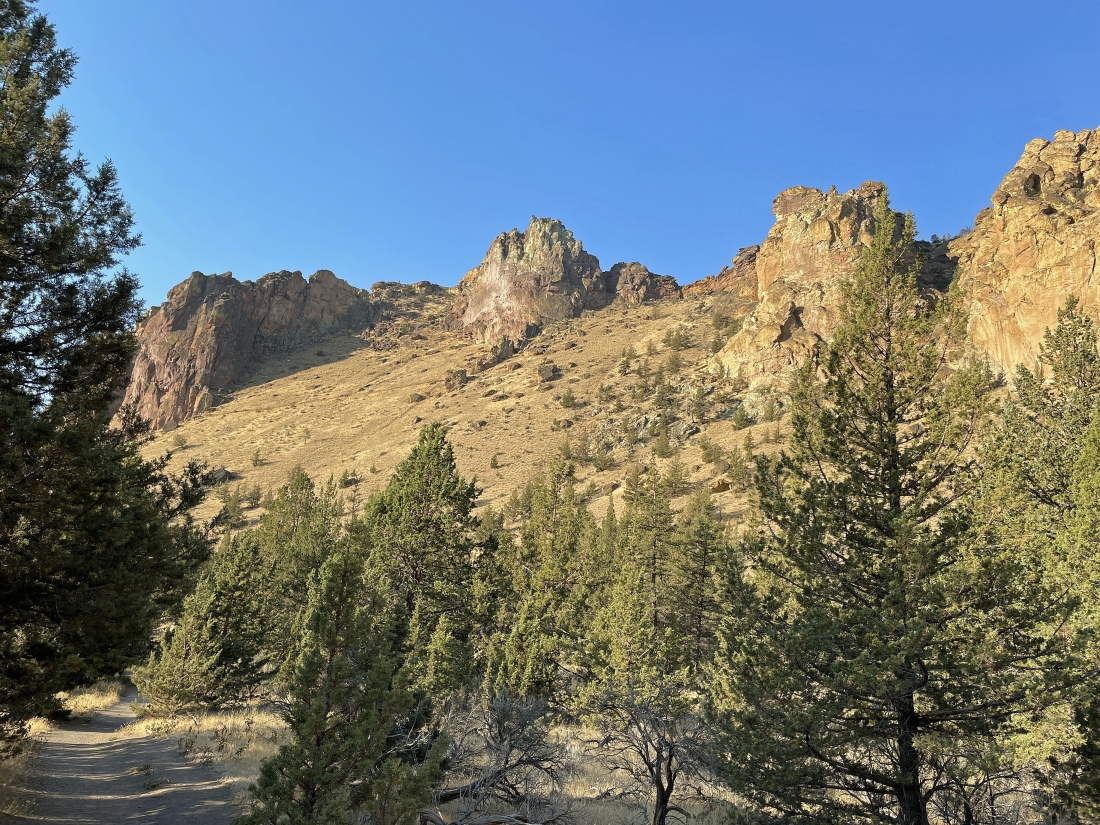
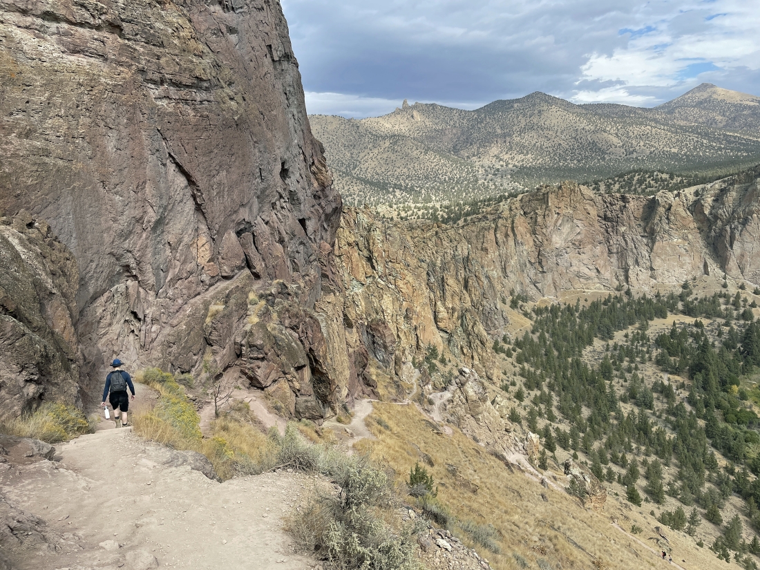
Continuing to gain elevation on Burma Road... Burma Road is outside the boundary for Smith Rock State Park... but it does provide a very nice view of the park.
|
Continuing to gain elevation on Burma Road... almost to our high point for the day... where we will connect with the 'Summit Trail'. In the lower left of the photo you can see part of the 'North Unit Main Canal' that goes down and joins the Crooked River.
|
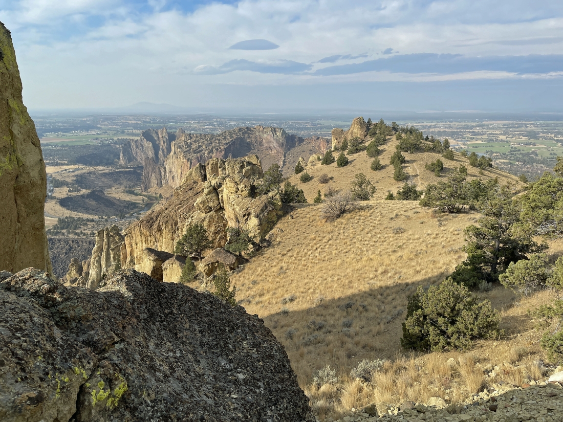
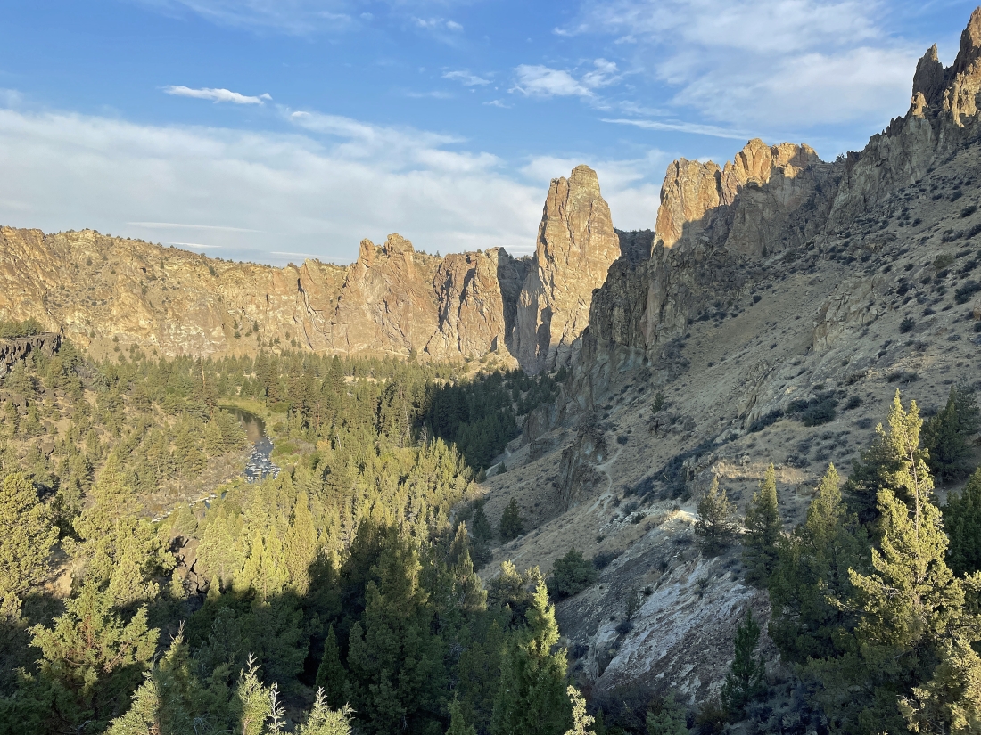
At 3,580 feet we have reached our high point for the day after hiking a total of 2.5 miles... with one of the 2.5 miles being on the Burma Road... and we can see Misery Ridge out there in the middle of the photo.
|
Leaving our high point on the Burma Road it is time to join the Summit Trail and begin to head downhill.
|
|
Hiking down the Summit Trail. Up until now we have been hiking on the south side of the park's rock formations... and now we will be on the park's north side for awhile
|
Continuing to hike down the Summit Trail... on the north side of the park's rock formations.
|
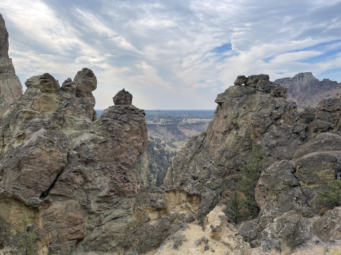
Continuing to hike down the Summit Trail on the north side of the park's rock formations... here looking through a gap in the rocks down to the Crooked River on the south side of the rock formations... with Misery Ridge in the distance on the far right horizon.
|
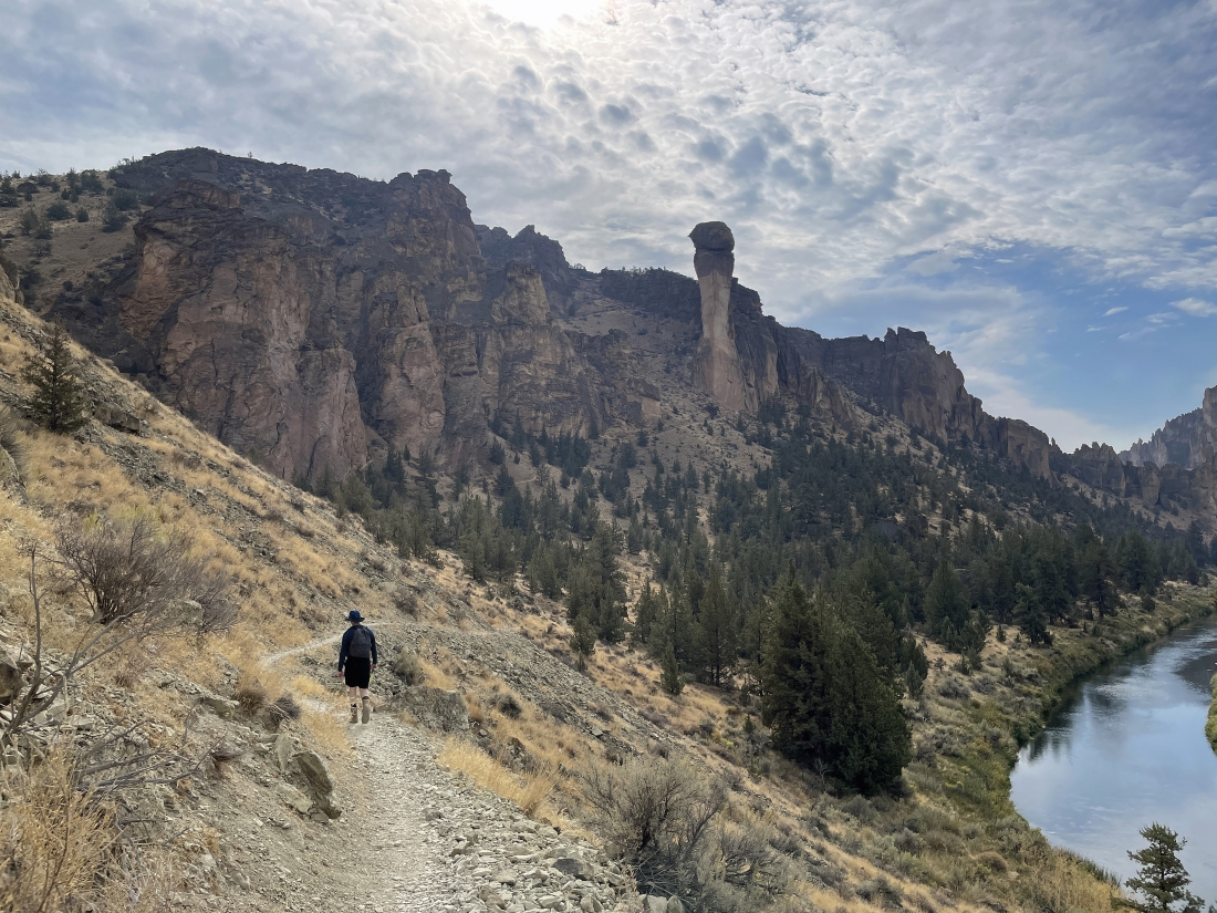
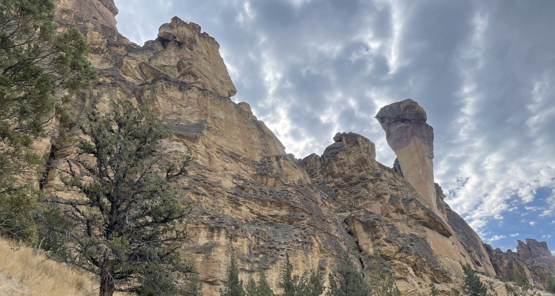
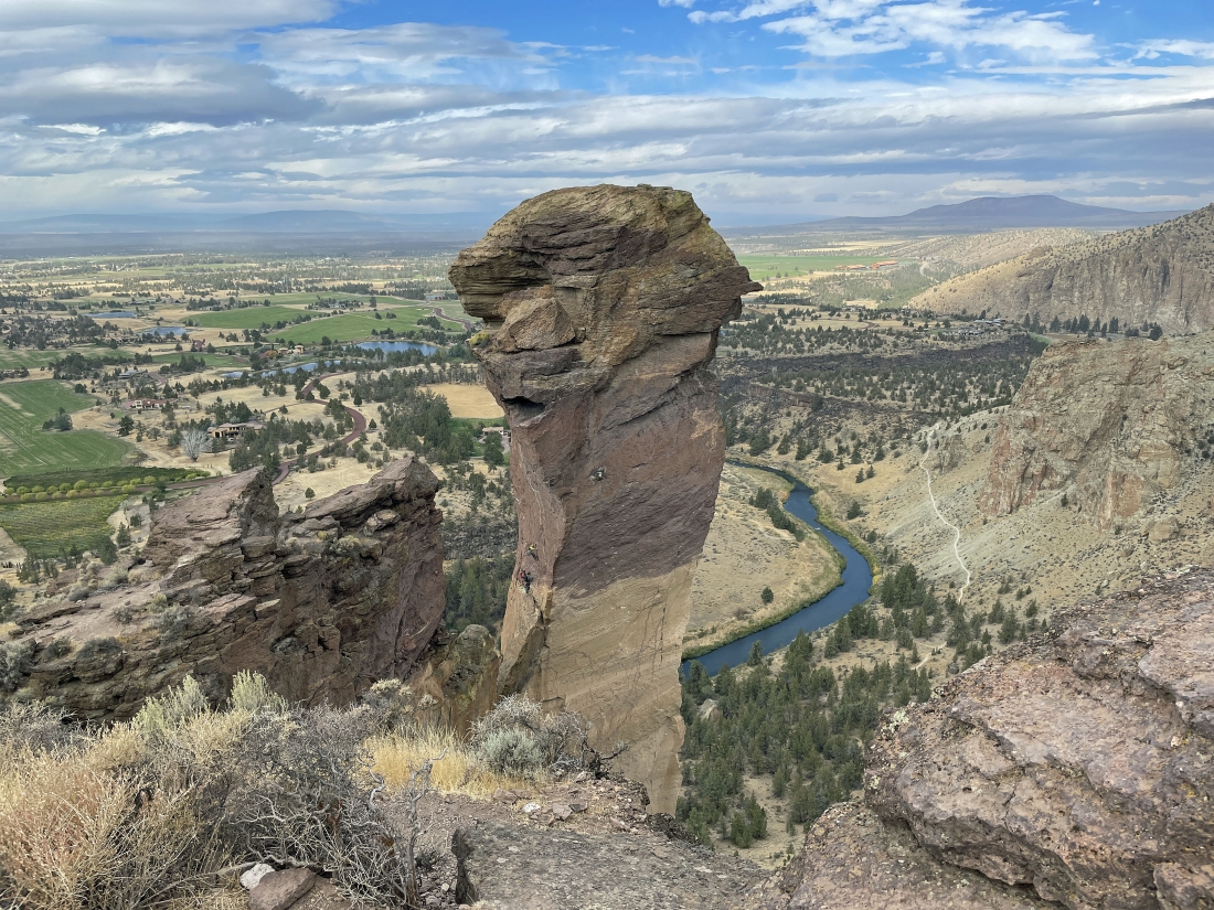
Continuing to lose elevation on the Summit Trail... with the Crooked River below... and we can see the rock formation of 'Monkey Face' in the distance... and the Misery Ridge Trail on the left side of Monkey Face.
|
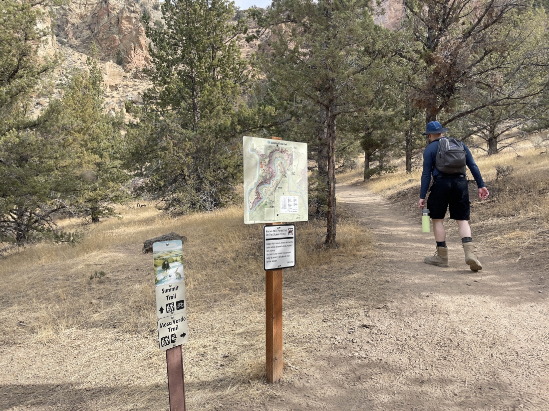
After hiking a total of 4.8 miles (2.4 miles on the Summit Trail) we start hiking uphill on the Mesa Verde Trail.
|
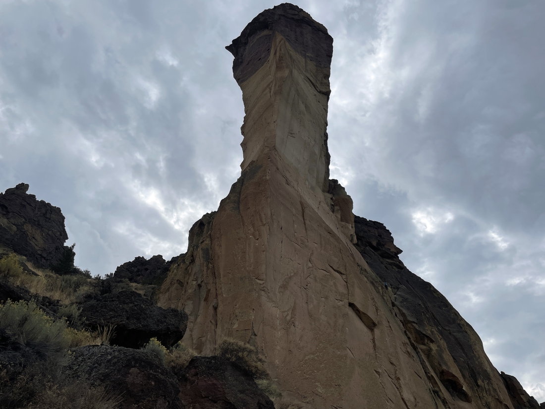
Continuing to gain elevation on the Mesa Verde Trail... with 'Monkey Face' standing out on the right... and the trail will take us to the base of Monkey Face.
|
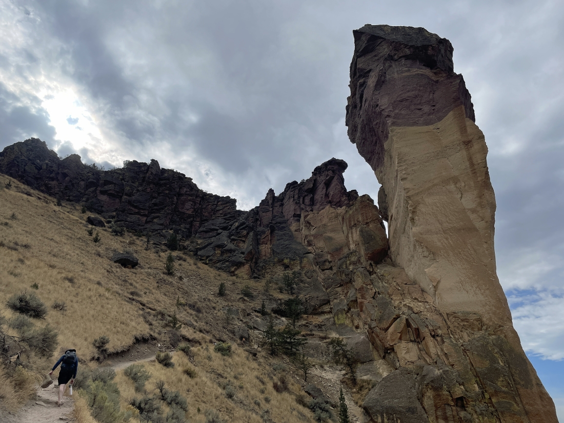
After hiking the Mesa Verde Trail for a quarter mile we have reached the base of Monkey Face and will join the Misery Ridge Trail... here looking back at part of the Summit Trail coming around the rock wall in the middle of the photo.
|
At the base of Monkey Face and beginning to gain elevation on the Misery Ridge Trail.
|
Continuing to gain elevation on the Misery Ridge Trail... still on the north side of the park's rock formations.
|
Continuing to gain elevation on the Misery Ridge Trail... still on the north side of the park's rock formations.
|
|
Continuing to gain elevation on the Misery Ridge Trail... still on the north side of the park's rock formations.
|
Continuing to gain elevation on the Misery Ridge Trail... still on the north side of the park's rock formations.
|
Continuing to gain elevation on the Misery Ridge Trail... still on the north side of the park's rock formations.
|
High enough now to see the huge 'Smith Rock' rock formation in the distance.
|
Still on the Misery Ridge Trail... working our way from the north side of the park's rock formations over to where we began our day on the south side of the park's rock formations.
|
|
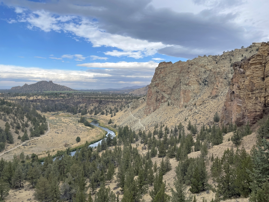
We are back on the south side of the park's rock formations... and we will head steeply downhill on the Misery Ridge Trail in the lower left corner of the photo... and we can see the Burma Road over in the right center of the photo.
|
Continuing to hike downhill on the very steep Misery Ridge Trail.
|
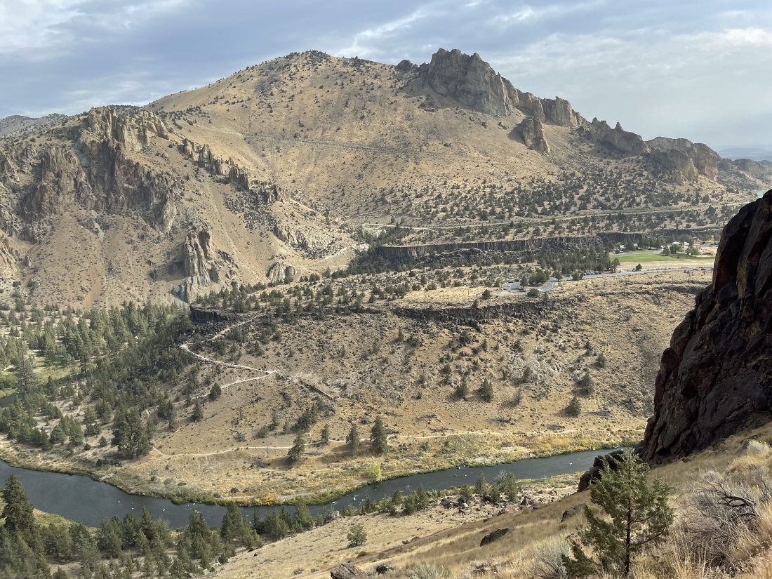
Continuing to hike downhill on the very steep Misery Ridge Trail... here looking over to the 'Marsupial Crags' on the horizon... and you can see the Burma Road cutting across below the crags.
|
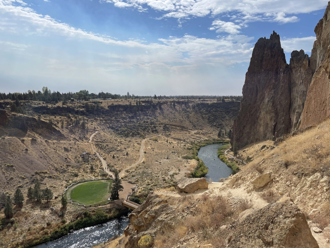
Still losing elevation on the Misery Ridge Trail... and we can see the Crooked River bridge crossing below.
|
Almost back to the car... the loop portion of the hike was 5.7 miles... with the total hike being 6.3 miles, gaining 1,876 feet of elevation.
|
