Tanzbodeli - 11.5.2024
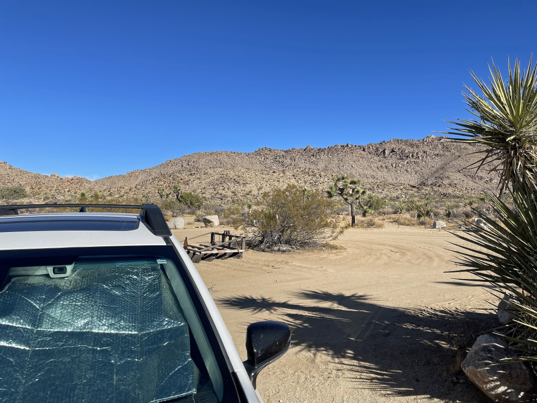
We parked at the end of O'Dell Road in Joshua Tree National Park. O'Dell Road is a dirt road that can be accessed via the paved Park Blvd or the Queen Valley Road which is also a dirt road.
|
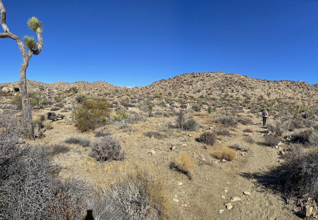
The Queen Mountain Trailhead is unsigned and we have just left the car... the true summit of Queen Mountain is on the far right horizon... but we will be heading for the pass in the left center of the photo.
|
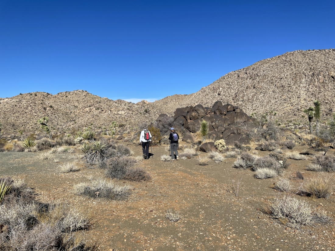
After hiking a half-mile on the Queen Mountain Trail we will leave the main trail at this pile of black rocks and start following a path that will take us up to the pass on the horizon. Queen Mountain is a massive mountain... somewhere in the neighborhood of 12 to 16 square miles.
|
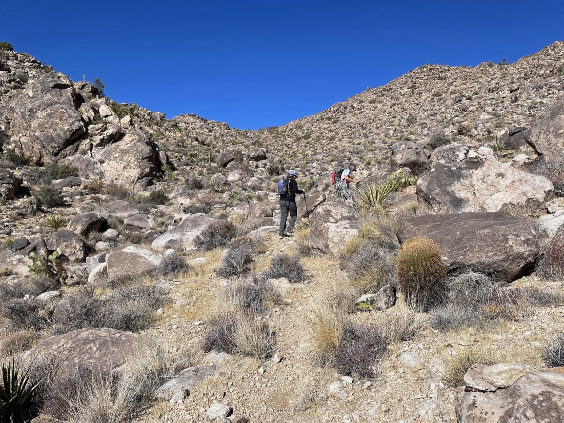
Heading for the pass above.
|
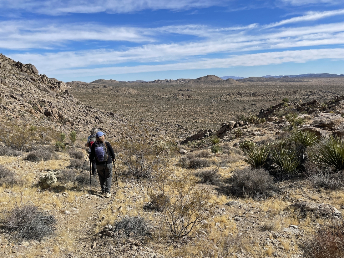
After hiking a little over a mile we have reached the pass... and we will be heading for the gap out there on the horizon in the middle of the photo.
|
The main path goes to the right but we will go to the left on a path that will take us up to the gap on the left.
|
Heading for the gap above.
|
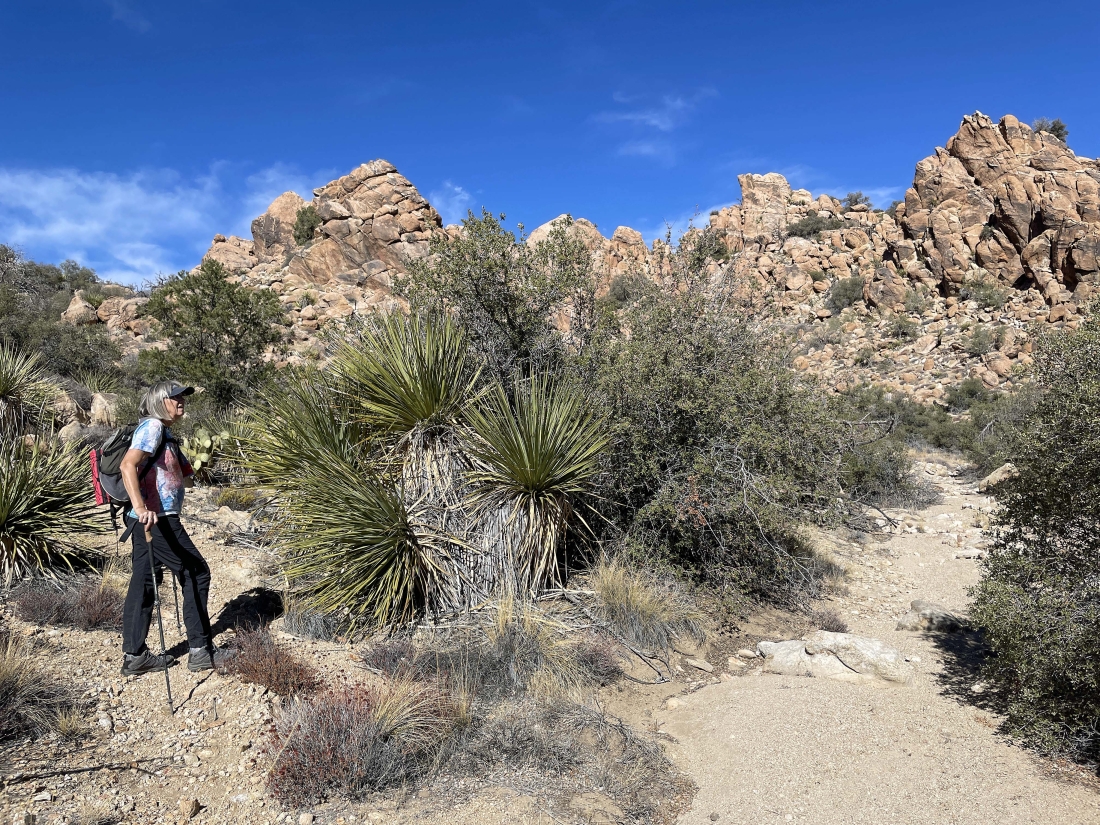
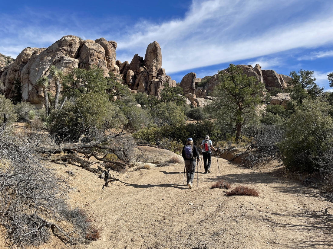
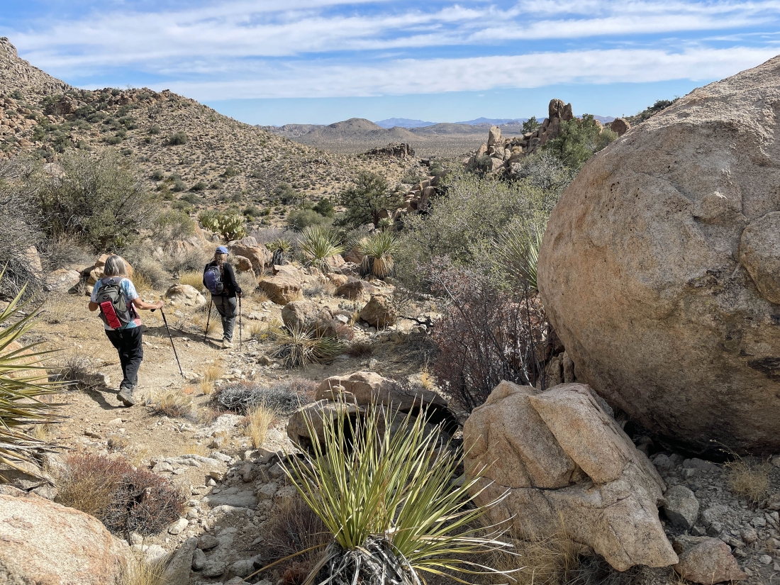
After hiking a total of 1.5 miles we have reached a large wash on the west shoulder of Queen Mountain... and we will follow it to the north.
|
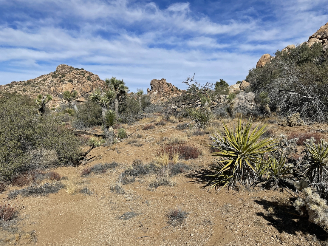
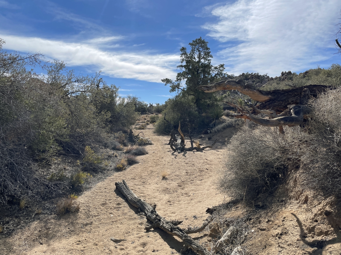
After hiking a total of 2.1 miles we will leave the wash and head over to that wall of orange rocks.
|
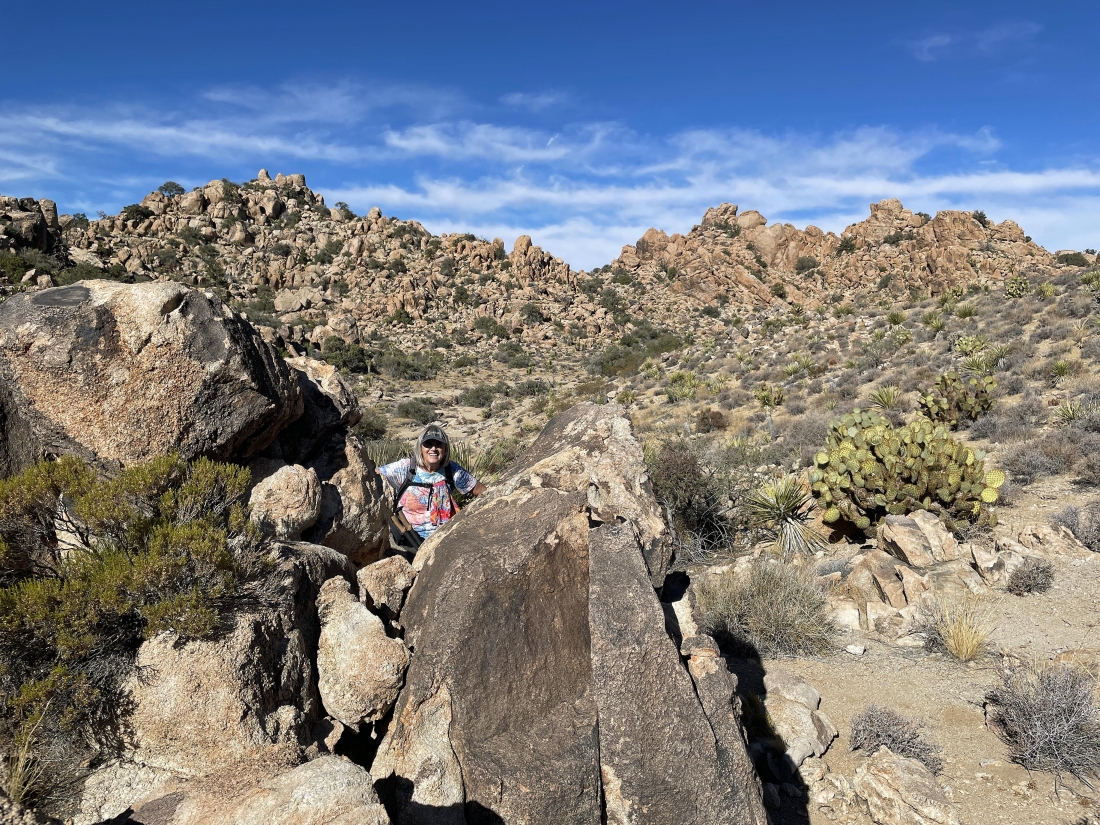
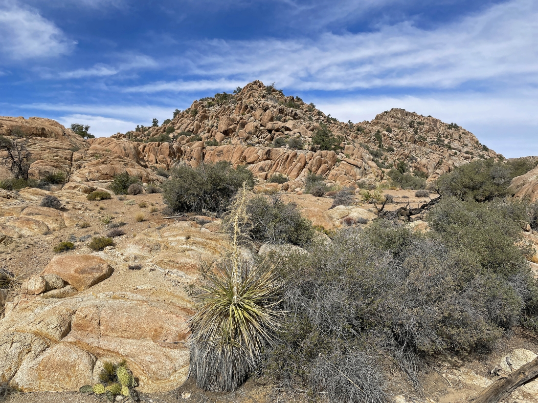
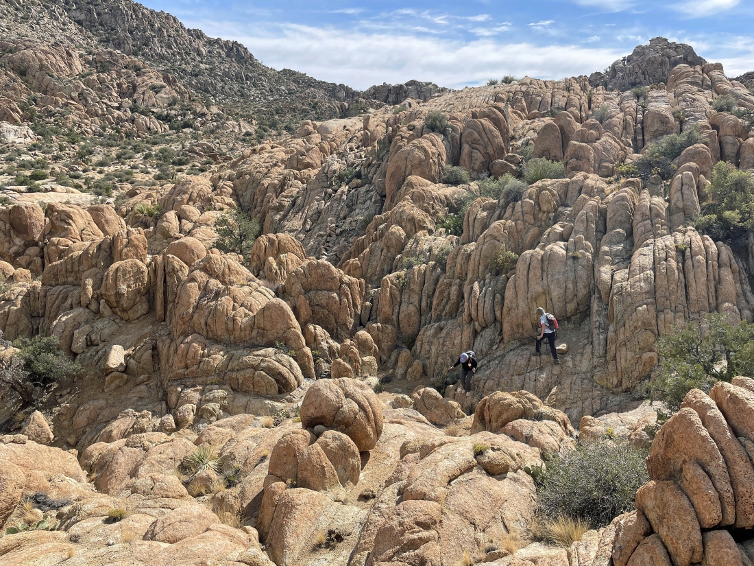
We have reached the wall of orange rocks... now we need to find a route that will get us up to what looks like a huge flat bench above the wall of orange rocks.
|
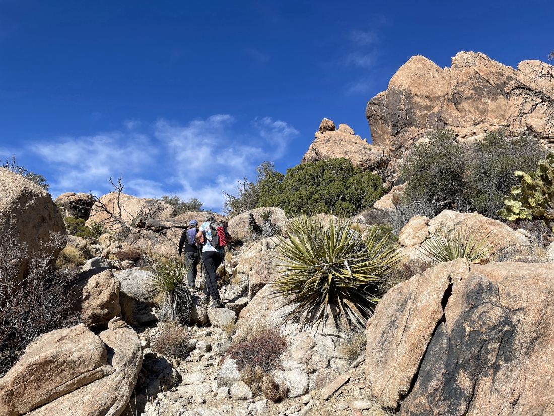
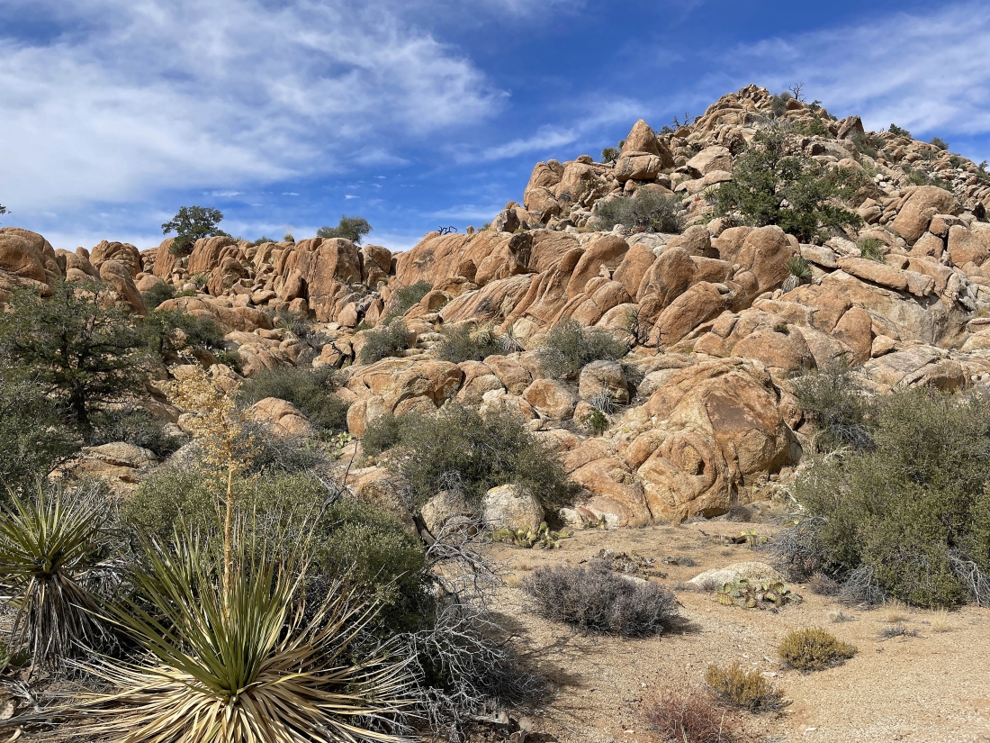
Working our way up toward the flat bench.
|
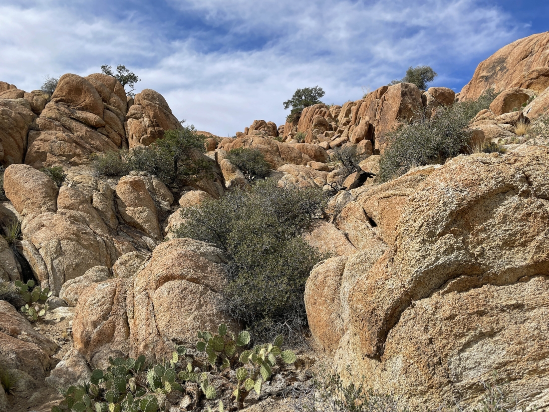
We have found our way up to the flat bench... and I call it the Tanzbodeli highway.
|
This is the view from the end of the Tanzbodeli highway... and I call it Tanzbodeli... named after the official Tanzbodeli located in Lauterbrunnen, Switzerland. Tanzbodeli means 'little dance floor'. It is time to continue over to the high point in Tanzbodeli.
|
Reeling in the high point of Tanzbodeli.
|
After hiking a total of 2.6 miles we have reached the high point (4,860 feet) of Tanzbodeli... looking west toward the San Bernardino Mountains on the horizon in the center of the photo.
|
|
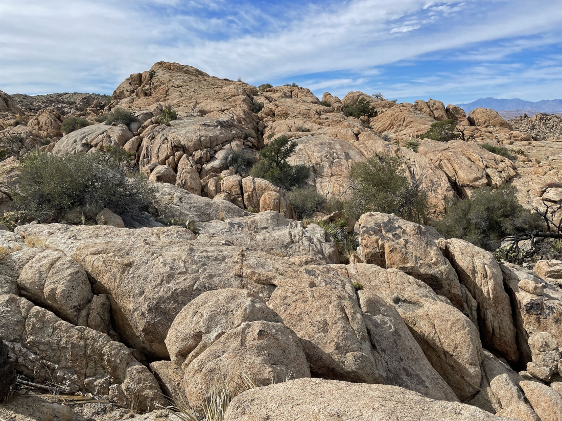
Looking back across Tanzbodeli from our high point.. the summit of Queen Mountain is out there somewhere.
|
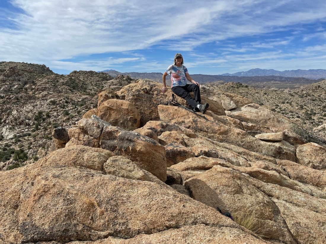
Denali Girl is enjoying our Tanzbodeli high point... with the San Bernardino Mountains on the right... and the 10,834 foot summit of San Jacinto Peak (located above Palm Springs) is barely visible on the left horizon.
|
Looking back at Tanzbodeli as we trace our steps back to the car.
|
Tracing our steps back down those orange rocks... heading for the wash out there on the left.
|
Back in the wash... hiking south now... tracing our steps back to the car.
|
Continuing to hike south in the huge wash on the west shoulder of Queen Mountain.
|
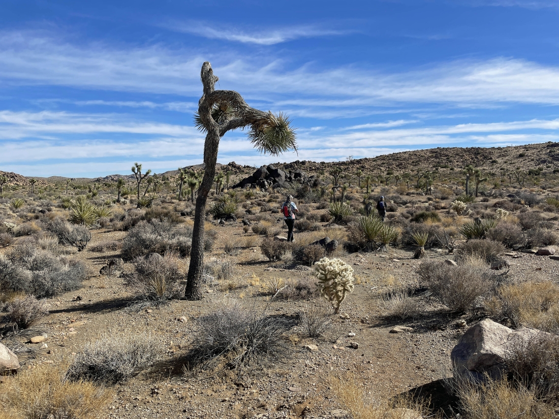
We can see Queen Valley out there in the distance as we trace our steps back to the car.
|
We can see Queen Valley out there in the distance as we trace our steps back to the car.
|
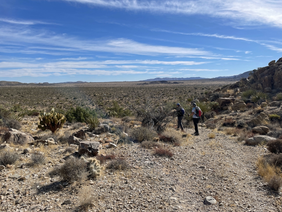
We have returned to that big pile of black rocks... leaving us another half-mile of hiking to get back to the car.
|
Hard to see our white car in this photo... but we are only a stone's throw from reaching it... the total hike was 5.2 miles, gaining 679 feet of elevation.
|
