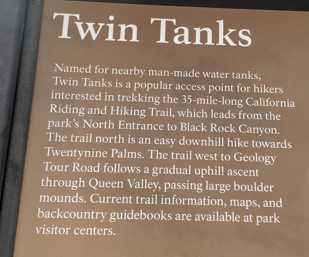
Twin Tanks - 12.11.2024
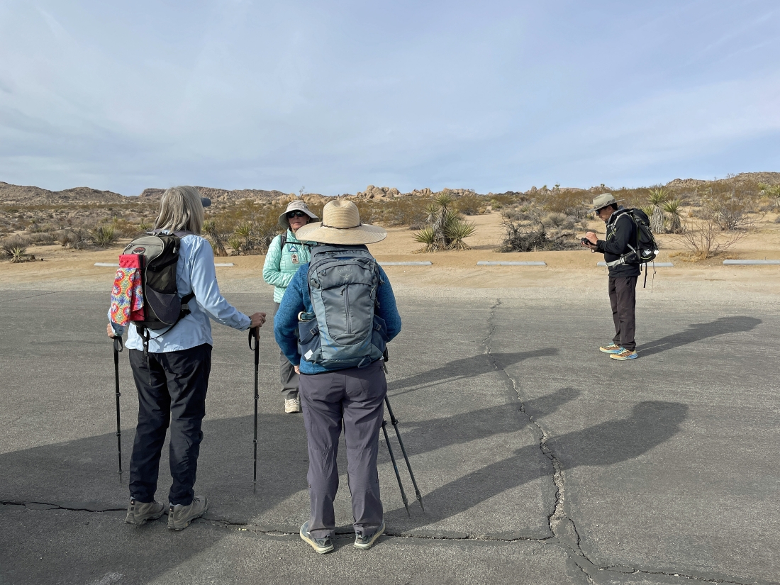
We parked in a paved parking lot that is shared by the Twin Tanks hike and the Arch Rock hike... located just off of the Pinto Basin Road... approximately one mile south of Belle Campground and a quarter mile north of the White Tank Campground.
|
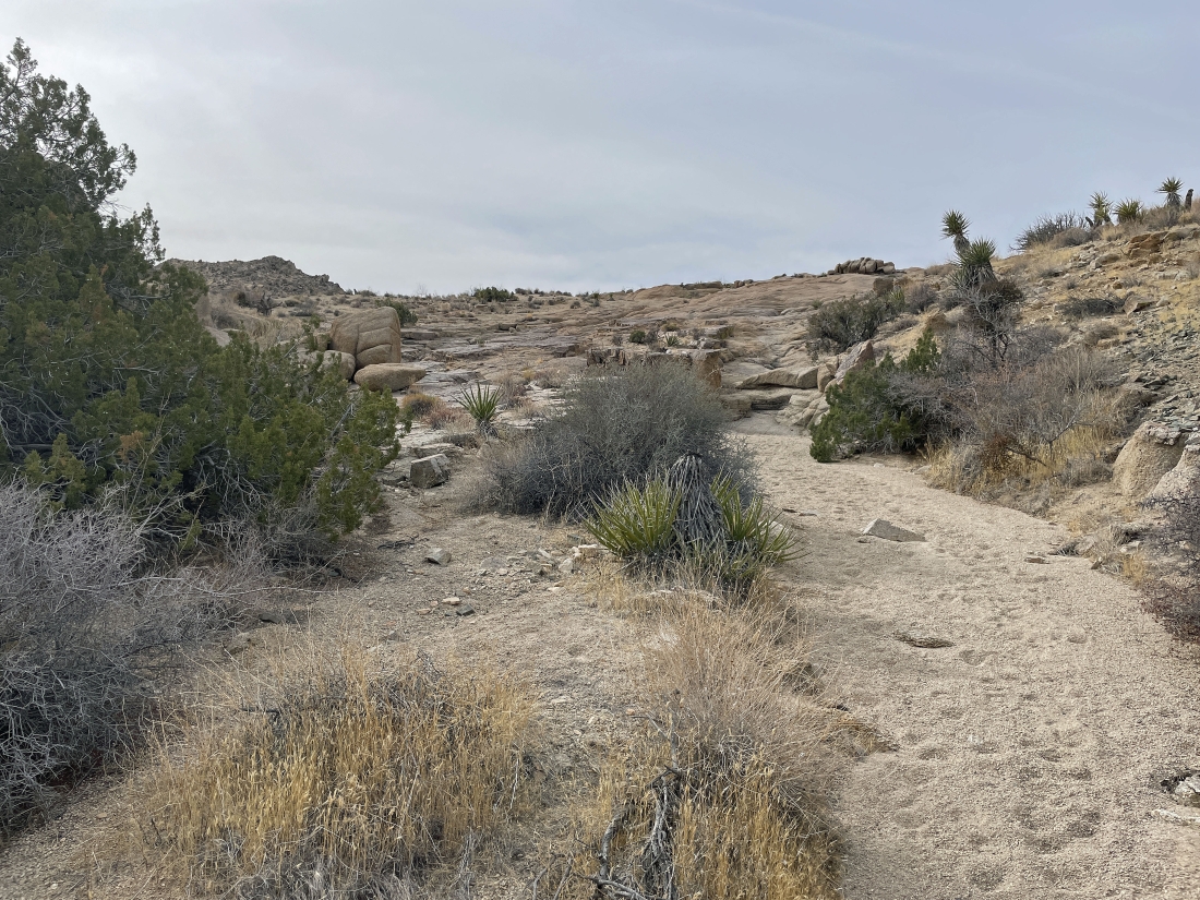
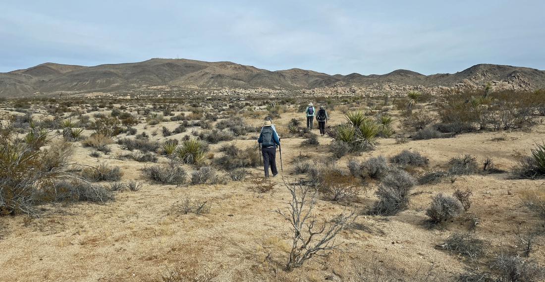
Leaving the parking lot and beginning to hike west toward the Twin Tanks.
|
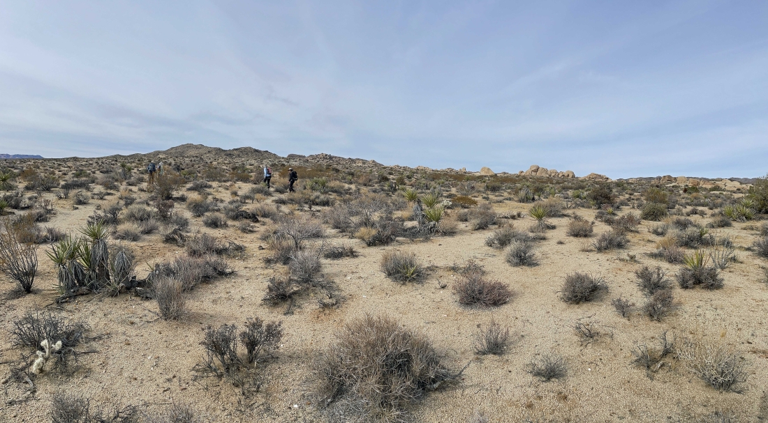
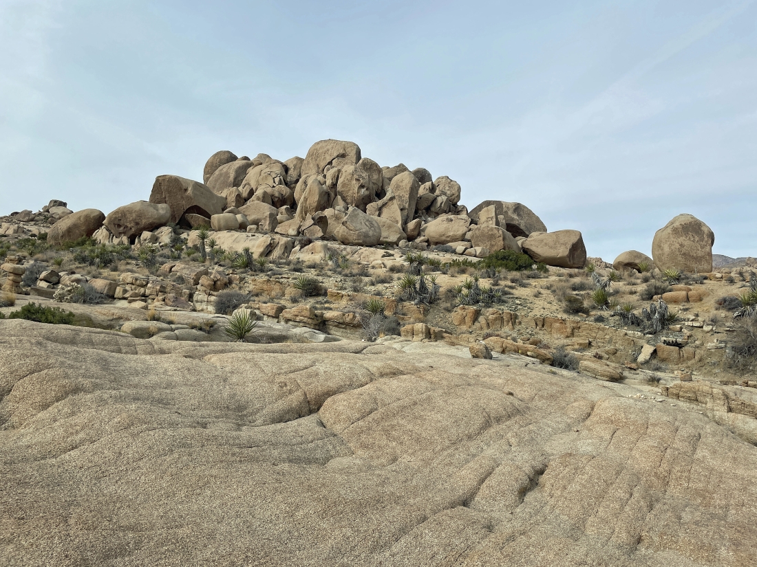
Hiking west in the Twin Tanks area... with lots of rock formations in the distance.
|
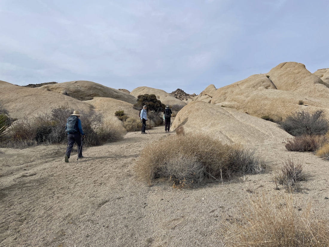
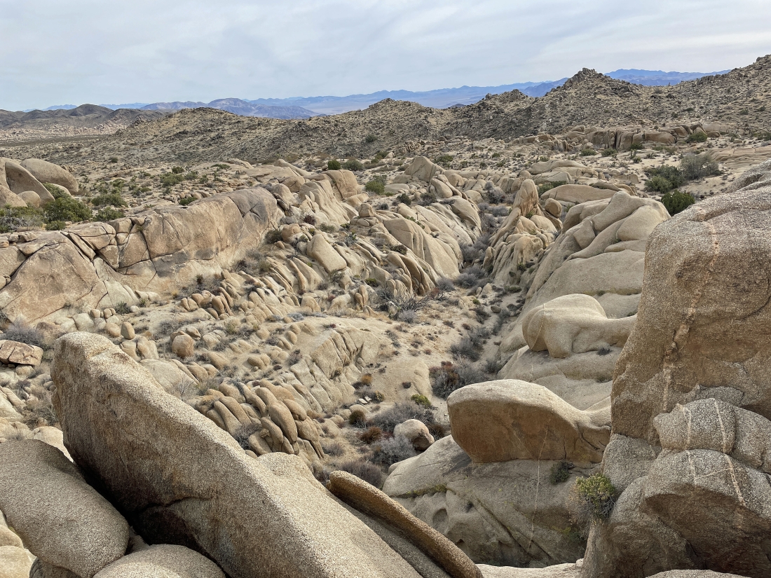
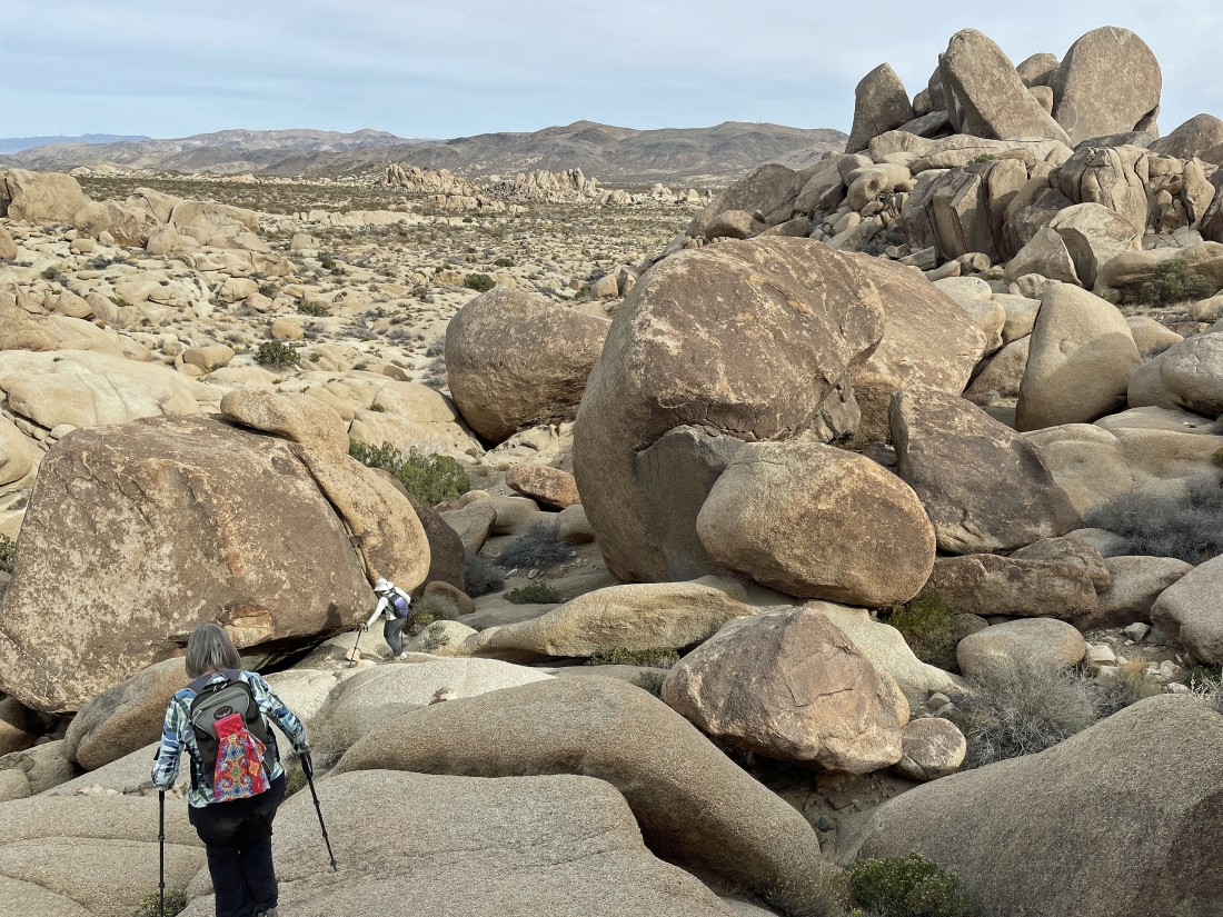
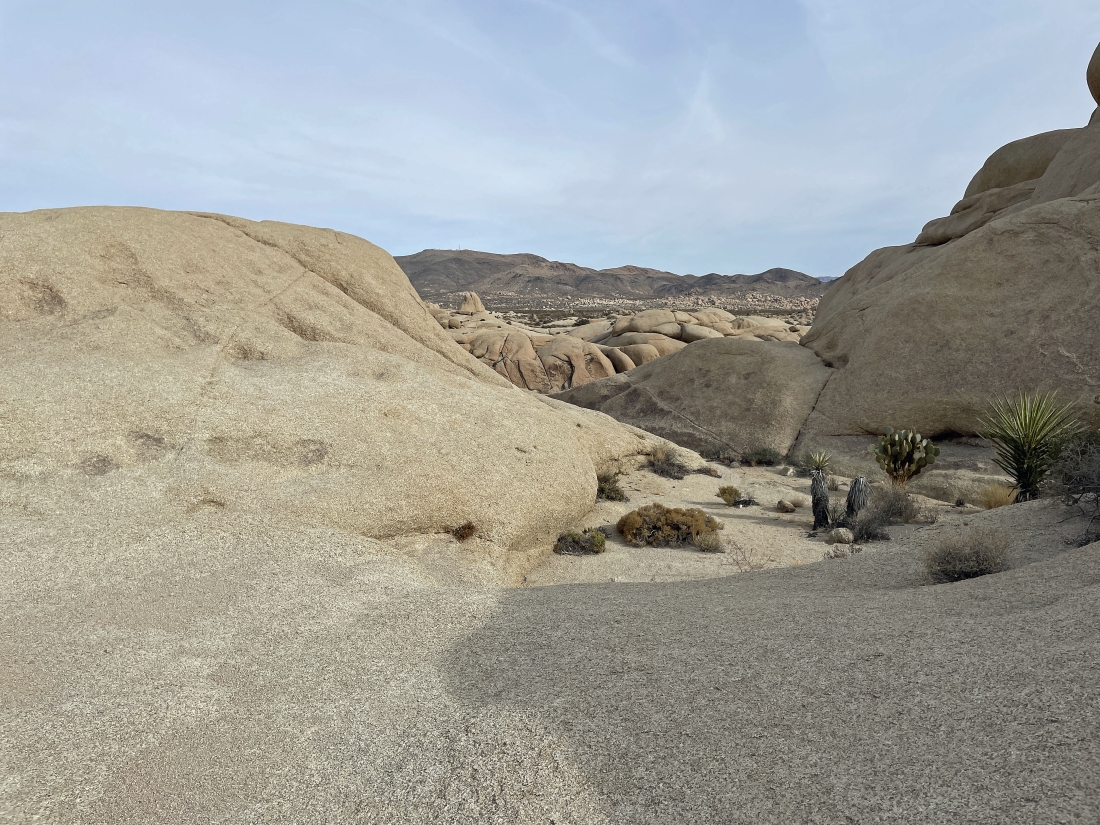
Continuing to hike west in the Twin Tanks area... and this area has lots of little washes that a person doesn't see from the parking lot.
|
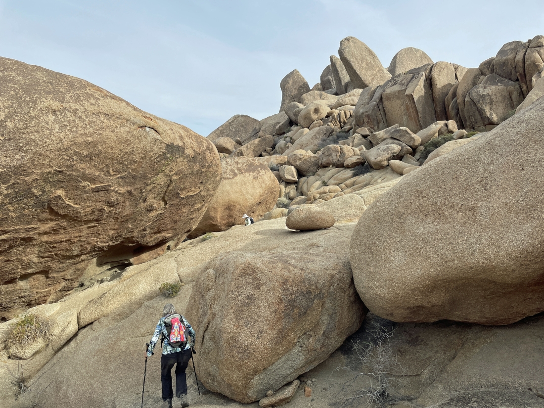
Continuing to hike west in the Twin Tanks area... and after hiking a total of one mile we have reached the Twin Tanks.
|
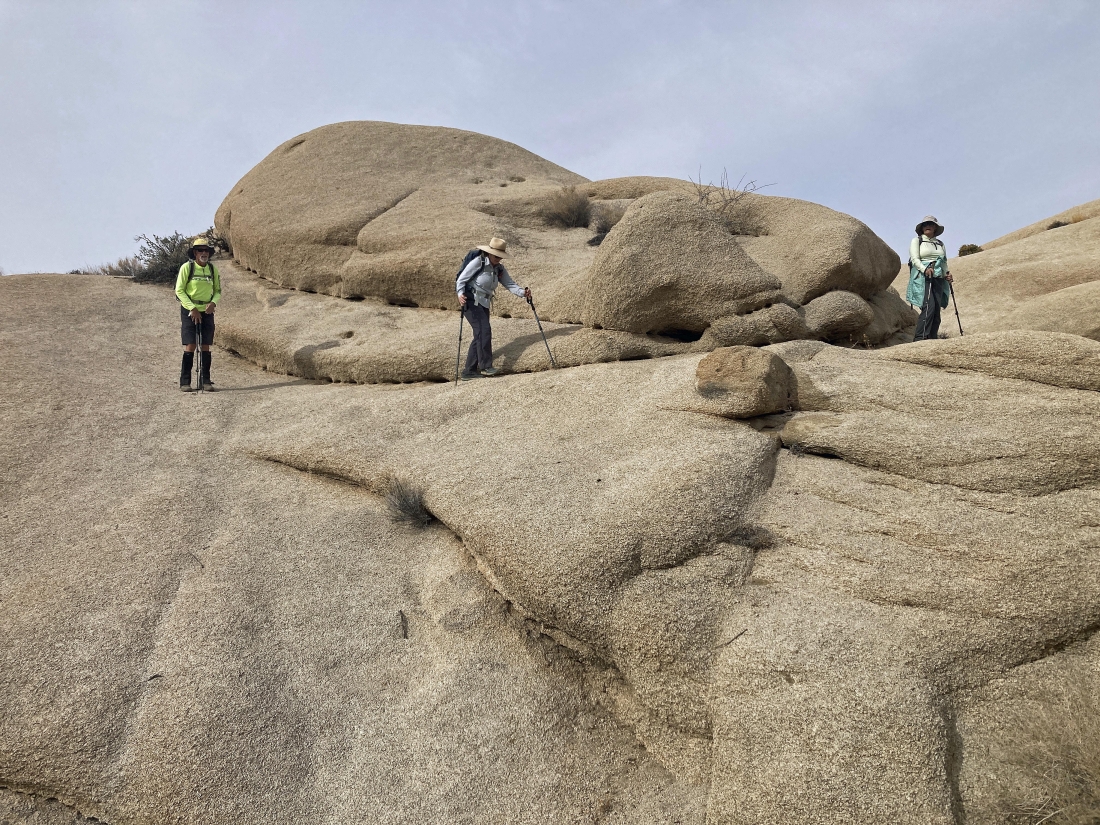
We have reached the Twin Tanks... here standing above the tanks.
|
I'm looking down at Denali Girl as she looks down at a piece of a dam.
|
Looking back to the east at part of the Pinto Mountains on the horizon... with a dam in the lower left corner of the photo.
|

Denali Girl took this shot of me above the Twin Tanks.
|
Continuing to hike west in the Twin Tanks area... heading for the the huge rock formations out there in the right-center of the photo.
|

Hiking through a wash where Denali Girl points out a waterfall.
|
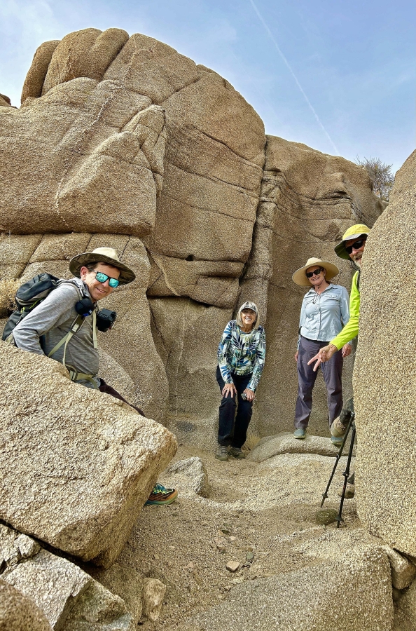
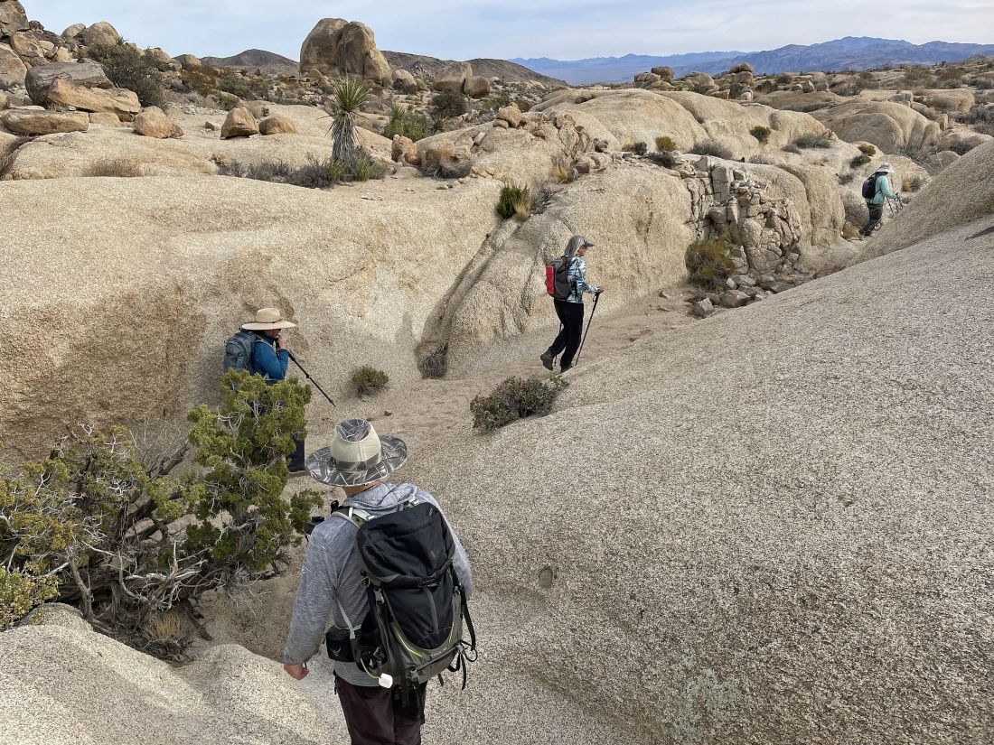
Star Dancer took this photo of the rest of us checking out the waterfall... left to right... photoman, Denali Girl, Stalker and me.
|
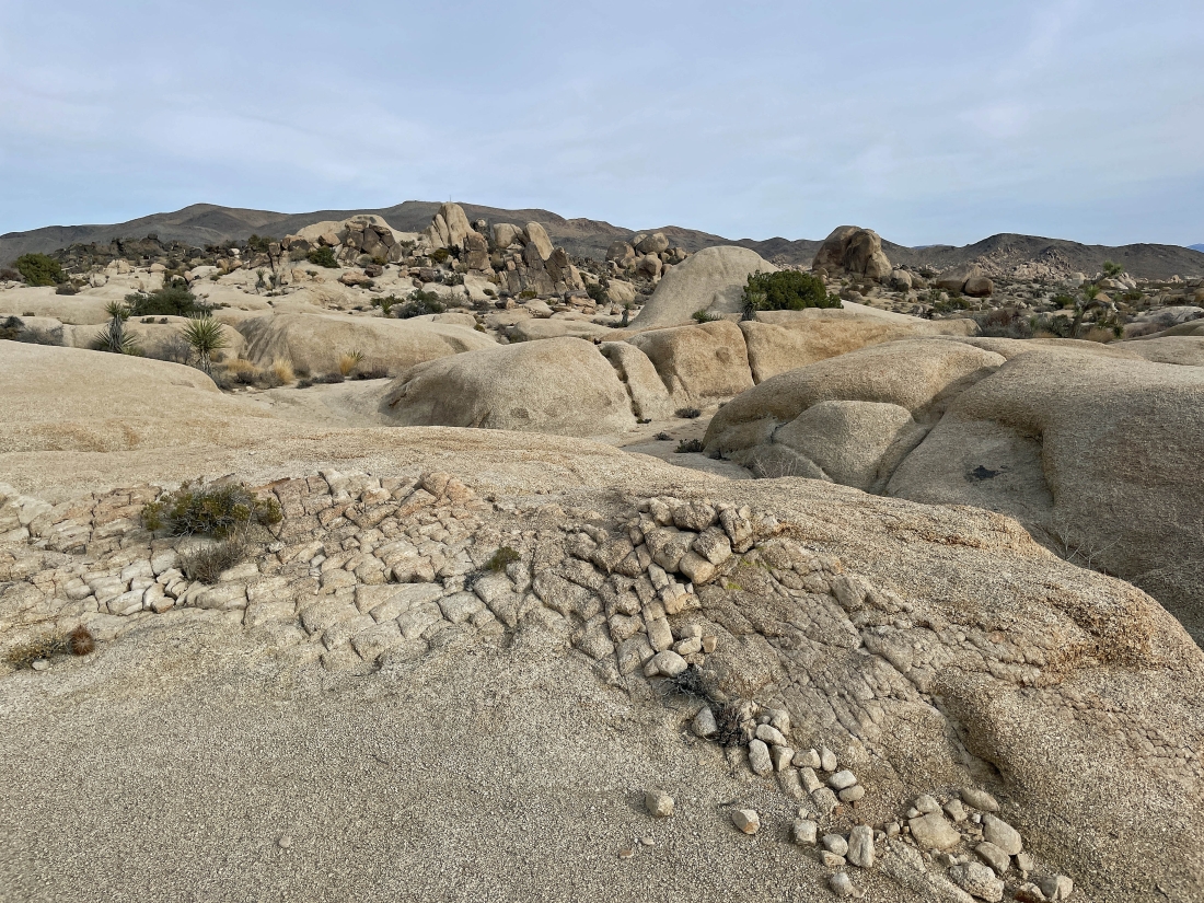
Continuing to hike west in the Twin Tanks area... with some interesting terrain up there in the distance... almost looks like a dance floor.
|
I'm on the dance floor... looking back to the east toward the Pinto Mountains on the horizon... watching the gang coming over to join me... this is the type of terrain that you do not see from the parking lot.
|
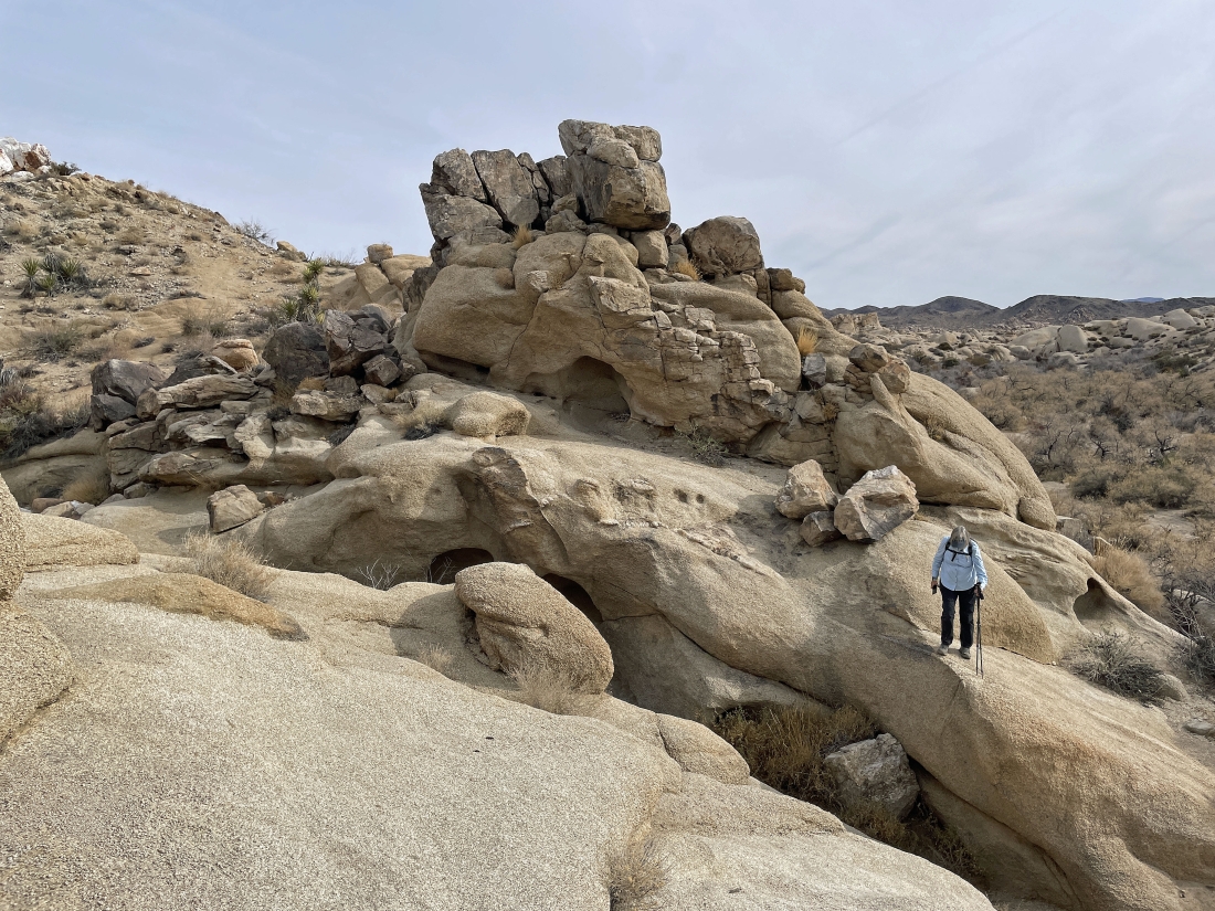
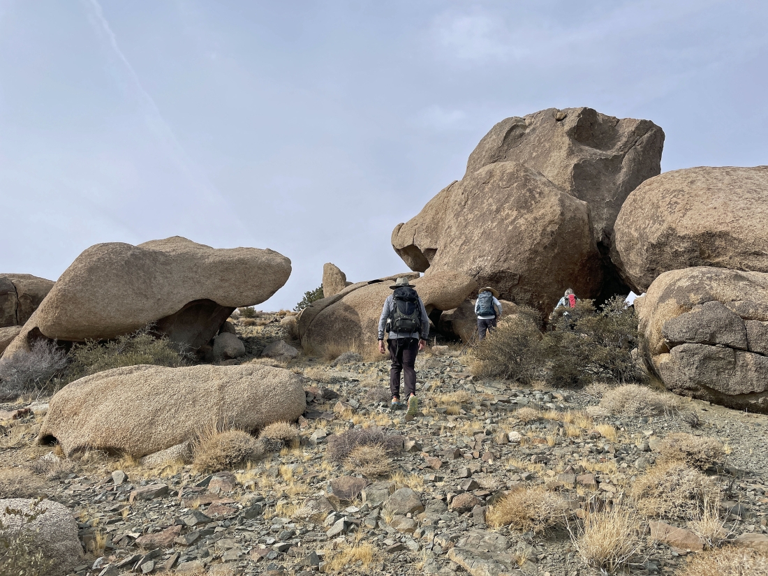
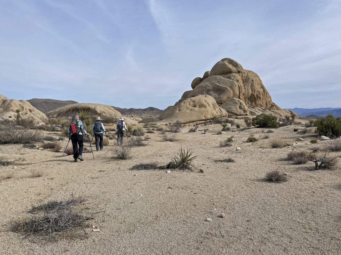
Leaving the dance floor and heading over toward those rock formations.
|
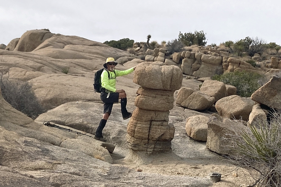
I found this huge mushroom!
|
Looking back to the east as we work our way over to the huge rock formations from two photos ago.
|
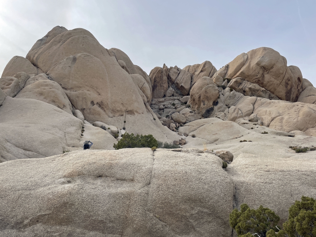
Leaving the desert floor and gaining elevation just beyond the huge rock formations.
|
Continuing to gain elevation hiking above the desert floor.
|
Looking SE toward Pinto Basin... way out there in the distance.
|
|
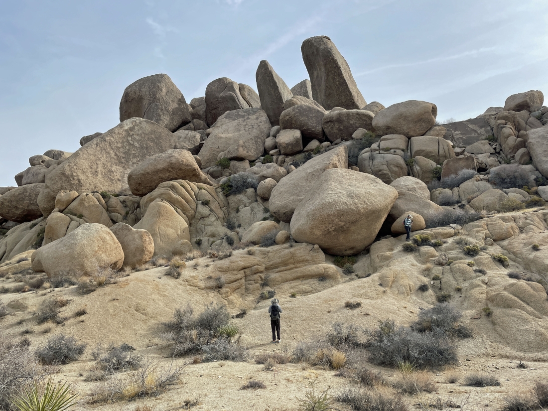
Watching the gang come up to join me as they leave the huge rock formations.
|
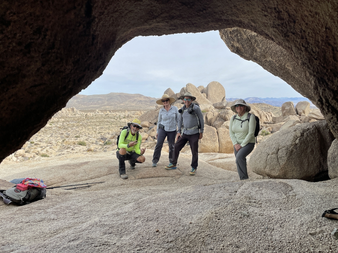
This might be an arch... here I'm looking through the arch at photoman in the distance.
|
Continuing to gain elevation as we continue to hike to the west.
|
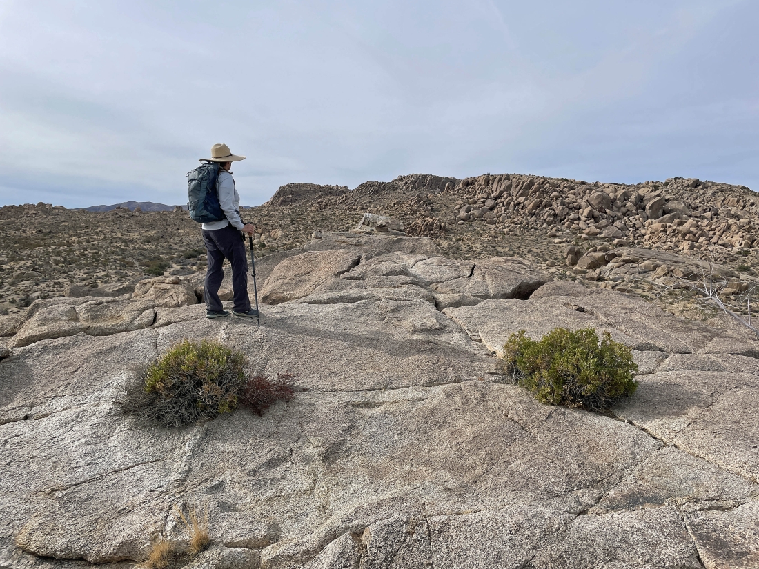
Stalker has reached our 4,300 foot high point which offers nice views in all directions... that huge bump on the horizon just to the right of Stalker is the Crown Prince Lookout.
|
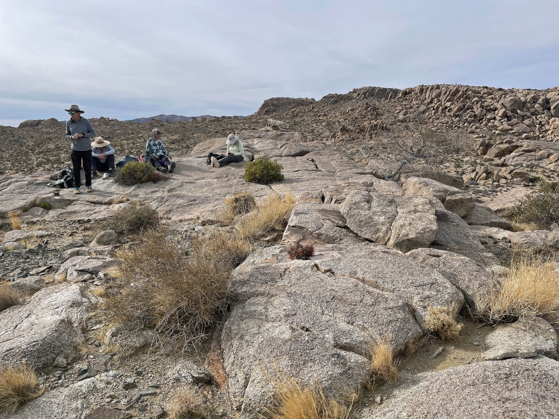
After hiking a total of 1.8 miles we are taking a fun break on our 4,300 foot high point.
|
Leaving our high point and heading back down toward the desert floor.
|
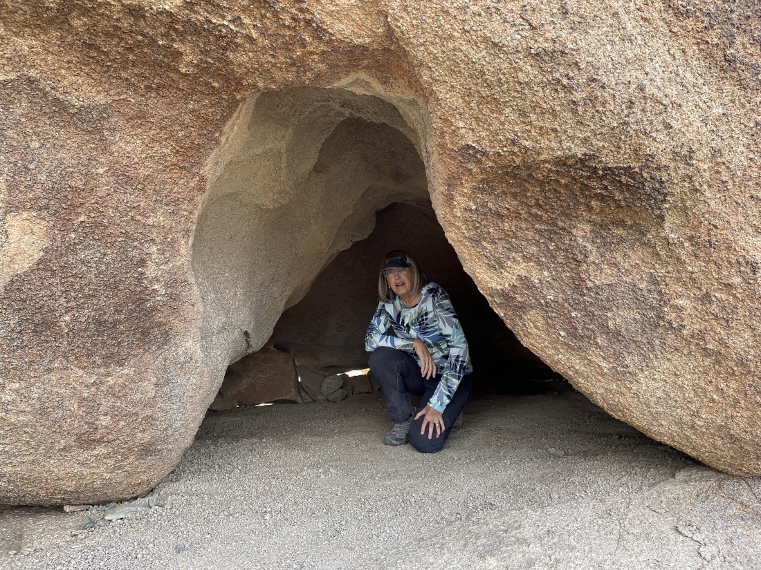
Denali Girl found a nice little cave.
|
Denali Girl took this photo from inside her cave... with the Pinto Mountains on the horizon... with Pinto Mountain on the right horizon directly above Star Dancer.
|
Now hiking east back toward our cars... working our way back down to the desert floor.
|
Hiking east... continuing to work our way back down to the desert floor.
|
|
I'm back down on the desert floor... here looking back at photoman and Stalker as they work their way down to join me... and I think that is a sundog up there surrounding the sun.
|
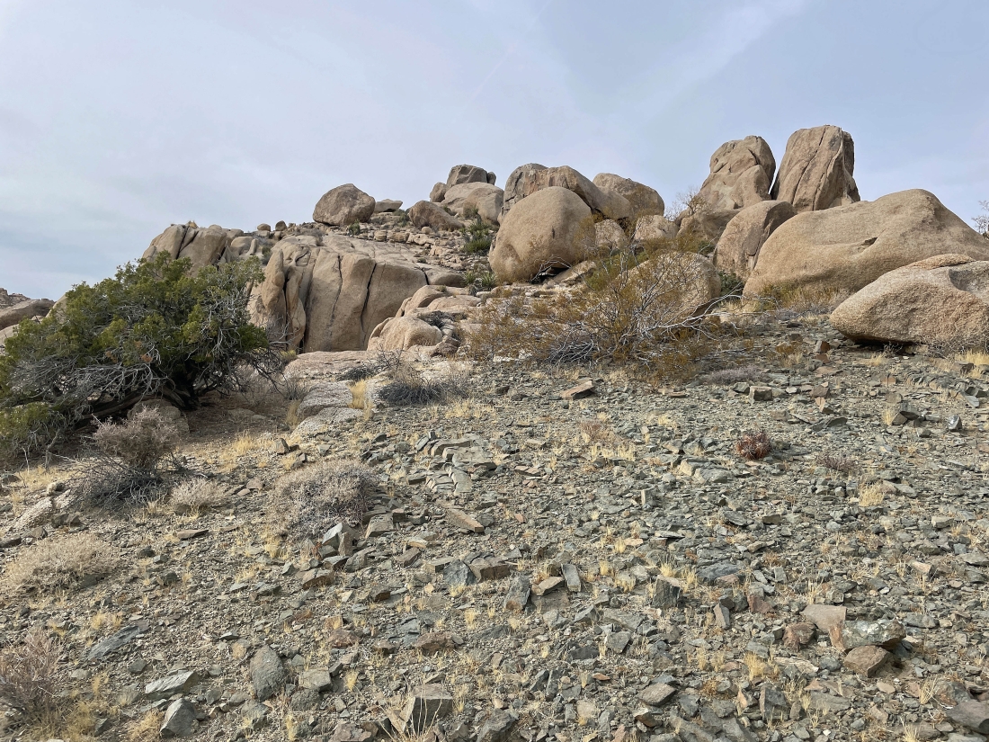
Earlier in our hike we were hiking west on the south side of this rock formation... and now we are hiking east on the north side of the rocks.
|
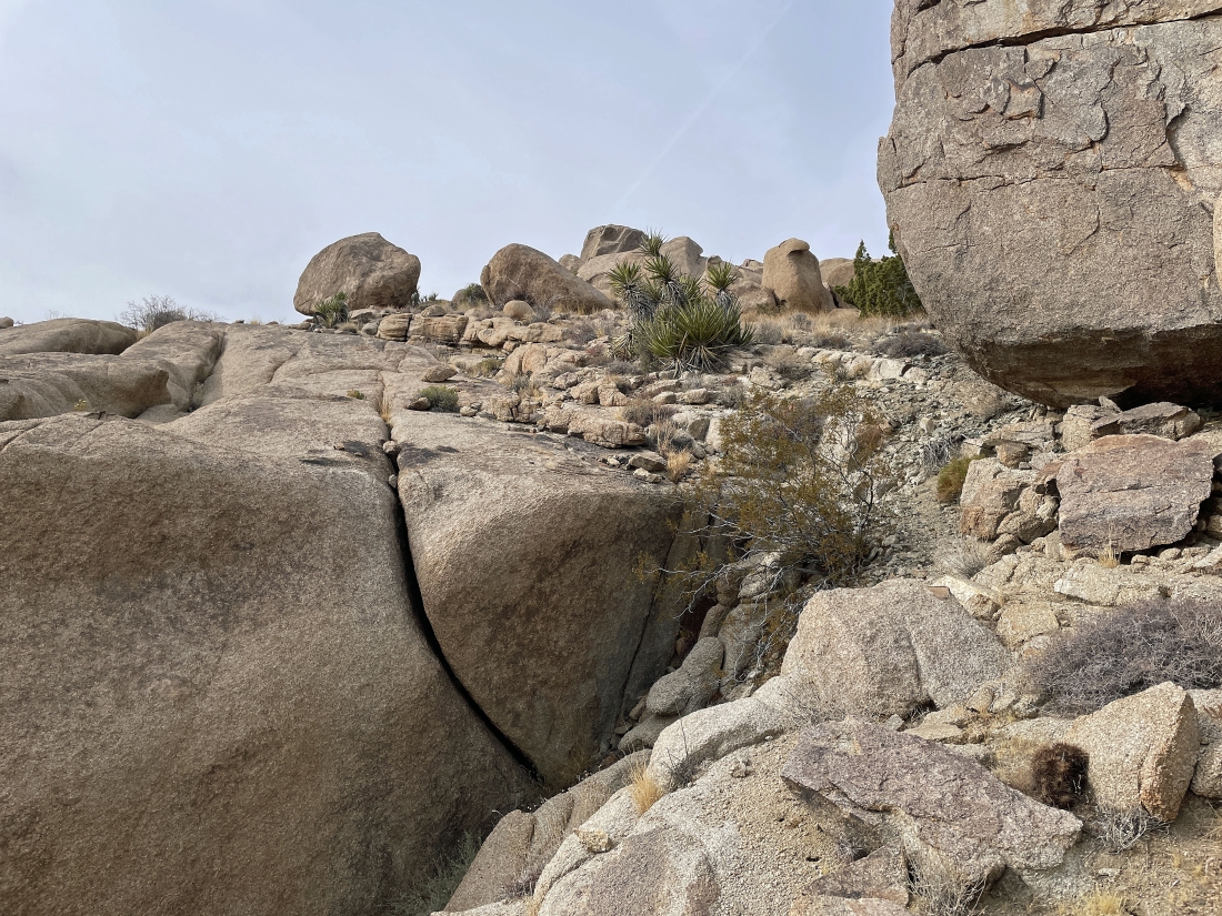
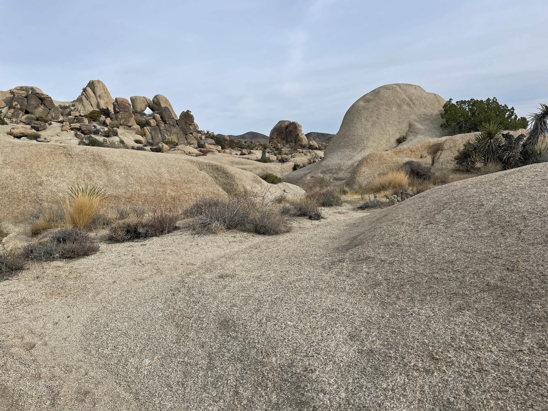
Continuing to hike east on our way back to the cars... but that looks like an interesting rock formation out there in the distance.
|
Continuing to hike east in the Twin Tanks area... nearing what looks like some interesting terrain.
|
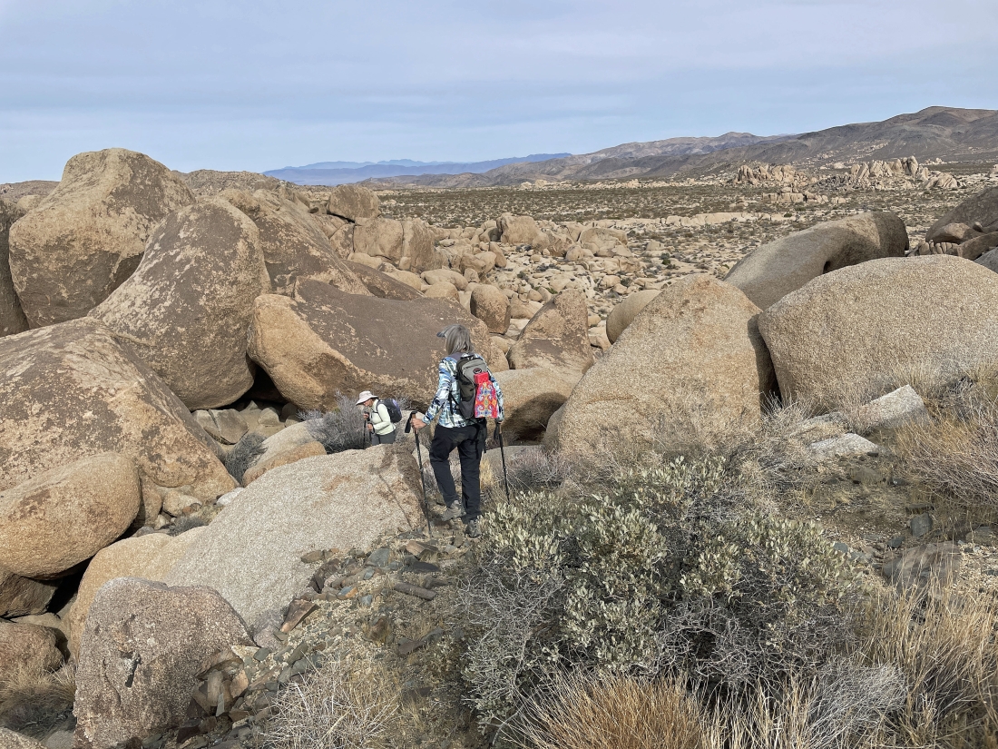
Following Star Dancer in some interesting terrain.
|
Star Dancer leads the way... with the Pinto Mountains on the horizon.
|
Continuing to hike east in the Twin Tanks area... with that sundog doing its thing in the far right corner of the photo.
|
Looking back as the gang is working their way over to join me... and that sundog feels like it is growing.
|
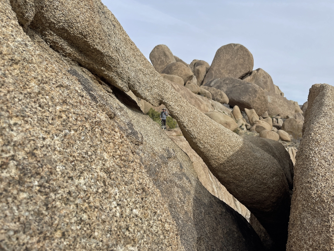
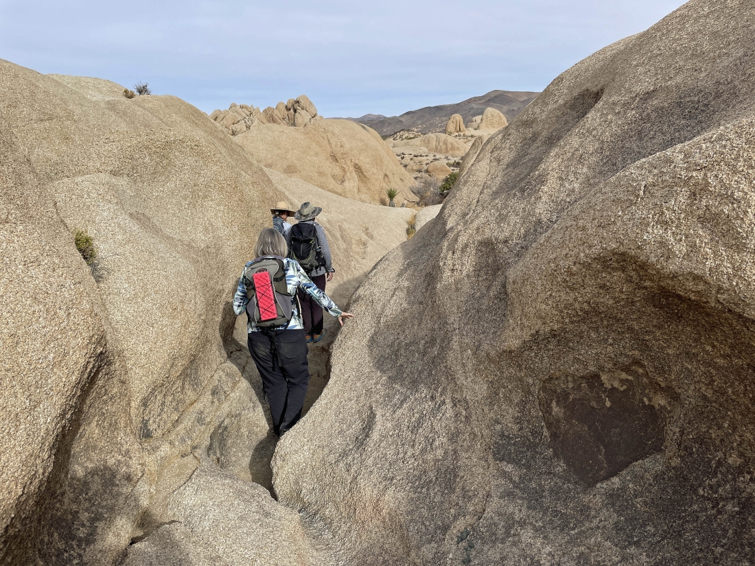
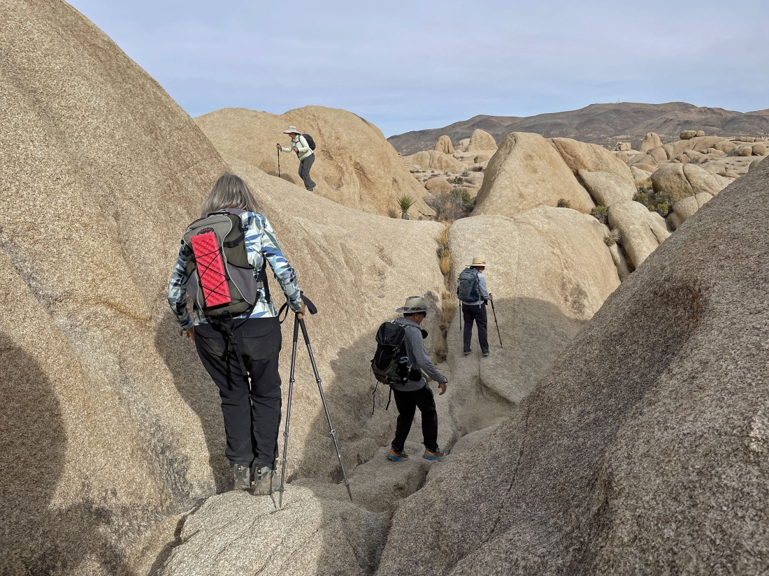
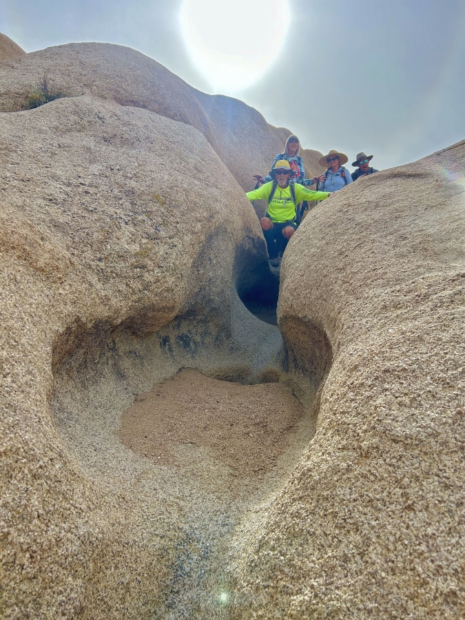
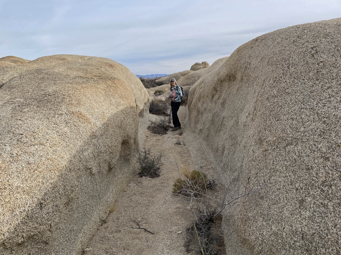
Star Dancer has found another challenge for us.
|
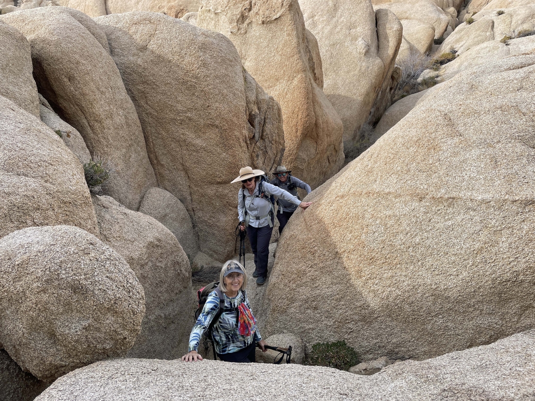
Star Dancer took this photo of us following down through these tight squeezes.
|
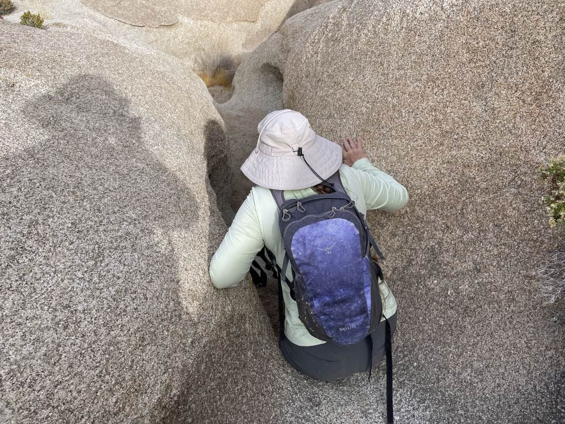
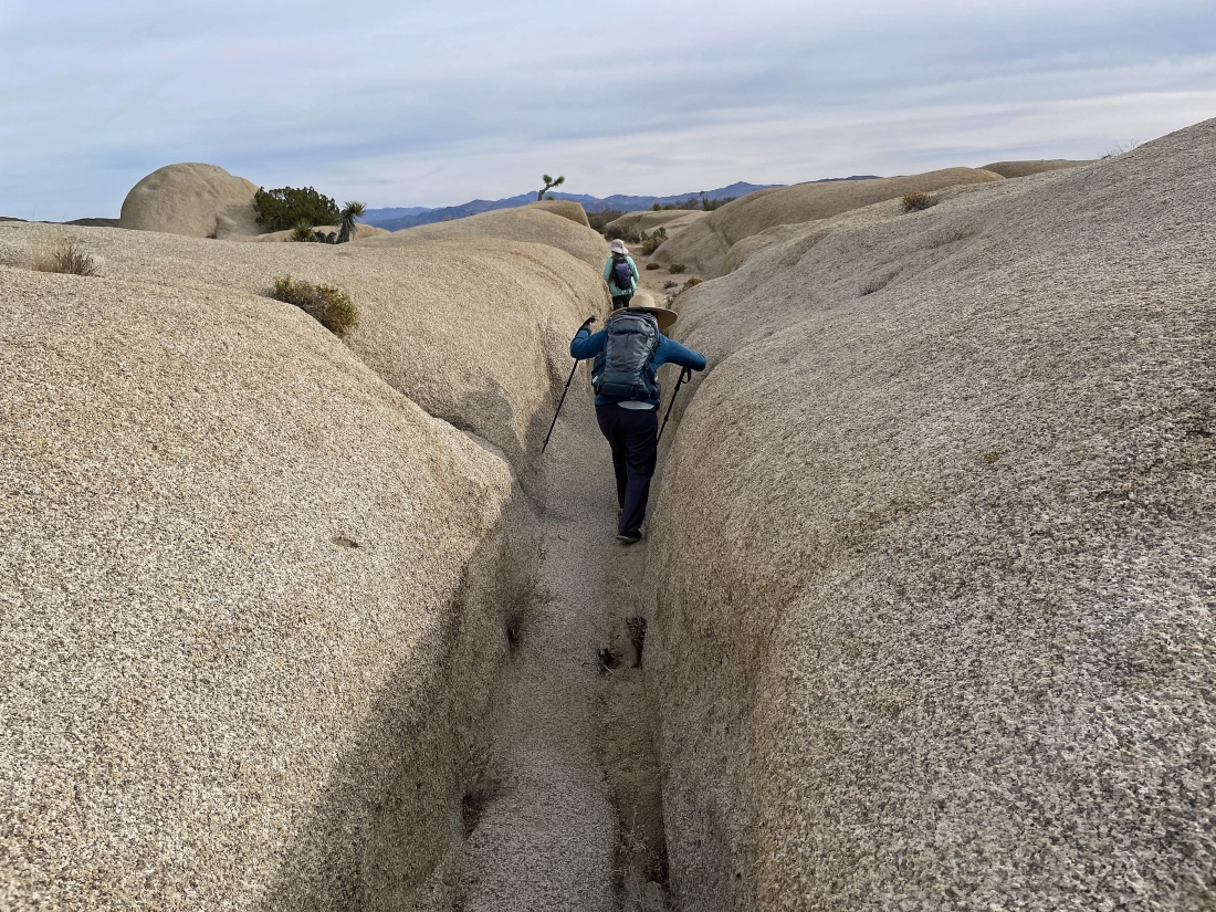
Time to come up out of the narrow passages.
|
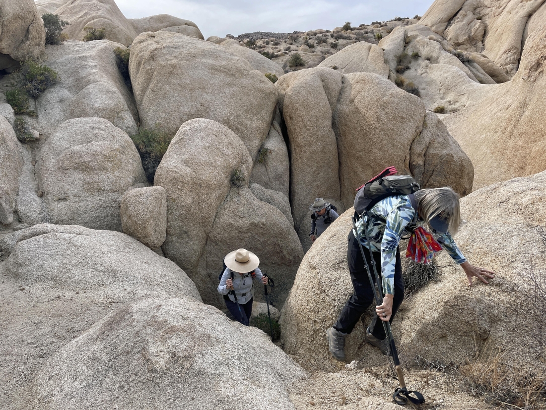
Time to come up out of the narrow passages.
|
Looking back.
|
Continuing to hike east back to our cars.
|
Continuing to hike east back to our cars... with the Pinto Mountains on the horizon.
|
Continuing to hike east back to our cars.
|
Continuing to hike east back to our cars.
|
Continuing to hike east back to our cars.
|
Continuing to hike east back to our cars... the cars are a stone's throw away... the total hike was 3.8 miles, gaining 415 feet of elevation.
|
